and the Spring Mountains National Recreation Area
Hiking Around Las Vegas
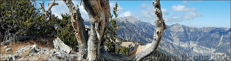
Overview The Spring Mountains are a long, linear, north-south aligned range of mountains (map) that stretch for about 55 miles and form the western border of the Las Vegas Valley. From the perspective of town, the Spring Mountains are anchored by Mount Charleston (11,918 ft) to the northwest and Mount Potosi (8,514 ft) to the southwest. Red Rock Canyon, directly west of town, lies between the two mountains, and the Cold Creek area lies north of Mount Charleston. The mountains rise from desert valleys at elevations below 2,000 ft to nearly 12,000 ft, creating a variety of climate and vegetation zones. Because they stand so tall and are completely surrounded by desert, the Spring Mountains form an island of mountainous habitat in a sea of desert. Isolation of the upland flora and fauna has resulted in the evolution of endemic species and subspecies, about 30 of which have been named; others surely await discovery. Recreational opportunities include a visitor center, over 50 miles of maintained trails, four picnic areas, eight campgrounds, and several dirt roads. Hunting is permitted in season, and bicycles are permitted on some trails. For More Information on Getting to Mt. Charleston, Hours of Operation, Entrance Fees, Car Camping, Hiking Permits, Precautions, Rules and Regulations, and Links to More Information, visit the Mt. Charleston Area Overview Page. |
Happy Hiking! All distances, elevations, and other facts are approximate.
![]() ; Last updated 240329
; Last updated 240329
| Hiking Around Las Vegas | Glossary | Copyright, Conditions, Disclaimer | Home |