Hiking Around Las Vegas, Mount Charleston Area, Lovell Canyon
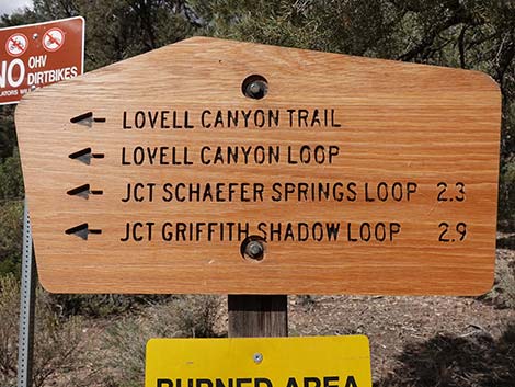 Sign at Lovell Canyon Trailhead. Schaefer Trail starts in 2.3 miles |
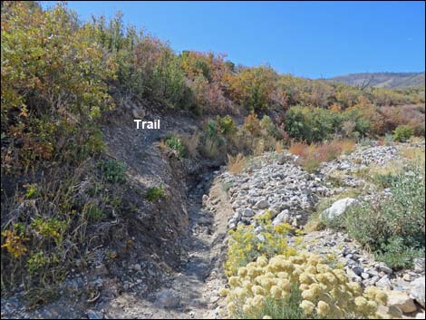
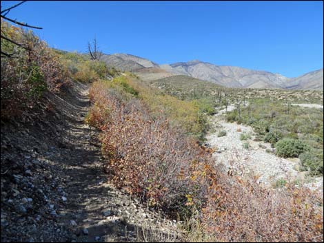
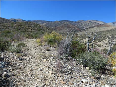
Overview The Schaefer Spring Loop Trail is a fairly easy loop trail in burned-over pinyon-juniper forest at the head of Lovell Canyon, a little visited area south of Griffith Peak and Harris Mountain. This trail is short, only 1.6 miles, but it takes a total of 7.1 miles on the Lovell Canyon Trail and the Schaefer Trail to do it. Thus, this trail should be thought of as an extension loop off the top of the loop on the Lovell Canyon Trail. The forest burned many years ago, so the view is cleared out and the trail provides grand views up and down Lovell Canyon, but surprisingly, no views of any springs. For hikers desiring to do the loop in the other direction, see Schaefer Spring Loop Trail - Eastbound. This trail was recently built by the U.S. Forest Service. I commend the engineers for laying out a nice trail, and I especially commend the crews who worked so hard building a nice trail for the rest of us. Link to Area Map or Hiking Map. |
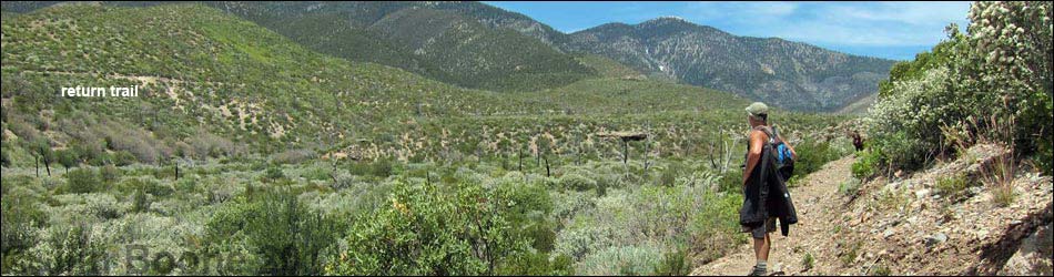
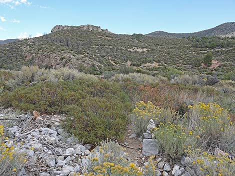
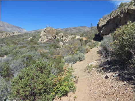
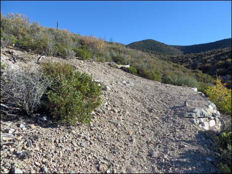
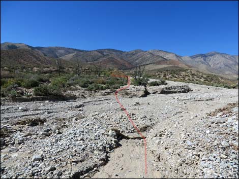
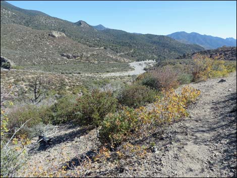
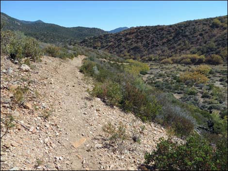
 Below rocky crag, hiker approaching Lovell Wash (view N) |
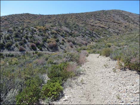
Watch Out Other than the standard warnings about hiking in the mountains, this trail is pretty safe and without unusual hazards. The trail is not very strenuous, making it a nice way to hike at higher elevations with few oxygen deficit issues. While hiking, please respect the land and the other people out there, and try to Leave No Trace of your passage. Also, this hike is in a remote area, so be sure to bring the 10 Essentials. This hike runs near Private Property and into the La Madre Wilderness Area, so please pay particular attention to taking care of the land. |
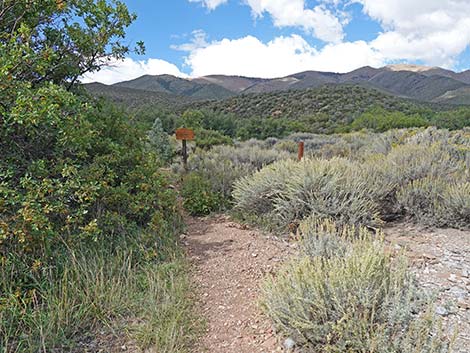
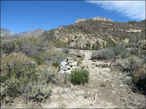
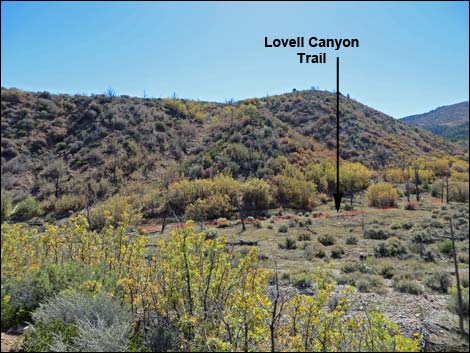
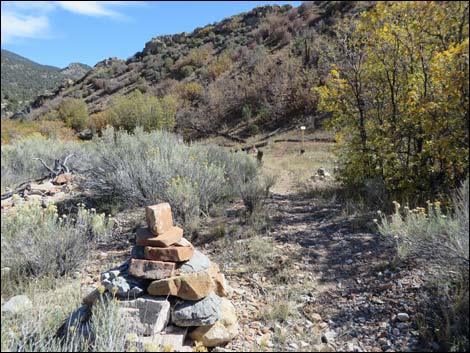
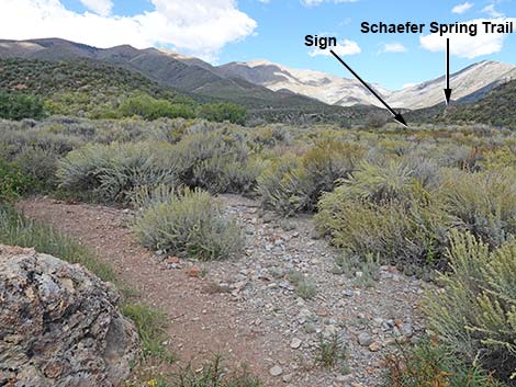 At corner, Schaefer Spring Trail and sign come into view (view N) |
Getting to the Trailhead This hike is located up in the Spring Mountains National Recreation Area at the north end of Lovell Canyon, about 1-1/4 hours west of Las Vegas. From town, drive out Highway 160 towards Pahrump. About three miles past Mountain Spring Summit, turn right onto Lovell Canyon Road. Drive north 11 miles to Lovell Summit Road. Turn left onto Lovell Summit Road and drive west 0.4 miles to Lovell Canyon Trailhead. |
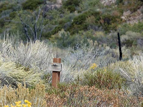 Zoom: Schaefer Spring Trail sign out in the wash (view N) |
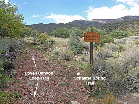
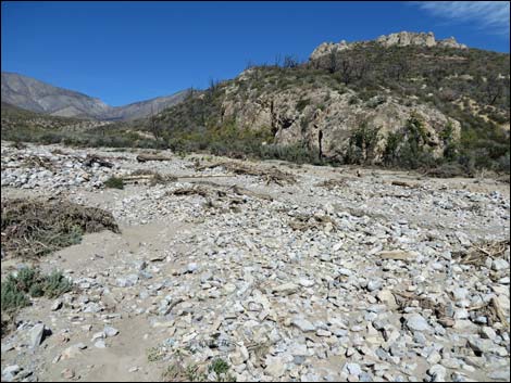
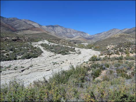
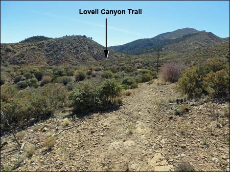
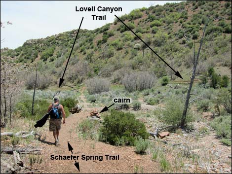
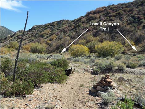
The Hike From the trailhead (Table 1, Waypoint 01), this hike runs north on the Lovell Canyon Trail. At the first fork (Wpt. 03), hikers can turn either way onto the loop section of the Lovell Canyon Trail. Staying right, the trail continues north and eventually runs down to the edge of Lovell Canyon Wash under a rocky promontory (marked with a trail sign that reads Lovell Canyon Trailhead 2.3 miles back). The trail bends left under the crags and arrives at a trail junction (Wpt. 05) marked with an enormous cairn and a wooden trail sign. The sign indicates that the Schaefer Spring Loop Trail is farther west. Disregard the sign, as the trail to the right (north) is the east end of the Schaefer Spring "Loop" Trail. Note that Lovell Wash flash flooded in 2014 and washed out the trail across the wash, but the trail can be seen continuing across the wash to the north. |
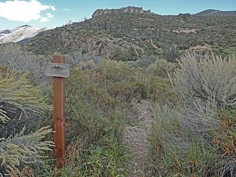
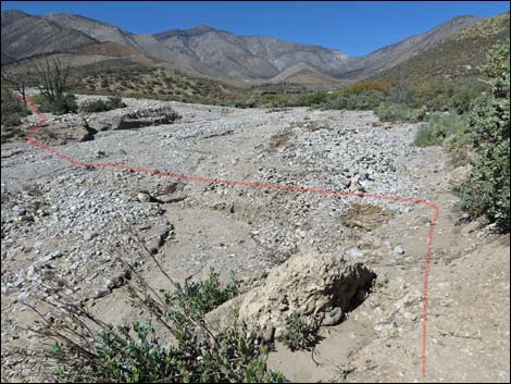
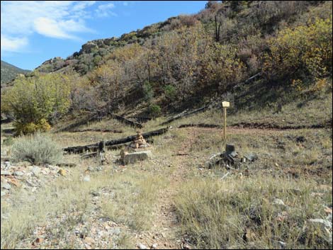
 Bending west, trail junction sign comes into view (view NW) |
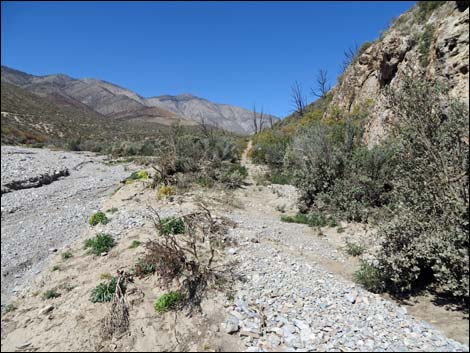
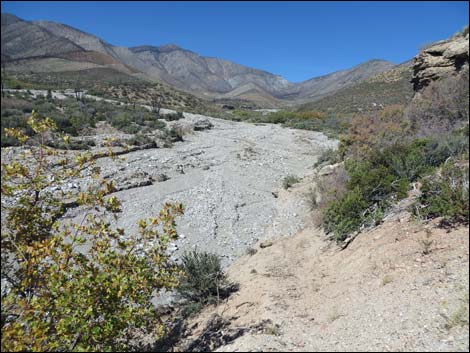
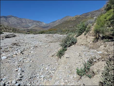
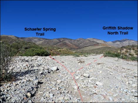
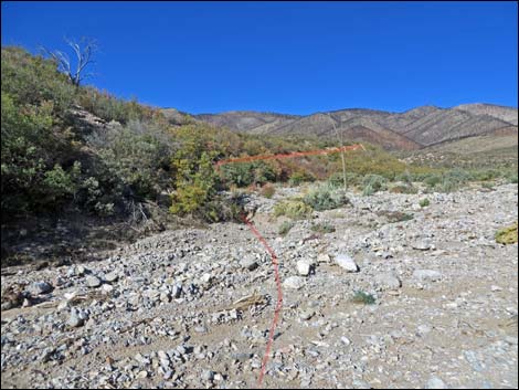
The Schaefer Spring Trail crosses the broad wash to the north heading for a rocky limestone outcrop (Wpt. 10) on the far edge of the wash. A cairn at the trail junction and another part-way across the wash marks the trail (four other cairns washed away). Beyond the wash, a good trail continues north, climbing at a gentle grade as it winds in and out of side canyons and onto the bench east of Lovell Wash. The trail passes one long switchback, then continues north and descends towards Lovell Canyon Wash again. At the edge of the wash (Wpt. 11), the trail is again washed out and the enormous cairns are gone. However, hikers can cross the wash and follow the far side of the flood debris west, aiming for the north end of a low, rocky cliff some 220 yards to the west. Part of the trail didn't wash out, but it is not necessary to find this short segment of trail. At the right end of the low, rocky cliff (Wpt. 12), the obvious trail cuts up and across the hillside to the west, but observant hikers will notice another trail across the wash cutting up the hillside to the north -- this is the start of the Griffith Shadow North Trail. |
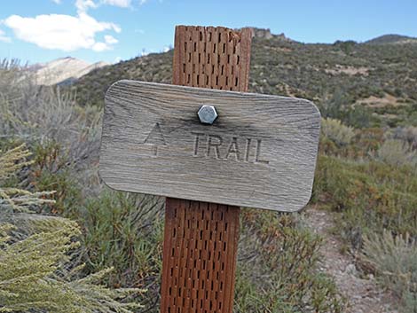
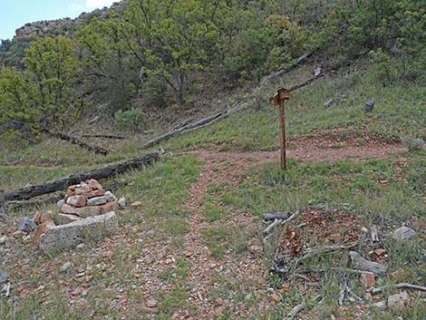
 Schaefer Spring Trail branches to the right (view W) |
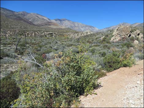
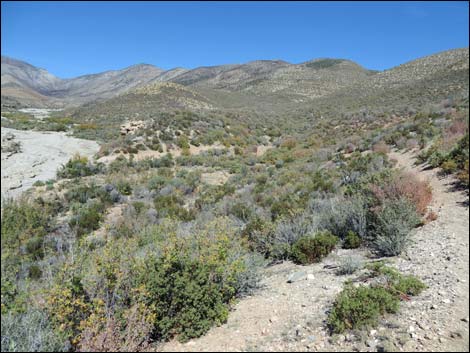
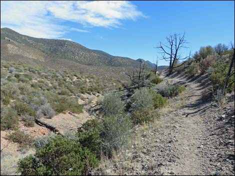
The Schaefer Spring Trail climbs atop the bluff, the highpoint along the trail, and continues west before eventually turns back to the south, winding in and out of gullies as it stays more-or-less on the contour. High in this part of the canyon, where old fires burned the forest, grand views can be had all around. The trail gradually winds down a low ridge and descends into a broad wash (that did not flashflood in 2014). This time, the wash crossing is anchored by two enormous cairns, one on each side of the wash. From the first cairn (Wpt. 13), the trail runs across the wash south to the second cairn, which also marks the junction with the Lovell Canyon Trail (Wpt. 06). A sign here shows that the Schaefer Spring Trail turns north (back up the trail), but it seems that the sign should indicate that this is just the west end of the Schaefer Spring "Loop" Trail. From the junction, which is on the loop part of the Lovell Canyon Trail, hikers can turn left or right to follow the trail back to the trailhead (Wpt. 01). |
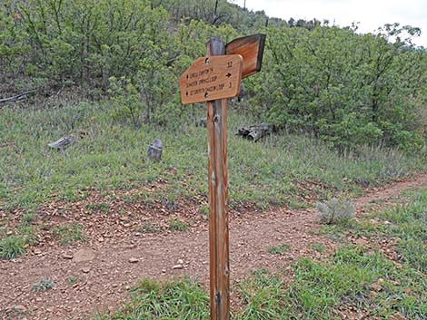
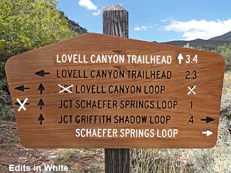 Trail sign edited for clarity and errors (view W) |
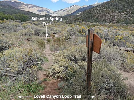 Schaefer Spring Trail (view N from Lovell Canyon Loop Trail) |
 Crossing Lovell Wash, Schaefer Spring Trail is overgrown (view N) |
 Schaefer Spring Trail sign out in the wash (view N) |
 Schaefer Spring Trail sign (view N) |
 Crossing Lovell Wash, one cairn survived the flood (view N) |
 Lovell Wash, washed out trail (shrubs are growing in; view N) |
 Across Lovell Wash, the trail resumes at base of outcrop (view N) |
 Trail climbs above wash (view N) |
 Approaching next rocky outcrop (view N) |
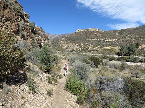
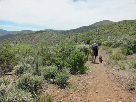
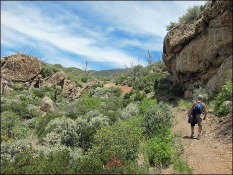 Hiker on trail (view N) |
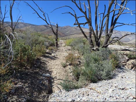
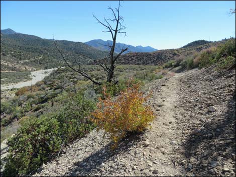
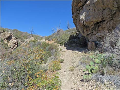 For morning hikers, this is the last shade (view N) |
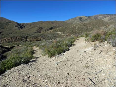
 Trail makes a long switchback up across the hillside (view NE) |
 Switchback (view NE) |
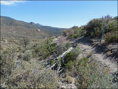
 Switchback; note return trail across the canyon (view W) |
 Trail runs back out to edge of canyon (view NW) |
 Looking out, trail climbs onto bluff behind outcrop (view NW) |
 Flash flood debris in Lovell Wash (view N) |
 Trail runs along hillside and drops into the wash (view N) Trail runs along hillside and drops into the wash (view N) |
 Trail drops to edge of wash (view N) |
 Trail along edge of wash (view N) |
 Washed put trail enters wash (view N) |
 Washed out trail crosses wash (view NW) |
 Trail runs on island of intact vegetation in the wash (view NW) |
 Washed out trail crosses more wash; trails split (view NW) |
 Schaefer Spring Trail climbs onto hillside (view NW) |
 Start of trail onto hillside is washed out too (view NW) |
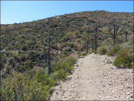
 Trail climbs across hillside (view NW) |
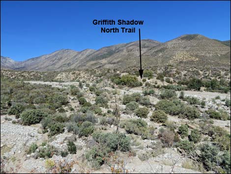 Griffith Shadow North Trail (view NE from Schaefer Spring Trail) |
 Schaefer Spring Trail climbs out of the wash (view W) |
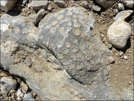 Coral fossils in the trail |
 Hiker on trail looping back towards the south (view SW) |
 Schaefer Spring Trail runs south on old trail (view SW) |
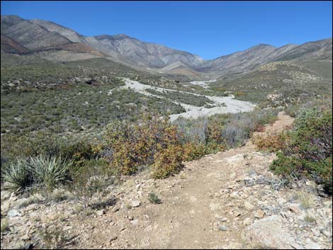
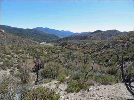
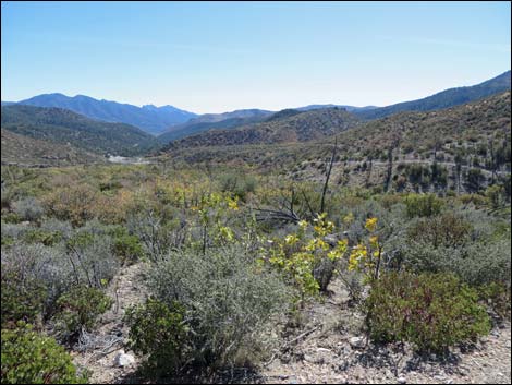 Grand view down Lovell Canyon (view S) |
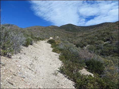
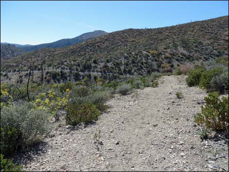
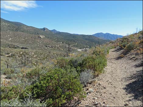
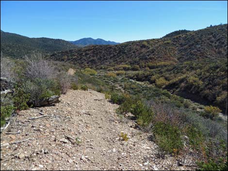
 Trail on old road descends gently on the contour (view W) |
 Trail on old road descends gently on the contour (view W) |
 |
 |
 |
 |
 |
 |
 |
 |
 |
 |
 Trail begins descent into wash (view SE) |
 Lovell Canyon Trail is visible on far hillside (view S) |
 Hiker returning towards Lovell Canyon Trail (view SE) |
 Returning towards Lovell Canyon Trail (view SE) |
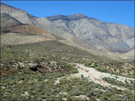
 Several large cairns mark trail across wash (view SE) |
 Schaefer Spring Trail West arriving at Lovell Canyon Trail (view SE) |
 Schaefer Spring Trail West at Lovell Canyon Trail (view SE) |
 Schaefer Spring Trail West trail sign (view SW) |
Table 1. Hiking Coordinates Based on GPS Data (NAD27; UTM Zone 11S). Download Hiking GPS Waypoints (*.gpx) file.
| Wpt. | Location | UTM Easting | UTM Northing | Elevation (ft) | Point-to-Point Distance (mi) | Cumulative Distance (mi) | Verified |
|---|---|---|---|---|---|---|---|
| 01 | Trailhead | 627507 | 4003172 | 5,958 | 0.00 | 0.00 | Yes |
| 02 | Ridge | 627447 | 4003435 | 6,250 | 0.50 | 0.50 | Yes |
| 03 | Trail Forks | 626728 | 4004447 | 6,244 | 1.09 | 1.59 | GPS |
| 04 | Private Property | 626670 | 4004828 | 6,203 | 0.34 | 1.93 | GPS |
| 05 | Trail Junction-1 (Schaefer Loop East) | 626510 | 4005299 | 6,237 | 0.36 | 2.29 | GPS |
| 10 | Large Cairn | 626518 | 4005404 | 6,230 | 0.07 | 2.36 | GPS |
| 11 | Large Cairn | 626388 | 4005972 | 6,373 | 0.52 | 2.88 | GPS |
| 12 | Trail Forks | 626191 | 4006002 | 6,434 | 0.13 | 3.01 | GPS |
| 13 | Large Cairn | 626321 | 4005261 | 6,300 | 0.86 | 3.87 | GPS |
| 06 | Trail Junction-2 (Schaefer Loop West) | 626367 | 4005233 | 6,290 | 0.04 | 3.91 | GPS |
| 07 | Trail Junction-3 (Griffith Shadow South) | 625998 | 4004898 | 6,459 | 0.34 | 4.25 | GPS |
| 03 | Trail Forks | 626728 | 4004447 | 6,244 | 1.26 | 5.51 | GPS |
| 02 | Ridge | 627447 | 4003435 | 6,250 | 1.09 | 6.60 | Yes |
| 01 | Trailhead | 627507 | 4003172 | 5,958 | 0.50 | 7.10 | Yes |
Happy Hiking! All distances, elevations, and other facts are approximate.
![]() ; Last updated 240329
; Last updated 240329
| Hiking Around Mt Charleston | Hiking Around Las Vegas | Glossary | Copyright, Conditions, Disclaimer | Home |