Hiking Around Las Vegas, Spring Mountains (Mt. Charleston), Lee Canyon
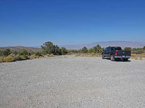
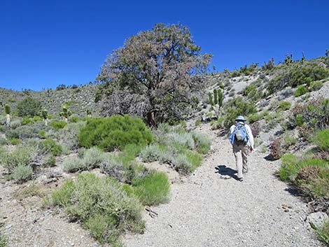
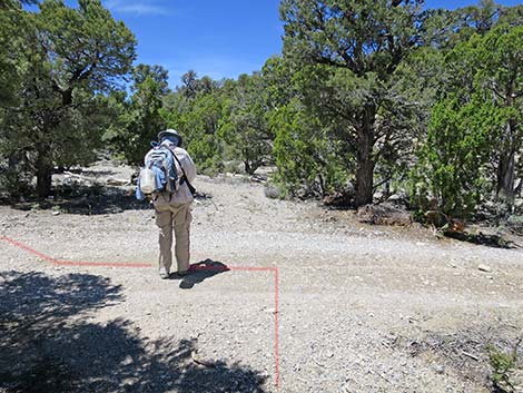
 Sawmill Trailhead (view NW; Wpt. 01) |
Overview The Sawmill Trails are a collection of new trails, old trails, homemade trails, closed roads, and open roads. The trails and intersections are poorly signed, and hikers need to take a good map and a GPS device if they hope to stay on a given trail (28 waypoint for this trail). That said, this is a nice hike with some grand views and plenty of shade. The Rocky Gorge Loop Trail is an 11.1-mile loop that starts from the Sawmill Trailhead along Lee Canyon Road and runs out to the northeast through Pinyon-Juniper forests and across broad, open shrublands. The trail starts by running east 4.2 miles on the Blue Tree Loop Trail. The Rocky Gorge Trail then continues east another 1.0 miles to where it starts looping back. The trail then runs west 3.7 miles to join the Pinyon Pine Loop Trail, which is followed 0.9 miles back to the Blue Tree Loop Trail. Another 1.3 miles of retracing one's step on the Blue Tree Loop Trail returns hikers to the trailhead. |
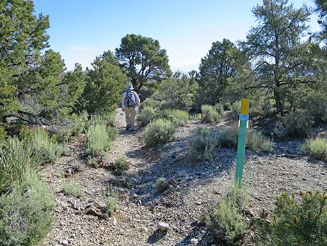
 Trailhead sign (0.00 miles out; view NW) |
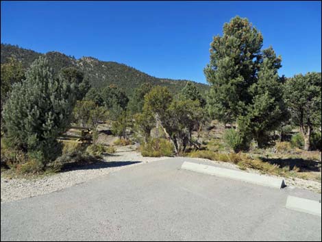
Watch Out Other than the standard warnings about hiking in the desert, ... this is a fairly safe hike without unusual hazards. However, this loop trail is located outside the Mt. Charleston Wilderness Area and is open to mountain bikes, so hikers have to watch for bikes careening down the trail. This hike is fine for kids if they can do the miles. While hiking, please respect the land and the other people out there, and try to Leave No Trace of your passage. Also, this hike is fairly long, so bring what you need of the 10 Essentials. Getting to the Trailhead The trail is located up in the Spring Mountains National Recreation Area (generally referred to as Mt. Charleston), but below Lee Canyon, about 45 minutes northwest of Las Vegas. From town, drive out to the Sawmill Trailhead. This hike starts in the Upper Picnic area near the restrooms. |
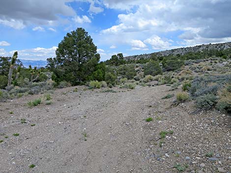
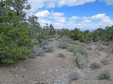
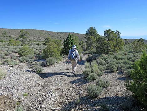
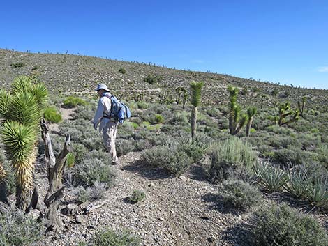
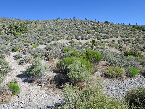
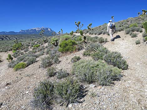
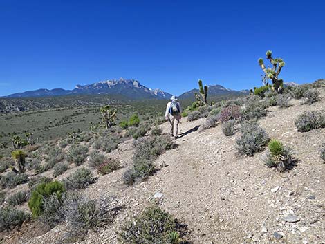
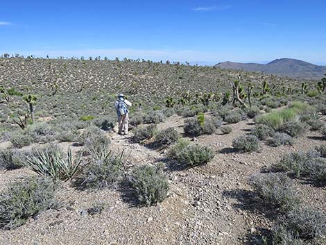
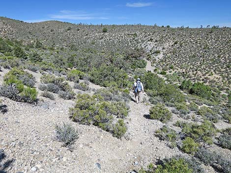
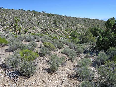
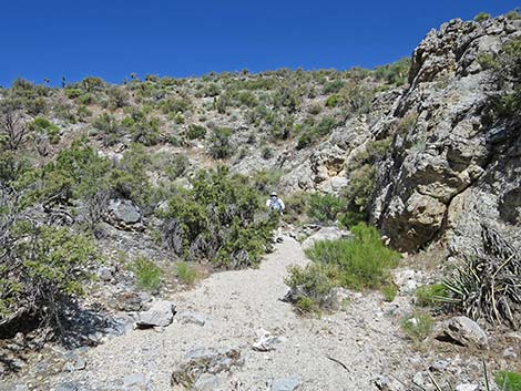
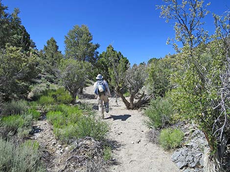
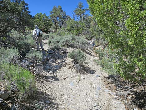
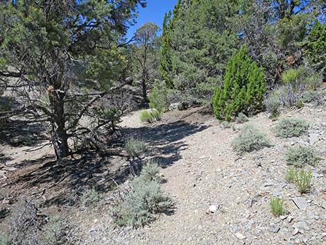
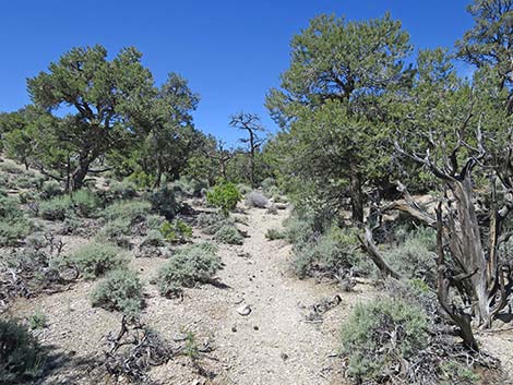
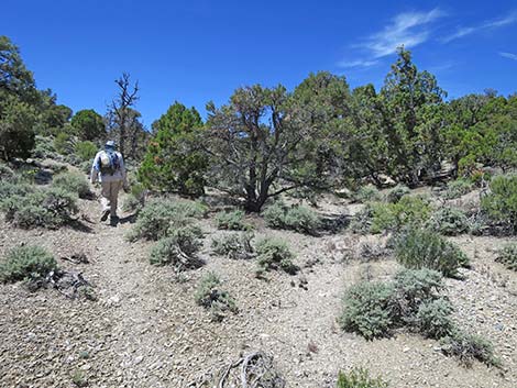
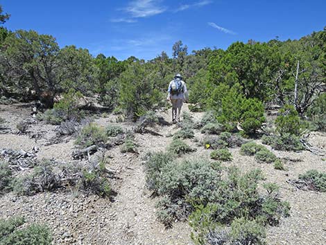
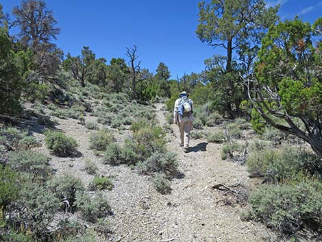
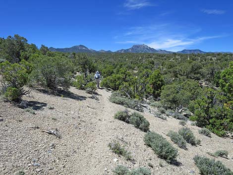
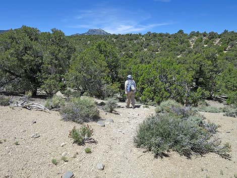
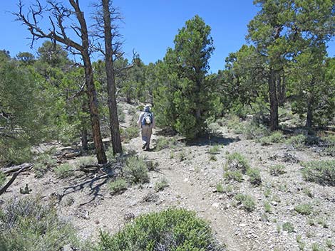
 Rocky Gorge Loop Trail (0.02 miles out; view NE) |
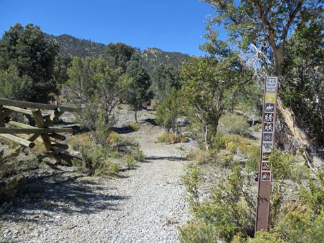
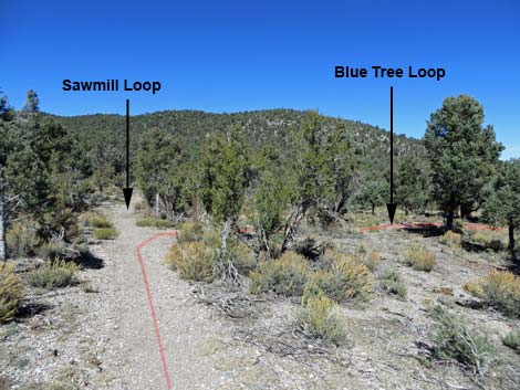
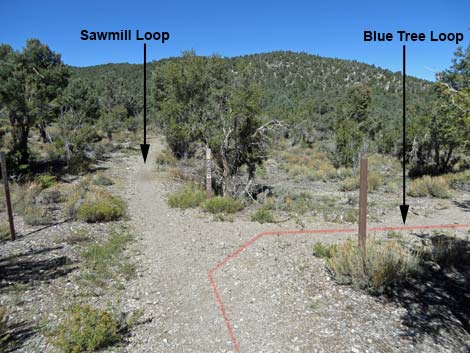
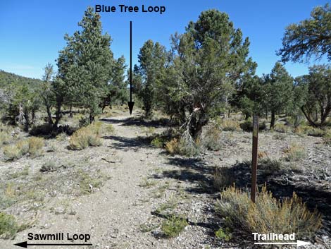
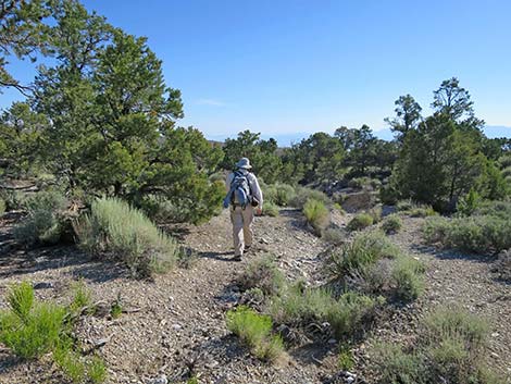
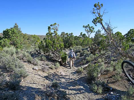
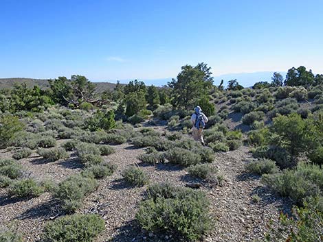
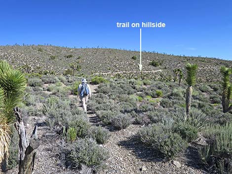
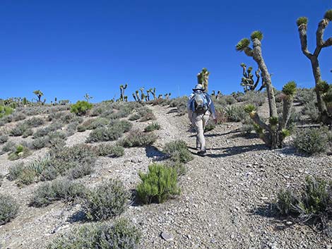
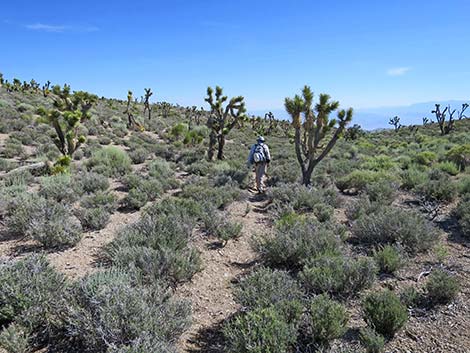
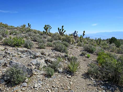
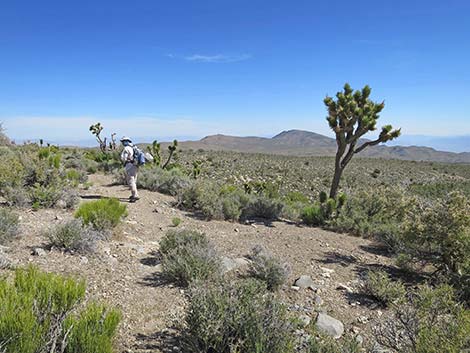
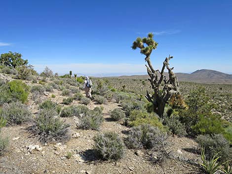
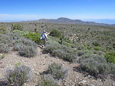
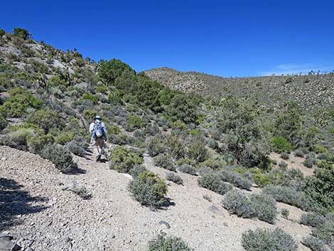
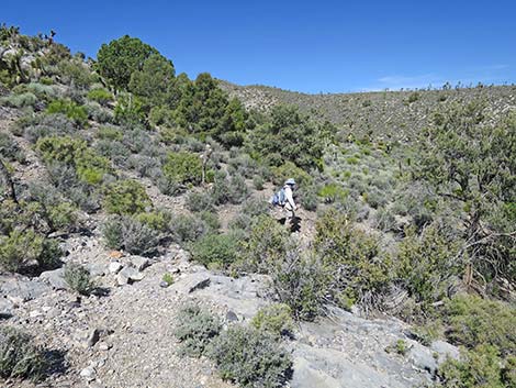
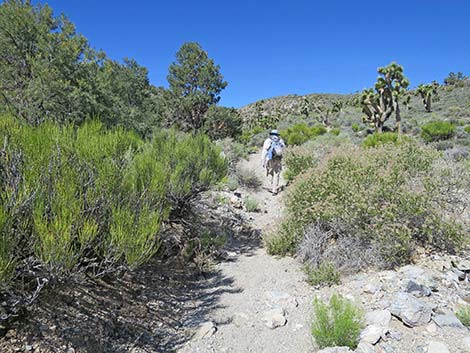
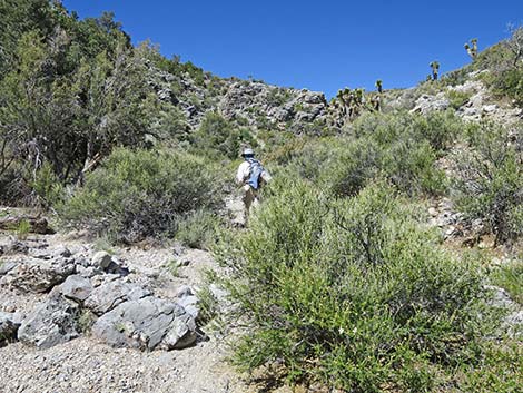
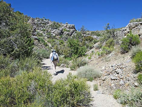
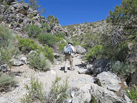
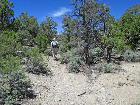
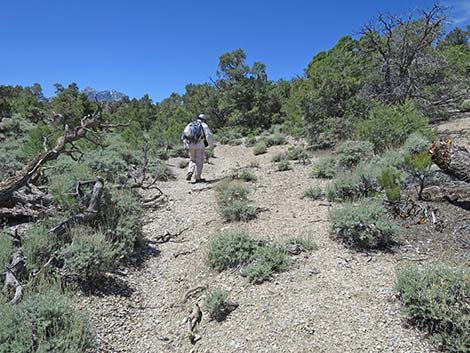
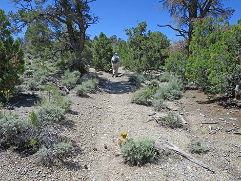
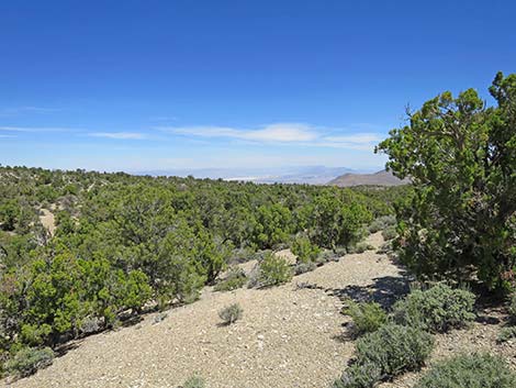
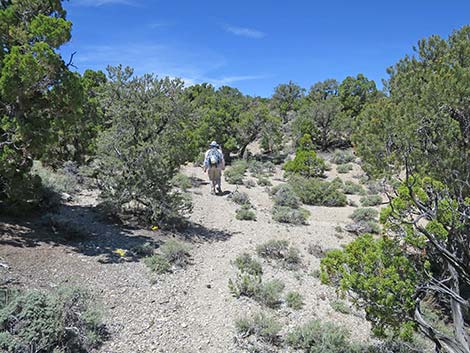
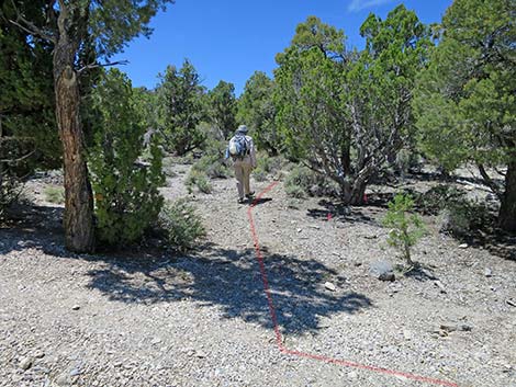
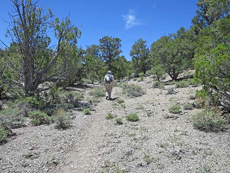
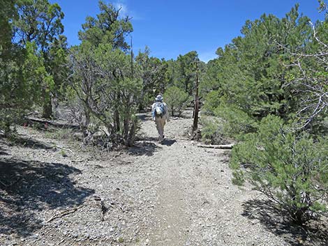
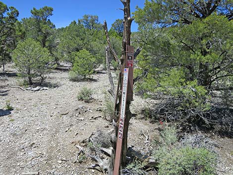
The Hike From the upper trailhead (Table 1, Waypoint 01) near the restrooms, the trail starts northwest past a carsonite trail sign and through a gap in the pole fence. After what seems like only a few steps (about 50 yards), the trail reaches a junction (Wpt. 02; 0.03 miles out). Here, the Blue Tree Trail, Pinyon Pine Loop Trail, and Rocky Gorge Loop Trail all turn right to head northeast. The Sawmill Loop Trail, Big Sawmill Loop Trail, and Mud Springs Loop Trail continue straight heading northwest, although hikers could turn right and hike the loops in the opposite direction. Continuing northeast, the Rocky Gorge Trail reaches a T-intersection (Wpt. 06; 0.21 miles out). Here, the Blue Tree Trail splits to form a loop that can be hiked in either direction. Hikers on all of the other loop trails, including the Rocky Gorge Trail, turn left here. Heading west from this T-intersection, the Rocky Gorge Trail bends eastward to climb over hill and dale as it winds through shady trees, traverses open spaces with big views, and passes several confusing trail junctions. For details of the next 4 miles of the Rocky Gorge Trail (where it follows the Blue Tree Trail), see Blue Tree Loop Trail. |
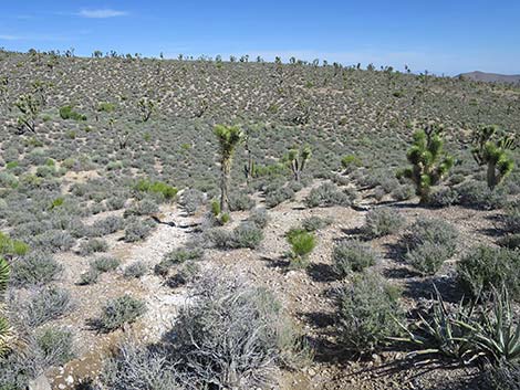
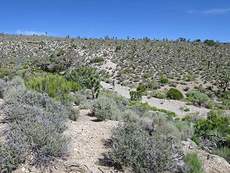
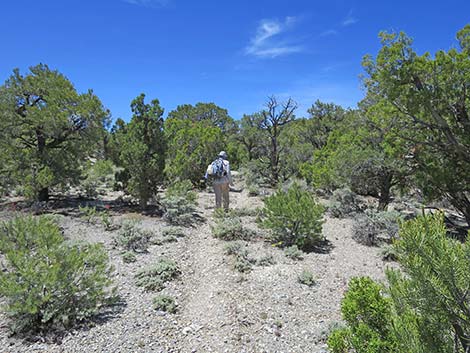
 Rocky Gorge Loop Trail (0.02 miles out; view NE) |
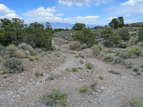
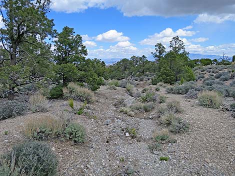
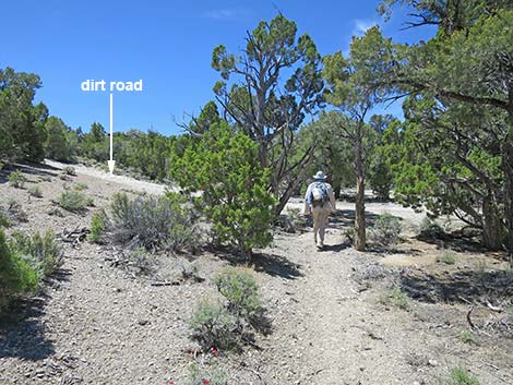
Even so, the Blue Tree Trail is rather convoluted with many confusing trail junctions: 0.44 miles out (Wpt. 005). Trail bends right to run northeast 0.81 miles out (Wpt. 014). Trail continues north 1.29 miles out (Wpt. 048). Trail continues east across the slope 1.51 miles out (Wpt. 048a). Trail merges onto road eastward 2.90 miles out (Wpt. 081). Trail crosses road heading eastward 2.97 miles out (Wpt. 082). Trail stays left at fork heading northeast 3.35 miles out (Wpt. 083). Trail turns right onto road heading south 3.37 miles out (Wpt. 083a). Trail turns left onto road heading east |
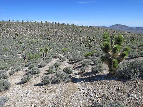
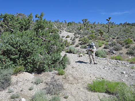
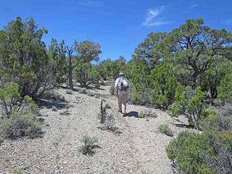
 Rocky Gorge Loop Trail (0.02 miles out; view NE) |
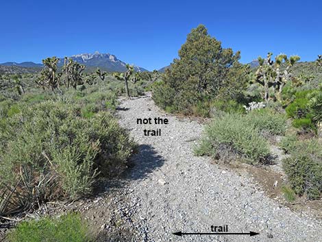
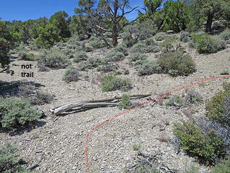
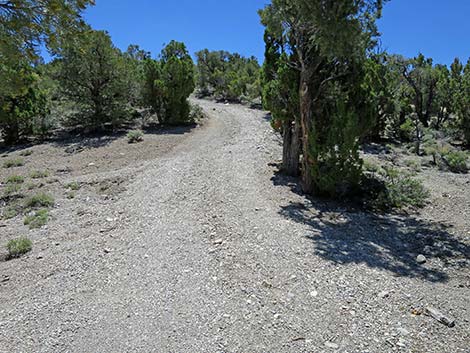
Wpt. 084; 3.95 miles out; trail continues straight (eastward) on road Wpt. 085; 3.99 miles out; trail continues southeast on road. Nearing the far end of the Blue Tree Loop, the trail runs on a well-used graded road past a gravel pit. The trail follows around the northeast side of the gravel pit and arrives at the Gravel Pit Trailhead, on the left (Wpt. 55; 4.24 miles out). At this trailhead, the Rocky Gorge Loop Trail forks off to the northeast and runs down a wash, while the Blue Tree Loop follows the road out to Lee Canyon Road and loops back towards the trailhead. From the east end of the trailhead parking area (map), the Rocky Gorge Trail follows a short road-spur to the right into a shallow wash. A use-trail appears to go straight out of the east end of the parking area, but this is not the trail and soon fades into the bushes. |
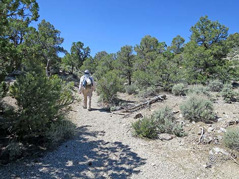
 Nearing far end of the Blue Tree Loop (4.19 miles out; view SE) |
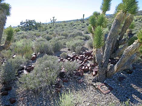
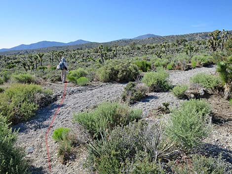
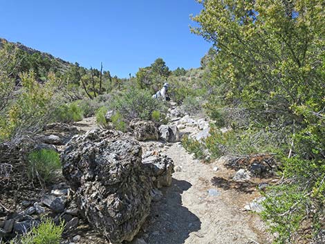
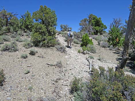
The Rocky Gorge Trail runs in and out of the narrow wash bottom, and at about 4.63 miles out, passes a fairly large can-dump on the right just out of the wash. Generally, old cans are just trash in the desert, but a collection like this is considered historically interesting, so as with archeological artifacts, look and touch, but leave them here. Continuing down the wash, what appears to be an old road can be seen climbing the hillside ahead on the left in the distance. This is actually the Rocky Gorge Trail ahead and is a clue that the trail will eventually curve left. At a big tree in the wash (Wpt. 105; 5.00 miles out), the trail abruptly turns left and exits the wash to head north across shrub-covered flats. Heading north, the Rocky Gorge Trail hits a sandy wash at the base of the hillside (Wpt. 110; 5.05 miles out). For hikers heading in this direction, it is obvious that the trail continues straight across the wash and starts up the apparent old-road ahead. However, for hikers coming from the other direction, it appears that the trail drops down the hillside and turns up the sandy wash. |
 Blue Tree Trail approaching Gravel Pit Trailhead (4.23 miles out) |
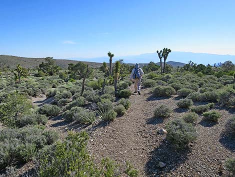
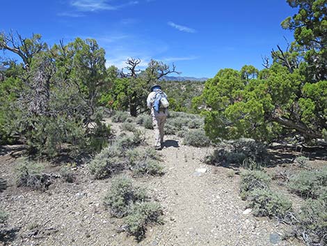
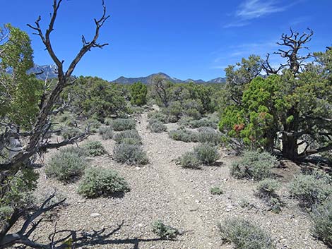
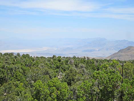
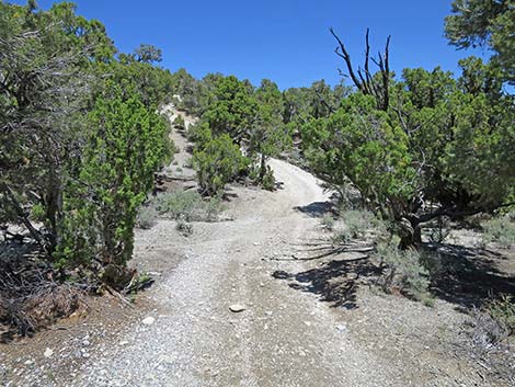
The Rocky Gorge Trail starts up the old road, where it soon becomes apparent that this is a well-built bicycle trail. The trail climbs eastward at moderate grades up across the slope until switchbacking (Wpt. 115; 5.25 miles out) back to the west. Again, the trail climbs at moderate grades up across the slope until eventually reaching a high ridgeline (Wpt. 120; 5.55 miles out). This high ridgeline provides vast views to the north and east across rolling desert terrain where the low shrubs and few Eastern Joshua Trees do not obscure the view. The trail runs northward across this rolling terrain until curving to the northeast (5.80 miles out), and starting down a long, gentle ridgeline. At about 5.93 miles out, the trail abruptly bends to the left (north) and starts somewhat steeply down the hillside. There has been some erosion here, and it is easy to get sidetracked into the erosion gully. Watch carefully as the trail stays above and to the right of the erosion gully. At the bottom of the slope, the trail bends to the right (northeast) and continues down the shallow valley. The trail eventually contours out of the valley to the left and climbs onto the next ridgeline. |
 Blue Tree Trail at Gravel Pit Trailhead (4.24 miles out; view E) |
Following this ridge out, the trail climbs to an area with nice views all around, especially to the northeast. In this area, the shrubbery is somewhat sparse, and the trail is somewhat faint, making it hard to see the trail. At the end of this ridge, the trail bends to the left to run northwest. Watch carefully as the trail abruptly turns right and heads somewhat steeply down the slope to a narrow ridgeline. The trail remains on the ridgeline and is not too hard to follow. However, at about 6.18 miles out, the trail abruptly bends (Wpt. 125) to the left even though it appears to continue straight down the ridge. Watch for cairns here. Now heading generally west, the trail drops steeply across the hillside into a rocky side gully. The trail appears to cross the gully and start up across the slope. However, as the trail crosses the gully, it abruptly turns to the right and heads steeply down the slope all the way to the wash at the bottom of the canyon. When entering the rocky gully, a Singleleaf Pinyon Pine, just down the slope, obscures views of the trail heading in that direction. |
 Road-spur exiting Gravel Pit Trailhead (4.27 miles out; view E) |
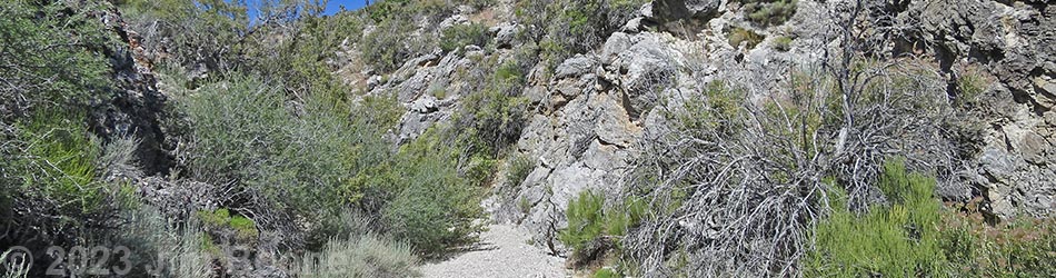
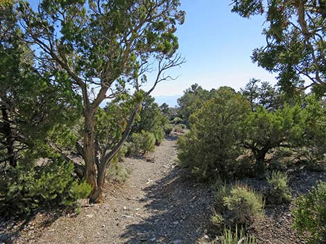
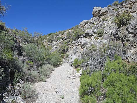
In the bottom of the canyon (Wpt. 130; 6.27 miles out), the trail turns upstream following the wash, which is Rocky Gorge Wash. When hiking in this direction, the route ahead is clear: hike up the sandy wash bottom. However, when hiking in the other direction, the point here, where the trail departs the wash, is difficult to discern because of the sparse vegetation and faint trail. Watch carefully for cairns and the trail heading up the hillside. Hikers who miss this turn might end up at Highway 95 before they figure out that they were off trail. Heading up Rocky Gorge Wash, in about 250 yards, the walls steepen, and the canyon narrows such that one begins to feel as if they really are in a rocky gorge. For the next 0.3 miles, the gorge is indeed rocky, winding, and quite scenic. The cliffs are never very high, but it is a nice place with some shade for resting. The shady, north-facing cliffs provide habitat for some interesting plants, and the vegetation contrasts sharply between the shady north-facing slopes and the sunny south-facing slopes. |
 Road-spur leads to shallow wash (4.27 miles out; view E) |
At the top of the gorge (Wpt. 135; 6.71 miles out), the canyon opens up, the cliffs lay back, but the Rocky Gorge Trail stays in the wash bottom. At about 6.87 miles out, the trail exits (Wpt. 140) the wash to the left, climbs onto the hillside, and drops back into the wash after about 60 yards, all for no apparent reason. It turns out that there are boulders in the wash that would obstruct a bicycle, so the trail planners worked around it. Back in the wash, the Rocky Gorge Trail continues southwest making odd jogs out of the wash to bypass large trees and boulders that would obstruct a bicycle. This makes the trail somewhat hard to follow, but for hikers, always staying in the wash bottom would work. After hiking up Rocky Gorge Wash for some 1.8 miles, the trail suddenly turns (Wpt. 145; 8.07 miles out) hard to the right and climbs out of the wash to the ridgeline to the north (only about 15 vertical feet). |
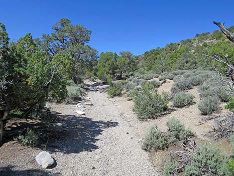
 Trail runs down wash (4.29 miles out; view E) |
The Rocky Gorge Trail continues southwest on more open, gently rolling terrain for about 0.2 miles before dropping into another drainage system, although it isn't much of a drop. Now heading southwest and upstream in this wash, Rocky Gorge Trail soon arrives as a fairly well-used dirt road (Wpt. 150; 8.44 miles out). Although not obvious when arriving at the road, Rocky Gorge Trail jogs left around a pine tree and continues up the canyon. At about 8.94 miles out, Rocky Gorge Trail reaches a junction (Wpt. 047) with the Pinyon Pine Loop Trail. The fact of a junction is not entirely obvious, but the Pinyon Pine Trail can be seen coming down the hill from the right. From this point, the two trails run together up the canyon until reaching a highpoint and then the next trail-road junction (Wpt. 048; 9.79 miles out) just over the ridge. This closes the loop for the Rocky Gorge and Pinyon Pine trails as they merge with the Blue Tree Trail, and from here, hikers can follow their footprints back to the trailhead. |
 Trail sometimes runs above the wash (4.29 miles out; view NE) |
Even so, from this confusing 5-way trail-road intersection, all three trails depart the intersection heading west across the slope. The trails pass a T-intersection (Wpt. 014; 10.25 miles out) continuing south. The trails pass an intersection (Wpt. 005; 10.65 miles out) bending a bit right and continuing southwest. The trails arrive at a T-intersection (Wpt. 006; 10.88 miles out) and turn right to run southwest. The trails arrive at a T-intersection (Wpt. 002; 11.06 miles out) and turn left to run southwest. Finally, the trails return to the trailhead (Wpt. 001; 11.09 miles out). |
 Trail runs down wash (4.29 miles out; view NE) |
 Trail sometimes runs above the wash (4.31 miles out; view NE) |
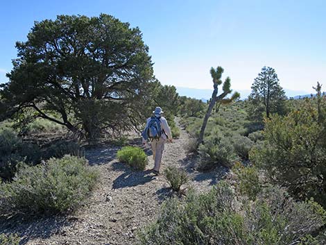
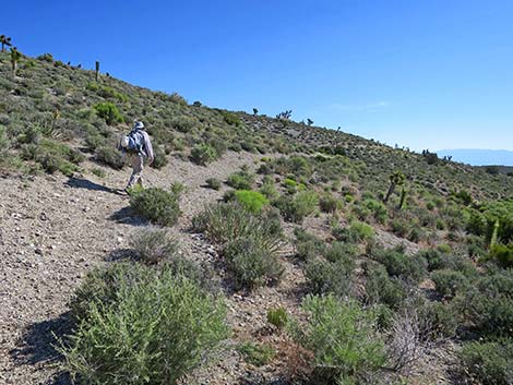
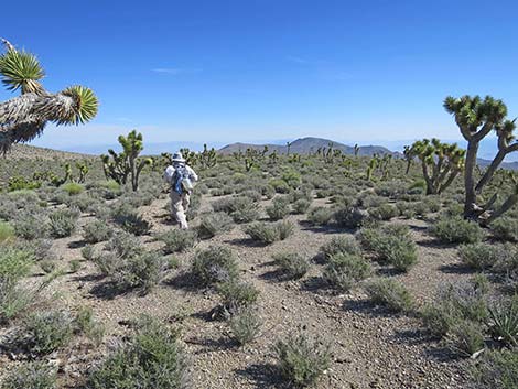
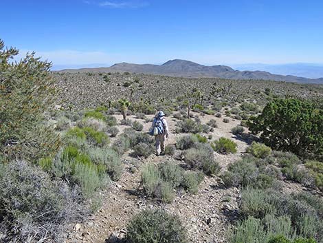
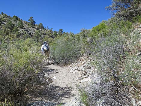
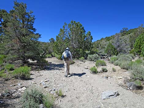
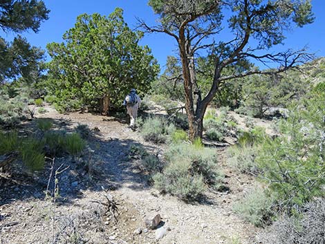
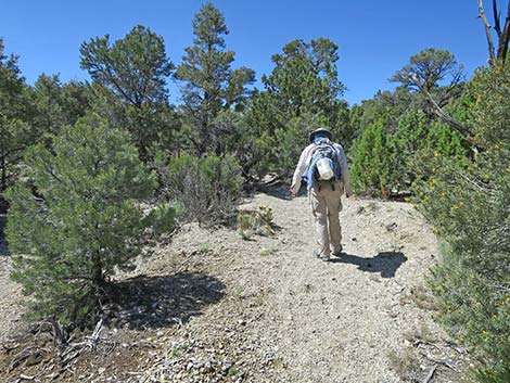
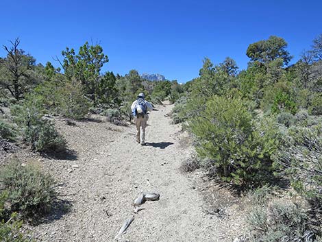
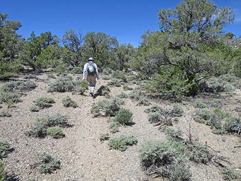
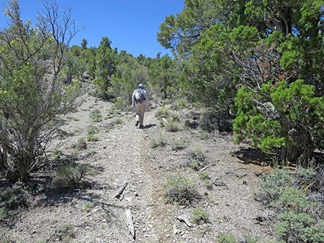
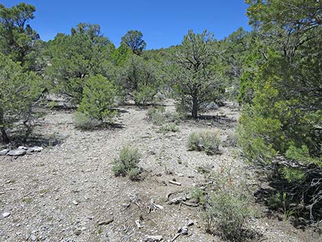
 Rocky Gorge Loop Trail (4.34 miles out; view N) |
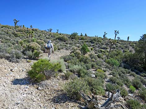
 Rocky Gorge Loop Trail (4.38 miles out; view NE) |
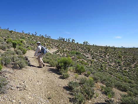
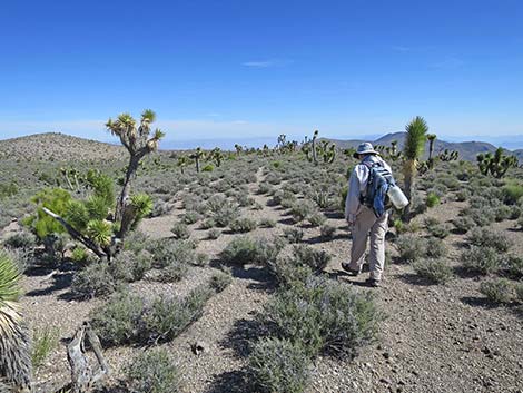
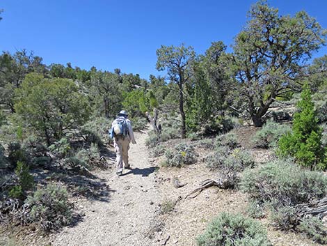
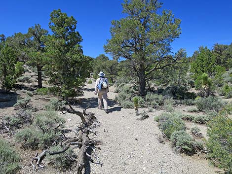
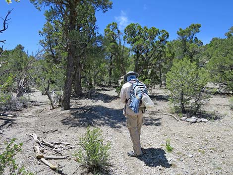
 Rocky Gorge Loop Trail (4.48 miles out; view NE) |
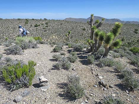
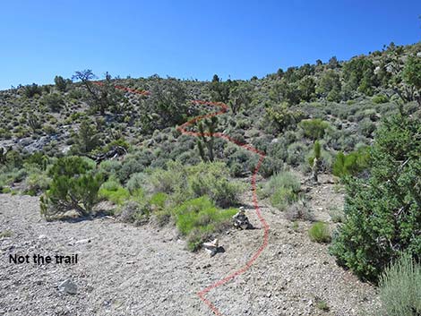
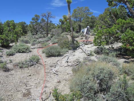
 Curious carsonite post (4.50 miles out; view NE) |
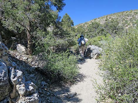
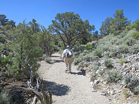
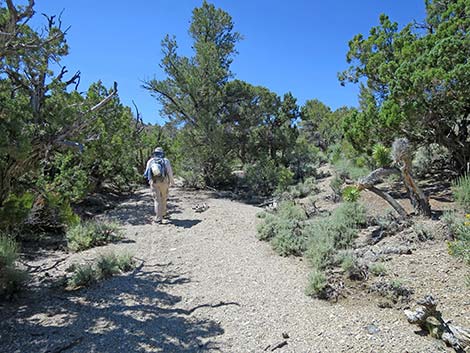
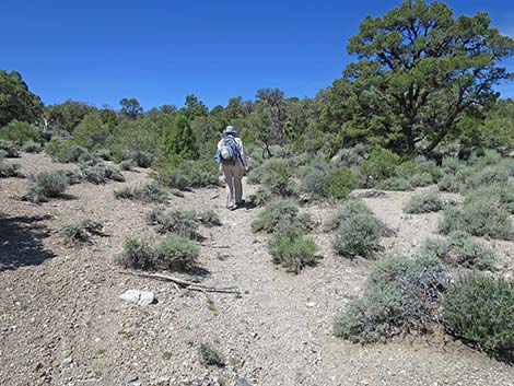
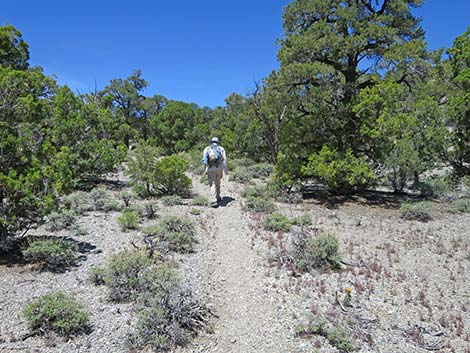
 Rocky Gorge Loop Trail (4.52 miles out; view NE) |
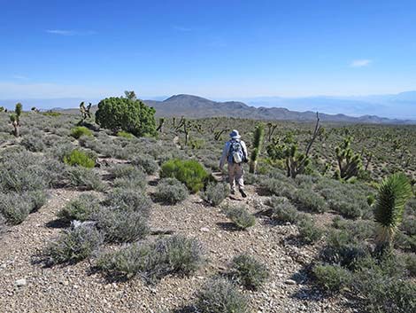
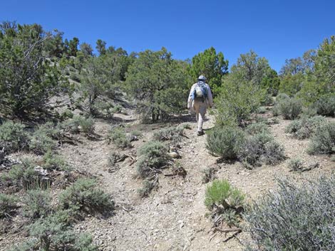
 Rocky Gorge Loop Trail (4.57 miles out; view NE) |
 Can dump (4.63 miles out; view SE from wash) |
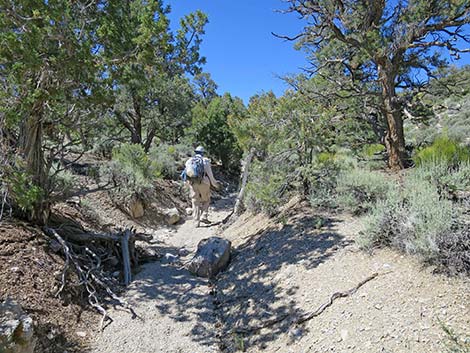
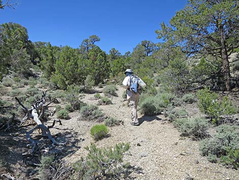
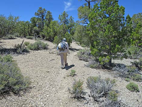
 Rocky Gorge Loop Trail (4.72 miles out; view NE) |
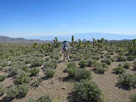
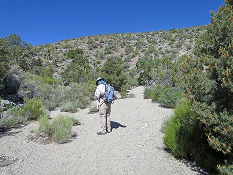
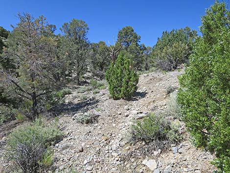
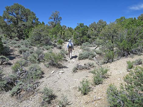
 Rocky Gorge Loop Trail (4.85 miles out; view NE) |
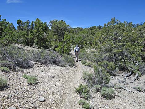
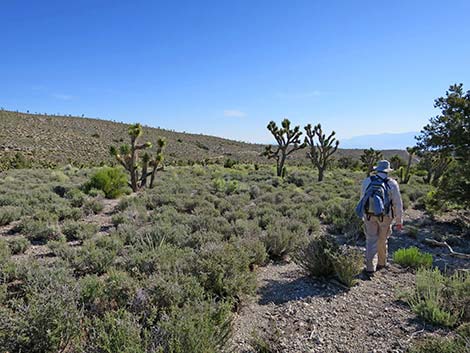 Rocky Gorge Loop Trail (4.88 miles out; view NE) |
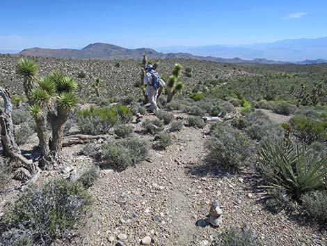
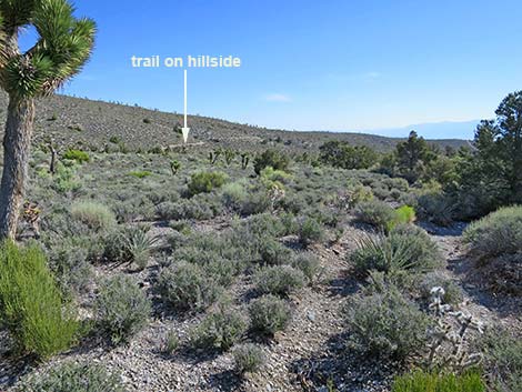 Note trail ahead on hillside (4.92 miles out; view NE) |
 Trail abruptly turns out of wash (5.00 miles out; view NW) |
 Hiker on trail departing the shallow wash (5.00 miles out; view NW) |
 Trail crosses wash to start up hillside (5.05 miles out; view NW) |
 Wash with footprints--not the trail (5.05 miles out; view SW) |
 Looking back: Hiker across wash showing the trail (view SE) |
 Trail starts up hillside (5.05 miles out; view NW) |
 Trail climbs up across hillside (5.05 miles out; view NW) |
 Hiker on a steep bit (5.16 miles out; view N) |
 Rocky Gorge Loop Trail (5.21 miles out; view N) |
 Hiker turning the big switchback (5.23 miles out; view N) |
 Big views (5.25 miles out; view SW) |
 Trail climbs gently across hillside (5.26 miles out; view W) |
 Rocky Gorge Loop Trail (5.31 miles out; view SW) |
 Rocky Gorge Loop Trail (5.41 miles out; view SW) |
 Rocky Gorge Loop Trail (5.44 miles out; view NW) |
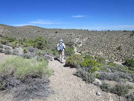
 Trail finally arrives at top of hillside (5.46 miles out; view W) |
 Trail turns north on high, open country (5.53 miles out; view N) |
 Rocky Gorge Loop Trail (5.56 miles out; view N) |
 Rocky Gorge Loop Trail (5.62 miles out; view N) |
 Rocky Gorge Loop Trail (5.71 miles out; view N) |
 Rocky Gorge Loop Trail (5.76 miles out; view N) |
 Rocky Gorge Loop Trail (5.83 miles out; view E) |
 Rocky Gorge Loop Trail (5.87 miles out; view NE) |
 It is easy to following erosion gully (5.93 miles out; view N) |
 Erosion gully left; trail right (5.94 miles out; view N) |
 Trail runs down the hillside (5.94 miles out; view N) |
 Hiker in valley bottom (5.97 miles out; view N) |
 Trail climbs onto side of ridge (6.05 miles out; view NE) |
 Trail bends left at crest of ridge (6.08 miles out; view N) |
 Trail across ridge (6.09 miles out; view NW) |
 Trail abruptly turns down across hillside (6.10 miles out; view N) |
 Trail drops to next ridgeline (6.12 miles out; view N) |
 Trail abruptly turns left; watch for cairns (6.18 miles out; view NE) |
 Trail abruptly turning left; watch for cairns (6.18 miles out; view N) |
 Trail starts into down Rocky Gorge Canyon (6.19 miles out; view NW) |
 Trail drops across hillside (6.20 miles out; view NW) |
 Trail approaching rocky side-gully (6.22 miles out; view SW) |
 Across rocky gully, trail turns downhill (6.23 miles out; view W) |
 View of trail is obscured by pinyon pine (6.24 miles out; view N) |
 Faint trail (6.24 miles out; view NE) |
 Hiker in wash showing route ahead (6.25 miles out; view NW) |
 Hiker waiting in Rocky Gorge Wash (6.27 miles out; view N) |
 Looking back: easy to miss trail exiting wash (6.27 miles out; view S) |
 Hiker starting up Rocky Gorge Wash (6.28 miles out; view NW) |
 Rocky Gorge Wash (6.32 miles out; view SW) |
 Rocky Gorge Wash (6.35 miles out; view SW) |
 Entering Rocky Gorge (6.42 miles out; view W) |
 Rocky Gorge (6.45 miles out; view NW) Rocky Gorge (6.45 miles out; view NW) |
 Rocky Gorge (6.48 miles out; view SW) |
 Rocky Gorge (6.50 miles out; view SW) |
 Rocky Gorge (6.52 miles out; view NW) |
 Rocky Gorge (6.55 miles out; view S) |
 Rocky Gorge (6.57 miles out; view SW) |
 Rocky Gorge (6.59 miles out; view W) |
 Rocky Gorge (6.61 miles out; view S) |
 Hiker in wash exiting Rocky Gorge, proper (6.68 miles out; view SW) |
 (6.76 miles out; view SW) |
 (6.80 miles out; view SW) |
 Rocky Gorge Loop Trail (6.85 miles out; view SW) |
 Trail mostly stays in wash bottom (6.86 miles out; view SW) |
 Trail exit wash onto hillside to bypass bicycle obstructions (view SW) |
 Trail quickly returns to wash bottom (6.91 miles out; view S) |
 Trail leaves wash bottom (6.95 miles out; view SW) |
 Trail returns to wash bottom (6.96 miles out; view SW) |
 Rocky Gorge Loop Trail (7.01 miles out; view S) |
 Rocky Gorge Loop Trail (7.08 miles out; view S) |
 Rocky Gorge Loop Trail (7.14 miles out; view S) |
 Rocky Gorge Loop Trail (7.18 miles out; view S) |
 Rocky Gorge Loop Trail (7.27 miles out; view SW) |
 Rocky Gorge Loop Trail (7.29 miles out; view W) |
 Rocky Gorge Loop Trail (7.31 miles out; view W) |
 Rocky Gorge Loop Trail (7.35 miles out; view W) |
 Rocky Gorge Loop Trail (7.38 miles out; view SW) |
 Rocky Gorge Loop Trail (7.47 miles out; view SW) |
 Rocky Gorge Loop Trail (7.53 miles out; view SW) |
 Rocky Gorge Loop Trail (7.57 miles out; view SW) |
 Rocky Gorge Loop Trail (7.62 miles out; view W) |
 Rocky Gorge Loop Trail (7.72 miles out; view S) |
 Rocky Gorge Loop Trail (7.78 miles out; view SW) |
 Rocky Gorge Loop Trail (7.83 miles out; view SW) |
 Rocky Gorge Loop Trail (7.96 miles out; view SW) |
 Rocky Gorge Loop Trail (8.02 miles out; view SW) |
 Trail abruptly exits the wash (8.07 miles out; view W) |
 Trail abruptly exits the wash (8.07 miles out; view W) |
 Hiker exiting Rocky Gorge Wash (8.07 miles out; view NW) |
 Hiker exiting wash onto low ridgeline (8.09 miles out; view W) |
 Rocky Gorge Loop Trail (8.09 miles out; view W) |
 Hiker passing open sidehill (8.13 miles out; view SW) |
 Big views (8.14 miles out; view NE) |
 Big views (zoom) (8.14 miles out; view NE) |
 Rocky Gorge Loop Trail (8.17 miles out; view W) |
 Rocky Gorge Loop Trail (8.22 miles out; view SW) |
 Rocky Gorge Loop Trail (8.27 miles out; view SW) |
 Rocky Gorge Loop Trail (8.40 miles out; view SW) |
 Trail approaching dirt road (8.43 miles out; view SW) |
 Hiker at dirt road; trail continues left of pinyon pine (8.44 miles out) |
 Dirt road--not the trail (8.44 miles out; view S) |
 Dirt road--not the trail (8.44 miles out; view N) |
 Hiker passing dirt road (8.44 miles out; view SW) |
 Rocky Gorge Loop Trail (8.49 miles out; view SW) |
 Rocky Gorge Loop Trail (8.55 miles out; view W) |
 Rocky Gorge Loop Trail (8.62 miles out; view SW) |
 Rocky Gorge Loop Trail (8.64 miles out; view W) |
 Rocky Gorge Loop Trail (8.78 miles out; view S) |
 Rocky Gorge Loop Trail (8.88 miles out; view S) |
 Hiker approaching Pinyon Pine Loop Trail (8.93 miles out; view SW) |
 Sign for intersection with Pinyon Pine Loop Trail (8.94 miles out) |
 Faint Pinyon Pine Loop Trail coming down the hillside (view NW) |
 Rocky Gorge-Pinyon Pine trails continue (8.95 miles out; view SW) |
Table 2. Hiking Coordinates Based on GPS Data (NAD27; UTM Zone 11S). Download Hiking GPS Waypoints (*.gpx) file.
| Wpt. | Location | UTM Easting | UTM Northing | Elevation (ft) | Point-to-Point Distance (mi) | Cumulative Distance (mi) |
|---|---|---|---|---|---|---|
| 01 | Sawmill Trailhead | 621985 | 4023976 | 7,591 | 0.00 | 0.00 |
| 02 | Trail Junction | 621948 | 4023991 | 7,589 | 0.03 | 0.03 |
| 06 | Trail Junction | 622074 | 4024204 | 7,593 | 0.18 | 0.21 |
| 05 | Trail Junction | 621861 | 4024286 | 7,657 | 0.23 | 0.44 |
| 14 | Trail Junction | 622157 | 4024602 | 7,358 | 0.37 | 0.81 |
| 48 | Trail Junction | 622164 | 4025079 | 7,551 | 0.48 | 1.29 |
| 48a | Merge onto Dirt Road | 622467 | 4025165 | 7,374 | 0.23 | 1.52 |
| 80 | Ridgeline | 622774 | 4026042 | 7,129 | 0.85 | 2.37 |
| 81 | Cross Dirt Road | 623182 | 4026150 | 6,919 | 0.53 | 2.90 |
| 82 | Trail Forks | 623280 | 4026153 | 6,919 | 0.07 | 2.97 |
| 83 | Merge onto Dirt Road | 623622 | 4026577 | 6,775 | 0.38 | 3.35 |
| 83a | Road Intersection | 623637 | 4026569 | 6,769 | 0.02 | 3.37 |
| 84 | Exit Old Road | 624248 | 4027130 | 6,575 | 0.58 | 3.95 |
| 85 | Dirt Road | 624302 | 4027152 | 6,570 | 0.04 | 3.99 |
| 55 | Gravel Pit Trailhead | 624653 | 4027029 | 6,529 | 0.25 | 4.24 |
| 100 | Start Rocky Gap Trail | 624696 | 4027058 | 6,537 | 0.04 | 4.28 |
| 105 | Exit Wash | 625293 | 4027933 | 6,289 | 0.72 | 5.00 |
| 110 | Cross Wash | 625253 | 4028008 | 6,290 | 0.05 | 5.05 |
| 115 | Switchback | 625364 | 4028194 | 6,314 | 0.18 | 5.23 |
| 120 | Top of Ridge | 624940 | 4028135 | 6,476 | 0.32 | 5.55 |
| 125 | Trail Departs Ridgeline | 625212 | 4028994 | 6,251 | 0.63 | 6.18 |
| 130 | Enter Wash | 625120 | 4029051 | 6,184 | 0.09 | 6.27 |
| 135 | Top of Gorge | 624766 | 4028842 | 6,298 | 0.32 | 6.59 |
| 140 | Exit Wash | 624612 | 4028488 | 6,386 | 0.28 | 6.87 |
| 145 | Depart Wash Abruptly | 623488 | 4027211 | 6,798 | 1.20 | 8.07 |
| 150 | Cross Old Road | 623070 | 4026858 | 6,916 | 0.37 | 8.44 |
| 47 | Trail Junction | 622603 | 4026294 | 7,070 | 0.50 | 8.94 |
| 48 | Trail Junction | 622164 | 4025079 | 7,551 | 0.86 | 9.80 |
| 14 | Trail Junction | 622157 | 4024602 | 7,358 | 0.48 | 10.28 |
| 05 | Trail Junction | 621861 | 4024286 | 7,657 | 0.37 | 10.65 |
| 06 | Trail Junction | 622074 | 4024204 | 7,593 | 0.23 | 10.88 |
| 02 | Trail Junction | 621948 | 4023991 | 7,589 | 0.18 | 11.06 |
| 01 | Sawmill Trailhead | 621985 | 4023976 | 7,591 | 0.03 | 11.09 |
Happy Hiking! All distances, elevations, and other facts are approximate.
![]() ; Last updated 240329
; Last updated 240329
| Hiking Around Mt Charleston | Hiking Around Las Vegas | Glossary | Copyright, Conditions, Disclaimer | Home |