Hiking Around Las Vegas, Mount Charleston Area
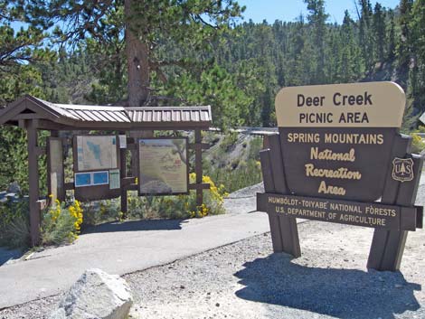 Trailhead and Trail Information sign |
Deer Creek Trailhead is located up in the Spring Mountains National Recreation Area (also known as Mt. Charleston) on Deer Creek Road between Kyle and Lee Canyons, about 1 hour northwest of Las Vegas. From town, drive north on Highway 95 to Kyle Canyon Road (Highway 157; Table 1, Site 0667). Turn left onto Kyle Canyon Road and drive west, past the Spring Mountains Visitor Center, for 17.1 miles to Deer Creek Road (Highway 158; Site 0727). Link to Trailhead Map. |
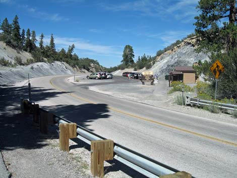
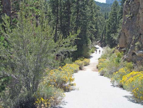 Beginning of the trail as it leaves the highway |
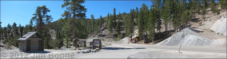
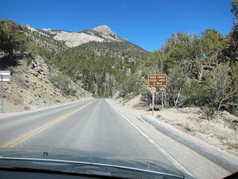
Turn right onto Deer Creek Road and drive north for 5.5 miles to a large paved parking area on the right (east) side of the road (Site 1039). Watch for the highway sign. The turn into the parking area is just around a curve, so watch for hikers crossing the road. Park here; this is the trailhead. The trail is on the left (west) side of the road; but for drivers, it is easy to miss signs on the left because the road is curving to the right and drivers will be looking to the right. After parking, look back to see the trail signs. Deer Creek Trailhead provides access the Deer Creek Picnic Area and trails ranging farther up Deer Creek, including a direct route to the east face of Mummy Mountain. |
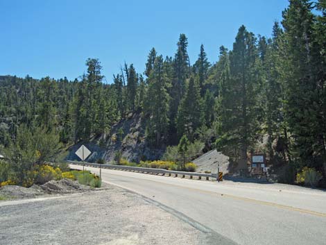
 Deer Creek Road approaching Deer Creek Trailhead |
 Deer Creek Road highway sign |
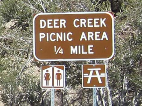
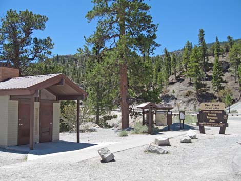
 Deer Creek Trailhead sign |
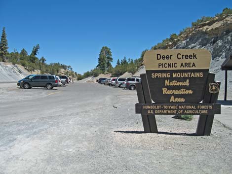
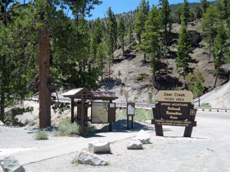
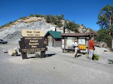 Deer Creek Trailhead sign, restroom, and information sign |
 |
 |
 Beginning of trail (view SW from parking) |
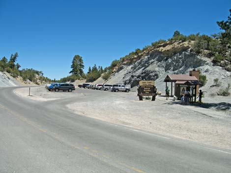 Trailhead parking (view NE from beginning of trail) |
 Trailhead parking (view NE from trail) |
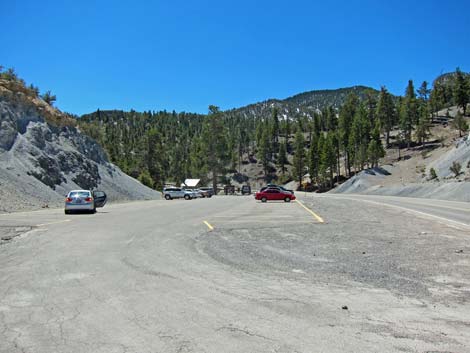 Trailhead parking (view S) |
Table 1. Highway Coordinates (NAD27; UTM Zone 11S). Download Highway GPS Waypoints (*.gpx) file.
| Site | Location | UTM Easting | UTM Northing | Latitude (N) | Longitude (W) | Elevation (ft) | Verified |
|---|---|---|---|---|---|---|---|
| 0667 | Hwy 95 at Hwy 157 | 651544 | 4021405 | 36.32758 | 115.31167 | 2,820 | Yes |
| 0727 | Kyle Cyn Rd at Deer Creek Rd | 625575 | 4013970 | 36.26431 | 115.60209 | 6,800 | Yes |
| 1039 | Deer Creek Picnic Area Parking | 623838 | 4019495 | 36.31433 | 115.62055 | 8,263 | Yes |
Happy Hiking! All distances, elevations, and other facts are approximate.
![]() ; Last updated 240329
; Last updated 240329
| Hiking Around Mt Charleston | Hiking Around Las Vegas | Glossary | Copyright, Conditions, Disclaimer | Home |