Backroads Around Las Vegas, Spring Mountains (Mt. Charleston)
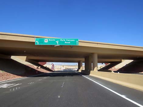
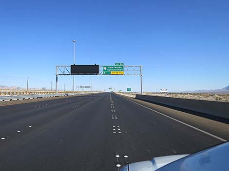 Highway 95 approaching exit to Kyle Canyon Road (view N) |
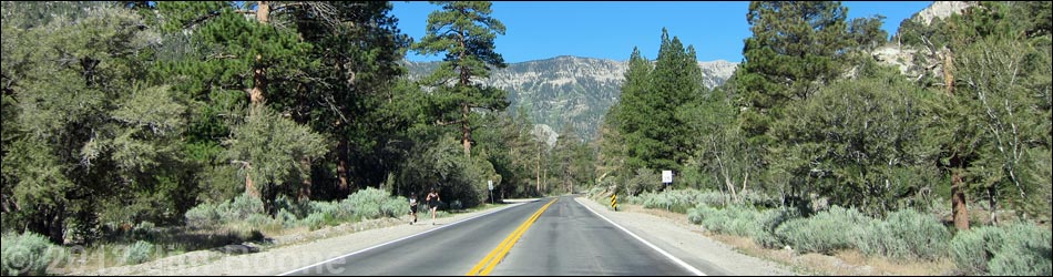
Overview Kyle Canyon Road is a maintained state highway (Hwy 157) that runs west from U.S. Highway 95 to the top of Kyle Canyon in the high mountains of the Spring Mountains National Conservation Area. The road begins low in the desert and climbs through several life zones to a cool, high-elevation forested canyon. From many areas, views extend to peaks above treeline. The road provides access to numerous outdoor recreation sites (e.g., hiking, picnicking, and camping areas), as well as two lodges, the town of Mount Charleston, and tremendous scenery all around. Link to map. |
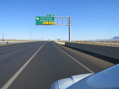 Highway 95 exit-only lane to Kyle Canyon Road (view N) |
Watch Out Other than the standard warnings about driving in the desert, ...this is a fairly safe drive. The road is a regular state highway with normal highway grades, signs, and safety features. Nonetheless, always watch for crazy drivers careening around blind corners. There is no gasoline on the mountain. While out, please respect the land and the other people out there, and try to Leave No Trace of your passage. Also, even though this is a paved road, be sure to bring what you need of the 10 Essentials. |
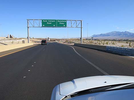
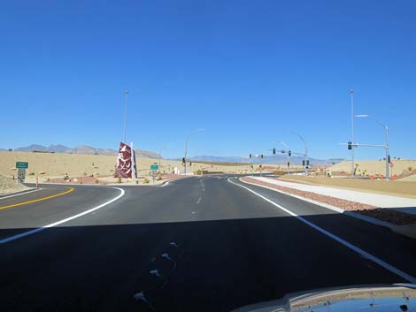
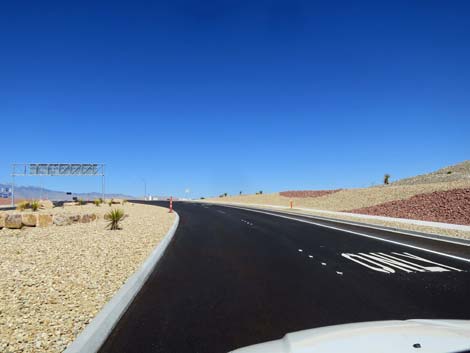
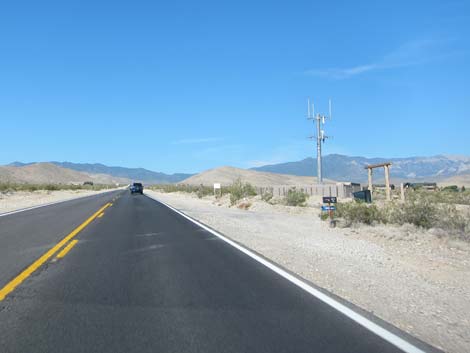
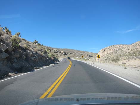
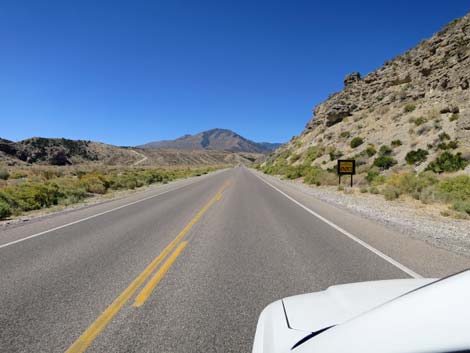
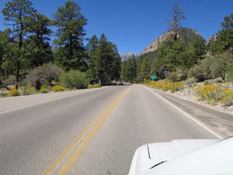
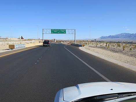 From Highway 95, two exit lanes (view N) |
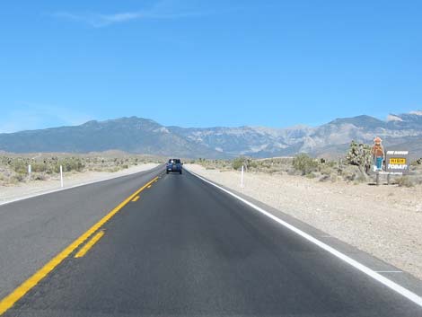
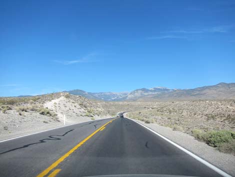
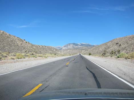
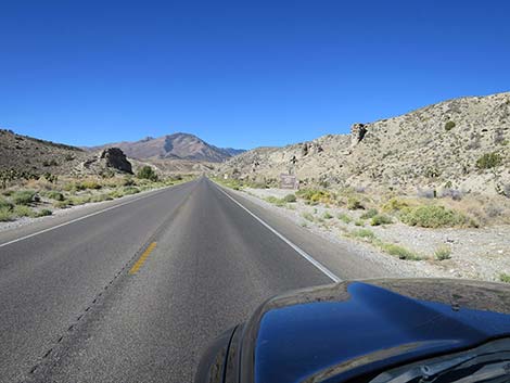
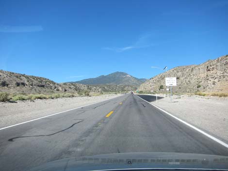
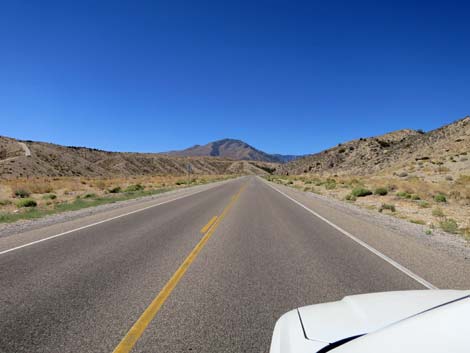
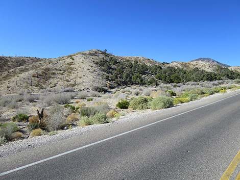
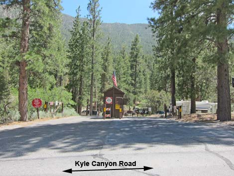
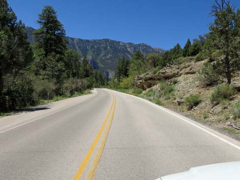
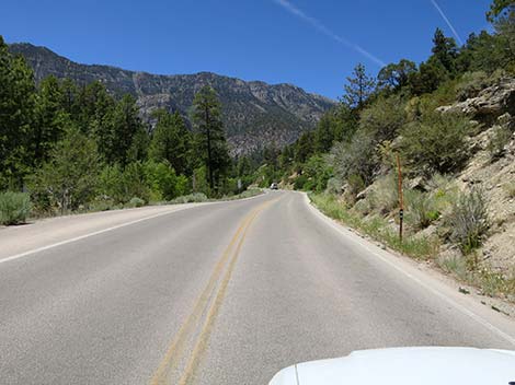
Getting to the Roadhead This road is located off Highway 95 (the highway to Reno) about 20 minutes northwest of Las Vegas. From town, drive north on Highway 95. Just past the outskirts of town, arrive at Kyle Canyon Road (Highway 157; Table 1, Site 0667). Turn left onto Kyle Canyon Road and drive west into Kyle Canyon and the Spring Mountains National Conservation Area. The Road While this road might be just a way to get somewhere, it is better thought of as a scenic tour through the landforms and habitat types of southern Nevada. The road starts in the seemingly flat and barren desert, but is Mojave Desert Scrub dominated by Creosote Bush , Mojave Yucca, and few other shrubs. During summer, this area is so hot and dry that few plants and animals survive here. |
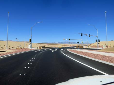
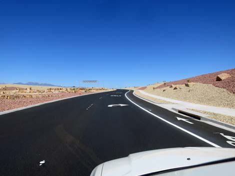
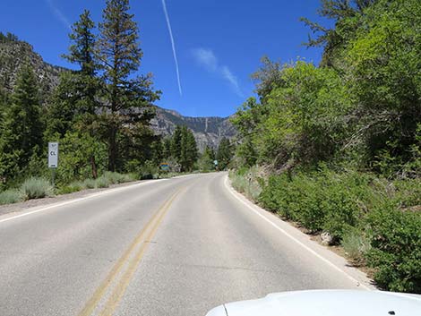
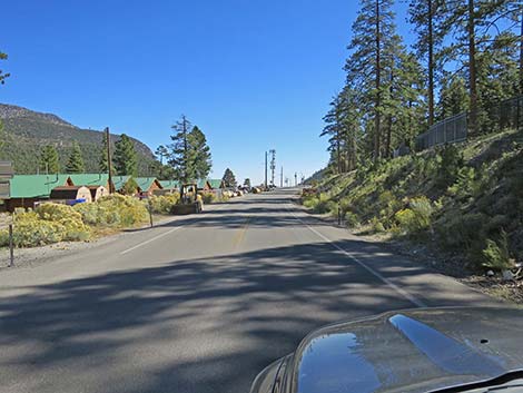
 Two lanes split to three, both left lanes to Mt. Charleston (view N) |
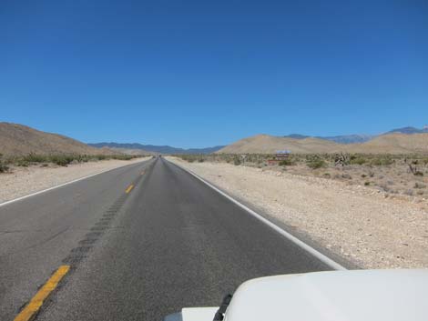
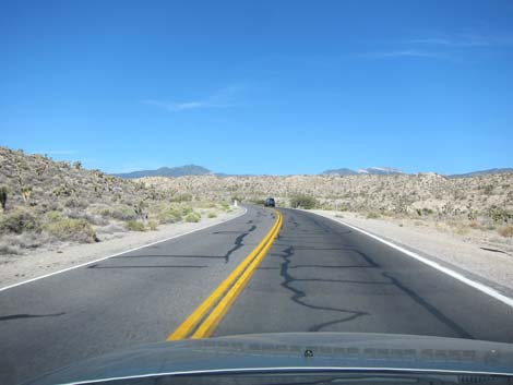
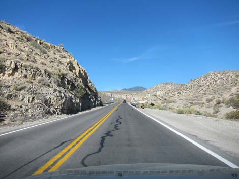
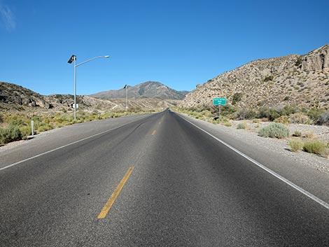
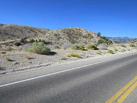
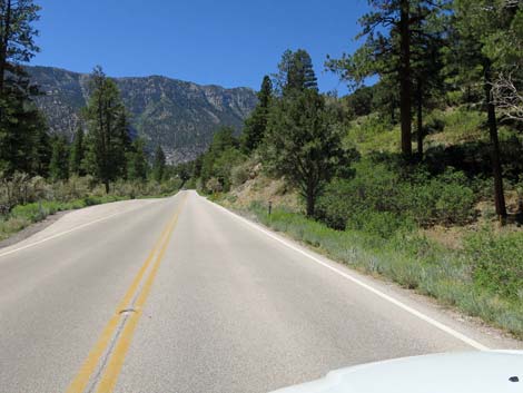
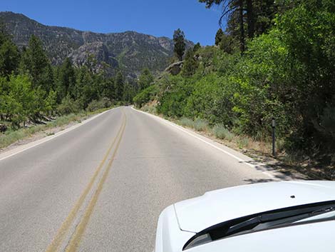
As the road climbs towards the distant peaks, the road gains enough elevation to moderate the temperatures and receive a bit more precipitation. Here, the Mojave Desert Scrub becomes "lush," and a variety of shrubs (e.g., Apache Plume, Stansbury Cliffrose, Desert Almond) join the mix. The road climbs past the last of the houses and drops into Kyle Wash. Here the road winds back and forth following the canyon. Initially, the road cuts through a narrow canyon where Paleozoic limestones are exposed in the road cuts. Limestones are laid down on the bottom of an ocean, and each layer represents different water conditions: colder, warmer, deeper, shallower. These are stone pages from the book of the history of the earth. The canyon widens a bit, and the highway passes the turn off for Grapevine Spring Road (9.9 miles out, Site 1292). This rough dirt road leads northwest into the rugged foothills of the Spring Mountains. |
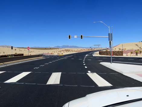
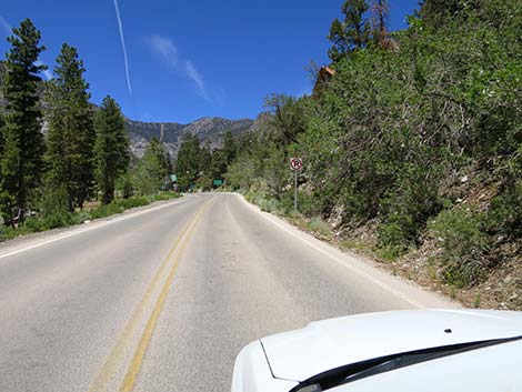
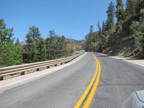
 Two lanes left to Mt. Charleston (view N) |
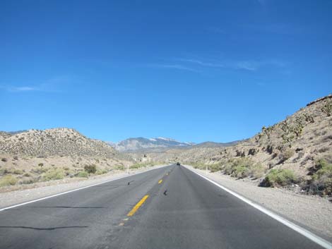
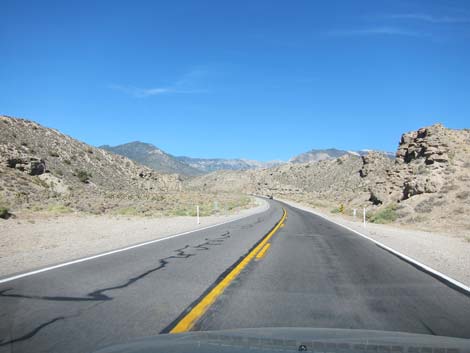
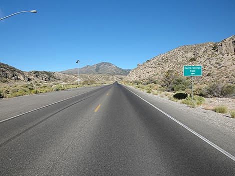
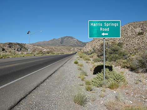
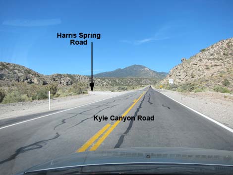
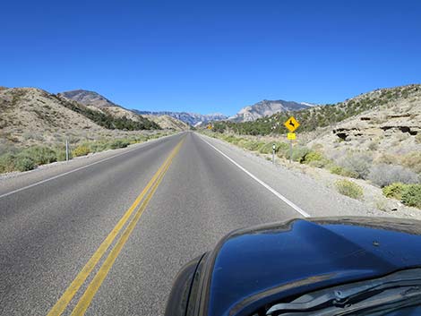
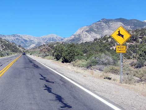
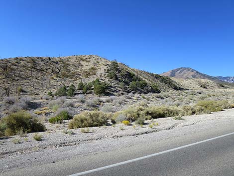
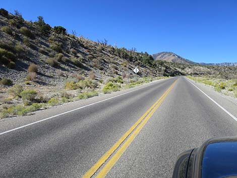
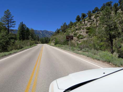
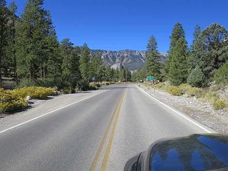
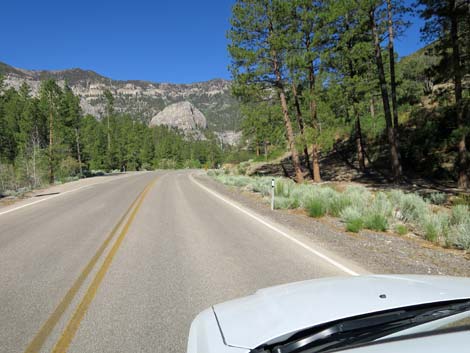
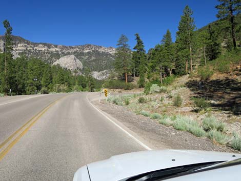
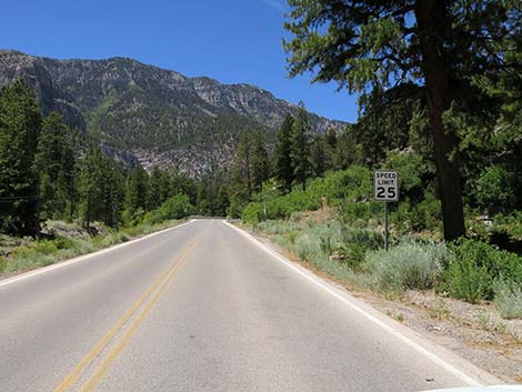
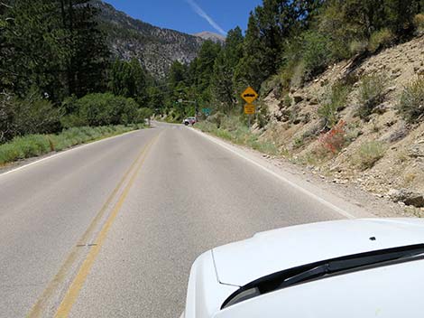
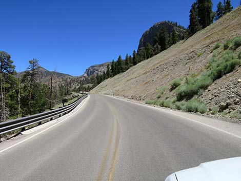
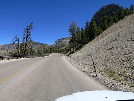
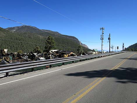
Beyond Grapevine Spring Road, the canyon walls mostly are conglomerate rock that eroded from the mountain peaks during periods of wetter conditions and glaciation, washed down the hillsides, and were deposited in this area. Remaining in place for thousands of years, the eroded materials became cemented together. Under drier condition, Kyle Creek slowly cut through the conglomerate revealing the features seen today. Watch for erosion holes in the cliffs and hoodoos along the road where the wash bottom is full of shrubs. Shortly, the highway passes Harris Spring Road (12.6 miles out, Site 0764), on the left. Harris Spring Road runs out to the Griffith Peak Trailhead. This area was touched by the Carpenter 1 Fire. As the road climbs higher, it enters the Pinyon-Juniper Woodland zone. Here, short trees (single-leaf pinyon pine and Utah juniper) begin to appear growing among dense thickets of mountain mahogany and other shrubs. Watch for Panamint Chipmunks and Chukar along the highway. |
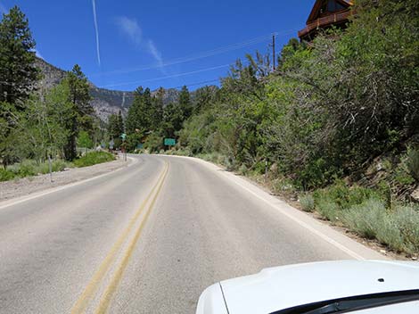
 Two lanes left at stop light (view N) |
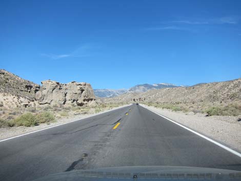
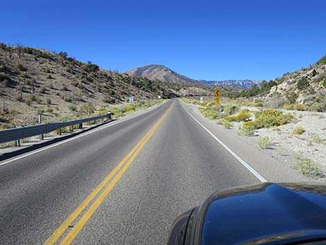
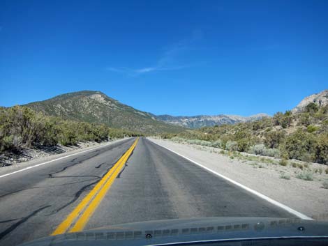
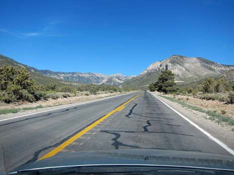
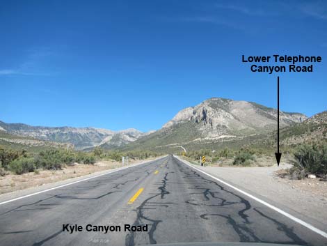
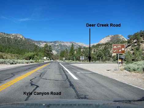
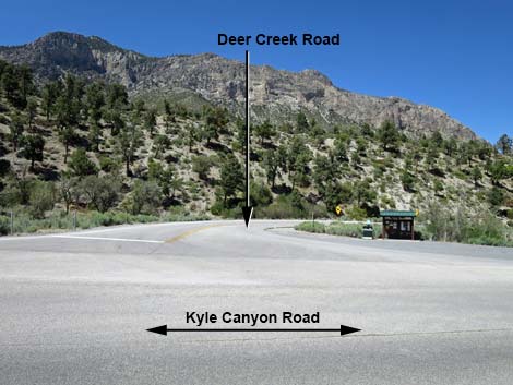
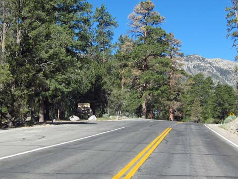
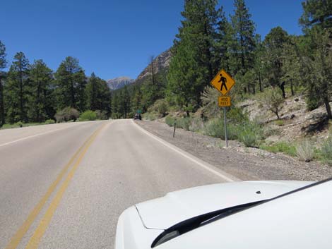
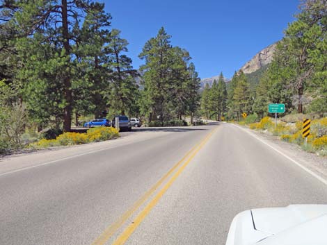
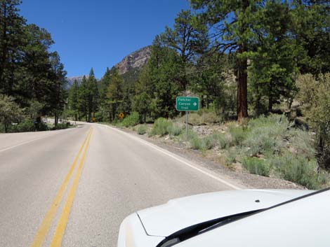
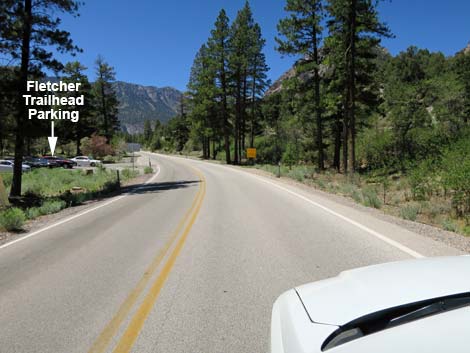
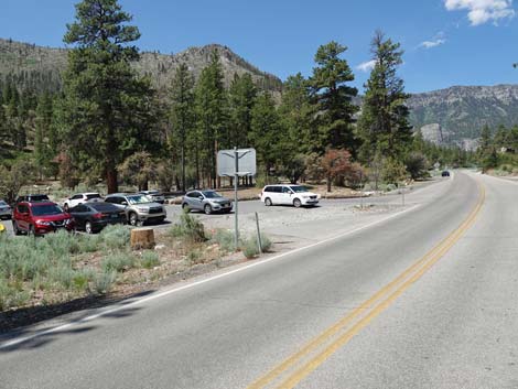
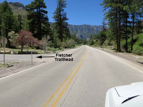
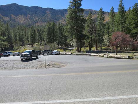
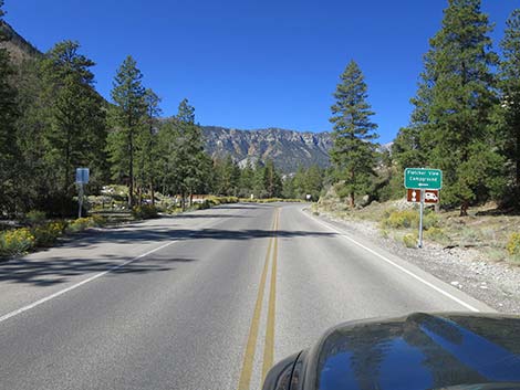
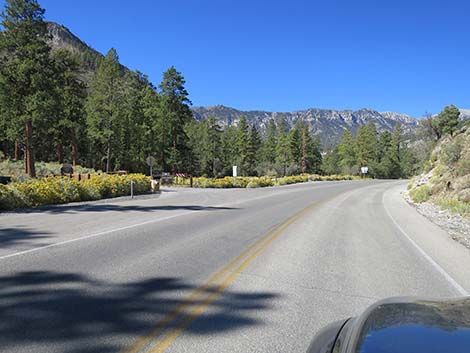
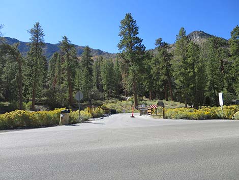
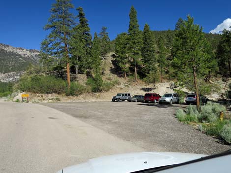
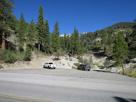
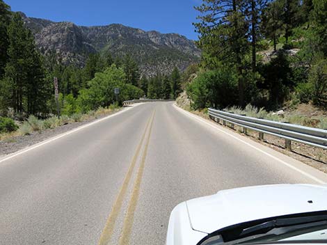
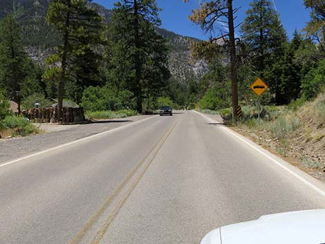
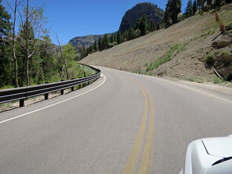
The highway climbs rather steeply and winds a bit, but eventually the grade eases and the road straightens. In this area, watch for Telephone Canyon Road (15.5 miles out, Site 1279), on the right. This road leads a short distance to Telephone Canyon Trailhead. Shortly ahead, the highway is interrupted by a round-about at the entrance to the Spring Mountains Visitor Center (16.3 miles out, Site 1610), then passes The Retreat on Charleston Peak (16.9 miles out, Site 1291). About the time Kyle Canyon Road reaches Deer Creek Road (17.5 miles out, Site 0727), which runs north across the face of the mountains to Lee Canyon, tall ponderosa pine appear and the road enters true woods. The road then passes Kyle Canyon Campground (17.9 miles out, Site 1288) on the left. Shortly, the highway passes Fletcher Canyon Trailhead (18.1 miles out, Site 1003). This trailhead provides access to some nice hiking and bird watching opportunities. The overflow parking is first, on the left, and the main parking (with a public toilet) is second, also on the left. |
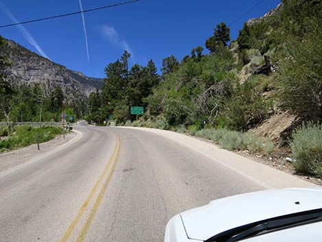
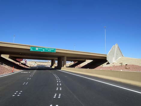 Road curves left under Highway 95 (view NW) |
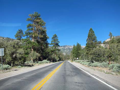
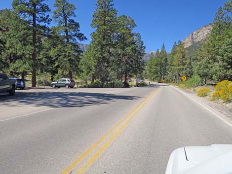
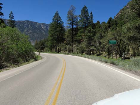
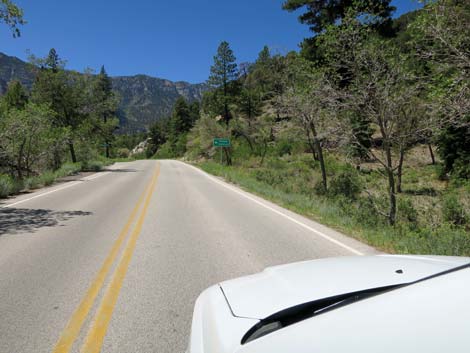
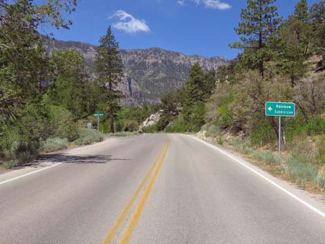
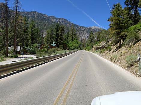
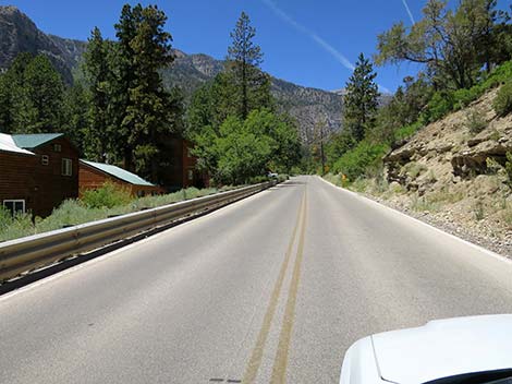
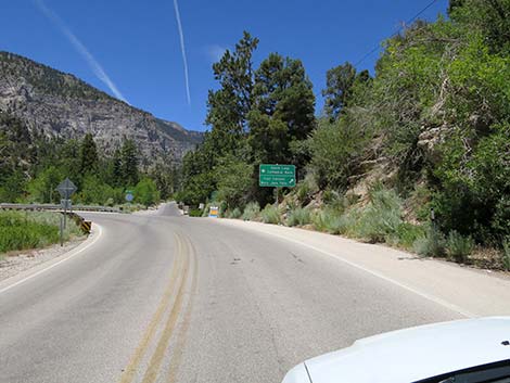
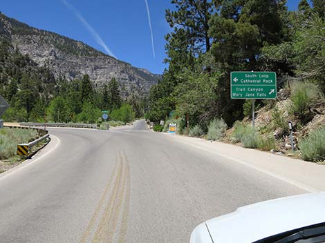
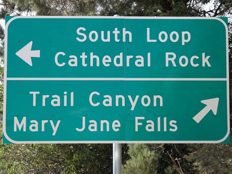
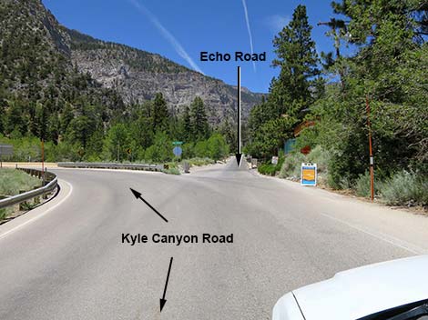
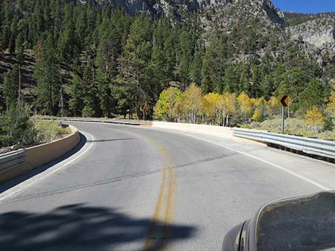
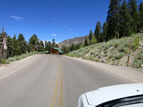
Continuing, the road passes Fletcher View Campground (18.3 miles out, Site 0966), on the left. Up the canyon, the conditions of life become cooler and more moist, and white fir begins to appear. This is a tree species more typical of higher elevations, but it finds refuge in the cool shadows of Kyle Canyon. The road passes Mount Charleston town (Rainbow Subdivision), with various neighborhoods, an elementary school, a public library, and the fire station (ranging from 19.0 to 20.0 miles out). Beyond the fire station, the paved Echo Road forks to the right (20.4 miles out, Site 0733). Echo Road leads to the Echo Trailhead, Mary Jane Fall Trailhead, Trail Canyon Trailhead, and another neighborhood. Staying to the left on the main road at the fork, the road crosses Kyle Wash and does a hairpin turn to climb onto the south side of the canyon. |
 Two lanes right to Mt. Charleston (view W) |
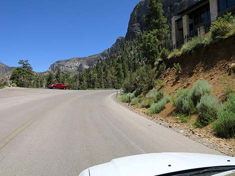
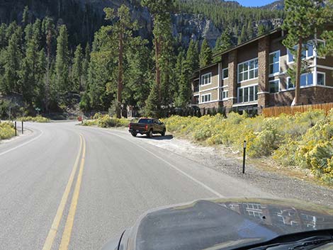
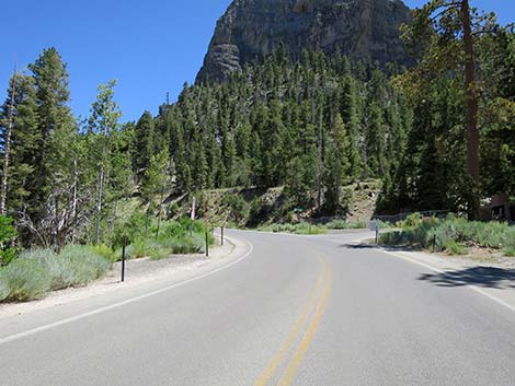
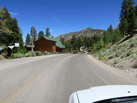
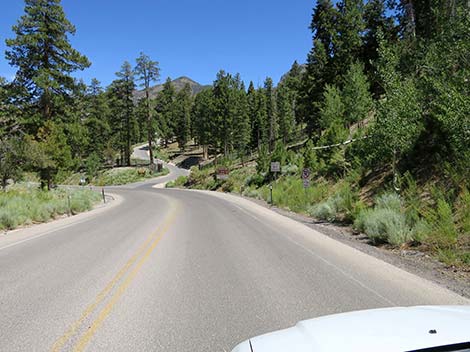
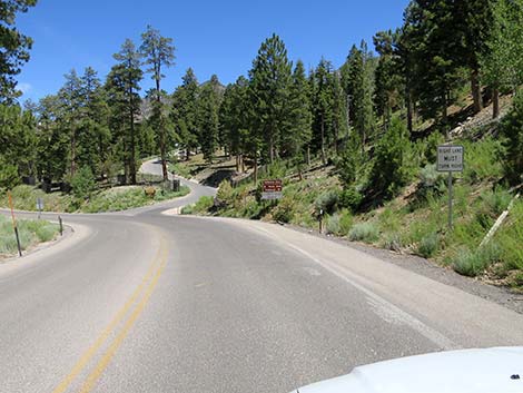
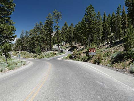
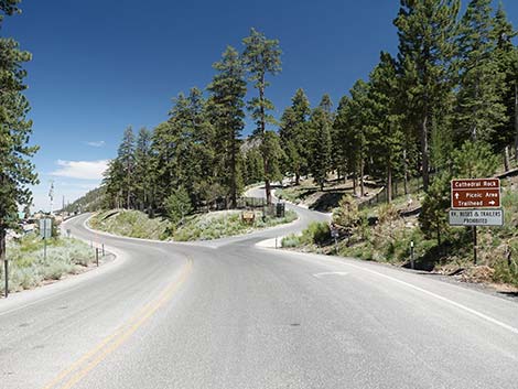
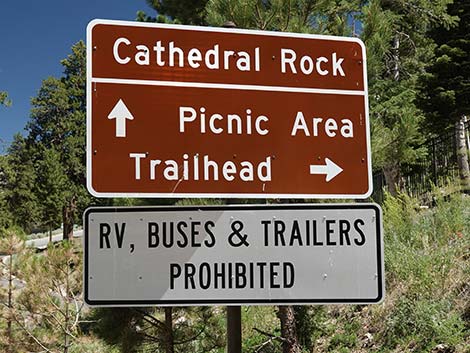
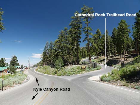
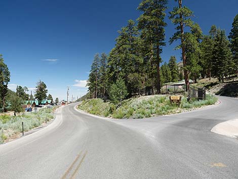
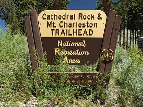
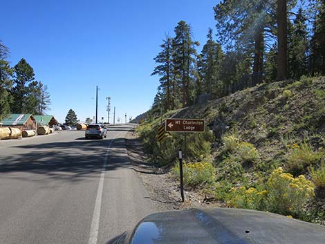
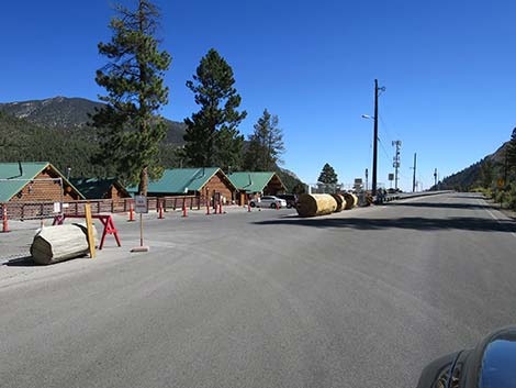
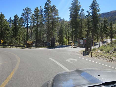
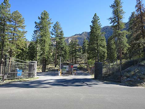
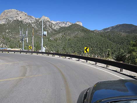
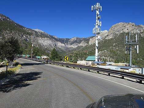
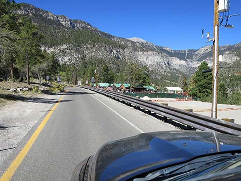
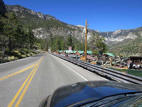
The road climbs steeply (watch for rockfall on the roadway) and enters the Mount Charleston Lodge area (20.9 miles out) with cabins on the left. A bit farther up, the road passes the turnoff (21.0 miles out, Site 1289) to Cathedral Rock Trailhead, on the right. This is the trailhead for several hikes including Cathedral Rock, Griffith Peak, and Mt. Charleston via the South Loop Trail. Shortly, the road passes a left turn into the main Mount Charleston Lodge area (21.1 miles out, Site 1290). This leads to the restaurant and front desk of the lodge. Continuing, the highway passes the entrance to Cathedral Rock Picnic Area (21.2 miles out) and loops around at the end of the road to head back towards the Mount Charleston Lodge and back down Kyle Canyon. For photos of the return down Kyle Canyon Road, see Kyle Canyon Road - Select Downhill Photos. |
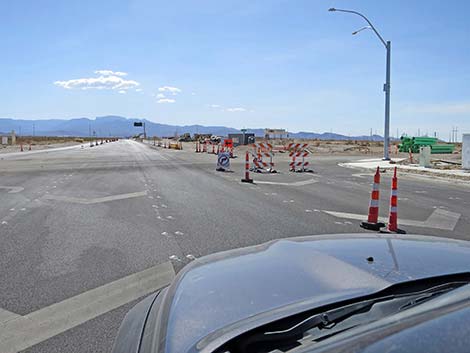
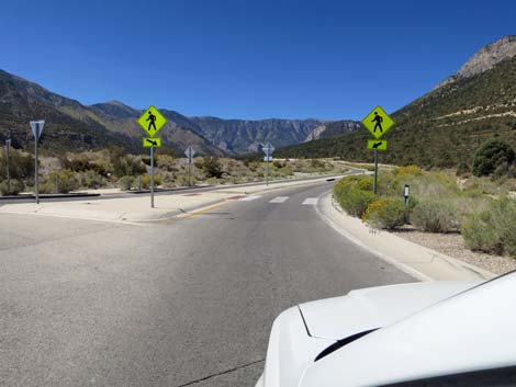
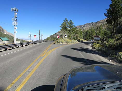
 Approaching a crazy intersection (view W) |
 Two lanes right to Mt. Charleston (view W) |
 Stoplight at the crazy intersection (view W) |
 Of the two right lanes, right lane becomes exit only (view NW) |
 Merge left into one lane to Mt. Charleston (view NW) |
 Hard to tell where to go: hope for the best - go straight (view NW) |
 The middle lane seems to be the lane to Mt. Charleston (view W) |
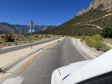
 Approaching Frontage Road (view W) |
 Kyle Canyon Road "park and ride" is now blocked off (view W) |
 Kyle Canyon Road "park and ride" is probably gone forever |
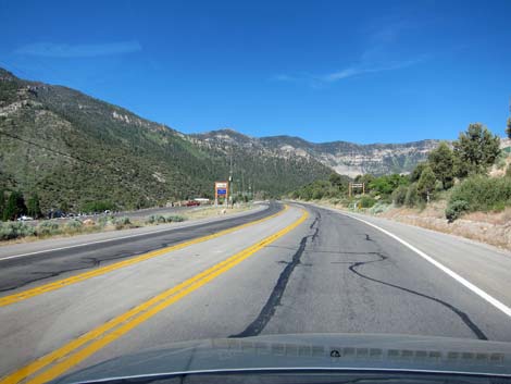
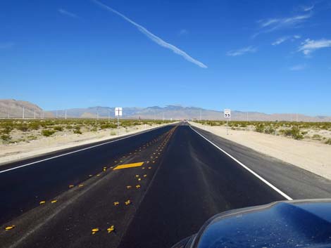 Sign: speed limit 55 mph |
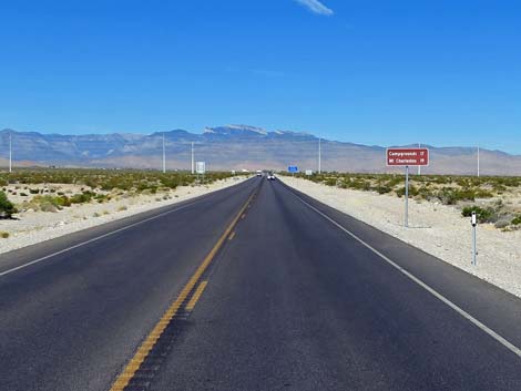 Sign: Campgrounds 17 miles; Mt Charleston Village 19 miles |
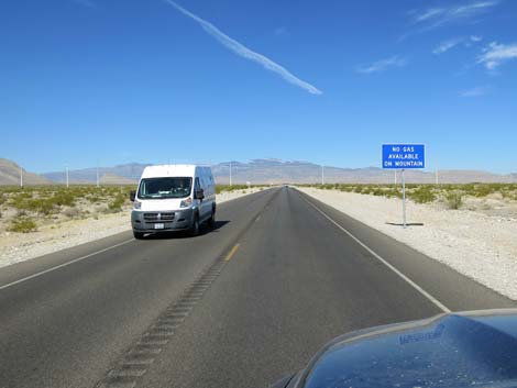 Sign: No gas available on mountain (view W) |
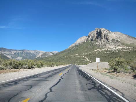
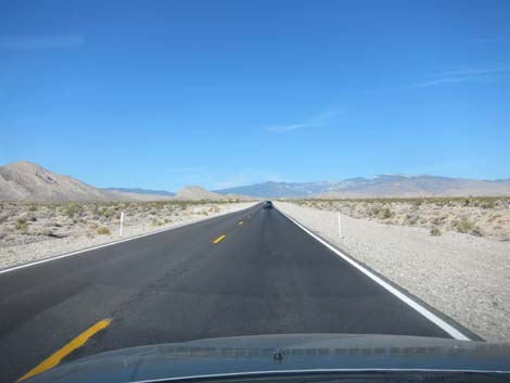 Kyle Canyon Rd; low-elevation Mojave Desert Scrub |
 Kyle Canyon Road in the low desert Mojave Desert Scrub |
 Kyle Canyon Road in the low desert Mojave Desert Scrub |
 Kyle Canyon Road, fire danger sign |
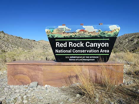
 Kyle Canyon Rd approaching Red Rock Canyon NCA boundary sign |
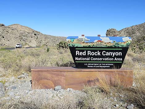
 Kyle Canyon Rd at Red Rock Canyon NCA boundary sign |
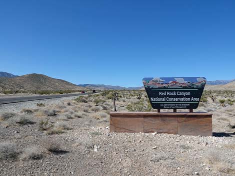 Red Rock Canyon NCA boundary sign (view W) |
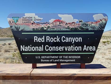 Red Rock Canyon NCA boundary sign (view W) |
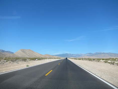
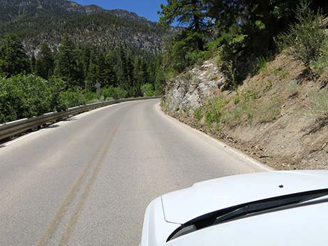
 Kyle Canyon Road, dropping into Kyle Wash (view W) |
 Kyle Canyon Road in the low desert Mojave Desert Scrub |
 Kyle Canyon Road in Kyle Wash (view W) |
 Kyle Canyon Road in Kyle Wash (view W) |
 Kyle Canyon Road in Kyle Wash (view W) |
 Kyle Canyon Road in Kyle Wash; hoodoos on left (view W) |
 Kyle Canyon Road in Kyle Wash (view W) |
 Kyle Canyon Road in Kyle Wash (view W) |
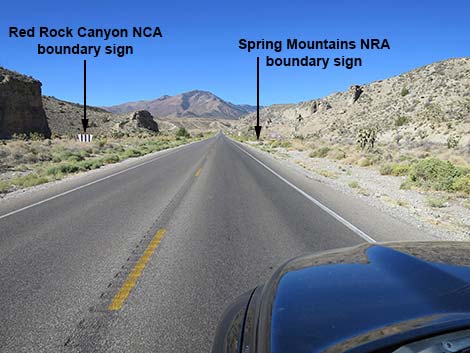 Kyle Canyon Road leaving Red Rock Canyon NCA (view W) |
 Red Rock Canyon NCA boundary sign (looking back, view W) |
 Red Rock Canyon NCA boundary sign (looking back, view W) |
 Kyle Canyon Road approaching Spring Mountains NRA boundary sign |
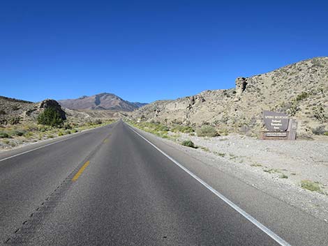 Kyle Canyon Road at Spring Mountains NRA boundary sign (view W) |
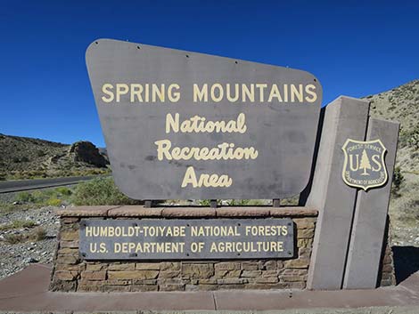 Spring Mountains NRA boundary sign (view W) |
 Kyle Canyon Rd approaching uphill chain-up area (view W) |
 Kyle Canyon Rd at downhill chain-up area (view W) |
 Kyle Canyon Rd approaching Harris Springs Road sign (view W) |
 Kyle Canyon Rd at Harris Springs Road sign (view W) |
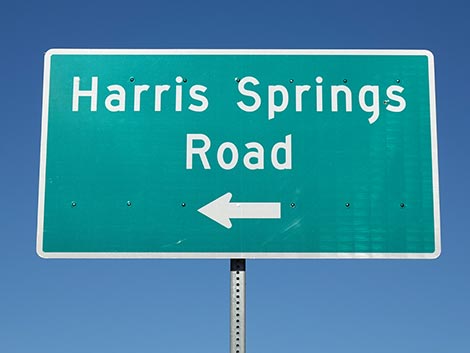 Sign: Harris Springs Road (view W) |
 Kyle Canyon Rd approaching Harris Springs Road (at left) |
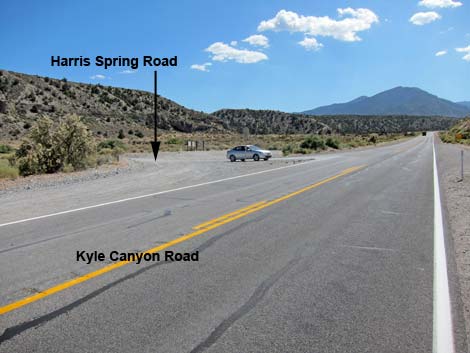 Kyle Canyon Rd approaching Harris Springs Road (view W) |
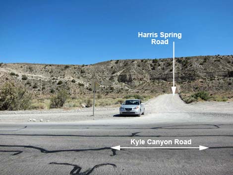 Kyle Canyon Road at Harris Springs Road (view S) |
 Past Harris Springs Road, road enters Carpenter One Fire zone |
 Trees on both sides of the road burned in Carpenter One Fire |
 Sign: watch for wildlife on the road (view W) |
 Sign: watch for wildlife on the road (view W) |
 Carpenter One Fire results are patchy on the edge (view SW) |
 Carpenter One Fire results: most trees died here (view SW) |
 Pinyon-Juniper Woodland after Carpenter One Fire (view W) |
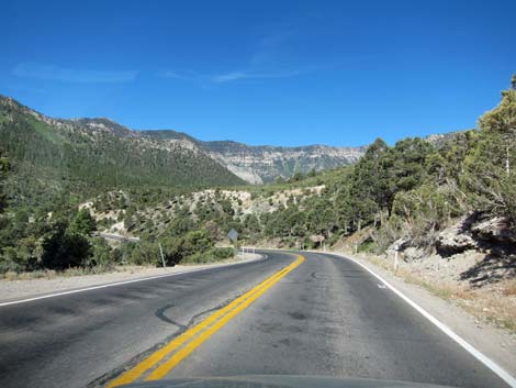
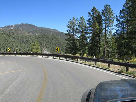
 Sign: winding curves ahead (view W) |
 Edge of the Carpenter One Fire, at least along the road (view W) |
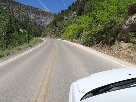
 Kyle Canyon Road beyond the Carpenter One Fire (view W) |
 Kyle Canyon Road; getting to the tall-tree zone |
 Kyle Canyon Road at Lower Telephone Canyon Trailhead (arrow) |
 Kyle Canyon Road (Fletcher Peak on the left) |
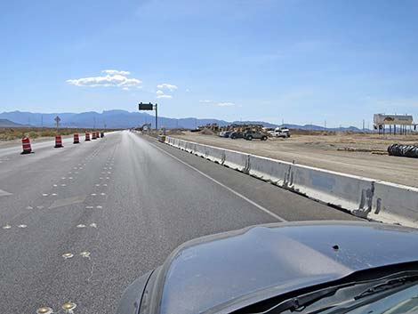
 Kyle Canyon Road begins divided highway (view W) |
 Kyle Canyon Road with wide median strip (view W) |
 Kyle Canyon Road back to narrow median strip (view W) |
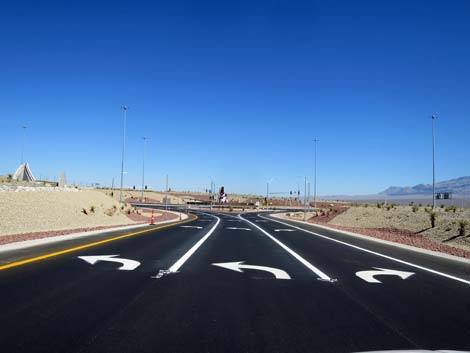
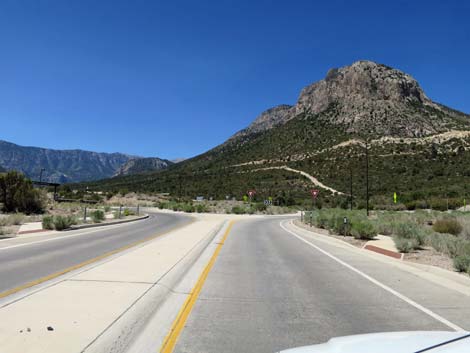
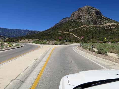 Kyle Canyon Road approaching round-about (view W) |
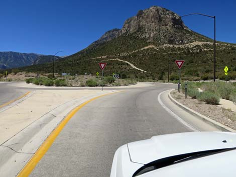 Kyle Canyon Road at round-about (view W) |
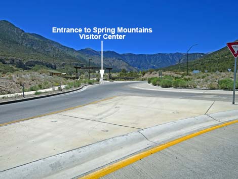 Entering round-about, visitor center is 3/4-ths around (view SW) |
 Kyle Canyon Road entering round-about (view NW) |
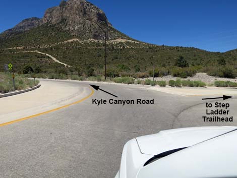
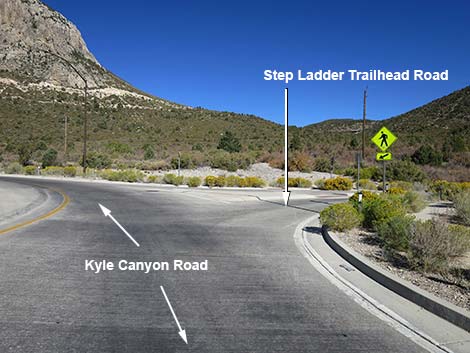 Kyle Canyon Road at Step Ladder Trailhead Road (view NW) |
 Kyle Canyon Road in round-about (view NW) |
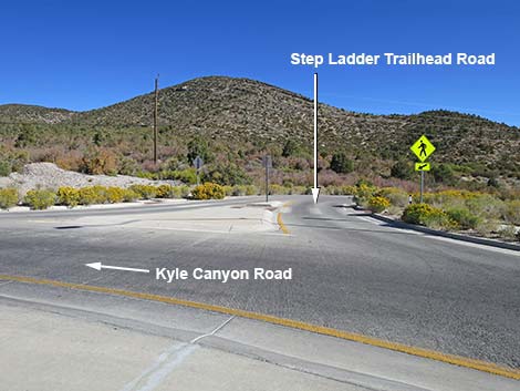 Step Ladder Trailhead Road (view N from Kyle Canyon Road) |
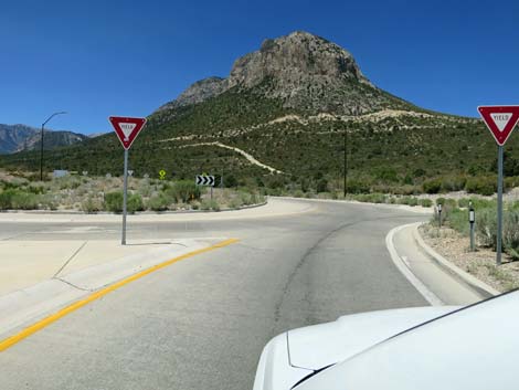
 Kyle Canyon Road stays straight through round-about (view W) |
 Kyle Canyon Road stays straight through round-about (view W) |
 Kyle Canyon Road exiting the round-about (view W) |
 Kyle Canyon Road at The Resort on Mount Charleston, on left |
 Kyle Canyon Road (view W) |
 Kyle Canyon Road approaching Deer Creek Road (view W) |
 Deer Creek Road (view N from Kyle Canyon Road) |
 Kyle Canyon Road enters the Ponderosa Pine Forest |
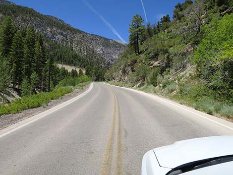
 Kyle Canyon Road (view W) |
 Kyle Canyon Road approaching Kyle Canyon Picnic Area sign (view W) |
 Kyle Canyon Road approaching Kyle Canyon Campground |
 Kyle Canyon Campground (view S from Kyle Canyon Road) |
 Sign: caution -- pedestrians on roadway (view W) |
 Kyle Canyon Road approaching Fletcher Canyon Trailhead (view W) |
 Approaching Fletcher Canyon Trailhead overflow parking (view W) |
 Kyle Canyon Road approaching Fletcher Canyon Trail sign (view W) |
 Kyle Canyon Road at Fletcher Canyon overflow parking, on left |
 Kyle Canyon Road at Fletcher Trailhead overflow parking (view SW) |
 Kyle Canyon Road approaching Fletcher Canyon Trail crosswalk |
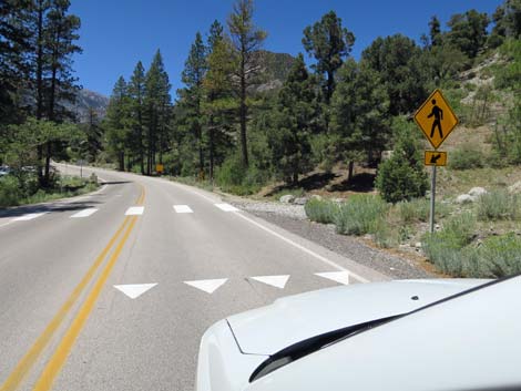 Kyle Canyon Rd at Fletcher Canyon Trail: watch for hikers crossing! |
 Kyle Canyon Rd approaching main Fletcher Canyon Trailhead parking |
 Kyle Canyon Rd approaching main Fletcher Canyon Trailhead parking |
 Kyle Canyon Road at main Fletcher Canyon Trail parking |
 Main Fletcher Canyon Trail parking (view S from
Kyle Canyon Road) Main Fletcher Canyon Trail parking (view S from
Kyle Canyon Road) |
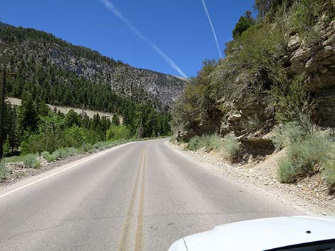
 Kyle Canyon Road (view W) |
 Kyle Canyon Road at Fletcher View Campground sign (view W) |
 Kyle Canyon Road approaching Fletcher View Campground (view W) |
 Fletcher View Campground (view S from Kyle Canyon Road) |
 Kyle Canyon Road at 7,000-foot elevation sign |
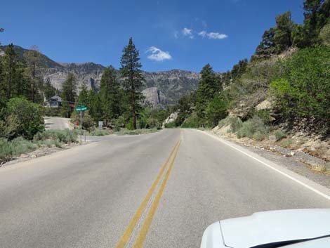
 Kyle Canyon Road (view W) |
 |
 |
 Kyle Canyon Road approaching Rainbow Subdivision (private property) |
 Kyle Canyon Road approaching Rainbow Canyon Blvd (at left) |
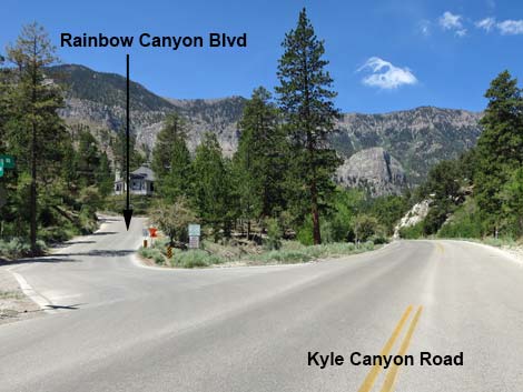 Kyle Canyon Road at Rainbow Canyon Blvd (at left) |
 Kyle Canyon Road approaching Ponderosa Pine Drive (at left) |
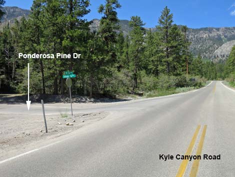 Kyle Canyon Road at Ponderosa Pine Drive (at left) |
 Kyle Canyon Road with good view of Cathedral Rock |
 Kyle Canyon Road approaching Stanley B Springs Trailhead |
 Kyle Canyon Road approaching Stanley B Springs Trailhead |
 Kyle Canyon Road at Stanley B Springs Trailhead |
 Stanley B Springs Trailhead (view N from Kyle Canyon Road) |
 |
 |
 Speed drop from 35 to 25 mph |
 Kyle Canyon Road |
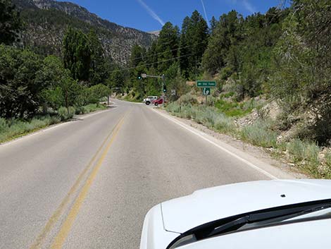
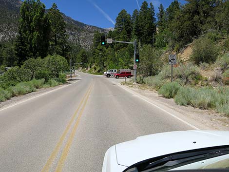
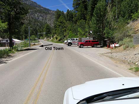
 Kyle Canyon Road approaching Old Town |
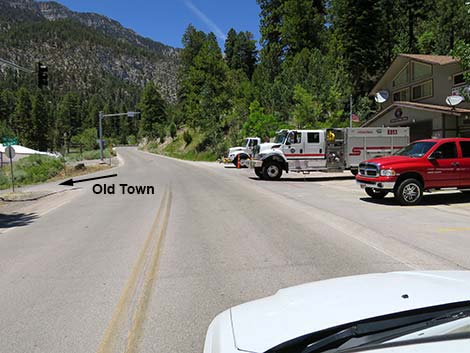
 Kyle Canyon Road at Old Town (elementary school at left) |
 Watch for driveways entering onto the highway |
 Watch for a fire station |
 Approaching main turn into Old Town (note public library sign) |
 Kyle Canyon Road approaching Old Town fire station |
 Kyle Canyon Road approaching main turn into Old Town |
 Kyle Canyon Road at Old Town fire station |
 Kyle Canyon Road continues past Old Town (view NW) |
 Kyle Canyon Road |
 |
 |
 |
 |
 |
 |
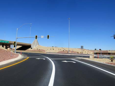
 Kyle Canyon Road approaching Echo Road (view NW) |
 Kyle Canyon Road approaching Echo Road (view NW) |
 Directional sign at intersection (view NW) |
 Kyle Canyon Road at Echo Road (view NW) |
 Kyle Canyon Road crosses bridge over Kyle Wash (view W) |
 Kyle Canyon Road leaving the hairpin turn (view S) |
 Kyle Canyon Road climbs after the hairpin turn (view SE) |
 Kyle Canyon Road (view SE) |
 Kyle Canyon Road |
 Kyle Canyon Road approaching Cathedral Rock Trail overflow parking |
 Kyle Canyon Road approaching a public pullout, on the left (view SE) |
 Kyle Canyon Road passing condo units (view S) |
 |
 |
 Approaching the Mt. Charleston Lodge area (view E) |
 Entering the Mt. Charleston Lodge area (view E) |
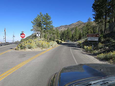
 Kyle Canyon Road approaching Cathedral Rock Trailhead Road |
 Kyle Canyon Road approaching Cathedral Rock Trailhead Road |
 Kyle Canyon Rd approaching Cathedral Rock Trailhead Rd (view E) |
 Kyle Canyon Road at Cathedral Rock Trailhead road sign (view E) |
 Cathedral Rock Trailhead sign (view SE from Kyle Canyon Road) |
 Kyle Canyon Rd approaching Cathedral Rock Trailhead Rd (view E) |
 Kyle Canyon Road at Cathedral Rock Trailhead Road |
 Cathedral Rock Trailhead sign (view SE) |
 Kyle Canyon Rd approaching Mt. Charleston Lodge (on left) |
 Kyle Canyon Rd at Mt. Charleston Lodge sign (view E) |
 Kyle Canyon Rd at Mt. Charleston Lodge entrance (view E) |
 Mt. Charleston Lodge restaurant burned in 2021 (view NE) |
 Mt. Charleston Lodge restaurant burned in 2021 (view N) |
 Kyle Canyon Road forks onto one-way turn-around loop (view E) |
 Kyle Canyon Road stays right into turn-around loop (view E) |
 Kyle Canyon Road approaching Cathedral Rock Picnic Area (view E) |
 Kyle Canyon Road at Cathedral Rock Picnic Area (view SE) |
 Cathedral Rock Picnic Area (view S from Kyle Canyon Road) |
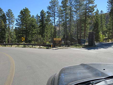 Kyle Canyon Road at Cathedral Rock Picnic Area sign (view SE) |
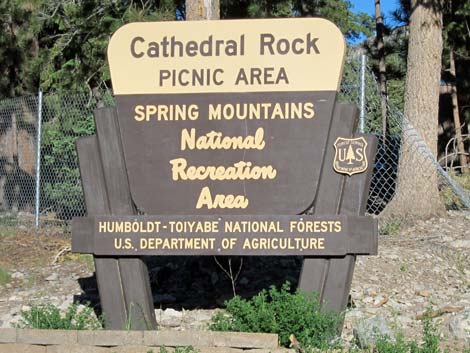 Cathedral Rock Picnic Area sign (view SE) |
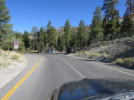
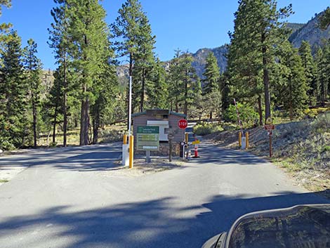 Entrance to Cathedral Rock Picnic Area (view S) |
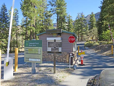 Fee booth at entrance to Cathedral Rock Picnic Area (view S) |
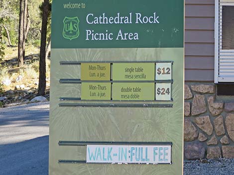 Fee schedule: poor people not wanted here (view S) |
 Kyle Canyon Road loops back to the left (view NE) |
 Kyle Canyon Road loops back to the left (view N) |
 Kyle Canyon Road loops back past cell phone tower (view NW) |
 Kyle Canyon Road loops back towards the Lodge (view W) |
 Kyle Canyon Road returns to two-way traffic (view W) |
Table 1. Highway Coordinates based on GPS Data (NAD27; UTM Zone 11S). Download Highway GPS Waypoints (gpx) file.
| Site | Location | UTM Easting | UTM Northing | Latitude (N) | Longitude (W) | Elevation (ft) |
|---|---|---|---|---|---|---|
| 0667 | Hwy 95 at Kyle Canyon Rd | 651544 | 4021405 | 36.32758 | 115.31167 | 2,820 |
| 0727 | Kyle Cyn Rd at Deer Creek Rd | 625575 | 4013970 | 36.26431 | 115.60209 | 6,800 |
| 0733 | Kyle Canyon Rd at Echo Rd | 621129 | 4013659 | 36.26208 | 115.65163 | 7,697 |
| 0764 | Kyle Canyon Rd at Harris Spr Rd | 632942 | 4015180 | 36.27423 | 115.51990 | 5,400 |
| 0966 | Fletcher View Campground | 624388 | 4013767 | 36.26263 | 115.61534 | 6,940 |
| 1003 | Fletcher Canyon Trailhead Parking | 624784 | 4013859 | 36.26341 | 115.61091 | 6,945 |
| 1279 | Kyle Cyn Rd at Telephone Cyn Rd | 628562 | 4014691 | 36.27042 | 115.56873 | 6,381 |
| 1285 | Stanley B Spring Trailhead Parking | 622807 | 4013427 | 36.25977 | 115.63298 | 7,284 |
| 1288 | Kyle Cyn Rd at Kyle Canyon Campground | 624982 | 4013848 | 36.26329 | 115.60871 | 6,969 |
| 1289 | Kyle Canyon Rd at Cathedral Rock Picnic Area | 621582 | 4013115 | 36.25711 | 115.64667 | 7,687 |
| 1290 | Kyle Canyon Rd at Mt Charleston Lodge | 621730 | 4013156 | 36.25746 | 115.64501 | 7,625 |
| 1291 | Kyle Canyon Rd at The Retreat on Charleston | 626314 | 4014558 | 36.26952 | 115.59377 | 6,782 |
| 1292 | Kyle Canyon Rd at Grapevine Spring Rd | 637224 | 4015493 | 36.27645 | 115.47219 | 4,833 |
| 1610 | Kyle Canyon Road at Visitor Center Road | 627171 | 4014889 | 36.27238 | 115.58419 | 6,601 |
Happy Hiking! All distances, elevations, and other facts are approximate.
![]() ; Last updated 240329
; Last updated 240329
| Backroads | Hiking Around Las Vegas | Glossary | Copyright, Conditions, Disclaimer | Home |