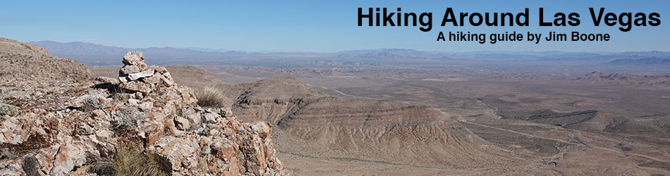
 Choose hiking areas from a Click-Map
Hiking in the desert carries special risks. Always carry water, take the 10 Essentials, choose routes of the appropriate difficulty, tell someone where you are going, tread lightly on this fragile land, and please respect the wilderness and the other people out there. If you need hiking buddies, consider hiking with these groups: The Sierra Club (Toiyabe Chapter, Southern Nevada Group), the Las Vegas Mountaineers Club, the Around the Bend Friends, and the Vegas Hikers Meet-Up Group. If you'd like a day-trip from the Las Vegas Strip, consider contacting Las Vegas Hiking Adventures and participating in one of their trips to Red Rock Canyon or Valley of Fire State Park. For hiking in Gold Butte, check the Friends of Gold Butte event page. Best Day Hikes Around Las Vegas; Mountains and Ranges seen from Las Vegas. |
Support this website! |
 |
Wilderness Areas Around Las Vegas The Clark County Conservation of Public Land and Natural Resources Act of 2002 (Public Law 107-282) established 17 new wilderness areas and expanded 1 existing wilderness area around Las Vegas. These lands offer solitude, grand vistas, and remarkable hiking experiences; plus they protect the land, plants, and animals from the encroachment of civilization. Arrow Canyon, Black Canyon, Bridge Canyon, Death Valley, El Dorado, Ireteba Peaks, Jimbilnan, Jumbo Springs, La Madre, Lime Canyon, Mt. Charleston, Muddy Mountains, Nellis Wash, North McCullough, Pinto Valley, Rainbow Mountain, South McCullough, Spirit Mountain, Wee Thump Joshua Tree |
 |
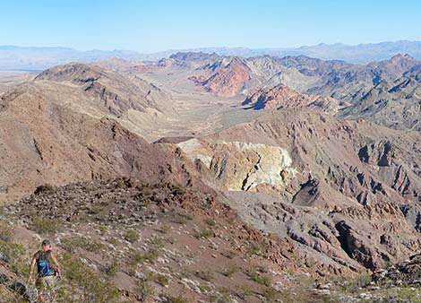
Avi Kwa Ame, which is Paiute and translates to Spirit Mountain, is a cultural landscape that includes several areas important to the cultural history and spirituality of native people still living in the region. While Spirit Mountain, proper, is not included in the national monument, the eastern foothills of the Newberry Mountains (where Spirit Mountain is the highest peak), the Highland Range, and much of the South McCullough Range is included in the monument. In addition, the monument includes two wilderness areas (Wee Thump and South McCullough) and two large valleys (Paiute and much of Eldorado). This land, essentially all of the southern tip of Nevada, provides vast areas for conservation and recreation, including miles and miles of untrammeled lands just waiting for hikers to discover what's out there. |
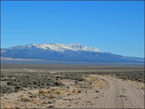 |
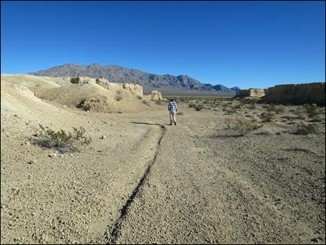
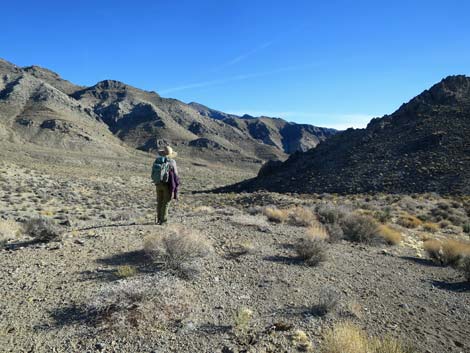
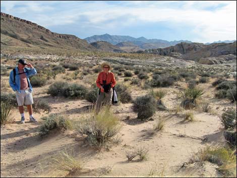
Basin and Range National Monument Basin and Range National Monument is a vast area (704,000 acres) of nearly undisturbed federal land in Lincoln and Nye counties that includes grand scenery, ecological value, many cultural and historic sites, and an enormous earth art project called City. Basin and Range stretches some 70 miles north-south and 45 miles east-west, includes six mountain ranges with peaks to almost 9,000 feet and numerous inter-mountain valleys (basins), and it connects with four Wilderness Areas. Driving from south to north requires traversing about 90 miles of dirt roads. There are no developed recreational opportunities, but people can visit petroglyph sites, camp, hike, ride horses, tour the dirt roads on bikes and off-road vehicles, stargaze, watch birds, hunt, and just spend time in quiet solitude. |
 |
Tule Springs Fossil Beds National Monument Our newest National Monument does not, as of yet, have any designated trails or other amenities. However, the area is open to the public and a plethora of old dirt roads provide miles of hiking opportunities among broad washes and yellow mud ridges. The area was designated, in large part, to protect Ice Age fossils such as Mammoths and Camels, so the area is closed to collecting. Look for and enjoy the fossils, but please don't touch. |
 |
Red Rock Canyon National Conservation Area Hike up, over, around, and among towering red and white sandstone cliffs. Taller mountains, limestone with fossils, and an amazing geologic story add interest to hiking in this popular area. |
 |
Lake Mead National Recreation Area Hike high in the mountains, down narrow canyons, along creeks with flowing water, down to the lake, through old railroad tunnels, or soak in the hot springs. This wild desert park has it all. |
 |
When the desert gets too hot, head for the cool of the mountains and the mixed pine-fir forests. Hike to waterfalls, 12,000-foot peaks, and ancient Bristlecone forests. |
 |
Desert National Wildlife Range Hike desert flats, deep canyons, barren rocky peaks, and hidden Ponderosa pine forests. This is big wild country with more solitude than you can shake a stick at. Nice fossils and car camping too. |
 |
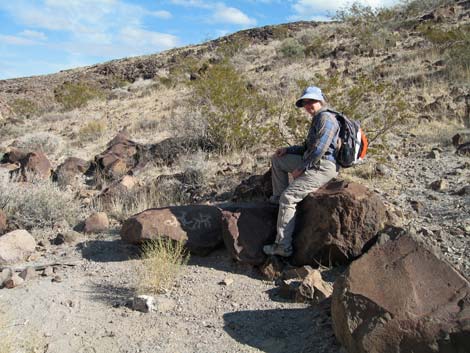
The Gold Butte Region is wild and remote country with high peaks, low valleys, and grand views. Don't go here unless you are prepared to survive on your own. |
 |
Sloan Canyon National Conservation Area Sloan Canyon NCA, essentially the hills south of Henderson, provides quick access to miles of hiking from the edge of town. The NCA includes the entire North McCullough Wilderness Area and amazing petroglyphs in Sloan Canyon, proper. |
 |
The high Mojave Desert is a great place to hike in the spring and fall. Hike all day, hike for a few minutes, or even hike underground. |
 |
A winter hiking paradise, Death Valley offers deep canyons, high peaks, stark desert terrain, and the lowest point in the Western Hemisphere. From 282 feet below sea level, you can hike across the valley and hike straight up to 11,049 feet (or at least stand at Badwater and look up at Telescope Peak). The park is crisscrossed with old dirt roads that link historic sites with geologic wonders and provide endless off-trail hiking opportunities. |
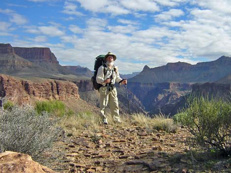 |
The Grand Canyon... the name says it all. Few places are as spectacular as the Grand Canyon. Stroll along the paved Rim Trail, backpack along the river, or do something in between, but hike the canyon. Be sure to watch for California Condors behind the Bright Angel Lodge. |
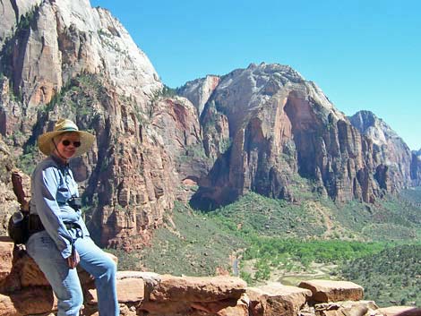 |
Red and white sandstone cliffs tower above the Virgin River. Stroll along the river, hike the narrows, or climb the mountains. |
Note: All distances, elevations, and other facts are approximate.
![]() ; Last updated 240323
; Last updated 240323
| Birding Around Las Vegas | Guide Service | Glossary | Copyright, Conditions, Disclaimer | Home |