Birding Around Las Vegas, Mount Charleston Area
 Signs by restrooms at parking area |
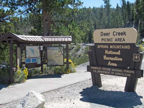
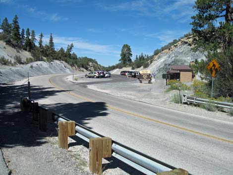
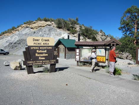
Overview Deer Creek Picnic Area lies in a deep, narrow canyon in the Pine-Fir Forest with an ephemeral pond and a small, perennial creek. Because of the water, birds from all over the area come to drink and bathe, making this is a good place to bird in an arid western forest. Birding is more difficult here on noisy weekend afternoons with families are using the picnic area and kids are playing in the stream. There is no parking in the picnic area; rather, parking is in a big parking area along the highway (Deer Creek Road) 200-yards north and across the road from the picnic area. For a description of this area as an accessible trail, see Deer Creek Trail. |
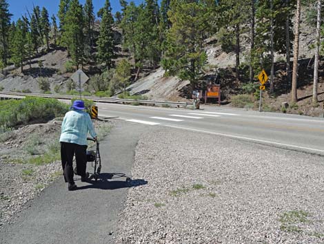 Paved trail crosses Deer Creek Road (view SW) |
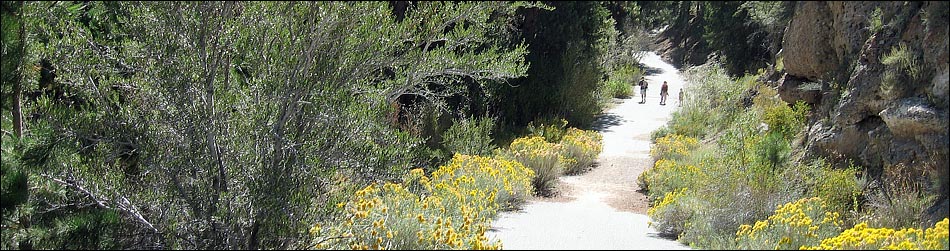
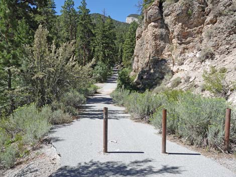
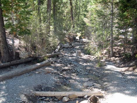
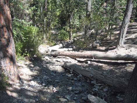
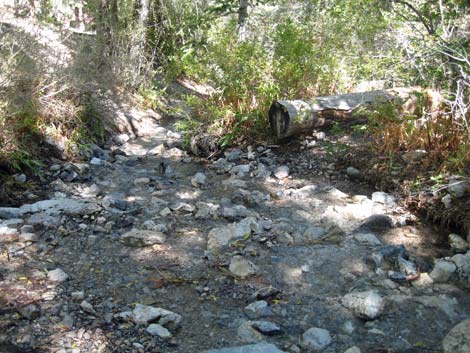
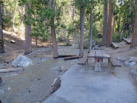
Description Deer Creek cuts a rocky, narrow canyon down the steep flanks of Mummy Mountain. When Deer Creek Road was constructed, they put in a culvert and filled the canyon with dirt. The culvert is now plugged, and the roadway acts as a dam that backs up a small pond. The culvert leaks, so the pond is ephemeral, but when it has water, this is an extraordinary place to watch birds in these arid mountains. The trail into the picnic area parallels the road out to the pond, then turns up an old road (now a paved, accessible trail) along the stream. Enormous ponderosa pines and white fir, plus willows, shrubs, and mountain wildflowers provide cover for birds and Mount Charleston Chipmunks as they come to drink and bathe. Birders can work the area by walking up the old road and stopping at picnic tables to sit and let the birds get used to your presence; they will come back for water. |
 Paved trail enters Deer Creek Canyon (view W) |
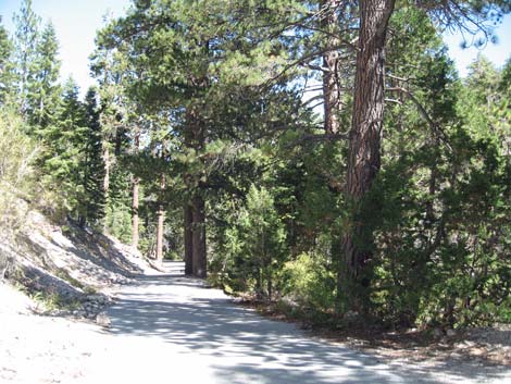
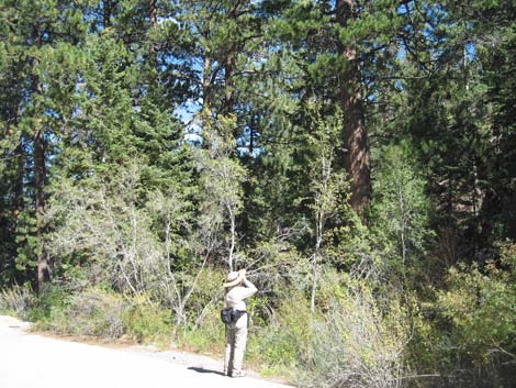
Location Deer Creek is located up in the Spring Mountains National Recreation Area (generally referred to as Mt. Charleston) on Deer Creek Road between Kyle and Lee Canyons, about 45 minutes northwest of Las Vegas. From town, drive out to the Deer Creek Trailhead. Link to Google Map. Cross the road carefully (listen for vehicles careening around the curve), walk south into the Picnic Area, and bird all the way to the top of the paved trail (old picnic area road). Birders may continue past the pavement on a dirt road, but the best birding is along the water. There is a damp meadow up the canyon, so that is some incentive to continue up the canyon on dirt road. Hours Always open, but it should be considered a day-use only. |
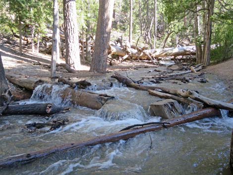 High water during the spring of 2019 |
Fees None. Specialties Deer Creek is good for finding a variety of woodpeckers, chickadees, nuthatches, warblers, thrushes, and jays. Species I've seen here: Broad-tailed Hummingbird, Hairy Woodpecker, Northern Flicker, Violet-green Swallow, Mountain Chickadee, White-breasted Nuthatch, Hermit Thrush, American Robin, Ruby-crowned Kinglet, Yellow-rumped Warbler, Western Tanager, Chipping Sparrow, Dark-eyed Junco, Black-headed Grosbeak, Purple Finch, Cassin's Finch, and Townsend's Solitaire. ... and many more! Also watch for: Mt. Charleston Chipmunk and Western Fence Lizard. |
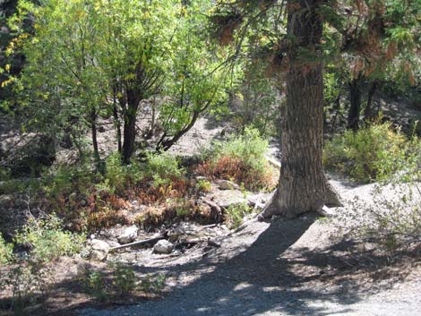 Streamside vegetation |
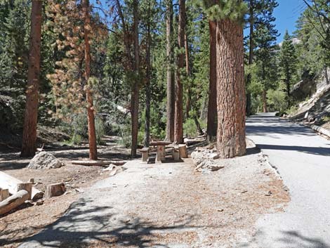 Streamside picnic table makes a nice place to sit quietly |
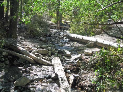 Logs and rocks in the stream provide pools where birds bathe |
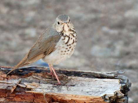 Hermit Thrush on log along stream |
 |
 |
 |
 |
 Babbling brook: the sound of water brings in birds |
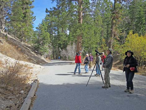 Red Rock Audubon birders |
 High water during the spring |
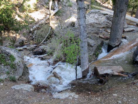 High water during the spring |
 Returning to the parking area (view N from trail) |
 Arriving back at the parking area and restrooms |
Table 1. GPS Coordinates for Highway Locations (NAD27; UTM Zone 11S). Download Highway GPS Waypoints (*.gpx) file.
| Site # | Location | Latitude (°N) | Longitude (°W) | UTM Easting | UTM Northing | Elevation (feet) | Verified |
|---|---|---|---|---|---|---|---|
| 1039 | Deer Creek Parking Area | 36.3143 | 115.6205 | 623838 | 4019495 | 8,307 | Map |
Happy birding! All distances, elevations, and other facts are approximate.
![]() ; Last updated 240523
; Last updated 240523
| Birding Around Las Vegas | Southern Nevada Birds | Guide Service | Copyright, Conditions, Disclaimer | Home |