Hiking Around Las Vegas, Spring Mountains (Mt. Charleston), Kyle Canyon
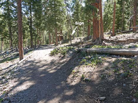
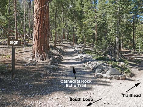
 Cathedral Rock and South Loop trailhead sign (view SW) Cathedral Rock and South Loop trailhead sign (view SW) |
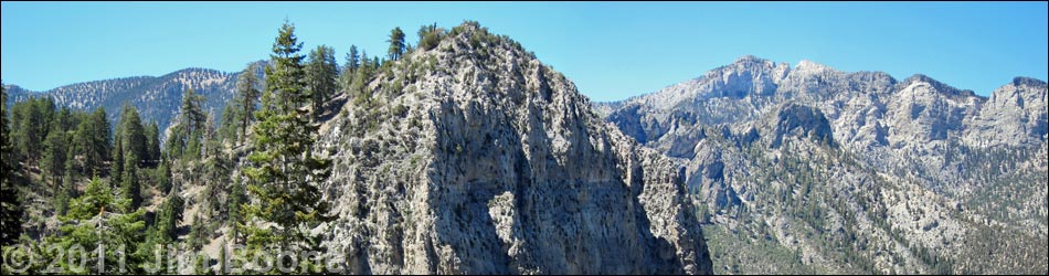
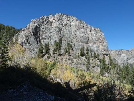
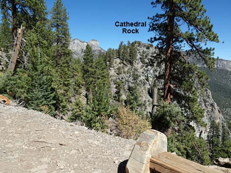
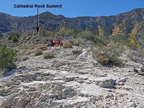
Overview The Cathedral Rock Trail is a moderately strenuous, 1.5-mile hike through a Pine-Fir Forest to the top of Cathedral Rock, a rocky limestone promontory with great views overlooking Kyle Canyon and the surrounding mountain peaks. Much of the trail follows an old road up an avalanche chute along the east side of Cathedral Rock to a saddle behind the summit. From there, the trail climbs a few short switchbacks to the summit overlook. Views from the top are spectacular: hikers can look straight down to the trailhead and the lodge and off to the other peaks in the area. Link to map. |
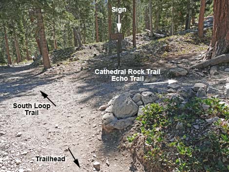
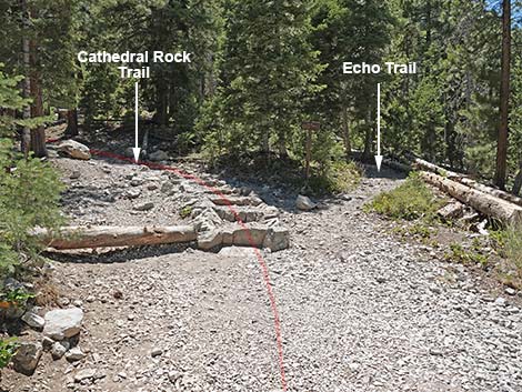
 Start of Cathedral Rock, South Loop, and Echo trails (view SW) |
Watch Out Other than the standard warnings about hiking in the desert, ...this trail passes through an avalanche chute that could be dangerous during winter. The trail is strenuous, so take it easy at this elevation. There are no railings at the top, so be careful near the edge, as a slip would result in certain death. Watch your kids and pets carefully. While hiking, please respect the land and the other people out there, and try to Leave No Trace of your passage. Also, even though this hike is short, be sure to bring what you need of the 10 Essentials. This hike goes up to the edge of the Mt. Charleston Wilderness Area, so pay particular attention to respecting the land. |
 Trails pass Cathedral Rock Trailhead sign (view SW) |
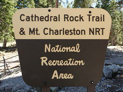
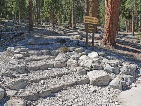
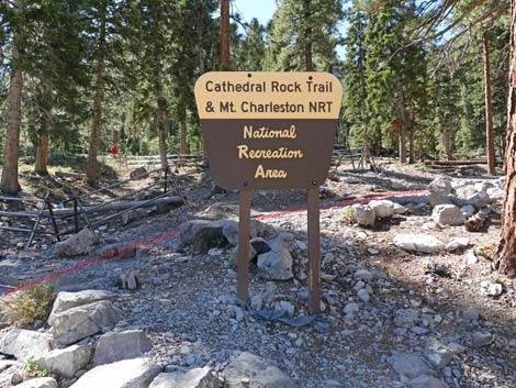
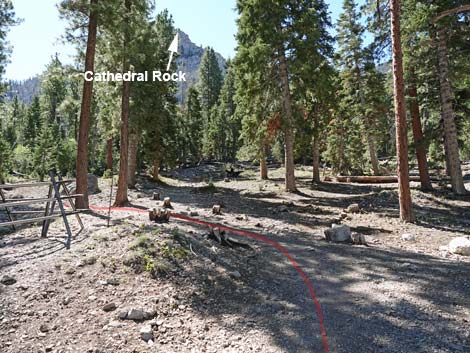
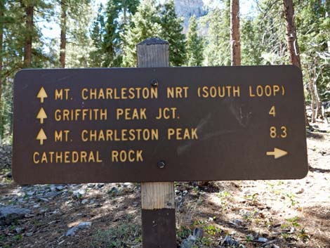
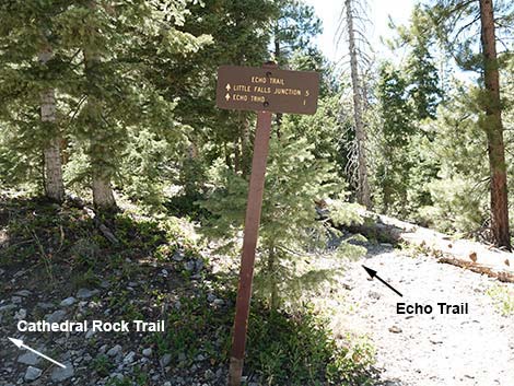
Getting to the Trailhead This hike is located in Kyle Canyon up in the Spring Mountains National Recreation Area, about 45 minutes northwest of Las Vegas. From town, drive Highway 95 to Kyle Canyon Road to the Spring Mountains Visitor Center. From the round-about, continue up Kyle Canyon Road for 4.7 miles (8 minutes) to Cathedral Rock Trailhead. This is the trailhead for the Cathedral Rock Trail, but also the South Loop Trail, Echo Trail, and Upper Little Falls Trail. All four start on the same trail. Note that for a time, the Forest Service referred to the South Loop Trail as the "Mt. Charleston NRT" (where NRT is National Recreation Trail). |
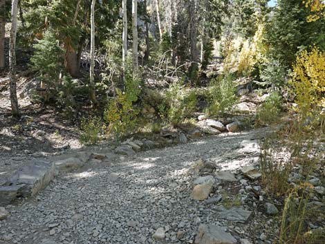
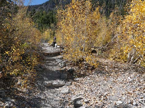
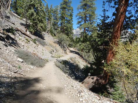
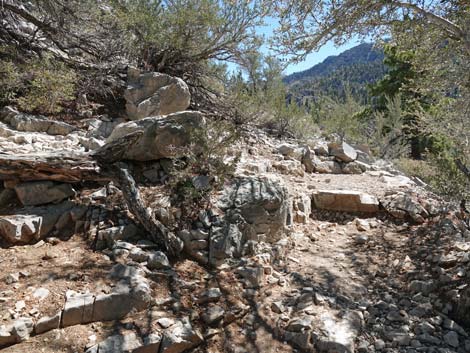
 Trail runs outside of fenced area (view W) |
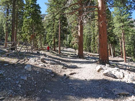
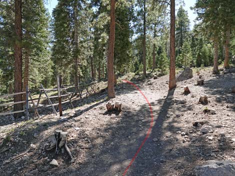
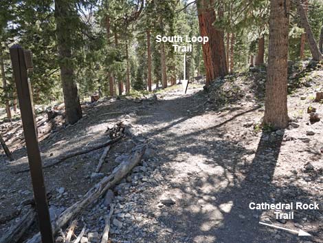
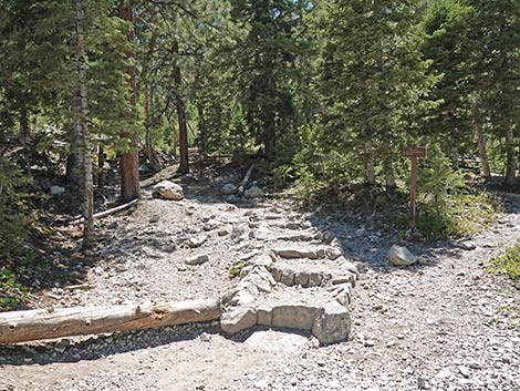
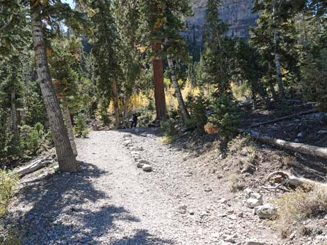
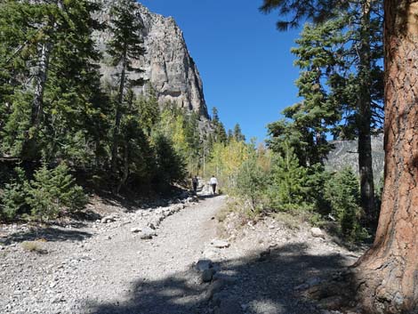
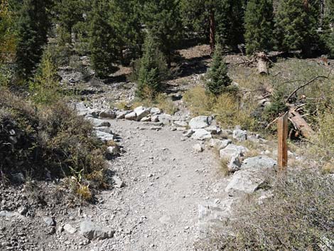
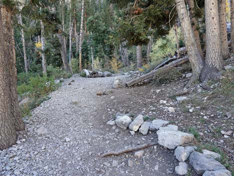
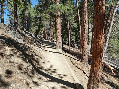
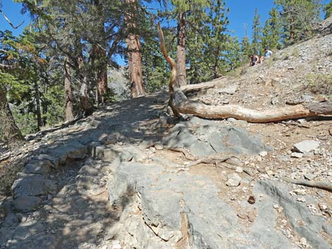
The Hike From the trailhead (Table 1; Waypoint 01), the Cathedral Rock Trail runs up and left around a fenced habitat restoration area where hikers get their first glimpse through the trees of Cathedral Rock towering above. In about 200 yards the trail arrives at a fork (Wpt. 02). At the fork, the Cathedral Rock Trail (and Echo Trail) turns right, while the South Loop Trail continues straight. To this point, the trail passes through a mixed forest of Ponderosa Pines and White Fir with an open understory of Wax Currents and a few other shrubs, plus some grasses, thistles, and a few forbs. In the trees, views are short, but hikers can look back down on the trailhead parking area. From the trail junction (Wpt. 02), the Cathedral Rock Trail turns right and starts up the hillside. In about 100 yards, the trail forks again (Wpt. 03). Here, the Cathedral Rock Trail bends left climbing stone stairs, while the Echo Trail stays to the right (straight) with a dirt tread. |
 Trail bends left around corner of fenced area (view SW) |
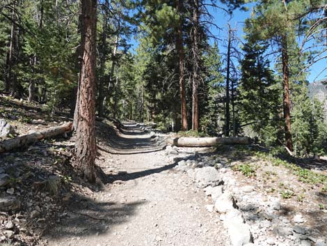
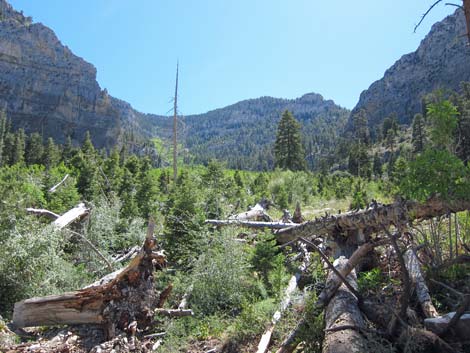
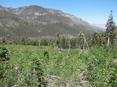
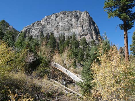
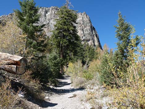
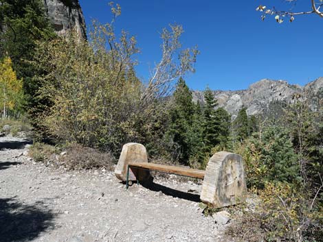
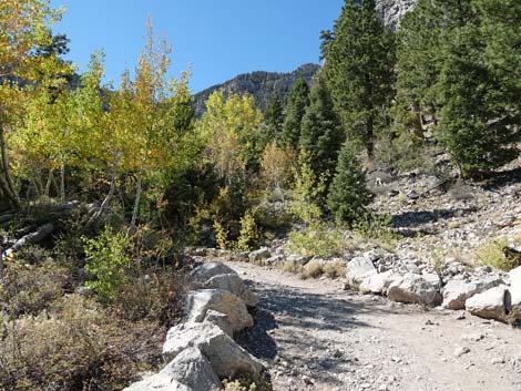
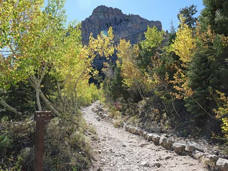
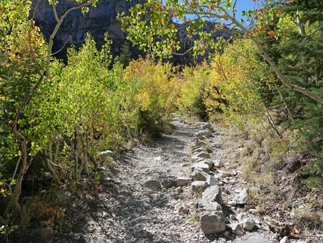
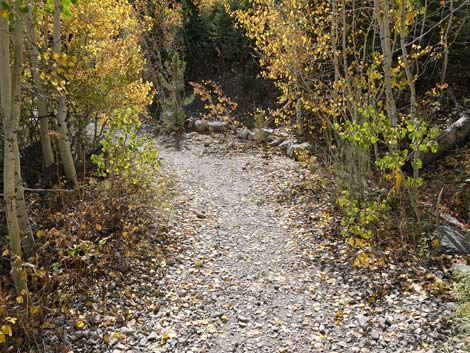
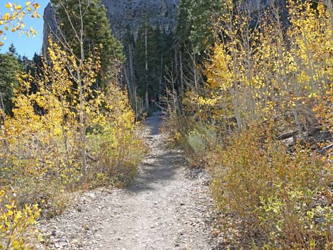
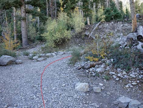
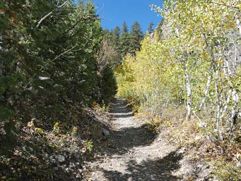
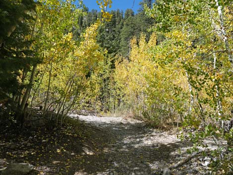
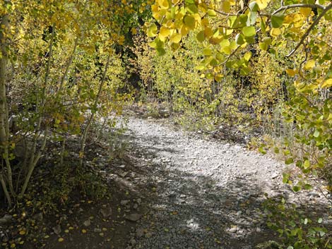
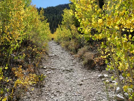
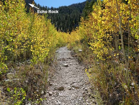
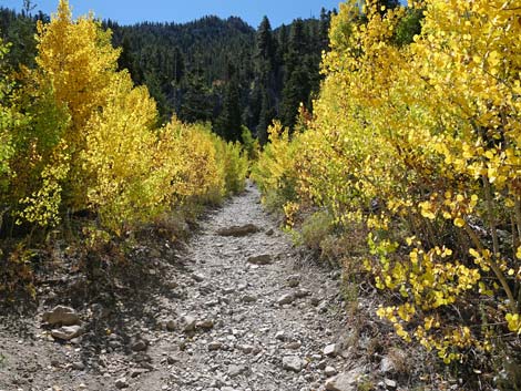
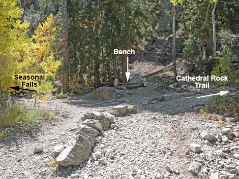
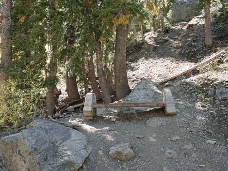
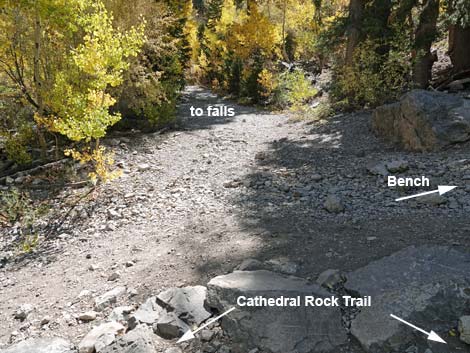
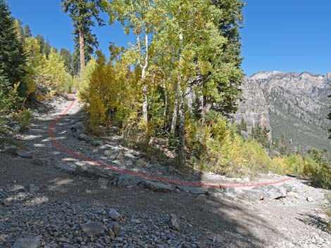
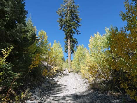
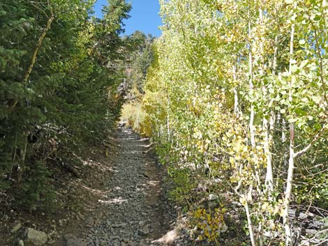
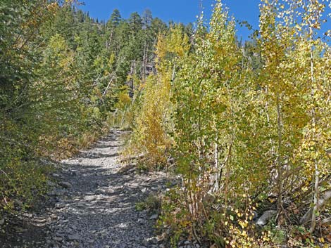
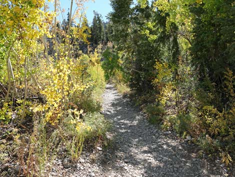
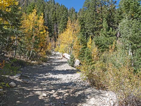
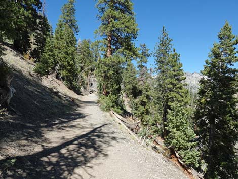
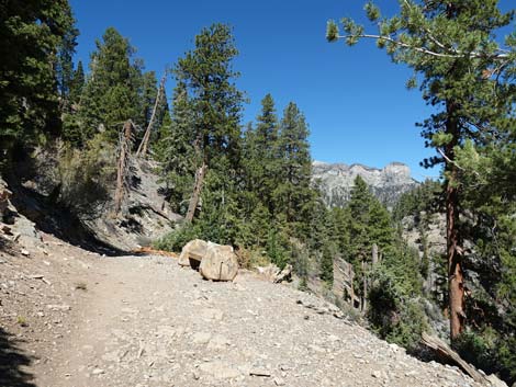
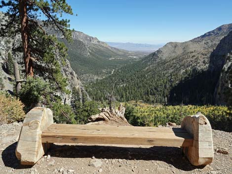
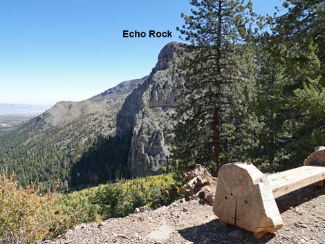
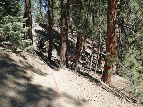
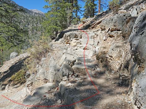
From the fork (Wpt. 03), the Cathedral Rock Trail follows an old road as it zig-zags up Mazie Canyon, which forms an avalanche chute between Cathedral Rock (on the right) and Echo Rock (on the left). Repeated avalanches prevent conifer trees from growing too tall here, thus opening the forest and allowing Quaking Aspen to grow (they bend under the snow). There are several species of shrubs and lots of spring wildflowers here too. The quaking aspen have grown so tall that it is hard to notice the open avalanche chute, but when the aspen get too tall, they too will be knocked down. A tangle of old logs reveals the history of the area and the cycle of life. The trail runs up under Echo Cliffs (3rd switchback), then switchbacks over to the base of Cathedral Rock (4th switchback), and switchbacks again back up under Echo Cliffs (5th switchback; Wpt. 04) into a wooded area about 0.8 miles out. At the 5th switchback, hikers see a wooden bench above the trail, and to the left an unmarked use-trail east heads into the trees towards the cliffs. This use-trail leads a short distance to a seasonal waterfall (Wpt. 10). |
 Trail runs outside of fenced area (view SE) |
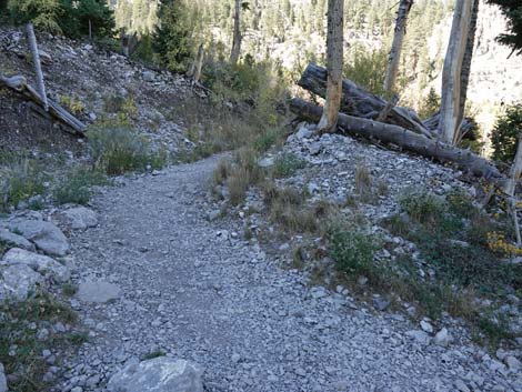
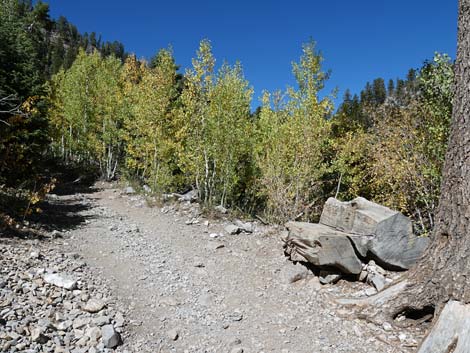
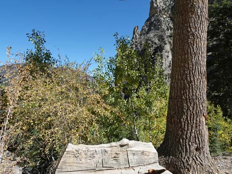
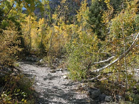
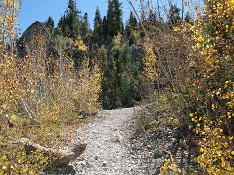
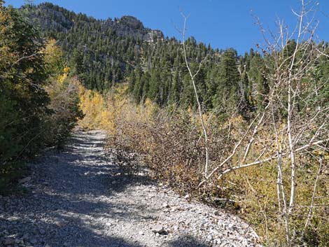
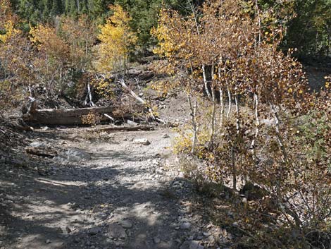
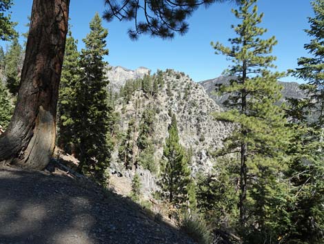
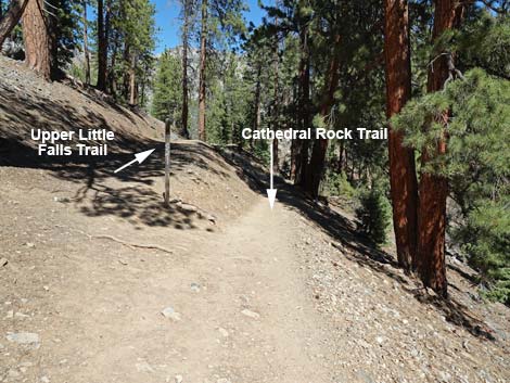
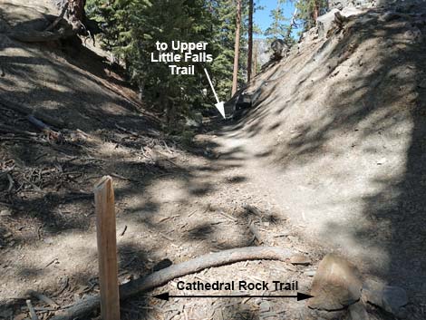
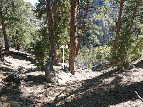
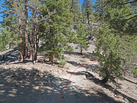
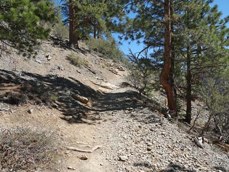
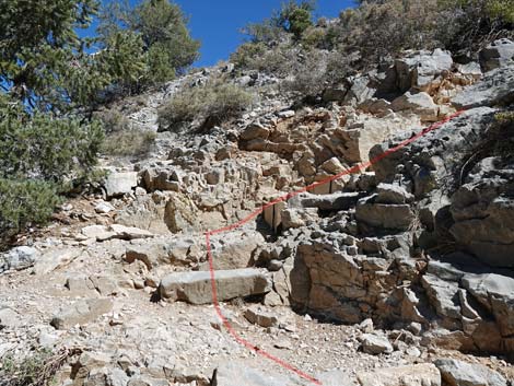
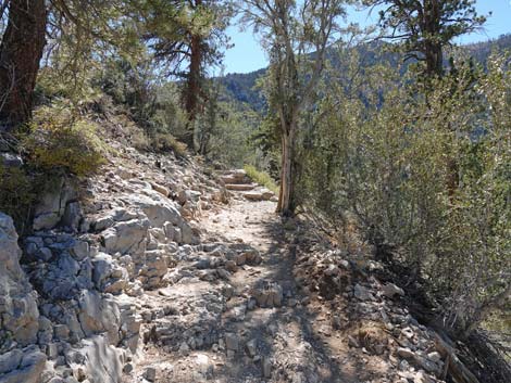
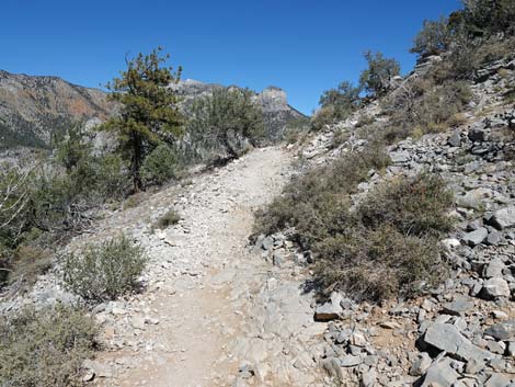
From the 5th switchback (Wpt. 04), the Cathedral Rock Trail continues up following the old road through wooded and open areas with great views down the canyon and of the steep east face of Cathedral Rock. After two shorter switchbacks, Cathedral Rock Trail circles around the top of Mazie Canyon and begins to approach Cathedral Rock from the south. Near the back of Cathedral Rock, the trail forks (Wpt. 05) for a last time. Here, the old road forks left and continues west as the Upper Little Falls Trail. In contrast, a narrow trail going right towards Cathedral Rock drops into a saddle. It is easy to get confused here because it looks like the trail should continue up the old road; historically there has not been a trail sign here. The narrow trail to the north leads down a few yards to a saddle where diggings for old water works can be seen as a trench on the left. The trench was for a buried water pipe, and during periods of spring snow melt, water from Little Falls Creek can be seen pouring out of a broken pipe below the trail on the right (opposite the trench). |
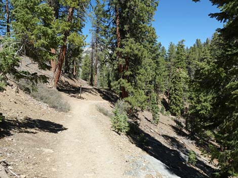
 Trail runs through forest of Ponderosa Pines and White Fir (view SE) |
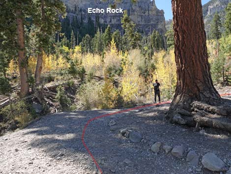
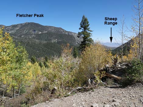
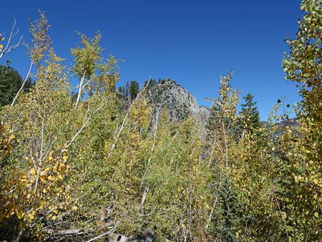
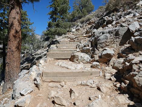
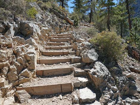
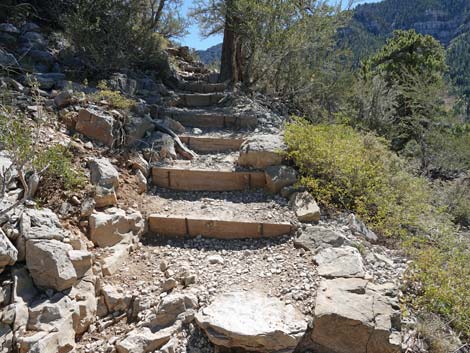
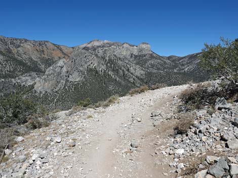
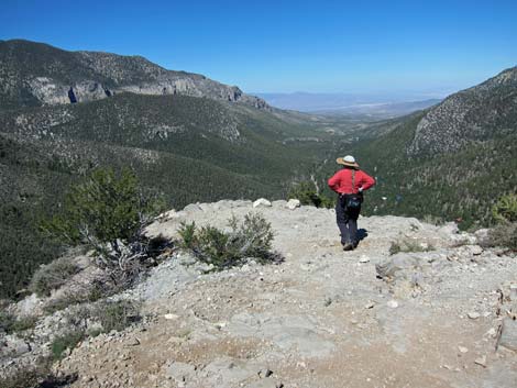
From the saddle, Cathedral Rock Trail climbs onto the back of Cathedral Rock and angles off towards the southeast corner of Cathedral Rock. A few steep switchbacks, shaded primarily by Ponderosa Pine, brings the trail back to the southwest side of Cathedral Rock. Before long, stone stairs, steep trail, and short switchbacks bring hikers near the summit. For most hikers, the true summit probably is ignored, and instead hikers drop a few feet in elevation as they head out to the Cathedral Rock Overlook (Wpt. 06). Views from Cathedral Rock Overlook are spectacular. Adventuresome hikers can work their way out to the edge of the cliff and look straight down about 1,000 feet to the Lodge and trailhead parking area. Be careful and watch your children here, as it is 1,000 feet straight down. Also, be careful not to kick rocks off the summit because someone might be hiking below on the Echo Trail (or the rocks may be hitting your own car). See summit views. |
 Cathedral Rock Trail approaching trail junction (view SE) |
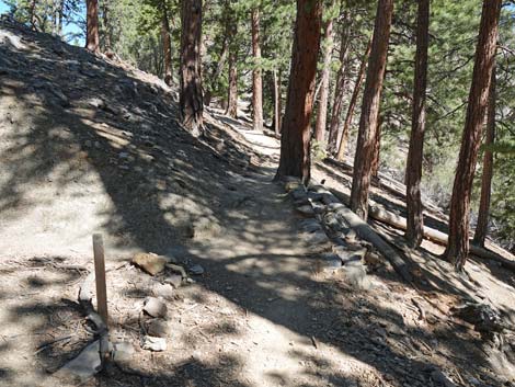
Cathedral Rock Overlook is a good place to see the endemic Mt. Charleston Chipmunk (endemic means they only live here). This is also a good place to see Golden-Mantled Ground Squirrels. Superficially they look similar, but the chipmunk is smaller with black-and-white stripes across the face, while the ground squirrel has reddish fur on the head and shoulders (the "golden mantle") and the face is dark with a bit of a white ring around the eye. These guys are serious beggars and will happily take your lunch and crumbs. It is not, however, good for them to eat human food. First, they lose their ability to forage efficiently for natural foods, and second, they put on a different kind of fat -- one that is less likely to last while they hibernate through the winter. While feeding them is fun, your generosity makes it more likely they will starve to death during winter. When ready to leave, retrace your steps back to the trailhead. Please stay on the trail and don't cut the switchbacks on the way down. This damages the trail and the vegetation, and it makes the trail and scenery worse for everyone. Hikers might consider extending the hike by following the old road west (Upper Little Falls Trail) to the seasonal stream that feeds Little Falls (Wpt. 11, Wpt. 12, Wpt. 13). |
 Cathedral Rock Trail at trail junction (view SE; sign was knocked down) |
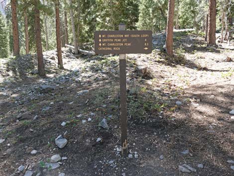 Cathedral Rock, Echo, South Loop trails junction sign (view S) |
 Trail junction sign (view S; sign was knocked down) |
 South Loop continues straight (view SE) |
 Cathedral Rock and Echo trails turn right (view W) |
 Cathedral Rock and Echo trails continue (view W) |
 Cathedral Rock and Echo trails continue into the woods (view W) |
 Approaching Cathedral Rock - Echo Trail junction (view W) |
 Cathedral Rock Trail stays left on stone stairs (view W) |
 Sign at trail junction (view W) |
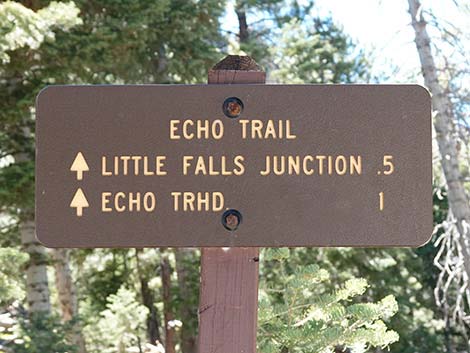 Trail sign with distances for Echo Trail (view W) |
 Cathedral Rock Trail climbs the stone stairs bending left (view SW) |
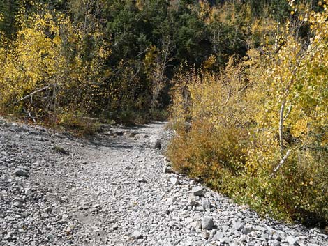
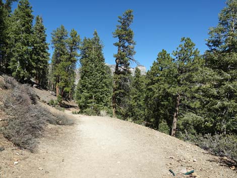
 Cathedral Rock Trail follows old road through trees (view S) |
 Trail enters avalanche chute with Quaking Aspen (view S) |
 Avalanche chute between Cathedral Rock and Echo Rocks (2013) |
 Hiking across avalanche chute (June 2013) |
 Out of the trees, first good view of Cathedral Rock (view W) |
 Cathedral Rock Trail approaching first switchback (view S) |
 First switchback is near base of Echo rock (view S) |
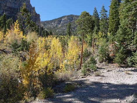 Fall colors (Aspen) in Mazie Canyon (view SW from first switchback) |
 Cathedral Rock Trail passing first switchback (view S) |
 Trail now runs towards Cathedral Rock (view NW) |
 Cathedral Rock Trail approaching first bench (view S) |
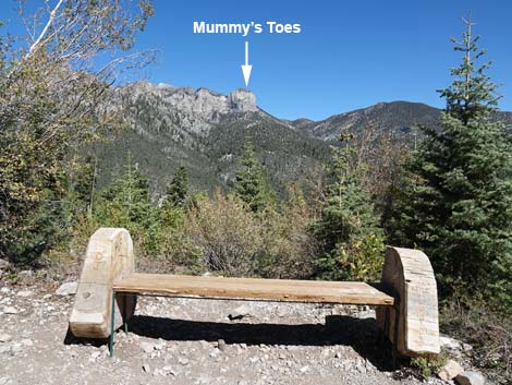 First bench (view north towards Mummy Mountain) |
 Cathedral Rock Trail approaching second switchback (view NW) |
 Cathedral Rock Trail at second switchback (view NW) |
 Cathedral Rock Trail passing second switchback (view S) |
 Cathedral Rock Trail climbs across the avalanche chute (view S) |
 Cathedral Rock Trail climbs across the avalanche chute (view S) |
 Grand scenery (view NE from the trail) |
 Cathedral Rock Trail approaching Echo Rock again (view SE) |
 Cathedral Rock Trail approaching third switchback (view SE) |
 Cathedral Rock Trail at third switchback (view S) |
 Cathedral Rock Trail passing third switchback (view SW) |
 Cathedral Rock (view NW from the shadow of Echo Rock) |
 Cathedral Rock Trail approaching second bench (view S) |
 Grand scenery (view N from second bench) |
 Cathedral Rock Trail runs through a tunnel of trees (view NW) |
 Cathedral Rock Trail approaching Cathedral Rock again (view NW) |
 Evergreen trees on the left, deciduous trees on the right (view NW) |
 Cathedral Rock Trail approaching fourth switchback (view W) |
 Cathedral Rock Trail at fourth switchback (view SW) |
 Cathedral Rock Trail passing fourth switchback (view SE) |
 Trail runs back towards Echo Rock (view S) |
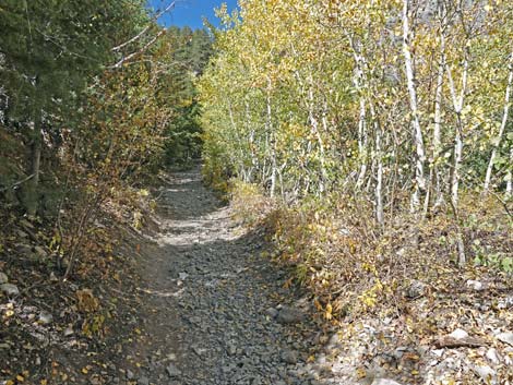
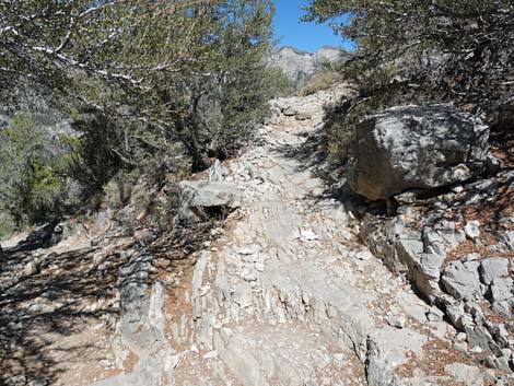
 Trail continues climbing up the avalanche chute (view S) |
 Cathedral Rock Trail approaching fifth switchback (view S) |
 Cathedral Rock Trail at fifth switchback (view S) |
 Cathedral Rock Trail at fifth switchback (view SW) |
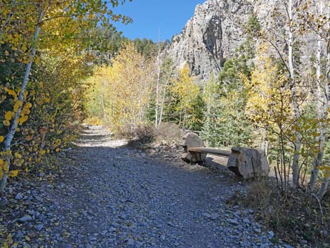
 Cathedral Rock Trail at third bench (view S) |
 Grand scenery (view N from third bench) |
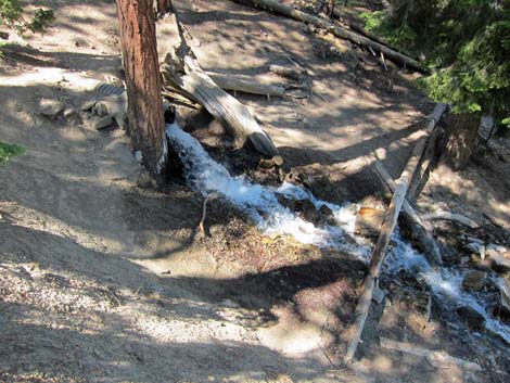
 Use-trail to seasonal waterfall departs at fifth switchback (view SE) |
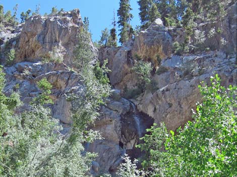 Upper seasonal waterfall during spring snowmelt (view S) |
 Returning to Cathedral Rock Trail (view NW from Seasonal Falls trail) |
 Cathedral Rock Trail runs through a tunnel of trees (view NW) |
 Cathedral Rock Trail approaching fourth bench (view NW) |
 Area behind bench has grown up (view N) |
 Evergreen trees on the left, deciduous trees on the right (view NW) |
 Trail continues climbing up through the avalanche chute (view S) |
 Top of Cathedral Rock is beginning to look closer (view NW) |
 Cathedral Rock Trail approaching sixth switchback (view W) |
 Cathedral Rock Trail passing sixth switchback (view SE) |
 Cathedral Rock Trail approaching seventh switchback (view SE) |
 Cathedral Rock Trail at seventh switchback (view S) |
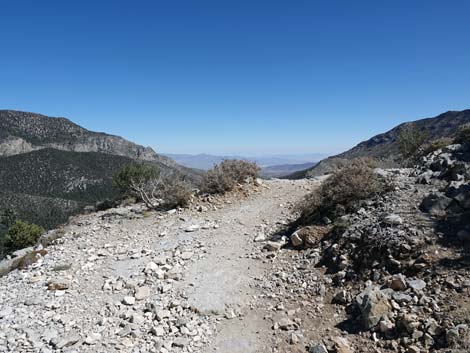
 Trail starting out across top of Maize Canyon (view W) |
 The trail is so steep that it requires stone stairs (view SW) |
 Trail continues across top of Maize Canyon (view SW) |
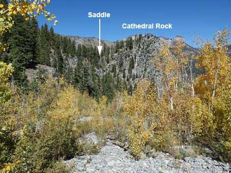 Saddle and back of Cathedral Rock come into view (view NW) |
 Trail continues across top of Maize Canyon (view W) |
 Trail continues across top of Maize Canyon (view NW) |
 Trail continues across top of Maize Canyon (view SW) |
 Trail continues across top of Maize Canyon (view NW) |
 Approaching bulwark guarding enormous Ponderosa Pine (view NW) |
 Bulwark stops erosion below enormous Ponderosa Pine (view NW) |
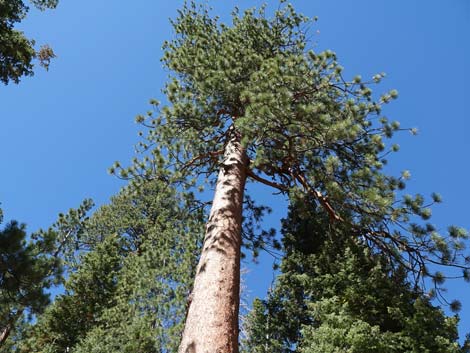 Enormous, ancient Ponderosa Pines (view up) |
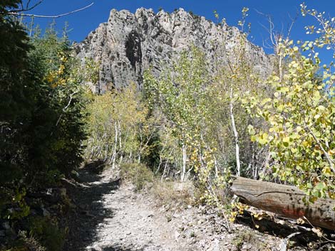
 The summit of Cathedral Rock is getting closer (view NE) |
 Easy trail continues across top of Maize Canyon (view NW) |
 Cathedral Rock Trail approaching fifth bench (view N) |
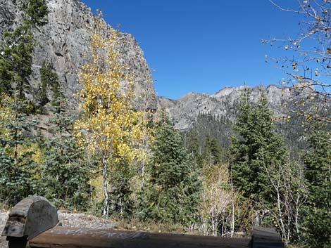
 Grand scenery down Kyle Canyon (view NE from fifth bench) |
 Grand scenery (view E from fifth bench) |
 Grand scenery (view N from fifth bench) |
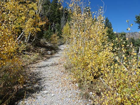
 Easy trail continues across top of Maize Canyon (view NW) |
 Lots of White Fir at this elevation (view N) |
 Cathedral Rock Trail approaching a trail junction (view N) |
 Cathedral Rock Trail at Upper Little Falls Trail junction (view N) |
 Cathedral Rock Trail drops into saddle (view NE) |
 Cathedral Rock Trail at saddle (view NE) |
 Trench for water pipe (view NW from Cathedral Rock Trail) |
 Broken water pipe (view SE from Cathedral Rock Trail) |
 Broken pipe carrying water from Little Falls Creek (view N) |
 Cathedral Rock Trail climbs out of saddle (view NE) |
 Trail approaching the back of Cathedral Rock (view NE) |
 Trail climbs up across the back of Cathedral Rock (view E) |
 Cathedral Rock Trail approaching first short switchback (view SE) |
 Cathedral Rock Trail passing first short switchback (view NE) |
 Cathedral Rock Trail passing second short switchback (view SE) |
 Cathedral Rock Trail approaching third short switchback (view E) |
 Cathedral Rock Trail passing third short switchback (view NW) |
 Trail climbs onto west side of Cathedral Rock (view NW) |
 Trail climbs across west side of Cathedral Rock (view N) |
 Steep section of trail with wooden stairs (view NE) |
 Cathedral Rock Trail at fourth short switchback (view NE) |
 Cathedral Rock Trail passing fourth short switchback (view SE) |
 Easier trail climbs across west side of Cathedral Rock (view SE) |
 Steeper trail climbs across west side of Cathedral Rock (view SE) |
 Cathedral Rock Trail at fifth short switchback (view SE) |
 Cathedral Rock Trail passing fifth short switchback (view N) |
 Easier trail climbs across west side of Cathedral Rock (view N) |
 Easier trail approaching north side of Cathedral Rock (view NE) |
 Approaching highest point on Cathedral Rock (view NE) |
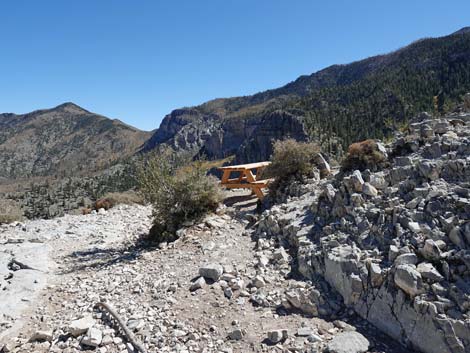 Cathedral Rock Trail approaching picnic table on the summit (view E) |
 Picnic table on the summit (view E) Picnic table on the summit (view E) |
 Cathedral Rock Trail dropping towards the overlook (view NE) |
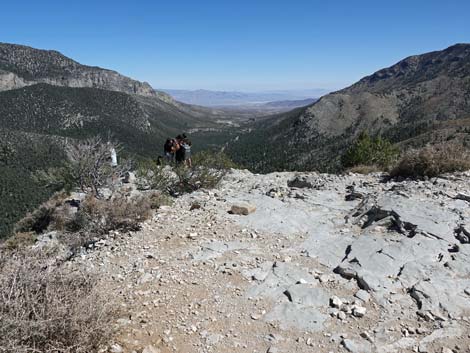
 BirdAndHike Lady arriving at the overlook (view NE) (Summit Photos) |
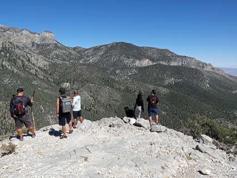 Hikers out on the edge of the overlook (view N) (Summit Photos) |
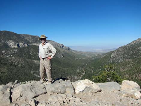 BirdAndHike Guy Out on the edge (view NE) (Summit Photos) |
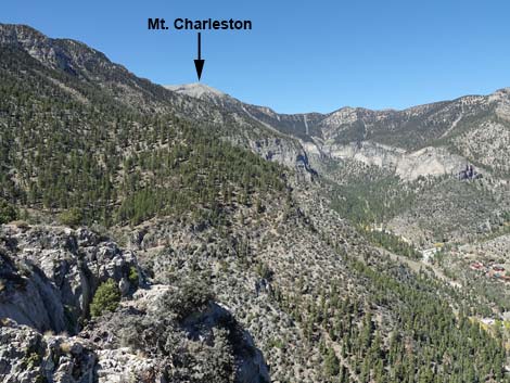 Grand views (view NW towards Charleston Peak) (Summit Photos) |
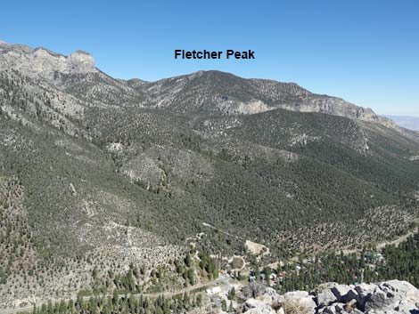 Grand views (view NE towards Fletcher Peak) (Summit Photos) |
 Don't forget to visit the actual summit (view S from overlook) |
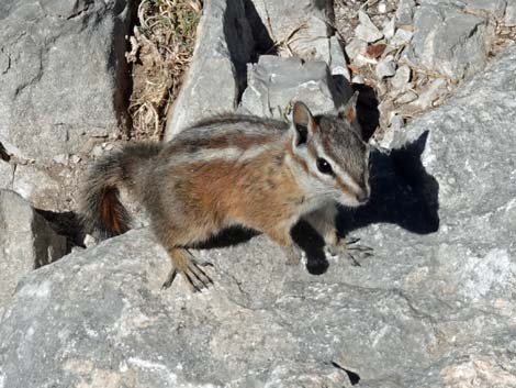 Mt. Charleston Chipmunk (note: stripes through eye) |
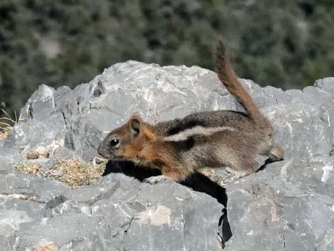 Golden-Mantled Ground Squirrel (note: no stripes through eye) |
Table 1. Hiking Coordinates Based on GPS Data (NAD27; UTM Zone 11S). Download Hiking GPS Waypoints (*.gpx) file.
| Wpt. | Location | UTM Easting | UTM Northing | Elevation (ft) | Point-to-Point Distance (mi) | Cumulative Distance (mi) |
|---|---|---|---|---|---|---|
| 01 | Cathedral Rock Trailhead | 621731 | 4013026 | 7,713 | 0.00 | 0.00 |
| 02 | Cathedral-South Loop Trail Junction | 621802 | 4012928 | 7,716 | 0.10 | 0.10 |
| 03 | Cathedral-Echo Trail Junction | 621724 | 4012921 | 7,728 | 0.05 | 0.16 |
| 04 | Trail Junction, Waterfall | 621485 | 4012413 | 8,183 | 0.63 | 0.79 |
| 05 | Trail Junction, Upper Little Falls Creek | 621224 | 4012692 | 8,433 | 0.43 | 1.22 |
| 06 | Cathedral Rock Summit Overlook | 621397 | 4012887 | 8,585 | 0.27 | 1.49 |
| 01 | Cathedral Rock Trailhead | 621731 | 4013026 | 7,713 | 1.49 | 2.98 |
| . | . | . | . | . | . | . |
| 04 | Trail Junction, Waterfall | 621485 | 4012413 | 8,183 | 0.00 | 0.00 |
| 10 | Base of Waterfall | 621512 | 4012357 | 8,223 | 0.06 | 0.06 |
| . | . | . | . | . | . | . |
| 05 | Trail Junction, Upper Little Falls Creek | 621224 | 4012692 | 8,433 | 0.00 | 0.00 |
| 11 | Trail Junction | 621206 | 4012764 | 8,432 | 0.05 | 0.05 |
| 12 | Campsite | 620820 | 4012869 | 8,435 | 0.27 | 0.32 |
| 13 | Little Falls Creek, End of Trail | 620755 | 4012795 | 8,447 | 0.06 | 0.38 |
Happy Hiking! All distances, elevations, and other facts are approximate.
![]() ; Last updated 240329
; Last updated 240329
| Hiking Around Mt Charleston | Hiking Around Las Vegas | Glossary | Copyright, Conditions, Disclaimer | Home |