Hiking Around Las Vegas, Mount Charleston Area
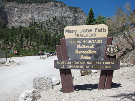
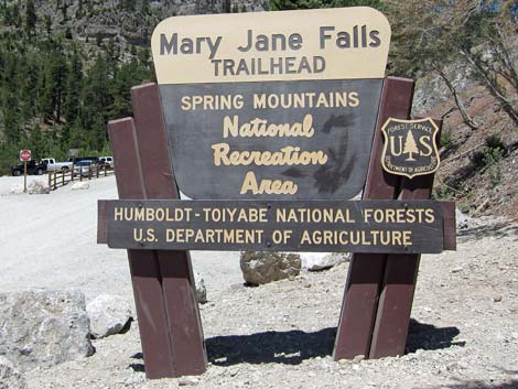 Mary Jane Falls Trailhead sign at entrance to parking |
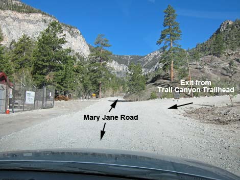
The Mary Jane Falls Trailhead is located up in the Spring Mountains National Recreation Area (also known as Mt. Charleston), about 45 minutes northwest of Las Vegas. From town, drive out to the Spring Mountains Visitor Center. From there, continue west on Kyle Canyon Road for 4.1 miles past the fire station, to Echo Road. Stay right onto Echo Road and drive northwest for 0.4 miles to Mary Jane Road, a dirt road to the left. In a passenger vehicle, turn left onto Mary Jane Road. However, in an RV or if towing a trailer, continue 100 yards farther on Echo Road and turn left into Trail Canyon Trailhead parking. Link to Trailhead Map. |
 Mary Jane Falls Trailhead |
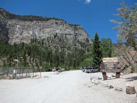
Turning left onto Mary Jane Road, the road runs across the south end of the big dirt, Trail Canyon Trailhead parking lot. "Do Not Enter" signs here are confusing. Traffic through the Trail Canyon Trailhead parking area is one-way, and this is the exit end. On Mary Jane Road, drivers pass the Trail Canyon Trailhead parking lot and head west for about 0.25 miles to a parking area at the end of the road (Site 0541). Park here; this is the trailhead. If the parking lot is full, parking is permitted on the north edge of Mary Jane Road. Mary Jane Falls Trailhead provides access to Mary Jane Falls Trail, Big Falls Trail, and various other off-trail routes up the canyon and into the high country. |
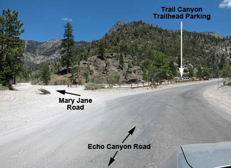 Echo Road at Mary Jane Falls access road turnoff (view NW) |
 Mary Jane Falls Access Road at Echo Well #3 (on left) |
 Mary Jane Falls Access Road approaching parking area |
 Mary Jane Falls Trailhead sign at entrance to parking |
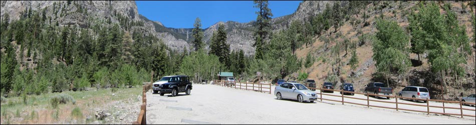
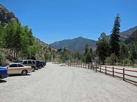
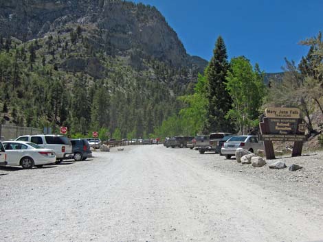 Busy summer weekend |
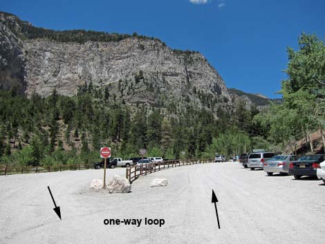 Mary Jane Falls, entering the parking area |
 Busy summer weekend |
 Parallel parking against the center fence; loop bends left (view W) |
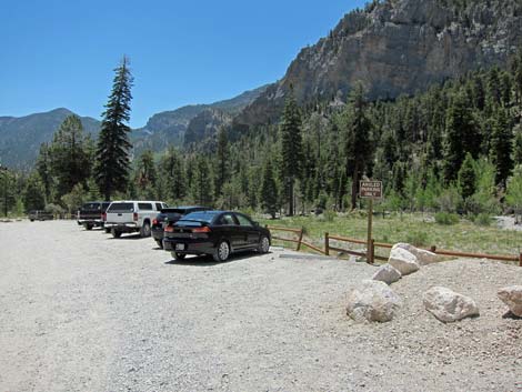 Angle parking on the edge of the parking area |
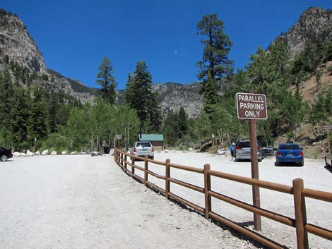 Parallel parking against the center fence (view W) |
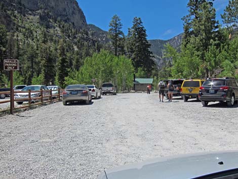
 Approaching the trailhead (view NW) |
 Approaching the trailhead (view NW) |
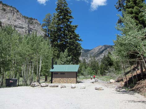
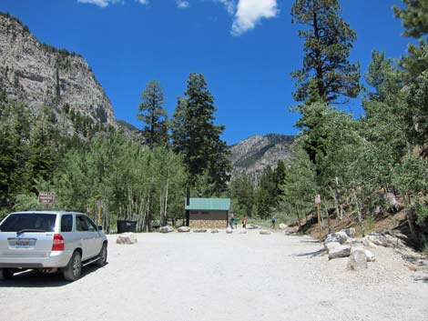
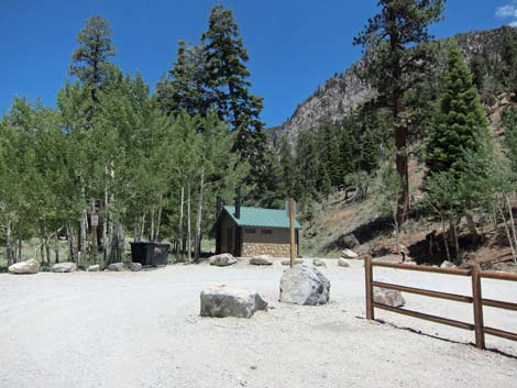
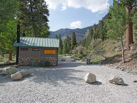
 Restroom and trash can at trailhead (view NW) |
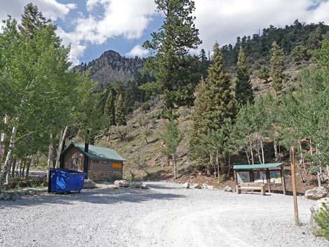
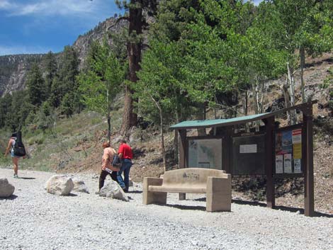 Information kiosk and bench |
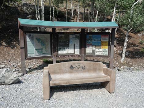 Information kiosk and bench |
 Mary Jane Falls Trailhead (view NW) Mary Jane Falls Trailhead (view NW) |
 Trail starts by toilets (view NW) |
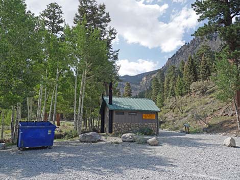
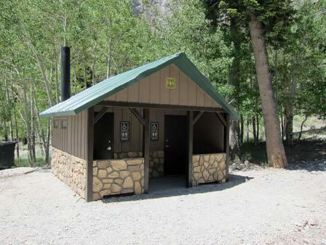 Restrooms at start of trail (view SW) |
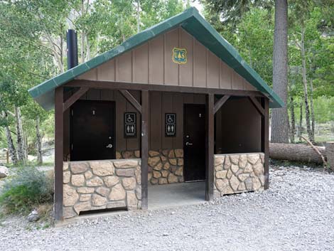 Restrooms at start of trail (view S) |
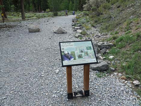 Information sign about spreading weeds (view NW) |
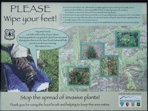 Information sign about problems with weeds (view NW) |
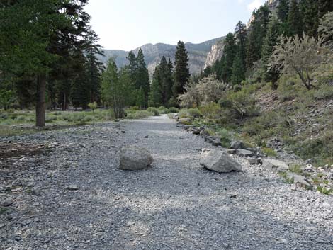 Start of Mary Jane Falls Trail (view NW) |
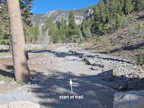 Beginning of Mary Jane Falls Trail |
 Returning back to the trailhead (view SE) |
Table 1. Highway Coordinates (NAD27; UTM Zone 11S). Download Highway GPS Waypoints (*.gpx) file.
| Site # | Location | Latitude (°N) | Longitude (°W) | UTM Easting | UTM Northing | Elevation (feet) |
|---|---|---|---|---|---|---|
| 0541 | Mary Jane Falls Trailhead | 36.26711 | 115.66154 | 620230 | 4014205 | 7,825 |
Happy Hiking! All distances, elevations, and other facts are approximate.
![]() ; Last updated 240329
; Last updated 240329
| Hiking Around Mt Charleston | Hiking Around Las Vegas | Glossary | Copyright, Conditions, Disclaimer | Home |