Hiking Around Las Vegas, Spring Mountains (Mt. Charleston), Lee Canyon
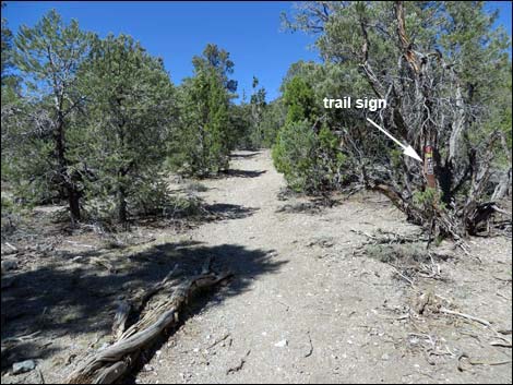
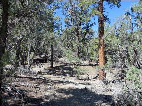
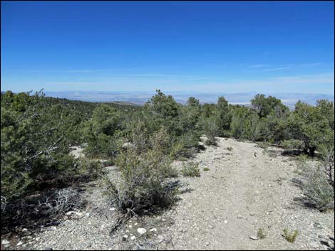
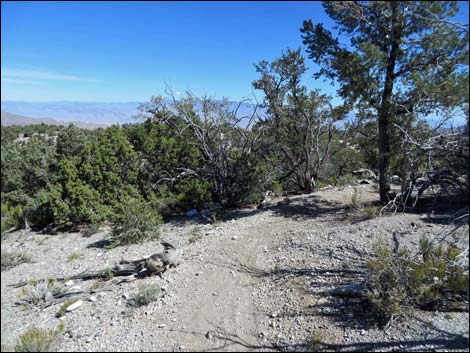
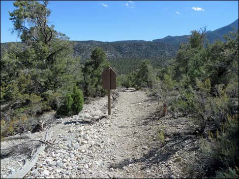
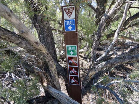
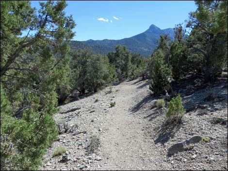
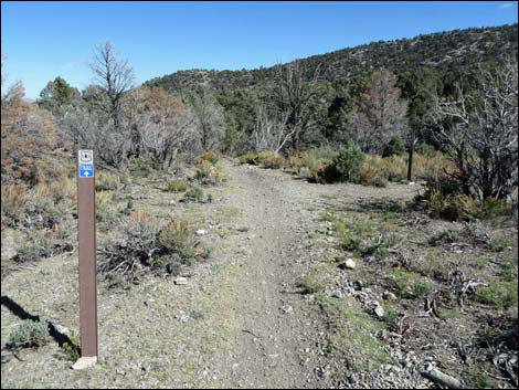
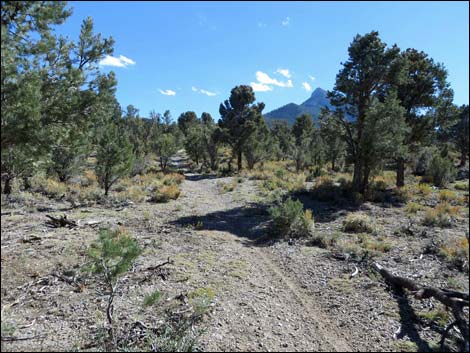
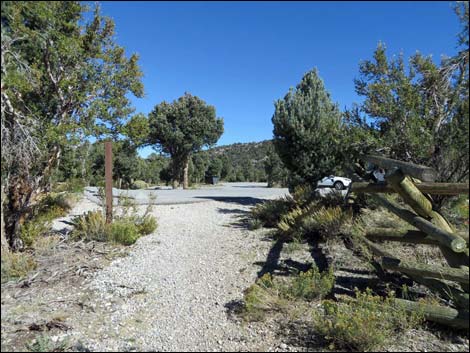
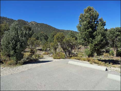 Sawmill Trailhead (view NW; Wpt. 01) |
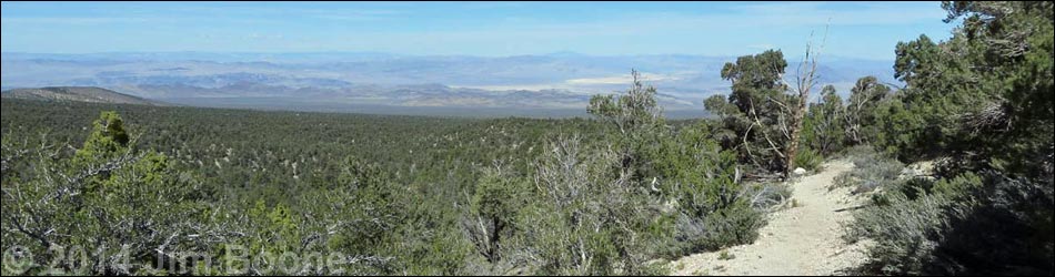
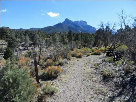
Overview The Big Sawmill Loop Trail is a fairly easy, 3.3-mile hike that runs through a middle elevation Pinyon-Juniper Forest. For hikers interested in exploring this habitat type, this (or the shorter Sawmill Loop Trail) is the best choice on Mount Charleston. In addition to the dominant conifers (Singleleaf Pinyon Pine and Utah Juniper), look for Curl-leaf Mountain Mahogany, Big Sagebrush, and annual flowers (e.g., Arizona Skyrocket and Rock Goldenrod) that change with the seasons. This is also good habitat for Woodhouse's Scrub-Jay, Juniper Titmouse, and Panamint Chipmunk. This trail also provides some surprisingly nice views to the north and northeast along the Spring Mountains and out across the Nevada National Security Site. This hike uses several of the Sawmill Area trails to make the loop. Starting on the Sawmill Loop Trail, the trail winds about to connect with the Mud Springs Loop Trail. Following that trail north, the loop then uses the Pinyon Pine Loop to connect with the Blue Tree Loop, which is followed back to the Sawmill Loop Trail and the trailhead. Link to area map, trail map or elevation profile. |
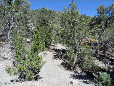
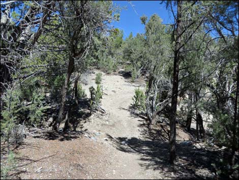
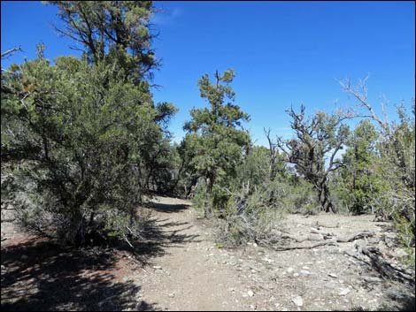
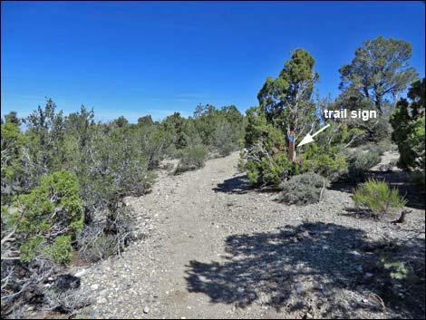
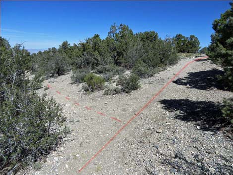
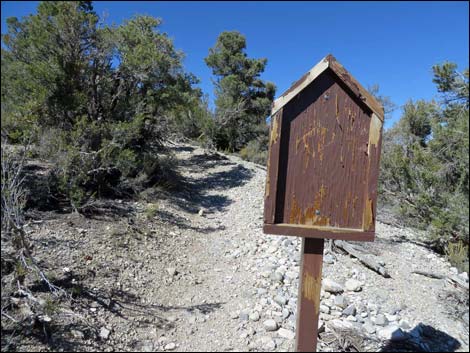
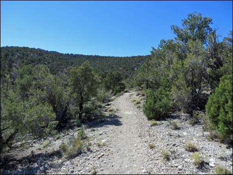
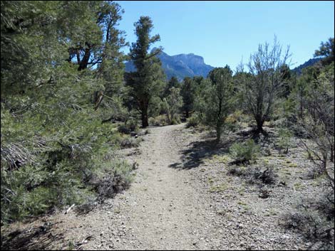
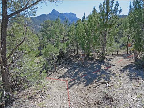
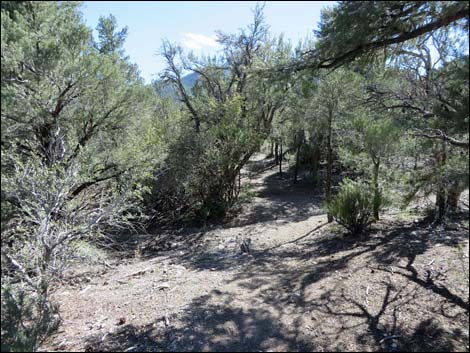
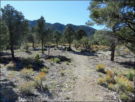
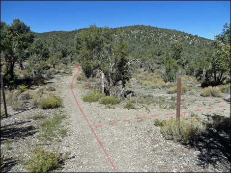 First trail junction; here starts the loop (view NW; Wpt. 02) |
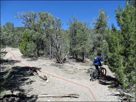
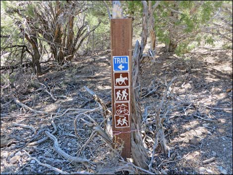
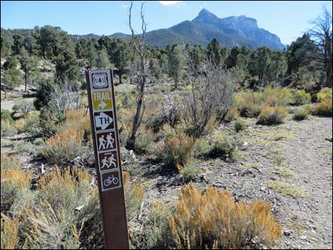
Watch Out Other than the standard warnings about hiking in the desert, ... this is a fairly safe hike without unusual hazards. However, this loop trail is located outside the Mt. Charleston Wilderness Area and is open to mountain bikes, so hikers have to watch for bikes careening down the trail. This hike is fine for kids. While hiking, please respect the land and the other people out there, and try to Leave No Trace of your passage. Also, this hike isn't too long, so just bring what you need of the 10 Essentials. Getting to the Trailhead The trail is located up in the Spring Mountains National Recreation Area (generally referred to as Mt. Charleston), but below Lee Canyon, about 45 minutes northwest of Las Vegas. From town, drive out to the Sawmill Trailhead. This hike starts in the Upper Picnic area. |
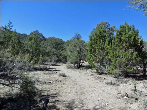
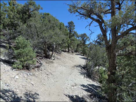
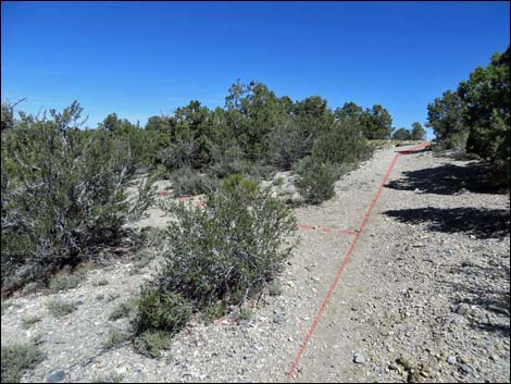
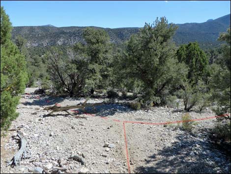
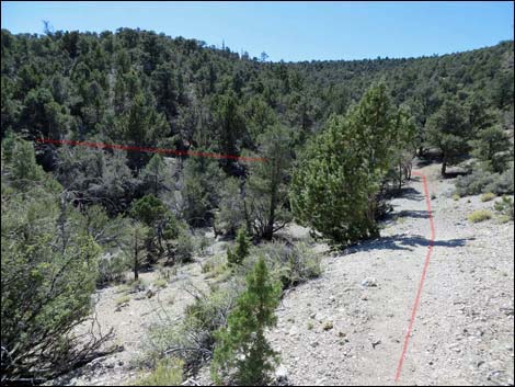
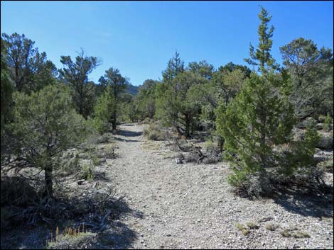
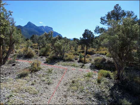
 Trail junction -- stay left (view N; Wpt 04) |
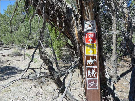
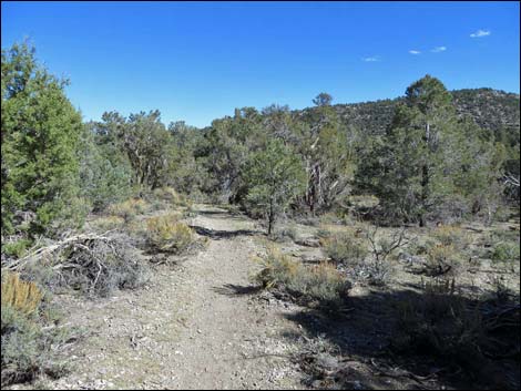
The Hike From the upper trailhead (Table 1, Waypoint 01) near the restrooms, the trail heads northwest past a carsonite trail sign and through a gap in the pole fence. After what seems like only a few steps (about 50 yards), the trail reaches a junction (Wpt. 02) where the loop starts. Because the trail is a loop, hikers can continue in either direction, but the hike is described as staying to the left (straight). Continuing northwest, the trail runs out a bit farther, then bends to the left to run south at a bit of a grade. The trail eventually bends (Wpt. 03) back to the north as it drops gradually across the slopes into a broad wash and another trail junction (Wpt. 04). There are several carsonite signs, but none with trail names. At this fork (Wpt. 04), the Big Sawmill Loop bends left (straight) onto the Mud Springs Loop Trail and winds up the gentle slope following a wash. After passing an unusually low-elevation Ponderosa Pine, the trail bends right, crosses the wash (Wpt. 10), and curves right to angle up and across a steep slope. |
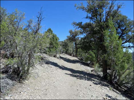
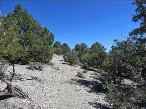
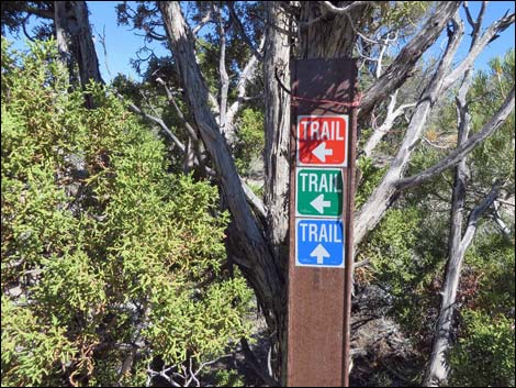
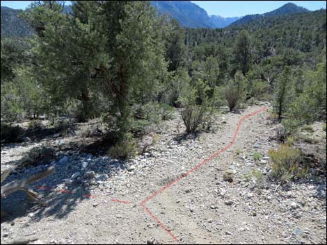
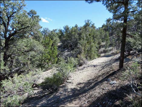
 Passing sign on tree, trail climbs gentle slope (view NW) |
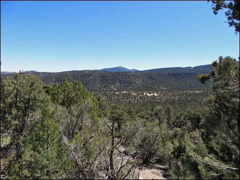
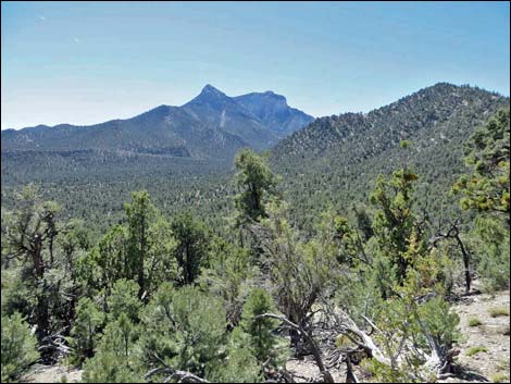
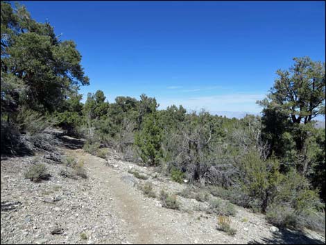
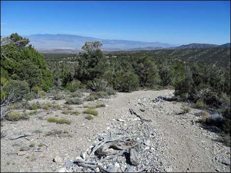
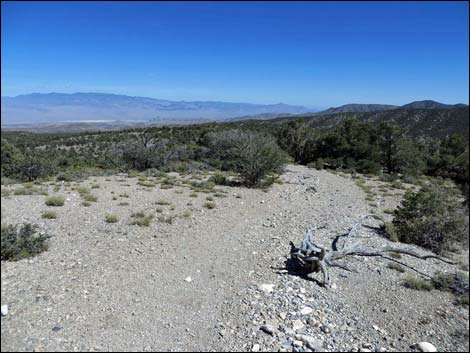
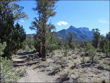
At the top of the slope, the trail climbs onto a ridge with some open areas that provide great views to the south and southwest (towards Mummy Mountain). After passing a bit of a highpoint on the left, the trail arrives at a trail junction (Wpt. 11) where the Mud Springs Loop Trail splits. Staying right along the top of the ridge, the trail winds over a highpoint and then begins a long, gradual descent along the ridgeline. This ridge is high and dry compared to the slopes below, and here the trees are short and well spaced. While there is little shade, the views are surprisingly good with McFarland Peak to the northwest, the Nevada National Security Site to the north, and the Sheep Range to the east. The trail runs down the northwest side of the ridge, then makes an odd jog across the ridge to the east, before reaching yet another trail junction (Wpt. 12). Here, the combined Mud Springs Loop Trail and Pinyon Pine Loop stay to the left (downhill), while the Big Sawmill Loop turns stays right on the Pinyon Pine Loop (straight; uphill). |
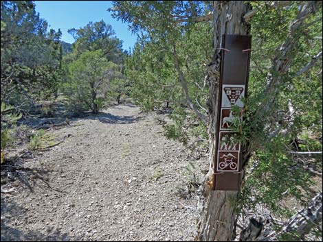
 Carsonite sign on tree (view NW) |
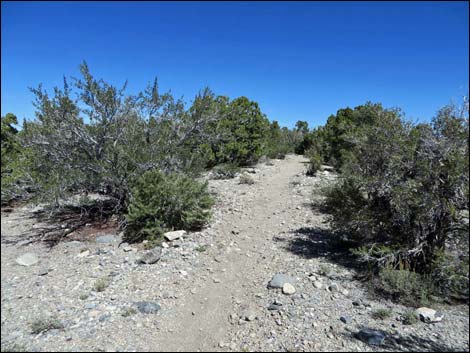
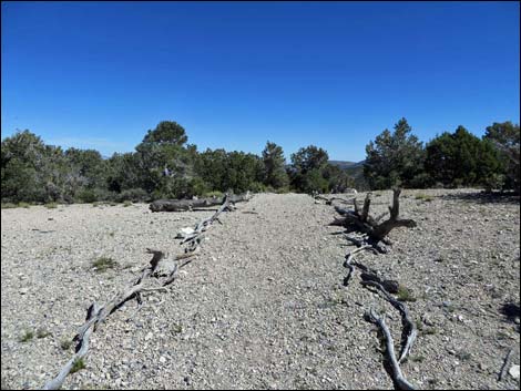
Following the trail right, the Big Sawmill Loop bends east and crosses the top of a broad, open ridge on what is now an old road. The trail is lined with tree branches to help keep people on the designated trail and to reduce off-trail trampling. Across the ridge, the old road-trail steeply descends the hillside, and it becomes apparent why land managers want the road closed. After sliding down the trail and passing an oddly placed old trail sign, the Big Sawmill Loop arrives at another trail junction (Wpt. 13). Amid a plethora of carsonite trail signs (this is a 5-way intersection), the Big Sawmill Loop turns right to run southwest across the slope. The trail more-or-less follows the contour southwest, then southeast, then south into the bottom of a broad valley, then bends southwest to follow the valley floor uphill at moderate grades. After climbing two switchbacks, the trail arrives at yet another trail junction (Wpt. 05), again with carsonite signs but no trail names. |
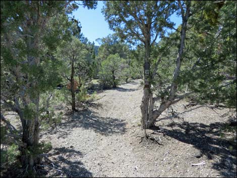
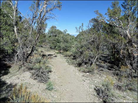
 Trail winds up gentle slope (view NW) |
Turning left (downhill), the Big Sawmill Trail follows the Sawmill Loop Trail south across the sidehill, then bends left to head east down the gentle hillside into another trail junction (Wpt. 06). Here, hikers can continue straight to end the hike in the Lower Sawmill (horse) area, or they can turn right and return to the Upper Sawmill Picnic area. Turning right, the trail gradually descends to cross a wash, then continues up across the adjacent gentle slopes where the Picnic Area can be seen through the trees on the left. The trail continues generally southwest to the final trail junction (Wpt. 02), where the hike closes the loop. Turning left at this T-intersection, the trail runs east a few moments to the trailhead (Wpt. 01), thus ending the hike. |
 Trail winds up gentle slope (view NW) |
 Notice the low-elevation Ponderosa Pine |
 Trail crosses wash and starts up across hillside (view N; Wpt. 10) |
 Trail climbs up and across hillside (view N) |
 Trail climbs up and across hillside (view N) |
 Open ridgeline (view SE) |
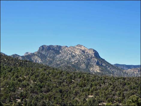
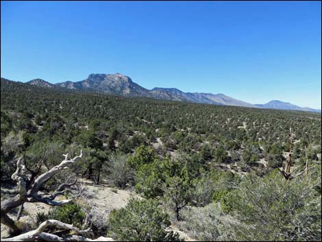
 Open ridgeline (view SW towards Mummy Mountain) |
 Approaching trail junction (Wpt. 11) |
 Trail junction (Wpt. 11) |
 Trail winds along ridgeline (view NE) |
 Trail winds along ridgeline (view N) |
 Trail winds along open ridgeline (view N) |
 Trail winds along open ridgeline (view N) |
 Short trees and shrubs along dry ridgeline (view N) |
 Open ridgeline (view SW towards McFarland Peak |
 Trail gently descends open ridgeline (view N) |
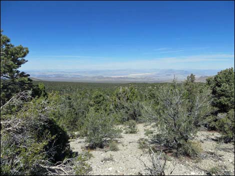 Grand view NE towards Nevada National Security Site |
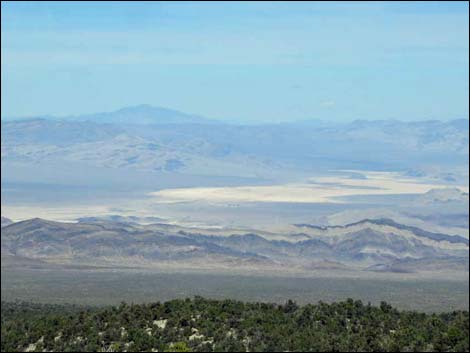 Dry lake on Nevada National Security Site (view NE) |
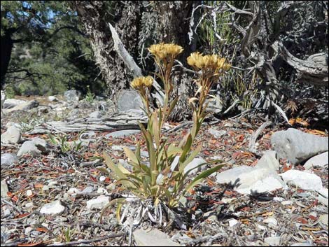 Rock Goldenrod at a low elevation |
 Trail gently descends open ridgeline (view N) |
 Grand NW view towards northern Spring Mountains |
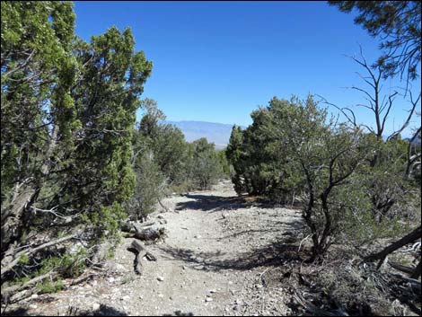
 Trail bends to the right (view N) |
 Approaching a trail junction |
 Trail junction (Wpt. 12) |
 Carsonite sign at trail junction (Wpt. 12) |
 Trail junction (Wpt. 12) |
 Trail crosses open ridge (view E) |
 Trail steeply descends slope on old road (view E) |
 Trail steeply descends slope on old road (view E) |
 Trail odd sign on old road (view SE) |
 Nobody's home (view NW) |
 Five-way trail junction (Wpt. 13) |
 Loop trail turns right (view W; Wpt. 13) |
 One of many carsonite signs (view W; Wpt. 13) |
 Trail contours across hillside (view SW) |
 Trail contours across hillsides (view SW) |
 Trail contours across hillsides (view SE) |
 Trail contours down across hillsides (view S) |
 Trail climbs gentle slope (view S) |
 Trail climbs gentle slope (view SW) |
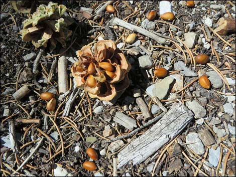 Bountiful crop of pine nuts |
 Trail junction (view SE; Wpt. 05) |
 Carsonite trail junction sign (Wpt. 05) |
 Trail departing junction downhill (view S) |
 Carsonite trail junction sign on tree (Wpt. 05) |
 Pinyon Pine and Mountain Mahogany thickets along trail (view S) |
 Open Pine and sagebrush area (view SE) |
 Crossing gentle slopes (view E) |
 Crossing gentle slopes (view E) |
 Approaching trail junction (view E; Wpt. 6) |
 Trail junction (view SW; Wpt. 6) |
 Sign at trail junction (view SW; Wpt. 6) |
 Crossing gentle slopes (view SW) |
 Crossing gentle slopes (view SW) |
 Crossing gentle slopes; watch for picnic tables on the left (view SW) |
 Trail junction -- closing the loop (view SW; Wpt. 02) |
 Approaching trailhead (view E) |
 Arriving at the trailhead (view E) |
Table 2. Hiking Coordinates Based on GPS Data (NAD27; UTM Zone 11S). Download Hiking GPS Waypoints (*.gpx) file.
| Wpt. | Location | UTM Easting | UTM Northing | Elevation (ft) | Point-to-Point Distance (mi) | Cumulative Distance (mi) | Verified |
|---|---|---|---|---|---|---|---|
| 01 | Sawmill Trailhead | 621985 | 4023976 | 7,591 | 0.00 | 0.00 | GPS |
| 02 | Trail Junction | 621948 | 4023991 | 7,589 | 0.03 | 0.03 | GPS |
| 03 | South-most Point | 621644 | 4023727 | 7,688 | 0.33 | 0.36 | GPS |
| 04 | Trail Junction | 621664 | 4024228 | 7,667 | 0.35 | 0.71 | GPS |
| 10 | Turn out of Wash | 621393 | 4024316 | 7,757 | 0.21 | 0.92 | GPS |
| 11 | Trail Junction | 621609 | 4024436 | 7,829 | 0.16 | 1.08 | GPS |
| 12 | Trail Junction | 621916 | 4025168 | 7,654 | 0.66 | 1.74 | GPS |
| 13 | Trail Junction | 622156 | 4025080 | 7,553 | 0.19 | 1.93 | GPS |
| 05 | Trail Junction | 621861 | 4024286 | 7,657 | 0.92 | 2.85 | GPS |
| 06 | Trail Junction | 622074 | 4024204 | 7,593 | 0.25 | 3.10 | GPS |
| 02 | Trail Junction | 621948 | 4023991 | 7,589 | 0.18 | 3.28 | GPS |
| 01 | Sawmill Trailhead | 621985 | 4023976 | 7,591 | 0.03 | 3.31 | GPS |
Happy Hiking! All distances, elevations, and other facts are approximate.
![]() ; Last updated 170721
; Last updated 170721
| Hiking Around Mt Charleston | Hiking Around Las Vegas | Glossary | Copyright, Conditions, Disclaimer | Home |