Backroads Around Las Vegas, Red Rock Canyon NCA, Spring Mountains NRA
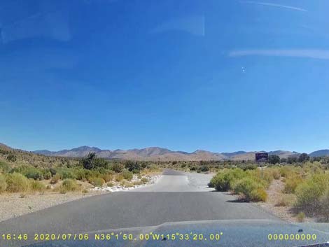
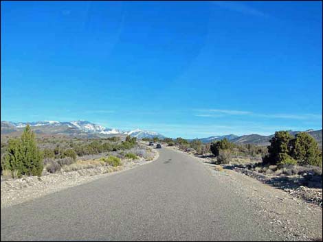
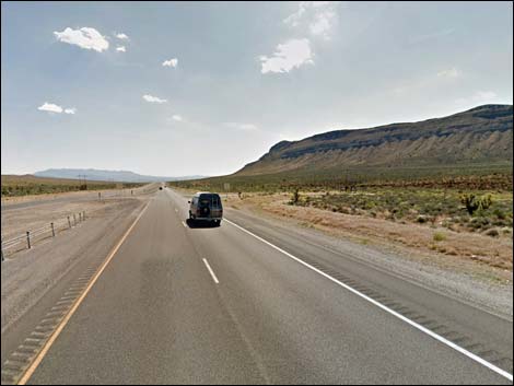 Highway 160, approaching Lovell Canyon Road (view W) |
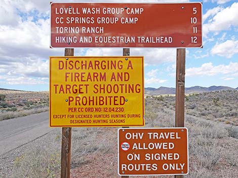
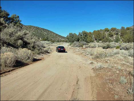
Overview Lovell Canyon Road is a little-used, paved backcountry road that runs north from Highway 160 (the road to Pahrump) into the wild backcountry of Red Rock Canyon National Conservation Area (BLM land) and the Spring Mountains National Recreation Area (USFS land). The road provides access to hikes on the backside of the Red Rocks Escarpment, Rocky Gap Road (aka Potato Road), Lovell Summit Road (Lovell Canyon Trailhead), and the Torino Ranch for critically ill and at-risk children. Lovell Canyon Road is 11 miles long, and runs along the west edge of the Rainbow Mountain Wilderness Area and the La Madre Mountain Wilderness Area. There are nice campsites along the road, and this is a favorite area for illegal target shooting. Included here are the first 0.4 miles of Lovell Summit Road leading from Lovell Canyon Road to Lovell Canyon Trailhead. Link to map. |
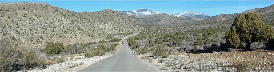
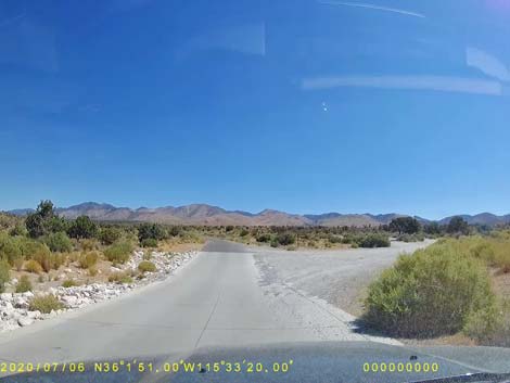
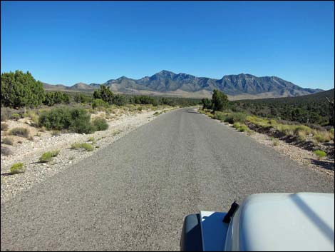
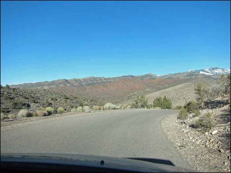
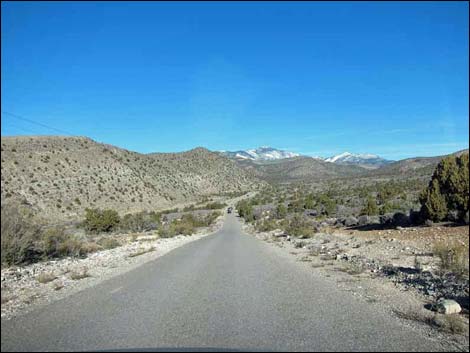
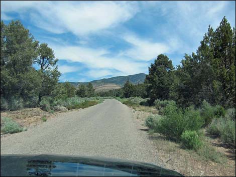
 Lovell Canyon Road (view N from Highway 160) |
Watch Out Other than the standard warnings about driving in the desert, ...this is a fairly safe drive. Under normal conditions, the road is suitable for any sedan, but sometimes the road is washed out and requires a high-clearance vehicle. During 2016 and 2017, the traditional shooting areas along the road are closed. However, if you hear people shooting guns, even 50-caliber machine guns, stay on the pavement until you are sure where they are aiming. While out, please respect the land and the other people out there, and try to Leave No Trace of your passage. Also, even though this road is short and close to town, be sure to bring what you need of the 10 Essentials. |
 Lovell Canyon Road (view N from Highway 160) |
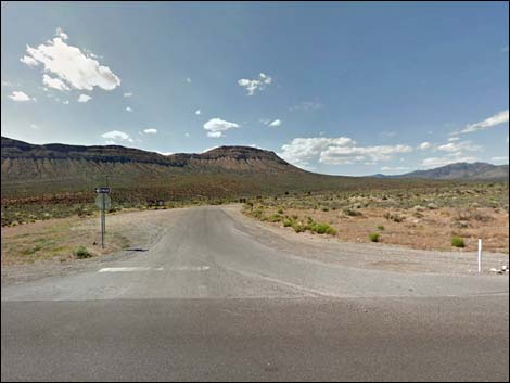
Getting to the Roadhead This road is located off Highway 160 west of the town of Mountain Springs, about 45 minutes southwest of Las Vegas. From downtown, drive south on Interstate-15 to Highway 160. Exit onto Highway 160 west, towards Pahrump, and drive west out of town and over the mountains. About 3 miles west of Mountain Spring Summit, watch for highway signs and a right turn onto Lovell Canyon Road. |
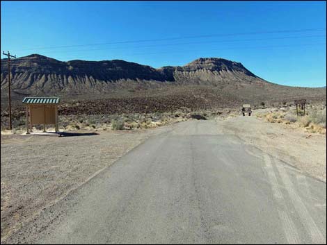
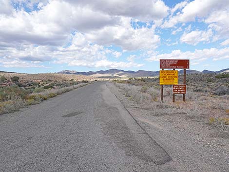 Road signs (view N) |
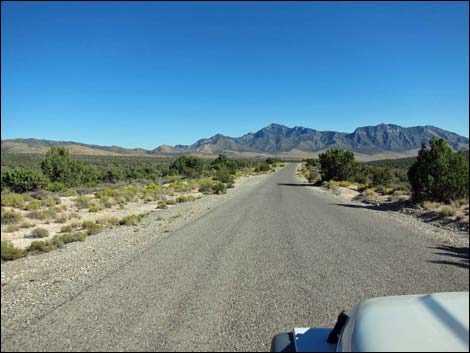
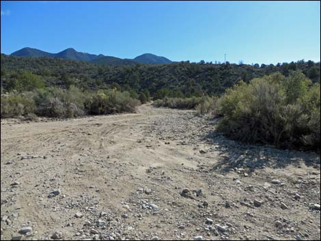
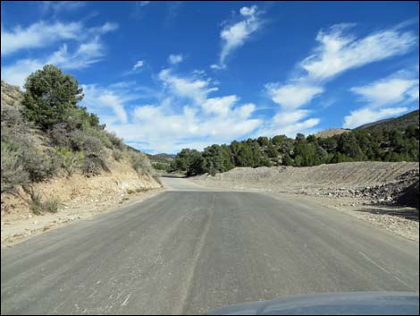
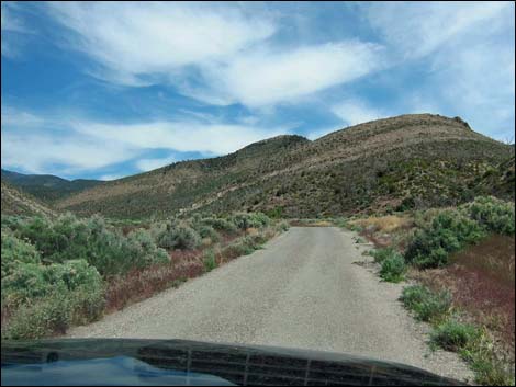
The Road From Highway 160 (Table 1, Site 1013), Lovell Canyon Road runs north across fairly open desert flats. The road was repaved recently and is in fairly good condition. Vegetation along this part of the road includes Singleleaf Pinyon, Utah Juniper (Pinyon-Juniper Woodland habitat type), blackbrush, rabbitbrush, sagebrush, and many other species typical of middle-elevation desert mountains. At about 1.0 miles out, the dirt Rainbow Spring Road (Site 1014) branches off to the east. There are several campsites up Rainbow Spring Road within 1/2 miles of the pavement. This road runs east to Rainbow and Bootleg springs, and the trailhead for Little Zion and the top of the Red Rock Escarpment. |
 Road signs (view N) |
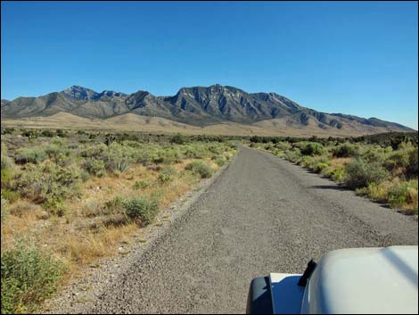
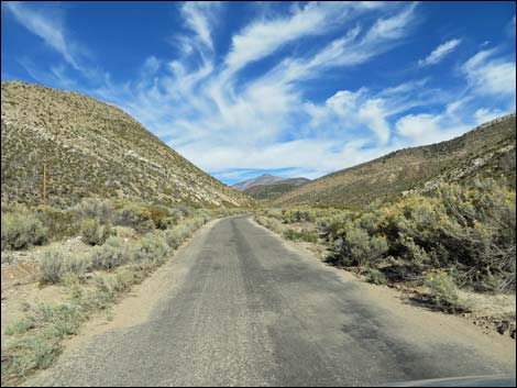
Along the southern part of the road, the landscape is wide with grand views to the north of Mt. Charleston and to the west of colorful ridges. To the east, rounded hills covered in trees hide the fact of the Red Rock Escarpment just out of view over the ridge. At about 4.5 miles out, the road turns hard to the right and winds down a long hill that provides a nice overview of the landscape ahead. Don't drive too fast around the curve or you might get a really good overview. At about 7.5 miles out, the dirt Rocky Gap Road (Site 1077) branches off to the east. This is an extreme 4WD road that crosses the mountains and runs down into Willow Springs Picnic Area along the Red Rock Canyon Scenic Loop Road. |
 |
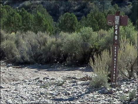
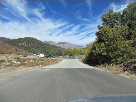
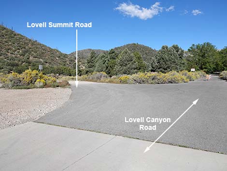
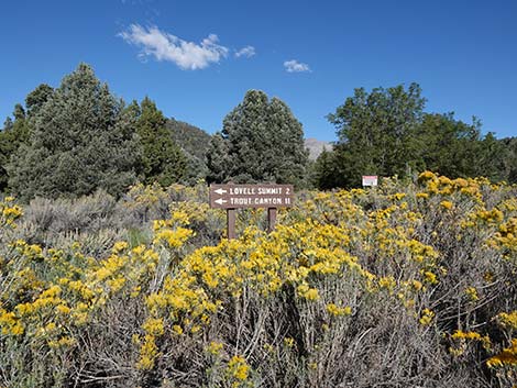
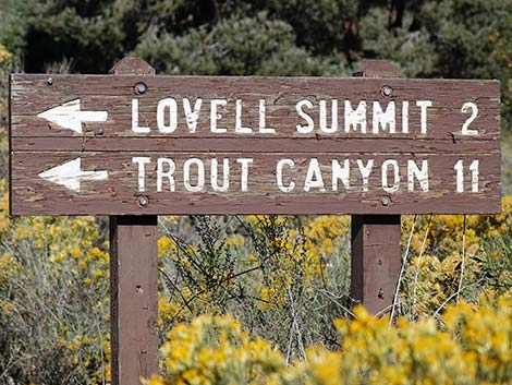
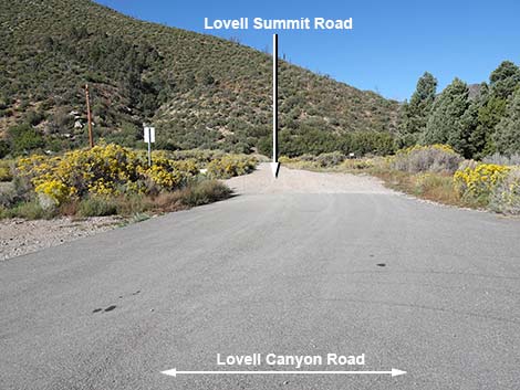
Beyond the turn to Rocky Gap Road, the canyon narrows and the road is more likely to be washed out after storms, but the road is paved and maintained. At 11.0 miles out, the Lovell Summit Road (Site 1078) branches off to the left. This road runs west, passing Lovell Canyon Trailhead (0.4 miles from the pavement), Cave Spring, Lovell Summit, and Coal Spring before intersecting Trout Canyon Road (Site 1079; about 10.2 miles from the pavement). Turning left onto Trout Canyon Road, the road runs west 7.2 miles and descends from the mountains back to Highway 160 (Site 1080). Staying on Lovell Canyon Road a few yards past Lovell Summit Road, the public road ends at the Torino Ranch gate and stop sign. |
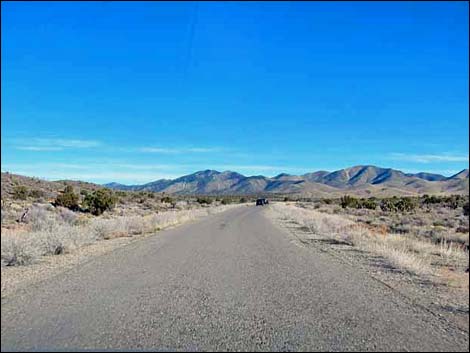
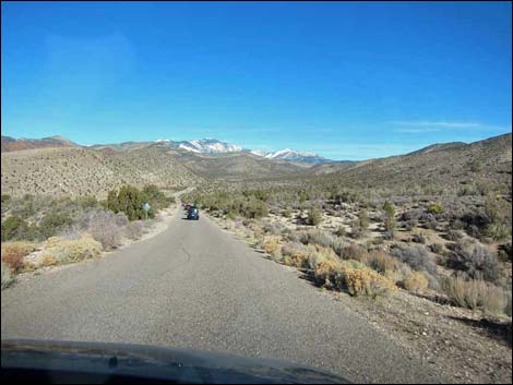
 Lovell Canyon Road (view N) |
 Lovell Canyon Road approaching Rainbow Spring Road (view N) |
 Lovell Canyon Road at Rainbow Spring Road (view N) |
 Lovell Canyon Road (view N) |
 |
 |
 |
 |
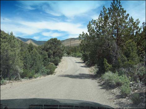
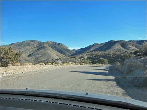 Descending fairly steep and winding road (view NE) |
 Descending fairly steep and winding road (view NE) |
 5.1 miles out; well maintained pavement |
 5.2 miles out; gravel across the paved road |
 |
 |
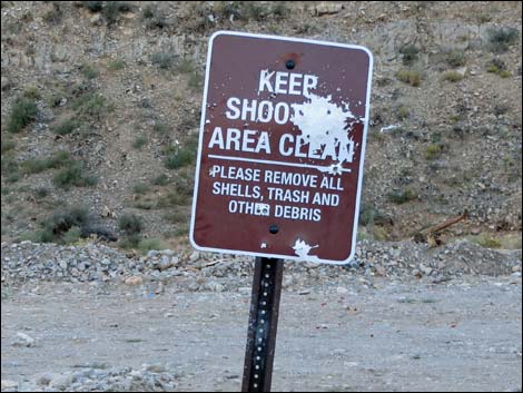 Several popular shooting areas (closed during 2016-17) |
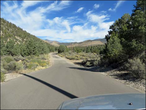
 Lovell Canyon Road (view N) |
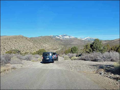
 Lovell Canyon Road at Rocky Gap Road (view N; 7.5 miles out) |
 Rocky Gap Road (view E from Lovell Canyon Road) |
 Rocky Gap Road sign (view E) |
 8.0 miles out; flooding can put considerable mud on the road |
 8.0 miles out; road cleaned after flooding |
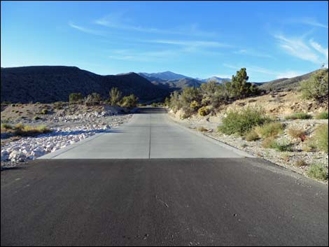
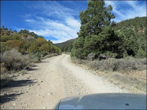
 Lovell Canyon Road (view N) |
 |
 |
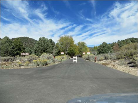
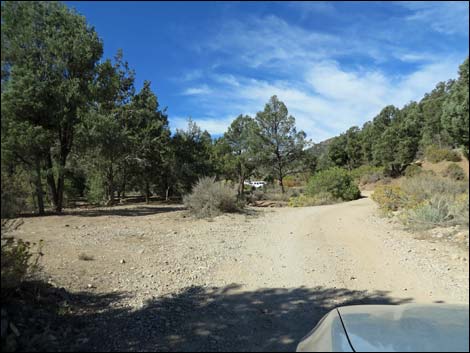
 Lovell Canyon Road approaching CC Springs Group Camp (view N) |
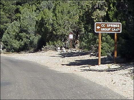 Highway sign for CC Springs Group Camp (view N) |
 |
 |
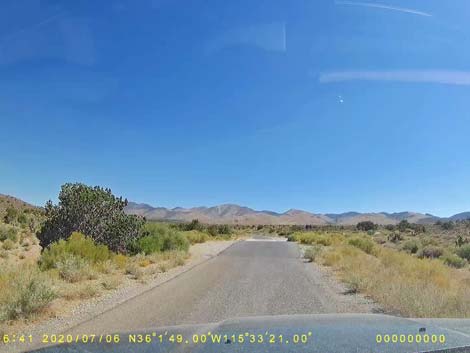
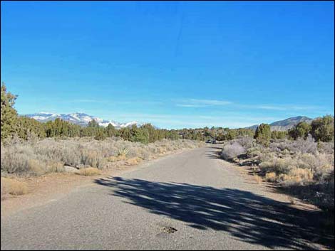
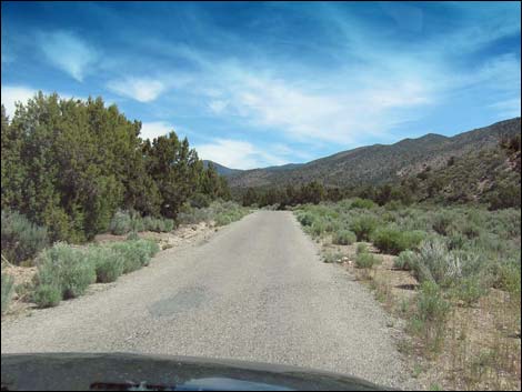
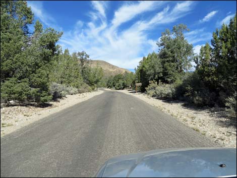
 Lovell Canyon Road (view N) |
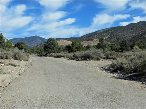
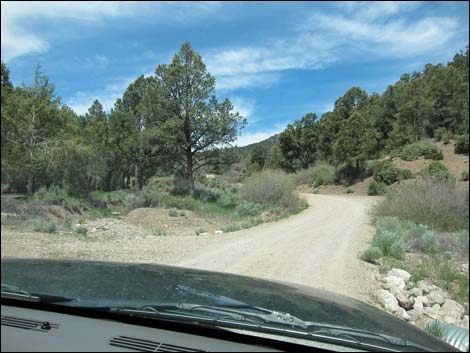
 Lovell Canyon Road approaching Lovell Summit Road (view N) |
 Lovell Canyon Road approaching Lovell Summit Road (view N) |
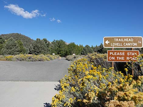 Directional sign in road edge bushes (view N) |
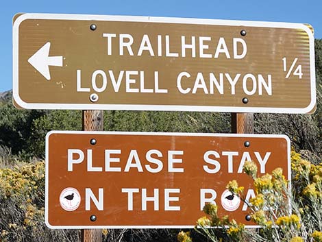 Directional sign (view N) |
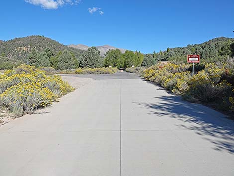
 Lovell Canyon Road at Lovell Summit Road (view N) |
 Old directional sign back in the bushes (view NW) |
 Old directional sign (view NW) |
 11.0 miles out; Torino Ranch Gate |
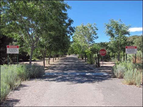 11.0 miles out; Torino Ranch Gate |
Lovell Summit Road
 Lovell Summit Road (view W from Lovell Canyon Road) |
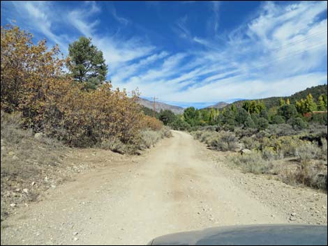 Lovell Summit Road (view NW) |
 |
 |
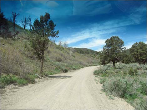
 Lovell Summit Road (view NW) |
 Lovell Summit Road at campsite road (view NW) |
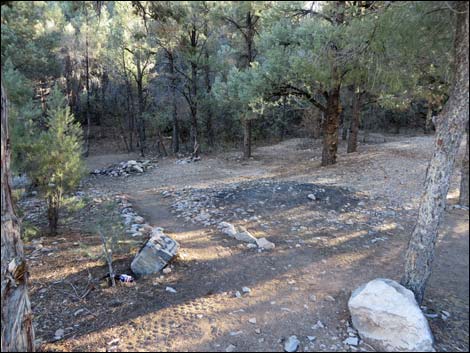 Campsite (view SW) |
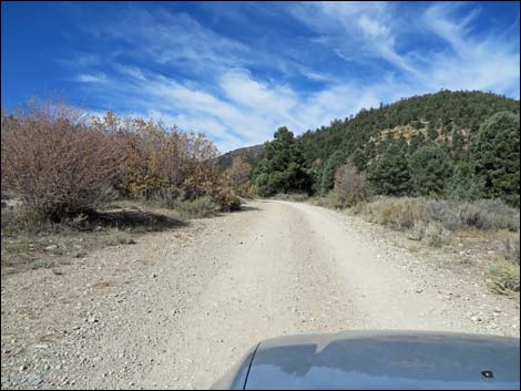
 Lovell Summit Road (view NW) |
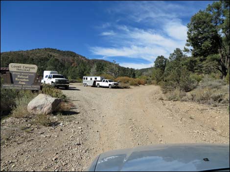 Lovell Summit Road approaching Lovell Canyon Trailhead (view W) |
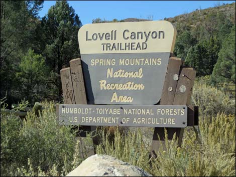 Lovell Canyon Trailhead sign (view SW) |
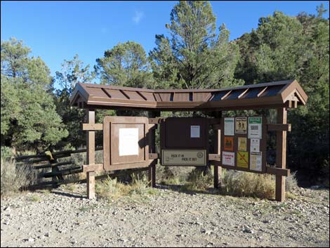 Lovell Canyon Trailhead information signs (view S) |
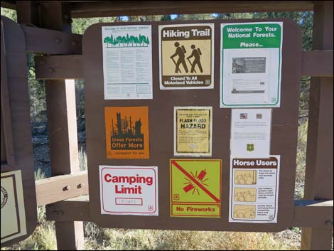 Lovell Canyon Trailhead information (view S) |
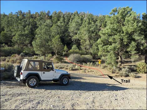 Lovell Canyon Trailhead parking (view N) |
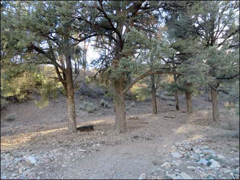 Campsite just up Lovell Summit Road from trailhead (view SW) |
Table 1. Backroad Coordinates (NAD27; UTM Zone 11S). Download Roadway GPS Waypoints (*.gpx) file.
| Wpt. | Location | Latitude (N) | Longitude (W) | Elevation (ft) | Point-to-Point Distance (mi) | Cumulative Distance (mi) | Verified |
|---|---|---|---|---|---|---|---|
| 1013 | Hwy 160 at Lovell Canyon Rd | 36.01833 | 115.56049 | 4,643 | 0.00 | 0.00 | Yes |
| 1014 | Lovell Cyn Rd at Rainbow Spring Rd | 36.03124 | 115.55451 | 4,825 | 0.99 | 0.99 | Yes |
| 1077 | Lovell Cyn Rd at Rocky Gap Rd | 36.11763 | 115.57158 | 5,331 | 6.53 | 7.52 | Yes |
| 1078 | Lovell Cyn Rd at Lovell Summit Rd | 36.16588 | 115.57641 | 5,929 | 3.50 | 11.02 | Yes |
| 1160 | Lovell Canyon Trailhead | 36.16649 | 115.58231 | 5,929 | 0.38 | 11.40 | Yes |
| 1079 | Lovell Summit Rd at Trout Cyn Rd | 36.14753 | 115.72766 | 4,663 | . | . | Yes |
| 1080 | Hwy 160 at Trout Canyon Rd | 36.12245 | 115.84842 | 3,203 | . | . | Yes |
Happy Hiking! All distances, elevations, and other facts are approximate.
![]() ; Last updated 240330
; Last updated 240330
| Backroads | Hiking Around Las Vegas | Glossary | Copyright, Conditions, Disclaimer | Home |