Southern Nevada Wilderness Areas
 |
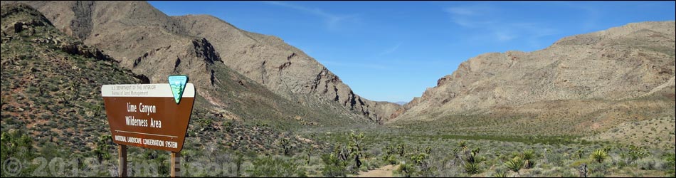
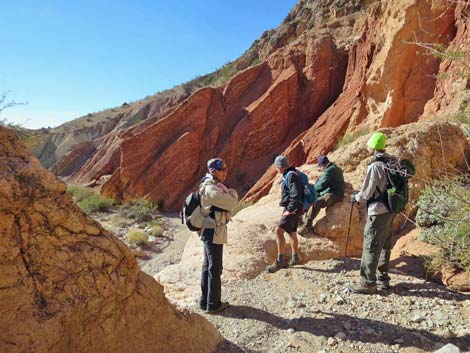
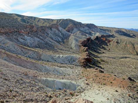
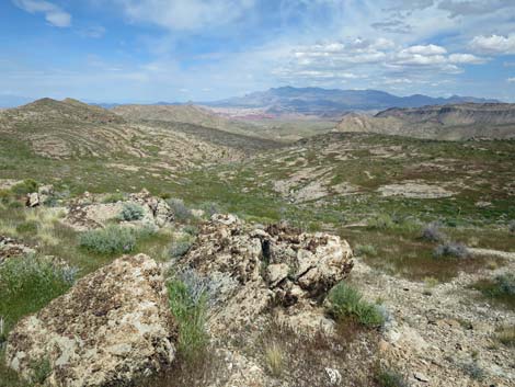
Overview Lime Canyon is a medium sized (23,233 acres) wilderness area that includes a long, disjointed, and sparsely vegetated carbonate ridge (or system of parallel ridges) with elevations to 4,406 feet, deep canyons that cut through the ridges, and desert bajadas that overlook the Overton Arm of Lake Mead (elevations to 1,475 feet). The geology of the area is complex, but the main feature is the system of ridges that was caused by the tilting and uplifting of early carbonate sedimentary rocks. The uplift blocked existing drainage systems and probably formed lakes, but new drainages were formed that cut through the ridge, making for deep, narrow canyons and some odd geologic structures and stream-capture events. If you hike in wilderness areas, help protect them by learning about and reporting noxious and invasive weeds. Link
to map of the wilderness area. |
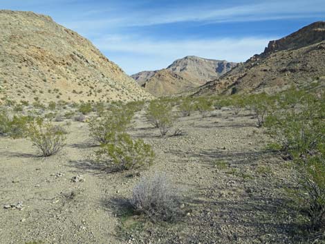 |
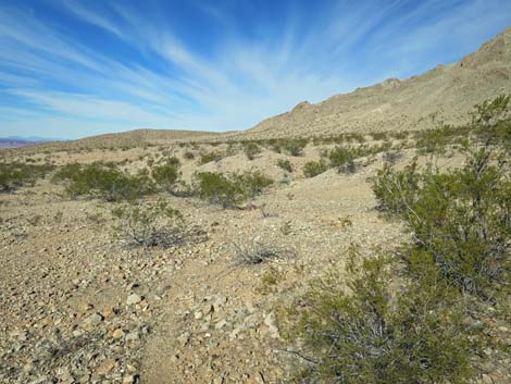
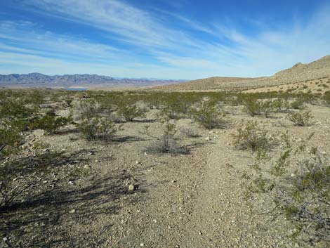
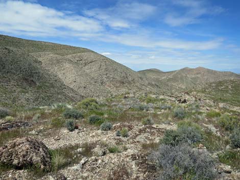
The ridges are rocky and sparsely vegetated with a variety of Mojave Desert Scrub species that include creosote bush, catclaw acacia, Mojave yucca, Nevada jointfir, several species of buckwheat, a few cacti (e.g., beavertail and hedgehog cactus). Barrel cactus dot the more rocky slopes. In the canyons, the dominant shrubs include rabbitbrush, catclaw acacia, desert willow, honey mesquite, and buckhorn cholla. There are lots of cryptobiotic crusts along the edges of washes. Location This wilderness area is located about 45 air-miles east of Las Vegas, out in the Gold Butte region north of Lake Mead and east of the Overton Arm. |
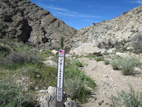 |
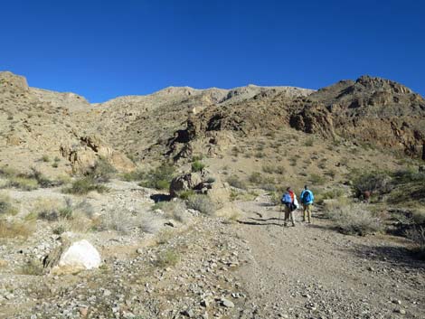
Boundaries Western boundary is coincident with the boundary of Lake Mead National Recreation Area. The eastern boundary generally follows the base of Lime ridge, which is similar to the Red Bluff Spring Backcountry Byway Road. The southern boundary runs north of Quail Spring Wash Road. The northern boundary runs along the base of Lime Ridge. Access Access is from Red Bluff Spring Road, which is a fairly rough dirt road. This road is part of the Gold Butte Backcountry Byway and requires at least a medium-clearance vehicle. |
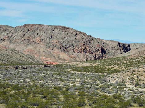 |
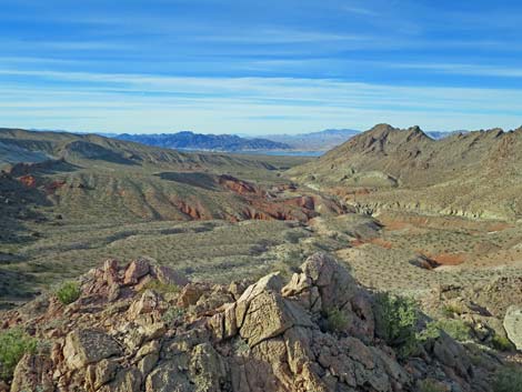
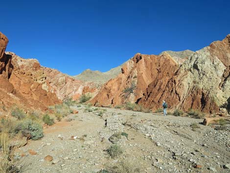
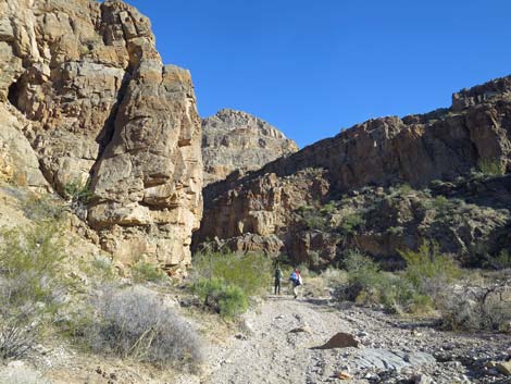
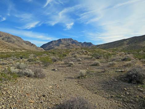
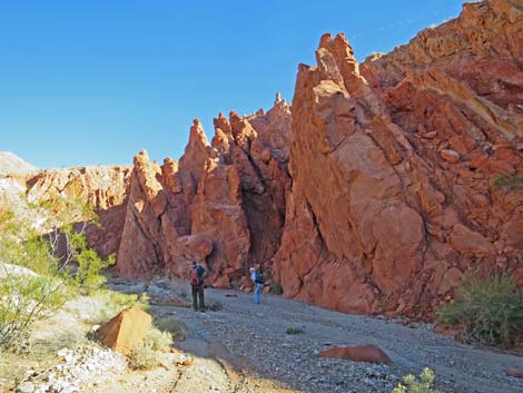
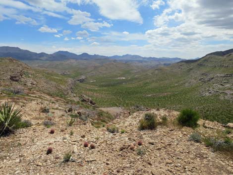
Terrain The wilderness Area is dominated by Lime Ridge, a series of ridges orientated north-south. The ridge is cut by rugged drainages, and there are gently rolling hills, narrow canyons, and several sandy washes. Faulting and erosion have exposed a variety of sedimentary deposits in the area. The highest elevation of 4,406 feet is at the south end of Lime Ridge, and the lowest elevations on are the bajadas on the northwest edge of the wilderness area. Habitat Type The vegetation is entirely Mojave Desert Scrub, dominated by creosote bush and white bursage, other low-elevation desert shrubs, Joshua trees, Mojave yuccas, and cacti. In the washes, the vegetation is diverse, with dominant species including catclaw acacia, desert willow, arrowweed, Nevada jointfir, desert almond, paperbag bush, indigo bush, buckhorn cholla, and a variety of composites. Where there are rocky slopes between the wash and the cliffs, vegetation also includes Joshua trees, Mojave yucca, mound cacti, and agave. |
 |
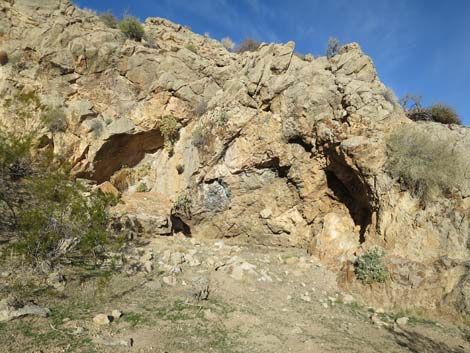
Wildlife Mammals include feral cows and burrows, white-tailed antelope squirrels, desert cottontail, black-tailed jackrabbit, and desert woodrats. Reptiles include desert tortoise and a variety of snakes and lizards. Bird include House Finch, Red-tailed Hawk, Common Raven, Black-tailed Gnatcatcher, Loggerhead Shrike, Northern Harrier, and Gambel's Quail. Archaeology No information, but one habitation site is known along Lime Wash. |
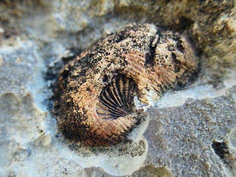 |
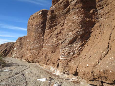
Geology The wilderness area is dominated by Lime Ridge, a ridge (or series of ridges) orientated north-south. Most of the area, including the Lime Ridge complex, is composed of older carbonate rocks (Cambrian through Pennsylvanian). However, there is an area of Precambrian metamorphic rocks in the southwestern part of the area (south of Lime Canyon), and there are more recent rocks, including rocks of Permian and Triassic age. The area is cut by several fault systems, resulting in a jumbled complex of rocks of differing ages. |
 |
 |
 |
 |
 |
 |
 |
 |
 |
 |
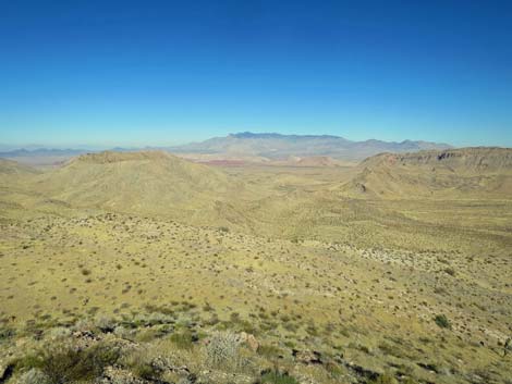
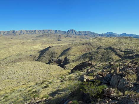
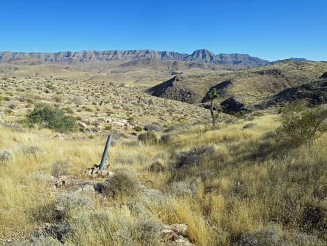
 High on the east side of Lime Ridge (view N) |
 High on the east side of Lime Ridge (view NE) |
 High on the east side of Lime Ridge (view S) |
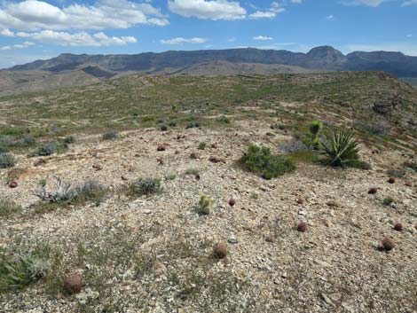 High on the east side of Lime Ridge (view E to Tramp Ridge) |
 High on the east side of Lime Ridge (view S) |
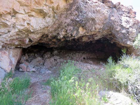 Possible habitation cave, now used by Desert Woodrats |
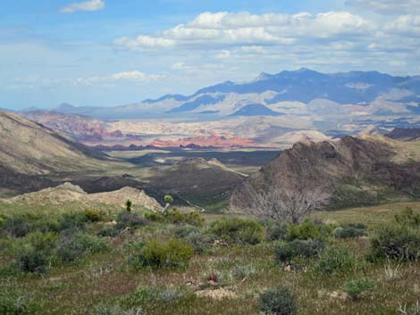
 Grand scenery (view N towards Virgin Peak) |
 Grand scenery (view E towards Tramp Ridge) |
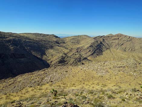 Grand scenery (view NW towards Sheep Range) |
 Grand scenery no longer marred by this mining claim marker |
Note: All distances, elevations, and other facts are approximate.
![]() ; Last updated 240331
; Last updated 240331
| Wilderness Areas | Hiking | Guide Services | Glossary | Copyright, Conditions, Disclaimer | Home |