Gold Butte National Monument -- Area Overview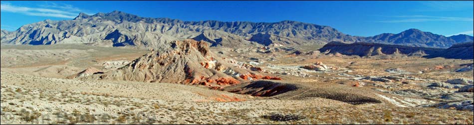 |
Many people worked for over 15 years to get the Gold Butte region permanently protected. |
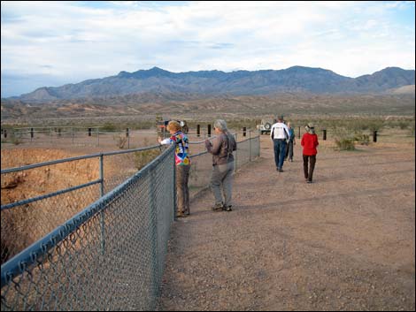
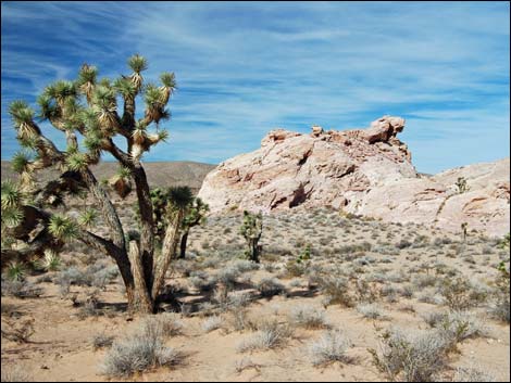
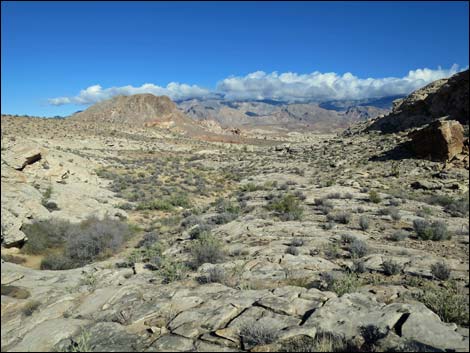
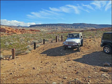
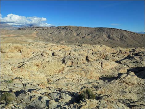
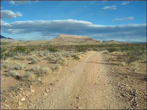
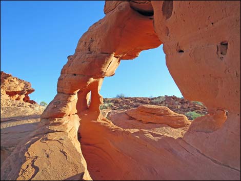
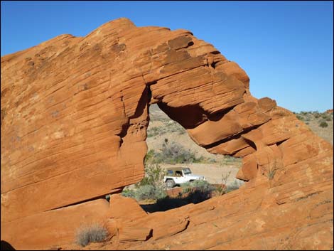
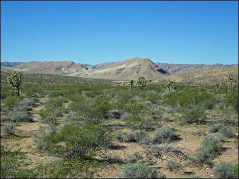
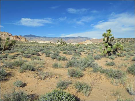
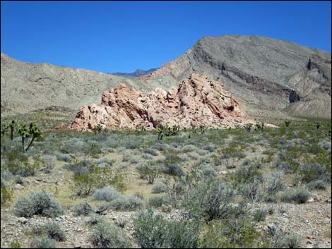
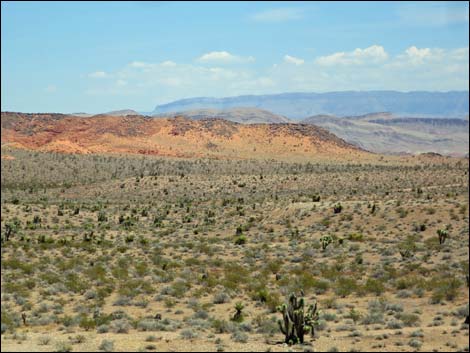
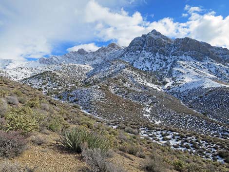
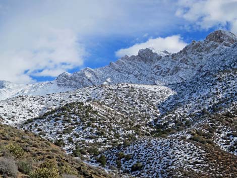
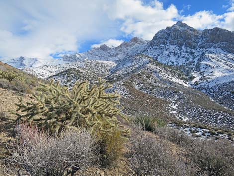
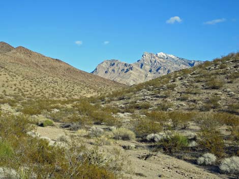
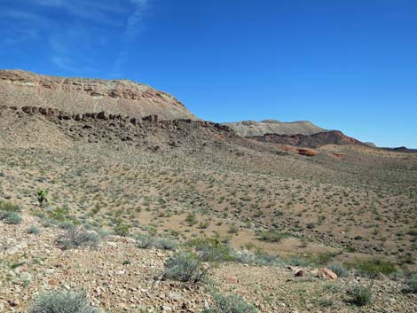
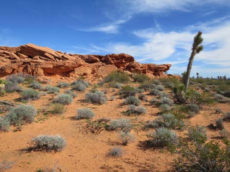
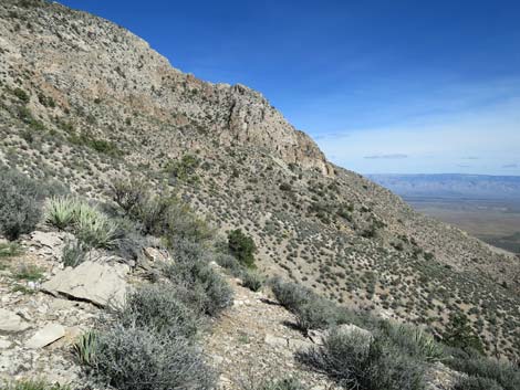
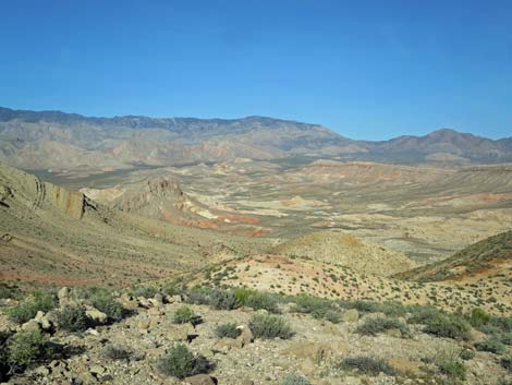
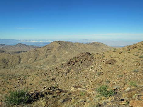
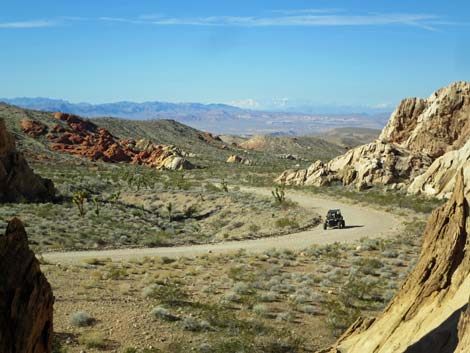
 Grand scenery and great roads in Gold Butte National Monument |
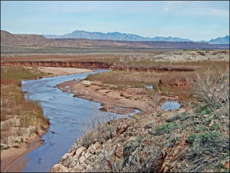
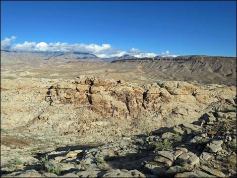
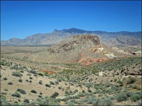
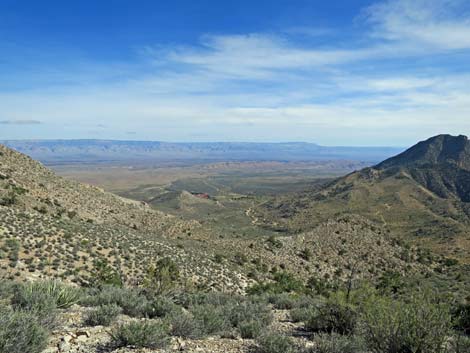
OVERVIEW Gold Butte National Monument, public lands similar to a National Park, was established in 2016 to create a 300,000 acre preserve that protects the landscape from development while also protecting Native American, ranching, and pioneer history while providing for recreational access. Gold Butte is wild and remote with high peaks, low valleys, grand views, lots of historical and pre-historical history, mixed up geology, fossil dinosaur tracks, and huge solitude. Gold Butte National Monument is embedded in the greater Gold Butte region, a area encompassing some 500,000-acres that is administered by the BLM and the U.S. National Park Service. The greater Gold Butte region is located about 2 hours east of Las Vegas: south of Mesquite, north of the Colorado River, east of the Virgin River and Overton Arm of Lake Mead, and west of the Arizona state line. Stop by the Friends of Gold Butte Visitor Center to learn more about the area. Link to hiking, camping, and driving adventures in Gold Butte or a map of the area. Link to Official Gold Butte boundary map (PDF, 0.9 MB). |
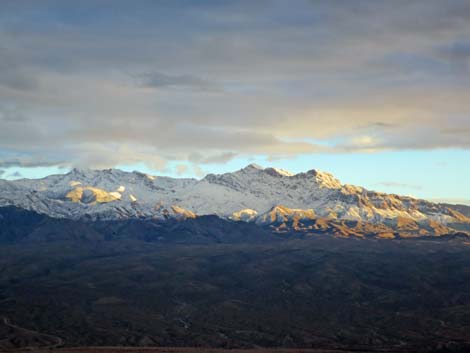
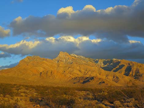
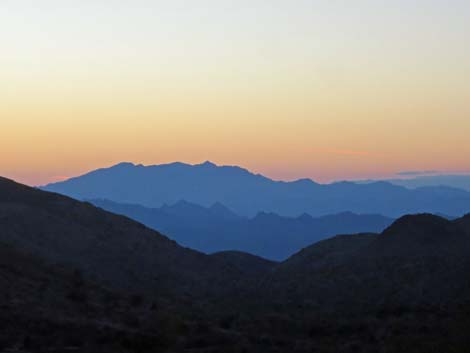 Mountain ranges at sunset |
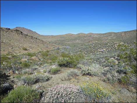
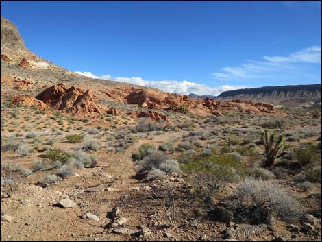
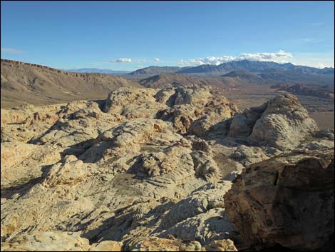
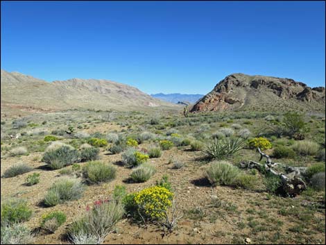
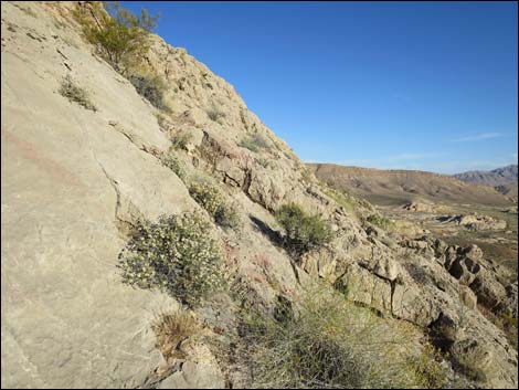
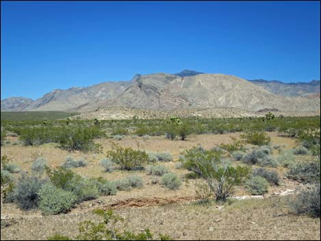
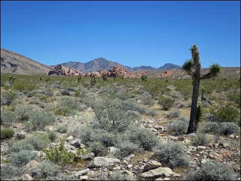
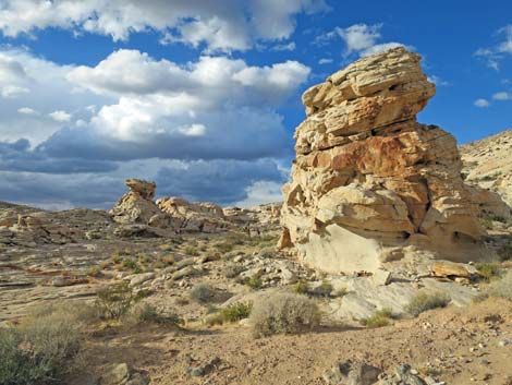
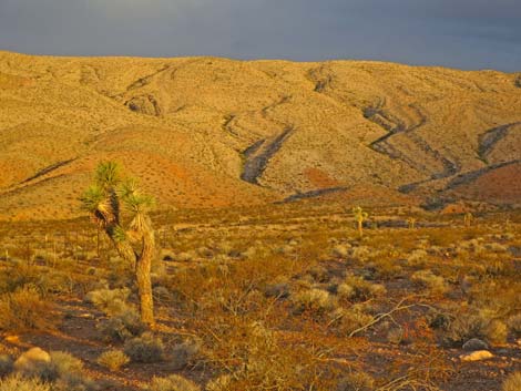
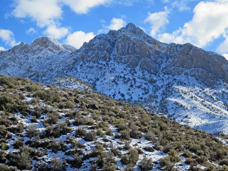
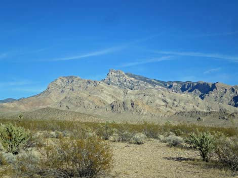
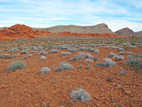
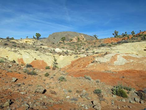
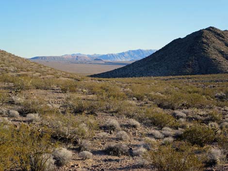
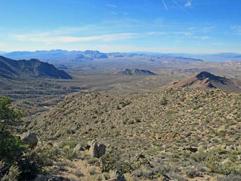
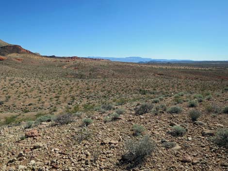
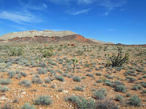
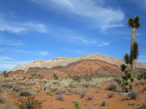
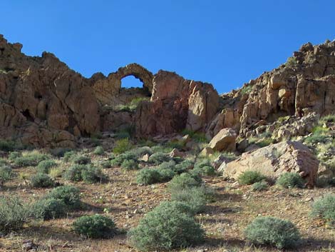
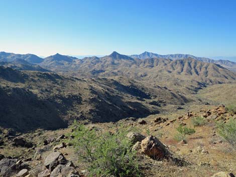
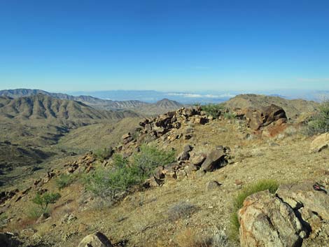
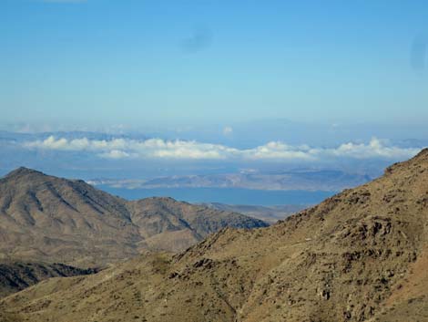
Popular activities in Gold Butte include hiking, horseback riding, driving on designated roads and trails, camping, sightseeing, and fishing along Lake Mead and in the Colorado River. The geology of this sandstone-limestone-granitic-metamorphic faulted-twisted-contorted-eroded land, while nearly impossible to comprehend in total, is stunningly stark and beautiful. Three major ecosystems (Mojave Desert, Great Basin Desert, and the Colorado Plateau) meet here, providing a varied and diverse flora and fauna. Much of Gold Butte is relatively low desert (the elevation of the lake surface is about 1,200 feet), and temperatures often are about 10 degrees higher at the lake than they are in Las Vegas. In these areas, dry-land activities generally are restricted to the cooler months (e.g., October through May). There are, however, higher mountains (to 8,100 ft) that provide a respite from the summer heat. As elsewhere in the desert, winters can bring snow and bitter cold temperatures. |
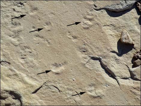
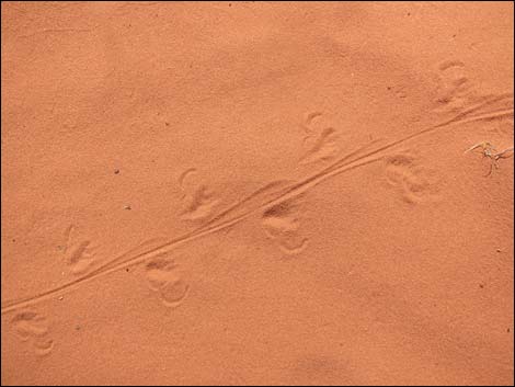
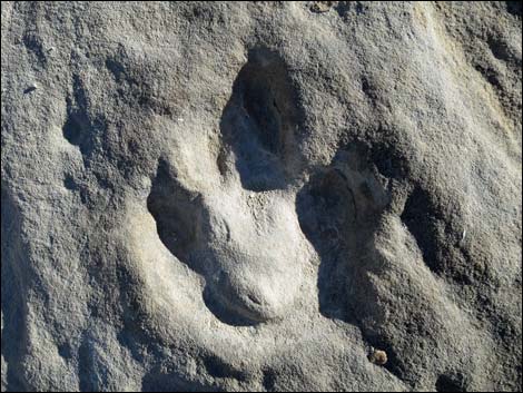 Dinosaur track in Gold Butte sandstone |
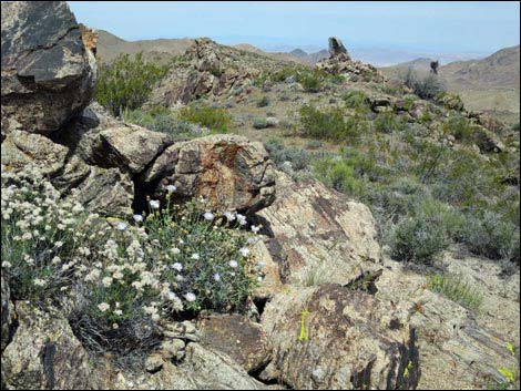
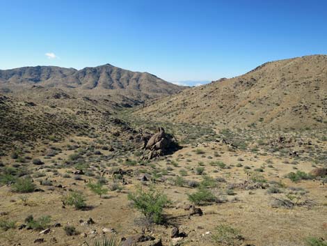
Gold Butte includes two designated wilderness areas: the Lime Canyon Wilderness Area (23,233 acres) and the Jumbo Springs Wilderness Area (4,631 acres) that were designated in 2002 under the Clark County Conservation of Public Land and Natural Resources Act of 2002 (Public Law 107-282). Several other parts of Gold Butte were considered for inclusion in wilderness areas. Over the years, the local community has come to understand the value of wilderness in preserving their own way of life. GETTING TO GOLD BUTTE This land is wild and remote, and it offers outstanding recreational experiences, but make no mistake: this is wild and remote country where visitors are on their own. Be prepared to take care of yourself. Gold Butte is located northeast of Las Vegas. To get there, drive north on Interstate-15 for about 70 miles to Exit 112 towards Riverside and Bunkerville (Table 1, Site 0684), which is about 5 miles before the town of Mesquite. Exit onto Highway 170 and drive south about 3 miles to the Virgin River Bridge. |
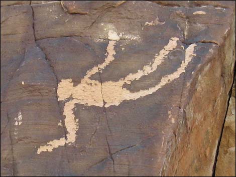 Falling Man Petroglyph: Amazing Native American petroglyph |
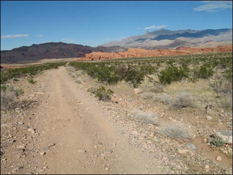
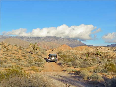
Cross the bridge and immediately take a hard right turn onto the unmarked, but paved Gold Butte Road (Site 0686). Watch for a sign to Meadowland Farm. Note that the slope of the road makes the turn look like a pullout rather than an intersection. Follow the paved Gold Butte Road southwest along the river about 6.5 miles until it abruptly bends (Site 0687) southeast and leaves the river. Stay on the rough paved road as it runs south towards the heart of Gold Butte. At 19.7 miles out, the unmarked Black Butte Road forks right just before a sandstone crag and runs southwest to the Falling Man area. Continuing on the Gold Butte Road, the pavement ends (21.1 miles out) at Whitney Pocket, a popular camping area. It takes about 2-1/2 hours to get to this point from Las Vegas, counting time to top-off the gas tank at Glendale. At Whitney Pocket, the unpaved Gold Butte Road forks (Site 0462) three ways. To the left, Arizona Road heads east, passes several campsites, and eventually climbs over the mountains into Arizona. To the right, a dirt road runs through a day-use parking area and down to a couple of campsites. The main road, now the unpaved Gold Butte Road, continues straight south. |
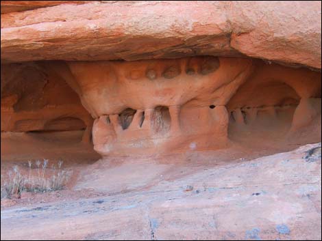
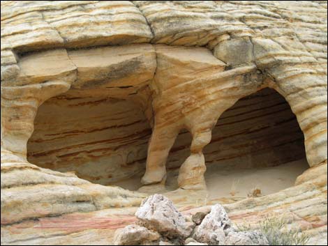 Eroded sandstone: natural rock art |
From Whitney Pocket, continuing south on the unpaved Gold Butte Road for 3.9 miles brings visitors to Mud Wash North Road (Site 1649) and the turnoff to Little Finland. At 7.0 miles out, the road passes Mud Wash Road (Site 0807), the turnoff to Devils Throat (take the time to see it; it's only 0.25 miles out). Both of these roads can be used as part of the Gold Butte Backcountry Byway. Continuing south on the unpaved Gold Butte Road, the main road stays right at St. Thomas Gap Road (9.0 miles out; Site 0796) and again at Devil's Cove Road (16.6 miles out; Site 0797). Continuing south on the unpaved Gold Butte Road, the main road eventually crosses a cattle guard at about 19.8 miles out that announces entry into the Gold Butte Townsite area. To the left, Voight Well Road loops into (Site 1650) and out of (Site 1651) this eastern section of the Townsite area. At about 20.2 miles out, the unpaved Gold Butte Road arrives at the first (Site 1648) of two roads left into the main Gold Butte Townsite area. |
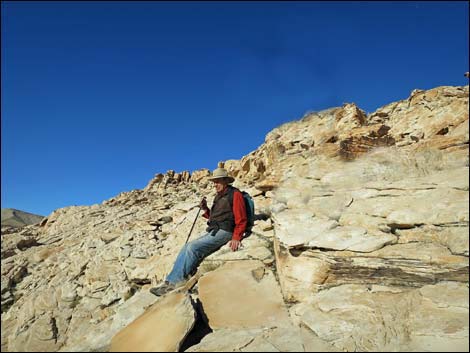
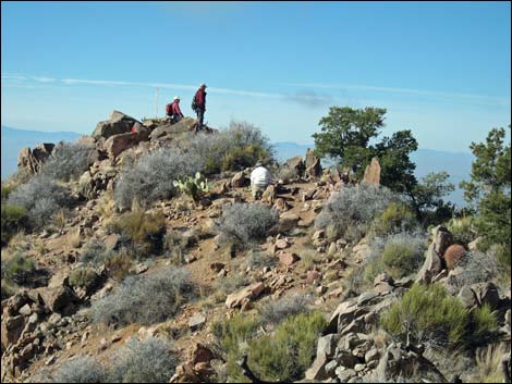 Hikers atop Billy Goat Peak |
In another 100 yards, the unpaved Gold Butte Road ends at a 4-way intersection (Site 0806). The left is the second turn into the main Gold Butte Townsite area. The right, Red Bluff Spring Road, runs north into the distance as part of the Gold Butte Backcountry Byway. The main road continues southwest as Scanlon Road, but it gets rough pretty quickly. HOURS Gold Butte is always open. There are no concessions in Gold Butte (i.e., no food, no marinas, no boat tours, no gasoline, no designated campgrounds, no nothing). ENTRANCE FEES None. |
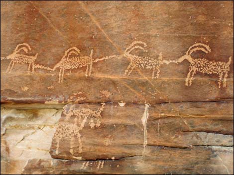 Small part of Twenty-one Goats petroglyph panel |
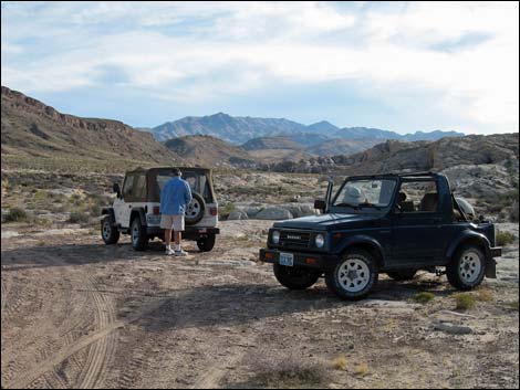
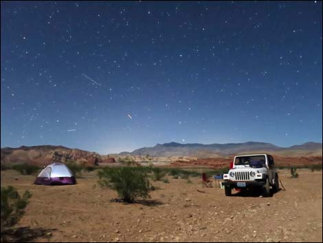
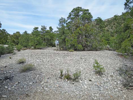
CAMPING Car camping in Gold Butte is unregulated, but be sure to choose an existing or low-impact site and practice your Leave-No-Trace skills. There are two popular camping areas at Gold Butte. The first is Whitney Pocket, which is at the end of the paved road, and the second is Gold Butte Townsite, which is 20 miles past the end of the pavement. There is a plethora of other camping opportunities in Gold Butte. Scattered throughout the Gold Butte region are wide spots and short spurs along the major roads that make generally quiet campsites. For those seeking even more solitude, there are many wide spots along minor roads that make nice campsites. Backpacking is unregulated, so backcountry permits are not required. When backpacking, be sure to choose a low-impact campsite and hone your Leave-No-Trace skills. |
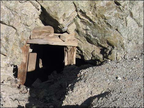 Lakeshore Mine |
WATCH OUT Other than the standard cautions about hiking in the desert, ...this area generally is safe, but there are many old mines, and this is wild and remote county, so even under the best of circumstances, help would be long in coming. Given that, exercise extra caution when hiking and give yourself a little wider margin of safety. Don't push it. In case of emergency, cell phones generally work north of Whitney Pocket, but don't count on them. Farther south, cell coverage is spotty and unreliable. For example, I once called my wife from far southern Gold Butte, but a few minutes later, I could get no cell signal at all. Let someone know where you are going and when you expect to be back. Satellite phones or personal locator beacons are a good idea. |
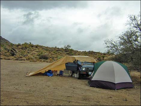 Stormy campsite at Gold Butte Townsite |
SOME RULES AND REGULATIONS This is BLM land, so there are few regulations. However, vehicles are restricted to designated roads and trails; Pack it in, pack it out; and don't mess with the petroglyph or other historical artifacts. For details on these issues and other information, visit the Lake Mead website. Driving maps are available online of the Lake Mead section of Gold Butte. |
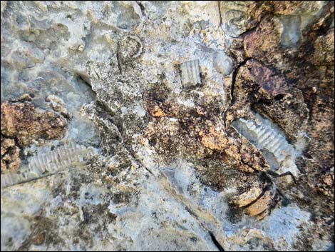 Paleozoic fossils |
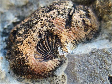 Paleozoic fossils |
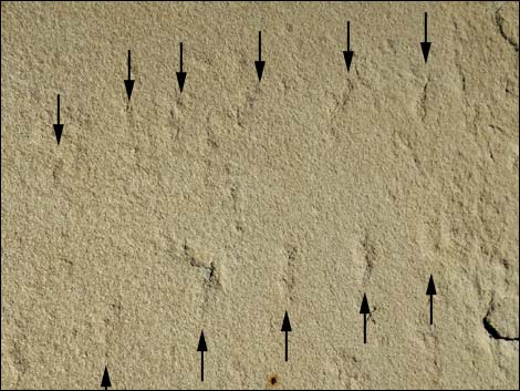
 Early mammal tracks in Gold Butte sandstone |
 Bug tracks (beetle or scorpion?) in Gold Butte sandstone |
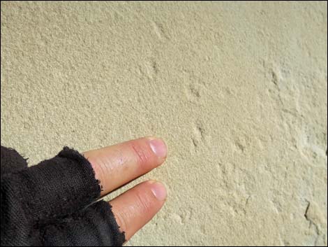 Bug tracks in Gold Butte sandstone |
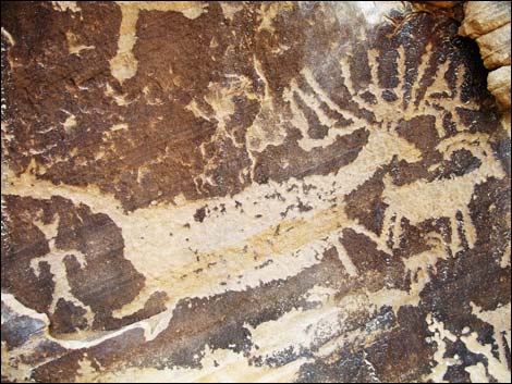 Petroglyphs |
 Devils Throat -- an enormous sinkhole |
 Granite Spring Arrastra |
 Wind-blown sand Wind-blown sand |
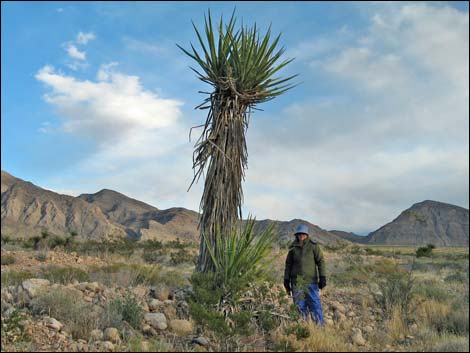 Very tall Mojave Yucca |
 |
 |
 Undeveloped campsite |
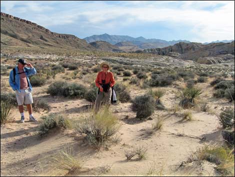
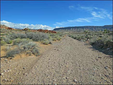
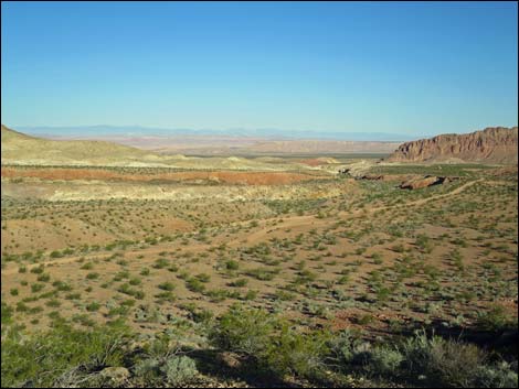
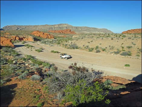
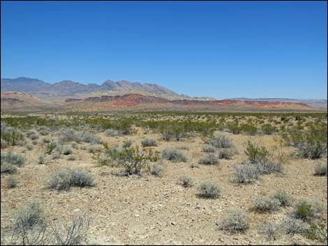
 Gold Butte: grand open spaces |
 |
 |
 |
 |
 Typical trailhead parking area |
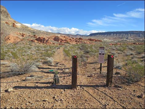 Typical trailhead gate and information sign |
 |
 |
 |
 |
 |
 |
 |
 |
 |
 |
 |
 |
 |
 |
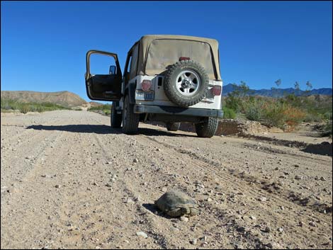 Desert Tortoise on Gold Butte the road - I couldn't stop in time |
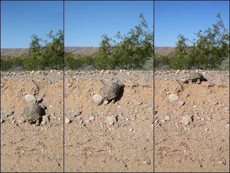 Yes, Desert Tortoise can climb the roadside berm |
 Desert Tortoise past the road |
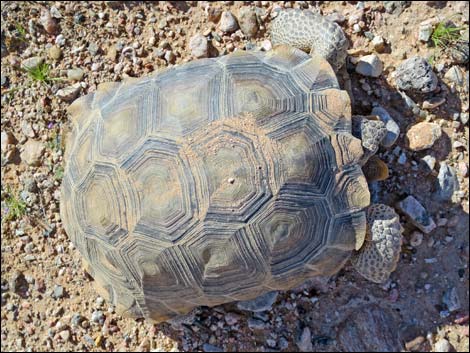
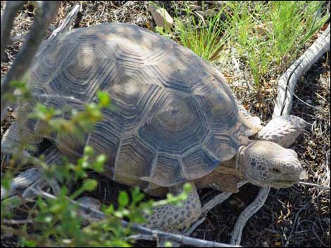 Desert Tortoise, resting in the shade after crossing the road |
 |
 |
 |
 |
 |
 |
 |
 |
 |
 |
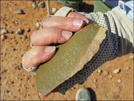
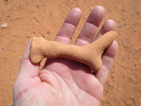
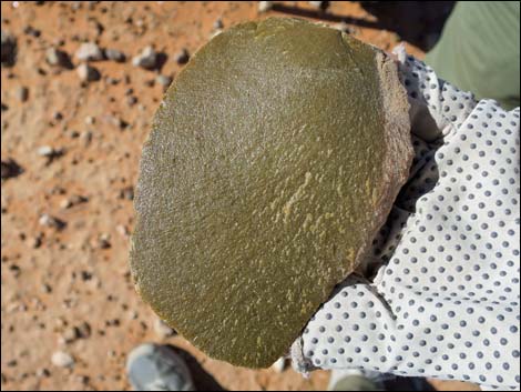 Stone tool |
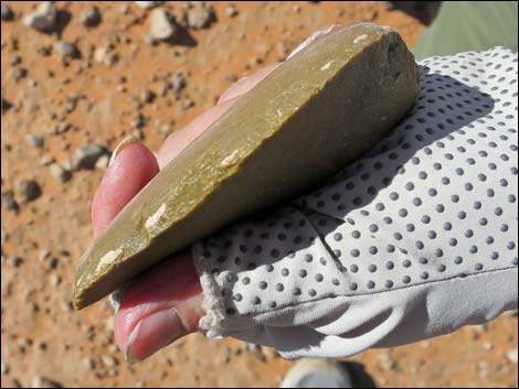 Stone tool |
 Stone tool |
 Paiute hunting blind near a spring |
 |
 |
 |
 |
 Sunrise colors on eroded hills |
 Stormy day in Gold Butte National Monument |
 Winter in the Virgin Mountains (view SE from Mormon Mesa) |
 Winter in the Virgin Mountains (view SE) |
 Winter in the Virgin Mountains (view SE) |
 Winter in the Virgin Mountains (view SE) |
 Winter in the Virgin Mountains (view SE) |
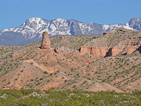
 Virgin Peak (view E from Gold Butte Road) |
 |
 |
 |
 |
 |
 |
 |
 |
 |
 |
 |
 |
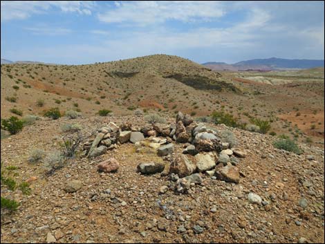
 Possible grave site in NE Gold Butte |
 Possible grave site in NE Gold Butte |
 Southern end of Virgin Ridge (view E) |
 Southern end of Virgin Ridge (view SE to Grand Wash Cliffs) |
 Gypsum hills, greater Mud Wash area (view SW) |
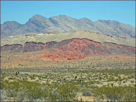
 Red sandstone outcrops near Whitney Pocket |
 Bitter Ridge, central Gold Butte |
 Bitter Ridge, central Gold Butte |
 Anderson Ridge, southwestern Gold Butte |
 Anderson Ridge, southern Gold Butte |
 Anderson Ridge, southwestern Gold Butte |
 Anderson Ridge, southwestern Gold Butte |
 South side, Anderson Ridge, southwestern Gold Butte |
 Gigantic agave roasting pit, Virgin Peak, northeast Gold Butte |
 Whitney Pocket |
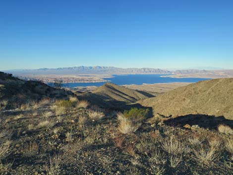 Lake Mead (view W from the southwestern corner of Gold Butte) |
 |
 |
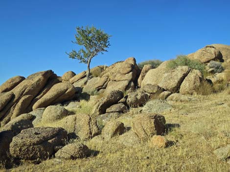 Lone tree and granite boulders |
 Evening storm clouds and snow on Virgin Peak (view E) |
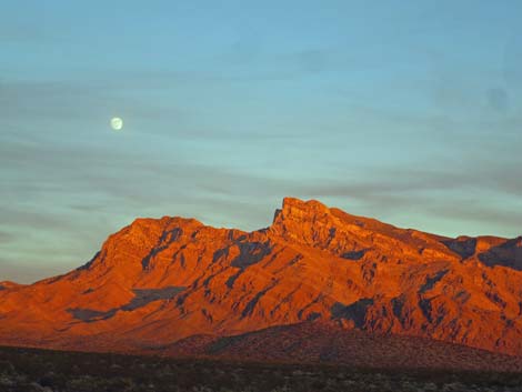 Sunset colors and moonrise over Virgin Peak (view E) |
 Spring snow on the Virgin Mountains (view SE) |
Table 1. Highway Coordinates based on GPS Data (NAD27; UTM Zone 11S). Download Highway GPS Waypoints (*.gpx) file
| Site | Location | UTM Easting | UTM Northing | Latitude (N) | Longitude (W) | Elevation (ft) | Verified |
|---|---|---|---|---|---|---|---|
| 0461 | Gold Butte Rd at End of Pavement | 756116 | 4045702 | 36.52424 | 114.13966 | 3,023 | Yes |
| 0462 | Gold Butte Rd at Whitney Pocket | 756161 | 4045596 | 36.52327 | 114.13920 | 3,013 | Yes |
| 0684 | Hwy I-15 at Hwy 170 | 746902 | 4072795 | 36.77063 | 114.23374 | 1,804 | Yes |
| 0686 | Hwy 170 at Gold Butte Rd | 748500 | 4068528 | 36.73179 | 114.21724 | 1,444 | Yes |
| 0687 | Gold Butte Rd at turn away from river | 742272 | 4061700 | 36.67191 | 114.28907 | 1,384 | Yes |
| 0796 | Gold Butte Rd at St Thomas Gap Rd | 757995 | 4033469 | 36.41359 | 114.12277 | 2,427 | Yes |
| 0797 | Gold Butte Rd at Devil's Cove Rd | 755481 | 4022247 | 36.31321 | 114.15447 | 3,509 | Yes |
| 0806 | Gold Butte Rd at Red Bluff Spring Rd | 751471 | 4018545 | 36.28093 | 114.20028 | 3,727 | Yes |
| 0807 | Gold Butte Rd at Mud Wash Rd | 756119 | 4035522 | 36.43258 | 114.14300 | 2,244 | Yes |
| 1648 | Gold Butte Rd at Gold Butte Townsite Rd East | 751531 | 4018569 | 36.28113 | 114.19960 | 3,727 | Yes |
| 1649 | Gold Butte Rd at Mud Wash North Rd | 754150 | 4040226 | 36.47546 | 114.16339 | 2,388 | Yes |
| 1650 | Gold Butte Rd at Voight Well Rd E | 752023 | 4019023 | 36.28510 | 114.19398 | 3,755 | Yes |
| 1651 | Gold Butte Rd at Voight Well Rd W | 751874 | 4018845 | 36.28353 | 114.19569 | 3,751 | Yes |
Happy hiking! All distances, elevations, and other facts are approximate.
![]() ; Last updated 240322
; Last updated 240322
| Hiking Around Las Vegas | Glossary | Copyright, Conditions, Disclaimer | Home |