Hiking Around Las Vegas, Death Valley National Park
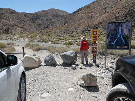 Darwin Falls Trailhead (view SW) Darwin Falls Trailhead (view SW) |
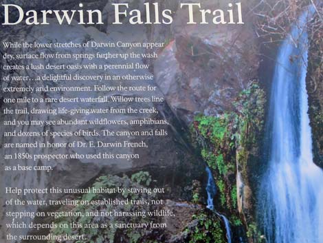
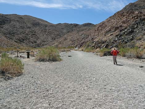
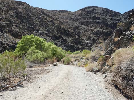
Note: From Death Valley Website -- Road is completely gone in many places. It will need either extensive import of road fill (expensive) or "mining" of gravel from the nearby wash (this would require thorough environmental review). Likely to remain closed until Summer 2026. Hikers can park on the shoulder of CA-190 and walk in. Overview Darwin Falls Trail is a pleasant, fairly easy trail that starts out in a desert wash, runs up through a rocky canyon with high cliffs on both sides, and ends at a perennial waterfall. Along the way, hikers are introduced to desert wash vegetation, desert cliffside vegetation, and desert oasis riparian vegetation. In the narrow upper canyon, hikers must navigate wet rocks, stream crossings, sand-covered smooth rocks, perhaps a little bit of easy scrambling, and perhaps wet feet. During spring and early summer, the riparian corridor provides habitat for lots of birds. Western toads and various species of lizards are also common in the riparian area. Darwin Creek provides drinking water to Panamint Springs Resort. Therefore, swimming and dogs are prohibited on this trail. These rules are intended to safeguard the quality of the water provided to downstream humans. Link to trail map. |
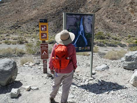 Darwin Falls Trailhead information sign (view W) |
Watch Out Other than the standard warnings about hiking in the desert, ... this hike is fairly safe. In the narrow upper canyon, hikers must navigate various minor obstacles. When the water is high, expect to have wet feet. Hiking poles would be helpful at water crossings. Late spring and early summer are probably the best times to do this hike because the trees are leafed out and provide lots of shade. However, only the upper end of the trail has shade, so hikers can do this trail in moderately hot temperatures, but the lower 1/2-mile is in the full sun. On the way down, consider resting in the last shade before making the final, full-sun, 1/2-mile to the trailhead. While hiking, please respect the land and the other people out there, and try to Leave No Trace of your passage. Also, this hike is wild and remote, so be sure to bring the 10 Essentials. Cell phones don't work in the canyon. |
 Darwin Falls Trailhead information sign (view W) |
Getting to the Trailhead This hike is located on the far west side of Death Valley National Park, about 3 hours northwest of Las Vegas. From town, drive out to Death Valley. From the Furnace Creek Visitor Center (Table 1, Site 0712), drive north and then west on Highway 190 for about 55 miles to Panamint Springs Resort. Continue west on Hwy 190 for 1.0 miles to Darwin Falls Road (Site 0977). Turn left onto Darwin Falls Road and drive generally southwest for 2.4 bumpy miles to the Darwin Falls Trailhead parking area (Site 0978), on the right. Park here; this is the trailhead. |
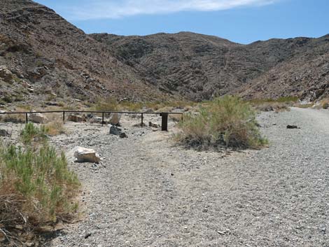
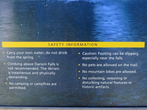 Darwin Falls Trailhead information sign: Safety Information |
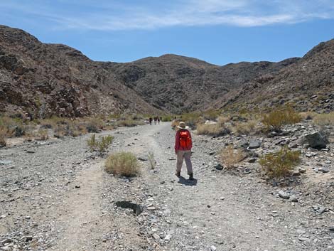
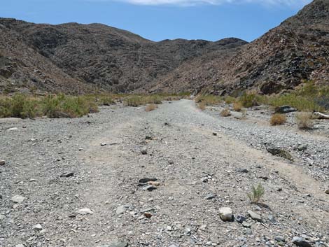
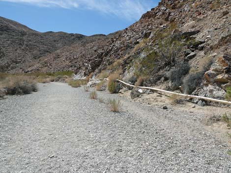
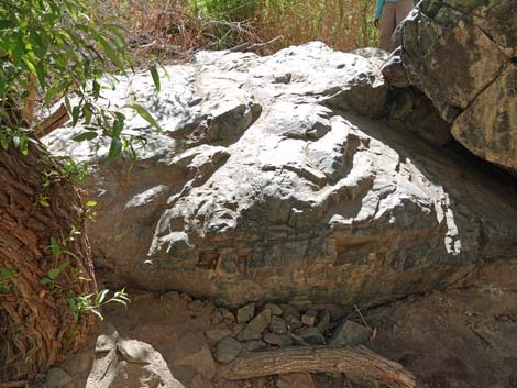
The Hike From the trailhead (Table 1, Waypoint 01), the trail follows an old road as it drops into Darwin Wash and runs southward up the wash. The low cliffs on the east side of the wash show ancient, layered limestone rocks with interesting dikes cutting through the layers. The dikes probably formed when the area was wracked with volcanic activity that covered the landscape with lava (basalt). The mountains along the north side of Darwin Wash Road were volcanic, but here the basalt has eroded away to re-expose the limestone bedrock. The area above the wash on the right, but below the hillside, provides a good example of hardy desert vegetation. Creosote bushes dominate, but Mojave Rabbitbrush and Cheesebush are common. During spring after wet years, this area harbors lots of annual wildflowers. Also watch for Side-blotched Lizards and Desert Iguanas. At about 0.23 miles out, the trail passes an old well head and the remains of an old fence. This was the trailhead parking in the old days. Notice how flashflood debris catch in the fence. When hot and dry, it is hard to imagine so much water flowing here. |
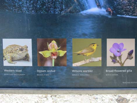 Darwin Falls Trailhead information sign: some things to see |
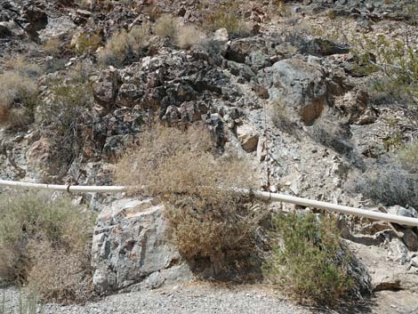
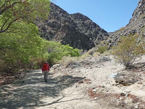
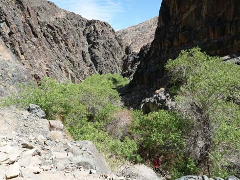
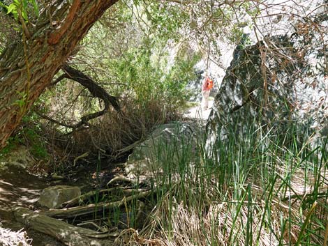
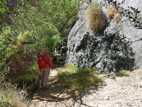
Near the old fence, hikers begin to see a 4-inch-diameter, white PVC pipe running along the base of the hill. This is the pipe that brings drinking water to Panamint Springs Resort. Fortunately for the environment, there are a few leaks in the pipe that drip water to plants and animals. Keep an eye out in these areas for desert birds and lizards. In the broad, sandy wash, the trail runs south-southwest for 0.51 miles. The trail then turns a corner (Wpt. 02) to run more westerly. At this point, the canyon begins to narrow. Heading west, the canyon walls rise steeply, especially on the north side of the canyon. Shortly, hikers arrive at the first Gooding's Willow Trees, which provide welcome shade. Seep Willow and Brittlebush are also common in this area, as are Common Chuckwalla Lizards. Also in this area, the water pipe is metal, but it still leaks here and there. |
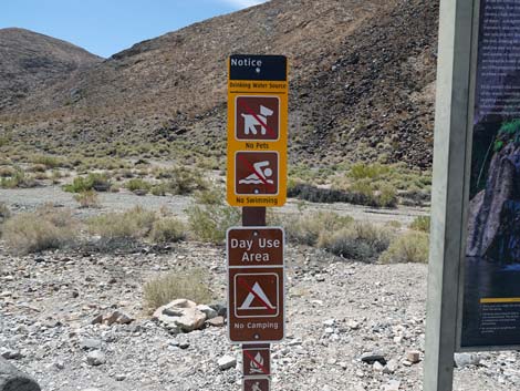 Darwin Falls Trailhead Notices: no dogs, no swimming |
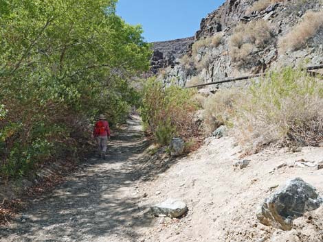
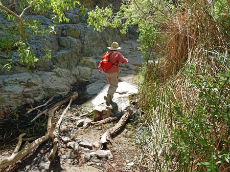
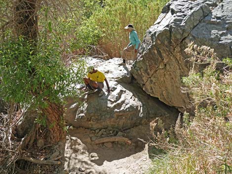
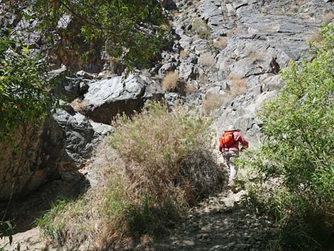
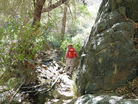
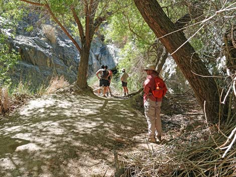
As the canyon narrows, the walls get even higher, and the trail starts to wind around boulders and trees. Growing on the cliffs, Engelmann's Hedgehog Cactus and a few small shrub species seem to defy gravity. Listen for sounds of flowing water, a rare sound in this arid land. At about 0.78 miles out, the trail bends hard to the right and for about 50 yards runs straight north. When the trail turns back to the west, it passes a concrete structure (gaging station) which is probably where stream water is captured and directed into the pipe. The canyon continues to narrow, and hikers wind more and more around trees and other obstacles, including walking in the stream (0.88 miles out), but mostly just following along the north side of the stream. At about 0.93 miles out, hikers encounter a huge boulder blocking easy passage along the stream. The step-up is quite high, and the rock is covered with loose sand (deposited from wet hiking boots). Upstream hikers can bypass the boulder to the right on a steep route that climbs up and over the boulders, but it is easy for downstream hikers to slide down the face of the boulder. |
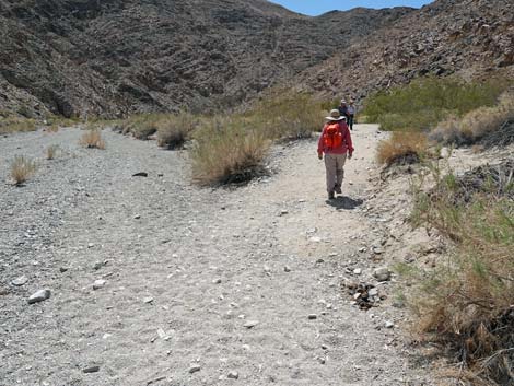
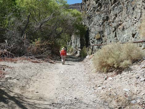
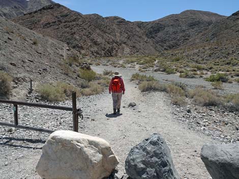 Hiker departing the Darwin Falls Trailhead (view SW) |
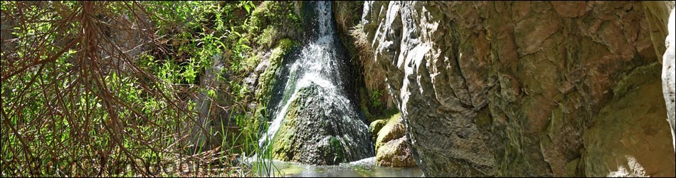
Shortly thereafter, at about 0.98 miles out, hikers arrive at Darwin Falls (Wpt. 03). During the summer of 2021, the plunge pool was fairly shallow and choked with aquatic vegetation (Narrowleaf Cattail, Watercress, rushes, sedges, and even Stream Orchids), especially against the base of the falls. This made the area somewhat less scenic than the advertised photos, but a good flashflood would clear it all out, so maybe next season will be better. The area below the falls is thick with Gooding's Willow trees that provide cool, moist shade and habitat for lots of birds. Watch for Wilson's Warblers, Ruby-crowned Kinglets, Lincoln's Sparrows, and other songbirds, and don't overlook the dragonflies and damselflies. The rustling sounds in the leaves on the ground could be birds scratching for bugs, or perhaps Western Whiptail Lizards and Yellow-backed Spiny Lizards. When ready, return to the trailhead (Wpt. 01) by following your muddy footprints back down the canyon. Be sure to cool off in the last shade before hiking the 1/2-miles of full sun back to the trailhead. |
 Trail drops towards Darwin Wash (view S) |
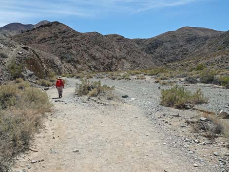
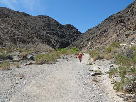
 Hiker starting up Darwin Wash (view S) |
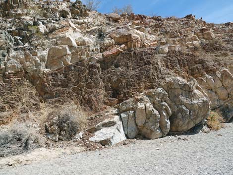 Low layered cliffs on the left (view E) |
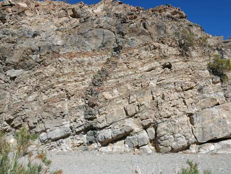 A dike cuts across the rock layers (view E) |
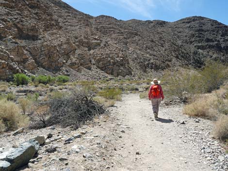
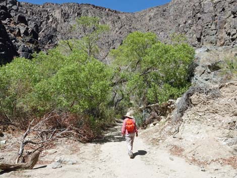
 Hiker continuing up Darwin Wash (view SW) |
 Full sun, sparse vegetation, and soft gravel (view SW) |
 Hiker approaching the wellhead and metal fence (view SW) |
 Wellhead and metal fence (view S) |
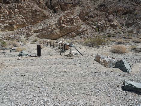 Wellhead and metal fence at the old trailhead (view E) |
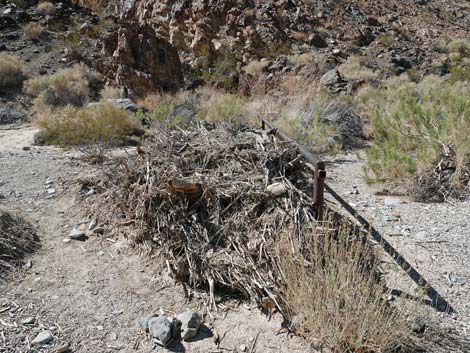 Flashflood debris piled against the old fence (view W) |
 White PVC pipe runs along the base of the hills (view SW) |
 White PVC pipe taking water to Panamint Springs (view W) |
 Pipe probably needs better maintenance (view W) |
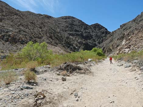
 Trail exits the gravel wash onto firmer ground (view SW) |
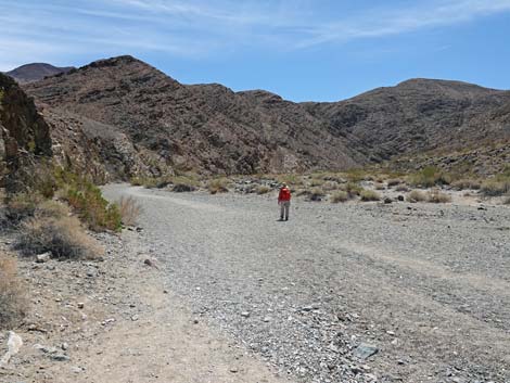
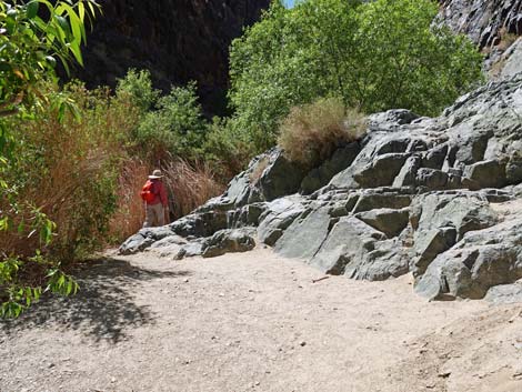
 Hiker approaching the corner (view SW) |
 Hiker at the corner (view SW) |
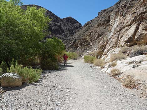
 Hiker heading towards the narrower canyon (view W) |
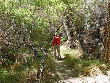
 Hiker approaching the shady trees (view W) |
 Hiker seeking refuge from the sun in the shade (view SW) |
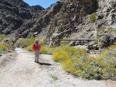 Brittlebush in flower by a leak in the pipe (view SW) |
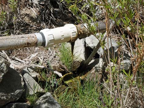 Leaking pipe -- a gift to the environment here (view W) |
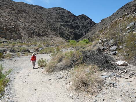
 The canyon begins to narrow (view SW) |
 Hiker finding shade along the trail (view W) |
 Hiker finding more shade along the trail (view W) |
 Hiker entering the narrow canyon (view W) |
 A puddle in the trail (view W) |
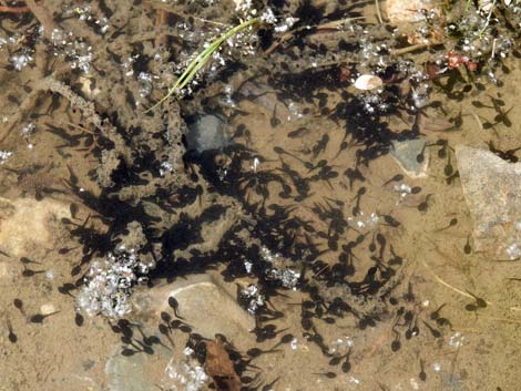 Western toad tadpoles in the puddle (view down) |
 Hiker continuing up the narrow canyon (view N) |
 Gaging station (view NW) |
 Gaging station (view NW) |
 Trail runs up into an oasis of trees and other vegetation (view SW) |
 Hiker winding around rocky outcrops (view SW) |
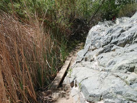 A board serves as a short bridge (view W) |
 Tree branches serve as a short bridge (view NW) |
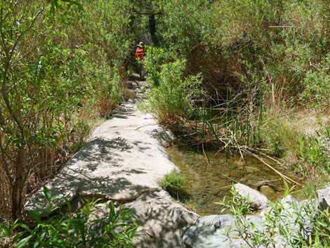
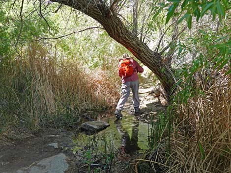 Stones serve as a short bridge (view NW) |
 A brief detour to a noisy cascade (view W) |
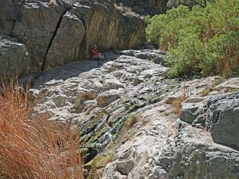 Hiker resting in the shade with sounds of cascading water (view W) |
 Sandy boulder: the main obstacle along the trail (view W) |
 Hikers coming down the sandy boulder (view W) |
 Hiker bypassing the sandy boulder (view N) |
 Atop bypass: nice view back down Darwin Canyon (view E) |
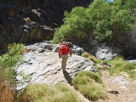
 Hiker continuing up the main trail (view SW) |
 Lots of shady vegetation along the trail (view W) |
 Sometimes you just gotta go, but don't leave it like this |
 Hiker approaching the end of the trail (view W) |
 Hikers at the end of the trail (view W) |
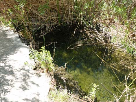
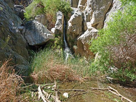 Darwin Falls; plunge pool full of vegetation (view W) |
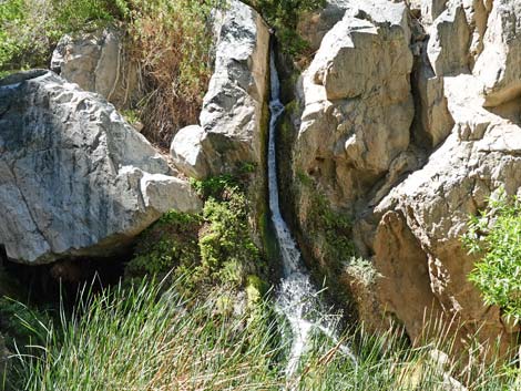 Darwin Falls (view W) |
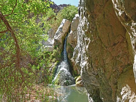 Darwin Falls; best remaining view (view W) |
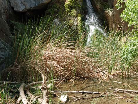 Lots of aquatic vegetation in the plunge pool |
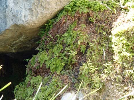 Common Maidenhair Ferns next to the falls |
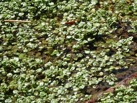 Watercress in the plunge pool |
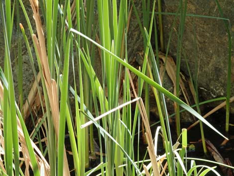 Narrowleaf Cattail |
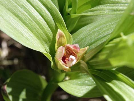 Stream orchid |
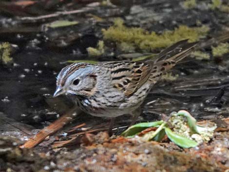 Lincoln's Sparrow |
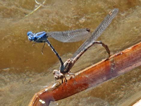 Damselflies making more |
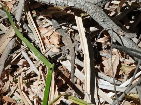 Western Whiptail Lizard |
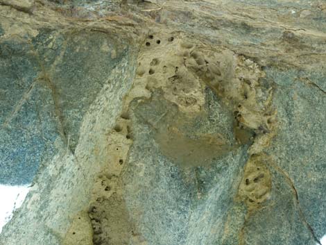 Mud-wasp nests on the rock walls |
Table 1. Hiking Coordinates and Distances based on GPS Data (NAD27; UTM Zone 11S). Download Hiking GPS Waypoints (gpx) file.
| Wpt. | Location | UTM Easting | UTM Northing | Elevation (ft) | Point-to-Point Distance (mi) | Cumulative Distance (mi) |
|---|---|---|---|---|---|---|
| 01 | Darwin Falls Trailhead | 453882 | 4020219 | 2,504 | 0.00 | 0.00 |
| 02 | Canyon Narrows | 453669 | 4019489 | 2,569 | 0.51 | 0.51 |
| 03 | Darwin Falls | 453049 | 4019446 | 2,685 | 0.47 | 0.98 |
| 01 | Darwin Falls Trailhead | 453882 | 4020219 | 2,504 | 0.98 | 1.96 |
Happy Hiking! All distances, elevations, and other facts are approximate.
![]() ; Last updated 240324
; Last updated 240324
| Death Valley | Hiking Around Las Vegas | Glossary | Copyright, Conditions, Disclaimer | Home |