Hiking Around Las Vegas, Red Rock Canyon National Conservation Area
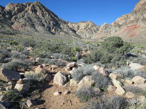
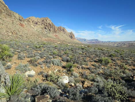
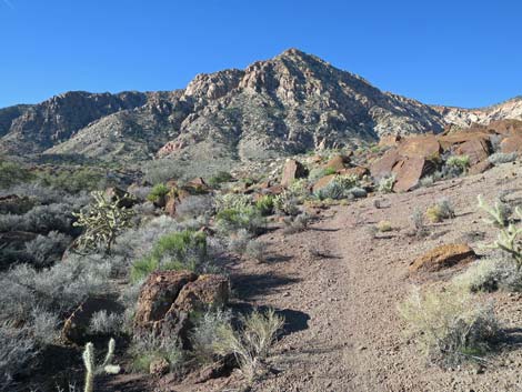
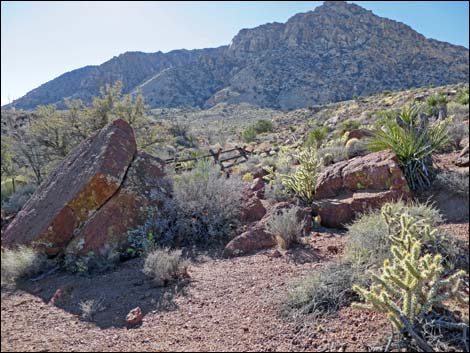
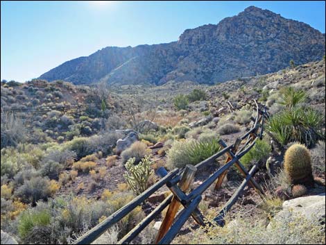
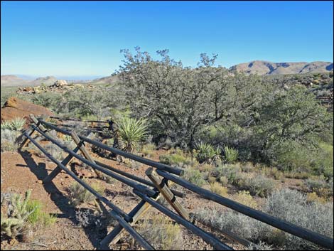
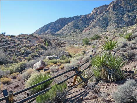
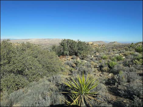
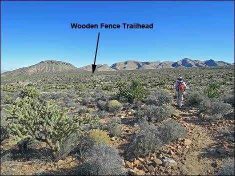
 Use-trail departing the trailhead (view NW) |
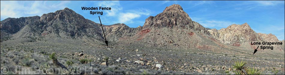
Overview This fairly easy trail runs about 1/3-miles to a spring with a wooden, A-frame fence that surrounds oak trees, ash trees, cattails, and other wetland vegetation. The spring is located at the base of the Red Rock Escarpment, west of Blue Diamond (south end of the Red Rock Cliffs), in an area of diverse vegetation typical of the Mojave Desert Scrub habitat type. The spring area is fenced, but trees outside the fence provides shade for hikers and birdwatchers. Access is from Highway 160 using Black Velvet Road, Lone Grapevine Road, and Wildhorse Road, all of which should be suitable in a carefully driven sedan to about 0.3 miles short of the Wooden Fence Spring Trailhead. During the hike, the sandstone cliffs, which are inside the Rainbow Mountain Wilderness Area, loom higher and higher, eventually dominating the landscape as hikers and birdwatchers draw near to the springs. Link to map. |
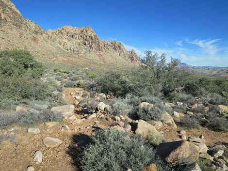
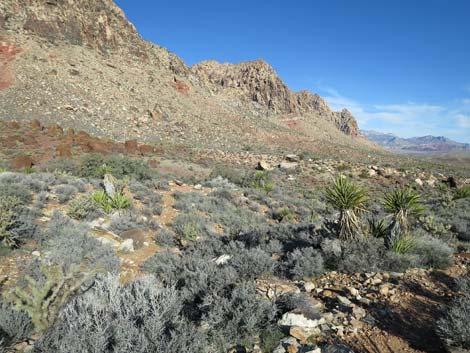
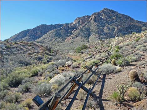
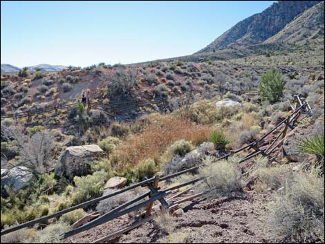
 Trail drops towards gravel wash (view W) |
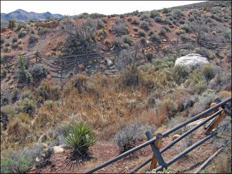
As an in-and-out hike, visiting Wooden Fence Spring requires about 2/3-miles of walking. Hikers and birders might consider walking a slightly longer loop (about 1-1/2 miles) by including Lone Grapevine Spring in their desert adventure. The plethora of mountain bike trails in the area provide additional opportunities for hiking loops that include these and other springs. Starting from the paved Late Night Trailhead and connecting bike trails and dirt roads (Two Springs Loop Trail) to reach the spring makes a nice morning hike. Watch Out Other than the standard warnings about hiking in the desert, ...this hike is fairly short and safe with no unusual hazards. Without a high-clearance vehicle, be sure to drive carefully and stop at the parking area atop a steep ravine about 0.1 miles before the trailhead. While hiking, please respect the land and the other people out there, and try to Leave No Trace of your passage. Also, even though this hike is short, be sure to bring what you need of the 10 Essentials. |
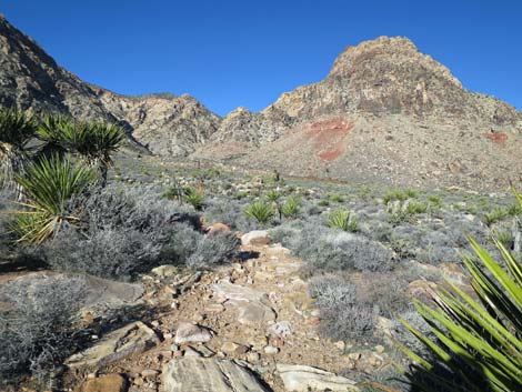
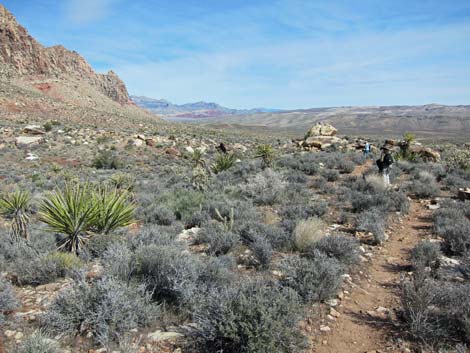
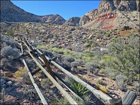
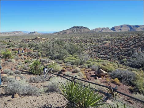
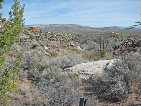
 Trail can be seen across the gravel wash (view W) |
Getting to the Trailhead This hike is located in Red Rock Canyon NCA, but not in the Scenic Loop Road fee area. From the Red Rock Visitor Center area, drive west then south on West Charleston Blvd (Hwy 159) past Blue Diamond Town to Highway 160. Turn right onto Highway 160 and drive west for 4.7 miles to the paved Late Night Trailhead on the right. From the northeast end of the paved parking area, follow Black Velvet Road for 1.3 miles to either of two roads to the left. These roads merge to become Lone Grapevine Road. Follow Lone Grapevine Road to a T-intersection with Wildhorse Road. Turn right onto Wildhorse Road and drive around to Lone Grapevine Trailhead Parking #4. Without a 4WD vehicle, consider stopping at Lone Grapevine parking area #1. |
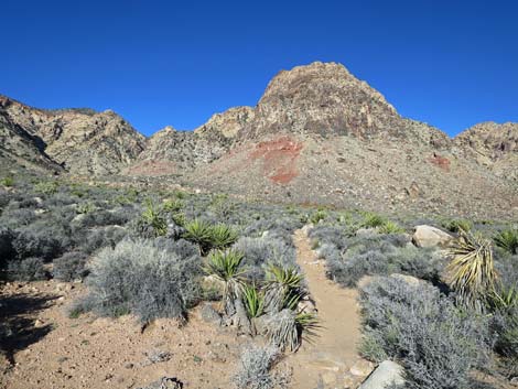
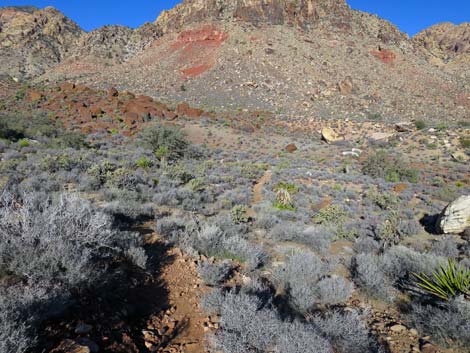
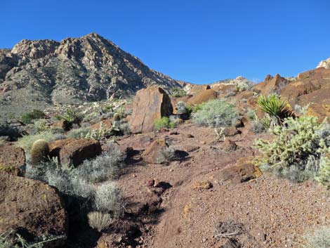
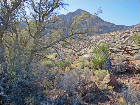
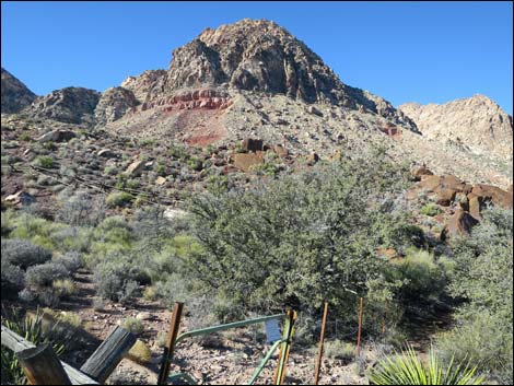
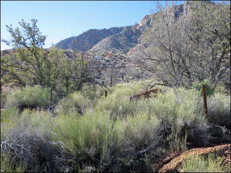
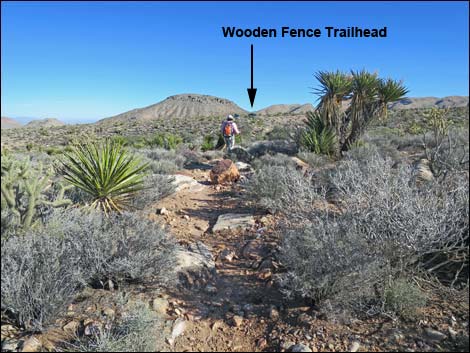
 Continuing past the wash (view W) |
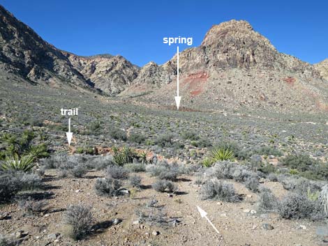
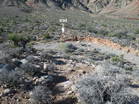
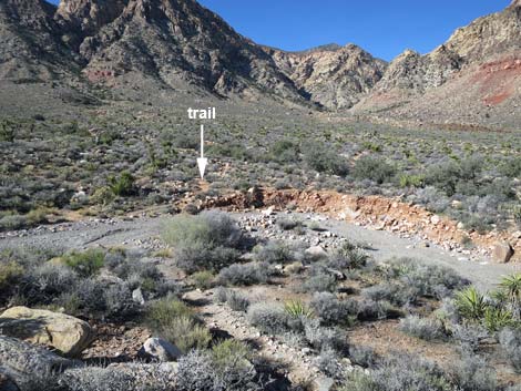
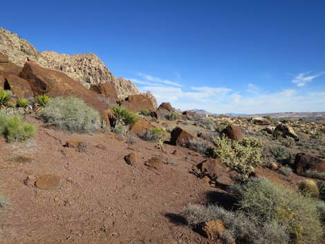
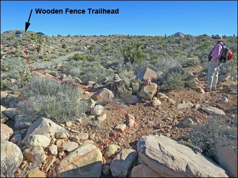
The Hike From the trailhead (Table 1, Waypoint 21), reddish-brown boulders behind the spring can be seen in the distance to the west-northwest. Starting out, the unmarked trail runs west and down to cross a deep wash, then quickly arrives at a junction with the Late Night Bike Trail (Wpt. 16). Turning right and continuing west, the trail winds among rocks as it runs across open desert with many species of shrubs, including blackbrush, indigo bush, Virgin River encelia, spiny menodora, and the odoriferous turpentinebroom. There are also lots of Mojave yucca and buckhorn cholla, plus a few Joshua trees. The trail eventually bends to the northeast, and soon the fence around the spring can be seen to the left. Bending back to the northwest, the trail drops to cross a wash that holds water during cooler parts of the year. Across the wash, the trail bends back to the southwest, effectively making a big loop around to the far side of the spring. |
 |
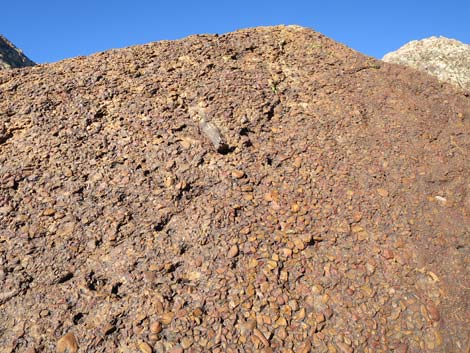
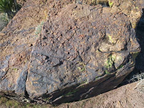
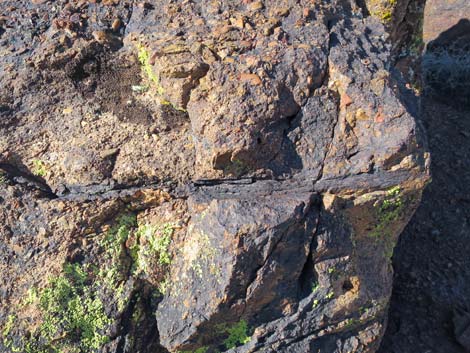
Passing among large, reddish-brown conglomerate boulders recalls the time when this region was drying out after being under the ocean, but before it was a desert. These conglomerate rocks were formed from gravels deposited by freshwater rivers that formed a large delta covering this region. In contrast to the vast amount of time represented by the limestone and sandstone layers, this layer was deposited over a short period of time -- it is only a few feet thick. This rock is Shinarump Conglomerate, the lower stratum of the Chinle Formation. Among these boulders, the Late Night Bike Trail bends hard to the north, while a spur trail continues southwest a few yards to the fence that surrounds the spring area (Wpt. 15). |
 |
The spring area is fenced, so it probably is better to stay outside and not trample the vegetation. The large trees around the spring are velvet ash, and shrub live oak grow on the drier edges. Shrubs in the area include sagebrush, sandpaper plant, eastern Mojave buckwheat, and blackbrush. There are also lots of Mojave yucca, buckhorn cholla, and some desert needlegrass. Watch for bighorn sheep, mule deer, and other wildlife, especially songbirds. When ready to head back, either follow your footprints back down the trail to the trailhead, or consider making a loop. For instance, from the conglomerate boulders (Wpt. 03), follow the Late Night Bike Trail north to Lone Grapevine Spring. From near the watering trough near the spring, a trail runs back to Wildhorse Road at a point about 0.2 miles north of the trailhead. |
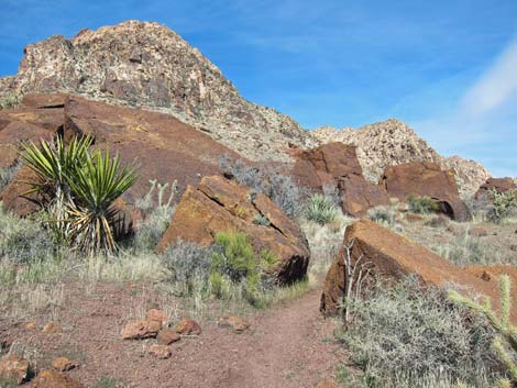
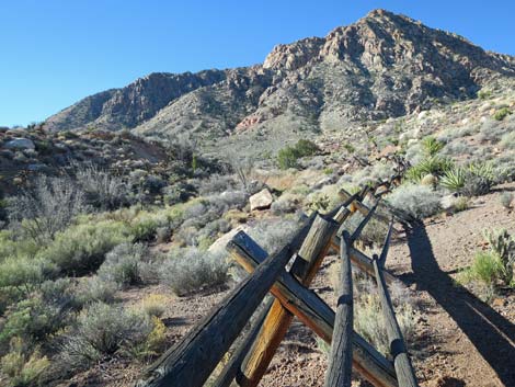
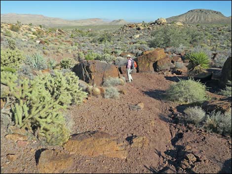
 Well-used trail (view NW) |
 Rocks at the spring can be seen in the middle distance (view N) |
 Short-cut to the spring, but who wants the short way? (view N) |
 Looping around the spring (view N) |
 Angling back towards the spring (view W) |
 Approaching Shinarump Conglomerate boulders near the spring |
 Shinarump Conglomerate boulders near the spring (view NW) |
 Winding among the Shinarump Conglomerate boulders (view SW) |
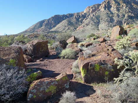
 Main trail bends right; continue straight to spring (view SW) |
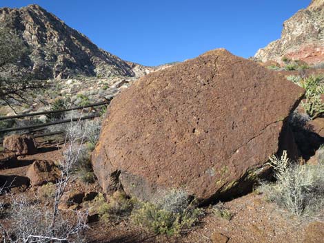 Large Shinarump Conglomerate boulder at the spring (view NW) |
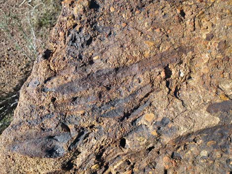
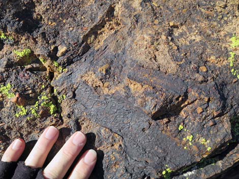
 Petrified wood in the Shinarump Conglomerate boulder (view W) |
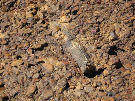 Petrified wood in the Shinarump Conglomerate boulder (view W) |
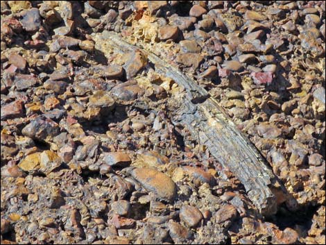 Old wood in the Shinarump Conglomerate |
 Shinarump Conglomerate boulders near the spring |
 |
 |
 |
 |
 Boulder with petrified wood |
 Boulder with petrified wood |
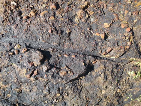 Trace of an old root or branch |
 Boulder with petrified wood |
 Petrified wood in the boulder |
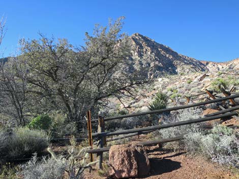
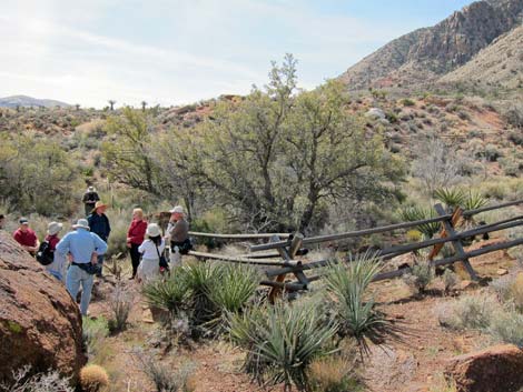 Outside the wooden fence (view south) |
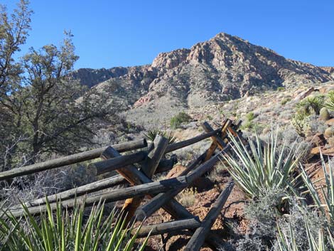
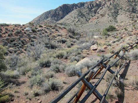 A-frame, split rail wooden fence |
 A-frame, split rail wooden fence |
 Trees inside the fence (view SW) |
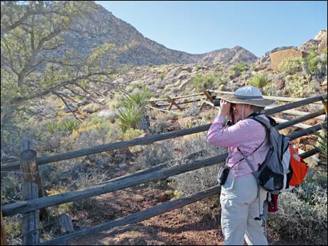 Birdwatching at Wooden Fence Spring |
 Wooden Fence Spring |
 Trees inside the fence (view E) |
 |
 |
 |
 |
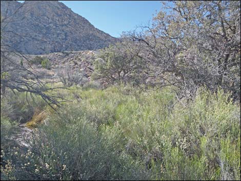
 Cattails and other riparian vegetation at Wooden Fence Spring |
 Cattails and other riparian vegetation at Wooden Fence Spring |
 |
 |
 Wooden Fence Spring (view NE) |
 Cattails at the actual spring |
 Hiker departing the spring area (view E) |
 Hiker on trail (view SE) |
 Hiker on trail (view SE) |
 Hiker standing just past trail junction (view SE) |
Table 2. Hiking Coordinates and Distances based on GPS Data (NAD27; UTM Zone 11S). Download Hiking GPS Waypoints (*.gpx) file.
| Wpt. | Location | UTM Easting | UTM Northing | Elevation (ft) | Point-to-Point Distance (mi) | Cumulative Distance (mi) | Verified |
|---|---|---|---|---|---|---|---|
| 21 | Wooden Fence Trailhead | 639367 | 3986263 | 4,102 | 0.00 | 0.00 | GPS |
| 16 | Trail Junction | 639299 | 3986255 | 4,082 | 0.05 | 0.05 | GPS |
| 15 | Wooden Fence Spring | 639012 | 3986386 | 4,115 | 0.27 | 0.32 | GPS |
| 21 | Wooden Fence Trailhead | 639367 | 3986263 | 4,102 | 0.32 | 0.64 | GPS |
Happy Hiking! All distances, elevations, and other facts are approximate.
![]() ; Last updated 240330
; Last updated 240330
| Hiking Around Red Rocks | Hiking Around Las Vegas | Glossary | Copyright, Conditions, Disclaimer | Home |