Backroads Around Las Vegas, Red Rock Canyon National Conservation Area
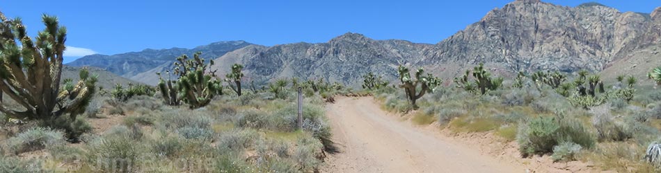
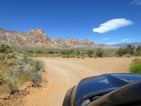
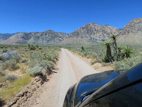
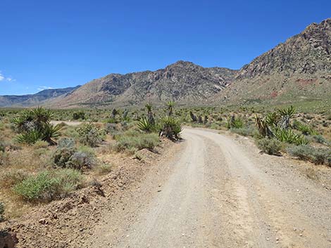
 Black Velvet Road at triangle intersection with South Branch start of Lone Grapevine Road (view N) |
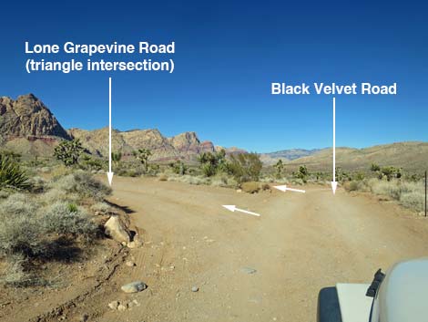
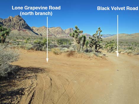
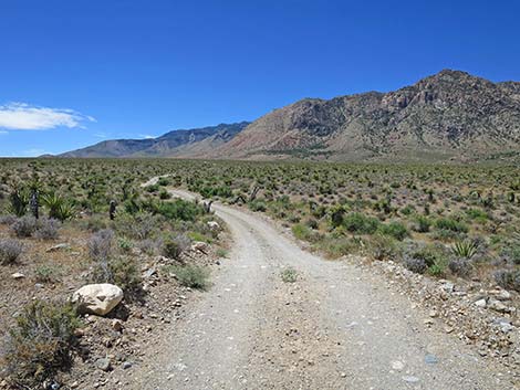
Overview The Lone Grapevine Road is a maintained backcountry road north of Highway 160 (the road to Pahrump) that provides access to the wild backcountry of Red Rock Canyon National Conservation Area at the base of the Red Rock Escarpment. Lone Grapevine Road connects Black Velvet Road with Wildhorse Road, allowing drivers to bypass the washes and 4WD sections of Wildhorse Road. There are two forks to the start of Lone Grapevine Road. Driving north on Black Velvet Road, drivers first encounter the south fork (a triangle intersection), and then about 70 yards farther out Black Velvet Road (a T-intersection), drivers encounter the north fork. The two forks join about 0.1 miles out. Lone Grapevine Road is 1.8 miles long and runs through the desert north of Mustang Hill. Camping is not permitted along the road. In addition to being a connector road, Lone Grapevine Road provides access to Mud Spring #2. Link to map. |
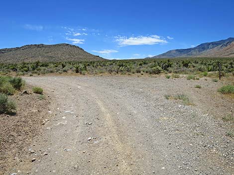
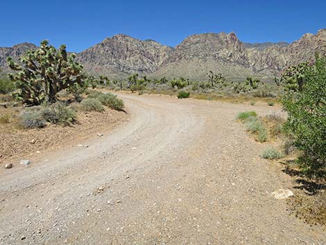 Sides of South Branch triangle merge into one road (view W) Sides of South Branch triangle merge into one road (view W) |
Watch Out Other than the standard warnings about driving in the desert, ...this is a fairly easy drive. Under normal conditions, the road is suitable for any sedan, but sometimes the road is muddy, washed out, and requires a high-clearance vehicle. While out, please respect the land and the other people out there, and try to Leave No Trace of your passage. Also, even though this road is short, be sure to bring what you need of the 10 Essentials. |
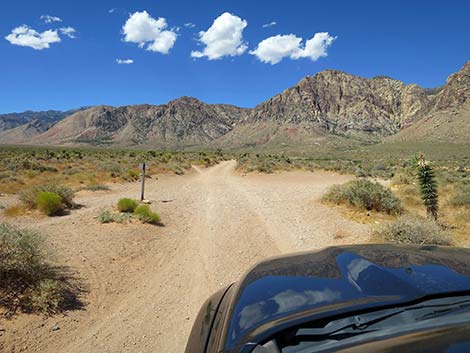
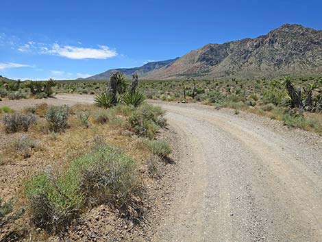
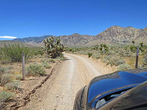 Designated road signs beyond the triangle (view SW) |
Getting to the Roadhead From town, drive out to Red Rocks. From West Charleston at the entrance to the Scenic Loop Road (Table 1, Site 0519), continue west on Charleston Blvd (Hwy 159) all the way past Blue Diamond town to Highway 160 (Site 0848). Turn right onto Highway 160, towards Pahrump, and drive west for 4.7 miles. Watch for a paved, right turn lane and the parking area off to the right; there is no sign on the highway. Turn right onto the Late Night Access Road (Site 1076) and drive towards the paved parking area. Stay to the right and continue past the parking areas and the vault toilet (Site 1072) to the far end of the paved parking area (Site 1081). |
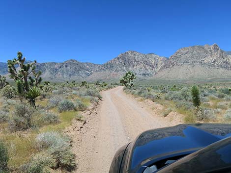
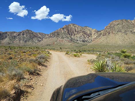
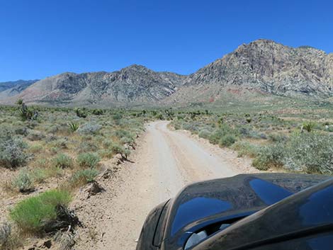
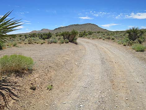
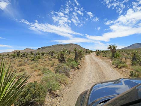
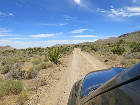
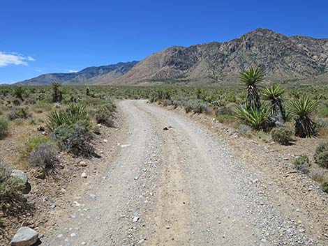
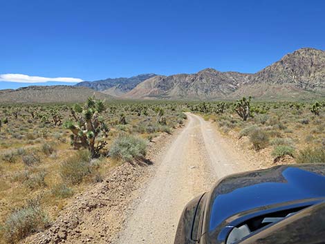 South Branch of Lone Grapevine Road (view SW) |
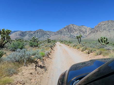
The Road At the far east corner of the paved Late Night parking area (Site 1081), the graded dirt Black Velvet Road runs out into the desert generally heading northeast. Watch for a carsonite "designated route" sign. Black Velvet Road runs northeast, then bends and runs northwest as it passes east of Mustang Hill. At 1.30 miles (Site 1082) and 1.34 miles out (Site 1083), the Black Velvet Road passes two side roads to the left. These two roads are the South Branch and North Branch of Lone Grapevine Road, and together they converge in 0.1 miles to become the Main Branch Lone Grapevine Road. Turning to the left, "both" branches of Lone Grapevine Road run southwest towards the Red Rock Escarpment and converge at about 0.15 miles out. Lone Grapevine Road is maintained with few rocks or big bumps, but the exact condition depends on the time since grading and the history of rain and flooding, but it should be suitable for a carefully driven sedan. |
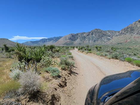
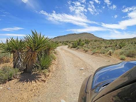
 South Branch of Lone Grapevine Road bends right (view SW) |
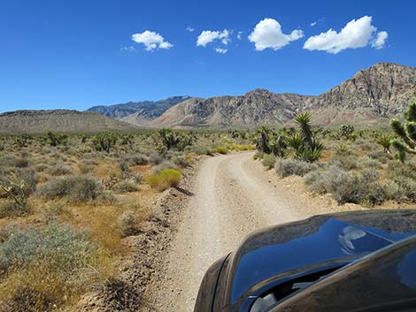
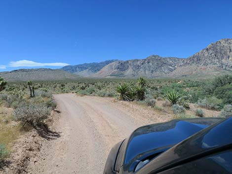
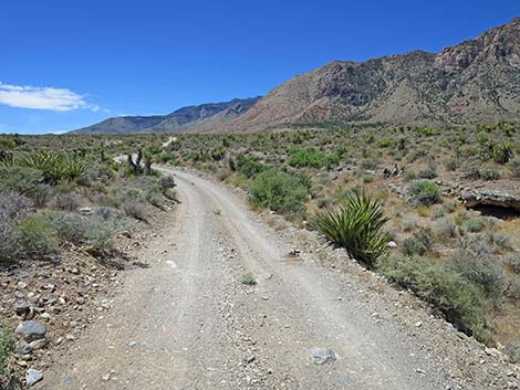
Heading southwest, the road runs along the edge of a cliff overlooking Mud Wash. The wash bottom, with more soil moisture, support a more robust and diverse collection of plants than do the surrounding desert flats. At about 0.4 miles out, Lone Grapevine Road passes a wide spot where a bike trail crosses the road. Trailhead parking is available on both sides of the road. At about 0.5 miles out, Lone Grapevine Road passes a pull-out on the right overlooking the wash (Site 1084). This is trailhead parking for Mud Spring #2. A use-trail drops steeply into the wash. In the wash, the spring is a few minutes walk up the wash to the west. Near the spring, the vegetation is robust, but it seems that the spring has gone dry. At about 1.0 miles out, Lone Grapevine Road bends hard to the left to run due south. Just before this bend, a wide spot provides trailhead parking for bike trails that cross the road in this area. |
 South Branch of Lone Grapevine Road bends right (view SW) |
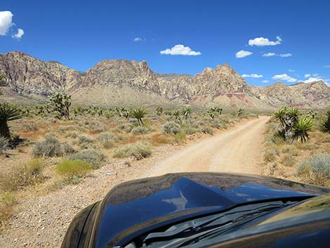
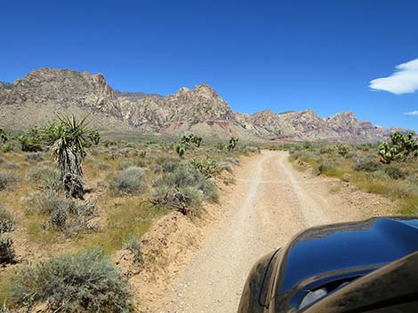
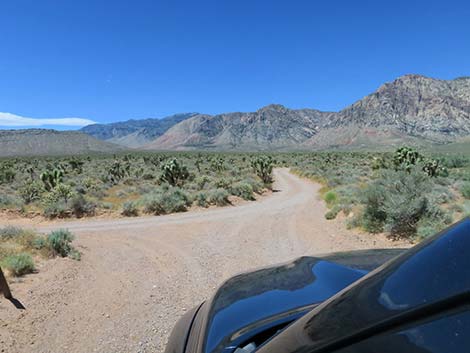
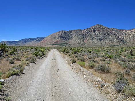
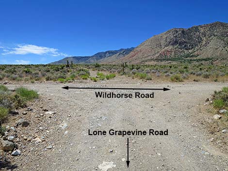
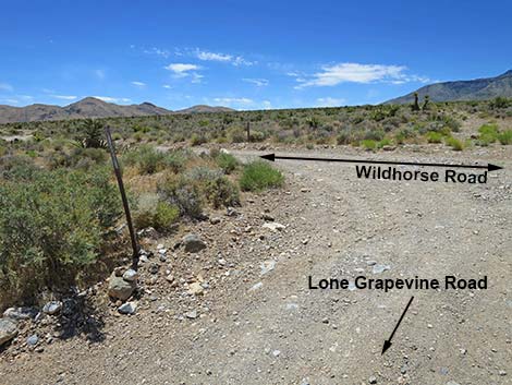
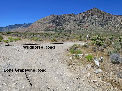
At about 1.1 miles out, the road bends to the left to run southeast. Parking here also provides access to bike trails that cross the road in this area. At about 1.2 miles out, the road bends hard to the right to run southwest, but without much parking for bike trails that cross the road here. From this curve, the road runs more or less straight southwest for about 0.6 miles. At about 1.8 miles out, Lone Grapevine Road intersects Wildhorse Road at a T-intersection (Site 1085). Lone Grapevine Road might appear to continue straight, but the old road scar ahead is closed to vehicles. For Lone Grapevine Trailhead Parking (Site 1075), turn right onto Wildhorse Road to continue 0.2 miles. To the left, Wildhorse Road has a serious 4WD section. |
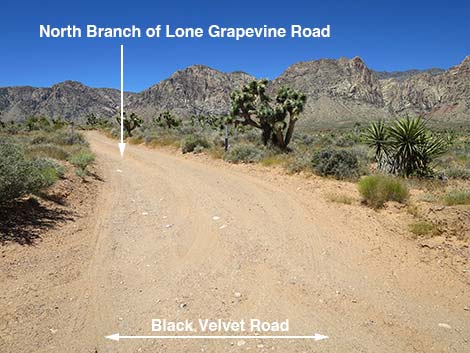
North Branch of Lone Grapevine Road
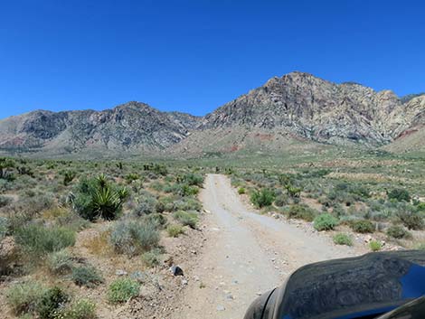
 South Branch of Lone Grapevine Road (view NW) |
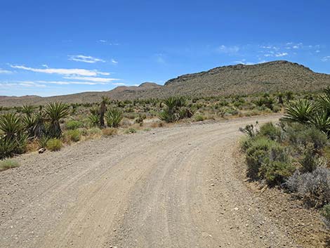
 South Branch of Lone Grapevine Road merges with North Branch |
 Black Velvet Rd at North Branch of Lone Grapevine Rd (view N) |
 North Branch of Lone Grapevine Rd (view SW from Black Velvet Rd) |
 North Branch of Lone Grapevine Rd (view SW) |
 North Branch of Lone Grapevine Rd (view W) |
 North Branch of Lone Grapevine Rd (view SW) |
 North Branch of Lone Grapevine Rd joins with South Branch (view SW) |
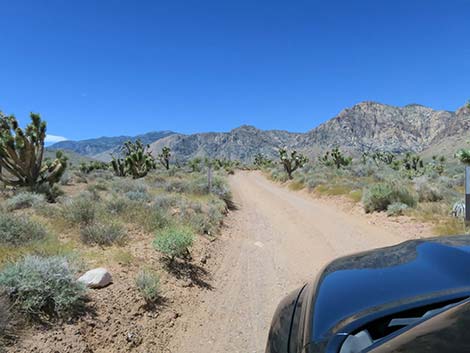
Main Branch of Grapevine Road
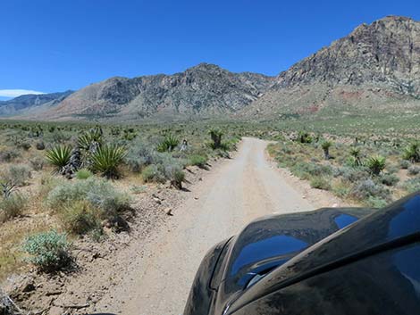
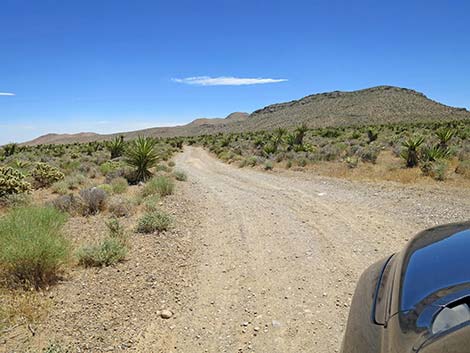
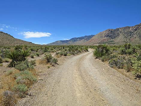
 Main Branch of Lone Grapevine Road (view SW) |
 Main Branch of Lone Grapevine Road (view SW) |
 Parking where a main bike trail crosses the road (view SW) |
 Trailhead parking for Mud Spring #2 (view SW) |
 |
 |
 |
 |
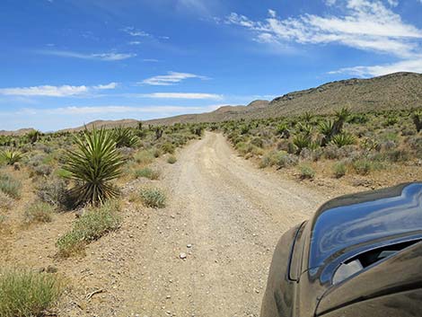
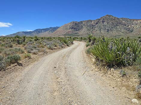
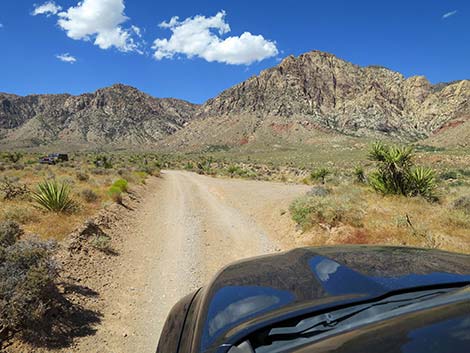 Lone Grapevine Road at a small parking area (view SW) |
 Lone Grapevine Road approaching curve to the left (view SW) |
 Lone Grapevine Road curves to the left (view SW) |
 Parking for bike trails at the curve (view SW) |
 Lone Grapevine Road continues past the curve (view SE) |
 Lone Grapevine Road (view S) |
 Parking for bike trails at another curve (view S) |
 Lone Grapevine Road continues past the curve (view SE) |
 |
 |
 Lone Grapevine Road (view SE) |
 Lone Grapevine Road approaching curve to the right (view SE) |
 Lone Grapevine Road curving to the right (view S) |
 Limited parking for bike trails at this curve (view SW) |
 |
 |
 Lone Grapevine Road dips through a wash (view SE) |
 Lone Grapevine Road (view SE) |
 |
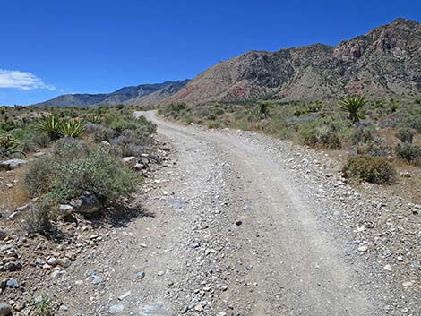 |
 Lone Grapevine Road approaching Wildhorse Road (view SW) |
 Lone Grapevine Road ends at Wildhorse Road (view SW) |
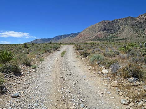
 Wildhorse Road (view SE from Lone Grapevine Road) |
 Wildhorse Road (view SW from Lone Grapevine Road) |
Table 1. Backroad Coordinates (NAD27; UTM Zone 11S). Download Roadway GPS Waypoints (*.gpx) file.
| Site | Location | Easting | Northing | Elevation | Latitude | Longitude | Verified |
|---|---|---|---|---|---|---|---|
| 0519 | Charleston Blvd at Scenic Loop Entrance | 642120 | 3999525 | 3,681 | 36.13183 | 115.42059 | Yes |
| 0848 | Hwy 160 at Blue Diamond Rd | 647933 | 3988875 | 3,169 | 36.03498 | 115.35801 | Yes-2 |
| 1072 | Late Night Parking | 641416 | 3986150 | 3,930 | 36.01139 | 115.43080 | GPS |
| 1075 | Lone Grapevine Trailhead Parking | 639480 | 3986554 | 4,036 | 36.01531 | 115.45221 | GPS |
| 1081 | Late Night Parking at Black Velvet Rd | 641548 | 3986183 | 3,938 | 36.01167 | 115.42934 | GPS |
| 1082 | Black Velvet Rd at Lone Grapevine Rd-1 | 641294 | 3988096 | 3,718 | 36.02895 | 115.43182 | GPS |
| 1083 | Black Velvet Rd at Lone Grapevine Rd-2 | 641296 | 3988152 | 3,717 | 36.02945 | 115.43179 | GPS |
| 1084 | Lone Grapevine Rd at Mud Spring #2 Parking | 640531 | 3987780 | 3,796 | 36.02621 | 115.44034 | GPS |
| 1085 | Lone Grapevine Rd at Wildhorse Rd | 639781 | 3986369 | 4,056 | 36.01360 | 115.44891 | GPS |
Happy Hiking! All distances, elevations, and other facts are approximate.
![]() ; Last updated 240330
; Last updated 240330
| Backroads | Hiking Around Las Vegas | Glossary | Copyright, Conditions, Disclaimer | Home |