 |
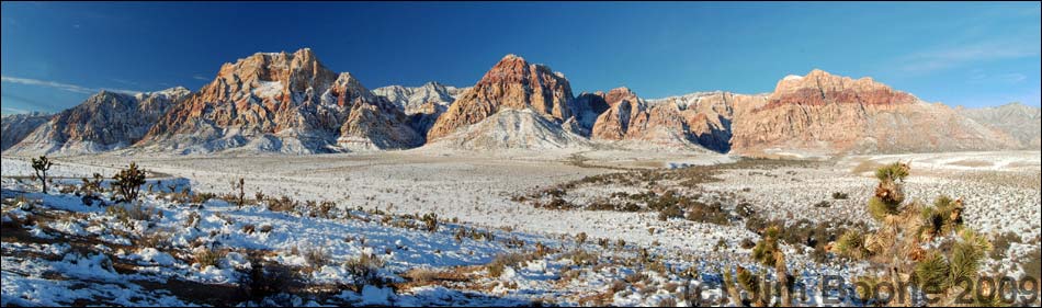
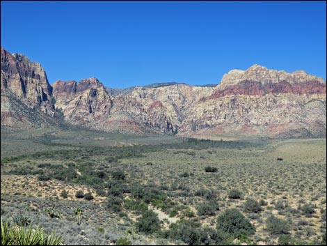
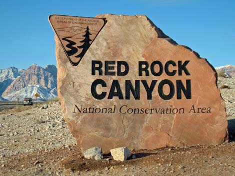
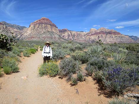
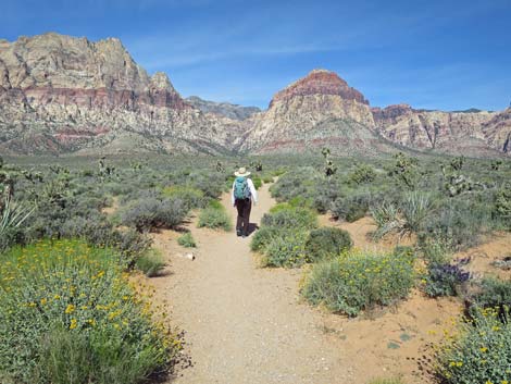
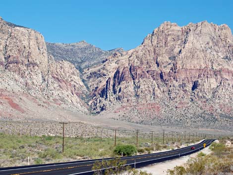
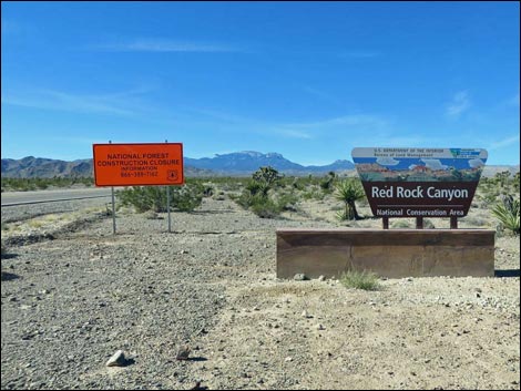
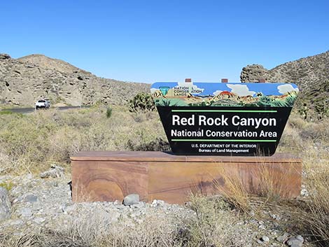
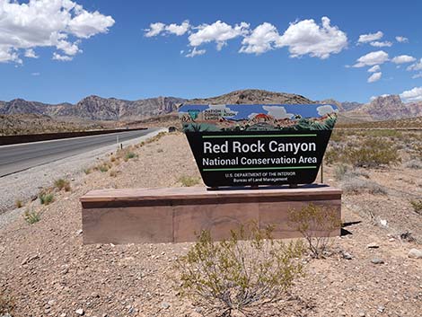
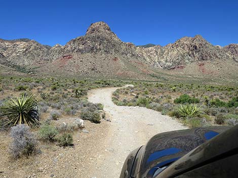
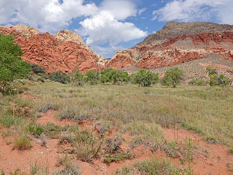
OVERVIEW Red Rock Canyon National Conservation Area is located on the west edge of the Las Vegas Valley and includes the red and white sandstone cliffs that can be seen from most places in town, plus the foothills of the Spring Mountains. The scenery is spectacular and always worth a visit. The sandstone cliffs lie up against the Spring Mountains, and as the name implies, there are many springs and other water out there. Many of the hikes lead up narrow canyons to creeks and waterfalls, which during summer give a nice respite from the heat. During winter, full-sun hikes can be warm and delightful. Red Rock Canyon National Conservation Area is large (197,000 acres), but many locals refer to the Scenic Loop Road area as "Red Rocks." When locals say that they are going to Red Rocks, they usually mean that they are going to the Scenic Loop area, which is only a small and crowded portion of the National Conservation Area. Vast areas outside the Scenic Loop are protected for nature and recreation. |
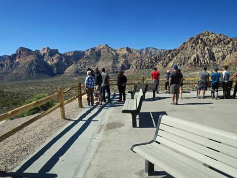 |
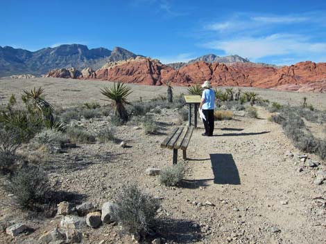
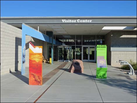
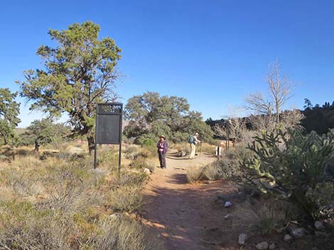
The Visitor Center is located near the start of the one-way, Scenic Loop Road. Stop at the Visitor Center to learn about the area, then drive around the Scenic Loop Road. This is a 12-mile, one-way road, so get a map and plan your trip so that you don't pass something that might interest you. You can always drive the loop again, but good planning will save you some time and gasoline. The Scenic Loop provides access to a number of scenic overlooks and hiking areas, plus bird watching areas and picnic areas. As you drive the loop, you will pass the two Calico Hills Overlook areas, Sandstone Quarry, the Scenic Overlook, White Rock Springs, Willow Springs and Lost Creek, Icebox Canyon, Pine Creek, and the turn off to Oak Creek Canyon. Except for the Scenic Overlook, all of these are trailheads. GETTING TO RED ROCKS Link to map. For Lyft and Uber users, there is no cell service or wifi at the Visitor Center. This has resulted in people getting a ride out to the Visitor Center, but then being stranded when they want to get to a trailhead or back to town. |
 |
Timed Entry Reservation System Red Rocks is implementing a "Timed Entry" reservation system that will be active during the busy time of year. A Timed Entry Permit is required to enter the Scenic Loop Road from 8:00 am to 5:00 pm during November 3 through May 31. The Timed Entry Permit is for a vehicle, not for people in the vehicle. A Timed Entry Permit allows entry at the top of each hour with an allowance for 30-minute early arrival and 30-minute late arrival. For example, with a 9:00 am Timed Entry Permit, visitors can enter the Scenic Loop Drive between 8:30 am and 9:30 am Reservations are available through the Recreation.gov website and cost $2 each per day (plus the entry fee). All of the rest of Red Rock Canyon NCA remains free, and reservations are not required. For details, see Frequently Asked Questions on Timed Entry Permit System at Red Rock Canyon National Conservation Area. |
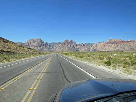 |
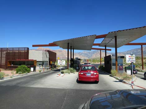
Driving Directions Red Rock Canyon National Conservation Area is located on the west edge of the Las Vegas Valley, about 30 minutes from downtown. A good place to start your visit is the Visitor Center on West Charleston Blvd. From town, drive out to the intersection of West Charleston Blvd. and the Western Beltway (Highway 215) (Table 1, Site 0516). From the intersection, drive west on West Charleston for 5.3 miles to Scenic Loop Road (Site 0519). Turn right onto Scenic Loop Road and drive for 0.2 miles to the Entrance Station. Pay the entrance fee and proceed to the Visitor Center (Site 0389), which you can see from the Entrance Station. Red Rocks and the Scenic Loop also can be reached from the south. From Las Vegas, drive west on Hwy 160 (Pahrump Highway) to Highway 159 (Blue Diamond Road) (Site 0848). Turn right onto Highway 159 and drive north for 10.6 miles to the Scenic Loop. Start by following signs to Blue Diamond. |
 |
HOURS The Visitor Center is open from 8:00 AM to 4:30 PM daily except Thanksgiving, Christmas, and New Years, including the eves. The Scenic Loop Road opens every day at 6 AM, but it closes at different times during the different seasons. During winter, the Scenic Loop Road closes at 5 PM, during spring and fall, it closes at 7 PM; and during summer, it closes at 8 PM (watch for signs). In general, the road is open from about sunrise to sunset. ENTRANCE FEES Access to the Scenic Loop Road area (including the Visitor Center) costs $15 per day per car or $30 for a Red Rocks Annual pass. National Lands Passes, Senior Passes, and other passes are also accepted. Motorcycles are $10 per day, and bicycles and pedestrian cost $5 per day. All areas off the Scenic Loop Road are open sunrise to sunset and admission is free, although this is likely to change for Calico Basin. |
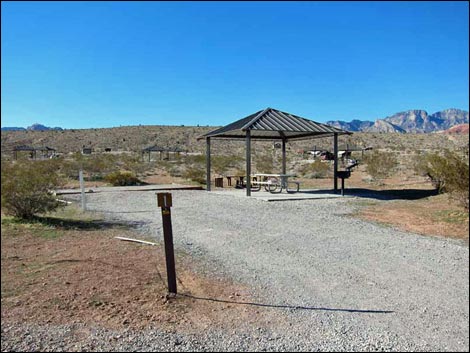 |
CAMPING Backpacking and overnight permits can be arranged at the Visitor Center, but backcountry camping is only permitted above about 5,000 feet elevation. Wood fires are illegal. There is one drive-in campground, Red Rock Campground (formerly Moenkopi Campground), which is located off Charleston Blvd about halfway between the Beltway (Highway 215) and the entrance to the Scenic Loop Road. Driving west on Charleston, turn left onto Moenkopi Road and drive south to the end of the road. You can see the campground from atop a hill before you get to the end of the road. The campground usually is closed during summer. Nightly costs are $20 for individual campsites, $10 for walk-in campsites and $60 for group campsites (2018). |
 |
WATCH OUT Other than the standard warnings about hiking in the desert, ...this is a pretty safe place, but people fall off the cliffs and die at Red Rocks every year. Extreme caution should be exercised anytime you are high enough to fall and get hurt. Red Rocks is a winter-time mecca for technical rock climbers, but don't let watching the experts goad you into doing something you shouldn't. Also, the Scenic Loop Road is popular with walkers, bicyclists, and high-performance motorcycles, so drive carefully and look both ways before crossing the road. The Scenic Loop Road is a one-way road, however, I've seen people driving and riding bikes the wrong way, so watch out for idiots too. In case of emergency, call 702.515.5350 between 8 AM and 5 PM. After 5 PM, call 702.293.8998 or 911. Emergency phones are located along the Scenic Loop Road at Sandstone Quarry, the turnoff to White Rock Spring, Ice Box Canyon, and Pine Creek. |
 |
SOME RULES AND REGULATIONS As the name implies, this is a conservation area. Do not collect plants, rocks, fossils, or artifacts, and do not disturb the wildlife or feed the burros. Drive only on roads. Pack it in, pack it out. Get permits for backcountry camping at the Visitor Center. Backpackers can cook with stoves, but collecting wood, including dead or down wood, is prohibited. Pets must be on a leash (six foot maximum) and under physical control at all times. Never leave your pet in a closed vehicle because temperatures inside a car parked in the sun can exceed 120 degrees in just a few minutes, quickly cooking your pet. Ditto for kids in cars. FOR MORE INFORMATION For more information, visit the official Red Rock Canyon website or give them a call at (702) 515-5350 between 8:00 AM and 4:30 PM. The Friends of Red Rock Canyon also have a nice website with good information. |
 |
 |
 |
|
 |
 |
 |
 |
 |
 |
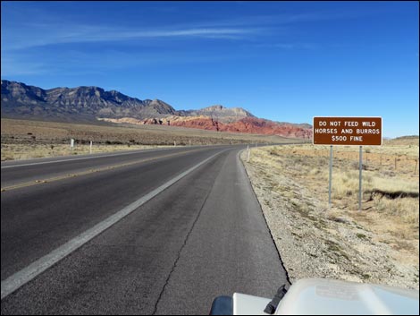 Pay attention to highway signs! |
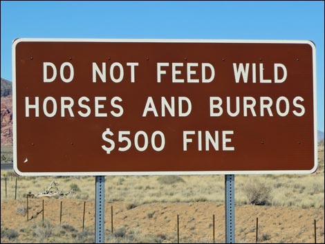 Do Not Feed Wild Horses and Burrows $500 Fine |
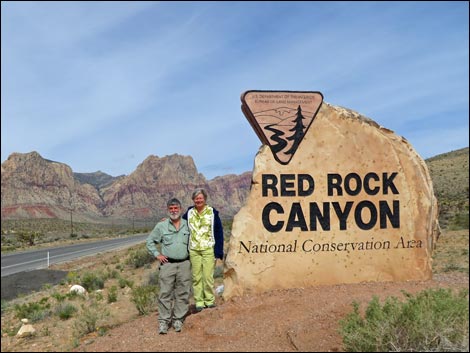 Entrance sign along West Charleston Blvd (view W) |
 West Charleston Blvd (view NW) |
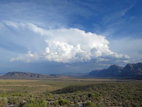 Stormy day at Red Rock Canyon |
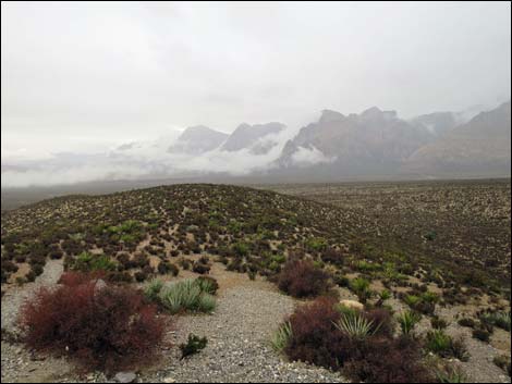 Stormy day at Scenic Loop Highpoint (view S) |
 Red Rock Canyon boundary sign on Lee Canyon Road (view E) |
 Red Rock Canyon boundary sign on Kyle Canyon Road (view E) |
 Red Rock Canyon boundary sign on Highway 160 (view W) |
 Backroad opportunities in Wildhorse Valley |
 Baja California Treefrog |
 Ash Canyon in Calico Basin |
Table 1. Highway Coordinates (NAD27; UTM Zone 11S). Download Highway GPS Waypoints (*.gpx) file.
| Site # | Location | Latitude (°N) | Longitude (°W) | UTM Easting | UTM Northing | Elevation (feet) | Verified |
|---|---|---|---|---|---|---|---|
| 0389 | Red Rocks Visitor Center | 36.1358 | 115.4270 | 641539 | 3999954 | 3,790 | Yes |
| 0516 | Charleston at the Beltway | 36.1592 | 115.3358 | 649697 | 4002685 | 3,141 | Yes |
| 0519 | Charleston at Scenic Loop Road (entrance) | 36.1319 | 115.4207 | 642112 | 3999532 | 3,710 | Yes |
| 0848 | Highway 160 at Blue Diamond Road | 36.0351 | 115.3581 | 647927 | 3988884 | 3,140 | Yes |
Happy hiking! All distances, elevations, and other facts are approximate.
Note: All distances, elevations, and other facts are approximate.
![]() ; Last updated 240322
; Last updated 240322
| Birding Around Las Vegas | Hiking Around Las Vegas | Glossary | Copyright, Conditions, Disclaimer | Home |