Hiking Around Las Vegas, Red Rock Canyon National Conservation Area

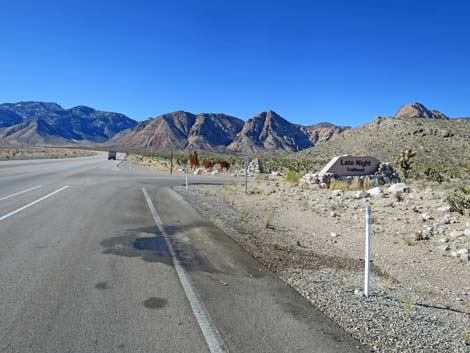
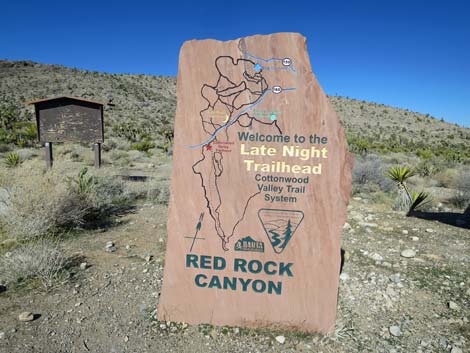 Late Night Trailhead sign (view N) |
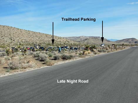
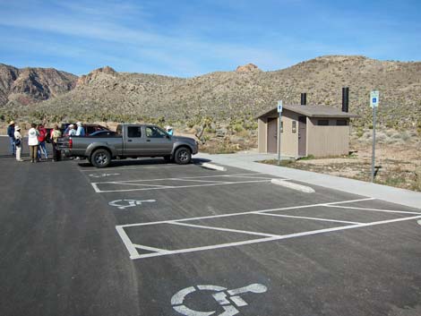
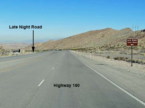
Late Night Trailhead is located in Red Rock Canyon National Conservation Area, about 50 minutes west of Las Vegas, but not in the Scenic Loop Road fee area. The trailhead is located on Highway 160, west of the intersection with Highway 159 (West Charleston Blvd). This trailhead is not in the fee area. From town, drive out to Red Rocks. From West Charleston Blvd at the entrance to the Scenic Loop Road (Table 1, Site 0519), continue west on Charleston Blvd (Hwy 159) all the way past Blue Diamond town to Highway 160 (Site 0848). Turn right onto Highway 160, towards Pahrump, and drive west for 4.7 miles. Watch for a paved, right turn lane and the parking area off to the right. Watch for the highway sign. Turn right onto Late Night Road (Site 1076) and drive into the paved parking area. Most people park near the vault toilets (Site 1072). Park here; this is the trailhead. Link to trailhead map. |
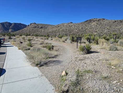
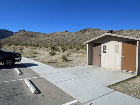 Westbound trails start adjacent to the restrooms (view W) |
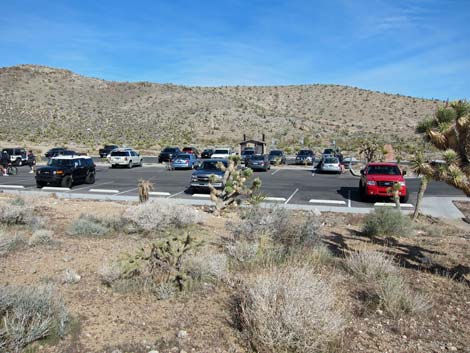
The Late Night Trailhead primarily is used by mountain bike riders to access the Cottonwood Valley North bike trail system; however, it also provides access to miles of fairly easy hiking and Black Velvet Road. Trails: Lone Grapevine Spring, Mud Spring #1, Mud Spring #2, Wooden Fence Spring, Late Night Trail, Black Velvet rock climbing area, Mustang Trail. Although not a "trail," this trailhead also provides access to the Old Spanish Trail, which runs right through the parking area. |
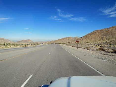
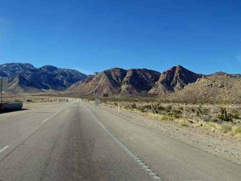 Highway 160 approaching Late Night Road (view W) |
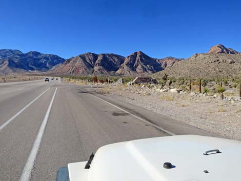 Highway 160 exit lane for Late Night Road (view W) |
 Highway 160 at Late Night Road (view W) |
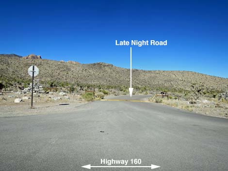 Late Night Road (view N from Highway 160) |
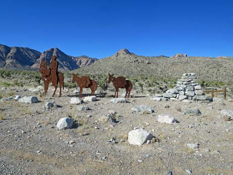 Art at the Highway 160 turn-off (view NW) |
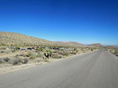 Late Night Access Road (view SW) |
 Late Night Access Road (view SW) |
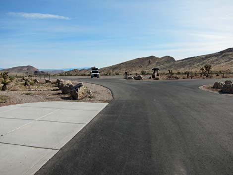
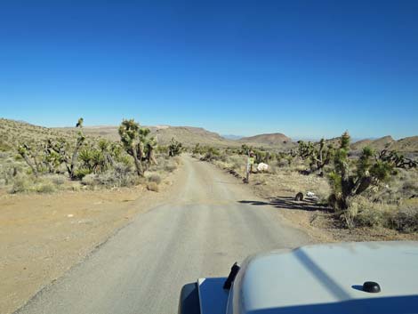
 Late Night Trailhead (view N from Access Road) |
 |
|
 Trailhead parking at west end (view W) |
 Restroom and trailhead parking at west end (view W) |
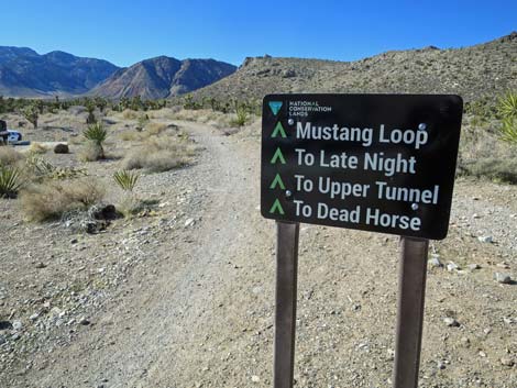
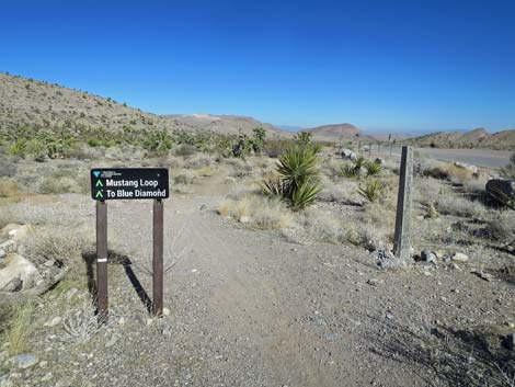
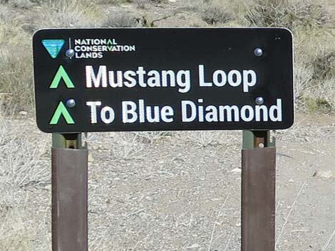
Westbound Trails
|
 |
 |
 |
Eastbound Trails
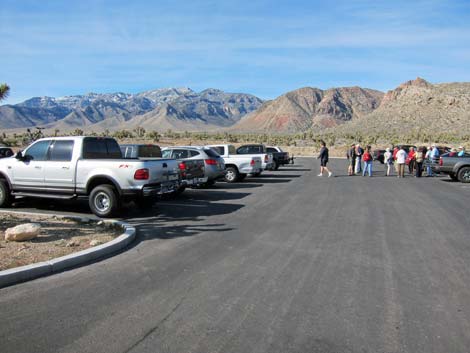
 East end of parking area (view NE) |
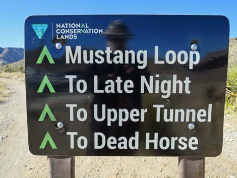
 Eastbound trail sign (view NE) |
 Eastbound trail sign (view NE) |
 More to come ... |
Black Velvet Road
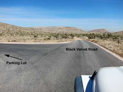 Black Velvet Road exiting from east end of parking area (view NE) |
 Start of Black Velvet Road (view NE) |
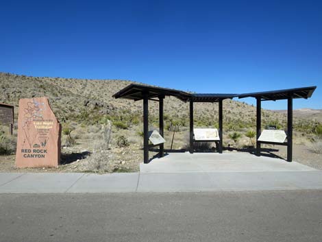
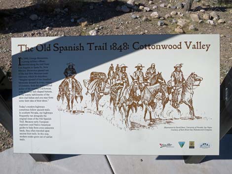
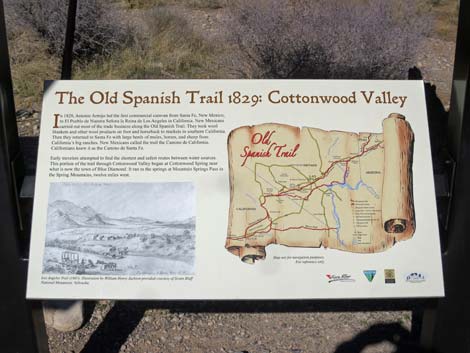
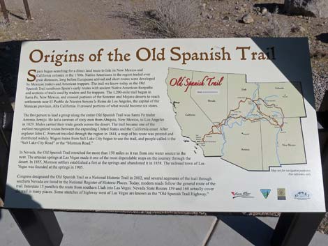
Old Spanish Trail Information Signs
|
 |
 |
 |
Highway 160 Eastbound Access
 Highway 160 eastbound approaching Late Night Road (view NE) |
 Highway 160 eastbound approaching Late Night Road (view NE) |
Table 1. Highway Coordinates (NAD27; UTM Zone 11S). Download Highway GPS Waypoints (*.gpx) file.
| Site | Comment | Easting | Northing | Elevation | Latitude | Longitude | Verified |
|---|---|---|---|---|---|---|---|
| 0519 | Charleston Blvd at Scenic Loop Entrance | 642120.00 | 3999525.00 | 3,681 | 36.13183 | 115.42059 | Yes |
| 0848 | Hwy 160 at Blue Diamond Rd | 647933.15 | 3988874.78 | 3,169 | 36.03498 | 115.35801 | Yes-2 |
| 1072 | Late Night Trailhead | 641416.46 | 3986149.66 | 3,930 | 36.01139 | 115.43080 | GPS |
| 1076 | Hwy 160 at Late Night Trailhead Rd | 641370.55 | 3985950.49 | 3,960 | 36.00960 | 115.43135 | GPS |
Happy Hiking! All distances, elevations, and other facts are approximate.
![]() ; Last updated 240330
; Last updated 240330
| Hiking Around Red Rocks | Hiking Around Las Vegas | Glossary | Copyright, Conditions, Disclaimer | Home |