Hiking Around Las Vegas, Gold Butte National Monument, Lime Canyon Wilderness Area
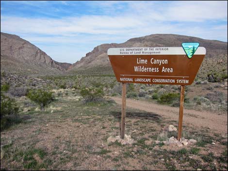 Lime Canyon Rd and sign (view W from Byway) Sign was vandalized |
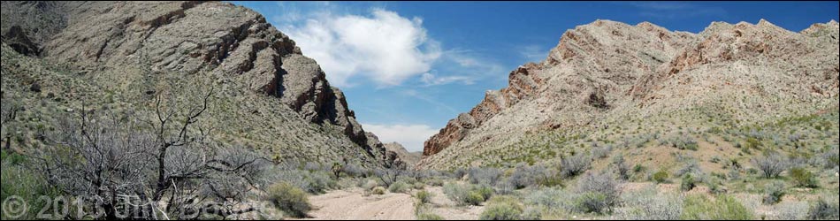
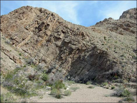
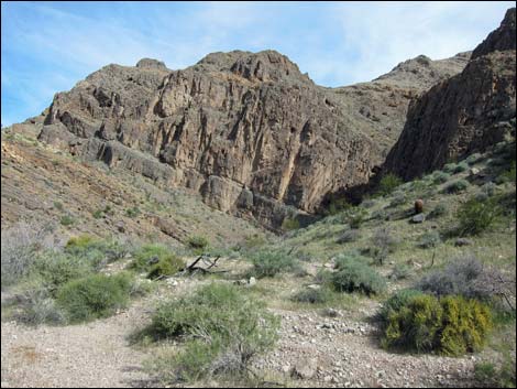
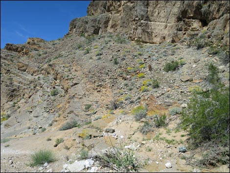
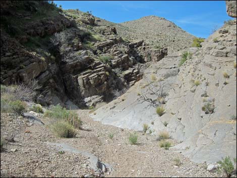
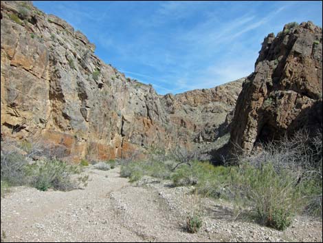
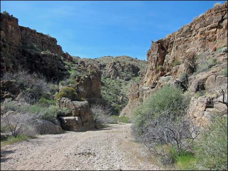
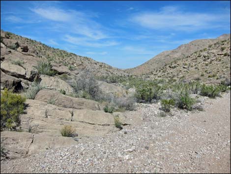
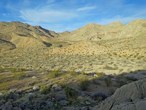
Overview The geology of the Lime Canyon Wilderness Area is complex, but the main feature is Lime Ridge, actually a series of parallel ridges, there was caused by the tilting and uplifting of limestone sedimentary rocks. The uplifted ridges blocked existing drainage systems and formed lakes, but eventually one lake overflowed the ridge and cut a new water course. As the ridge continued to uplift, the water continued to cut down, resulting in the deep, narrow canyon and the odd geologic structures that we see today. Lime Canyon Wash makes for a fairly easy and interesting route that winds past seven narrow sections as it cuts through the heart of Lime Ridge. Described here is a 4-mile round-trip hike down through the best of the narrow canyon to a Lunch Spot with grand views to the west. Should hikers desire, they can continue down the wash following routes of 8 and 11 miles round-trip (Lower Lime Canyon and Two Forks Loop, respectively) to geologically interesting places. Link to hiking map or elevation profile. |
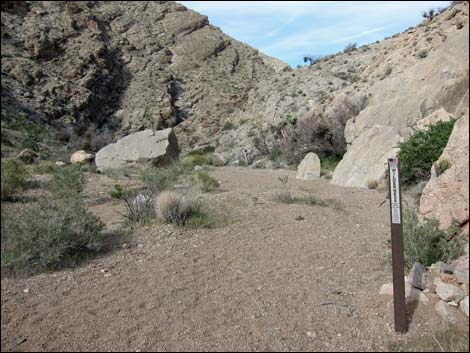
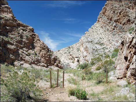 Cable fence at Lime Canyon Trailhead (view W) |
Watch Out Other than the standard warnings about hiking in the desert, ...this is a safe hike, but the area is wild and remote. I encountered no unusual hazards, but be careful out here because even a twisted ankle could be serious. This is a wild and remote area without services of any kind (no restrooms, no water, no gas, no food). Bring what you need to survive. Be prepared and be self-reliant. Someone will find you eventually if you stay on a main road, but be prepared to survive alone for a day or two. Cell phones only work along parts of the paved road and in the lowest reaches of Lime Wash near Lake Mead. While hiking, please respect the land and the other people out there, and try to Leave No Trace of your passage. Also, this is a remote hike, so be sure to bring the 10 Essentials. This hike goes into a federally designated wilderness area, so pay extra attention to respecting the land. |
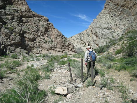 Hiker at cable fence (view W) |
Getting to the Trailhead Lime Canyon is located out in Gold Butte National Monument at the northeast end of Lake Mead, about 3 hours northeast of Las Vegas in a wild, remote, and scenic area. From town, drive out to Gold Butte National Monument. From Whitney Pocket, continue south on the unpaved Gold Butte Road 20 miles to Gold Butte Townsite. From Gold Butte Townsite, drive north on Red Bluff Spring Road. At about 3.4 miles out, a sign on the left used to announce the Lime Canyon Wilderness Area, but it was vandalized and only the broken sign posts remain. Lime Canyon Road branches left to run west 1.0 miles and dead-ends at the start of the Line Canyon Narrows. This road usually is suitable for 2WD-HC vehicles. Park here; this is the trailhead. |
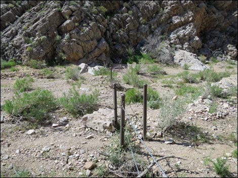 Cable fence stretches across the wash (view S) |
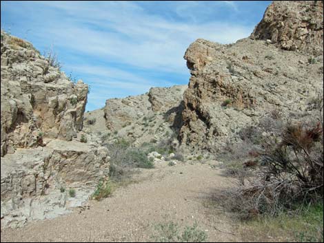
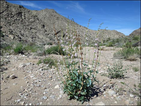
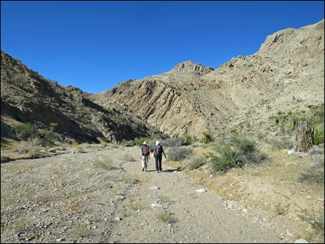
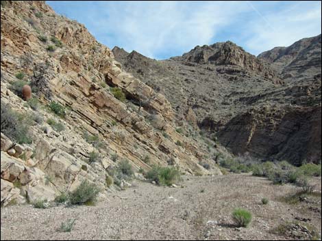
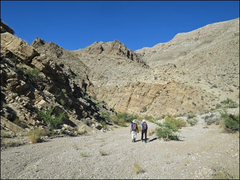
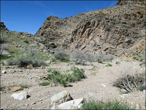
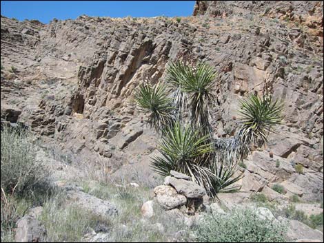
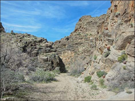
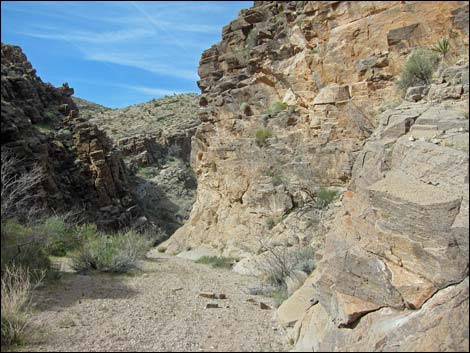
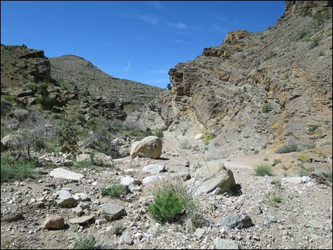
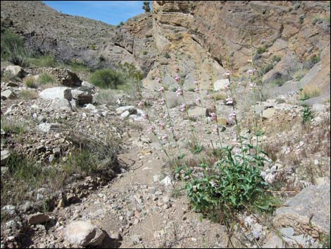
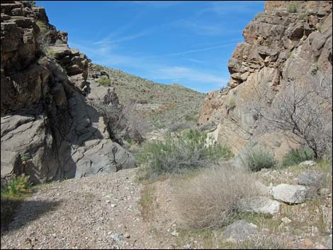
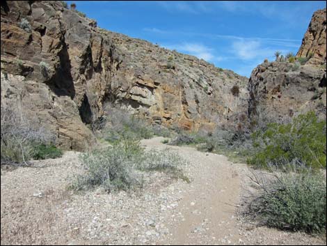
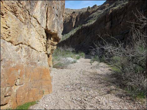
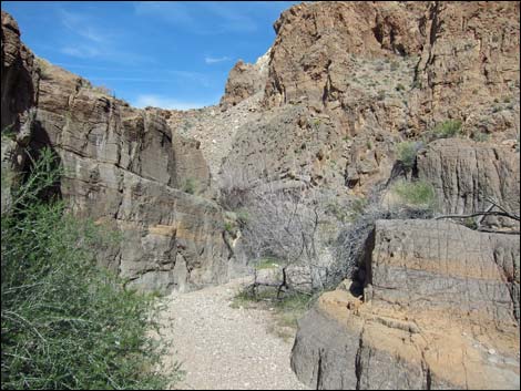
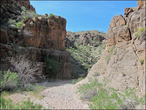
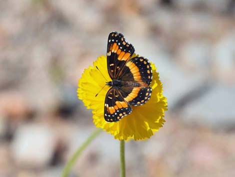
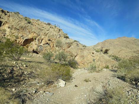
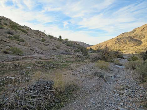
The Hike From the trailhead (Table 1, Waypoint 01), the route starts through a man-gate in the post-and-cable fence and heads down into the canyon. Just around the first bend, carsonite signs announce the wilderness area boundary, and big boulders block the wash but are easy to bypass. The canyon is deep, winding, and fairly narrow with spectacular limestone cliffs that rise hundreds of feet to the crest of Lime Ridge. The vertical walls the border the wash never are truly high, but they are pretty high, and every now and then the canyon narrows a bit such that there are several "narrows" in the canyon. As is typical in limestone-cliff country, the canyon walls are nicely layered, and the ledges provide habitat for California Barrel Cactus, Johnson's Fishhook Cactus, and several shrub species. Vegetation in the wash is more diverse, and the more common species include Catclaw Acacia, Desert Willow, Nevada Jointfir, Desert Almond, Indigo Bush, Buckhorn Cholla, and a variety of sunflower species. |
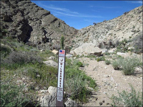 Wilderness Area boundary sign (view W) |
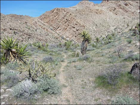
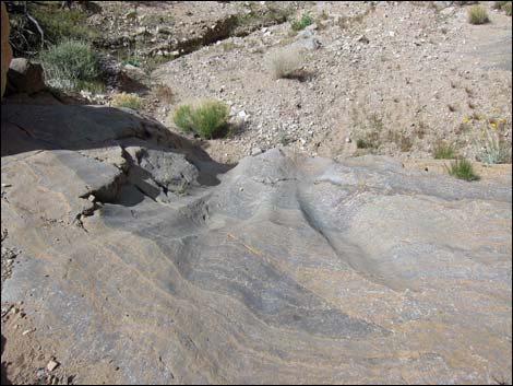
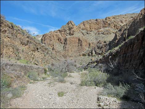
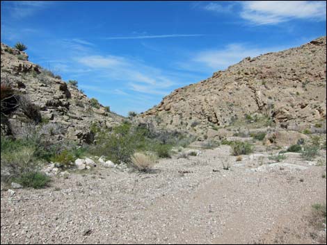
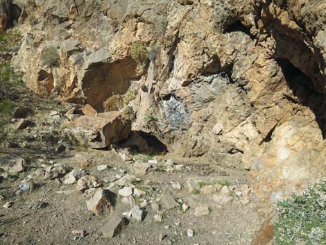
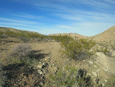
Where there are rocky slopes between the wash and the cliffs, vegetation high in the canyon includes Joshua Tree, Mojave Yucca, Engelmann's Hedgehog Cactus, and Utah Agave, but farther down shrubs are less diverse. The layered rocks look as if they should be fossiliferous, and I did find some curiosities, but the best fossils were at the trailhead and not far below there. It seems that only one rock layer near the top of the series (the geologically youngest layers) is particularly full of Paleozoic Brachiopod fossils. The upper part of the canyon winds back and forth quite a bit, and it takes about 1.6 hiking-miles to go 1.0 air-miles. This, however, gets hikers through the narrowest parts of the canyon and out towards the west side of Lime Ridge (Wpt. 04) where the canyon starts to open up. |
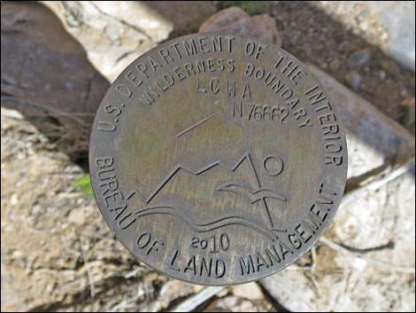 Wilderness Area boundary benchmark |
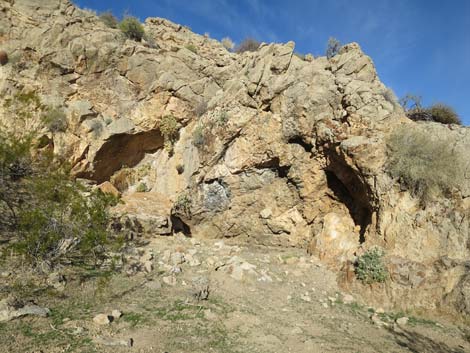
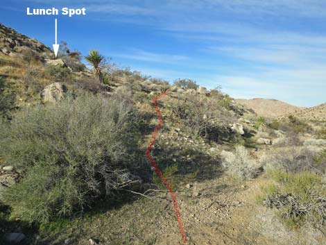
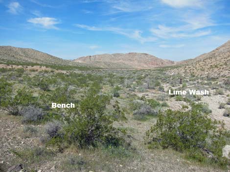
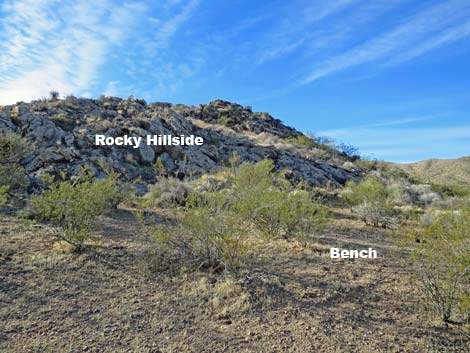
Continuing downhill, the wash runs almost straight for about 0.20 miles, at which point a rocky cliff on the left forces the wash to the right. Just above the wash in the crook of the curve, there is what appears to be a habitation site (Wpt. 05). Two shallow alcoves show campfire soot, and the floor of the site has been leveled out. Now used by feral cows and burros seeking summer shade, it is impossible to tell whether this site was used by native people or cowboys. Just around the corner on the other side of the rocky outcrop from the habitation site, a faint animal trail (Wpt. 06) leaves the wash to the left and climbs onto the creosote bush-covered bench. On the bench, a few yards on the left, limestone boulders provide an elevated perch upon which to stop and enjoy lunch (Wpt. 07) with grand views down Lime Wash to the west. When ready, either continue down Lime Wash following the Lower Lime Canyon route, hike all the way around the Two Forks Loop, or just retrace your footprints and return back up through Lime Canyon to the trailhead (Wpt. 01). |
 Another Wilderness boundary sign (now washed away) |
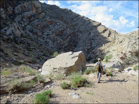 Boulders block the canyon (view W) |
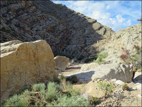 Boulders block the canyon (view W) |
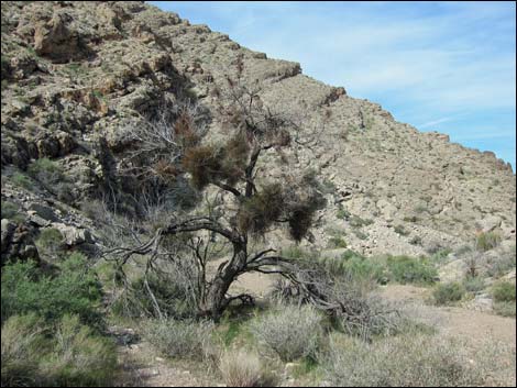 Enormous catclaw acacia tree |
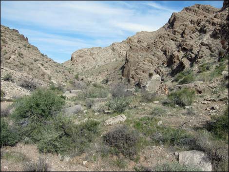 Lime Canyon (view NW) |
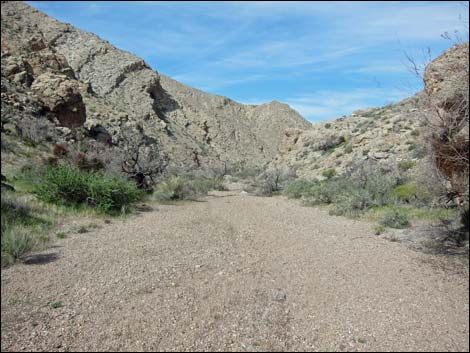 Broad, gravel wash |
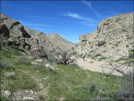 Hiker in the wash |
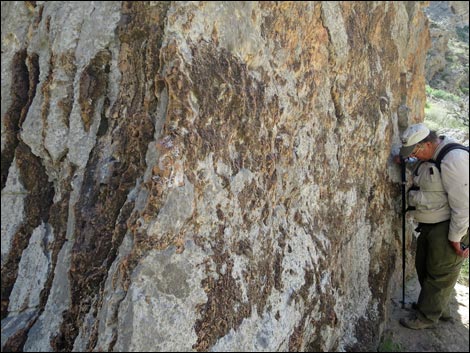 Hiker looking at fossils in large boulder |
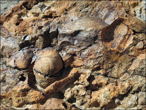 Brachiopod fossils |
 Easy walking in Lime Wash |
 Lots of Palmer's Penstemon in Lime Wash |
 Watch for animal trails parallel to the wash bottom |
 |
 |
 |
 |
 |
 |
 |
 |
 |
 |
 Steepest part of the wash |
 A hard layer of limestone creates a 3-ft pour-over |
 More penstemons |
 More narrow parts |
 More narrow parts |
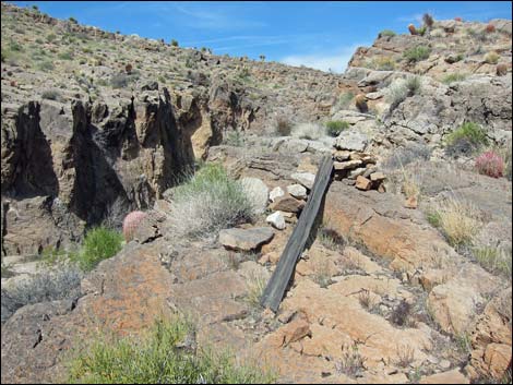 Old mining claim markers |
 |
 |
 |
 |
 |
 |
 Last of the narrow spots |
 Keep an eye out for the little things |
 Canyon walls begin to lay back |
 Almost a view out of the canyon |
 Approaching the habitation site (view NW) |
 Habitation site (view NW) |
 Habitation site, now used by feral cows and burros (view W) |
 Toe of the rocky ridge just beyond the habitation site (view W) |
 Lightly used animal trail leaves the wash (view W) |
 Lightly used animal trail climbs onto bench above wash (view W) |
 Bench overlooks the wash (view W) |
 Backside of habitation ridge; seating at the Lunch Spot (view S) |
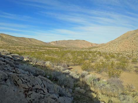 Lunch stop (view W down Lime Wash) |
 Lunch stop (view WW across Lime Wash) |
Table 1. Hiking Coordinates Based on GPS Data (NAD27; UTM Zone 11S). Download Hiking GPS Waypoints (*.gpx) file.
| Wpt. | Location | UTM Easting | UTM Northing | Elevation (ft) | Point-to-Point Distance (mi) | Cumulative Distance (mi) |
|---|---|---|---|---|---|---|
| 01 | Trailhead | 746804 | 4022003 | 2,884 | 0.00 | 0.00 |
| 02 | Big Crook in Wash | 746226 | 4022093 | 2,789 | 0.43 | 0.43 |
| 03 | Top of Next Narrows | 746063 | 4022435 | 2,717 | 0.36 | 0.79 |
| 04 | Below the Narrows | 745357 | 4022734 | 2,576 | 0.81 | 1.60 |
| 05 | Habitation Site | 745083 | 4022889 | 2,582 | 0.20 | 1.80 |
| 06 | Animal Trail Leaves Wash | 745077 | 4022964 | 2,552 | 0.06 | 1.86 |
| 07 | Lunch Rocks | 745032 | 4022954 | 2,552 | 0.04 | 1.90 |
| 01 | Trailhead | 746804 | 4022003 | 2,884 | 1.90 | 3.80 |
Happy Hiking! All distances, elevations, and other facts are approximate.
![]() ; Last updated 240325
; Last updated 240325
| Hiking Around Gold Butte | Hiking Around Las Vegas | Glossary | Copyright, Conditions, Disclaimer | Home |