Hiking Around Las Vegas, Gold Butte National Monument, Lime Canyon Wilderness Area
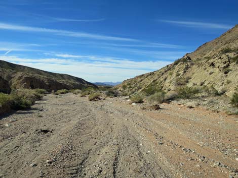
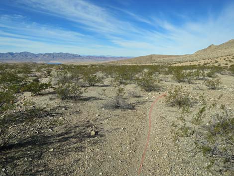
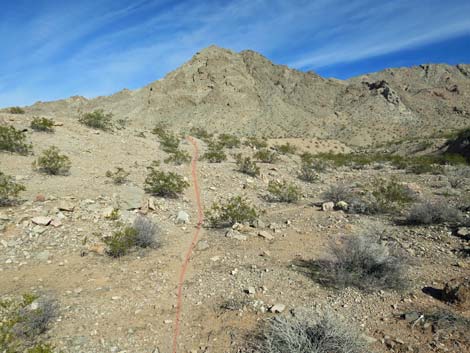
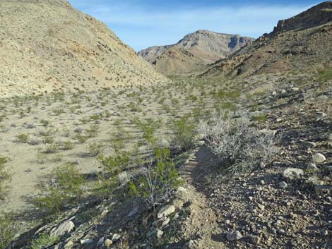
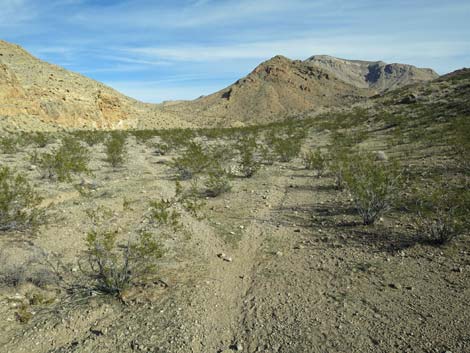
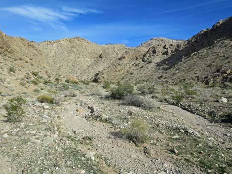
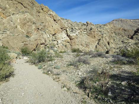
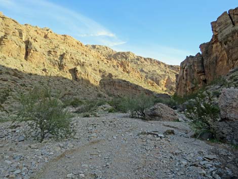
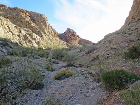
 Hiker departing the trailhead (view NW) |
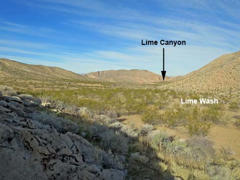
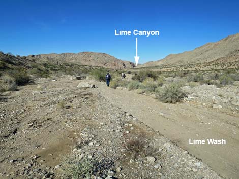
Overview Lime Canyon provides several routes ranging from short to long that give hikers opportunity to explore unusual geologic events. The shortest hikes wind visitors through a deep canyon that cuts across Lime Ridge exposing the heart of the mountain. A longer hike runs down into an area of colorful mudstone where tectonic forces juxtaposed rocks of very different colors and ages. Described here is an even longer (11-miles round-trip) hike to explore an unusual example of "stream capture." Stream capture occurs when a stream, flowing down a canyon, is diverted into another canyon. This hike descends through Lime Canyon (2 miles), then continues down Lime Wash into an area of curious conglomerates and colorful sandstone and mudstones (3 miles). The hike then runs down the left fork (New Lime Wash), climbs over a low ridge, and returns back up the right fork (Old Lime Wash) to the conglomerate area (8 miles), and then continues out to the trailhead (11 miles). Link to hiking map or elevation profile. |
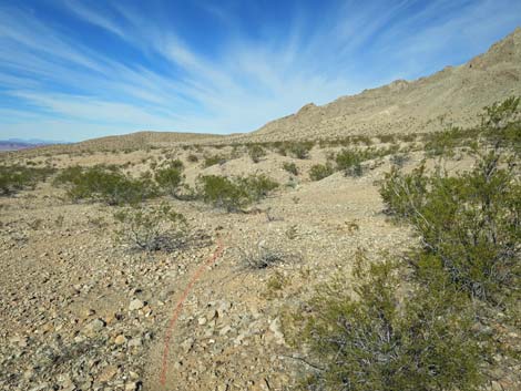
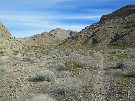
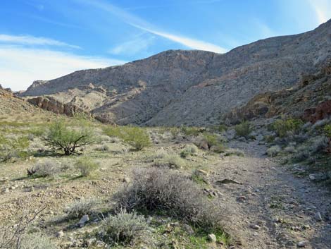
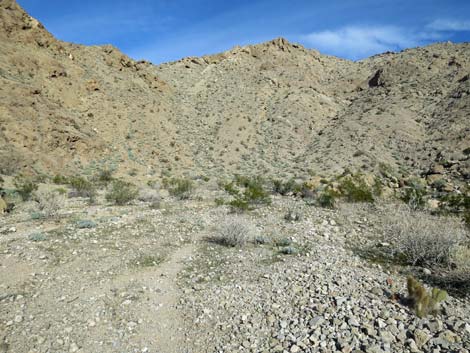
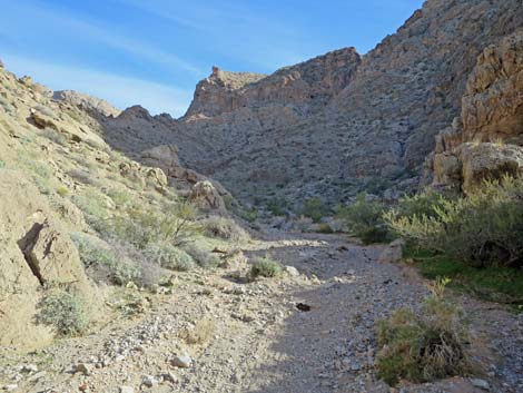
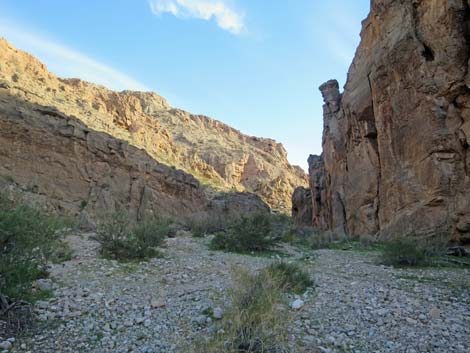
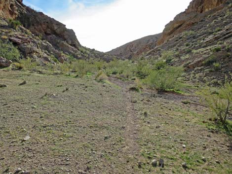
 Hikers in mid-canyon (view N) Hikers in mid-canyon (view N) |
Watch Out Other than the standard warnings about hiking in the desert, ...this is a fairly safe hike, but the area is wild and remote. I encountered no unusual hazards, and passing the 12-ft pour-over is fairly easy, but be careful because even a twisted ankle could be serious. There are two tall pour-overs, but both are easily bypassed, and some of the water-polished rocks in the lower narrows are slippery. This is a wild and remote area without services of any kind (no restrooms, no water, no gas, no food). Bring what you need to survive. Be prepared and self-reliant. Someone will find you eventually if you stay on a main road, but be prepared to survive alone for a day or two. Cell phones work when crossing the high ridges at the far west end of the loop. While hiking, please respect the land and the other people out there, and try to Leave No Trace of your passage. Also, this is a remote hike, so be sure to bring the 10 Essentials. This hike goes into a federally designated wilderness area, so pay extra attention to respecting the land. |
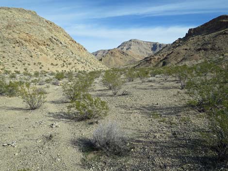
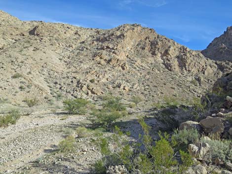
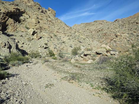
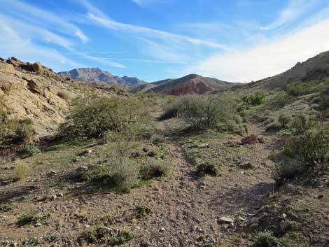
 Lunch spot (view NW down Lime Canyon) |
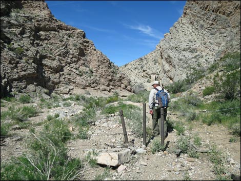
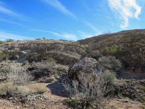
Getting to the Trailhead Lime Canyon is located out in Gold Butte National Monument at the northeast end of Lake Mead, about 3 hours northeast of Las Vegas in a wild, remote, and scenic area. From town, drive out to Gold Butte National Monument. From Whitney Pocket, continue south on the unpaved Gold Butte Road 20 miles to Gold Butte Townsite. From Gold Butte Townsite, drive north on Red Bluff Spring Road. At about 3.4 miles out, a sign on the left used to announce the Lime Canyon Wilderness Area, but it was vandalized and only the broken sign posts remain. Lime Canyon Road branches left to run west 1.0 miles and dead-ends at the start of the Line Canyon Narrows. This road usually is suitable for 2WD-HC vehicles. Park here; this is the trailhead. |
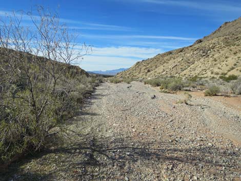
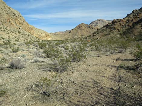
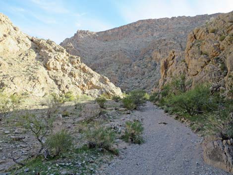
 Hikers in mid-canyon (view NW down Lime Canyon) |
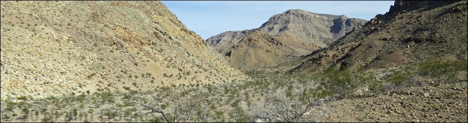
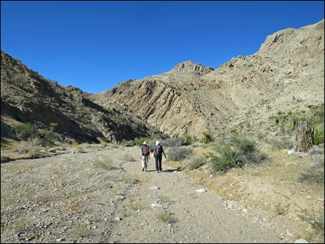
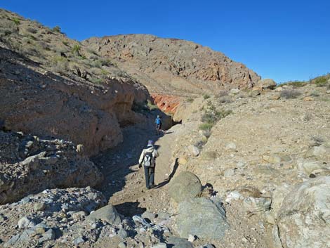
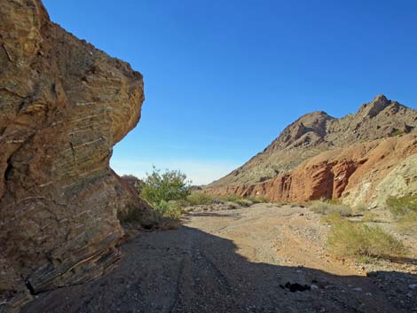
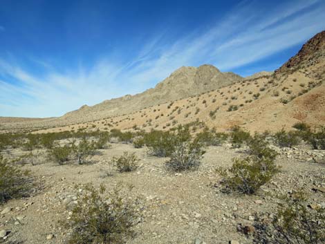
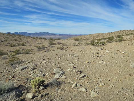
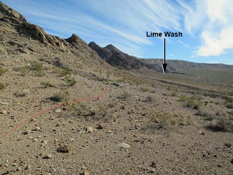
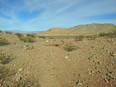
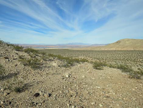
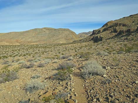
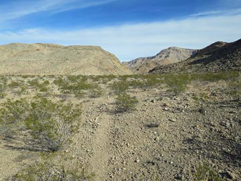
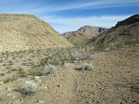
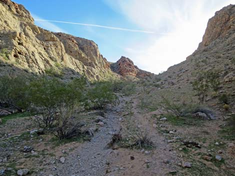
The Hike From the trailhead (Table 1, Waypoint 01), the route starts through the gate and down into the canyon. Just around the first bend, carsonite signs announce the wilderness area boundary. The route runs down the deep, winding, and fairly narrow canyon where spectacular limestone cliffs rise hundreds of feet to the crest of Lime Ridge. At about 2 miles out, the canyon opens onto a broad wash (almost a bajada) to the west. Limestone boulders (Wpt. 07) on the creosote-covered bench to the left provide an elevated perch upon which to stop and enjoy a snack with grand views down Lime Wash. From this rocky perch, it is apparent that Lime Wash continues flowing northwest hemmed in between a high mountain ridge on the right (north) and a lower mountain ridge on the left (south). At about 1 mile down the wash, hikers can see another north-south aligned ridge (parallel to Lime Ridge, proper) and that Lime Wash continues northwest to cut through the middle of that ridge, much like the cut that hikers just came through when descending Lime Ridge Canyon. |
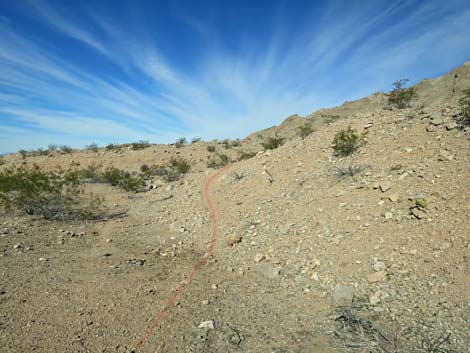
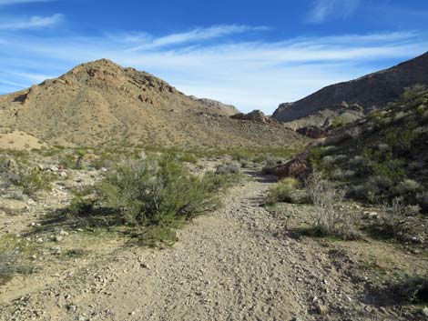
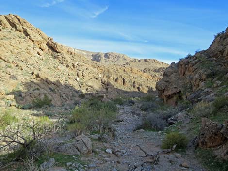
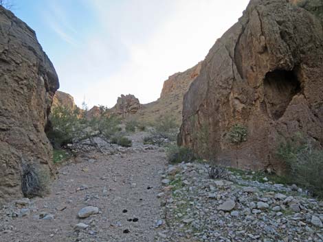
 Hikers approaching pour-over (view NW) |
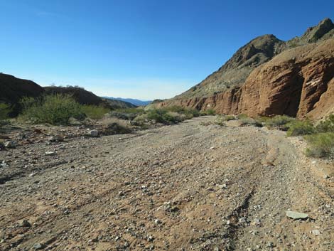
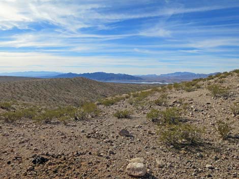
Continuing down Lime Wash, at about mid-wash, it appears even more apparent that Lime Canyon continues straight northwest to cut through the next north-south aligned ridge. However, at about 2.9 miles out, the landscape begins to change in interesting and unexpected ways. First, hikers start noticing conglomerate rocks cropping out of the wash bottom and then encounter a 4-ft-high pour-over where the wash begins cutting into the conglomerate layer. A few yards farther, hikers encounter a sudden and surprising pour-over where the wash cuts a narrow cleft into the conglomerate layer to form a 15- to 20-ft high pour-over (Wpt. 10) that cuts all the way through the conglomerate layer. This is the first clue that something unusual is happening here. There is no way to safely downclimb the pour-over because it drops through a narrow slot into a wide chamber, so hikers are forced to turn right out of the wash and bypass it. |
 Hikers following old road to bypass pour-over (view W) |
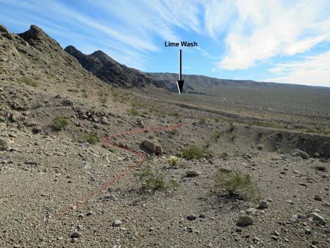
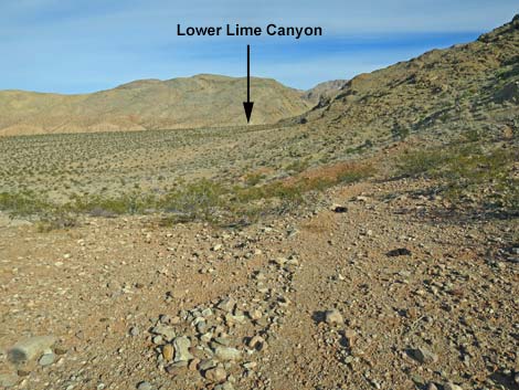
Bypassing the pour-over on animal trails and an old road, hikers soon realize that Lime Wash is taking an abrupt and unexpected turn to the south. The deep canyon through the ridge to the northwest, seen before from back up the wash, is not where the wash goes. Here is where the stream capture event occurred. In times of old, Lime Wash flowed to the northwest and down the deep canyon (Lower Lime Canyon). However, tectonic uplift possibly combined with massive debris flows coming down canyons along the high north ridge forced the wash against the lower ridge to the south. Eventually, storm waters flowed over the top of the south ridge, and the rest is history. Lime Wash now flows to the south from here (Wpt. 11), and the waters of Lime Wash no longer flow down Lower Lime Canyon. Looking down canyon, the waters of Lime Wash now flow into the left fork, while Lower Lime Canyon, the right fork, is left high and dry. This hike now turns south into Lime Wash (Wpt. 11). Eventually the route will circle back up through Lower Lime Canyon and return to this point. |
 Hikers atop the high pour-over (view SW) |
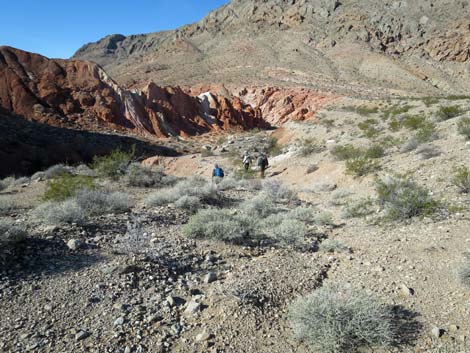
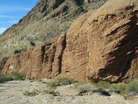
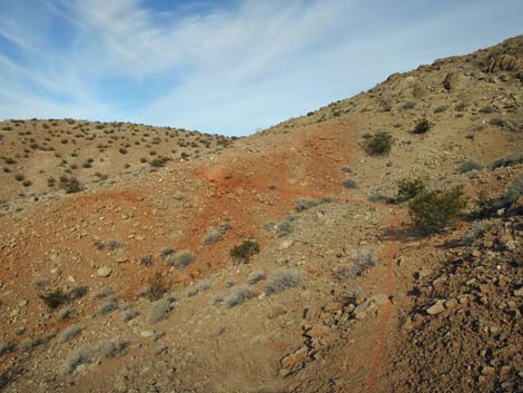
Following the wash downstream, the route passes the conglomerate pour-over on the north side using animal trails and an old road, then drops back into the bottom of the wash. Hikers can turn left and hike back up the wash into the narrow slot to examine the pour-over chamber from below. This area is geologically curious. The top of the pour-over and the slot are in a layer of conglomerate rock formed from what appears to be riverine alluvial materials. This conglomerate layer overlies a layer of mudstone deposits, and the interface of the two is a mixture of river cobbles and red muds. The mudstone layer is colorful, mostly composed of bright reds, but with yellows, light purples, and dark purples scattered about. When the area is wet from rain, the colors are even more striking. Continuing downhill, the wash hits the base of the carbonate hills (Wpt. 11), then curves south into the "side wash." The colorful canyon runs narrow for about 0.3 miles to a narrow slot (Wpt. 12). |
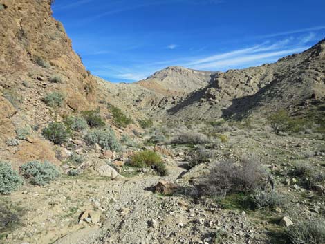
 End of the Lower Canyon (view SW) |
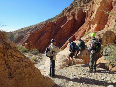
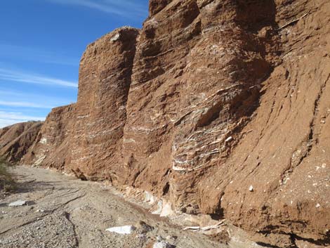
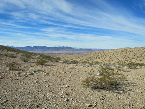
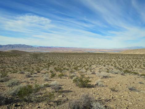
Passing through the narrow slot, the route soon arrives atop a pour-over (Wpt. 13) that appears to be an imposing 25-feet-high when viewed from above. The vertical fall is only about 12 feet (they always look higher from above), and the pour-over can be passed with a bit of 3rd-class downclimbing. From the top of the pour-over, follow ledges past a catclaw bush to the left, then head down to the dirt slopes below. Below the high pour-over, the colorful canyon continues for another 0.3 miles, then begins to open into a broad wash (Wpt. 14) where the mudstone on the right canyon wall is layered and cracked and intermixed with white and green layers. Not much father down, low mud cliffs on the left are composed of high percentages of gypsum. The shiny white crystals glisten in the sunlight and highlight the Las Vegas Bearpoppies and Palmer's Phacelia that thrive in these soils toxic to most other plant species. Farther down, the wash emerges from the wide canyon (Wpt. 15) onto a bajada that stretches to the shore of Lake Mead (Overton Arm), visible in the distance (about 2.5 miles). In this area, the wash bends a bit right to stay along the base of the mountain on the right, which is good because the route circles around this mountain. |
 Open wash below Lower Canyon (view SW) |
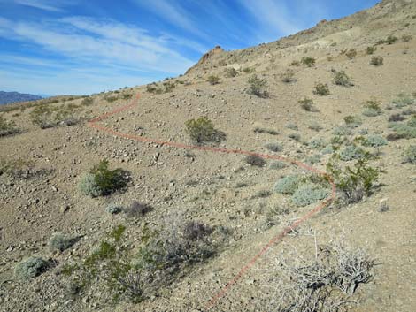
This "mountain" is composed of two parallel ridges, a smaller ridge on the southeast side of the mountain and a larger ridge on the northwest side. When hiking low in the wash, the two ridges become apparent when hikers look back to the northeast. When between the two ridges, a wash comes down from the canyon separating the two, and in this area (Wpt. 16), it becomes advantageous to leave Lime Wash and begin following animal trails (mainly feral cows and burros) northwest to a low saddle (Wpt 17) on the west side of the higher ridge. The trails are faint, and some hikers may find it easier to stay in Lime Wash until due south of the saddle, then follow washes and animal trail to the saddle (Wpt 17). From the low saddle (Wpt 17), an animal trail traverses the hillside northward to a somewhat higher saddle (Wpt 18). Notice the Las Vegas Bearpoppies growing on limestone hillside here -- an unusual soil type for this species. |
 Layered red mudstone cliffs along the wash (view SW) Layered red mudstone cliffs along the wash (view SW) |
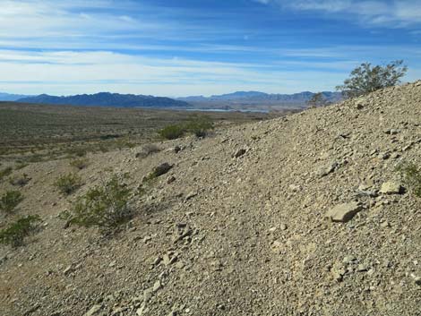
This point is only about 0.2 miles from the west edge of Lime Canyon Wilderness Area and the boundary of Lake Mead National Recreation Area. Views from the two saddles westward are grand with the Overton Arm of Lake Mead shimmering in the distance and the red sandstone of Valley of Fire State Park glowing in the afternoon sun. In addition, the town of Overton can be seen from the higher saddle, and with that, cell service is available. It is also apparent that lots of feral cows and burros pass this way. From the upper saddle (Wpt. 18) a well-used animal trail traverses northeast down across the hillside heading towards the lower end of Lower Lime Canyon. The animal trail becomes faint, but it stays right and eventually reaches the lip of a bench (Wpt. 19) overlooking the wash Lower Lime Canyon. Looking down into Lime Canyon, creosote bushes grow from cliff to cliff, and the wash is only a few feet wide. Considerably less water flows through this canyon now than did in the past when this canyon was cut by the entire flow of Lime Wash. From the edge of the bench, a well-used animal trail traverses down across the hillside to the bottom of the canyon (Wpt. 20). |
 Layered red mudstone cliffs along the wash (view SW) |
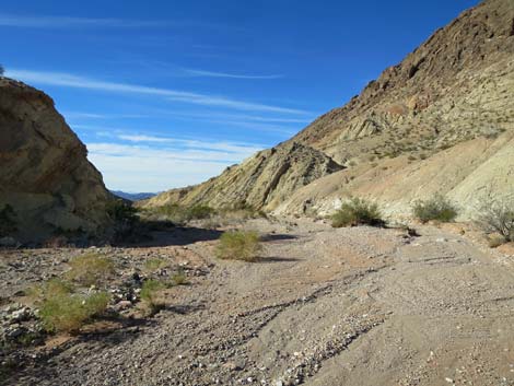
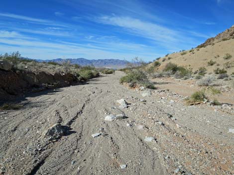
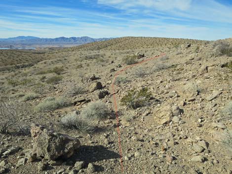
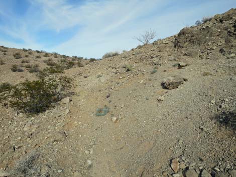
In the canyon, the route begins to return uphill towards the trailhead. The canyon is fairly wide lower down, but it winds back and forth and narrows higher up. As the canyon begins to bend south to finish the loop around the two-ridges mountain, it passes through a narrow gap (Wpt. 21) in a thick limestone layer that is only 15 feet wide. Continuing south, the canyon remains fairly narrow, and after passing another narrow spot, emerges from the canyon onto the desert flats (Wpt. 22) near the stream-capture site. In this area, hikers can get good views looking southeast up Lime Wash. Thinking about the stream-capture event, hikers can see that massive debris flows came down from canyons on the north ridge and pushed the main stream-course hard against the south ridge. These debris flows dammed Lime Wash near the conglomerate pour-over and sent water over the ridge to the south. The debris flows remain here as alluvial fans on the side of the wash where the toes of the fans are cut off by the current stream. When finished contemplating the geologic and atmospheric forces that formed this unusual area, return back up Lime Wash and through Upper Lime Canyon to the trailhead (Wpt. 01). |
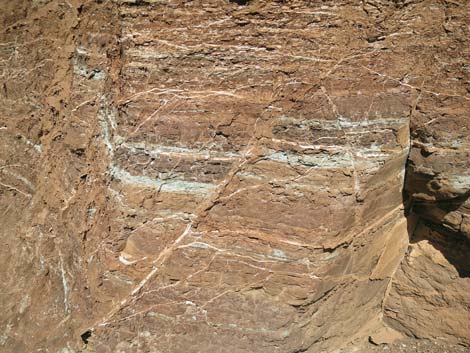 Details of the layered red mudstone cliffs (view NW) |
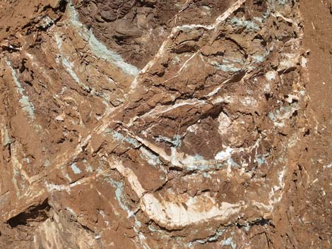 Details of the layered red mudstone cliffs (view NW) |
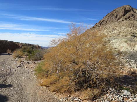 Fall colors along a desert wash (saltcedar; view SW) |
 Approaching layered limestone cliffs (view SW) |
 Layered limestone cliffs (view SW) |
 Desert Willow along Lime Wash (view SW) |
 Gypsum hills with Las Vegas Bearpoppies (view SE) Gypsum hills with Las Vegas Bearpoppies (view SE) |
 First views of Lake Mead (view W) |
 Leaving the wash bottom in favor or animal trails (view NW) |
 Staying right against the base of Two-Ridges Mountain (view NW) |
 Animal trail on the flats (view NW) |
 Animal trail starting into the hills (view NW) |
 Animal trail crosses the canyon between the two ridges (view N) |
 Animal trail traversing a hillside (view NW) |
 |
 |
 Faint animal trail approaching Lower Saddle (view NW) |
 Looking back across hillside towards Lime Wash (view SE) |
 Lower Saddle (view NW) |
 Animal trail continues towards Higher Saddle (view N) |
 Looking back across hillsides from Lower Saddle (view SE) |
 Animal trail continues towards Higher Saddle (view N) |
 Animal trail with Bearpoppies on limestone soils (view N) |
 Animal trail approaching the Higher Saddle (view NW) Animal trail approaching the Higher Saddle (view NW) |
 Animal trail arriving at the Higher Saddle (view NW) |
 Higher Saddle (view NW towards Overton) |
 Higher Saddle (view W towards Valley of Fire) |
 Animal trail continues over Higher Saddle (view N) |
 Animal trail continues towards Lower Lime Canyon (view N) |
 Grand views (view NW towards Overton and Valley of Fire) |
 Animal trail continues towards Lower Lime Canyon (view NE) |
 Lip of the bench overlooking Lower Lime Canyon (view NE) |
 Animal trail drops into Lower Lime Canyon (view NE) |
 Lower Lime Canyon wash (view NE) |
 |
 |
 Animal trail in Lower Lime Canyon all go the same place (view NE) |
 Lower Lime Canyon Wash (view NE) |
 Lower Lime Canyon Wash (view E) |
 Lower Lime Canyon Wash (view NE) |
 Lower Lime Canyon Wash (view NE) |
 Lower Lime Canyon Wash (view NE) |
 Lower Lime Canyon Wash (view NE) |
 Lower Lime Canyon Wash (view E) |
 Lower Lime Canyon Wash (view NE) |
 Lower Lime Canyon Wash (view E) |
 Lower Lime Canyon Wash (view NE) |
 Lower Lime Canyon Wash (view E) |
 |
 |
 First narrow spot in Lower Lime Canyon Wash (view E) |
 Lower Lime Canyon Wash (view E) |
 Lower Lime Canyon Wash (view S) |
 Lower Lime Canyon Wash (view S) |
 Lower Lime Canyon Wash (view SE) |
 Returning to the stream-capture site (view SE) |
Table 1. Hiking Coordinates Based on GPS Data (NAD27; UTM Zone 11S). Download Hiking GPS Waypoints (*.gpx) file.
| Wpt. | Location | UTM Easting | UTM Northing | Elevation (ft) | Point-to-Point Distance (mi) | Cumulative Distance (mi) |
|---|---|---|---|---|---|---|
| 01 | Trailhead | 746804 | 4022003 | 2,884 | 0.00 | 00.00 |
| 02 | Big Crook in Wash | 746226 | 4022093 | 2,789 | 0.43 | 00.43 |
| 03 | Top of Next Narrows | 746063 | 4022435 | 2,717 | 0.36 | 00.79 |
| 04 | Below the Narrows | 745357 | 4022734 | 2,576 | 0.81 | 01.60 |
| 05 | Habitation Site | 745083 | 4022889 | 2,582 | 0.20 | 01.80 |
| 06 | Animal Trail Leaves Wash | 745077 | 4022964 | 2,552 | 0.06 | 01.86 |
| 07 | Lunch Rocks | 745032 | 4022954 | 2,552 | 0.04 | 01.90 |
| 08 | Animal Trail | 744616 | 4023151 | 2,398 | 0.29 | 02.19 |
| 09 | Back in Main Wash | 743992 | 4023723 | 2,334 | 0.56 | 02.75 |
| 10 | Slot Canyon above Pour-Over | 743737 | 4023869 | 2,303 | 0.19 | 02.94 |
| 10 | Slot Canyon Below Pour-Over | 743737 | 4023869 | 2,303 | 0.19 | 03.13 |
| 11 | Maximum Point North | 743558 | 4024013 | 2,271 | 0.14 | 03.27 |
| 12 | Deep Narrows | 743339 | 4023728 | 2,203 | 0.26 | 03.53 |
| 13 | 12-ft Pour-Over | 743330 | 4023679 | 2,199 | 0.06 | 03.59 |
| 14 | End of Canyon | 743055 | 4023294 | 2,123 | 0.35 | 03.94 |
| 15 | View of Lake Mead | 742005 | 4022904 | 2,000 | 0.73 | 04.67 |
| 16 | Animal Trail Leaves Wash | 741532 | 4023369 | 1,924 | 0.44 | 05.11 |
| 17 | Lower Saddle | 741243 | 4023999 | 2,025 | 0.56 | 05.67 |
| 18 | Higher Saddle | 741281 | 4024146 | 2,056 | 0.10 | 05.77 |
| 19 | Animal Trail Drops into Wash | 741777 | 4024615 | 2,022 | 0.47 | 06.24 |
| 20 | Bottom of Wash | 741819 | 4024632 | 2,028 | 0.02 | 06.26 |
| 21 | Pinch Point | 743455 | 4024637 | 2,309 | 1.29 | 07.55 |
| 22 | Top of the Canyon | 743520 | 4024238 | 2,260 | 0.34 | 07.89 |
| 10 | Slot Canyon above Pour-Over | 743737 | 4023869 | 2,303 | 0.27 | 08.16 |
| 01 | Trailhead | 746804 | 4022003 | 2,884 | 2.93 | 11.09 |
Happy Hiking! All distances, elevations, and other facts are approximate.
![]() ; Last updated 240325
; Last updated 240325
| Hiking Around Gold Butte | Hiking Around Las Vegas | Glossary | Copyright, Conditions, Disclaimer | Home |