Hiking Southern Nevada Wilderness Areas, Backroads
 Highway 164 at Wee Thump West Road (view N) |
Current Conditions: March 5, 2020. Sebastian writes: Wee Thump West Road was mostly excellent. Ran the road under the powerline at 25 mph compared to my usual 10-15 mph, at least until I hit a bad spot at the bottom of a downhill that sent us flying! At the south end where the road leaves the powerlines, the road was tighter and rougher than the other perimeter roads; still HC 2WD, in my estimation. Overview Wee Thump West Road is a graded dirt road off Highway 164 near Searchlight, Nevada, that runs north from the pavement along the west side of the Wee Thump Joshua Tree Wilderness Area. Beyond the wilderness area, the road continues north between the McCullough Range to the west and the Highland Range to the east. Beyond the Highland Range, it is easiest to turn east and exit to Highway 95. The road provides sightseeing, camping, and hunting opportunities, plus hiker access to several routes. The road is described as running south to north, but I've included photos for those driving the other way. By connecting Wee Thump West Road, Wee Thump North Road, and Wee Thump East Road, driver can circumnavigate the wilderness area. |
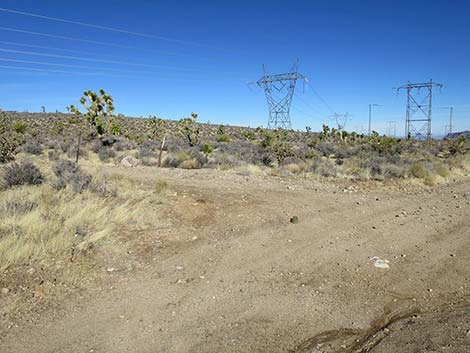
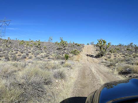
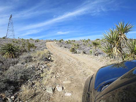
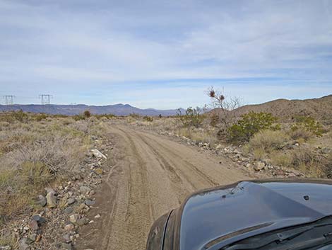
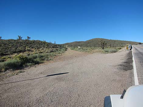 Wee Thump West Road at Highway 164 (view N) |
The road is in fairly good condition overall, but it can be a bit rough and sandy in a narrow canyon about 0.6 miles north of the pavement. Assuming good weather, the road is fine for 2-wheel-drive high-clearance (2WD-HC) vehicles. At the other end, there are some rougher parts where the road crosses the main wash in the bottom of the valley. Link to map. Watch Out Other than the standard warnings about the desert ... Wee Thump West Road generally is a good dirt road, but some parts are worse than others and it runs out into wild and remote country. There are no services or developments of any kind. Cell phones might work, but don't count on it. Bring water and food, a good spare tire, a shovel, tools, a tow rope, bailing wire, and anything you might need to survive a night stuck out in the desert. |
 Wee Thump West Road near Highway 164 (view N) |
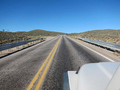
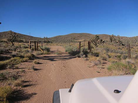
While out, please respect the land and the other people out there, and try to Leave No Trace of your passage. This road runs along Wilderness, so pay particular attention to respecting the land. Be sure to bring the 10 Essentials. For ATVs, spark arresters are required on roads in this area. Getting to the Roadhead This road is located adjacent to the Wee Thump Joshua Tree Wilderness Area, about 1 hour south of Las Vegas, just west of Searchlight. From town, drive south on Highway 95 to Searchlight. In downtown Searchlight, turn right onto Highway 164 (Joshua Tree Highway) and drive west for 13.2 miles to a large pullout on the right (north) side of the highway (Site 1305) just past a shiny new guardrail on a curve. The intersection is marked with a stop sign on the side road. |
 Cattle guard and mine roads (view N) |
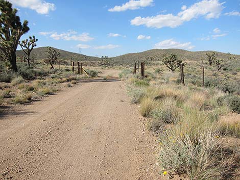
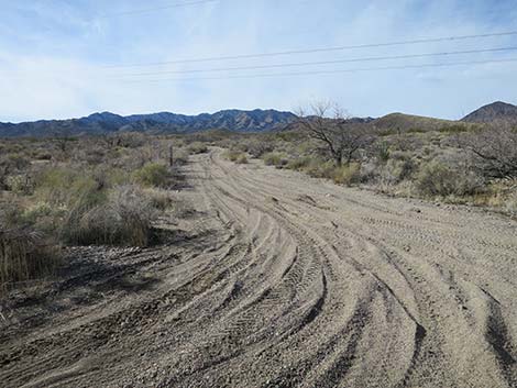
Alternatively, from town, drive south on Interstate-15 for about 53 miles to Nipton Road in California. Exit the Interstate and drive east, through Nipton, and back into Nevada. From the Nevada state line, continue east another 5.4 miles to a large pullout on the left (north) side of the highway. The Road - Northbound For southbound photos, click here. Wee Thump West Road runs north from the paved Highway 164 (Site 1305). The road runs north along a fence line, then crosses a cattle guard (Site 1342) at about 0.4 miles out. Just past the cattle guard, Wee Thump West Road continues north, but a spur road turns left and leads into a mining area. The most dangerous of the mine shafts have been closed, but use caution if traveling in that direction. |
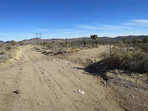
 Cattle guard and fence (view N) |
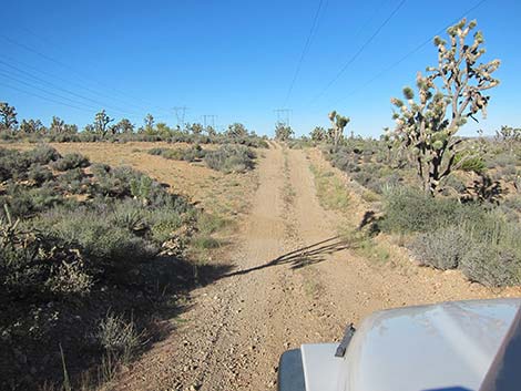
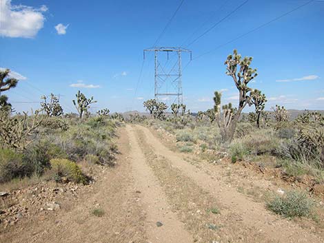
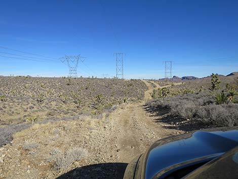
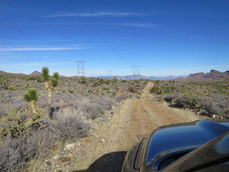
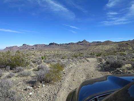
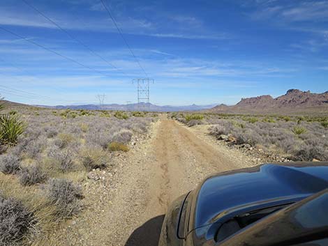
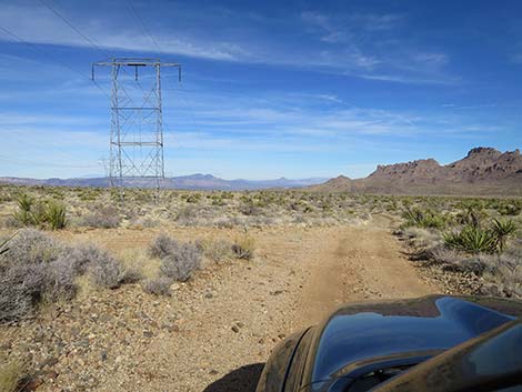
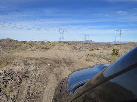
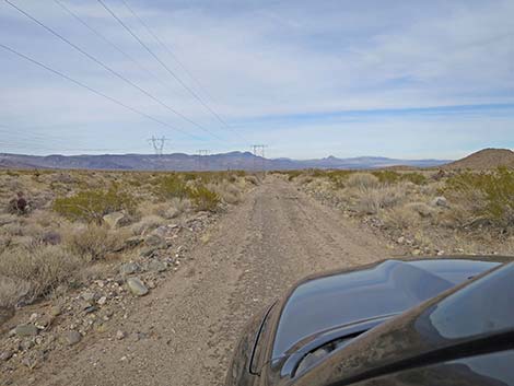
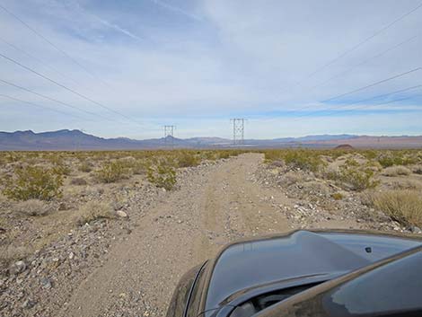
Wee Thump West Road runs north, trending right onto a saddle. Old, faded roads run in different directions, but the main road is obvious and continues generally northward. At about 0.6 miles out, Wee Thump West Road enters a narrow canyon where road conditions depend on recent storms. I've seen this section washed out and rocky, thick with soft sand, and nice and smooth, but always passable in a 2WD-HC vehicle (at least when coming downhill; south). Drivers should use good judgment and walk sections of the road if necessary to assess the current conditions. At the top of the canyon, about 1.0 miles out, the road intersects a powerline road at a T-intersection (Site 1306). Wee Thump West Road turns right and runs under the powerlines from this point on, but I still refer to it as the Wee Thump West Road (others might just call this Powerline Road). Turning in the other direction on the powerline road, the road gets rough and rocky, but it can be used to exit the area back onto Highway 164. I've done it once, but I don't need to do that again. |
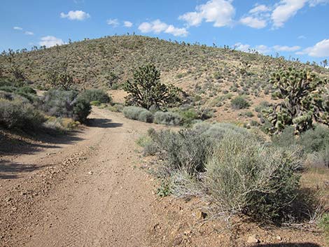 Entering narrow, sandy canyon (view N) |
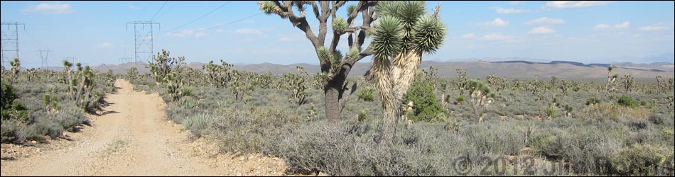
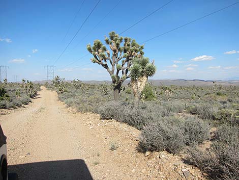
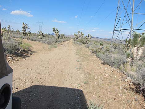
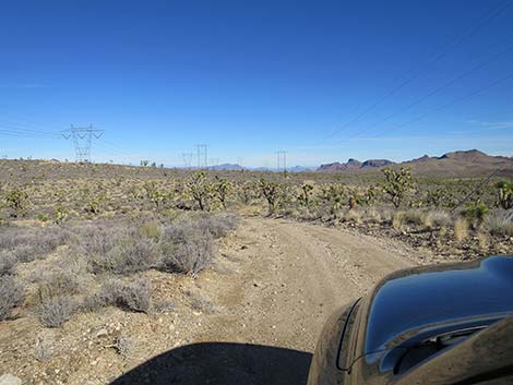
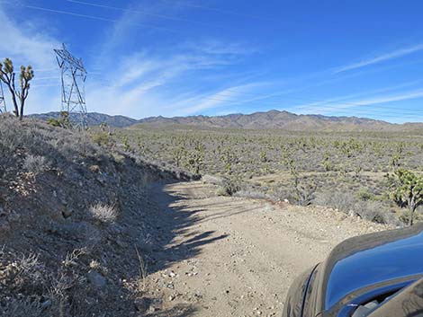
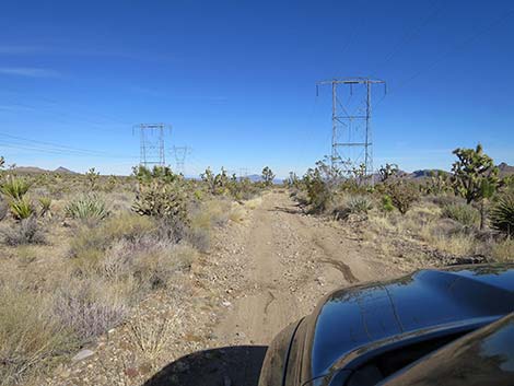
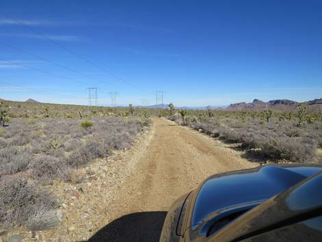
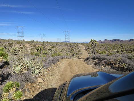
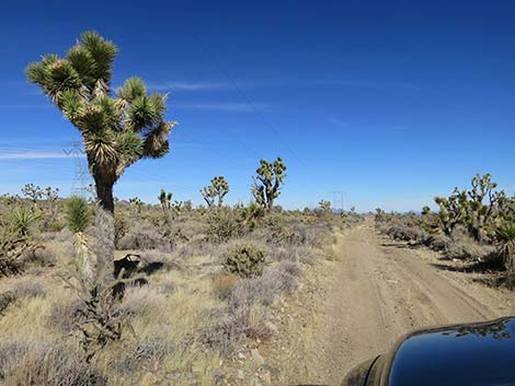
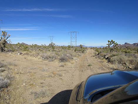
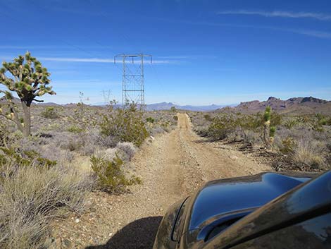
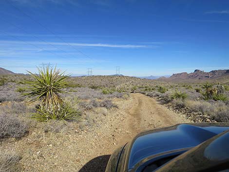
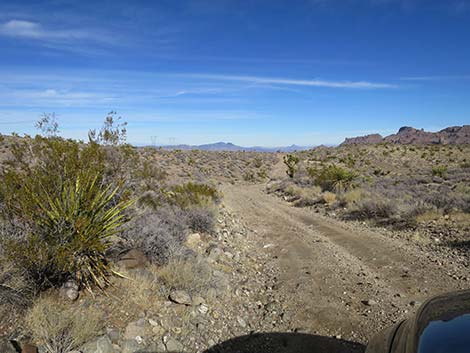
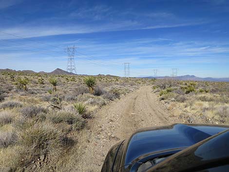
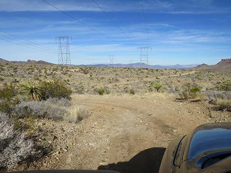
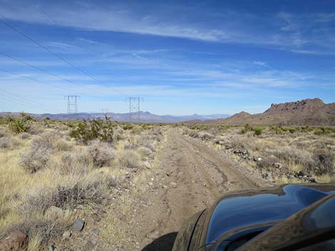
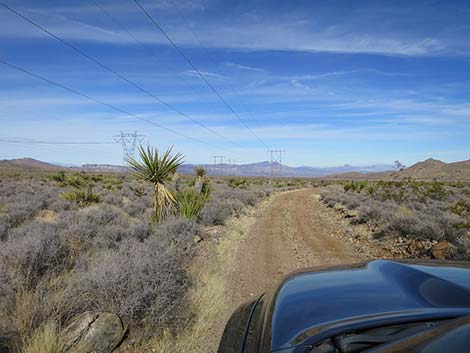
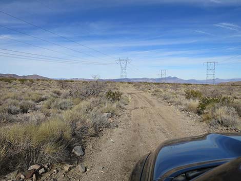
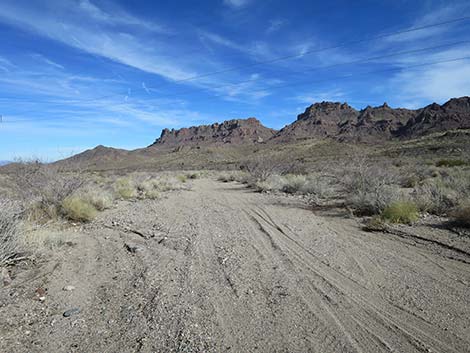
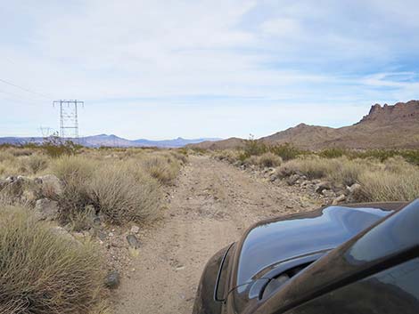
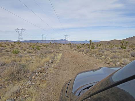
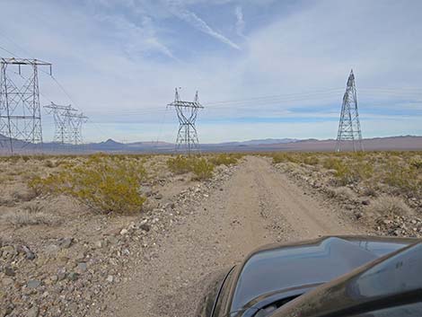
Continuing northeast, Wee Thump West Road runs up over a low saddle (the highpoint on this road), then winds a bit as it runs down out of the hills and onto the desert flats. The road is maintained by the power company and normally is in good condition. It also mostly runs straight, with only a few jogs to one side or the other as it runs between power towers. At each power tower, a lightly used spur road runs out to each power tower, but the main road always is obvious. In these desert flats, the road parallels the edge of the Wee Thump Joshua Tree Wilderness Area: watch for carsonite signs some 200 feet from the road, they mark the actual wilderness boundary. Along the southern part of this road, the vegetation is a diverse mix of Mojave Desert Scrub Species, including a dense forest of Joshua trees, creosote bush, Mojave yucca, banana yucca, bunchgrasses, globemallow, matchweed, desert almond, and many other species. Farther out, the vegetation becomes less diverse, and the landscape is dominated by Joshua trees and blackbrush, with a scattering of buckhorn cholla mixed in. |
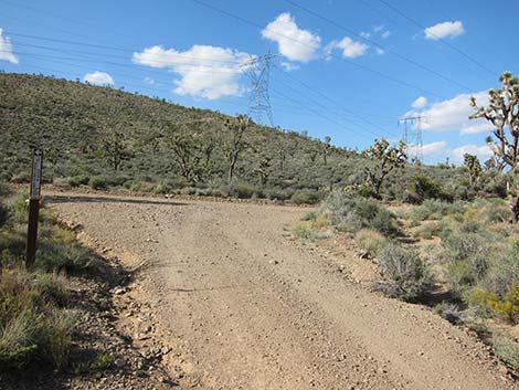 Wee Thump West Rd at Powerline Rd (view NW) |
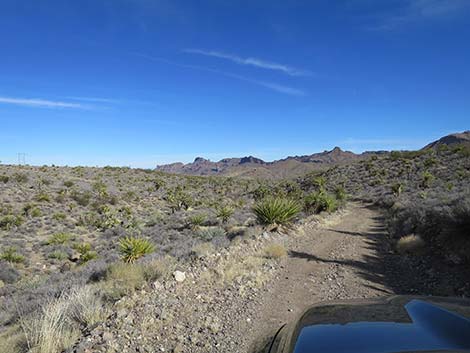
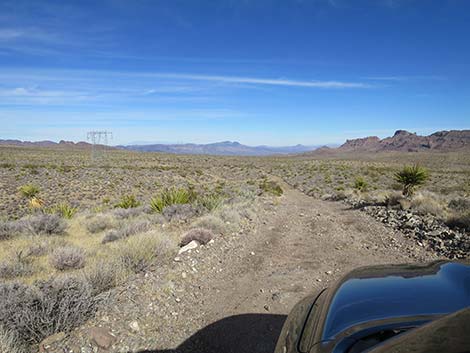
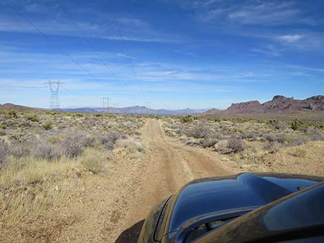
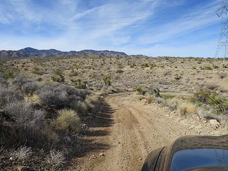
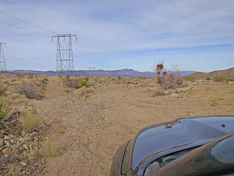
Eventually, at 5.0 miles from the pavement, Wee Thump West Road reaches a 4-way intersection. To the right is Wee Thump North Road, which in 1.1 miles intersects Wee Thump East Road and can be used as a route to circumnavigate the Wee Thump Joshua Tree Wilderness Area. To the left is Pine Spring Road, which runs up into the South McCullough Mountains and to the edge of the South McCullough Wilderness Area. I drove this road, including both forks, in 2WD, but I would not recommend driving to the road ends without 4WD. Continuing past Pine Spring Road, Wee Thump West Road bends a bit to the left (more due north) while maintaining the gentle decline in elevation. The decline in elevation seems more pronounced here than it did along the Wee Thump Wilderness Area. Perhaps this is because there are fewer Joshua trees, which makes the landscape feel more open. At about 6.6 miles out, Wee Thump West Road passes Highland Spring Road to the east (right). I must admit that I did not see this road and drove right past it. |
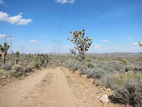
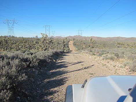
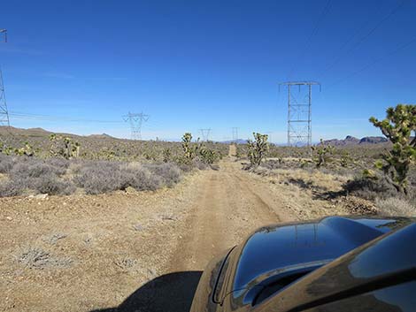
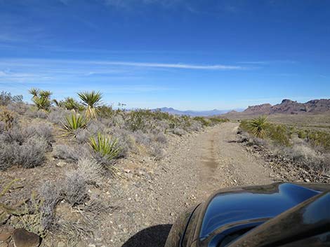
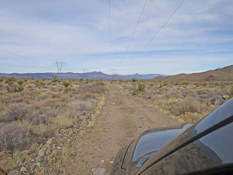
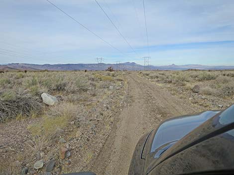
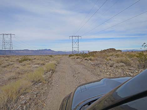
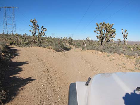 Stay straight at tower spur-roads (view NW) |
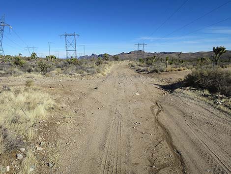
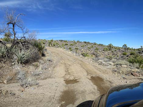
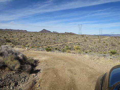
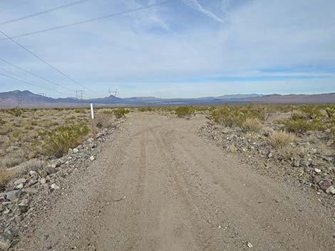
At about 934 miles out, Wee Thump West Road passes Ora Hanna Spring Road to the east (right). I must admit that I did not see this road and drove right past it too. At about 10.7 miles out, Wee Thump West Road arrives at McCullough Spring Road (Site 1971) to the west (left). This road is well used, sandy, and easy to see. The maps shows that this road continues many miles to the spring, and then it can be used to drive over to the west side of the mountains. I would not try this for the first time in my big truck. At this intersection, there appears to be a road turning to the east (right). This, however, it is simply a wash and cannot be driven any farther than one can see from the main road (perhaps 40 yards). At about 11.6 miles out, Wee Thump West Road bends to the right and drops into the main wash the flows down the bottom of the valley. The section of road through the wash area is considerably narrower and rougher than the preceding miles. Even so, this part of the road did not require 4WD (although I probably used it). |
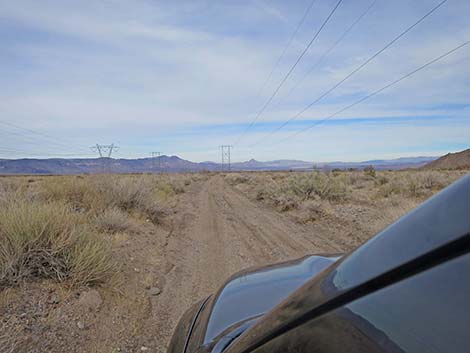
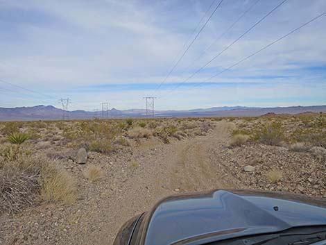
 Stay straight at tower spur-roads (view NW) |
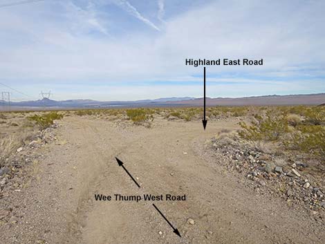
After crossing the broad wash area, road conditions improve. In places, it seems that the road was paved at one time. Well, the pavement is little better than the gravel, there are spots at the end of the pavement where the gravel is washed out and the drop off is more than expected. I scraped the skid plate on one of these in my stock 4x4 truck. Eventually, at 16.2 miles out, Wee Thump West Road reaches an intersection (Site 1972) with another powerline road that comes in at a diagonal relative to the power towers that one has been following for so many miles. Wee Thump West Road continues north, eventually connecting with Highway 95 near the Eldorado Dry Lake solar plants. I've not driven that part of the road, but I have seen other drivers come up from that direction. The road is more sandy in that area, and I don't know the logistics of getting around the solar plant fencing. The easy thing here is to turn right under the diagonal powerlines and follow that road 6.7 miles back to Highway 95 (Site 1973, Site 1974). |
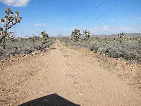
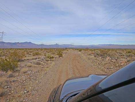
 Wee Thump West Rd is mostly straight ... |
 ... but there are a few curves and dips |
 |
 |
 |
 |
 Wee Thump West Rd at road intersection |
 Wee Thump West Rd at Pine Spring Road (left) |
 Wee Thump West Rd at Wee Thump North Road (right) |
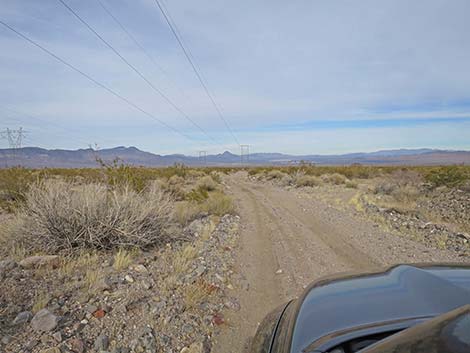
 The road continues north staying west of the Highland Range |
 |
 |
 |
 |
 |
 |
 |
 |
 |
 |
 |
 |
 |
 |
 |
 |
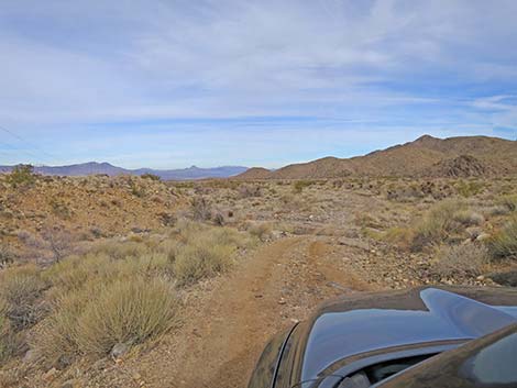
 Wee Thump West Road continues on high ground (view NE) |
 Wee Thump West Road eventually drops into the wash (view NE) |
 Road conditions deteriorate crossing the wash (view NE) |
 Road conditions eventually return to normal beyond the wash (view N) |
 |
 |
 |
 |
 |
 |
 |
 |
 Wee Thump West Road (view NE) |
 Wee Thump West Rd at an intersection (view NE) |
 McCullough Spring Road to the left (view W) |
 Actually, not a road to the right (view E) |
 |
 |
 |
 |
 |
 |
 |
 |
 |
 |
 |
 |
 |
 |
 Wee Thump West Road approaches diagonal powerlines (view NE) |
 Wee Thump West Road approaches diagonal powerline road (view NE) |
 Wee Thump West Road at Highland East Road (view NE) |
 More to come ... |
Table 1. Highway Coordinates Based on GPS Data (NAD27; UTM Zone 11S). Download Highway GPS Waypoints (*.gpx) file.
| Wpt. | Location | Latitude (N) | Longitude (W) | Elevation (ft) | Point-to-Point Distance (mi) | Cumulative Distance (mi) |
|---|---|---|---|---|---|---|
| 1305 | Hwy 164 at Wee Thump West Rd | 35.50768 | 115.13832 | 4,795 | 0.00 | 00.00 |
| 1342 | Wee Thump W Rd at Cattle Guard | 35.51359 | 115.13813 | 4,880 | 0.41 | 00.41 |
| 1306 | Wee Thump West Rd at Powerline Rd | 35.51993 | 115.13986 | 5,013 | 0.54 | 00.95 |
| 1301 | Wee Thump W Rd at Wee Thump N Rd | 35.56590 | 115.09725 | 4,560 | 4.03 | 04.98 |
| 1971 | Wee Thump W Rd at McCullough Spr Rd | 35.64227 | 115.07862 | 3,573 | 5.71 | 10.69 |
| 1972 | Wee Thump W Rd at Highland N Rd | 35.71510 | 115.04622 | 2,517 | 5.48 | 16.17 |
| 1973 | Highland N Rd at Highland E Rd | 35.67418 | 115.01011 | 2,658 | 3.83 | 20.00 |
| 1974 | Highland N Rd at Highway 95 | 35.66930 | 114.95876 | 2,685 | 6.74 | 26.74 |
Happy Hiking! All distances, elevations, and other facts are approximate.
![]() ; Last updated 240330
; Last updated 240330
| Hiking Around Wilderness Areas | Hiking Around Las Vegas | Glossary | Copyright, Conditions, Disclaimer | Home |