Backroads Around Las Vegas
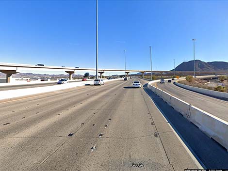
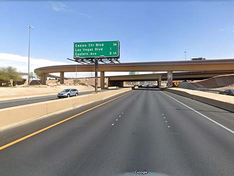 Highway 95 in the Las Vegas Spaghetti Bowl (view E) |
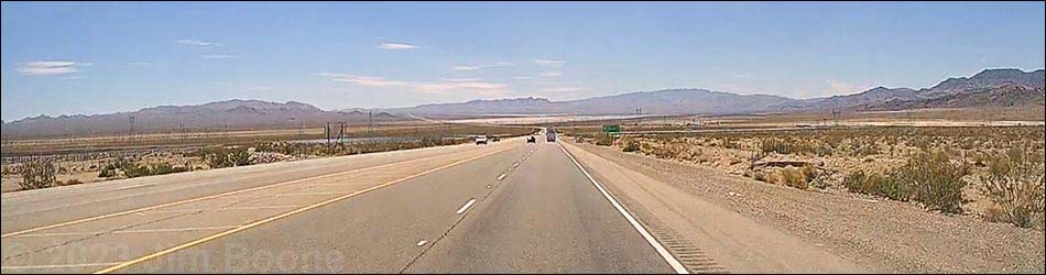
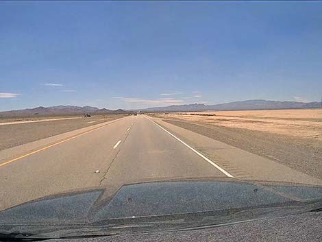
Overview Highway 95 Southbound is a major highway that runs from the Canadian border in Idaho to the Mexican border in Arizona. In Nevada, Highway 95 Southbound enters the state from Oregon near the middle of Nevada. The highway continues south through the western portion of Nevada through Las Vegas and exits the southern tip of the state into California. Described here is the portion of Highway 95 that runs south from downtown Las Vegas (intersection of I-15 and Hwy 95/93; the Las Vegas Spaghetti Bowl) to the California border. The highway is nothing special, just another well used state highway, but it traverses spectacular, big open desert with grand views, and it provides access to some wild and amazing outdoor recreation, particularly Avi Kwa Ame National Monument and Lake Mead National Recreation Area. Link to map. |
 Highway 95 approaching downtown Las Vegas (view E) |
Watch Out Other than the standard warnings about driving in the desert, ... this is a safe road, except of course, for the whack-nuts doing stupid things at 100+ mph. Most of the highway is four lanes, two in each direction, but parts remain two lanes without a center divider. Slow commercial trucks and fast passenger vehicles make for a dangerous mix, as impatient drivers pass in inappropriate situations, and it seems that some drivers assume oncoming traffic will pull onto the shoulder to let them pass without causing a head-on collision. While this might be the standard on rural West Texas highways, Highway 95 is too narrow for this tactic. On these two-lane sections, it is a good idea to drive with the headlights turned on to help oncoming drivers see you. While out, please respect the land and the other people out there, and try to Leave No Trace of your passage. Also, there are remote areas, so be sure to bring the 10 Essentials because emergency services are few and far between on this largely rural highway. |
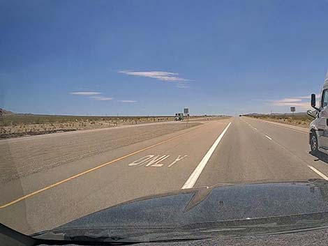
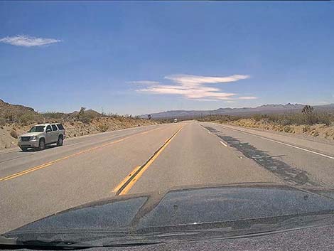
 Highway 95 passing through east Las Vegas (view S) |
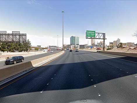
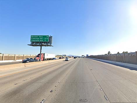
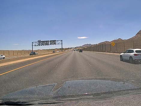
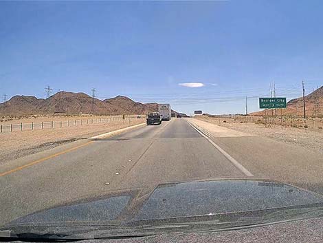
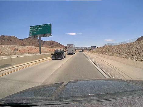
The Road From the Las Vegas Spaghetti Bowl (Table 1, Site 0800), the intersection of Highway 95 and Highway 93 in downtown Las Vegas, Highway 95/93 South runs east and south across the city as a typical, multilane interstate highway crowded with urban traffic. Towards the southeast edge of the Las Vegas Valley, Highway 95/93 passes the Henderson Spaghetti Bowl where Highway 215 (Southern Beltway) ends and merges into Highway 95 (14 miles from Downtown). Continuing south, Highway 95/93 runs through southeastern Henderson and climbs out of the Las Vegas Valley passing over Railroad Pass. Descending towards the desert to the south, traffic to Boulder City exits to the right and crosses back under Highway 95/93 onto Boulder City Parkway. This road takes visitors to Boulder City, Boulder Dam, and hikes in the Boulder Basin area of Lake Mead National Recreation Area. |
 Highway 95 at the Henderson Spaghetti Bowl (view SE) |
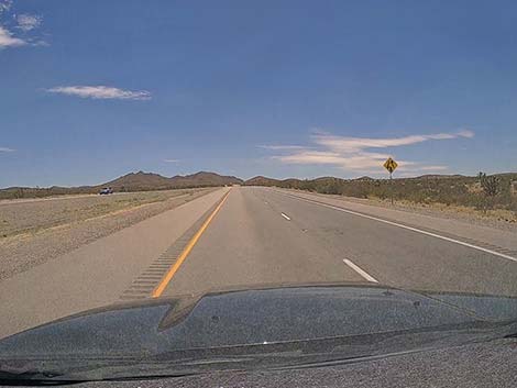
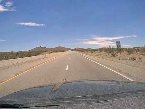
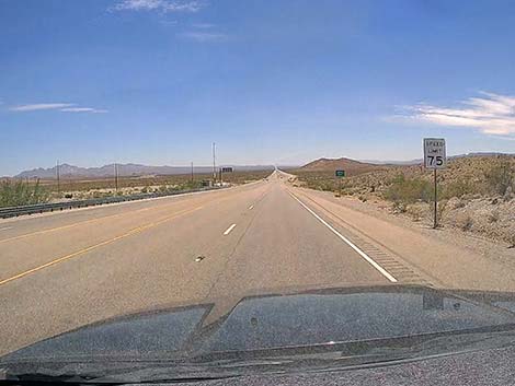
Continuing south, Highway 95 splits from Highway 93 (Site 0914). Highway 95 exits to the right, while Highway 93 continues towards Arizona, passing turnoffs to Boulder City and leading to hikes in Lake Mead National Recreation Area, including Goldstrike Hot Springs in Nevada and Hot Springs Canyon in Arizona. Highway 95 exits and turns south into the Eldorado Valley with vast views south across mountains and deserts, plus Eldorado Dry Lake and lots of solar farms. Initially, Highway 95 remains inside the city limits of Boulder City, and the local police make a lot of money writing speeding tickets within their jurisdiction. Highway 95 starts down the hill with a 45-mph speed limit, then bumps to 65 mph, and out towards the dry lake bumps again to 75 mph. At about 5 miles out from Highway 93, Highway 95 passes Eldorado Dry Lake. The lakebed is open for recreation all year except for a couple of days around July 4th, but there are lots of "closed area" signs along the highway where drivers at 75 mph can't read the fine print. |
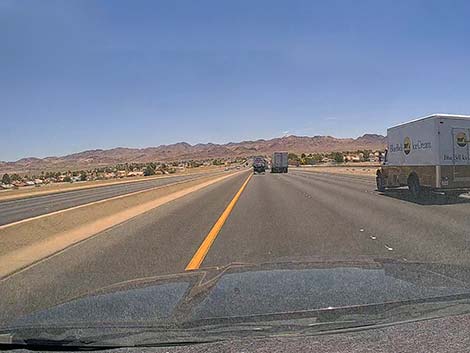
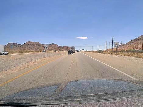
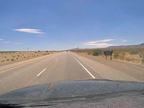
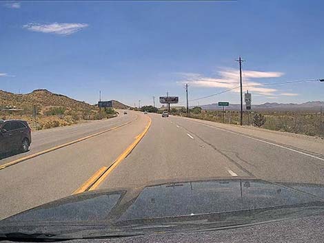
 Highway 95 passing through east Henderson (view E) |
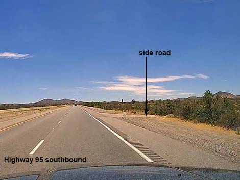
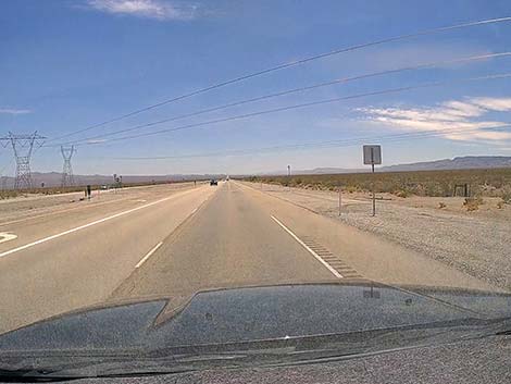
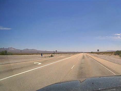
At about 8.7 miles out, Highway 95 passes an intersection with the paved Nelson Road (Site 0913), to the left. Nelson Road provides recreational opportunities of all sorts. Off-roaders will enjoy the Nelson Hill OHV area, and hikers will enjoy the other side of the road with hikes in Lake Mead NRA such as Natural Bridge. The historical Techatticup Mine, with tours, is located just past the town of Nelson, and people can drive all the way down to Lake Mohave, which is inside Lake Mead NRA. During spring, it seems the earliest wildflowers in the region start down at the end of Nelson Road. Continuing, at about 11.3 miles out, Highway 95 passes Eldorado Valley Drive to the right. This is the main entrance road to solar plants around the south end of Eldorado Dry Lake, and off-roaders can wind through the solar farms to find long dirt roads leading into the hills. |
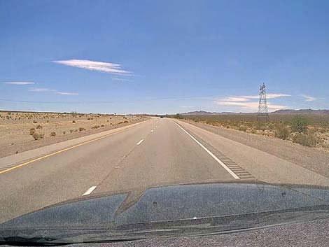
 Highway 95 passing through southeast Henderson (view E) |
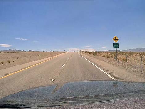
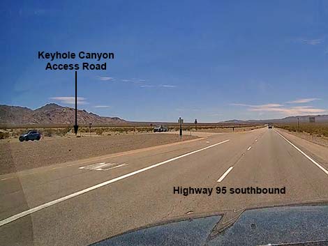
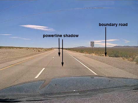
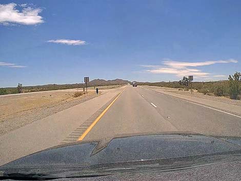
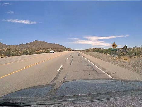
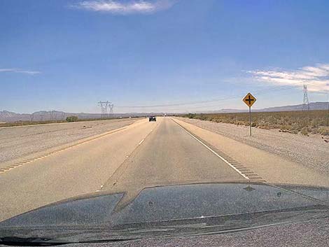
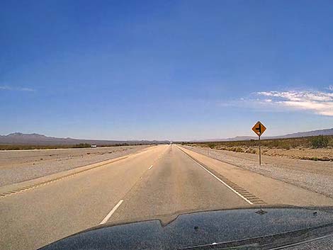
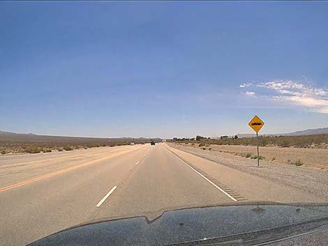
At about 14.7 miles out, Highway 95 passes Keyhole Canyon Access Road (Site 1220), on the left. Keyhole Canyon Access Road runs east towards the base of the mountains to meet a powerline road. Drivers can turn south and drive to Keyhole Canyon, an interesting archeological site and a popular canyoneering route. At about 18.1 miles out, Highway 95 passes a dirt road to the left that leads into the hills and can be used to access Keyhole Canyon from the south. At about 19.4 miles out, Highway 95 passes a boundary sign for Avi Kwa Ame National Monument. Avi Kwa Ame is the Paiute name for Spirit Mountain, the central feature of the national monument. There is no safe place to park near the boundary sign and walk into the desert. |
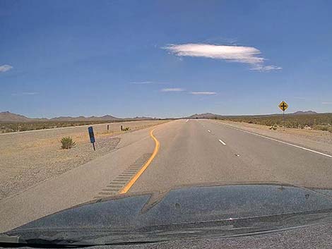
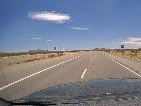
 Highway 95 beginning to exit the Las Vegas Valley (view SE) |
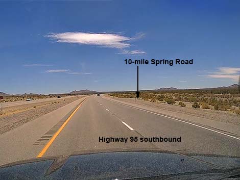
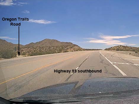
Shortly ahead, at about 19.9 miles out, Highway 95 passes under high-tension powerlines that cross the highway. Just past the towers, Highland Range North Road (Site 1974) more-or-less marks the northern boundary of Avi Kwa Ame NM, and visitors can use this road to stop and walk in the desert. Spring wildflowers can be pretty good along this road. Continuing south into Avi Kwa Ame National Monument, Highway 95 passes a number of dirt roads that offer off-road hiking and driving opportunities. Roads of note include Nelson Cutoff Road (24.5 miles out), 10-mile Spring Rd (24.5 miles out), Grandpas Road (30.3 miles out), and Oregon Trails Road (32.4 miles out). At about 31 miles out, the divided road ends, the speed limit drops to 65 mph, and Highway 95 climbs into the hills. At about 33 miles out, Highway 95 crests a hill and begins to descend into the town of Searchlight. Drivers need to pay close attention to the speed limit in Searchlight because the cops here work the traffic harder than the guys in Boulder City. The speed limit through town is 25 mph. |
 Highway 95 exiting the Las Vegas Valley (view SE) |
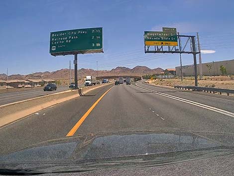
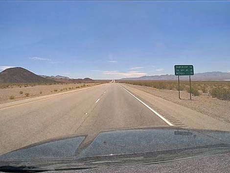
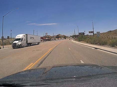
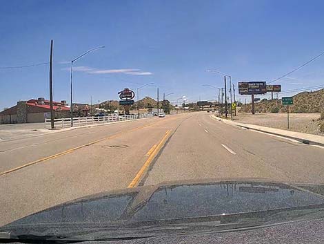
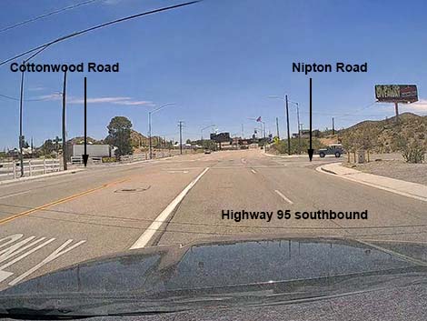
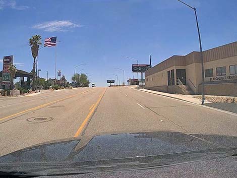
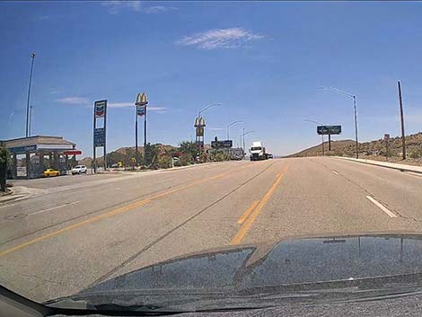
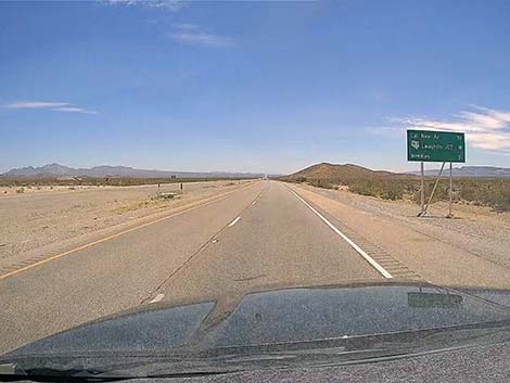
Searchlight is a full-service town with a small selection of restaurants, gas stations, hotels, and other traveler services. The town also has a library, cultural centers, and a city park that can be good for birdwatching. The McDonald's has prices that are unusually high for the brand, but the Denny's seems to have low prices for the brand. In the center of town, about 34.7 miles out, Highway 95 passes an intersection (Site 0927) of paved road where Cottonwood Road goes left and Nipton Road goes right. Cottonwood Road runs east about 13.5 miles to Cottonwood Cove, a National Park Service area on Lake Mohave with food, lodging, camping, and a marina. All along Cottonwood Road, off-roaders and hikers will find recreational opportunities. Nipton Road runs west about 31.5 miles to Interstate 15 in California. Heading out Nipton Road, drivers pass Walking Box Ranch, Wee Thump Joshua Tree Wilderness Area, the South McCullough Mountains, and lots of dirt roads that provide hiking and driving opportunities. |
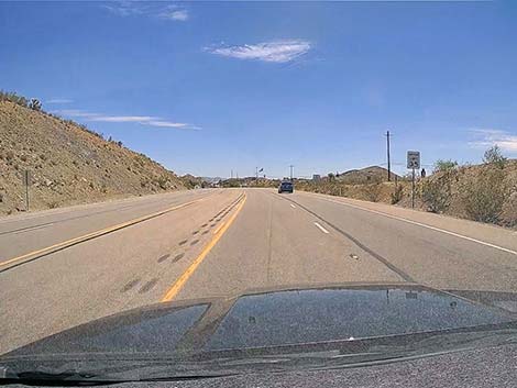
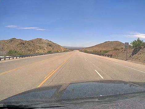
 Highway 95 at Railroad Pass (view S) |
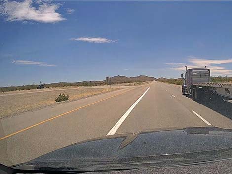
Continuing south, Highway 95 exits Searchlight descending a fairly steep hill. Drivers should watch their speed (initially 50 mph) in this area too. Near the bottom of the hill, the road divides and the speed limit bumps to 75 mph again. The vast desert ahead is still within the boundaries of Avi Kwa Ame National Monument. The valley ahead is Piute Valley, the mountains on the left are the Newberry Mountains, and the mountains on the right are the Piute Mountains. The Piute Mountains are in California. The tall, white peak on the left in the Newberry Mountains is Spirit Mountain. As in Eldorado Valley to the north, Piute Valley is crisscrossed by dirt roads that provide various recreational opportunities. I've found that in this low valley, many of the roads are sandy, so use good judgment when driving off the pavement. |
 Highway 95 crossing over Railroad Pass (view S) |
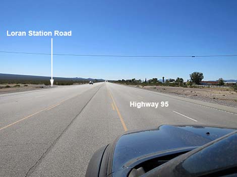
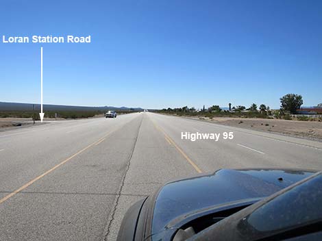
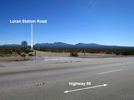
At about 45.0 miles out, the divided road ends again as drivers approach the Village of Cal-Nev-Ari. The speed limit drops to 65 mph. At about 45.4 miles out, Highway 95 passes Loran Station Road (Site 1978), on the left. This road used to run east to United States Coast Guard LORAN-C Station Searchlight. The station closed in 2010. The buildings, in rather shabby condition, remain, but the antenna complex has been removed. Loran Station Road provides access to extensive hiking and driving adventures. Cal-Nev-Ari is an air-strip town, with the air strip running parallel to Highway 95 west of the highway. Adjacent to the highway, houses line the air strip, but there are a few commercial buildings across the highway. It's not clear whether any visitor services remain open. |
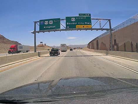 Highway splits: right to Boulder City and Hoover Dam area (view S) |
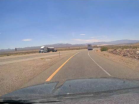
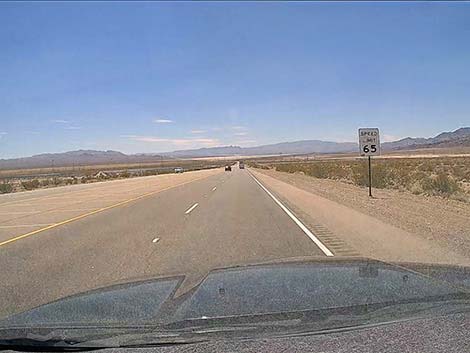
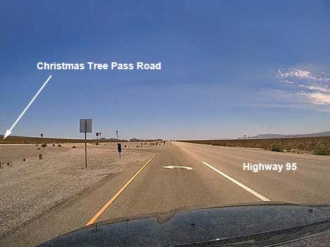
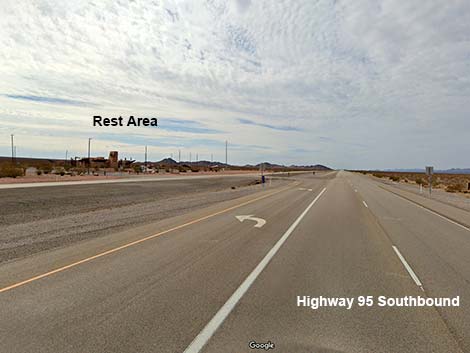
Continuing south past Cal-Nev-Ari, the highway divides again and the speed limit bumps back to 75 mph. At about 48.6 miles out, Highway 95 passes Christmas Tree Pass Road (Site 1219) on the left. Christmas Tree Pass Road is a maintained dirt road that runs out across the desert, winds up and over the Newberry Mountains along the south edge of Spirit Mountain, and drops into a sandy valley to emerge onto the pavement again near the City of Laughlin. Make no mistake, this road is an adventure, not a shortcut to Laughlin. Continuing south, at about 51.8 miles out, Highway 95 passes a Roadside Rest Area on the left. This is a modern, but typical rest area with no easy access to the wilds of the desert. |
 Highway splits again: Highway 95 exits right towards Searchlight |
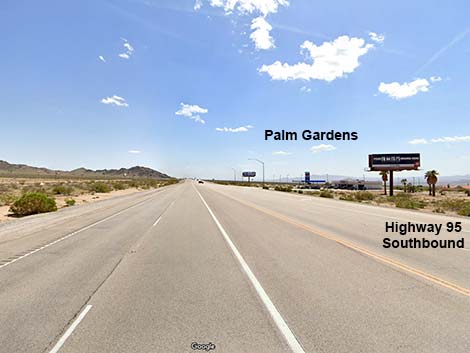
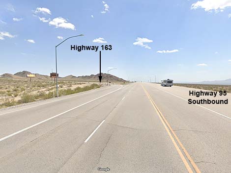
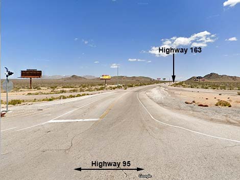
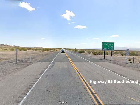
Continuing south, at about 53.5 miles out, Highway 95 passes the tiny village of Palm Gardens, known primarily for a gas station and convenience store. Just past Palm Gardens, at about 53.9 miles out, Highway 95 passes an intersection with Highway 163 (Site 0826). Highway 163 is a typical, paved state highway that runs east to Laughlin and points beyond in Arizona. As with other roads in the area, Highway 163 provides access to lots of desert adventures (e.g., Hiko Spring, Grapevine Canyon), plus access to the Colorado River and the urban delights of a border casino city. Continuing south, at about 55.0 miles out, Highway 95 exits Nevada into California. |
 Highway 95 exits right towards Searchlight (view SE) |
 Exit ramp: Highway 95 stays right (view S) |
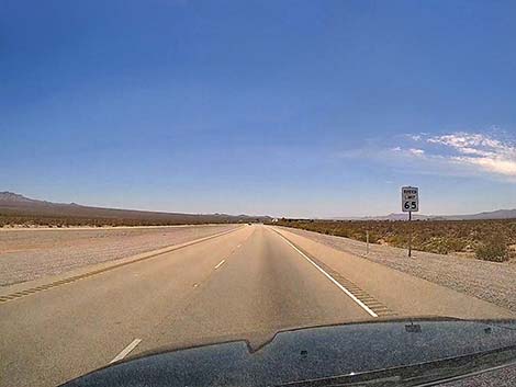
 Highway 95: speed limit here is 65 mph (view SW) |
 Sign: distances to towns ahead; Searchlight 35 miles (view SW) |
 Highway divides ahead (view SSW) |
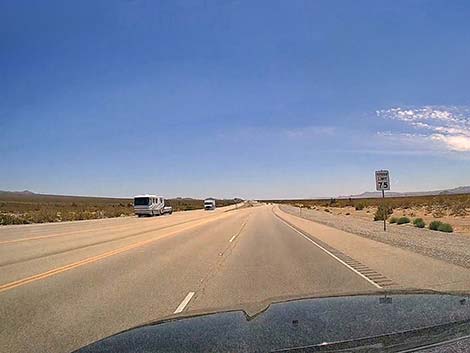
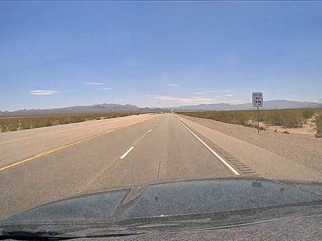 Speed limit bumps to 75 mph (view SSW) |
 Highway divides (view SSW) |
 Divided highway passing Eldorado Dry Lake (view SSW) |
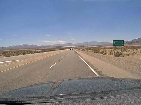
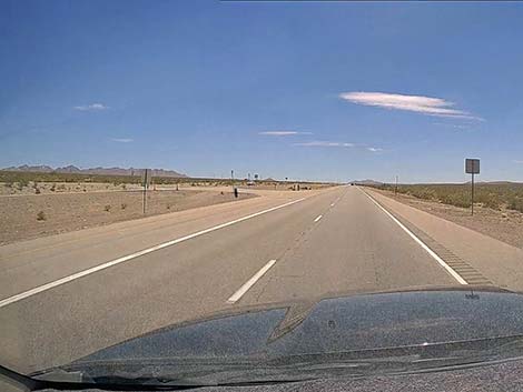
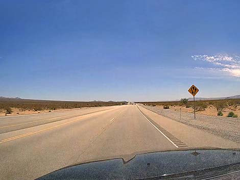
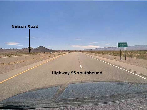 Sign: Nelson Road branches to the left (view SSW) |
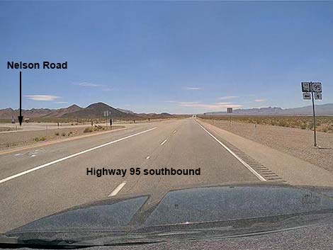 Highway 95 at Nelson Road (8.7 miles out; view SSW) |
 Sign: distances to towns ahead; Searchlight 26 miles (view SSW) |
 Eldorado Valley Drive (solar plants) to the right (11.3 miles out) |
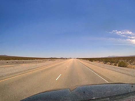
 Highway 95 (view SSW) |
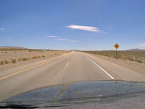
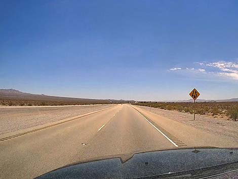
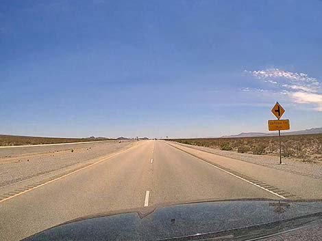
 Sign: road to the left ahead (view SSW) |
 Highway 95 at Keyhole Canyon Access Road (14.7 miles out) |
 Highway 95 at dirt road to the left (18.1 miles out; view S) |
 Highway 95 at Avi Kwa Ame National Monument boundary (view S) |
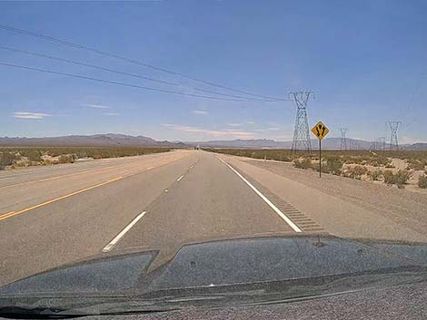
 Highway 95 approaching high-tension powerlines (view S) |
 Under powerlines at Avi Kwa Ame boundary road (19.9 miles out) |
 Highway 95 approaching dirt road to the left (view SE) |
 Highway 95 at another dirt road to the left (20.6 miles out; view SE) |
 Highway 95 approaching dirt cross-road (view SE) |
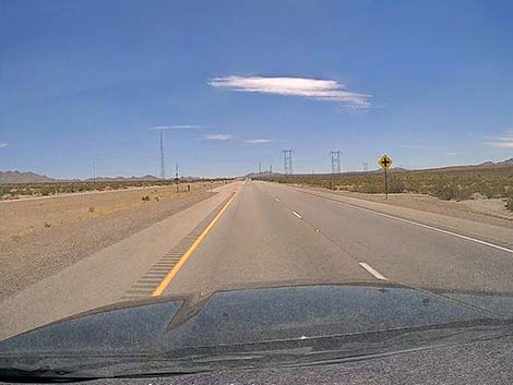
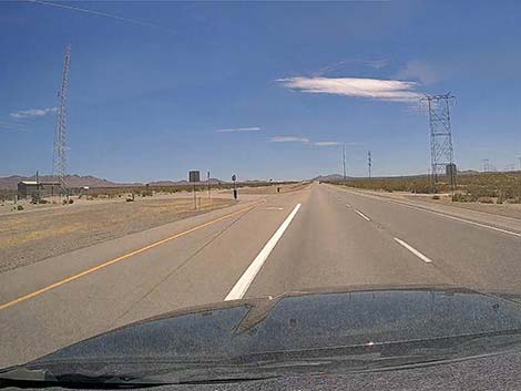 Highway 95 at powerline road (22.6 miles out; view SE) |
 Highway 95 approaching Nelson Cutoff Road (view SE) |
 Nelson Cutoff Road only goes to the left (24.5 miles out; view SE) |
 Just past Nelson Cutoff, 10-mile Spring Rd (24.5 miles out; view SE) |
 Highway 95 approaching side road to the left (view SE) |
 Highway 95 at minor side road to the left (27.1 miles out; view SE) |
 Highway 95 at minor side road to the right (28.6 miles out; view SE) |
 Highway 95 approaching dirt road right (29.7 miles out; view SE) |
 Highway 95 at Grandpas Road to the left (30.3 miles out; view S) |
 Sign: divided highway is ending (view S) |
 Speed limit drops to 65 mph (view S) |
 Highway 95 approaching Oregon Trails Road to the left (view S) |
 Highway 95 at Oregon Trails Road to the left (32.4 miles out; view S) |
 Highway 95 at highpoint before dropping into Searchlight (view S) |
 Highway 95 dropping into Searchlight: 45 mph (view S) |
 Highway 95 entering Searchlight: 35 mph (view SE) |
 Highway 95 in Searchlight: 25 mph (view SE) |
 Highway 95 in Searchlight (view S) |
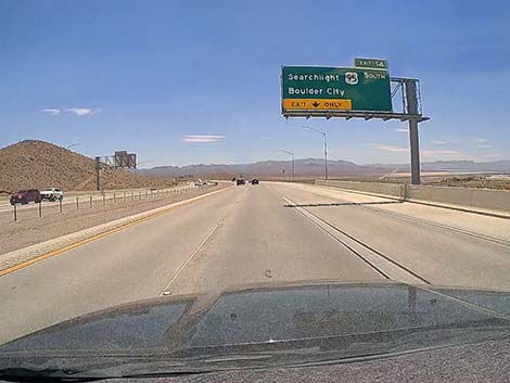
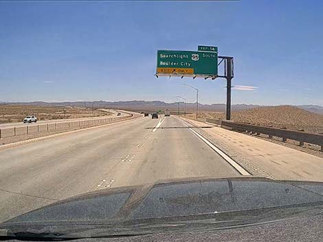
 Highway 95 approaching Cottonwood Road and Nipton Road (view S) |
 Highway 95 at Cottonwood Road and Nipton Road (34.7 miles out) |
 Highway 95 in Searchlight (view S) |
 Highway 95 at the south edge of Searchlight (view S) |
 Highway 95 exiting Searchlight: 50 mph (view S) |
 Highway 95 beyond Searchlight: 75 mph (view S) |
 Highway 95 divided again (view S) |
 Sign: distances to towns (view S) |
 Highway 95 approaching powerline roads (view S) |
 Highway 95 at powerline roads (39.2 miles out; view S) |
 Highway 95 apparently approaching side road to the left (view S) |
 Highway 95 at a U-turn spot (42.1 miles out; view S) |
 Speed limit drops to 65 mph (view S) |
 Sign: undivided road ahead (view S) |
 Divided road is ending (view S) |
 Divided road is ends (45.0 miles out; view S) |
 Various signs: approaching Village of Cal-Nev-Ari (view S) |
 Approaching Village of Cal-Nev-Ari (view S) |
 Entering Cal-Nev-Ari: note powerline across the road (view S) |
 Highway 95 with no sign approaching Loran Station Road (view S) |
 Highway 95 at Loran Station Road (45.4 miles out; view S) |
 Loran Station Road (view SE from Highway 95) |
 Highway 95 at Village of Cal-Nev-Ari (46.0 miles out; view S) |
 Highway 95 exiting Village of Cal-Nev-Ari (view S) |
 Sign: divided highway ahead (view S) |
 Sign: 75 mph (view S) |
 Highway 95 (view S) |
 Highway 95 approaching Christmas Tree Pass Road (view S) |
 Highway 95 at Christmas Tree Pass Road (48.6 miles out; view S) |
 Highway 95 at Rest Area (51.8 miles out; view S) |
 Highway 95 approaching Palm Gardens (53.5 miles out; view S) |
 Highway 95 approaching Highway 163 (53.9 miles out; view S) |
 Highway 163 (view E from Highway 95) |
 Highway 95 at California State Line (55.0 miles out; view S) |
Table 1. Highway Coordinates Based on GPS Data (NAD27; UTM Zone 11S). Download Highway GPS Waypoints (*.gpx) file.
| Wpt. | Location | Latitude (N) | Longitude (W) | Elevation (ft) | Point-to-Point Distance (mi) | Cumulative Distance (mi) |
|---|---|---|---|---|---|---|
| 0800 | Hwy 95 at I-15 | 36.17426 | 115.15486 | 2,040 | 0.00 | . |
| 0914 | Hwy 95 at Hwy 93 | 35.95205 | 114.90164 | 2,340 | 0.00 | 00.0 |
| 0913 | Hwy 95 at Nelson Rd | 35.82839 | 114.93719 | 1,821 | 8.78 | 08.8 |
| 1220 | Hwy 95 at Keyhole Cyn Access Rd | 35.74400 | 114.95522 | 2,228 | 5.91 | 14.7 |
| 1974 | Hwy 95 at Highland Access Rd | 35.66930 | 114.95958 | 2,662 | 5.19 | 19.9 |
| 0927 | Hwy 95 at Hwy 164, Searchlight | 35.46520 | 114.92003 | 3,500 | 14.82 | 34.7 |
| 1978 | Hwy 95 at Loran Station Rd | 35.31297 | 114.88174 | 2,624 | 10.73 | 45.4 |
| 1219 | Hwy 95 at Christmas Tree Pass Rd | 35.26788 | 114.87098 | 2,535 | 3.18 | 48.6 |
| 0826 | Hwy 95 at Hwy 163 | 35.19243 | 114.85326 | 2,516 | 5.28 | 53.9 |
Happy Hiking! All distances, elevations, and other facts are approximate.
![]() ; Last updated 240331
; Last updated 240331
| Backroads | Hiking Around Las Vegas | Glossary | Copyright, Conditions, Disclaimer | Home |