Backroads Around Las Vegas, Lake Mead Nat Rec Area, Avi Kwa Ame Nat Mon
 Highway 95 at start of left-turn lane (view S) |
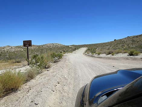
Overview Christmas Tree Pass Road (CTP Road) is a 16-mile backcountry road that connects Highway 95 (south of Searchlight) with Highway 163 (west of Laughlin), but this should not be considered a short-cut. From Highway 95, CTP Road runs east climbing into the Newberry Mountains where people will find hiking, camping, backroads driving opportunities, and close-up views of the white granite face of Spirit Mountain, an area of particular importance to local native tribes. CTP Road continues east, narrow and winding, as it climbs over the mountains. The road eventually turns south mostly running down sandy washes on the way to Highway 163. Before doing so, it passes Grapevine Canyon, an area with remarkable petroglyphs. CTP Road starts in Avi Kwa Ame National Monument. As it climbs into the mountains, CTP Road runs in a narrow corridor between Spirit Mountain Wilderness Area on the left (north) and Bridge Canyon Wilderness Area on the right (south). High in the mountains, CTP Road passes into Lake Mead National Recreation Area, but not out of Avi Kwa Ame National Monument (part of the national monument is in Lake Mead) National Recreation Area. |
 Hwy 95 left-turn lane for Christmas Tree Pass (CTP) Road (view S) |
The area around Christmas Tree Pass is a traditional area for "decorating" California Juniper and Singleleaf Pinyon Pine trees with Christmas ornaments. Unfortunately, this material falls off and becomes trash over the months. Volunteers and agency personnel waste considerable time cleaning it up every year. Ornaments often fall of and break, leaving glass fragments for wildlife to step on, and tinsel becomes glittery trash that attracts hungry birds and desert tortoises, harming their digestive systems. This tradition should end. CTP Road provides access to Spirit Mountain, Sacatone Wash, and Grapevine Canyon, and hikes in the Spirit Mountain and Bridge Canyon wilderness areas. Link to map. |
 Turning left onto highway divider (view SE) |
Watch Out Other than the standard warnings about being in the desert, ...this is a graded, easy drive, but storms have a way of causing havoc with steep, tight turns the mountains. The road normally should be passable in 2WD vehicles, but drivers should inquire with NPS rangers about road conditions before driving. The steepest hills are in the northwest direction, so driver with 2WD vehicles should consider driving in the southeast direction. Tight turns and short visual distances on the one-lane sections make some curves dangerous, so always consider that someone, driving too fast, could be coming from the other direction. While out, please respect the land and the other people out there, and try to Leave No Trace of your passage. Also, even though this road is short, be sure to bring what you need of the 10 Essentials. Maps of approved backcountry roads are available online and at the Alan Bible Visitor Center. |
 Look carefully both ways; cross traffic is moving at 80+ mph (view E) |
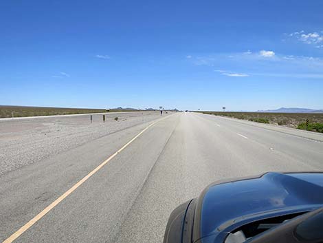
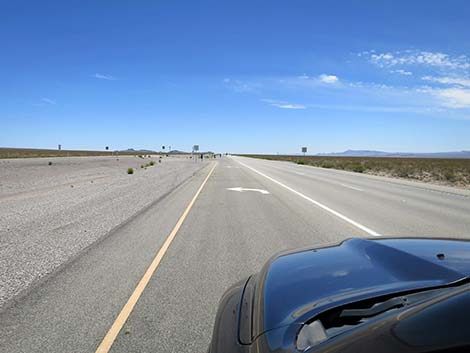
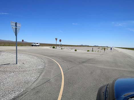
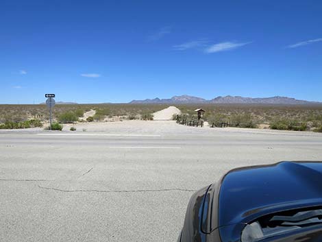
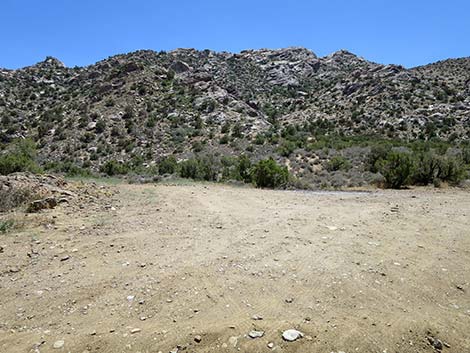
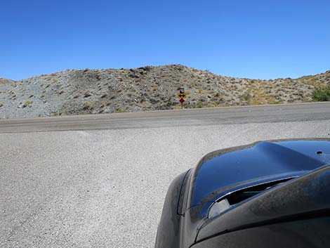
Getting to the Roadhead CTP Road starts within Avi Kwa Ame National Monument, about 1 hour south of Las Vegas. From Las Vegas, drive south on Highway 95 (US-95 S/I-515 S) to Searchlight. From downtown Searchlight (intersection of Highway 95 and Highway 164), continue south 14.0 miles to CTP Road, on the left. Watch for road-intersection signs and a left-turn lane. This is CTP Road in the southbound direction. For people wanting to drive CTP Road in the northbound direction, continue south on Highway 95. After 5.4 more miles on Highway 95, turn left onto Highway 163 towards Laughlin. Drive east 13.0 miles to the south end of CTP Road, on the left (1.5 hours from Las Vegas). Watch for a road-intersection sign, but be careful because there is no left-turn lane (the center lane is very narrow). If traffic is heavy, consider pulling off onto the right-hand shoulder and letting traffic pass before turning left (rather than stopping in the fast lane of a 70-mph highway). |
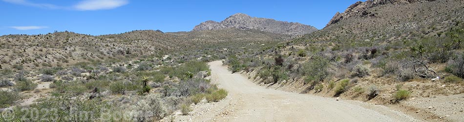
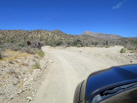
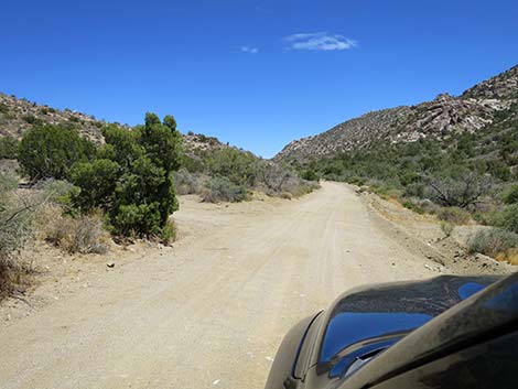
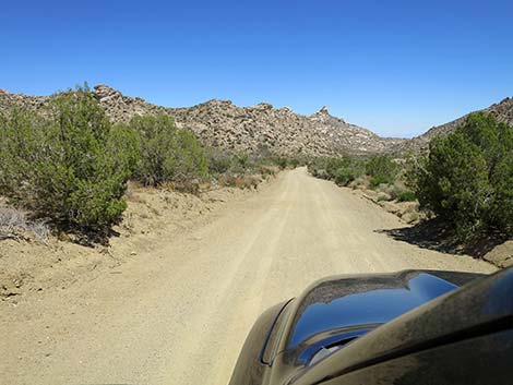
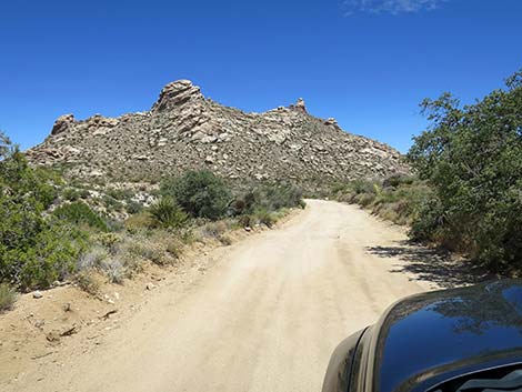
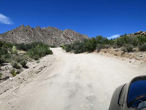
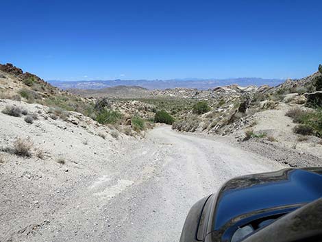
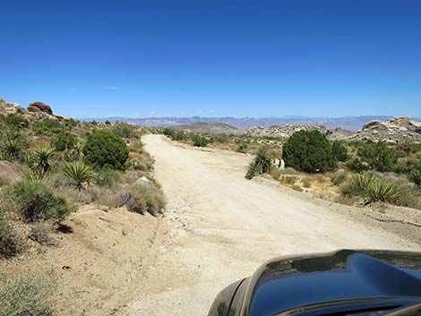
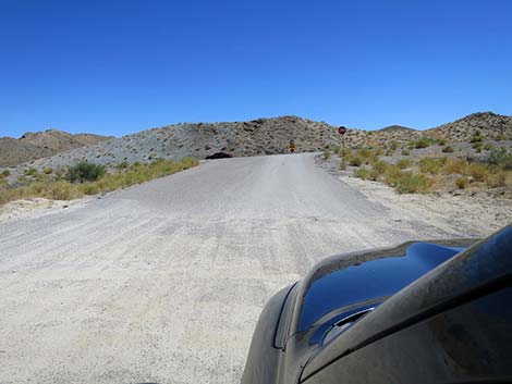
 Starting onto Christmas Tree Pass Road (view E) |
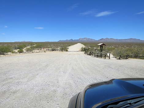
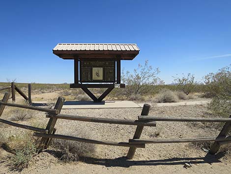
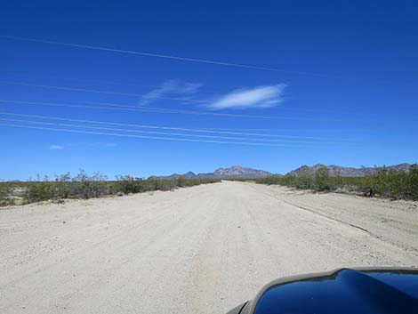
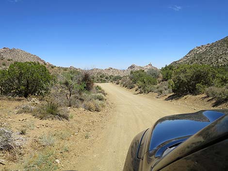
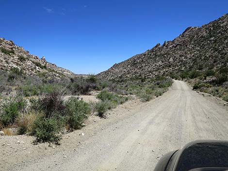
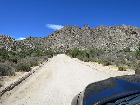
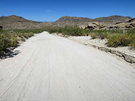
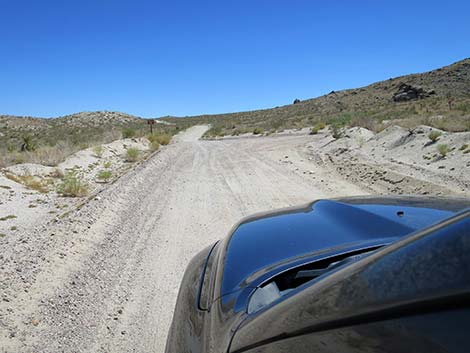
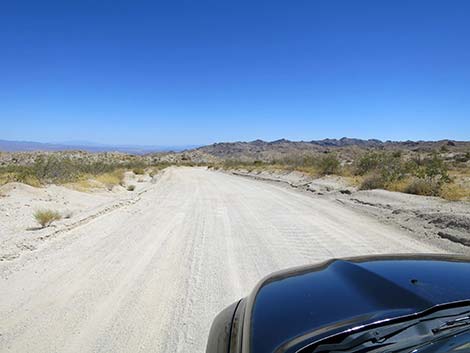
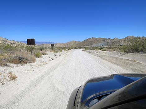
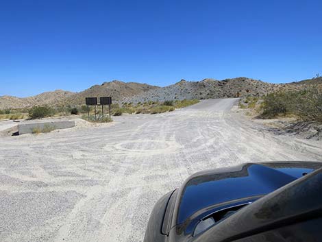
The Road From Highway 95 (Table 1, Site 1219), CTP Road passes an information kiosk, on the right. The road then passes through the highway fence at a cattle guard, and the adventure begins. Initially, CTP Road runs straight and wide, and except for the washboards, lulls drivers into a false sense of what lies ahead. Even so, the broad road gently climbs across the desert flats heading straight towards the towering white-granite cliffs of the West Face of Spirit Mountain. Spirit Mountain is the focal point of Avi Kwa Ame National Monument, where "Avi Kwa Ame" is Paiute and translates to Spirit Mountain in English. In the creation story of the local tribes, Avi Kwa Ame is the birthplace of humans, the place where the spirits brought humans from the underworld, out through Avi Kwa Ame, into the upper-world where we all live now. The area remains important for Native Americans, and they continue to use the resources and ceremonial spaces as they have for many generations. |
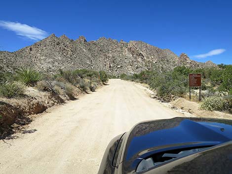
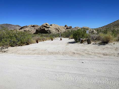
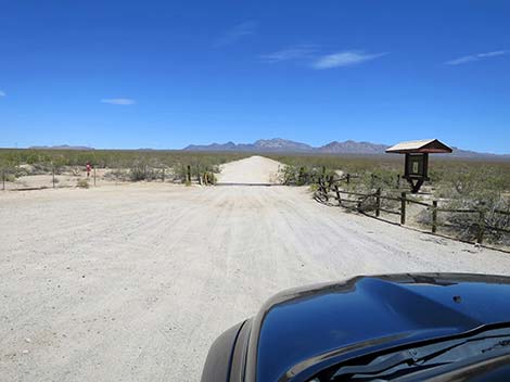 Information kiosk at start of CTP Road (view E) |
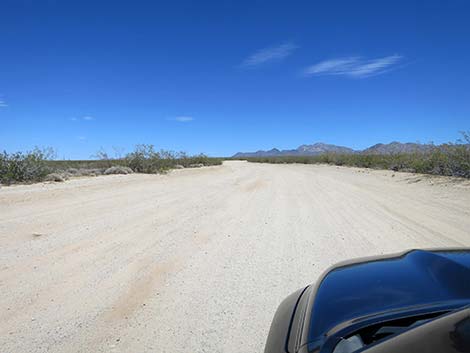
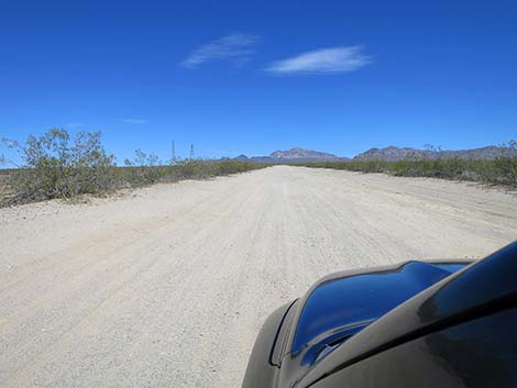
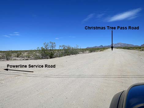
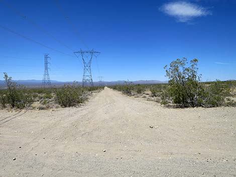
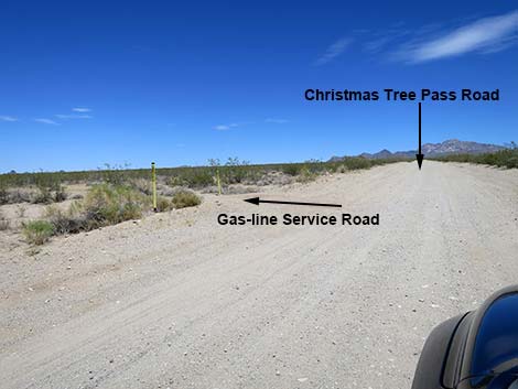
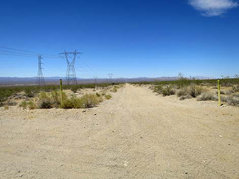
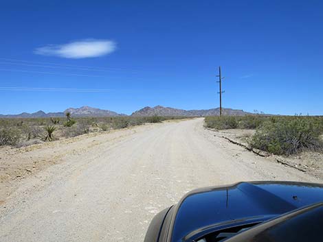
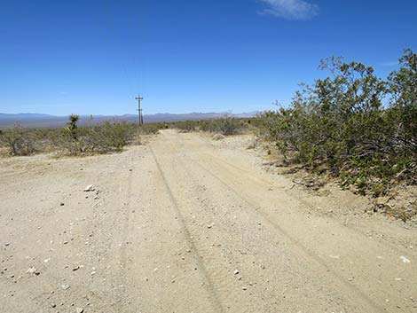
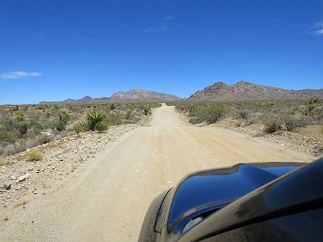
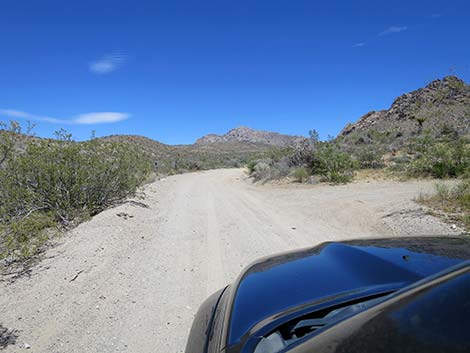
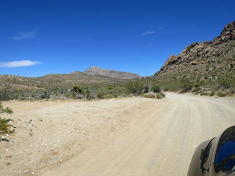
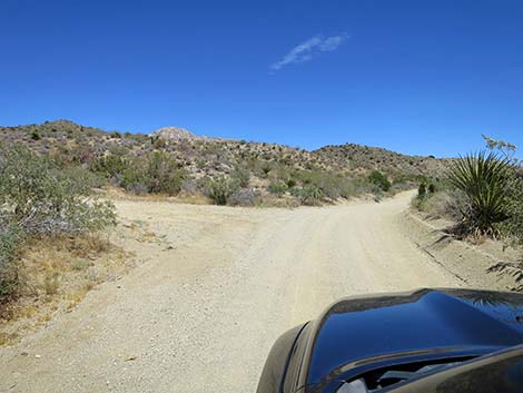
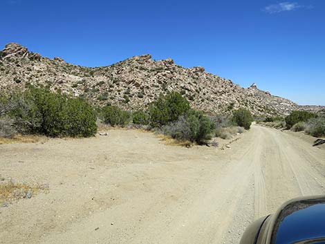
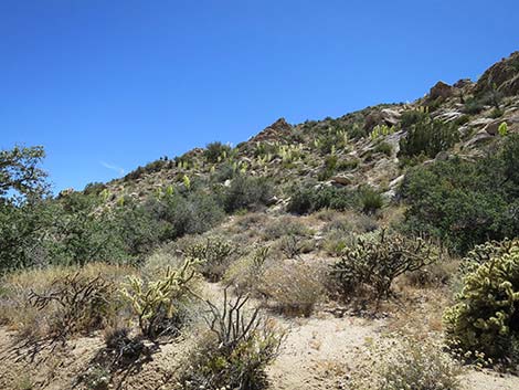
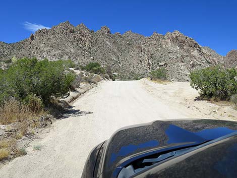
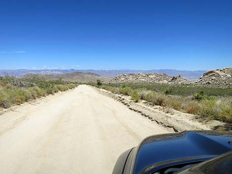
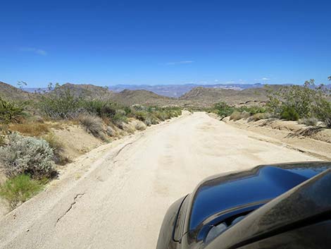
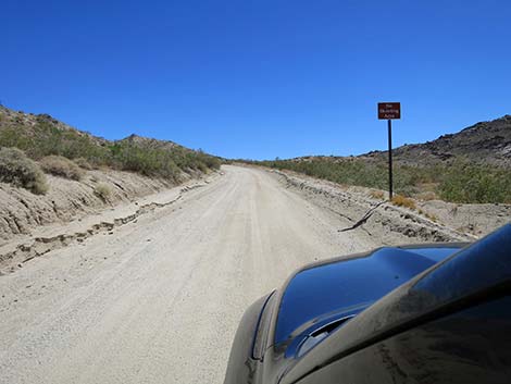
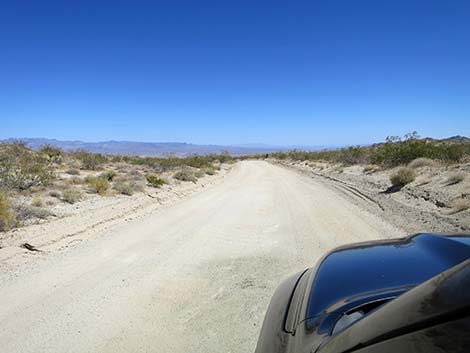
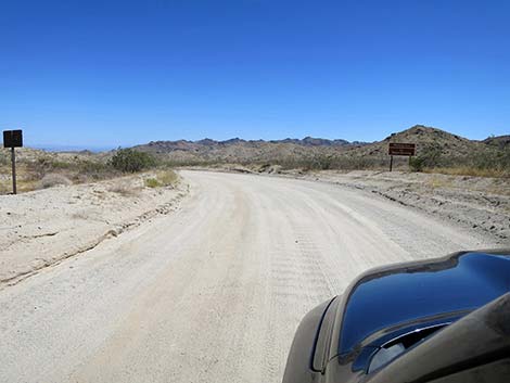
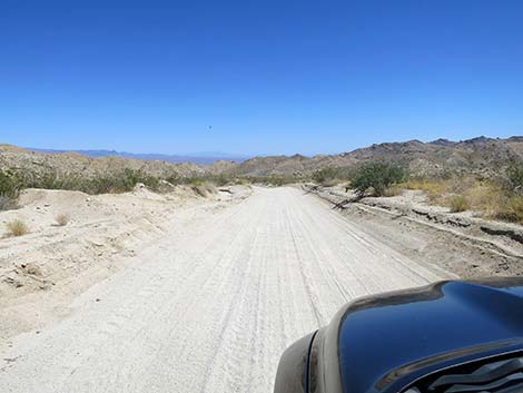
CTP Road runs straight and wide, bends a bit to the left, bends back a bit to the right, and continues straight towards Spirit Mountain. On these broad desert flats, the vegetation is dominated by two shrub species: Creosote Bush and White Bursage. Desert wildflowers can be abundant in this area during spring. This is an excellent example of the Creosote-Bursage Habitat Zone so common in this area. At about 1.93 miles out, CTP Road passes under the first of three sets of power lines. The first two, with large metal towers, run north-south adjacent to one another. On the far side of the second set of towers, 1.98 miles out, CTP Road intersects the powerline service road. This road provides easy access to places north and south of CTP Road. Shortly thereafter, at about 2.00 miles out, CTP Road intersects a gas-line service road. This road seems to run on top of the gas line, and it also provides easy access to places north and south of CTP Road. Continuing, CTP Road bends a bit to the right and intersects another cross-road (2.52 miles out). This is another reasonably good dirt road, but the road to the left (north) is not as good as the next road. |
 Information kiosk (view S from Christmas Tree Pass Road) |
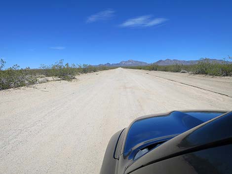
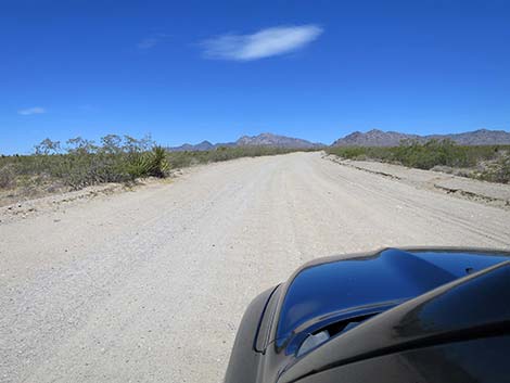
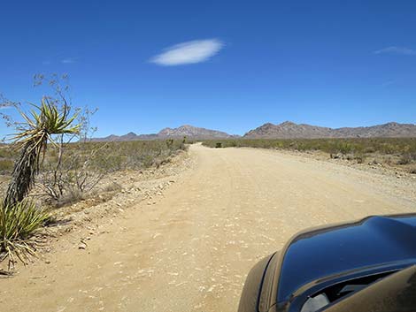
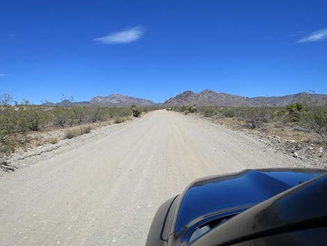
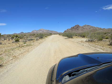
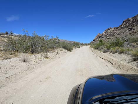
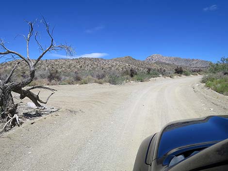
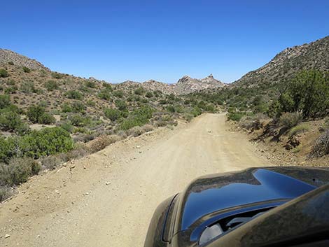
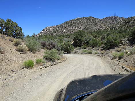
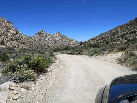
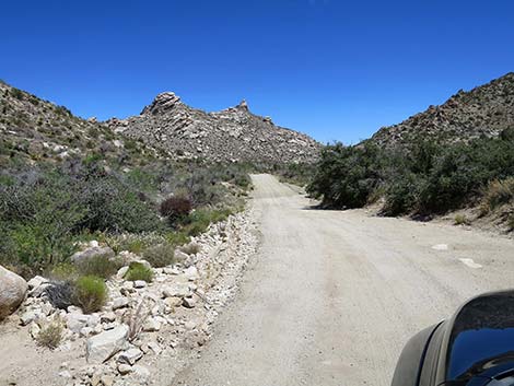
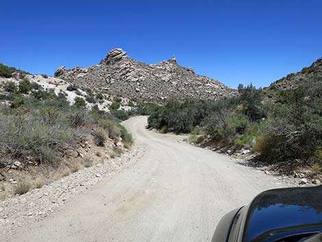
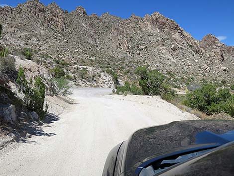
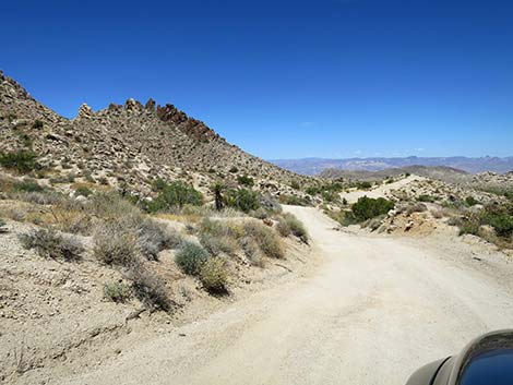
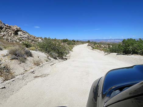
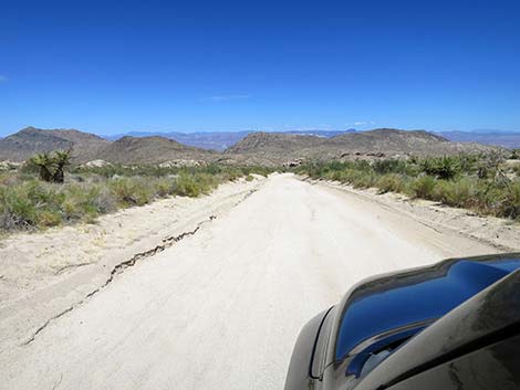
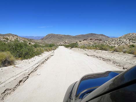
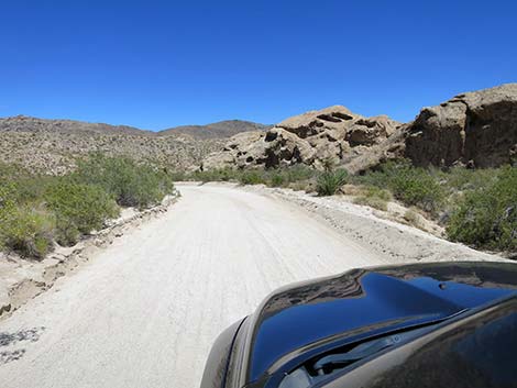
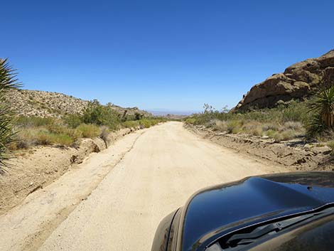
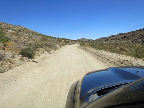
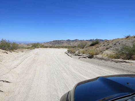
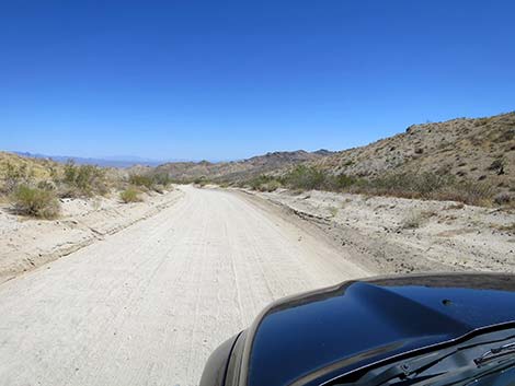
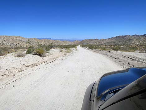
Shortly ahead, at another slight bend in the road to the right, CTP Road passes under the third powerline (2.65 miles out). These poles are wooden, and the service road here is narrow, but fairly good in both directions. Now running southeast, CTP Road continues up the bajada, and at about 3.05 miles out, bends back to the left to run due east again. In this area, the landscape transitions from desert flats to a rolling bajada, and the vegetation becomes more robust and diverse with lots of Mojave Yucca and Buckhorn Cholla. Having climbed a bit higher in elevation, CTP Road now enter the Mojave Desert Scrub Habitat Zone with many species of shrubs joining the floral mix. Desert wildflowers can be abundant in this area too. CTP Road continues up across rolling terrain bending a bit left or a bit right following the bajada towards the hills. By about 4.3 miles out, CTP Road runs along hills to the right that eventually become the tall Bridge Canyon Mountains. |
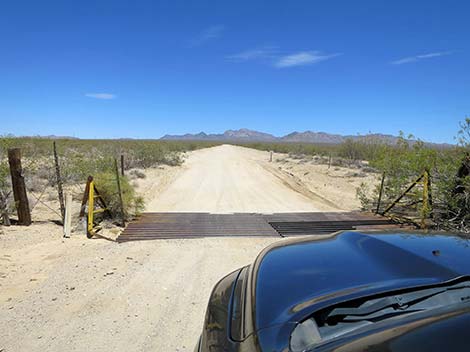 Cattle guard at highway fence (view E) |
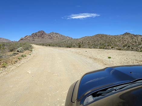
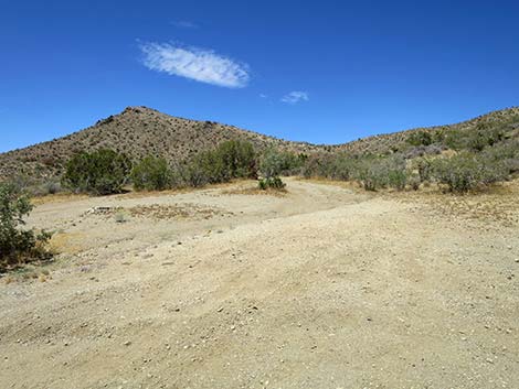
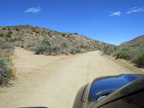
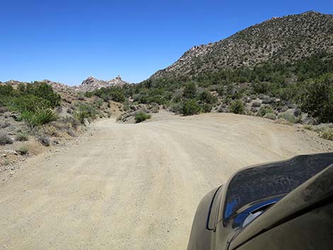
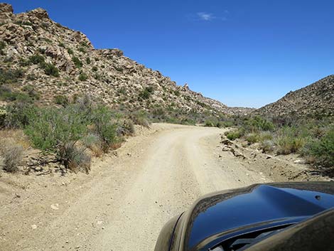
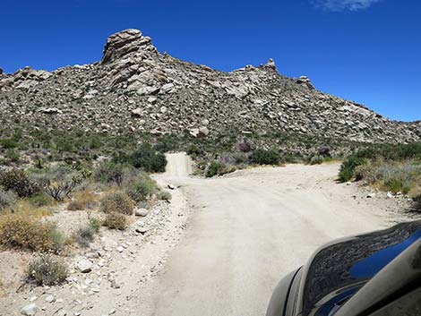
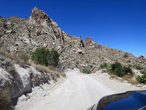
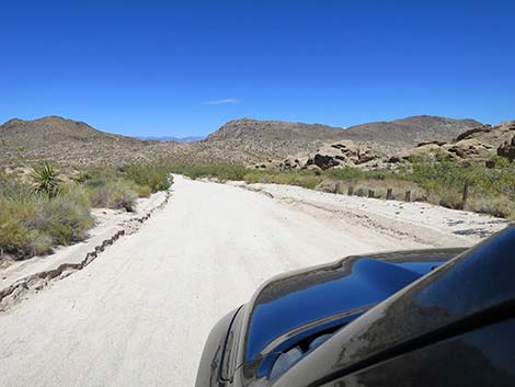
At about 4.87 miles out, CTP Road passes an ATV trail to the right. This trail runs south below the west face of the Bridge Canyon Mountains. At about 5.11 miles out, CTP Road passes the first of several campsites along CTP Road. In addition, another ATV trail branches off to the right here. This trail runs southwest and connects with the previous ATV trail. In this area, CTP Road starts to climb into the mountains and gets pinched between the rocky granite ridge on the right and the wash below to the left. At about 5.41 miles out, CTP Road passes small parking areas on the left and right, then begins to drop into the wash. At this point, CTP Road narrows from generally two-lanes wide to only 1-lane wide. As the narrow road winds into the mountains, drivers need to watch for downhill traffic on blind corners. In the bottom of the canyon, at about 5.49 miles out, a narrow road branches to the right. This road leads about 0.1 miles to a quail guzzler, on the left, then continues as an ATV trail that eventually connects with the previous two ATV trails. |
 CTP Road bends slight left (view E) |
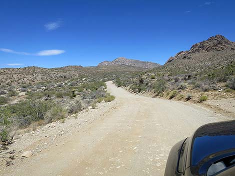
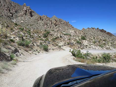
In this canyon, CTP Road generally stays on benches above the sandy wash, but CTP Road crosses the wash several times, and the road is sandy in places (but generally with a firm base). At about 5.92 miles out, CTP Road passes a small campsite on the left. This site is on the edge of bluffs overlooking the wash with nice sunset views, but it is small and right on the road. This is the first "nice" campsite along CTP Road. Continuing up the canyon, at about 6.22 miles out, CTP Road is forced into the sandy wash bottom at a point where a narrow road forks to the left. This side road is best suited for smaller, 4WD vehicles, but it climbs out of the canyon and runs north below the west face of Spirit Mountain to Loran Station Road. CTP Road quickly leaves the sandy wash bottom, and at about 6.40 miles out, passes a short spur road to the right. Just out of sight from CTP Road, this "road to nowhere" has a nice turn-around loop. CTP Road then crosses the wash and stays on the north side of the wash almost to Christmas Tree Pass. |
 CTP Road bends back slight right (view E) |
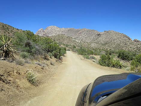
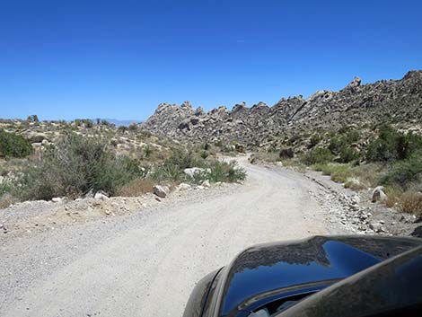
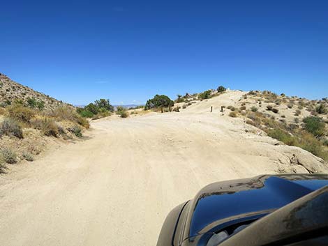
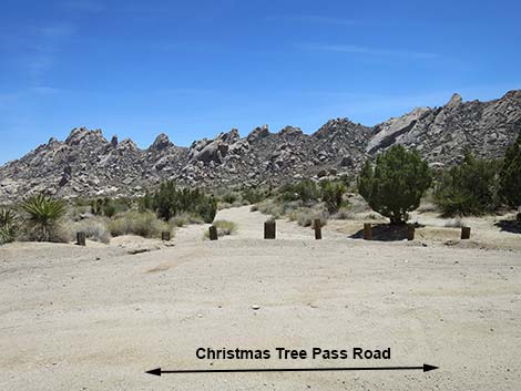
In this area, with high mountain peaks all around, the vegetation changes again. Here, in the Pinyon-Juniper Woodland habitat zone, trees enter the floral mix with lots of Shrub Live Oak, Singleleaf Pinyon Pine, and California Juniper. In most of Nevada, we have Utah Juniper, but not down here. CTP Road continues up the canyon, and at about 6.84 miles out, passes a camp area on the left. As with most campsites in this area, they aren't the best because of limited level ground for tents and cooking sites. At about 7.03 and 7.22 miles out, CTP Road passes similar camp areas. At about 7.26 miles out, now pinched between hillsides, CTP Road drops into the bottom of the canyon and heads uphill. This close to the pass, however, relatively little water flows down the wash, so there usually is little damage to the road surface. At about 7.41 miles out, Christmas Tree Pass comes into view. Passing hilly campsites on the left, CTP Road finally climbs atop the pass at 7.48 miles out. Surprisingly, views from atop the pass are not as grand as are views on the west or east sides of the mountains. |
 High-tension powerlines become visible in the distance (view E) |
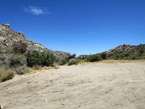
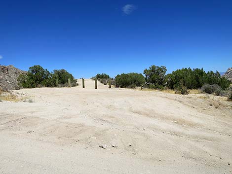
There are several campsites atop Christmas Tree Pass (Site 1316), but none are particularly nice. The best, with some level ground, is immediately to the right (south), but it is close to the road and lacks shade. Also on the south side, a short spur road leads up across the hillside to the southwest. This narrow road is best suited to small vehicles, as there is nowhere to turn around a full-sized truck. The campsites up there aren't very convenient. Consider walking up to take a look before driving up. Atop Christmas Tree Pass to the left (north), several sloping campsites can be found scatted among the few trees. These sites have a little shade and some isolation from the road, but the sloping ground is less than optimal. A network of ATV trails beyond the campsites suggest either renegade hill-climbing or a quest to find somewhere better to camp. Passing over Christmas Tree Pass (Site 1316; 7.48 miles out), CTP Road starts down at a moderate grade, and at 7.59 miles out, passes another campsite on the right. This campsite is right on the road and lacks shade, but it is more level than most. |
 Approaching two sets of high-tension powerlines (view E) |
Just past this campsite, the road narrows further and drops steeply into a narrow canyon. Here, the road runs in the wash with a tight, blind curve at the bottom. Past the blind curve, CTP Road leaves the wash and resumes dropping at moderate grades. At about 7.84 miles out, CTP Road passes another camp area on the left. Although used by campers, this area seems particularly unsuited to comfortable camping. It also has scars from renegade hill-climbing or the quest to find somewhere better to camp. Just past this camp area, CTP Road reaches the edge of Spirit Mountain Wilderness Area. For the rest of the ride, all of the land north and east of CTP Road lies within the wilderness area. The wilderness area is also entirely within Avi Kwa Ame National Monument, with the western parts primarily managed by the BLM and eastern parts primarily managed by the NPS, all in conjunction with the Coalition of Tribes. Not far ahead, lands on the other side of the road will be Bridge Canyon Wilderness Area, which is also within Avi Kwa Ame and jointly managed by the Feds and the Tribes. |
 Passing under second set of high-tension powerlines (view E) |
Continuing, at about 8.04 miles out, CTP Road passes a small campsite on the left. This small site, right off the road, probably is one of the best tent sites in the area. This can also be considered Spirit Mountain Trailhead parking. Shortly ahead, at about 8.12 miles out, CTP Road arrives at the official Spirit Mountain Trailhead (Site 1315) with parking for several vehicles. Hikers might bivouac here for the night, but this shouldn't be considered a campsite. Beyond Spirit Mountain Trailhead, CTP Road continues due south to a curve with a small parking spot on the right (8.24 miles out). CTP Road winds down the canyon and crosses the wash at 8.35 and 8.43 miles out. Both of these spots are subject to washouts. At 8.46 miles out, CTP Road passes another parking spot on the right. |
 Powerline service road (view N from CTP Road) |
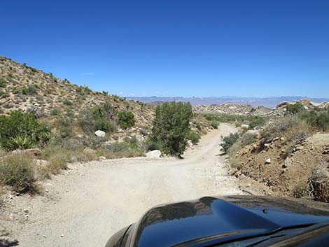
At 8.67 miles out, CTP Road arrives at Upper Grapevine Canyon Trailhead (Site 1314). Parking just off the road, hikers can start here and hike down to the Grapevine Canyon petroglyph site and the regular Grapevine Canyon Trailhead, but there is no trail until the very end. Continuing, CTP Road bends to the left and drops to cross the confluence of two major washes. This is one of the main places where CTP Road can be washed out. Climbing out of the wash and bending to the left, CTP Road now heads northeast. For the last 0.86 miles, the left side of the road has been the Spirit Mountain Wilderness Area, and now the right side is the Bridge Canyon Wilderness Area. From this point on, CTP Road runs in a corridor between the two wilderness area, effectively running through a wilderness area. Now climbing to the northeast, CTP Road enters Lake Mead National Recreation Area at about 8.88 miles out. The jurisdiction changes here, and so do some laws. For example, there is no legal camping along CTP Road in the Lake Mead managed area. |
 CTP Road approaching gas-line road (view E) |
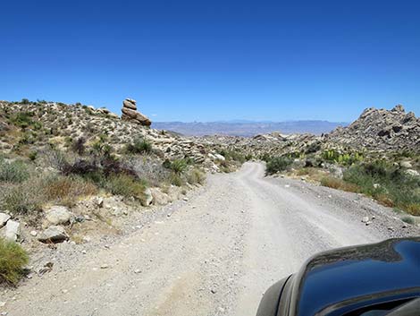
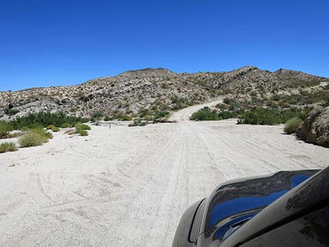
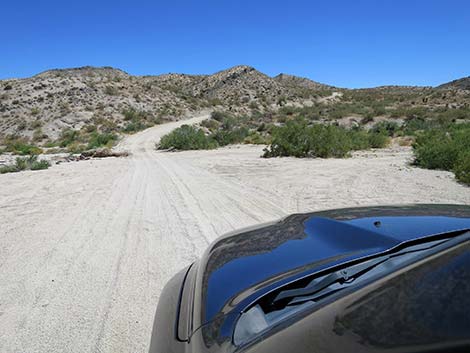
Continuing up the road, at about 9.03 miles out, CTP Road arrives at a parking area, on the right, for Sacatone Canyon Viewpoint (Site 1313). A short trail (about 20 yards) leads to the overlook with grand views east down Sacatone Canyon and out across Lake Mohave into Arizona, not to mention the south face of Spirit Mountain to the north and the Bridge Canyon Mountain with craggy granite saw-teeth to the south. Passing Sacatone Canyon Viewpoint, CTP Road bends hard to the right to run east and steeply down across the side of Spirit Mountain. The narrow road winds steeply down until about 9.77 miles out where it arrives at a second viewpoint: Bridge Canyon Overlook (Site 1312). Here, another short trail (20 yards) leads up to the overlook. As with the previous viewpoint, this overlook provides grand views up and down Sacatone Canyon, big views into Arizona to the east, Spirit Mountain to the north, and the craggy granite domes of the Bridge Canyon Mountains to the south. |
 Gas-line road (view N from CTP Road) |
Continuing past Bridge Canyon Overlook, CTP Road makes one last, very steep descent to another parking area (9.90 miles out). This point marks a transition from the mountains to the foothills, and while the road is wider, the grades are more gentle, and the grading is more frequent, parts are still steeper than they seem. This parking area and the next (Site 1311; 10.00 miles out), serve as trailhead parking for upper Sacatone Wash and the rocky crags of the Bridge Canyon Mountains. With two vehicles, hikers can start here and hike one-way down to the main Sacatone Wash Trailhead parking area (Site 1308). With Spirit Mountain in the rearview mirror, the landscape here is big and dominated by the Bridge Canyon Mountains to the right. In this area, the road drops out of the Pinyon-Juniper Woodland zone and back into the Mojave Desert Scrub zone; note the lack of trees. Descending the sandy road to the east, CTP Road parallels the craggy Bridge Canyon Mountains and eventually arrives at another parking area with a trail down into Sacatone Wash (11.36 miles out). This is the easiest place to get up close and personal with the craggy granite outcrops. |
 CTP Road curving slightly right (view E) |
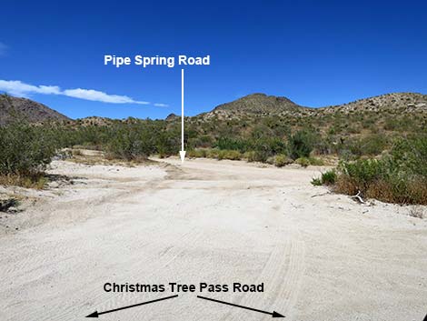
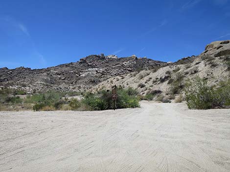
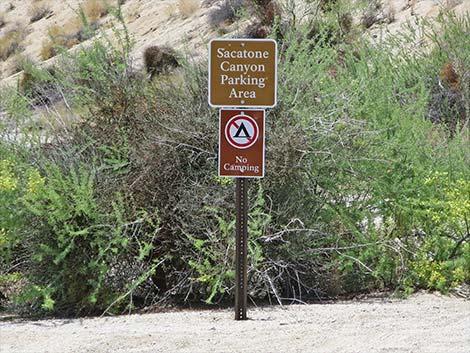
Shortly, CTP Road bends hard to the right at a triangular intersection with Pipe Spring Road (Site 1309; 11.67 miles out). Pipe Spring Road runs north for 0.40 miles to end at Pipe Spring Trailhead (Site 1310). This road sometimes requires 4WD. From the trailhead, an old road runs northeast until disappearing into the sands of Pipe Canyon Wash. CTP Road, now running nearly due south, continues down the sandy canyon passing close under the east end of the craggy Bridge Canyon Mountains. At the bottom of the canyon, a broad, sandy wash (Sacatone Wash) crosses the road. Just before crossing the wash, CTP Road arrives at a spur road to the right (Site 1307; 13.27 miles out). This is Sacatone Trailhead Access Road, a short spur road that runs uphill into the large Sacatone Canyon Trailhead parking area (Site 1308). Hikers can use this trailhead to hike up and down Sacatone Canyon. |
 CTP Road at another road intersection (view E) |
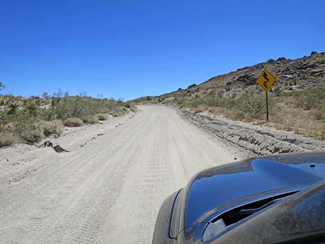
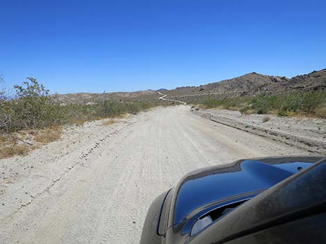
Continuing, CTP Road crosses Sacatone Wash (13.29 miles out) and begins climbing a long, fairly steep hill that climbs over the ridge ahead. Cresting the ridge (13.86 miles out), the road opens onto a broad view to the south with Grapevine Canyon Wash crossing the road ahead in the distance. CTP Road runs near straight and nearly due south until crossing Grapevine Canyon Wash (14.38 miles out). Shortly thereafter (14.45 miles out), CTP Road arrives at Grapevine Canyon Road (Site 0824), on the right. This road leads 300 yards west to trailhead parking (Site 0825) for the popular Grapevine Canyon petroglyph site hike. Beyond Grapevine Canyon Road, CTP Road climbs over a low rise (14.76 miles out), winds around a bit, and begins a long descent to the south. This part of CTP Road is heavily used compared to the previous many miles, and as such, the washboards on the sandy road can become severe. In that case, be careful on the downhill curves because it is easy to lose control with downhill momentum when the wheels are bumping into the air and the tops of the washboards are loose sand. |
 Dirt cross-road (view N from CTP Road) |
After descending on the sandy CTP Road for another 1-1/2 miles, drivers pass the backside of several signs on the left. These are Lake Mead area rules and cautions intended for drivers entering the area, and this gives a clue that CTP Road is nearing the end. Shortly ahead, CTP Road ends at Highway 163 (Site 0823), some 16.32 miles from Highway 95. When pulling onto Highway 163, be careful because the speed limit is 70 mph, and downhill drivers likely are driving even faster. Laughlin is downhill to the left, and Las Vegas is uphill to the right. |
 CTP Road approaching wooden power poles (view E) |
 Wooden Power-pole Road (view N from CTP Road) |
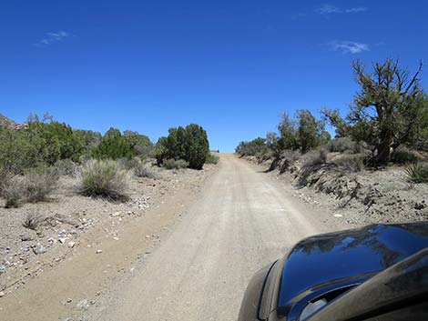
 CTP Road continues into rolling bajada hills (view E) |
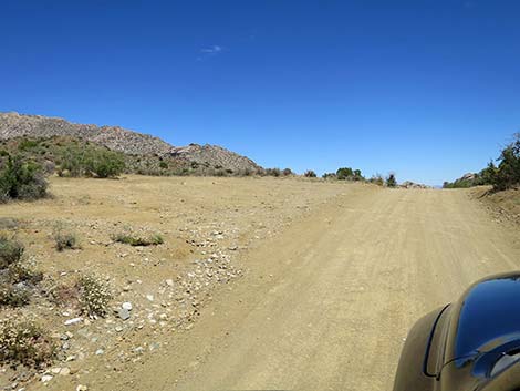
 CTP Road (view E) |
 CTP Road (view E) |
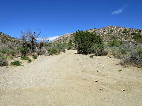
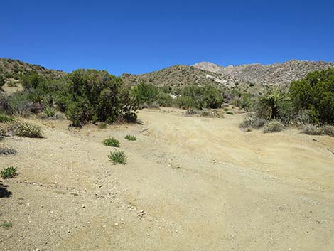
 CTP Road at an ATV trail (view E) |
 CTP Road at a campsite (view SE) |
 CTP Road drops into the wash (view E) |
 CTP Road passing guzzler access road (view NE) |
 CTP Road begins to run into the mountains (view E) |
 CTP Road as a campsite (view E) |
 CTP Road at a road to the left (view NE) |
 CTP Road at a short spur road right (view E) |
 CTP Road at a campsite spur road (view E) |
 Campsite spur road (view N from CTP Road) |
 CTP Road at a campsite spur road to the left (view SE) |
 CTP Road at another campsite spur road to the left (view SE) |
 Campsite spur road to the left (view NE from CTP Road) |
 CTP Road approaching Christmas Tree Pass (view SE) |
 CTP Road atop Christmas Tree Pass (camp area at left; view SE) |
 Campsite spur road to the right (view SE from CTP Road) |
 CTP Road starting over Christmas Tree Pass (view SE) |
 CTP Road running down east side of Christmas Tree Pass (view SE) |
 CTP Road passing a small campsite on the right (view SE) |
 CTP Road approaching tight curve to the left (view S) |
 Spirit Mountain comes back into view (view SE) |
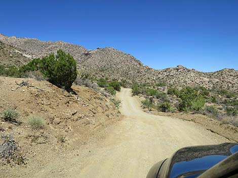 CTP Road rolling through the mountains (view S) |
 Campsite spur road to the left (view NE from CTP Road) |
 Left side of CTP Road is Spirit Mountain Wilderness Area (view SE) |
 Small campsite to the left (view E from CTP Road) |
 CTP Road approaching Spirit Mountain Trailhead, on the left (view SE) |
 Spirit Mountain Trailhead (view E from CTP Road) |
 CTP Road runs parallel to a wash (view S) |
 CTP Road at a small campsite to the right (view S) |
 CTP Road runs down to cross the wash (view S) |
 CTP Road runs down to cross back across the wash (view SE) CTP Road runs down to cross back across the wash (view SE) |
 CTP Road gets close to the rocky scenery (view SE) |
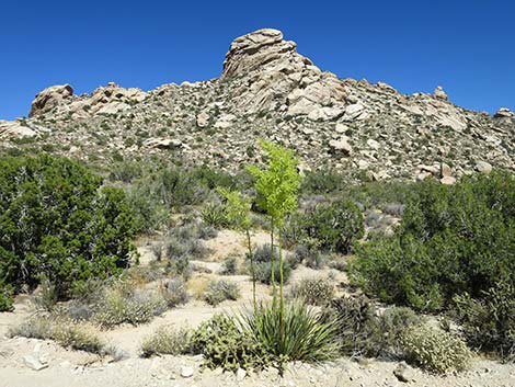
 Hillside covered with blooming Bigelow's Nolina (view S) |
 CTP Road at Upper Grapevine Canyon Trailhead (view SE) |
 Upper Grapevine Canyon Trailhead (view S from CTP Road) |
 After crossing deep wash, CTP Road curves hard right (view NE) |
 Right side of road is now Bridge Canyon Wilderness Area (view SE) |
 CTP Road approaching Lake Mead NRA boundary (view NE) |
 CTP Road at Lake Mead NRA boundary (view NE) |
 South flanks of Spirit Mountain (view N) |
 CTP Road approaching a high point (view N) |
 Sacatone Viewpoint parking (view E from CTP Road) |
 CTP Road starting down steeply from the high point (view N) |
 CTP Road descending steeply across side of Spirit Mountain (view NE) |
 CTP Road descending steeply passes stacked boulders (view E) |
 CTP Road descending towards Bridge Canyon Mountains (view SE) |
 CTP Road still descending steeply below Spirit Mountain (view NE) |
 CTP Road still descending steeply below Spirit Mountain (view E) |
 CTP Road still descending steeply below Spirit Mountain (view E) |
 CTP Road approaching parking for Bridge Overlook (view E) |
 One last, steep section (view E) |
 CTP Road approaching Willow Spring trailhead, on the right (view E) |
 Willow Spring (dry) Trailhead parking (view S) |
 CTP Road passing the last of Spirit Mountain crags (view E) |
 Scenery becomes dominated by Bridge Canyon Mountains (view E) |
 CTP Road is two lanes wide most of the rest of the way (view E) |
 CTP Road is steeper than it looks (view E) |
 CTP Road (view E) |
 CTP Road (view NE) |
 CTP Road approaching another parking area (view NE) |
 Parking area (view SE from CTP Road) |
 CTP Road approaching end of Bridge Canyon Mountains (view E) |
 CTP Road approaching Pipe Spring Road (view E) |
 Pipe Spring Road (triangle intersection; view NE from CTP Road) |
 CTP Road bends around end of Bridge Canyon Mountains (view SE) |
 CTP Road becomes quite sandy, but with a firm base (view SE) |
 CTP Road approaching an isolated rocky outcrop (view SE) |
 CTP Road approaching Sacatone Wash (view S) |
 CTP Road at Sacatone Wash Trailhead Road, on the right (view S) |
 Sacatone Wash Road (view W from CTP Road) |
 Sign at entrance to parking area (view W) |
 CTP Road climbing past Sacatone Wash; no shooting zone (view SW) |
 CTP Road climbing long hill past Sacatone Wash (view SW) |
 Finally a warning: squiggly road ahead! (view SW) |
 Atop the hill, Grapevine Valley comes into view (view S) |
 CTP Road approaching Grapevine Canyon Road (view S) |
 CTP Road at Grapevine Canyon Road, to the right (view S) |
 CTP Road climbs over another hill (view SE) |
 Another squiggly road sign (view SE) |
 CTP Road runs down the hill; lots of washboards (view S) |
 CTP Road runs down the hill (view S) |
 CTP Road leaving the no shooting zone (view S) |
 CTP Road continues down the slope (view SE) |
 |
 |
 CTP Road passing Lake Mead information signs (view SE) |
 CTP Road passing more Lake Mead information signs (view SE) |
 CTP Road approaching Highway 163 (view S) |
 CTP Rd at Highway 163 with vehicles traveling over 70 mph (view S) |
Table 1. Highway Coordinates Based on GPS Data (NAD27; UTM Zone 11S). Download Highway GPS Waypoints (*.gpx) file.
| Wpt. | Location | Latitude (N) | Longitude (W) | Elevation (ft) | Point-to-Point Distance (mi) | Cumulative Distance (mi) |
|---|---|---|---|---|---|---|
| 1219 | Hwy 95 at Christmas Tree Pass Rd | 35.26786 | 114.87016 | 2,535 | 0.00 | 00.00 |
| 1316 | Christmas Tree Pass | 35.26077 | 114.74390 | 3,945 | 7.48 | 07.48 |
| 1315 | Spirit Peak Trailhead Parking | 35.25787 | 114.73458 | 3,768 | 0.64 | 08.12 |
| 1314 | Christmas Tree Rd at Grapevine Cyn Rd | 35.25189 | 114.72913 | 3,607 | 0.55 | 08.67 |
| 1313 | Sacatone Overlook Parking | 35.25594 | 114.72685 | 3,684 | 0.36 | 09.03 |
| 1312 | Bridge Overlook Trailhead Park | 35.25692 | 114.71603 | 3,380 | 0.74 | 09.77 |
| 1311 | Sacatone Wash Parking Upper | 35.25726 | 114.71215 | 3,310 | 0.23 | 10.00 |
| 1309 | Christmas Tree Rd at Pipe Spring Rd | 35.26325 | 114.68471 | 2,740 | 1.67 | 11.67 |
| 1307 | Christmas Tree Rd at Sacatone Rd | 35.24169 | 114.67448 | 2,232 | 1.60 | 13.27 |
| 0824 | Christmas Tree Rd at Grapevine Cyn | 35.22552 | 114.67796 | 2,325 | 1.18 | 14.45 |
| 0823 | Hwy 163 at Christmas Tree Rd | 35.20072 | 114.66788 | 1,952 | 1.87 | 16.32 |
Happy Hiking! All distances, elevations, and other facts are approximate.
![]() ; Last updated 240323
; Last updated 240323
| Backroads Around Lake Mead | Hiking Around Las Vegas | Glossary | Copyright, Conditions, Disclaimer | Home |