Backroads Around Las Vegas, Red Rock Canyon National Conservation Area
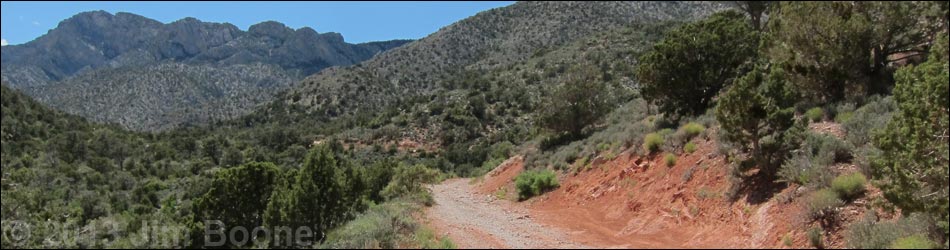
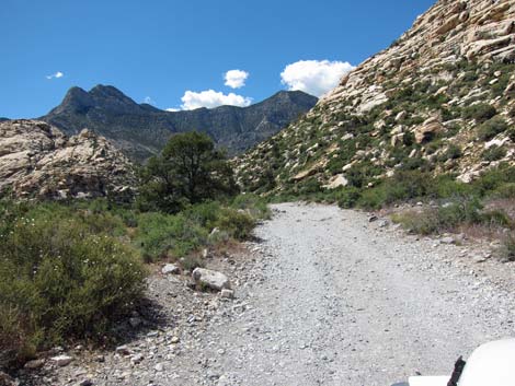
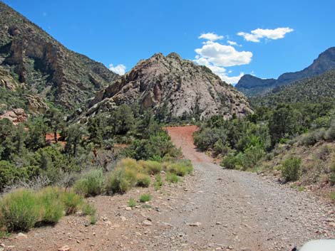
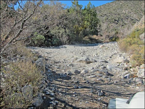
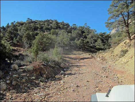
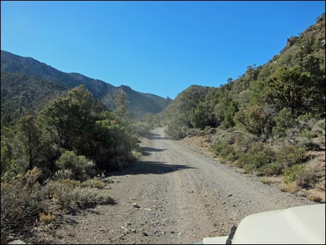
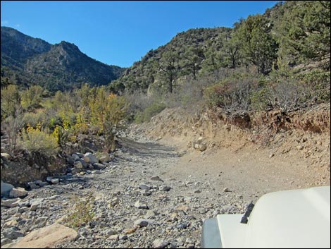
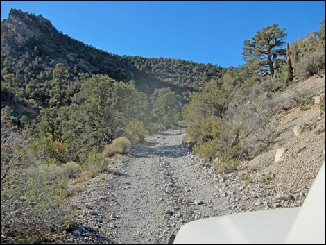
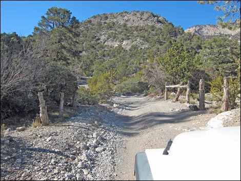
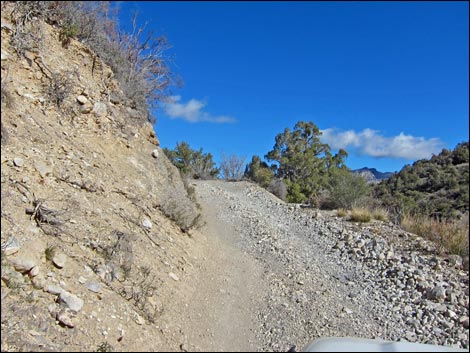
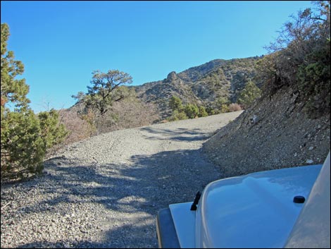
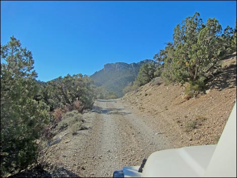
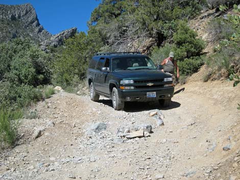
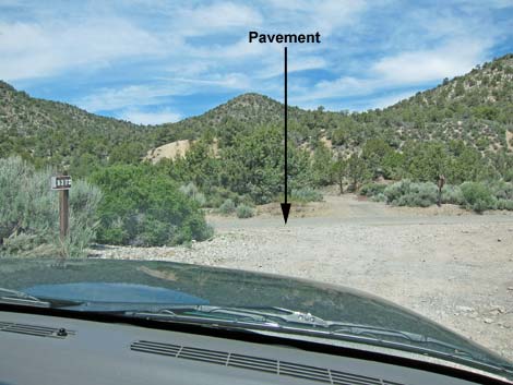
 End of pavement; start of Rocky Gap Rd (view NW) |
Overview Rocky Gap Road is an extremely rugged backcountry road that runs from Willow Springs Picnic Area in Red Rock Canyon National Conservation Area (BLM land) to Lovell Canyon Road in the Spring Mountains National Recreation Area (USFS land), threading a narrow gap between the Rainbow Mountain Wilderness Area and La Madre Mountain Wilderness Area the entire way. Link to Overview Map, Western Section Map, or Eastern Section Map. |
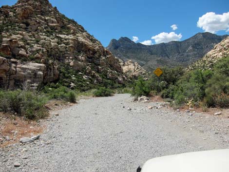
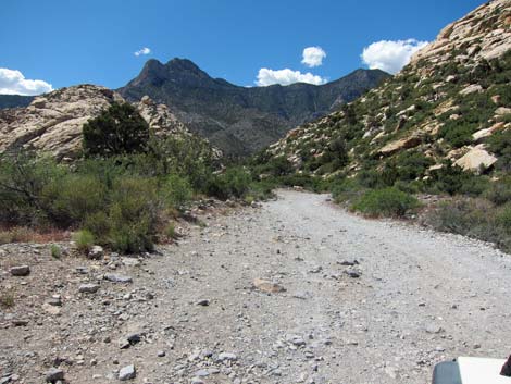
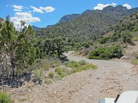
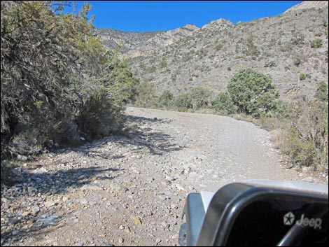
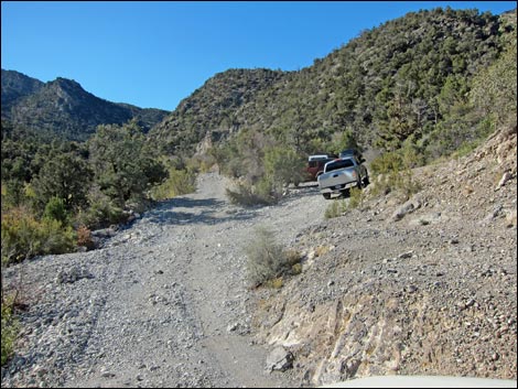
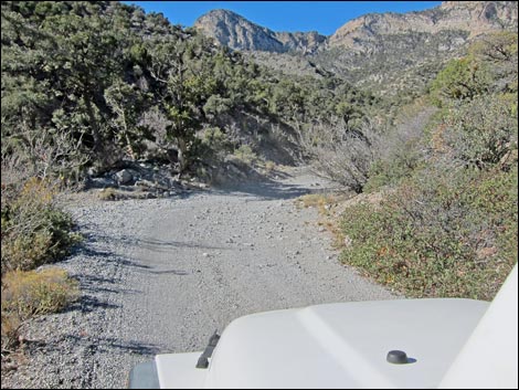
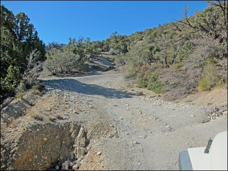
 Passing a turn-about loop, on the left (view NW) |
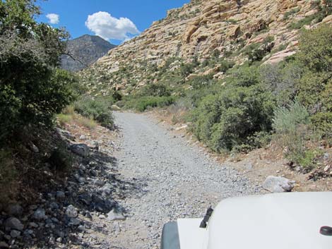
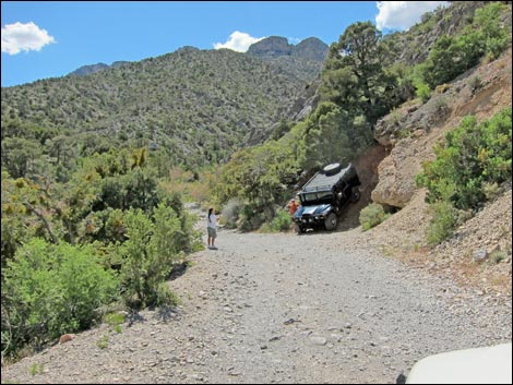
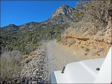
The road is rough on the east side of the mountains, but it usually is passable in not-so-high-clearance 4WD vehicles, such as a Chevy Suburban. The road is more washed out on the west side of the mountains, but it is passable in 4WD vehicles such as a stock Jeep Rubicon, a 1995 Tacoma with 1.5 lift, and a stock Ford Raptor. Some spots are tight for the Raptor, but the washed-out area is passable to semi-skilled drivers with spotters in stock 4x4s. There no longer is need for tricked-out rock crawler jeeps, but bring a high-lift jack, a shovel, a tow rope, and a buddy if you want to drive the entire road. |
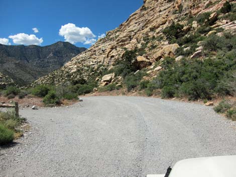
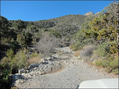
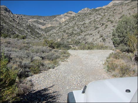
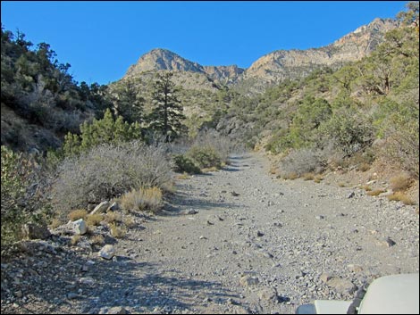
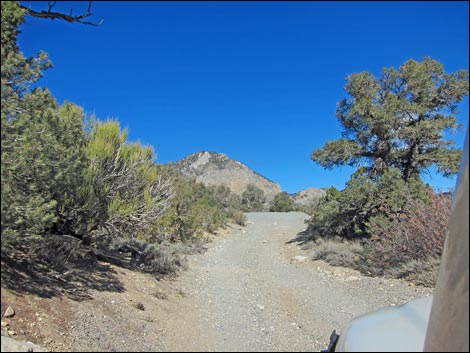
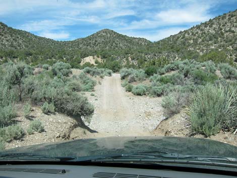
 Rocky Gap Road departing the Willow Springs area (view NW) |
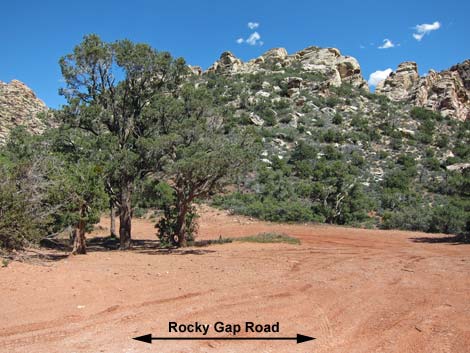
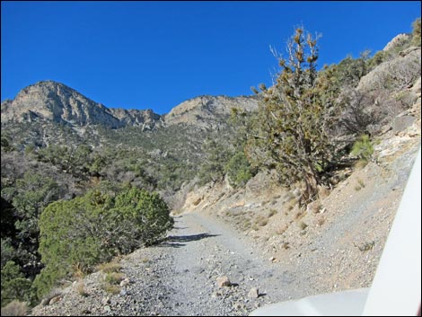
The road provides access to hikes on the north side of the White Rock Hills (e.g., La Madre Spring, La Madre Miner's Cabin), hikes in Red Rock Canyon (e.g., Waterfall Canyon), and hikes on the backside of the Red Rocks Escarpment (e.g., North Peak and Bridge Mountain). Rocky Gap Road is 8.9 miles long. For hikers on the Red Rock side of the mountain, the road is reasonable for any 4WD vehicle for the first 1.7 miles (to the base of Waterfall Canyon). Beyond there, the road is quite rugged in places, but passable over the summit and down through the washout (at about 6.7 miles out) to Lovell Canyon Road (8.9 miles out). I expect that over time, off-road clubs will fix the worst of the road. |
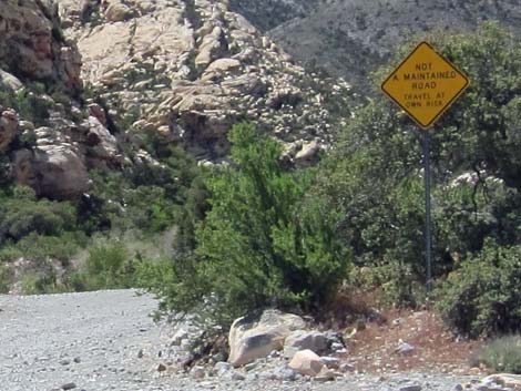 Sign: Not A Maintained Road, Travel at Own Risk (view NW) |
Watch Out Other than the standard warnings about driving in the desert, ...this is an extreme drive. Under normal conditions, driving the entire road is suitable only for skilled drivers. From the west, driving the first 2 miles requires only regular 4WD, and from the east, driving the first 1.7 miles requires only regular 4WD. While out, please respect the land and the other people out there, and try to Leave No Trace of your passage. Also, even though this road is short, be sure to bring what you need of the 10 Hiking Essentials plus vehicle repair and rescue gear. |
 |
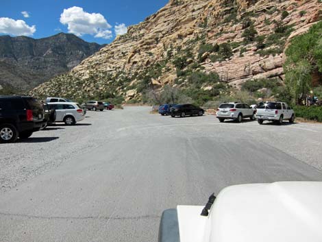
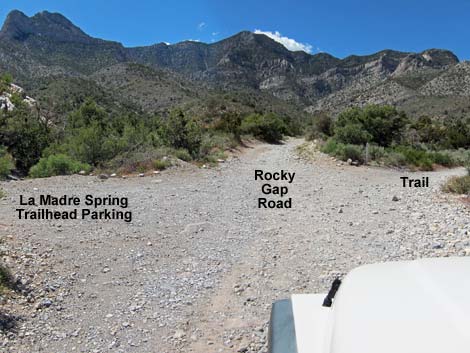
Getting to the Roadhead This road runs between Willow Springs Road on the east side and Lovell Canyon Road on the west side. From Las Vegas, drive out to Red Rock Canyon National Conservation Area, pay the fee, and then drive about half-way around the Scenic Loop Road to Willow Spring Road. Turn right and drive north 0.6 miles to the end of the pavement (Site 0181). Rocky Gap Road continues straight ahead as a dirt road. From Lovell Canyon Road, drive out Highway 160 towards Pahrump. About 3 miles west of Mountain Spring Summit, turn north onto Lovell Canyon Road and drive north on the pavement for 7.5 miles to a dirt road on the right (Site 1077), which is Rocky Gap Road (Forest Road #549). |
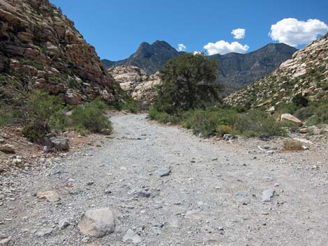 |
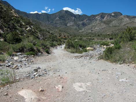
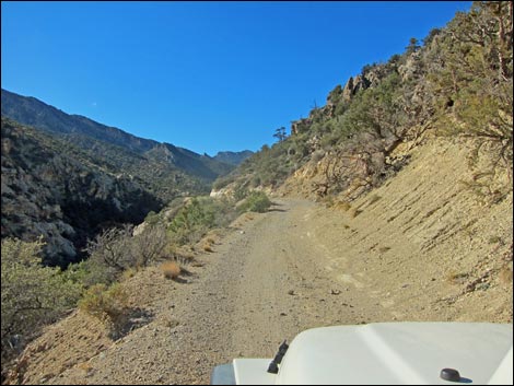
The Road From the Willow Springs Picnic Area (Site 0181), Rocky Gap Road continues northwest and up the canyon past the pavement. The rocky road runs up Red Rock Canyon between Red Rock Wash and the towering sandstone cliffs of White Rock Mountain. This is a good area to see bighorn sheep, so keep an eye out. There are also some Native American agave roasting pits along the road, evidence that people have been using this area for thousands of years. At about 0.55 miles out, the road crosses Red Rock Wash (Site 0858). There are several parking areas along the road just before the wash, a clue about what is to come. Most hikers in trucks, and everyone in sedans, will park in this area. |
 Rocky Gap Road (0.17 miles out) |
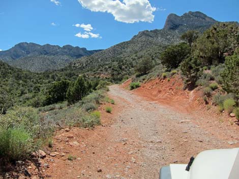
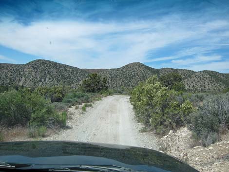
At about 0.65 miles out, the road passes the La Madre Trailhead. It sometimes takes 4WD to get past the wash, but once in a while maintenance is done along this section, making it passable for high-clearance, 2WD vehicles. Just beyond the trailhead, a patch of road is quite rough. The road bends to the west and climbs across a red hillside as it runs up the west fork of Red Rock Wash. From here and for most of the next mile, the road is rocky, but not bad. At about 1.25 miles out, a large parking area is passed on the left. This is a good place to stop and enjoy the scenery. There is a similar place at 1.33 and 1.50 miles out. These pull-outs are referred to as the "pink-jeep turn-around" spots. |
 |
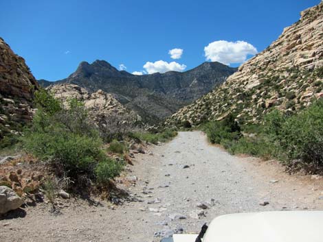
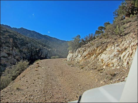
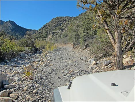
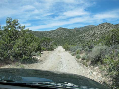
From the last pink-jeep turn-around, the road continues another 0.2 miles to where the creek from Waterfall Canyon crosses the road (1.70 miles out). Water often flows across the road here, and as a result, it can be a bit washed out. This is a good place for drivers in regular 4WD vehicles to stop, as the road deteriorates considerably beyond this point. Just past the water, the road turns a sharp corner and climbs out of the wash on a steep bank with lots of large boulders to negotiate. After four quick switchbacks, the canyon bends to the south. Much of the road beyond this point is narrow and rocky, runs along the edge of cliffs, climbs steep switchbacks, and hops across boulders in the wash. In general, however, if you can get past Waterfall Canyon, the road isn't too bad. |
 |
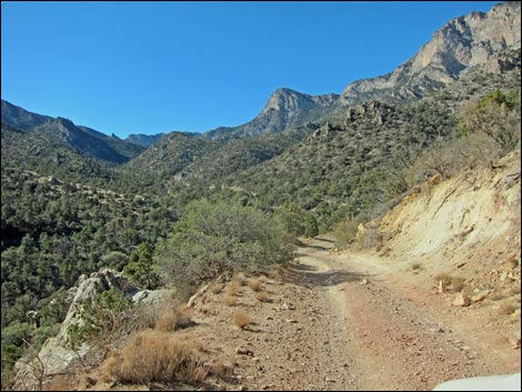
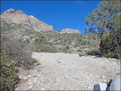
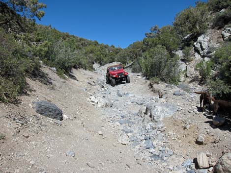
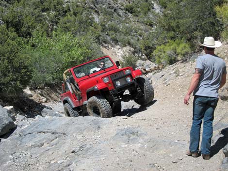
At about 3.6 miles out, the road passes Switchback Spring and finally winds up to Red Rock Summit at 4.8 miles out. This is a great place to stop, stretch the legs, and take a few photos. Continuing over the summit, the road runs down hillsides into the bottom of the canyon to the west. After the road hits the wash, it gets rougher, and at about 6.7 miles out, it is washed out and difficult in regular 4WD vehicles. For the next 200 yards, the bottom of the canyon is a jumble of huge boulders that is best passed using the assistance of spotters. Past the washout, the road is rough in places, but is again passable in regular 4WD vehicles. |
 |
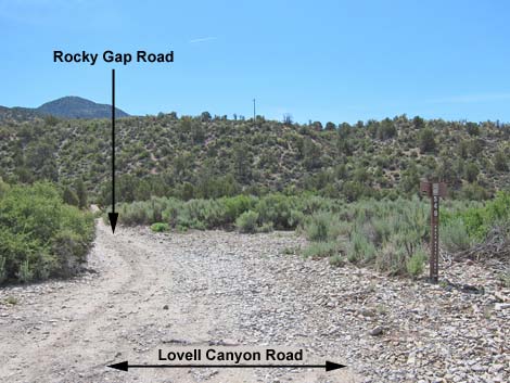
At about 7.5 miles out, the road runs out to a T-intersection at the edge of a bluff overlooking the paved Lovell Canyon Road that can be seen below in the bottom of the canyon. At the T-intersection, Rocky Gap Road turns sharply to the right (north), while a hardly noticed road turns left. Rocky Gap Road then runs down across the hillside. Most of the way down the hillside, Rocky Gap Road passes through a gate that seems never to be locked. Beyond the gate, Rocky Gap Road takes a hairpin turn to the left (a lesser-used road continues straight. Continuing down, Rocky Gap Road turns back to the right and heads west across Lovell Wash to the paved Lovell Canyon Road. Civilization is downhill to the left. |
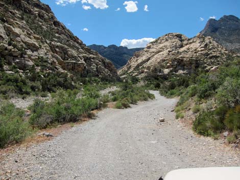
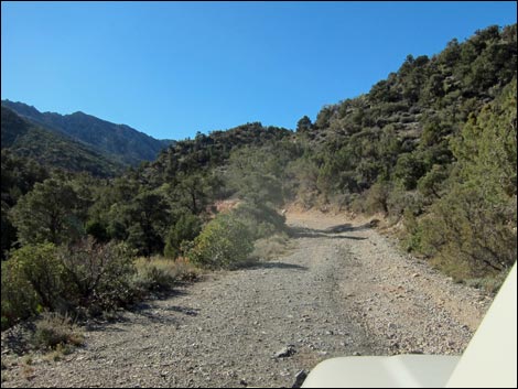
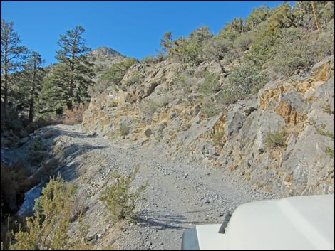
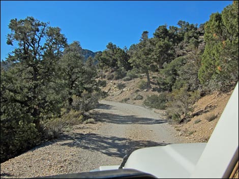
 There are some big rocks in the road (view NW) |
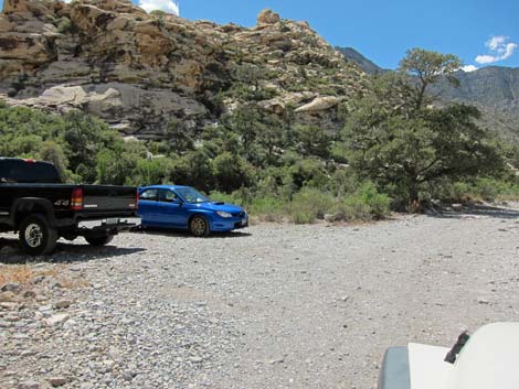 Parking before crossing Red Rock Wash (view NW) |
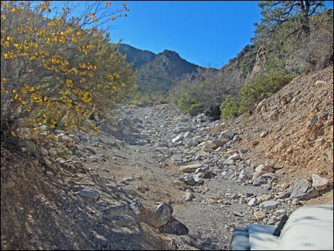
 Rocky Gap Road crossing Red Rock Wash; 0.52 miles out |
 Rocky Gap Road at La Madre Spring trailhead parking; 0.63 miles out |
 Red dirt; 0.77 miles out |
 1st scenic pullout; 1.26 miles out |
 2nd scenic pullout in trees on left; 1.46 miles out |
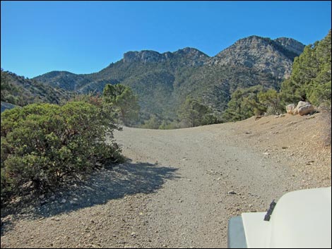
 Rocky Gap Road (1.60 miles out) |
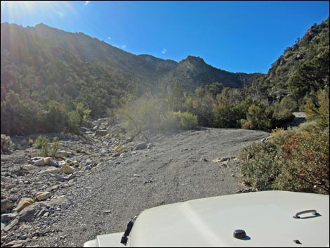
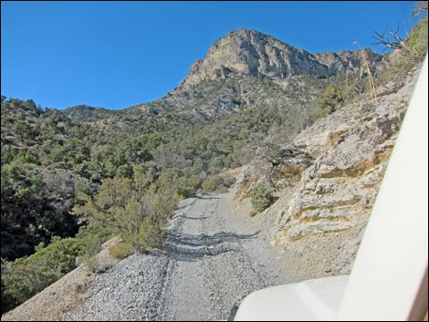
 End of the easy road; 1.66 miles out; not sure what up here |
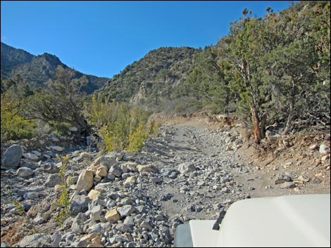
 Approaching Waterfall Creek |
 Just past Waterfall Creek; often a difficult spot |
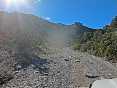
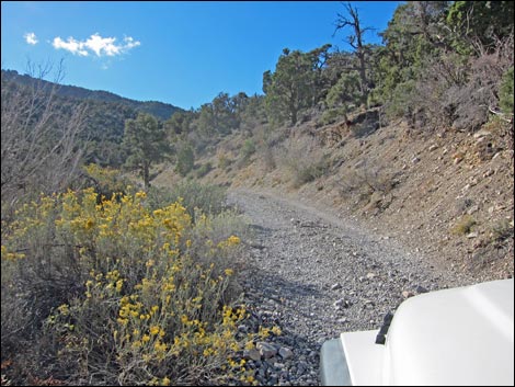
 Easy street |
 |
 |
 |
 |
 |
 |
 |
 |
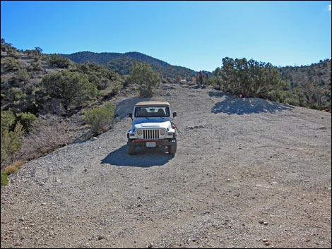
 North Peak Trailhead parking |
 Easy street |
 |
 |
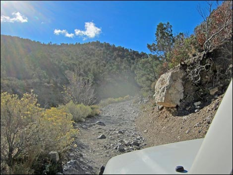
 Often a difficult spot in the wash |
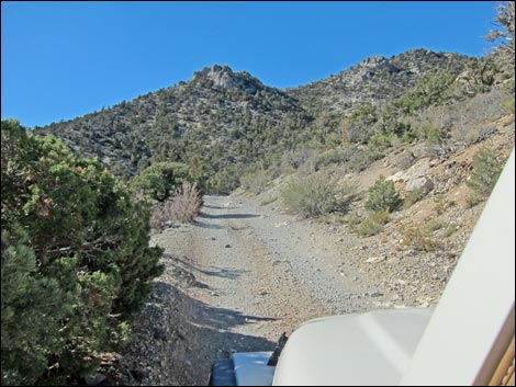
 Back on easy street |
 |
 |
 |
 |
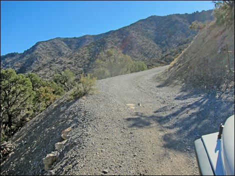
 Narrow spot |
 Approaching Switchback Spring |
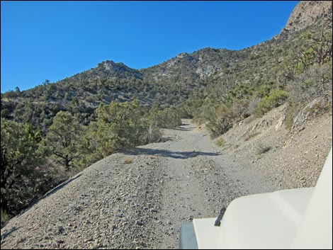
 Easy street |
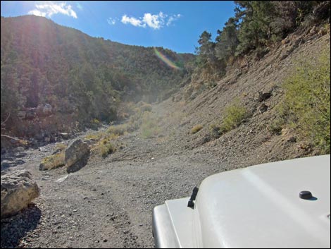 Dropping into the wash; often a difficult spot |
 |
 |
 |
 |
 |
 |
 |
 |
 |
 |
 |
 |
 |
 |
 Rocky Gap Summit - Highpoint on the road |
 Rocky Gap Summit trailhead parking (Bridge Mountain trailhead) |
 Washout; about 6.65 miles out |
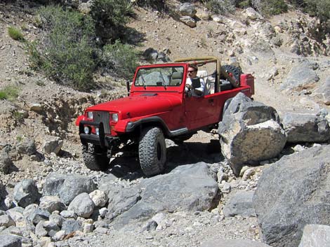 Navigating boulders (June 2011; not so bad now) |
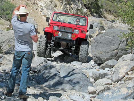 Even seasoned drivers need a spotter |
 Even seasoned drivers need a spotter; 6.75 miles out |
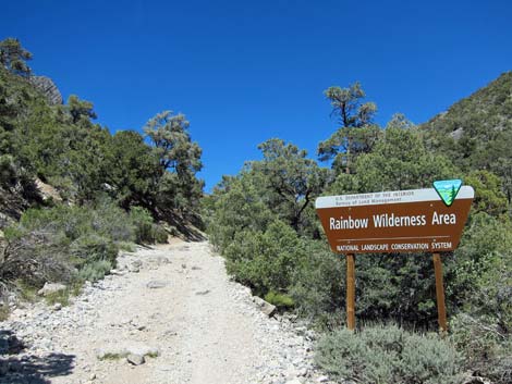 Rainbow Mountain Wilderness Area on right (6.9 miles out) |
 Checking rocks before driving over (7.2 miles out) |
 Easy road (8.3 miles out) |
 Easy road (8.4 miles out) |
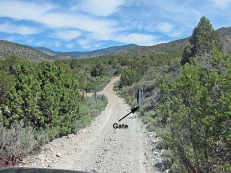 Open gate before hairpin turn (8.6 miles out) |
 Lovell Wash (8.8 miles out) |
 Lovell Canyon Road (8.9 miles out) |
 Rocky Gap Road (view east from Lovell Canyon Road; 8.9 miles out) |
Table 1. Backroad Coordinates (NAD27; UTM Zone 11S). Download Roadway GPS Waypoints (*.gpx) file.
| Site # | Location | UTM Easting | UTM Northing | Latitude (N) | Longitude (W) | Elevation (ft) | Verified |
|---|---|---|---|---|---|---|---|
| 0181 | Willow Spring Picnic Area | 635106 | 4002654 | 36.16104 | 115.49798 | 4,575 | Yes |
| 0406 | La Madre Spring TH | 634311 | 4003136 | 36.16549 | 115.50673 | 4,849 | Yes |
| 0501 | Rocky Gap Rd, summit | 632064 | 3999277 | 36.13102 | 115.53235 | 6,457 | Yes |
| 0858 | Rocky Gap Rd at Red Rock Wash | 634411 | 4003036 | 36.16457 | 115.50564 | 4,741 | Yes |
| 1077 | Lovell Cyn Rd at Rocky Gap Rd | 628556 | 3997739 | 36.11763 | 115.57158 | 5,331 | Yes |
| Washout-East | Washout-East | 630944 | 3998996 | 36.12864 | 115.54484 | 6,135 | Map |
| Washout-West | Washout-West | 630853 | 3998920 | 36.12797 | 115.54587 | 6,106 | GPS |
Happy Hiking! All distances, elevations, and other facts are approximate.
![]() ; Last updated 240330
; Last updated 240330
| Backroads | Hiking Around Las Vegas | Glossary | Copyright, Conditions, Disclaimer | Home |