Backroads Around Las Vegas
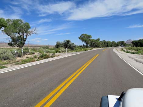 Highway 93 approaching Badger Valley Road (view N) |
Overview Badger Valley Road is a 22-mile dirt road that runs west from US Highway 93, winds south through the Pahranagat Range, and drops into the lower end of Badger Valley. In Badger Valley, the road turns northwest towards Badger Mountain, eventually winding up into Badger Spring Canyon. Road grading ends at Badger Spring, but the road continues north winding among trees and straddling boulders for another 1/2 mile to Tikaboo Peak Trailhead. Even here, a rougher road bends back south for 0.2 miles, ending at a tight turn-around where the Tikaboo Peak Trail disappears into the trees heading for the summit where hikers can view Groom Lake and the secret military base called Area 51. The road normally is graded by Lincoln County because it provides free access for ranchers to publicly owned grazing lands. The road provides access to vast public lands, the Shooting Gallery Unit of Basin and Range National Monument, and an alternative way to start south on the Alamo Road. Link to road map. |
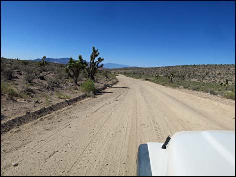
 Badger Valley Road (view W from Highway 93) |
Watch Out Other than the standard warnings about driving in the desert, ...this road is pretty safe out to Badger Spring, but be sure that your vehicle is in good working condition, carry plenty of water (radiator and drinking), and pack a lunch. Always drive carefully; even though the road is maintained, there are occasional hazards such as errant boulders on the roadway, washouts, and the far end of the road can be a bit sandy, but it seems firm - use good judgment. During fall 2020, the road has become very sandy between Alamo Road Connector (Site 0872) to Curtis Canyon Road (Site 1142). Driving uphill in my RAM truck with big tires, I felt as though I needed to keep my speed up for those 7 miles in Badger Valley Wash. While out, please respect the land and the other people out there, and try to Leave No Trace of your passage. This road goes into remote areas, so be sure to bring the 10 Essentials. Cell phones don't work along most of this road. |
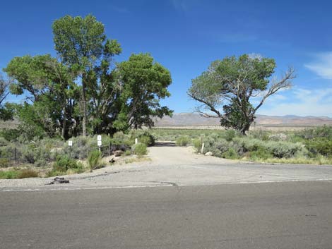
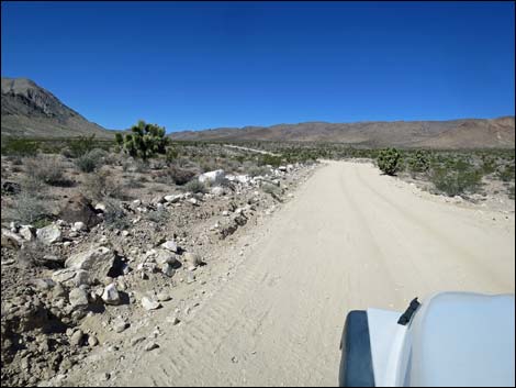
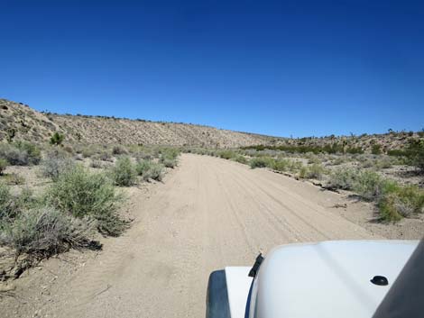
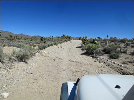
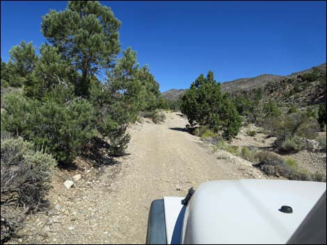
 Start of Badger Valley Road (view W) |
Getting to the Road Badger Valley Road starts about 1-1/4 hours northeast of Las Vegas in the Pahranagat Valley, about 88 miles north of Las Vegas on Highway 93 (6.4 miles south of Alamo). From Las Vegas, drive north on Interstate 15 to US Highway 93. Exit onto Highway 93 and drive north towards Alamo. In the Pahranagat Valley, note the turnoff to Pahranagat National Wildlife Refuge Visitor Center, and continue north another 0.4 miles north of the visitor center turnoff to an unmarked dirt road (Milepost LN 32.2) on the left that goes under tall cottonwood trees. |
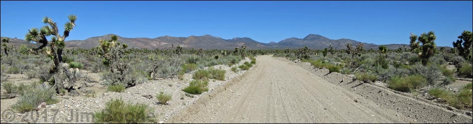
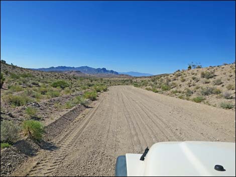
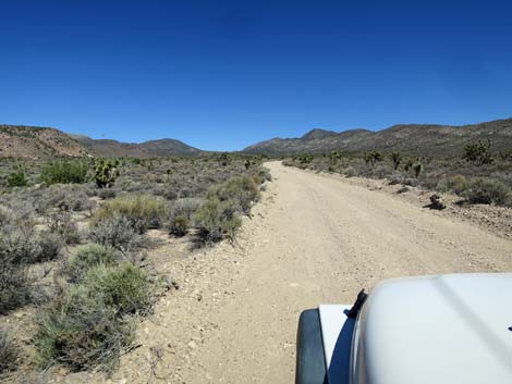
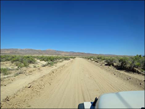 Badger Valley Rd heading across the desert valley flats (view NW) |
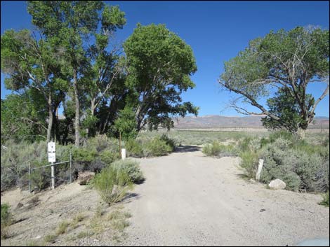
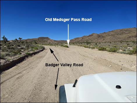
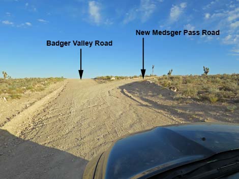
The Road From Highway 93 (Table 1, Site 0871), Badger Valley Road crosses a short bridge over the White River, passes under several tall cottonwood trees, and heads west (more-or-less straight) across the valley bottom. One side road left and two side roads right are wildlife refuge service roads. Now running northwest, the road heads for the hills across the valley and eventually curves left to head southwest and up a wash. At about 0.6 miles out, the road crosses a cattle guard at a fence that marks the boundary of Pahranagat National Wildlife Refuge. Beyond the fence, all of the lands along the roads are public and managed by the BLM. Badger Valley Road runs southwest up into canyons of the East Pahranagat Range with nice Mojave Desert Scrub vegetation. At about 5.1 miles out, the road bends left to head more directly south. At the curve, Old Medsger Pass Road forks right. This road is graded to a corral, but for normal vehicles, it no longer crosses the mountains. |
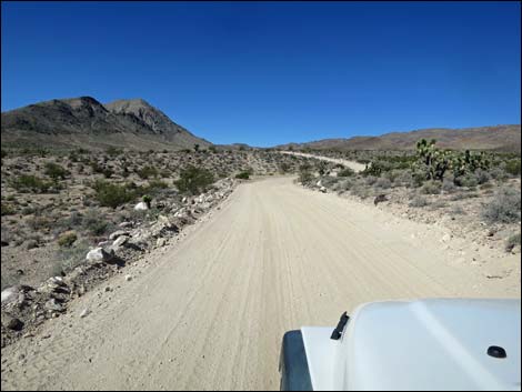
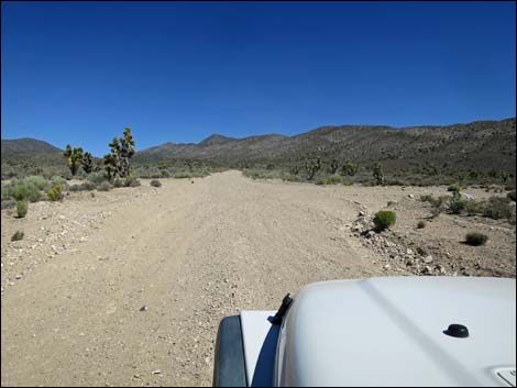
 Badger Valley Rd approaching the hills (view NW) |
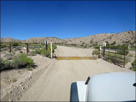
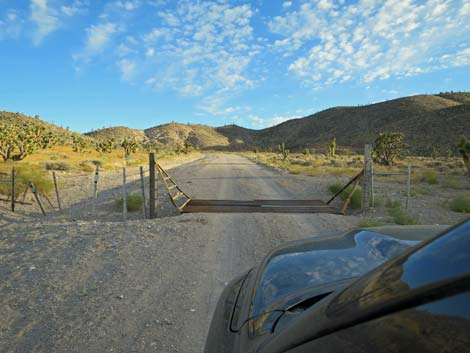
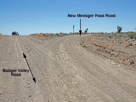
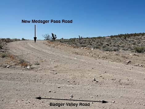
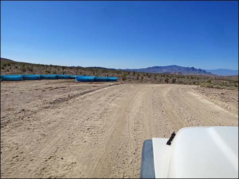
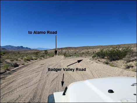
At 5.7 miles out, the road arrives at a cattle guard (Site 1141). Beyond the cattle guard, the road continues generally south. At about 6.8 miles out, the road arrives at a broad saddle on the crest of the East Pahranagat Range. This area sometimes is used for watering cattle (blue watering troughs), so watch for livestock on the road. At this point (Site 0893), New Medsger Pass Road branches to the right; this is a good shortcut to the Tikaboo Peak area. Beyond the saddle, the road descends canyons on the other side of the East Pahranagat Range still heading south. In the distance, drivers can see the Sheep Range (Desert National Wildlife Refuge) in the distance and perhaps glimpse down into Desert Lake Valley where sand dunes and the dry lake playa beckon the traveler. At about 8.3 miles out, the road forks (Site 0872). Here, the road left (Alamo Road Connector) heads south to connect with Alamo Road and the wonders of Desert NWR, while the main road curves right and heads northwest up another canyon following Badger Valley Wash. |
 Badger Valley Rd at the boundary of Pahranagat NWR (view W) |
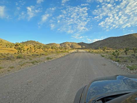
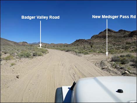
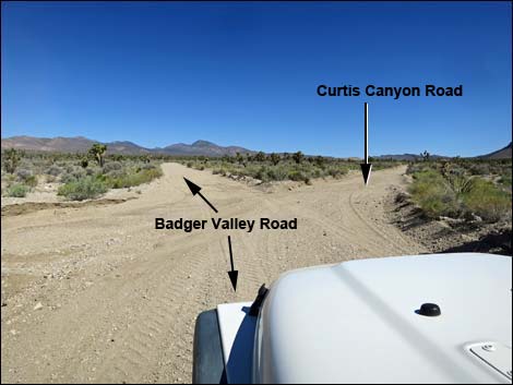
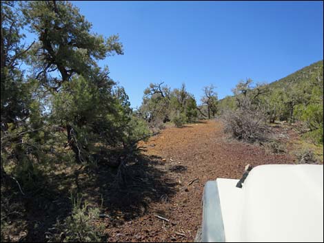
At about 11.6 miles out, the road passes a large, abandoned water tank on the hillside to the right. Then, just ahead at about 11.7 miles out, the road passes the east end of New Medsger Pass Road (Site 1913), on the right. Again, New Medsger Pass Road is a good shortcut to this point. At about 12 miles out, the road runs through a gap between the East Pahranagat Range on the right (east) and Pahranagat Range on the left (west). The gap eventually opens into Badger Valley. Heading northwest into Badger Valley, at 13.6 miles out, Badger Valley Road forks (Site 1142). Here, the left (straight) fork is Badger Valley Road, while the right fork heads due north as Curtis Canyon Road. This road provides access to the Shooting Gallery Unit of Basin and Range National Monument before looping east into the town of Alamo. Continuing northwest, Badger Valley Road heads straight for miles as if to crash into Badger Mountain, but before that, at about 18.3 miles out, the road hits what appears to be a 4-way intersection (Site 1143), but which only goes right. From aerial photos, this road heads east and eventually connects with Curtis Canyon Road. |
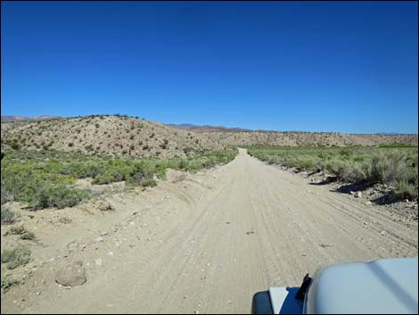
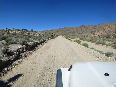
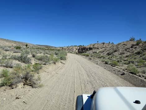
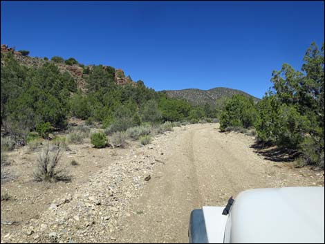
 Badger Valley Rd heading towards the mountains (view SW) |
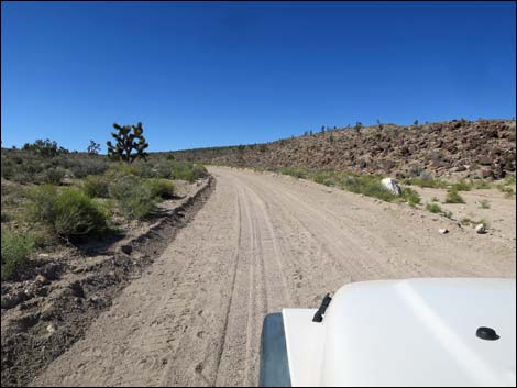
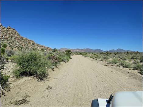
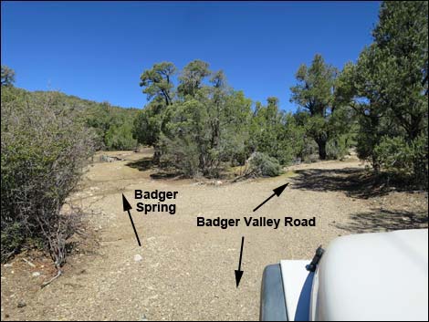
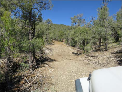
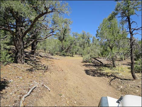
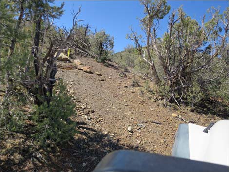
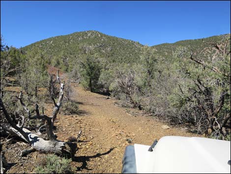
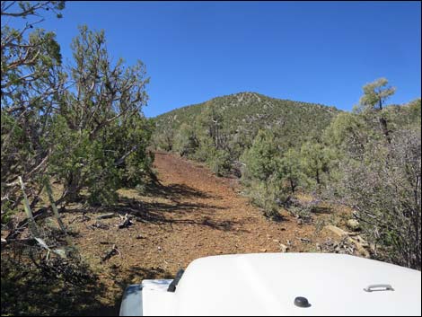
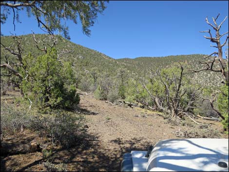
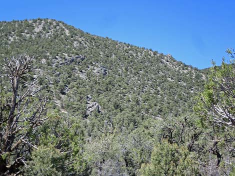
Still heading northwest, Badger Valley Road finally hits the flank of Badger Mountain (18.6 miles out) and bends a bit more to the west following along the base of the mountain. As the road climbs into the canyon ahead entering the Pinyon-Juniper Woodland Zone, the road crosses the wash several times and is subject to washouts, but normally it remains passable. Now winding up the narrowing canyon, the road narrows but remains graded. At about 21.8 miles out, a short spur road left (Site 1144) leads to Badger Spring, which is now dry, but some people camp here because there are better places for large tents. |
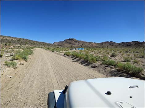
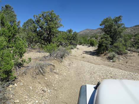
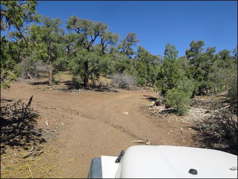
 Badger Valley Rd stays left at fork (view SW) |
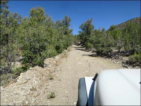
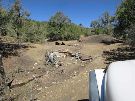
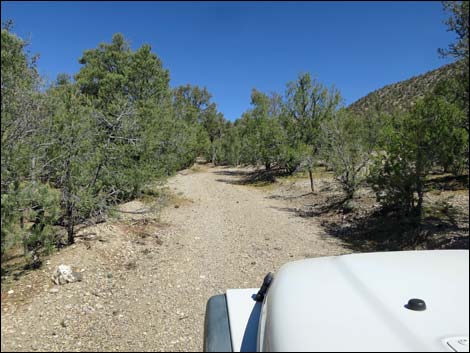
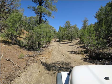
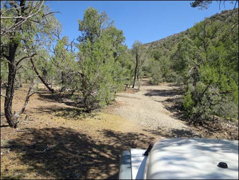
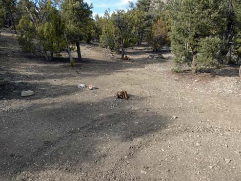
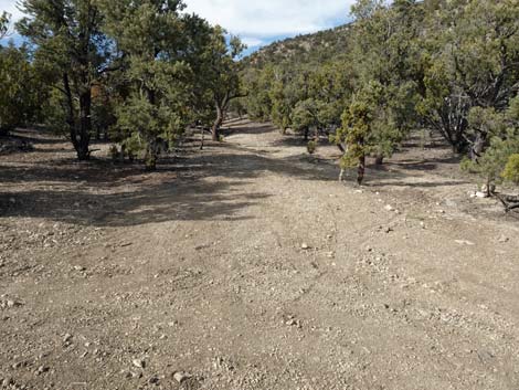
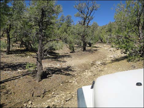
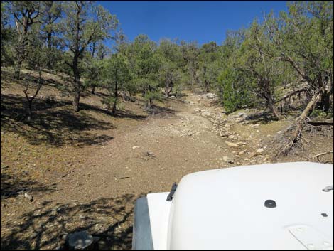
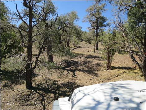
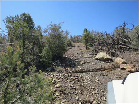
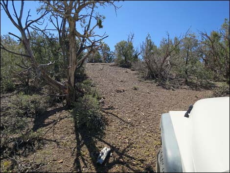
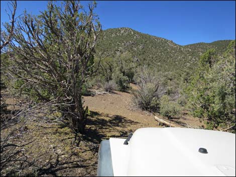
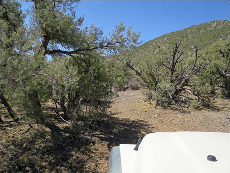
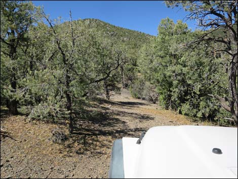
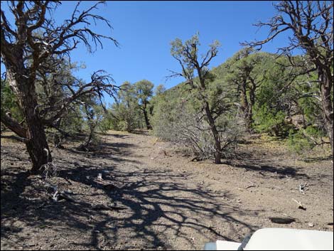
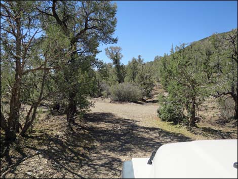
Beyond Badger Spring, the nature of Badger Valley Road changes considerably. Recent grading ends at the spring, and the road beyond degenerates to little more than a 2-track winding among the trees for the last 0.5 miles. I bent the antenna on my truck while pushing through the trees (removed for the return trip). There are campsites at 0.25 and 0.40 miles past the spring, and almost everyone stops at the second campsite. The final 0.1 miles is quite washed out and rocky, but the road continues past the spring to the main Tikaboo Peak Trailhead (Site 0873), a total of 0.5 miles past the spring and 22.3 miles from the highway. For the drivers who get to the actual trailhead, a spur road south continues for 0.2 miles up the Tikaboo Trail, but few drivers would want to do that (pinyon pine pin-striping is worse than catclaw pin-striping), and the end of the spur road provides no view. |
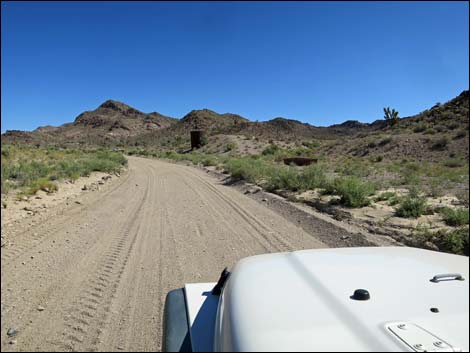
 Badger Valley Road (view SW) |
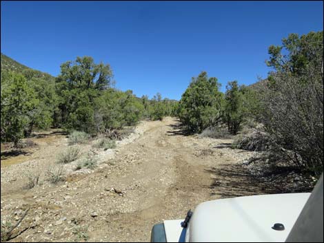
 Badger Valley Rd winding into the mountains (view SW) |
 Badger Valley Rd passing a watering trough (view SW) |
 Badger Valley Rd heading into the mountains (view SW) |
 Badger Valley Rd at Old Medsger Pass Road; not passable (view SW) |
 Badger Valley Rd approaching a cattle guard (view S) |
 Badger Valley Rd at a cattle guard (view S) |
 Badger Valley Rd climbing into the mountains (view S) |
 Badger Valley Road approaching New Medsger Pass Road (view S) |
 Badger Valley Road at New Medsger Pass Road (view S) |
 Badger Valley Road passing New Medsger Pass Road (view SW) |
 Badger Valley Road at saddle atop East Pahranagat Range (view S) |
 Descending past the saddle (view S) |
 Sheep Range in the middle and far distance (view S) |
 Badger Valley Road at Alamo Road connector (view S) |
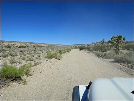 Badger Valley Road starting up Badger Valley Wash (view NW) |
 |
 |
 Approaching more new blue watering troughs (view NW) |
 Approaching old metal water tank (view NW) |
 Badger Valley Road at New Medsger Pass Rd (view NW) |
 Last of narrows between East Pahranagat and Pahranagat ranges |
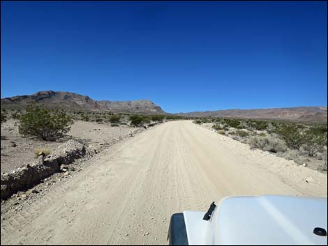
 Miles of straight road heading towards Badger Mountain (view NW) |
 Badger Valley Road at Curtis Canyon Road (view NW) |
 |
 |
 Badger Valley Road at side road to Curtis Canyon Road (view NW) |
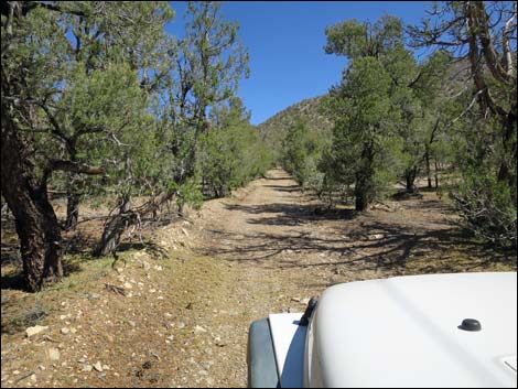
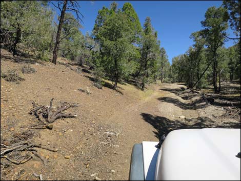
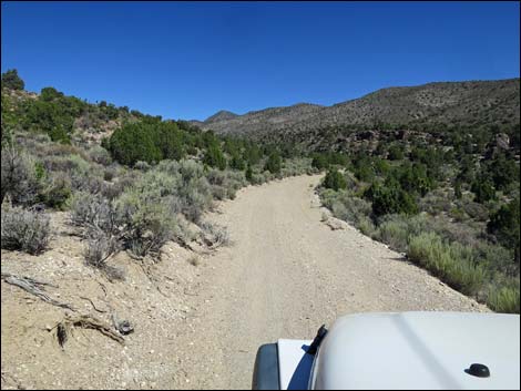 Entering Badger Canyon; road narrows (view NW) |
 Climbing into the pinyon-juniper zone (view NW) |
 Narrow road (view NW) |
 Road crosses the wash (view NW) |
 Narrow road (view NW) |
 The wash runs down the road (view NW) The wash runs down the road (view NW) |
 Narrow road (view NW) |
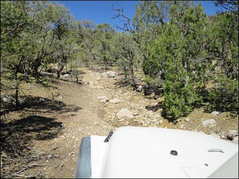
 Badger Valley Road at Badger Spring Spur Road (view NW) |
 Detour: Remains of watering trough at Badger Spring (view NW) |
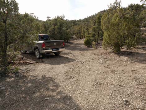
 Continuing on Badger Valley Road (view NW) |
 The grader used to come up here (view NW) |
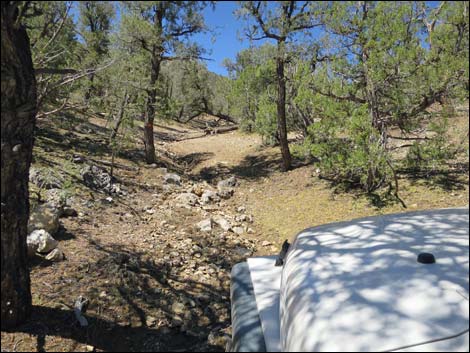
 Crossing the wash again (view NW) |
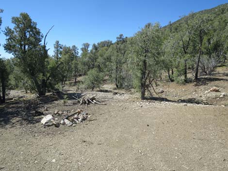
 Passing a campsite on the left (view NW) |
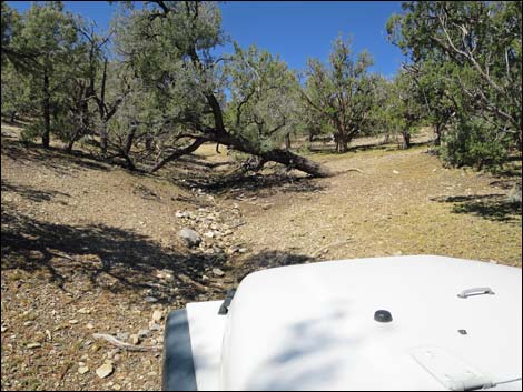
 Now as a two-track, the road runs up the wash (view NW) |
 Two-track road runs up the wash (view NW) |
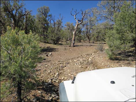
 Climbing somewhat steeply out of the wash (view NW) |
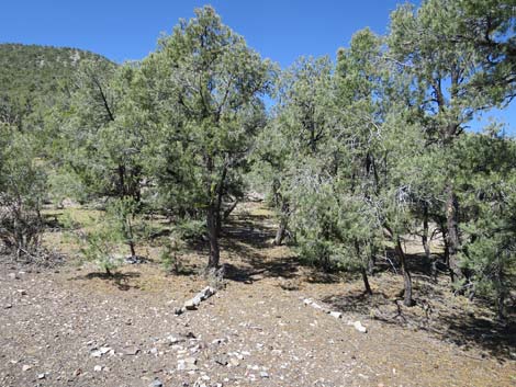
 Two-track road through the trees (view NW) |
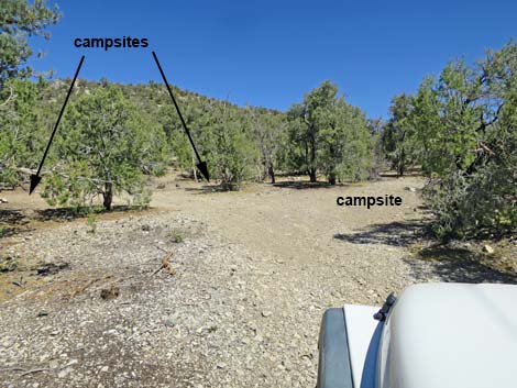 Approaching the last campsite (view NW) |
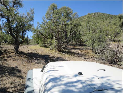
 Entering the last campsite and end of the "good" road (view NW) |
 Approaching last campsite on the left (view W) |
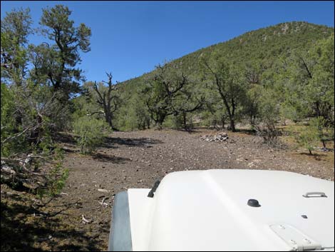
 Last campsite on the left (view SW) |
 Last campsite on the left (view NE) |
 Last campsite on the left without a camper (view SW) |
 Last campsite on the right (view N) |
 The road seems to continue west (view W) |
 Such as it is, the "road" continues up the wash (view W) |
 Approaching rocky washouts (view W) Approaching rocky washouts (view W) |
 |
 |
 |
 |
 Approaching the end of the road (view W) |
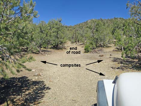
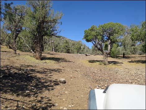
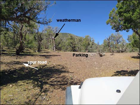 Arriving at Tikaboo Peak Trailhead Parking (view W) |
 Tikaboo Peak Trailhead Parking (view W) |
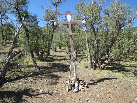 Trailhead weatherman? (view SW) |
Tikaboo Peak Road Spur (aka: Start of the Tikaboo Trail)
 Departing the regular trailhead (view S) |
 The road is every bit as steep and narrow as it looks (view S) |
 |
 |
 |
 |
 |
 |
 |
 |
 |
 |
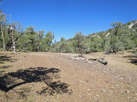
 Approaching the end of the spur road (view S) |
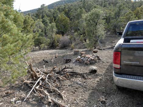
 End of the spur road with campfire ring (view S) |
 Tikaboo Trail disappears into the trees (view SW) |
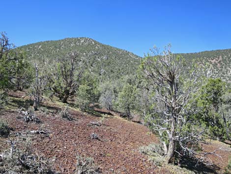 The route to Tikaboo Peak (view SW) |
 The route to Tikaboo Peak crosses this hillside (view SW) |
 Starting back down towards main trailhead parking area (view N) |
Table 1. Highway Coordinates and Distances based on GPS Data (NAD27). Download Highway GPS Waypoints (gpx) file.
| Wpt. | Location | Latitude (N) | Longitude (W) | Elevation (ft) | Point-to-Point Distance (mi) | Cumulative Distance (mi) |
|---|---|---|---|---|---|---|
| 0871 | Highway 93 at Badger Valley Road | 37.28039 | 115.11845 | 3,326 | 0.00 | 00.00 |
| 1141 | Badger Valley Road at Cattle Guard | 37.24241 | 115.19829 | 4,384 | 5.73 | 05.73 |
| 0893 | Badger Valley Road at Saddle and New Medsger Pass Road | 37.22749 | 115.19545 | 4,607 | 1.12 | 06.85 |
| 0872 | Badger Valley Road at Alamo Road Connector | 37.20707 | 115.19433 | 4,345 | 1.44 | 08.29 |
| 1913 | Badger Valley Road at New Medsger Pass Road (west end) | 37.24250 | 115.22098 | 4,718 | 3.44 | 11.73 |
| 1142 | Badger Valley Road at Curtis Canyon Road | 37.26194 | 115.24308 | 4,898 | 1.87 | 13.60 |
| 1143 | Badger Valley Road at Side Road-2 | 37.31514 | 115.29624 | 5,822 | 4.76 | 18.36 |
| 1144 | Badger Valley Road at Badger Spring Spur | 37.34589 | 115.34067 | 6,722 | 3.43 | 21.79 |
| 0873 | Tikaboo Peak Trailhead Parking | 37.34973 | 115.34575 | 6,915 | 0.49 | 22.28 |
Happy Hiking! All distances, elevations, and other facts are approximate.
![]() ; Last updated 240324
; Last updated 240324
| Backroads | Hiking Around Las Vegas | Glossary | Copyright, Conditions, Disclaimer | Home |