Basin and Range National Monument, Backroads Around Las Vegas
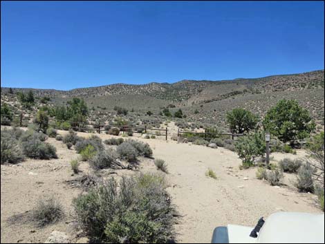
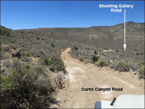 Curtis Canyon Road approaching Shooting Gallery Road (view SW) |
Overview Shooting Gallery Road is a 0.3-mile bit of rough, ungraded road that runs from Curtis Canyon Road to the Shooting Gallery Trailhead parking area. Shooting Gallery Road seems to have been abandoned and requires a 4WD vehicle. This road is washed out and most visitors should plan to park along Curtis Canyon Road and walk from there. Shooting Gallery Road provides access to the Shooting Gallery archeological area, an area with an amazing collection of petroglyphs and other evidence of human habitation and ingenuity. Link to map. |
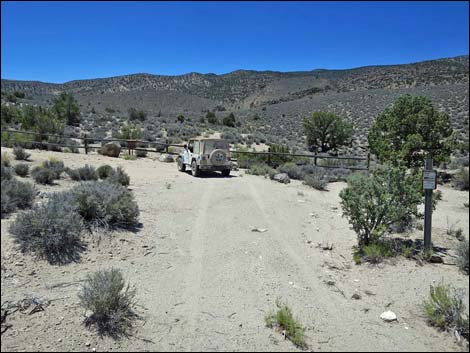
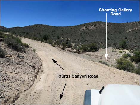 Curtis Canyon Road at Shooting Gallery Road (view S) |
Watch Out Other than the standard warnings about driving in the desert, ...this road is pretty safe, but it is quite rough and requires a 4WD vehicle. two sections of Curtis Canyon Road north of Shooting Gallery Road are quite steep and may require 4WD just to maintain traction. Stay off if the road is muddy. This area is remote. Be sure that your vehicle is in good working condition, carry plenty of water (radiator and drinking), and pack a lunch. Always drive carefully as there are road hazards such as errant boulders and sometimes dead Joshua trees on the roadway. While out, please respect the land and the other people out there, and try to Leave No Trace of your passage. This road goes into remote areas, so be sure to bring the 10 Essentials. Cell phones should work where Alamo can be seen, but not in the Shooting Gallery, proper. |
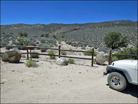
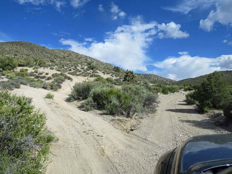
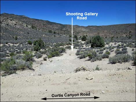 First side of triangular intersection onto Shooting Gallery Road (view W from Curtis Canyon Road) |
Getting to the Road Shooting Gallery Road is located in the East Pahranagat Range on the west side of the Pahranagat Valley (west of Alamo town) about 110 miles northeast of Las Vegas. From town, drive north on Interstate 15 to US Highway 93. Exit onto Highway 93 and drive north to Alamo. From the gas station and market in Alamo, continue north for 1.7 miles to South Richardville Road. Turn left and follow South Richardville Road as it bends right to head north to Canyon Road. Turn left onto Canyon Road, which becomes dirt and continues as Curtis Canyon Road. Drive west then south on Curtis Canyon Road for 8.6 miles to Shooting Gallery Road, on the right. Alternatively, Shooting Gallery Road is accessible from the south via Badger Valley Road and Curtis Canyon Road (northbound). This is longer than accessing Shooting Gallery Road from the north. |
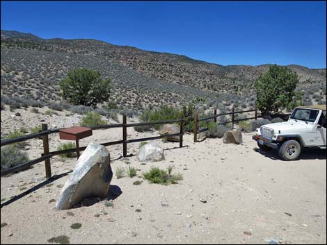
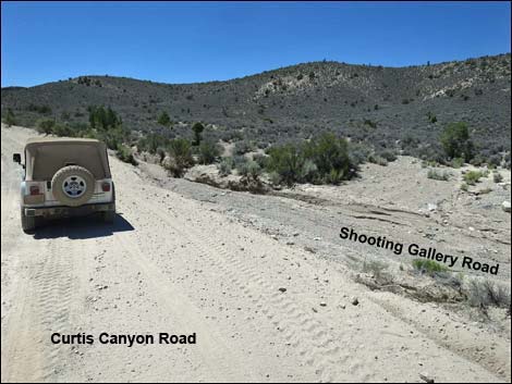 Second side of triangular intersection onto Shooting Gallery Road (view S from Curtis Canyon Road) |
The Road From Curtis Canyon Road (Site 1124), Shooting Gallery Road drops steeply into the bottom of the wash. If the edge of the wash has washed out since the last grading, be sure you can get back up it before driving farther. In the wash, the road runs north about 0.1 miles before bending left onto what should be better road. Winding across the hillside, the road runs another 0.2 miles (0.3 total) to the trailhead (Site 0929). The trailhead is enclosed in a post-and-rail fence with a trailhead sign-in register at the end. The trail starts out heading to the southwest before bending back to the northwest. |
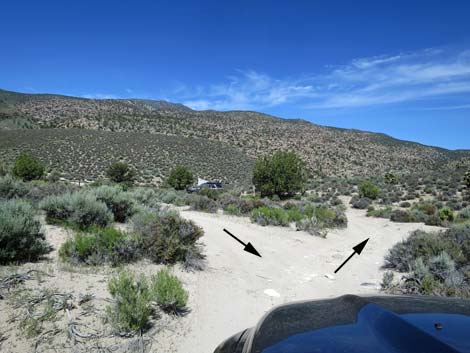
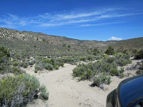 Point of the triangular intersection (view NW) |
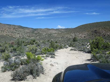
 Shooting Gallery Road runs down wash (view NW) |
 |
 |
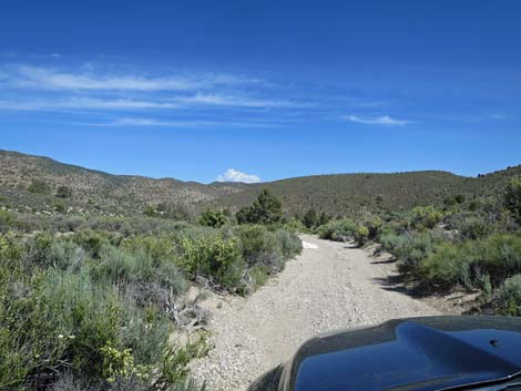
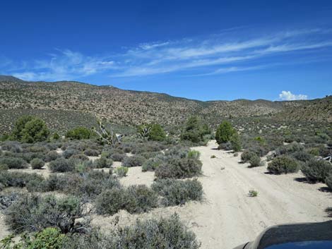
 Out of the wash, somewhat better road (view NW) |
 This part is worse than it looks (view NW) |
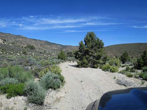
 Approaching split for the turn-around loop (view NW) |
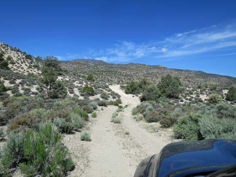
 Road forks for the turn-around loop (view NW) |
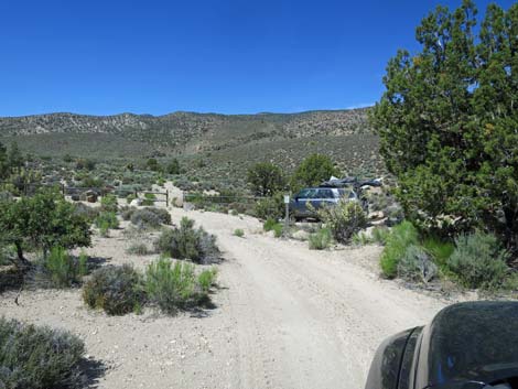 Truck at the only campsite (view W) |
 Staying right into the trailhead parking area (view W) |
 Shooting Gallery trailhead parking (view W) |
 Shooting Gallery trailhead parking (view W) |
 Shooting Gallery trailhead parking (view N) |
 On the way out: point of the triangular intersection (view S) |
Table 1. Highway Coordinates based on GPS data (NAD27; UTM Zone 11S). Download Highway GPS Waypoints (*.gpx) file.
| Site | Location | UTM Easting | UTM Northing | Latitude (N) | Longitude (W) | Elevation (ft) |
|---|---|---|---|---|---|---|
| 0929 | Shooting Gallery Parking | 652830 | 4135738 | 37.35762 | 115.27435 | 5,228 |
| 1124 | Curtis Cyn Road at Shoot Gallery Road | 653112 | 4135485 | 37.35529 | 115.27121 | 5,297 |
Happy Hiking! All distances, elevations, and other facts are approximate.
![]() ; Last updated 240324
; Last updated 240324
| Basin and Range | Backroads | Rock Art | Glossary | Copyright, Conditions, Disclaimer | Home |