Visit the Friends of Basin and Range FaceBook page for more information about the area or see a narrated YouTube video about the area
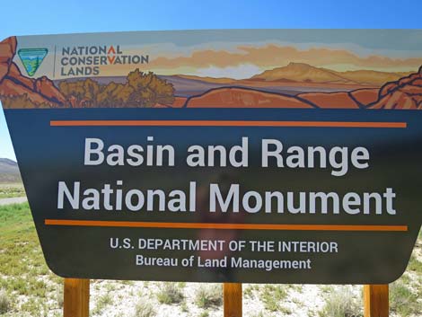 Basin and Range National Monument sign |
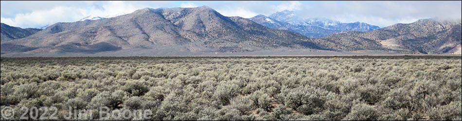
Overview Basin and Range National Monument is a vast area of nearly undisturbed federal land in Lincoln and Nye counties that, as of July 10, 2015, has been protected for its grand scenery, ecological value, many cultural and historical sites, and an enormous land-art project called City. The National Monument also helps preserve ranching traditions in the heart of Nevada and provides needed habitat for Pronghorn, Pygmy Rabbits, and Dark Kangaroo Mice, plus historical habitat for Greater Sage-Grouse. The National Monument is vast -- about 708,000 acres -- in two units. The Basin Unit includes the majority of the acreage (about 703,000 acres), while the Shooting Gallery Unit, a smaller unit (about 5,100 acres) lies separated about 15 miles to the south. Link to Official Map (PDF) or Map of Basin and Range. Visit Basin and Range. |
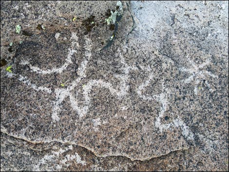
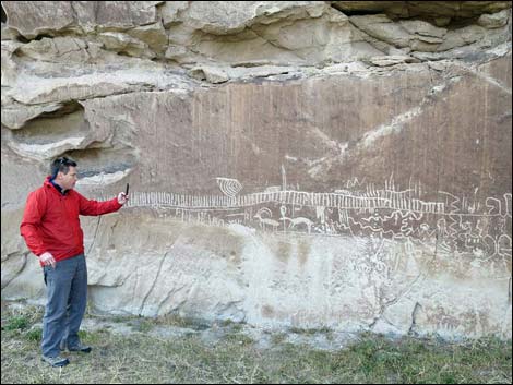
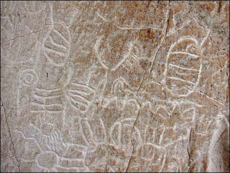
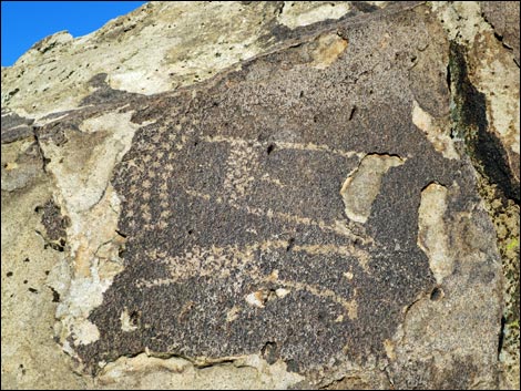
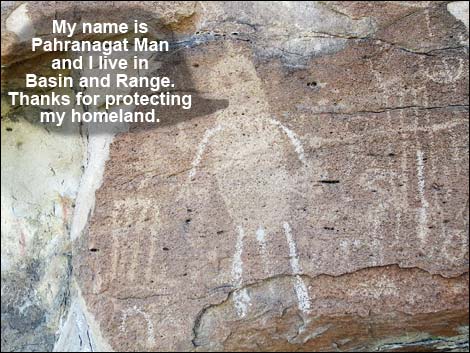 Pahranagat Man in the Mt. Irish Archeological District Pahranagat Man in the Mt. Irish Archeological District |
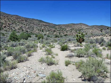
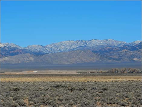
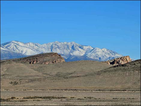
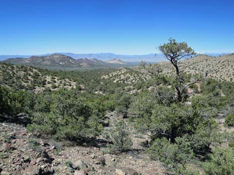
The Basin Unit stretches some 53 miles north-south and 40 miles east-west. The area includes three entire mountain ranges with peaks reaching almost 9,000 feet and two major inter-mountain valleys at about 4,900 feet. The lowest elevations are about 4,200 ft. The area includes one wilderness area and shares a border with two other wilderness areas and U.S. Forest Service lands. Driving from south to north requires traversing about 90 miles of moderate to good dirt roads. The Shooting Gallery Unit, only about 3 miles in diameter, includes the summit of Badger Mountain at nearly 8,000 feet, the Shooting Gallery Archeological area, and lowest elevations of about 4,700 feet. At present, there are no developed recreational opportunities within the National Monument, but visitors are welcome to visit petroglyph sites, camp, hike, ride horses, tour the dirt roads on bikes and off-road vehicles, watch birds, hunt in season, and just spend time in quiet solitude. Basin and Range National Monument offers grand vistas across enormous unspoiled basins to snow-capped mountain ranges, cultural history spanning the last 9,000 years, and remarkable geologic formations. Basin and Range also enables Nevada ranchers to stay on the land as they have for generations, keeps open miles of backroads, and conserves the unspoiled view from Michael Heizer's City. |
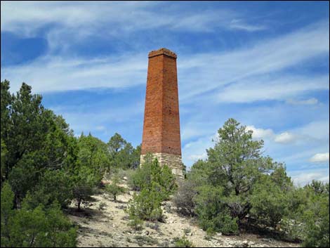 Chimney at the Crescent Silver Smelter site |
In the Western United States, California, Arizona, and Utah have large federal conservation lands that attract tourists from around the world. In Las Vegas, global visitors use our city as a hub to visit Death Valley, Grand Canyon, and Zion -- all of which are in other states. We will keep these visitors in Nevada, and keep their tourist dollars here, by developing park areas of similar quality. With Red Rock Canyon, the Spring Mountains, Lake Mead, Valley of Fire, Great Basin National Park, and Basin and Range National Monument as our base, and by adding Gold Butte, we can create our own "grand circle" of parks in Nevada. By keeping tourists in our state, or even just connecting our parks with those in other states, Nevada can develop an energetic outdoor tourist economy on par with our neighbors. Basin and Range National Monument always has been federal land, and enormous benefit has been gained in Nevada by drawing a line on a map and changing the name of the enclosed area. Now, by constructing a couple of campgrounds, this should be a no-brainer for rural economic development. City already has pumped more than $20 million into the local economy, and tourists will come from around the world to experience Michael Heizer's sculpture set in the grander of Garden Valley. |
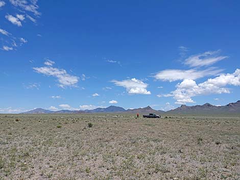
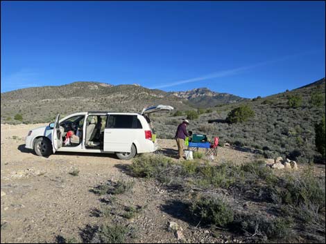 Lots of primitive camping |
Administration Basin and Range National Monument is administered by the BLM out of the Ely District Office. Located in Garden Valley, the Heizer ranch is private property and not currently open to the public, although this is expected to change when City is unveiled to the public. Activities For the public, the most common activities are backroad driving, hunting, primitive camping, and visiting well known petroglyph sites at the Shooting Gallery, at Mt. Irish, and in the White River Narrows. Infrequently, hikers come to explore caves and climb the peaks, and rock climbers workout on the cliffs. |
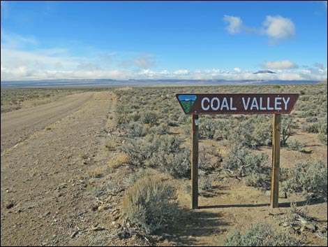
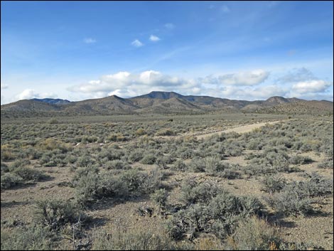
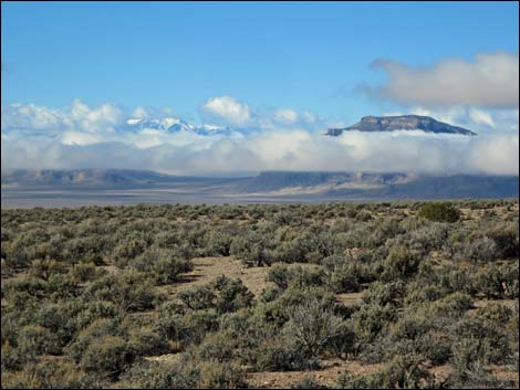 Coal Valley and storm clouds over the Quinn Canyon Range |
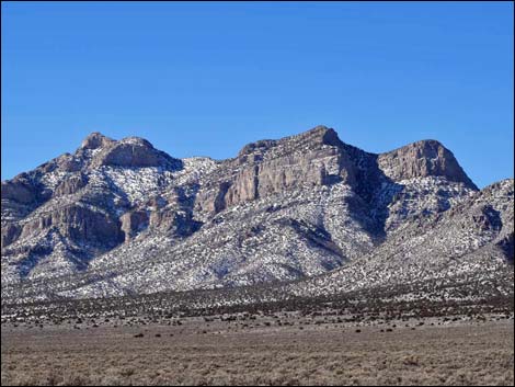
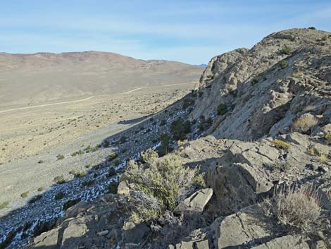
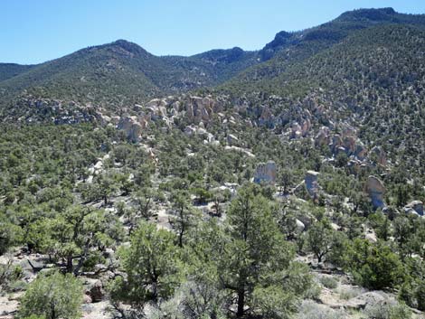
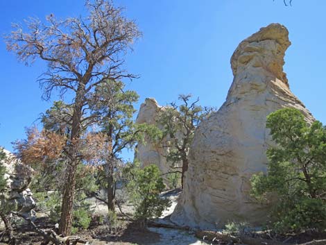
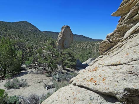
Geology The geology of Basin and Range is complex. The general landform is "basin and range," typical of the Great Basin where north-south aligned limestone mountain ranges are separated by basins (valleys), with thousands of feet in elevation between low-points and high-points. The landscape in the National Monument was complicated by an enormous asteroid impact during the Devonian (367 million years ago) when this area was still under the sea. Volcanic activity in the recent geologic past (40-12 million years ago) left a couple of volcanic cores and spread ash-flow tuff (a type of light-colored volcanic rock) across the landscape. Native people made use of the pale-ash-flow-tuff canvas for their artwork. Over the millennia, erosion has cut canyons into the mountains, leaving wild boulder piles in places and filling the basins with sediment. |
 Mojave Desert: Joshua trees at the Shooting Gallery Unit |
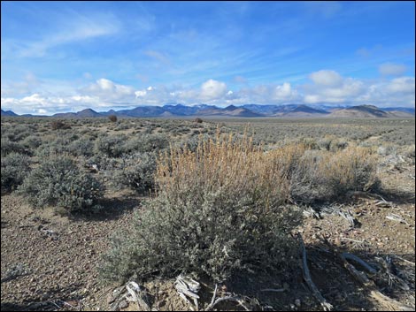
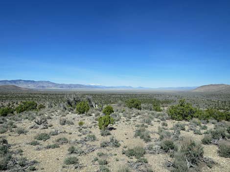
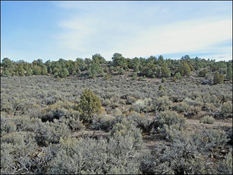
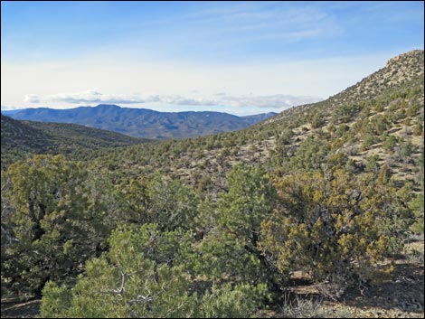
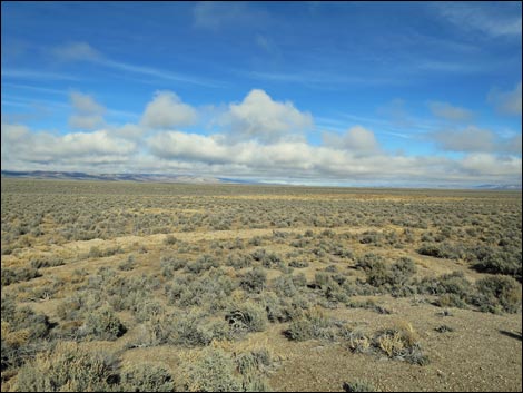
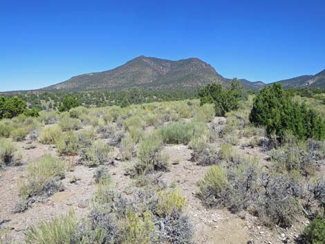
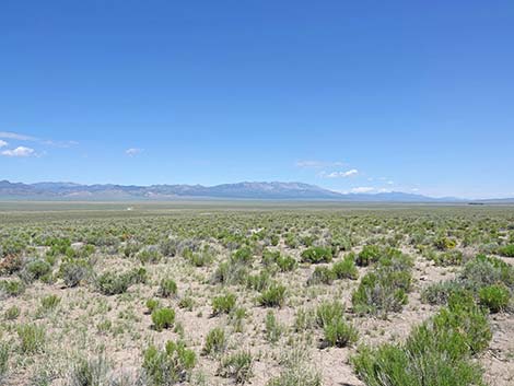
Vegetation The National Monument, while mostly in the Great Basin Desert, includes at the southern edge of the Basin Unit, the transition zone between the Mojave Desert to the south and the Great Basin Desert to the north. The Shooting Gallery Unit, isolated to the south, lies entirely within the Mojave Desert, evidenced by the presence of Joshua Trees and other southern species. The Basin Unit extends from the edge of the Mojave Desert into the Great Basin Desert, evidenced in the north by miles and miles of sagebrush in the basins. Most vegetation in Basin and Range National Monument is typical of the Great Basin Desert. The vast basins are dominated by low-growing Black Sagebrush. At the lowest points, mud flats are covered with low growing Shadscale Saltbush, but the majority of the basin landscape is covered with sagebrush. Annual forbs flower in the spring when winter moisture is sufficient, and some shrub species flower during late summer if the monsoon rain come. |
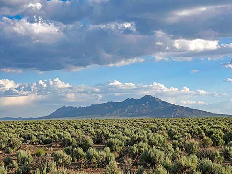
 Great Basin Desert: miles and miles of sagebrush in the basins |
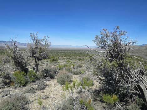
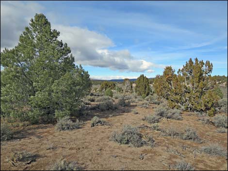
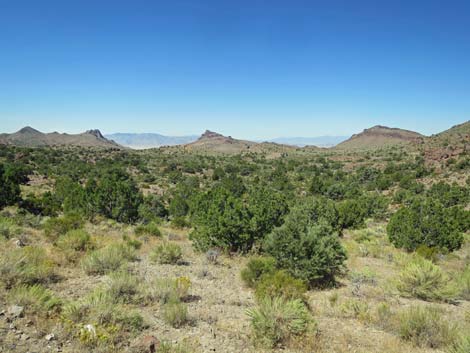
As slopes rise from the basins into the foothills, Big Sagebrush takes over to dominate the landscape and Single-leaf Pinyon Pine and Utah Juniper become common. The height of shrubs increases as the soils contain less salt and more moisture. In these habitats, almost the entire population of White River Catseye (Cryptantha welshii) grow in northern Garden Valley. Mountain slopes are well vegetated with Big Sagebrush, but many other species of shrub coexist (e.g., Nevada Ephedra, Utah Serviceberry, and Stansbury Cliffrose) in a rich mix of shrub and herbaceous species. Higher in the mountains, conifer forests with species such as Ponderosa Pine and Bristlecone Pine are mixed with Limber Pine, tall Mountain Mahogany, and a lush understory of brushy species and bunch grasses. |
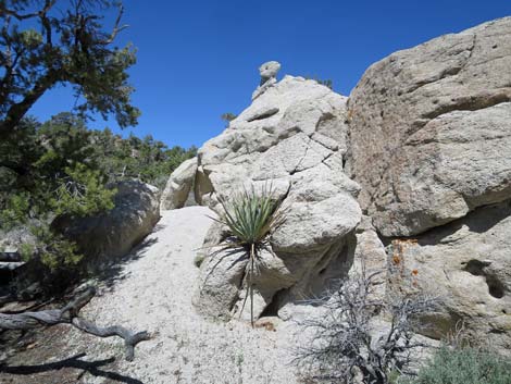
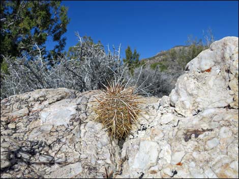 Engelmann's Hedgehog Cactus at Paiute Rock |
Cactus Species Desert Spinystar (Escobaria vivipara var. deserti) Conifer Species Utah Juniper (Juniperus osteosperma) |
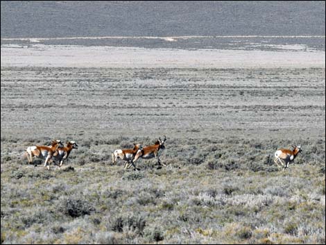 Pronghorn gallop across a sea of sagebrush |
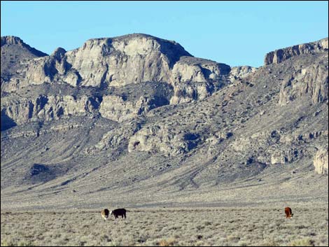
Wildlife The lower-elevation basins support Pronghorn and mule deer, and bighorn sheep traverse the basins when moving between mountain ranges. Other large species, such as coyote, bobcat, and badger are present, but not often seen. Mountain Cottontails hop about the shrublands, and Pygmy Rabbits inhabit the northern basins. Many species of small mammals, reptiles, and birds inhabit the area. Most of the "snake holes" were made by harmless kangaroo rats. There are a few snakes, including Great Basin Rattlesnake, but they are rarely seen. Please respect the snakes; they lived here first. The common lizards are side-blotched lizards and sagebrush lizards. There are many species of birds. The most conspicuous species include Horned Larks, White-crowned Sparrows, and Red-tailed Hawks, but birds ranging from Golden Eagles to hummingbirds can be found in the area. |
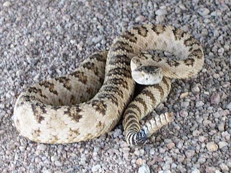 Great Basin Rattlesnake on Mail Summit Road |
Reptiles and Amphibians Expected Ringneck Snake (Diadophis punctatus) Common Zebra-tailed Lizard (Callisaurus draconoides) Western Toad (Anaxyrus boreas) Baja California Treefrog (Pseudacris hypochondriaca) |
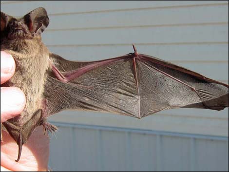 Brazilian Free-tailed Bat (Tadarida brasiliensis) 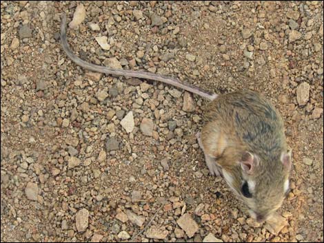 Chisel-toothed Kangaroo Rat (Dipodomys microps) 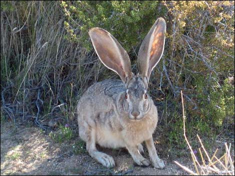 Black-tailed Jackrabbit (Lepus californicus) |
Mammals Expected Bats Dark-nosed Small-footed Myotis (Myotis melanorhinus) Carnivores Ermine (Mustela erminea) Rodents Piute Ground Squirrel (Urocitellus mollis) Rabbits White-tailed Jackrabbit (Lepus townsendii) Even-toed Ungulates Elk (Cervus elaphus) |
 Michael Heizer's City and ranch from about 2 miles away (view NW) |
City Michael Heizer's City is a piece of Earth Art (aka Land Art) that is enormous, even on the scale of Earth Art, and is one of the largest sculptures ever created. City synthesizes the history of North American architecture, drawing inspiration from ancient monuments (e.g., Mississippian mounds, Mesoamerican ball courts, Pre-Columbian sites), minimalism, industrial technology, and modern structures. Heizer also cites an interest in the ceremonial squares and associated civic monuments of cities (Wikipedia 3/2015). Created mostly from gravels harvested from the desert valley and concrete, City consists of mounds, berms, terraces, and ramps, plus a few structures that most of us would recognize as based on traditional monuments. Much of City is constructed below ground level (or at least below berm level), which for an artist who works with "negative space," is no surprise. This, however, leaves little of City visible from the outside, but when inside, the surrounding mountains make a stark contrast with the artwork and frame it nicely. |
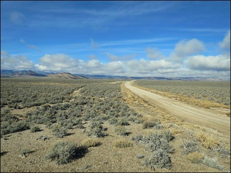
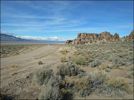
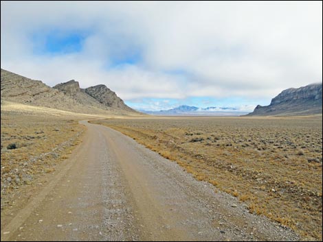
 Dirt roads are maintained, but distances are vast (view W) |
Getting to Basin and Range National Monument Link to map or google map. Basin and Range National Monument is located some 85-150 miles north of Las Vegas and straddles the border of Lincoln and Nye Counties. From Las Vegas, drive north on Interstate-15 21 miles to Highway 93. Turn left onto Great Basin Highway (Hwy 93) and top off the gas tank if necessary. Drive north past the towns of Alamo (95 miles from Las Vegas) and Ash Springs (102 miles) to the intersection of Highway 93 and Highway 318 (107 miles). Gasoline is available in Alamo, Ash Springs, and Lund, but not Rachael. For people looking for lodging in this area, consider the Alamo Inn. Currently [summer 2021], food is available only in the gas stations. Turn left onto Highway 318 and drive west for 0.7 miles to Crystal Spring, which is marked by a stand of tall cottonwood trees. The road forks here; stay right on Highway 318. The other fork, Highway 375 (the Extraterrestrial Highway), continues west towards the town of Rachael and provides access to southern and western portions of the National Monument. |
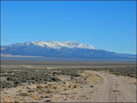
 Mail Summit Road, entering Coal Valley (view NNW) |
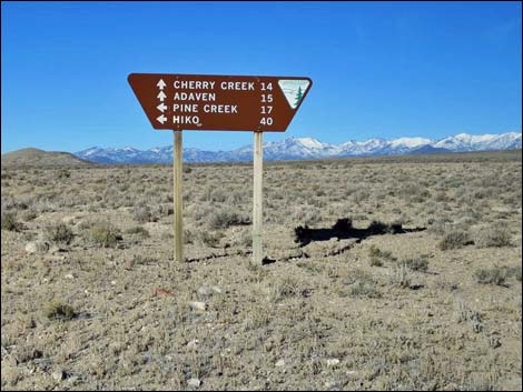
Driving north on Highway 318, in 2.5 miles the highway passes an unmarked dirt road (Logan Pass Road) with a barbed-wire gate on the left (west) side of the road. This road leads to the Mt. Irish Archeological District, the southeastern-most main access point into Basin and Range. Continuing north on Highway 318, at 8.6 miles north of the 318-375 intersection, Mail Summit Road, a graded dirt road, turns left. The turnoff is marked only by a stop sign. Mail Summit Road provides access to the southern ends of Coal and Garden valleys, including Leviathan Cave. Continuing north on Highway 318, at 16.7 miles north of the 318-375 intersection, Seaman Wash Road branches off to the left. This is a good road that provides access to Coal Valley and is the best route to City when arriving from the south. The turnoff is marked by a stop sign with a flashing solar light. Continuing north on Highway 318, at 22.8 miles north of the 318-375 intersection, Old White River Narrows Road branches off to the right. The turn is marked with a stop sign. The turn-off apron is paved, and there is a cattle guard where the road goes through the highway fence. This road provides access to White River Narrows Archeological District. |
 Garden Valley (view N) |
Continuing north on Highway 318, at 48.5 miles north of the 318-375 intersection, Timber Mountain Pass Road branches off to the left. This road is marked only with a 2-post directional sign (facing away from the highway) and a paved spur out to a cattle guard. This road provides access to central portions of Basin and Range, including Coal and Garden valleys, and this is the shortest (but not the smoothest) dirt road to City. Continuing north on Highway 318, at 79.6 miles north of the 318-375 intersection, Adaven Road turns left at Sunnyside. This road is marked by the second "Kirch Wildlife Area" sign and a stop sigh. This road runs through Kirch Wildlife Management Area and provides access to northern-most portions of Basin and Range. |
 |
Back at the Highway 318-375 intersection, staying left onto Highway 375 takes drivers west on the Extraterrestrial Highway towards Rachael. At about 5.8 and miles out, the graded-dirt Reed Springs Road to the right leads towards Mt. Irish Wilderness Area and the south-most end of Basin and Range. There are no signs here. Continuing west on Highway 375, at 21.4 miles west of the 318-375 intersection, the graded-dirt Silver Tank Road turns right and heads north towards southwestern portions of Basin and Range. There are no signs here, but this becomes Wild Horse Valley Road. Continuing west on Highway 375, at 37.2 miles west of the 318-375 intersection (almost to Rachael), Shadow Road (a wide, 2-lane dirt road marked with a stop sign) turns right and heads north towards south-western portions of Basin and Range. The main road here runs north along the Worthington Range, then turns east into Garden Valley. |
 Timber Pass Road, entering Coal Valley (view W) |
Lodging, Dining, Fuel, and other Facilities Lodging is available in Alamo and Rachael; Alamo Inn is my choice. Food and fuel are available in Alamo, Ash Springs, Lund, and Rachael. Groceries are available in Alamo. Hours There are no "hours," the area is open 24/7. Entrance Fees None. Public lands are open to the public. Watch Out Other than the standard warnings about hiking in the desert, this area is fairly safe, but it is remote and cell phones don't work in most places. Prepare to wait for a passing vehicle or self-rescue if necessary. Bring extra food, water, and enough gear to survive a night or two out alone. |
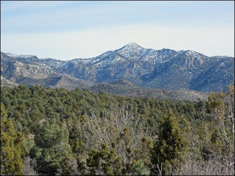 Pinyon-Juniper Woodland on Mt. Irish with snow (view SE) |
Some Rules and Regulations Basin and Range National Monument is managed by the BLM, so all rules and regulations appropriate for BLM areas apply. In particular, do not collect or otherwise disturb historical artifacts and rock art sites. Pack it in, pack it out. Drive on roads and trails, not in the bushes. FOR MORE INFORMATION Visit the Friends of Basin and Range FaceBook page. Contact the Caliente office of the BLM: Caliente Field Office, 1400 South Front Street, P.O. Box 237, Caliente, NV 89008. Phone: 775-726-8100. |
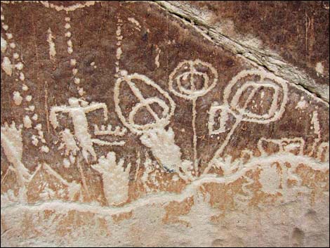
 Messages from the past |
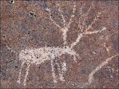 Looks like an elk to me |
 Ridge of eroded ash-flow tuff |
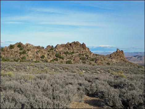 Another of many ridges of eroded ash-flow tuff |
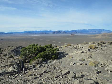
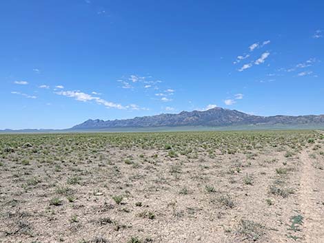
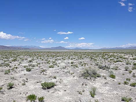
 All of Coal Valley (view N from hills at south edge of the valley) |
 All of Coal Valley (view N from hills at south edge of the valley) |
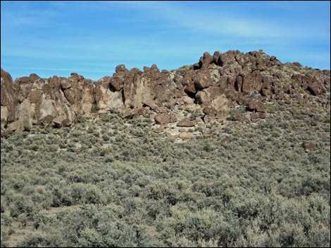
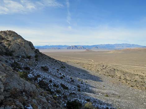
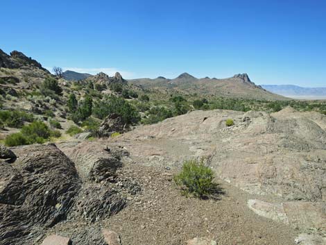
 Wide open spaces with interesting rock outcrops (view N) |
 Main roads, like Timber Pass Road here, are well maintained |
 |
 |
 Cattle roam the sagebrush in Coal Valley |
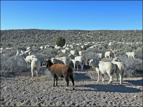 Traditional ranching practices (sheep and cattle) are protected |
 Sagebrush at edge of Pinyon-Juniper zone |
 Singleleaf Pinyon Pine (left) and Utah Juniper (right) |
 |
 |
 White River Narrows Archeological District; Amphitheater Wall |
 White River Narrows Archeological District |
 White River Narrows Archeological District; Martian Home Site |
 White River Narrows Archeological District |
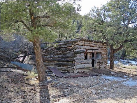 Logan Canyon cabin (view W) |
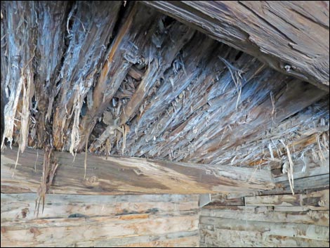 Logan Canyon cabin roof timbers -- making things the old way |
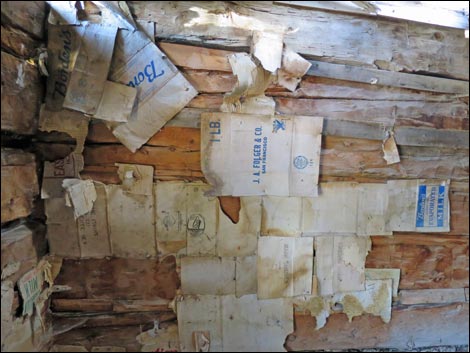 Logan Canyon cabin -- miner's wall paper |
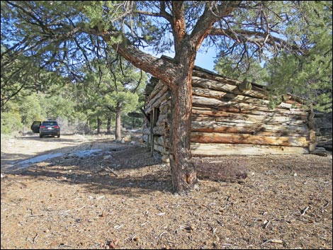 Logan Canyon cabin (view E) |
 Logan Pass (view E) |
 Logan Pass (view W) |
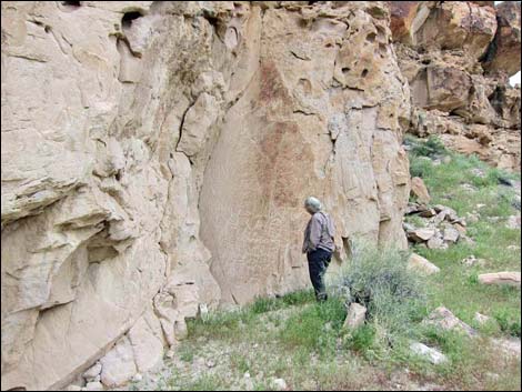
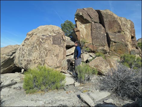 Mt. Irish Archeological District; Shaman Knob |
 Shaman Knob -- sideways petroglyphs? No, the boulder rolled sideways! |
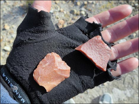 Stone tools lying on the ground at Shaman Knob |
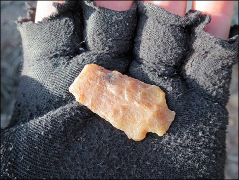 Broken point at Shaman Hill (be sure to leave what you find) |
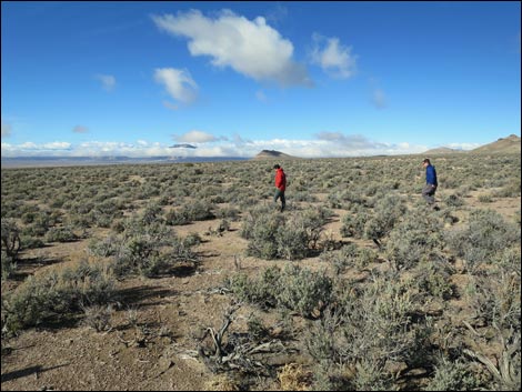 Hiking among sagebrush in Coal Valley (view NW) |
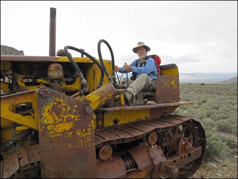 Old mining equipment abandoned in the desert |
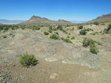
 Timber Mountain area (view W) |
 Worthington Range (view SW from Garden Valley) |
 Timber Mountain area (view W) |
 Timber Mountain area (view NE) |
 Garden Valley |
 Coal Valley (view S from north of Water Gap |
 Roadside camping in northern Coal Valley (nobody came by) |
 Timber Mountain Pass area |
 Volcanic ash formations in the Timber Mountain Pass area |
 Volcanic ash formations in the Timber Mountain Pass area |
 Volcanic ash formations in the Timber Mountain Pass area |
 Volcanic ash formations in the Timber Mountain Pass area |
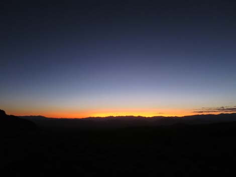 Sunset over Basins and Ranges |
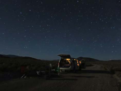 Roadside camping in northern Coal Valley (night-light) |
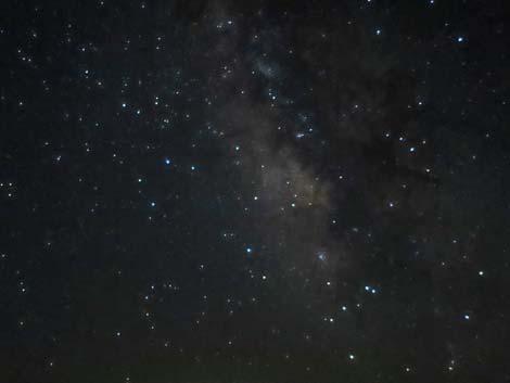 Dark sky and Milky Way over Coal Valley (view S) |
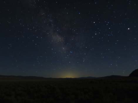 Dark sky over Coal Valley (view S towards glow of Las Vegas) |
 Seaman Range near Oreana Spring (view W) |
 Seaman Range near Oreana Spring (view NW) |
 Seaman Range, Oreana Spring Road highpoint (view W) |
 Seaman Range highpoint (view N) |
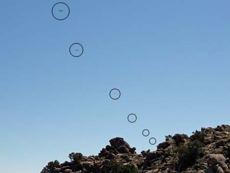 Six of 24 C-130 military aircraft flying low over the landscape |
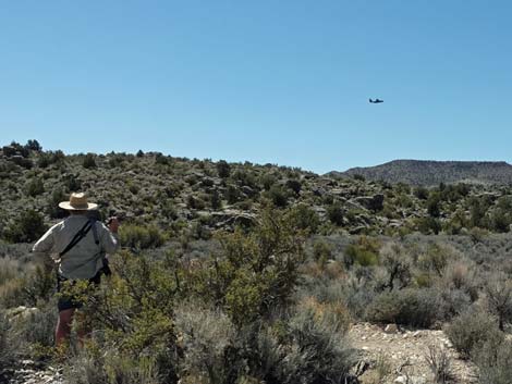 One of 24 C-130 military aircraft flying low over the landscape One of 24 C-130 military aircraft flying low over the landscape |
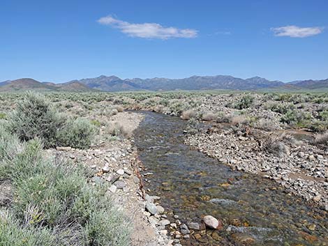 Pine Creek flowing from the Quinn Canyon Range (view NE) |
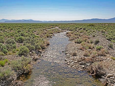 Pine Creek flowing out into Garden Valley (view E) |
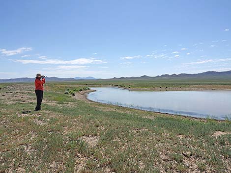 Birding over a stock pond (view E) |
 Worthington Range (view SW from Garden Valley) |
 Grant Range (view NW from Garden Valley) |
 Seaman Range (view NE from Coal Valley) |
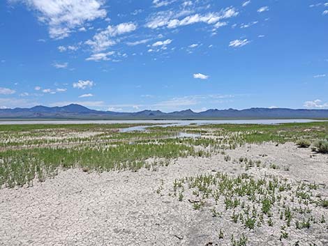 Coal Lake after a wet winter (view SE) |
 Coal Lake after a wet winter (view N) |
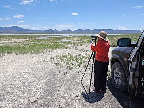 Birdwatching at Coal Lake (vie SE) |
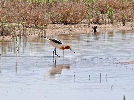 American Avocet: unexpected friend breeding in Coal Lake |
Happy hiking! All distances, elevations, and other facts are approximate.
![]() ; Last updated 240322
; Last updated 240322
| Rock Art Around Las Vegas | Hiking Around Las Vegas | Glossary | Copyright, Conditions, Disclaimer | Home |