Hiking Around Las Vegas, Other Areas
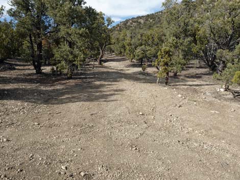
 Arriving at last campsites and end of Badger Valley Road (view NW) |
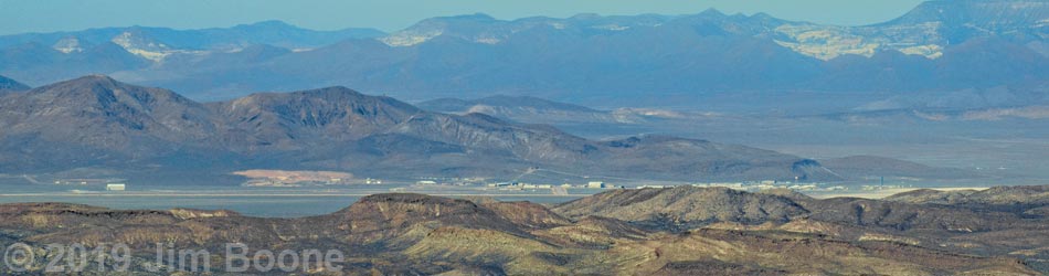
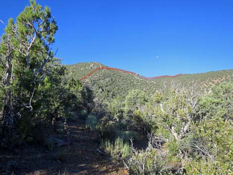
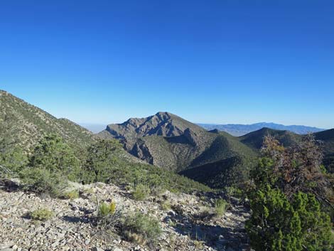
Overview The hike up Tikaboo Peak is a fairly tough 2.5-mile round-trip that leads to one of the quintessential Las Vegas hiking experiences: the last legal view of Groom Lake and the secret military base at Area 51. The government still claims that Area 51 doesn't exist and that they don't fly captured alien spacecraft from there, but hike up and take a look for yourself. The base is 26 air-miles to the west, so bring high-powered optical equipment and get an early start to ensure that the sun is low and at your back for optimal viewing. Even if you don't see any UFOs, the summit views are spectacular and give the impression of being on top of the world. Link to hiking map or elevation profile. Also link to summit views and photos of the descent. |
 Trailhead: last campsites and end of normal road (view W) |
Watch Out Other than the standard warnings about hiking in the desert, ...this hike is rough, but pretty safe. The use-trail is steep and rocky, and there are many places where hikers could lose their footing. The only place to fall off something is the summit, so stay back from the edge. There is no water on the mountain. The elevations run from about 7,000 to 8,000 feet, so take it easy if you aren't used to the elevation. I've heard rumor that there are issues about black helicopters with shoot-to-kill orders, but you didn't hear it from me. While hiking, please respect the land and the other people out there, and try to Leave No Trace of your passage. Also, even though the hike is short, the area is remote, so bring the 10 Essentials. Make sure this route is of the appropriate difficulty for your skills. Bring a trash bag and plan to pack out more trash than you bring in. I hauled down a pack-full of water bottles and two bags of beer cans and assorted trash from the summit. If you are tough enough to haul water and beer to the summit, be tough enough to pack out the empties. Don't be that guy: the trashy wimp. |
 Camper at last campsite on the left (view W) |
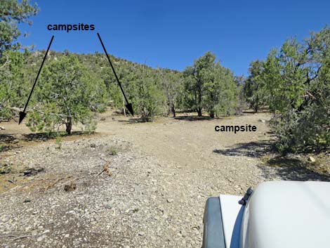
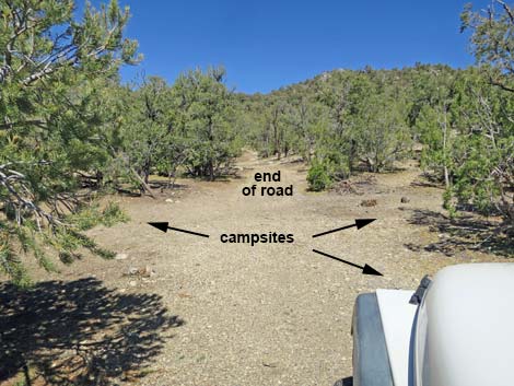
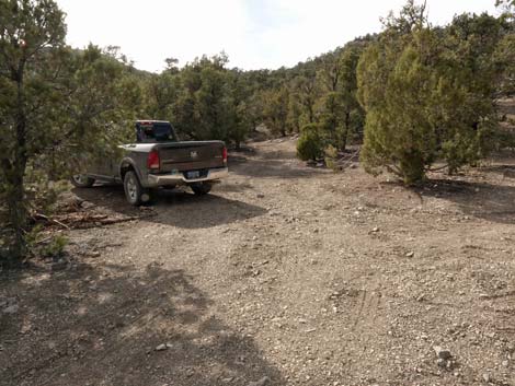
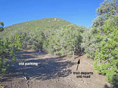
Getting to the Trailhead This hike is located in the Pahranagat Range (west of Alamo), about 2 hours northeast of Las Vegas. From Las Vegas, drive north on Interstate-15 to Highway 93. Drive north on Highway 93 about 66.8 miles Badger Valley Road, an unmarked, well-graded dirt road to the left (Milepost LN 32.2). The turnoff to Badger Valley Road is on a curve about 0.4 miles past (north of) Pahranagat NWR Visitor Center Road. A curve on a 70-mph road is an inherently dangerous place to make a left turn. If vehicles are following close behind when approaching the turn, it would be wise to pull off early at a safe spot on the right to let cars pass before trying to make the left turn onto Badger Valley Road. On Badger Valley Road, drive west, then south, and finally northwest for 22 miles to campsites at the end of the road. Park here; this is the trailhead. Note that the parking is a bit cramped, so turn around and park facing out if you can lest other hikers arrive later and block you in. |
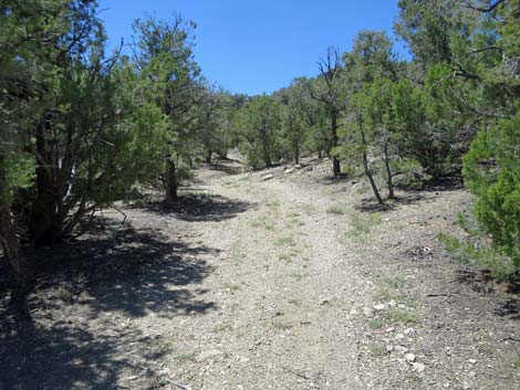
 The road seems to continue westward (view W) |
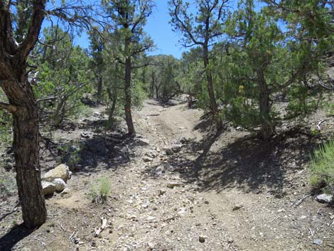
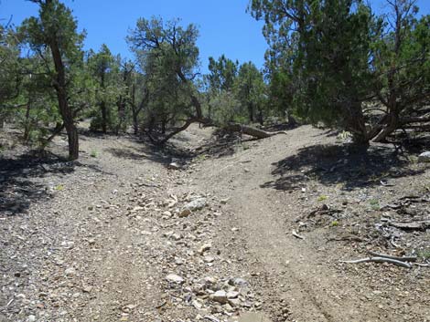
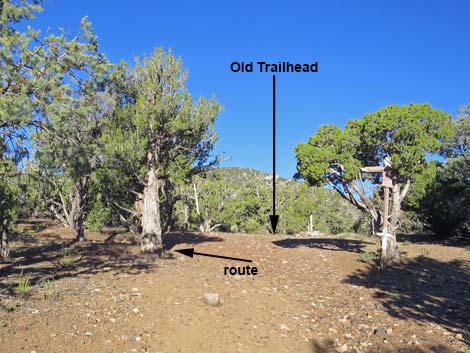
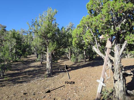
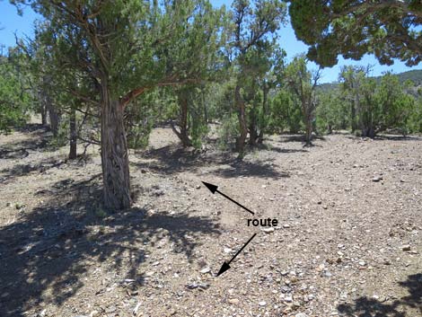
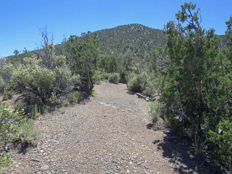
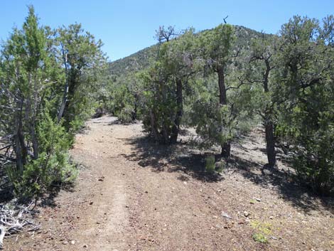
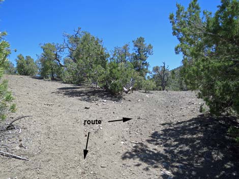
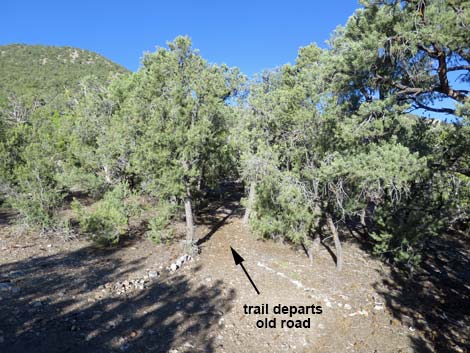
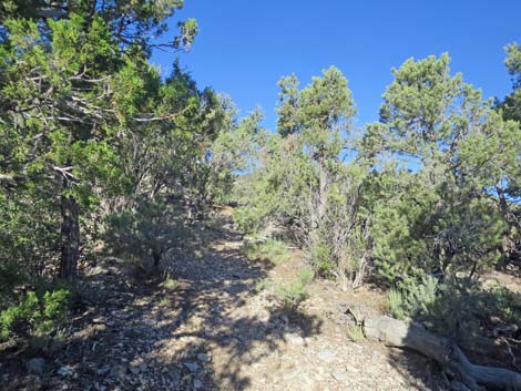
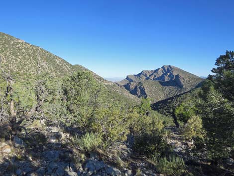
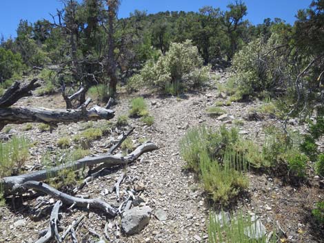
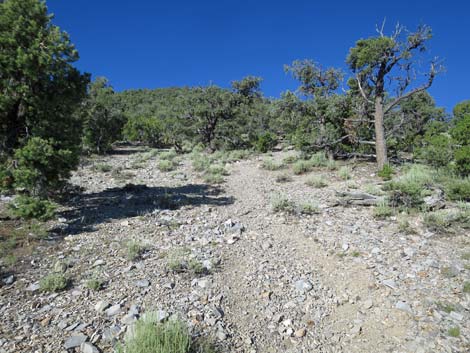
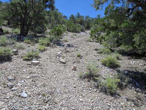
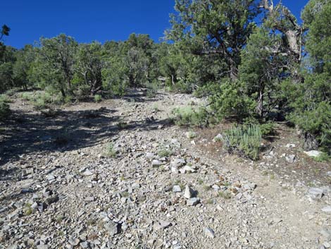
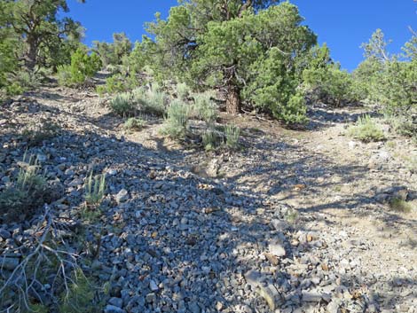
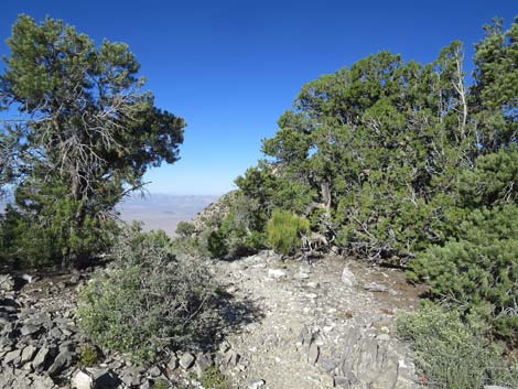
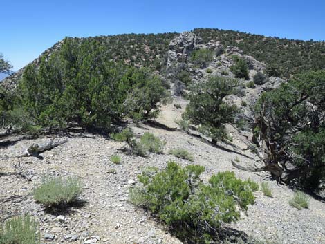
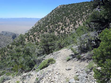
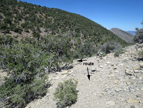
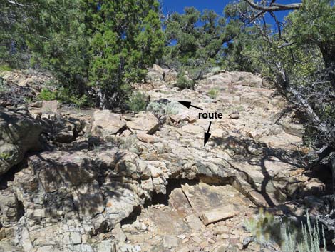
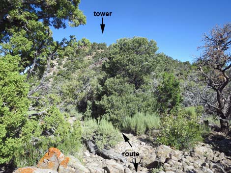
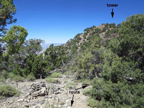
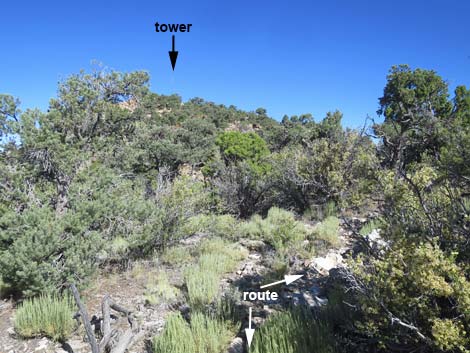
The Hike From the trailhead (Table 1, Waypoint 01) at the last campsites, the route starts by following the narrow, rocky, washed-out road up the gully to the west. In about 0.10 miles, the road ends at the original Tikaboo Trailhead (Wpt. 02), the turn-around loop at what was the end of Badger Valley Road during better days. On the south side of the turn-around loop (Wpt. 02), a narrow spur road cuts through a gap in the trees and climbs the hillside (quite steep at first). The route follows this spur road up and levels out a bit on the ridgeline above. There are several places along the spur road where the entire route and the summit are visible, so it is worth taking a minute to get orientated for the rest of the hike. In this view, looking right of the road, the route runs up the hillside ahead staying on the other side of rocky outcrops on the hillside. Atop the ridge, the route runs on the skyline to a rocky knob. Passing behind the knob, the trail drops into a saddle, becomes visible again, and runs up the next hillside to the summit. Look carefully for a "weather station" tower on the summit. |
 Departing the campsites at the trailhead (view W) |
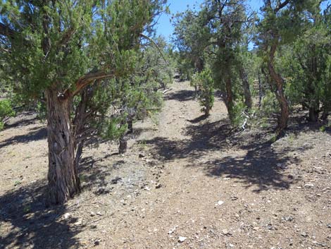
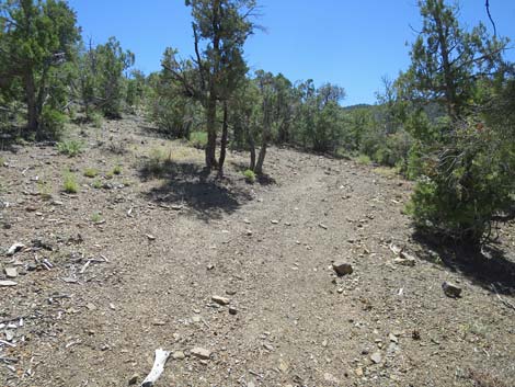
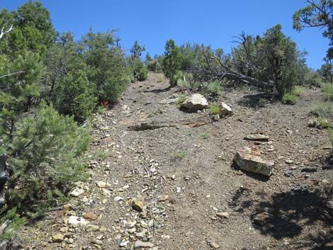
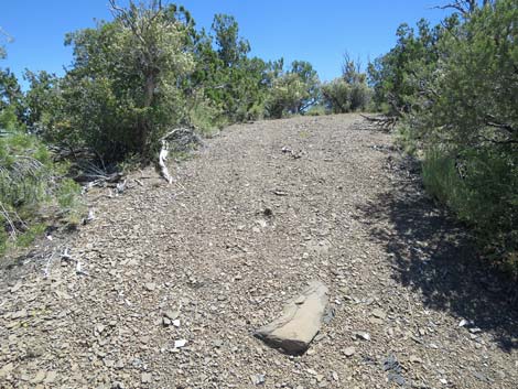
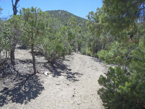
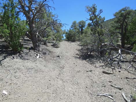
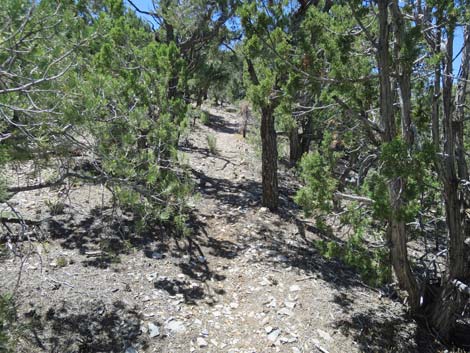
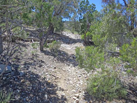
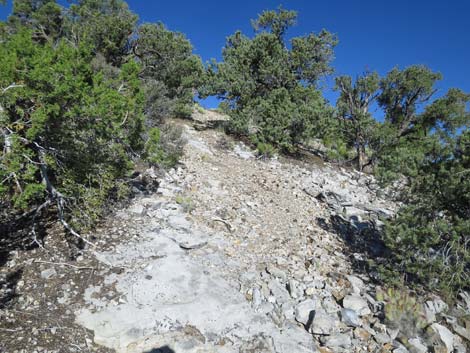
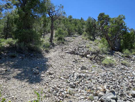
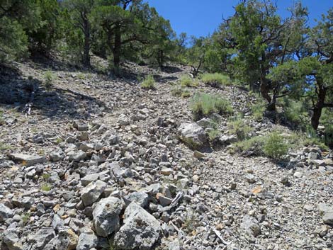
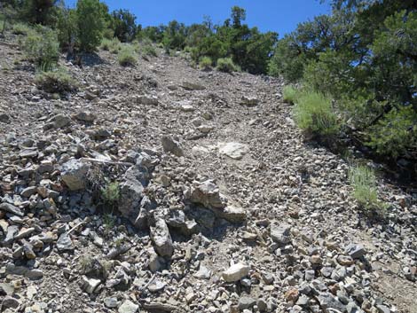
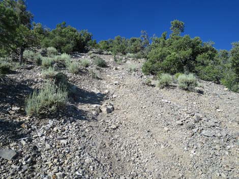
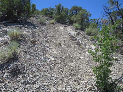
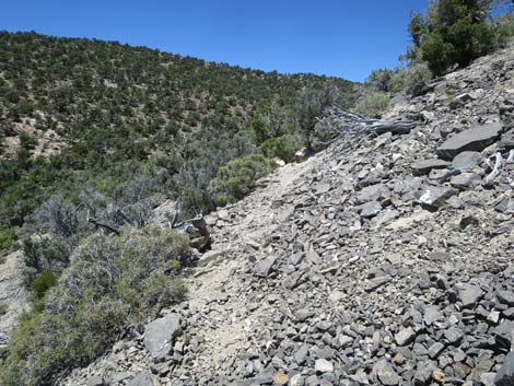
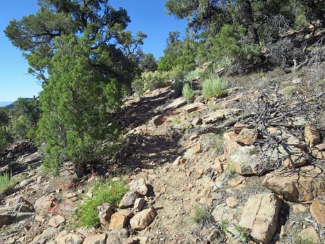
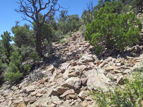
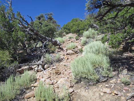
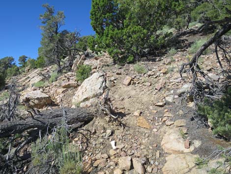
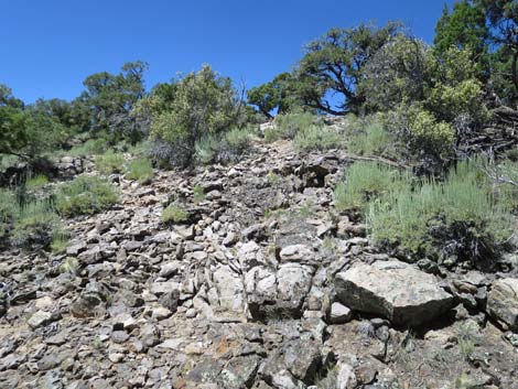
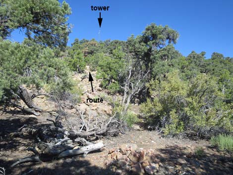
The spur road runs out for 0.21 miles to a turn-around loop with a campsite (Wpt. 03). When just entering the loop, on the northwest (near-right) side of the loop, an obscure use-trail cuts west into the trees and heads upward. Watch for stones lining the start of the trail where it disappears into the trees. The use-trail turns southwest and heads up the hillside staying to the left of the cliffy areas seen from below. The trail can be somewhat obscure, especially for hikers heading uphill, so keep an eye out for cairns and rock-alignments that indicate the trail. The use-trail starts out at moderate grades, but then starts to get steep (Wpt. 04). Eventually, the use-trail becomes quite steep (Wpt. 05) as it generally climbs straight up a hillside of loose gravel. This section is particularly suited for using trekking poles or at least a walking stick. Fortunately, the steepest part is only about 80 yards, and then the use-trail levels out (relatively speaking) as it turns right (Wpt. 06) and cuts west across the sideslope angling off towards the top of the skyline ridge seen from below. |
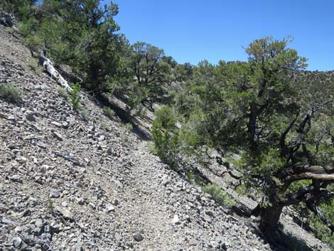
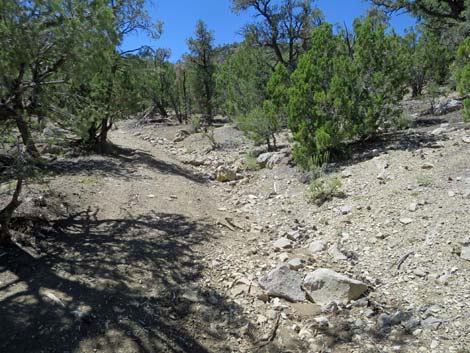 The old road is badly washed out and rocky (view W) |
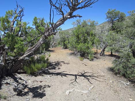
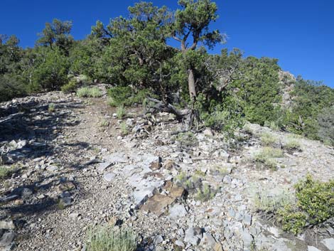
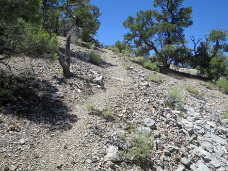
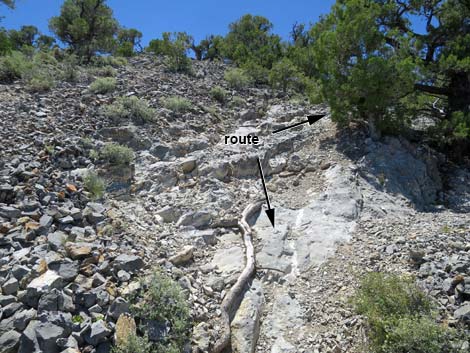
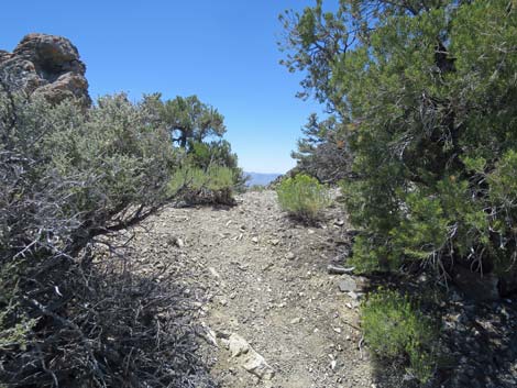
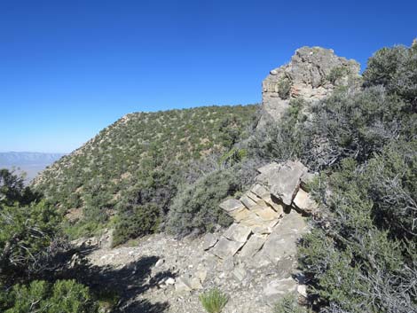
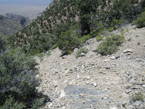
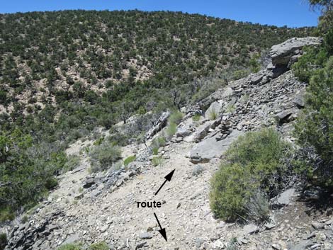
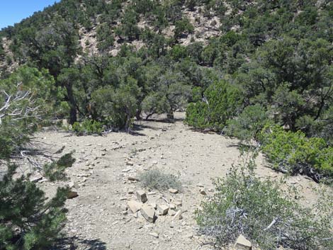
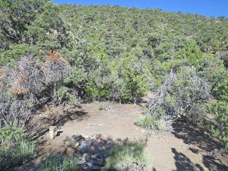
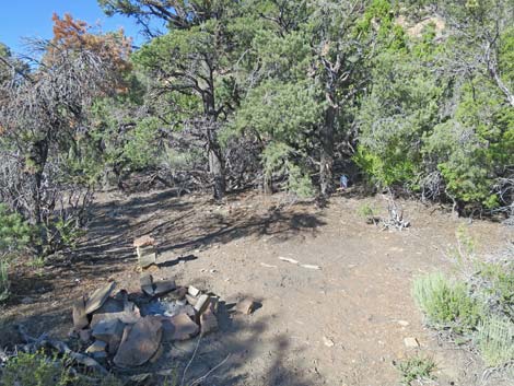
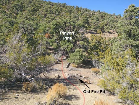
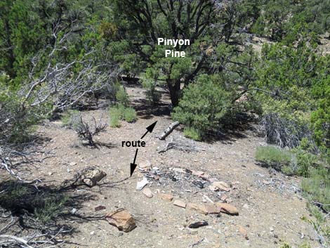
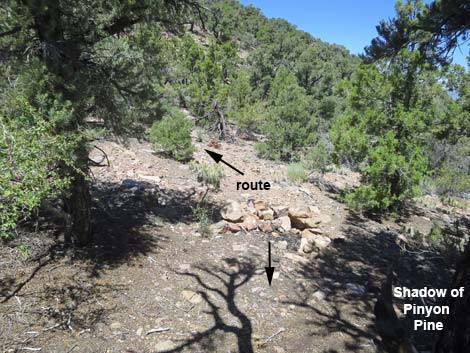
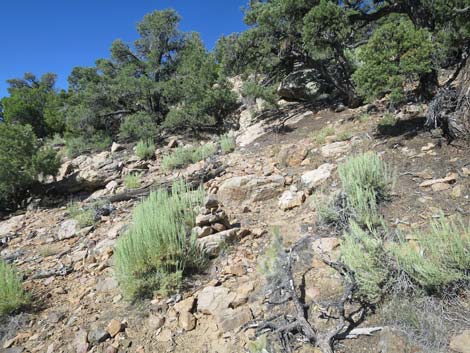
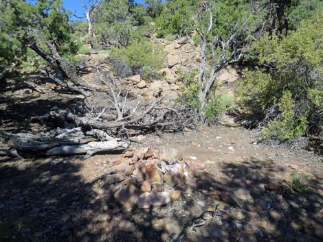
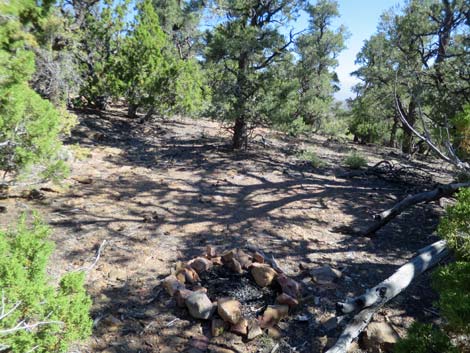
At the top of the skyline ridge (Wpt. 07), the faint use-trail crosses onto the south side to run west and downhill along the ridgeline. The trail drifts onto the north-side of the ridge and heads towards the rocky knob seen from below. Just before reaching the rocky knob, the trail drops off the south side of the ridge to pass beneath the rocky knob. The trail drops steeply across the slope with loose rocks and gravel reminiscent of the steep trail climbed earlier, and the trail becomes somewhat braided, so keep an eye out for cairns and other rock alignments that indicate the trail. After dropping rather steeply and traversing an area of loose rocks, the trail contours northwest back onto to the ridgeline, then abruptly turns downhill following the ridge into the saddle below. There are several campsites and campfire rings on the saddle. The largest, and the site currently being used, is 6-8 yards left of the trail. The trail fades out in the saddle area and tall pinyon pine and thick brush obscure the route, so it is easy to get off track here. Towards the right (northwest) side of the saddle area, the trail runs across an old fire ring (Wpt 08), cuts under the left side of a large pinyon pine, curves right to cross another old fire-ring, and becomes obvious again as it winds around a few shrubs to hit the base of a rock slope (Wpt. 09). |
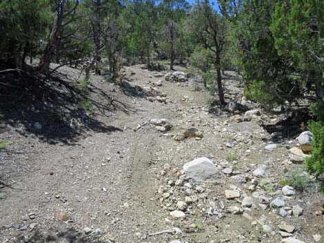 The old road is badly washed out (view W) |
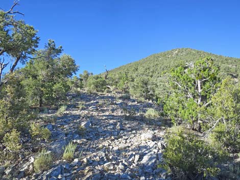
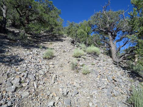
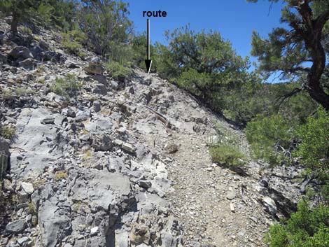
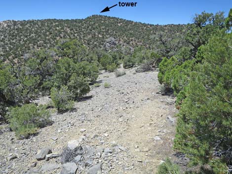
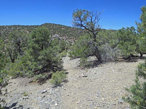
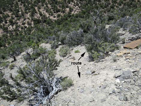
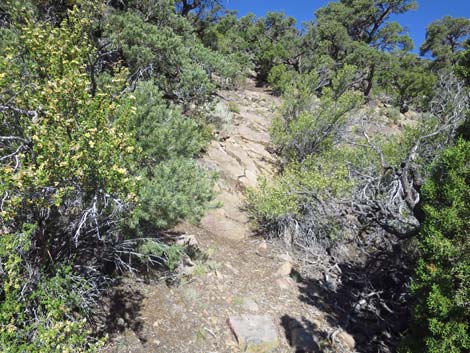
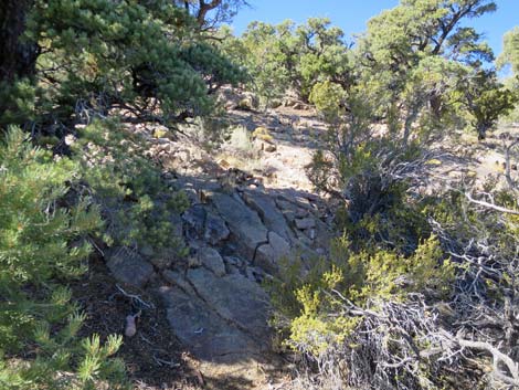
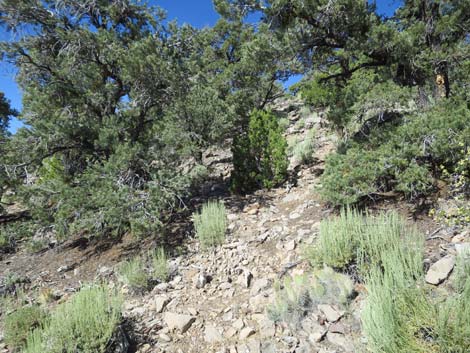
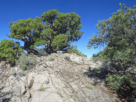
At this point, the use-trail starts up the hillside on the left edge of the barren rock face. The use-trail cuts up the rock face and curves to the left. Watch for cairns, as it is easy to lose the trail on this hillside. On my first visit, I missed the trail here and climbed the hillside without the advantage of the use-trail. There is a use-trail all the way up, so if you aren't on a trail, you are off-route -- it probably is off to the left. Curving to the left at the top of the rock face, the use-trail runs up across the hillside heading generally southwest all the way to the crest of this ridge (Wpt. 10). Stepping over the ridgeline onto an open, flat area, the use-trail totally disappears as hikers fan out in all directions. However, the tower on the summit is visible, and hikers can head north through the trees parallel to a rocky outcrop on the right. Shortly (about 100 yards), hikers enter a nice camping area with at least two large campfire rings and flat space for lots of tents among the trees. By the first campfire ring (Wpt. 11), the route cuts through bushes onto a clear rocky slope and starts winding up through the rocks and trees towards the summit. |
 |
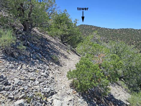
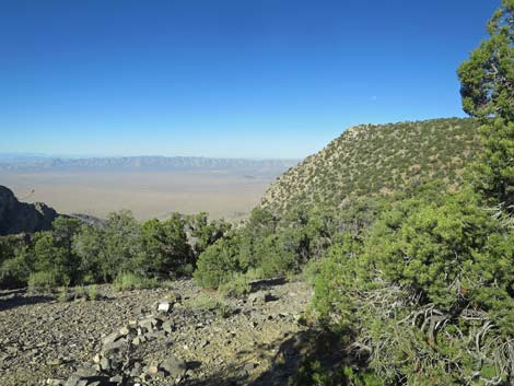
The weather station tower is clearly visible in this area, so hikers need not fear getting lost, and besides, the camera on the tower probably is already focused on you, so if you get lost, the black helicopters will know where to look. On the summit (Wpt. 10), hikers built a blockade-type rock shelters that provide a sheltered place to hide from the wind, or whatever you need to hide from, while gazing to the west. The vegetation on the summit is mostly pinyon pine and a few juniper trees, with a bit of stansbury cliffrose, sagebrush, grizzlybear cactus, Mormon tea, some bunchgrasses, and other odds and ends mixed in, but none of it blocks the grand views. The military base at Groom Lake lies 26 miles west, but with a spotting scope and a clear day, visitors can see activity at the base. Link to photos of grand summit views in all directions. Return to the trailhead (photos of the descent) by following your footprints back down the mountain. |
 Old road passes around a fallen pine tree (view W) |
 Approaching the old trailhead (view W) |
 The old weather vane is propped against a tree (view S) |
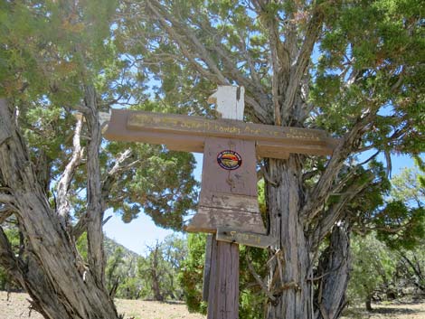 Remains of the old weather vane (view S) |
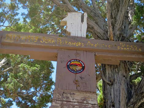 1912-1993, John Perkowski, Architect Black Projects |
 Weather vane during better times (2015) in original position (view W) |
 Original trailhead parking (view W) |
 From original trailhead parking, route turns south (view SW) |
 Old 2-track road departs the original trailhead parking area (view S) |
 Old 2-track road runs steeply up the hillside (view SW) |
 Old 2-track road narrows and climbs steeply (view S) |
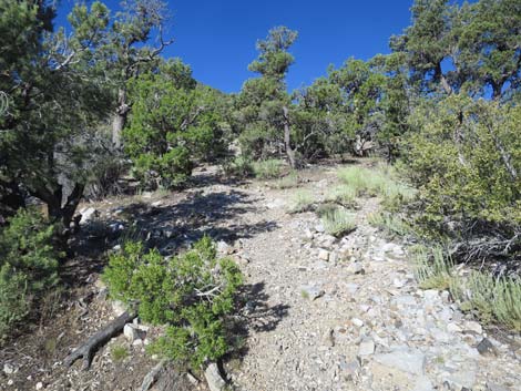
 Much of the route to the summit is visible from this area (view SW) |
 Old 2-track road narrows and climbs steeply (view S) |
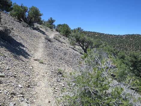
 Old 2-track road follows not-so-steep ridgeline (view SW) |
 |
 |
 |
 |
 Climbing towards the end of the old 2-track road (view S) |
 Old 2-track road splits at start of turn-around loop (view S) |
 Campsite; foot-trail departs the old 2-track road (view SW) |
 Watch for lines of stones that mark the trail (view SW) |
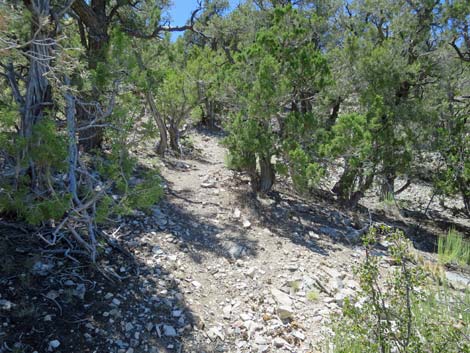
 Foot trail climbs at moderate grades through the trees (view SW) |
 Foot trail climbs at moderate grades through the trees (view SW) |
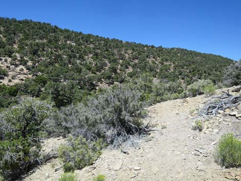
 Trail is usually easy to follow (view SW) |
 Grand scenery provides good excuse to stop and rest (view N) |
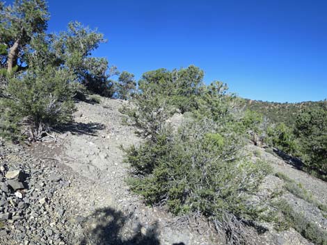
 Obscure trail runs up rocky hillside (view SW) |
 Obvious trail in most places is easy to follow (view SW) |
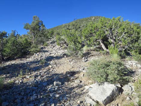 Obscure trail runs up rocky hillside (view SW) |
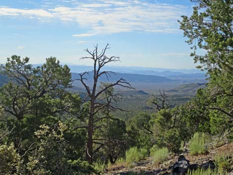 Grand scenery provides good excuse to stop and rest (view SE) |
 |
 |
 |
 |
 |
 |
 |
 |
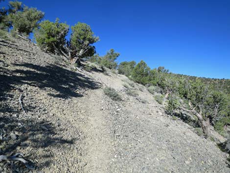
 Steep trail is fairly easy to follow on open slope (view SW) |
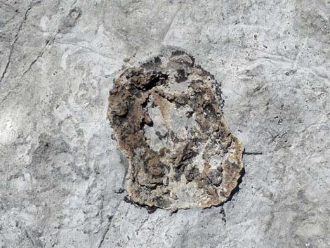 Take time to be distracted by fossil curiosities in the stone |
 The trail is steep ... |
 until it gets really steep (view SW) |
 |
 |
 |
 |
 |
 |
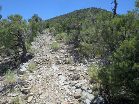
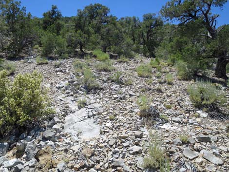
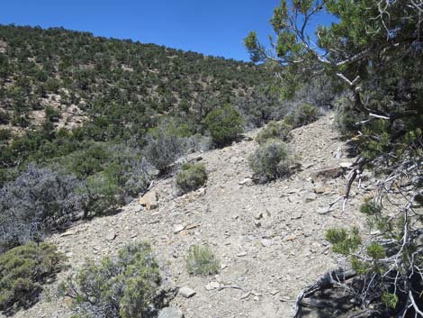
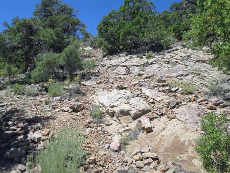
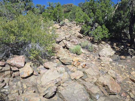
 Trail climbs very steep hillside with loose gravel and rocks (view SW) |
 Very steep hillside with loose gravel and rocks (view SW) |
 Very steep hillside with loose gravel and rocks (view SW) |
 Not so obviously, and unexpectedly, the trail turns right (view SW) |
 Trail turns to traverse hillside (view W) |
 Watch for cairns and paint marks at the turn |
 Traverse across hillside; summit tower becomes visible (view W) |
 Trail on traverse across hillside (view W) |
 Trail on traverse across hillside (view W) |
 Trail traverses hillside (view W) |
 Approaching the crest of the ridge (view W) |
 Crest of the ridge (view SW) |
 Rest with a view at crest of the ridge (view SW) |
 Summit tower again becomes visible on the crest (view W) |
 Easy trail running down the ridge (view W) |
 Approaching the rocky knob visible from far below (view W) |
 Before the knob, the trail crosses over the ridgetop again |
 Rocky knob; trail turns over the ridgeline (view SW) |
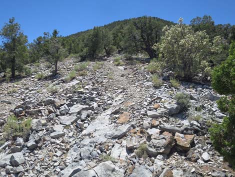
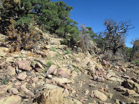
 Steep, loose gravel and rocks in the trail (view SW) |
 Steep, loose gravel and rocks in the trail (view SW) |
 The trail appears to fork, stay high (view W) |
 The trail appears to fork, stay high; follow cairns (view NW) |
 Trail becomes faint (view NW) |
 Faint trail traverses hillside (view NW) |
 Faint trail traverses hillside (view NW) |
 More obvious trail traverses hillside (view NW) |
 More obvious trail traverses hillside to the ridgeline (view NW) |
 One the ridgeline, the turn turns straight down (view W) |
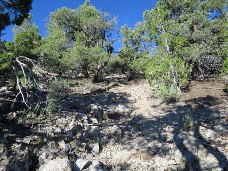
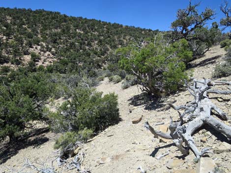
 New campsite on the saddle is 10 yards left of trail (view NW) |
 New campsite on the saddle is 10 yards left of trail (view NW) |
 Trail crosses through old campfire ring on the saddle (view W) |
 Old campfire ring on the saddle (view W) |
 Beneath tree past old campfire ring, trail continues (view NW) |
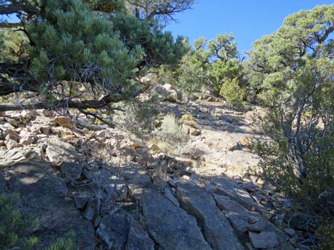
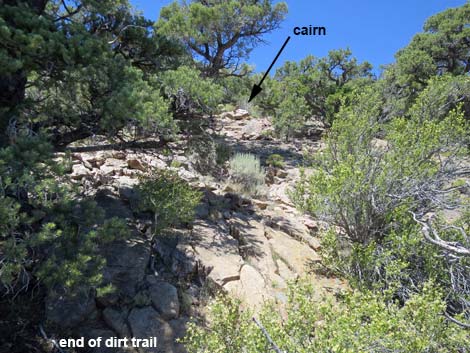
 Dirt trail leads to a rocky hillside (morning; view NW) |
 Dirt trail leads to a rocky hillside (afternoon; view NW) |
 Trail starts up and right across rocky hillside (view W) |
 Trail climbs straight up rocky hillside; watch for cairns (view W) |
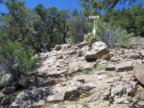 Trail climbs straight up rocky hillside; watch for cairns (view W) |
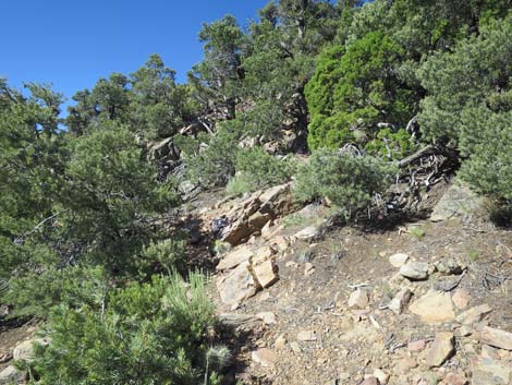 Atop the rocky outcrop, the trail bends left (view SW) |
 Parts of the trail remain rocky (view W) |
 Much of the trail is dirt and easy to follow (view SW) |
 This part runs across loose rocks; watch for cairns (view SW) |
 |
 |
 |
 |
 |
 |
 Arriving at the crest of the ridge (view W) |
 Standing atop the crest, the tower is visible again (view NW) |
 Large cairn just over the crest (view W) |
 At the cairn, the trail disappears; route runs north (view NW) |
 In the flat area, a large campsite |
 Trail crosses large campsite to head up the rocks (view NW) |
 Another, large campsite a few yards farther north (view N) |
 Across the large campsite, trail heads up the rocks (view NW) |
 Trail crosses through a small burn area (view NW) |
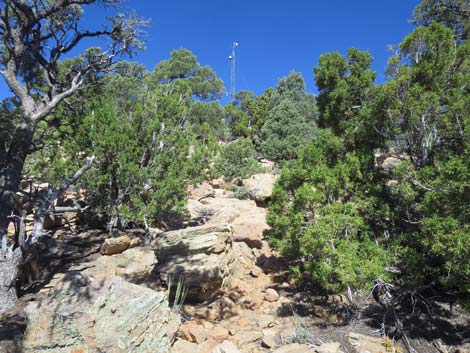 Route through rocks and trees heads towards the tower (view NW) |
 Approaching the tower (view NW) |
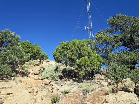
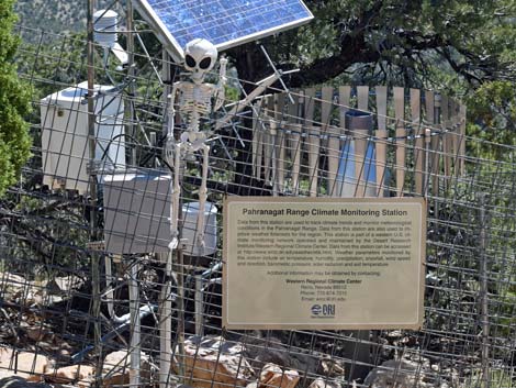 Base of the tower is a fenced weather station (view NE) |
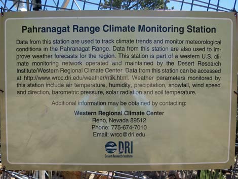 Sign on weather station fence (view NE) |
 Beyond weather station, the summit is a few yards farther (view W) |
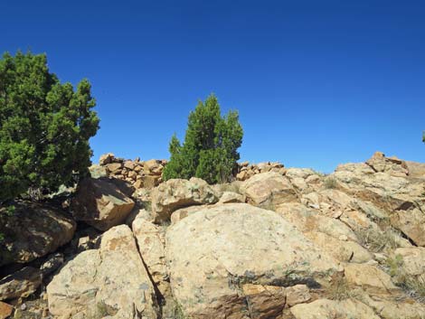
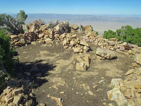 Cleared campsites on the summit (view W towards Area 51) |
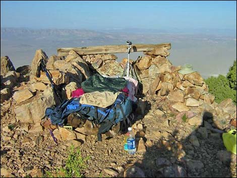 Campsite on the summit. Groom Lake is 26 air-miles away (view W) |
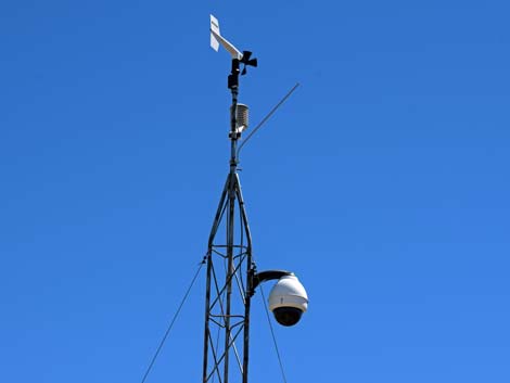 Clear-glass camera cover has been replaced with a mirrored cover |
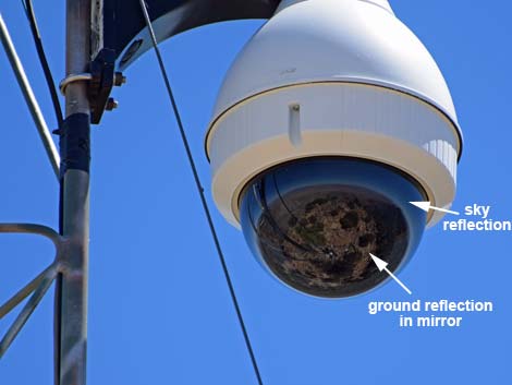 Ground and sky reflections are visible in the round mirror |
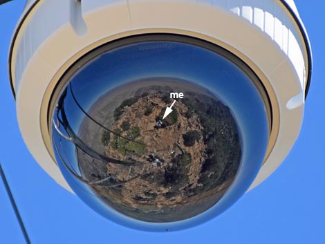 Ground and sky reflections are visible in the round mirror |
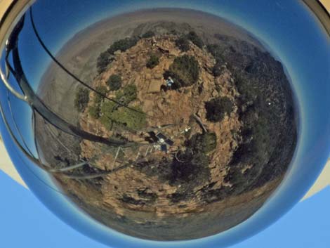 Ground and sky reflections are visible in the round mirror |
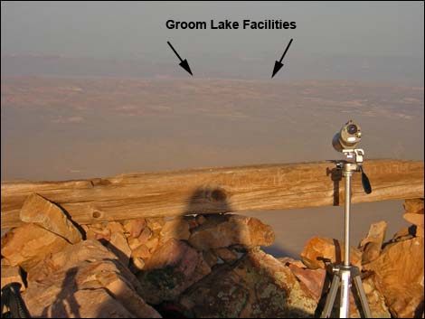 Early morning with sun at your back (view W) More Summit Photos |
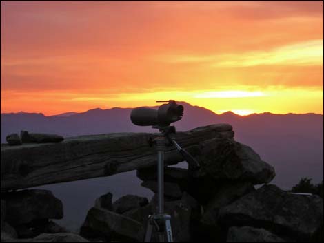 Sunset over Groom Lake (view W) More Summit Photos |
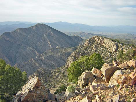 Grand scenery (view N) |
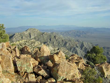 Grand scenery (view S) |
Table 1. Hiking Waypoints Based on GPS Data (NAD27; UTM Zone 11S). Download Hiking GPS Waypoints (*.gpx) file.
| Wpt. | Location | UTM Easting | UTM Northing | Elevation (ft) | Point-to-Point Distance (mi) | Cumulative Distance (mi) |
|---|---|---|---|---|---|---|
| 01 | Trailhead at Campsites | 646666 | 4134789 | 6,708 | 0.00 | 0.00 |
| 02 | Original Trailhead | 646531 | 4134748 | 6,974 | 0.10 | 0.10 |
| 03 | End of Jeep Road | 646455 | 4134469 | 7,122 | 0.21 | 0.31 |
| 04 | Trail is Getting Steeper | 646364 | 4134362 | 7,136 | 0.11 | 0.42 |
| 05 | Trail is Really Steep | 646179 | 4134214 | 7,471 | 0.19 | 0.61 |
| 06 | Beginning of Traverse | 646153 | 4134167 | 7,654 | 0.04 | 0.65 |
| 07 | Crest of Ridge | 646053 | 4134132 | 7,683 | 0.08 | 0.73 |
| 08 | Old Campsite on Saddle | 645779 | 4134139 | 7,568 | 0.19 | 0.92 |
| 09 | Trail Crosses Hillside | 645738 | 4134145 | 7,637 | 0.04 | 0.96 |
| 10 | Crest of High Ridge | 645584 | 4134037 | 7,819 | 0.14 | 1.10 |
| 11 | Campsite below Summit | 645536 | 4134109 | 7,800 | 0.06 | 1.16 |
| 12 | Tikaboo Summit | 645442 | 4134123 | 7,895 | 0.08 | 1.24 |
| 01 | Trailhead at Campsites | 646666 | 4134789 | 6,708 | 1.24 | 2.48 |
Happy Hiking! All distances, elevations, and other facts are approximate.
![]() ; Last updated 240324
; Last updated 240324
| Hiking Around Las Vegas | Glossary | Copyright, Conditions, Disclaimer | Home |