Hiking Around Las Vegas, Tule Springs Fossil Beds National Monument
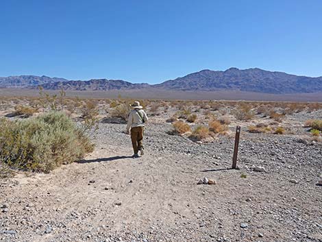
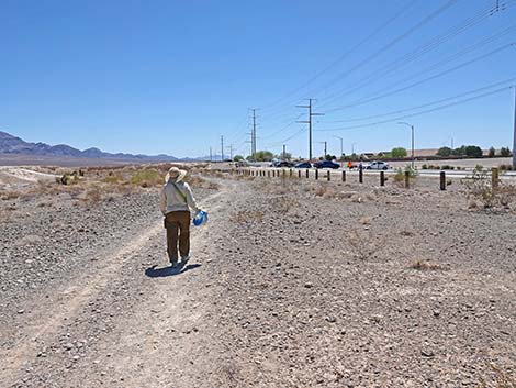
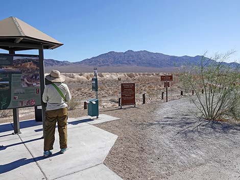 Hiker at Durango Trailhead information kiosk (view NE) |
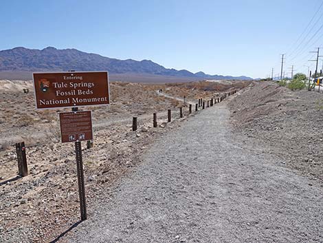
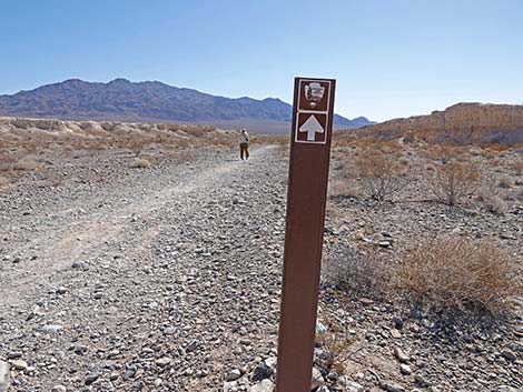
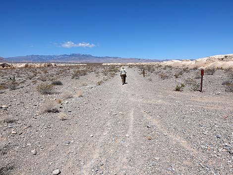
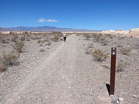
Overview Tule Springs Fossil Beds National Monument is a new National Park Service area (designated in December 2014), and as such, there are not yet any formally designated trails. However, the Durango Loop Temporary Trail is the start of creating official trails. The short version of this trail makes a nice, fairly easy, nearly level, 1-3/4-mile hike in the new National Monument. Following old roads, the trail runs out to the third gravel-filled valley (it runs between the second and third mud-ridge formations, runs up the gravel-valley (nice views), then loops back past the first two mud-ridges and returns to the trailhead. Carsonite signs, strategically set along the trail, help guide hikers along the way. Fossils can be found in the mud, but remember, no collecting here -- all paleontological resources are protected. This hike is a loop, so it can be hiked in either direction, but here it is described as starting to the east and following the loop in the counter-clockwise direction. Link to Map. |
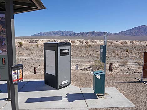 Trash can and dog-poop can (view N) |
Watch Out Other than the standard warnings about hiking in the desert, there are no particular dangers on this route, other than broken glass and lead-contaminated soils where illegal shooters once practiced. While hiking, please respect the land and the other people out there, and try to Leave No Trace of your passage. Also, even though this hike is short, be sure to bring what you need of the 10 Essentials. Getting to the Trailhead From downtown, drive north of Highway 95 towards Reno. Towards the north edge of town, exit right onto Durango Drive following signs towards Floyd Lamb Park at Tule Springs, then continue north on Durango Drive to the Durango Drive Trailhead. Park here; this is the trailhead. |
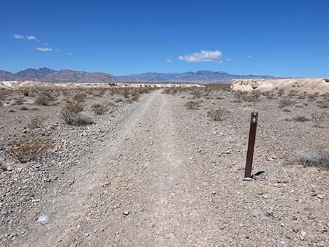
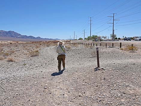
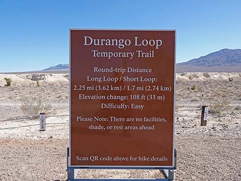 Trailhead information sign (view N) |
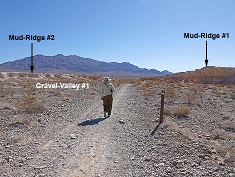
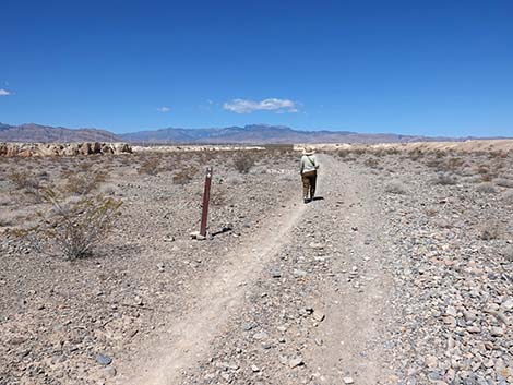
The Hike From the trailhead (Table 1, Waypoint 01), the trail runs down across the slope to the right (east), passes through a hiker access point into the new National Monument, and then continues east following an old, closed road (all of the old roads here are closed to vehicles). Following the old road east, the route runs in a gravel wash (Gravel-Wash #1) between yellow-mud cliffs (Mud-Ridge #1 and #2). The valleys between the yellow-mud hills are covered with gray-limestone gravels that washed down from the La Madre and Spring Mountains to the west. In addition to producing a nice contrast in colors between the gray gravels and yellow muds, the larger gravel pieces contain ancient Paleozoic seabed fossils, so keep an eye out. The gravel-filled valleys are sparsely vegetated with Creosote Bush, White Bursage, scattered Mojave Yucca, a few Nevada Jointfir, scattered Fluffgrass, and Desert Indianwheat, but few other species. As of May 2022, there are no QR codes on site. |
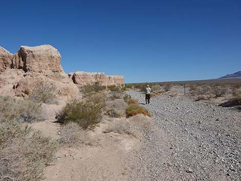
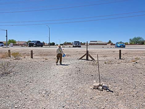
 Tule Springs boundary sign (view E) |
At the end of the yellow mud ridges (Mud-Ridge #1 on the right and Mud-Ridge #2 on the left), the old dirt road trail dead-ends at a T-intersection (Wpt. 02). Turning left, the trail runs northwest in another gravel-filled wash passing below the end of Mud-Ridge #2. In this gravel wash, Las Vegas Wash, the gravels are a combination of those from the mountains to the west and from the Las Vegas Range to the northeast. In this area, the trail follows Las Vegas Wash upstream. This area gets more water and the shrubs here are more robust and diverse, and there are likely to be wildflowers in the spring. Plants that grow here, but not in the drier areas between the mud ridges include Shadscale Saltbush, Desert Globemallow, Matchweed, Cheesebush, Virgin River Brittlebush, Brownplume Wirelettuce, and Big Galleta Grass. Unfortunately, the invasive weeds Sahara Mustard and Halogeton are spreading into this area too. Continuing along following Las Vegas Wash and the intermittent old road northward, hikers traverse Gravel-Valley #2, a gravel-filled valley that separates Mud-Ridge #2 and Mud-Ridge #3. Hikers who need a very short loop can turn left and follow Gravel-Valley #2 westward until encountering old roads that run south over the top of Mud-Ridge #2 and back to the trailhead. |
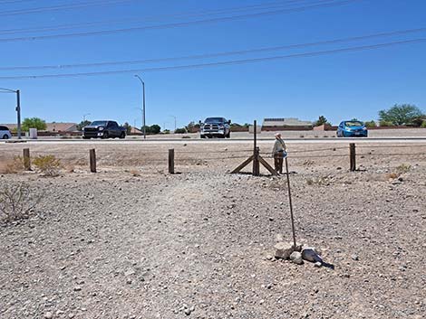
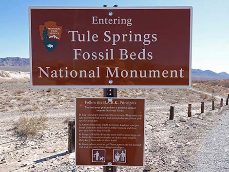 Tule Springs Fossil Beds National Monument boundary sign (view NE) |
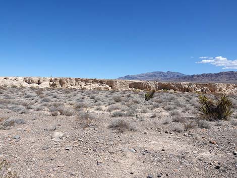
Continuing northwest on the Loop trail, hikers quickly pass Gravel-Valley #2, and as before, it is covered with gray limestone that washed down from the mountains to the west. Still following the old road north, the route passes the east end of Mud-Ridge #3 and enters Gravel-Valley #3. Here, the old road forks three ways (Wpt. 03). The first old road bends right and runs out into the upper reaches of Las Vegas Wash. This is not a formal trail, but hikers can wander this way out into some of the wilder lands in the National Monument. The middle fork, the Durango Loop Temporary Trail -- Long Version, continues straight (northwest). This trail takes hikers atop Mud-Ridge #4. The trail to the left runs northwest into Gravel-Valley #3; this the Durango Loop Temporary Trail -- Short Version. Staying left onto the Short Loop Trail, hikers head up Gravel-Valley #3 between Mud-Ridge #3 on the left and Mud-Ridge #4 on the right. The walking here is pretty easy. |
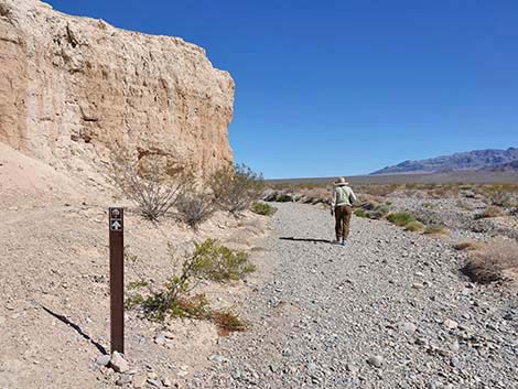
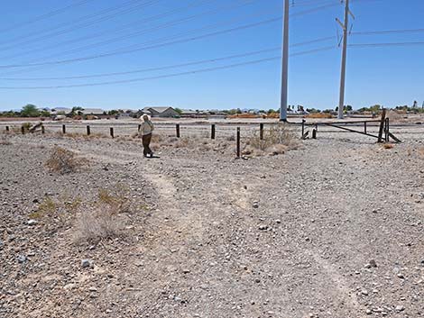
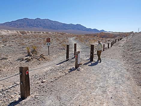 Hiker starting through a gate in the boundary fence (view NE) |
Hikers eventually dip through a small wash and arrive at an intersection of old roads (Wpt. 12). Hikers can change their minds here and turn right to climb atop Mud-Ridge #4 or turn left to cut short their hike by hiking south over Mud-Ridge #3 and #2 to the trailhead (Wpt. 01). The better option, of course, is to continue on the main trail. From the trail junction, the next 0.3 miles of trail become deep, soft gravel. This is the hardest part of the walk and probably not suitable for hikers with ambulatory issues. Even if more difficult, hikers should try to stay on the old road rather than trampling vegetation in the open desert off to the sides. Shortly, hikers arrive at a Citizen Science Station. Here, hikers are encouraged to contribute to our understanding of the changing environment by simply putting your phone in a jig and taking a standardized photo. If everyone uses the jig, all of the phone cameras should point exactly in the same direction. Upload your photo via email to upload@chronolog.io with TSF-102 in the subject line. Your photo will be added to a time-lapse video with all of the other submissions. Continuing west, the loose gravel underfoot becomes tiring, but eventually hikers approach the west end of Mud-Ridge #3 and reach a trail junction (Wpt. 09) where the Short Loop and Long Loop trails rejoin. |
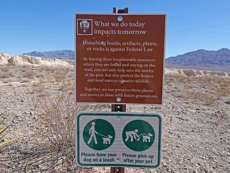 What we do today affects tomorrow -- do your part |
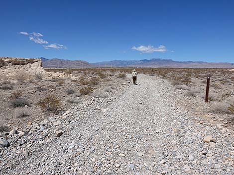
The Loop trail continues southeast around the end of Mud-Ridge #3 where the trail forks (Wpt. 10) again. Here, the trail takes the left fork and runs out across Gravel-Valley #2, around the end of Mud-Ridge #2, and into Gravel-Valley #1. Approaching the Tule Springs boundary fence, the trail forks again. Here, the trail turns left while a spur trail runs south to a (closed) gate in the boundary fence and out to Moccasin Road. Now running down Gravel-Valley #1, parallel to Moccasin Road, the trail runs eastward towards the trailhead (Wpt. 01), which is visible ahead. Approaching the trailhead (Wpt. 01), hikers can cut out through a gap in the boundary fence near the west end of the trailhead, or they can continue east to where the outbound trail initially dropped into the gravel wash, close the loop, and hike back up and westward to the trailhead kiosk (Wpt. 01), ending the hike. |
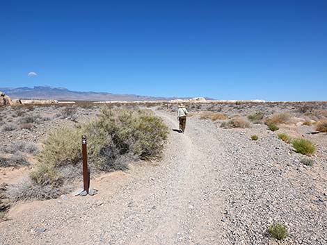
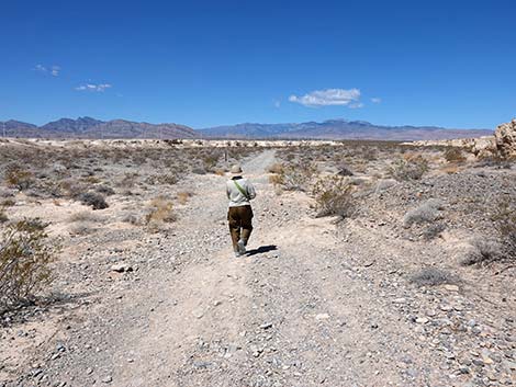
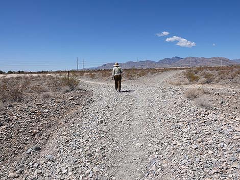
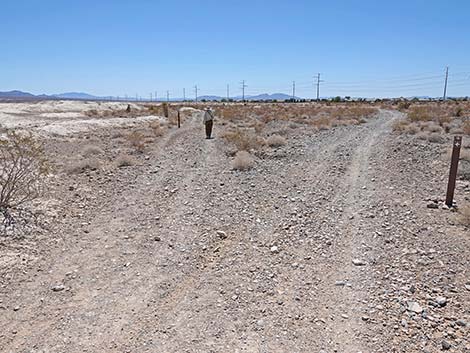
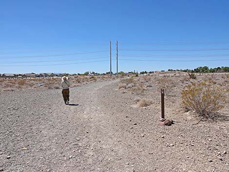
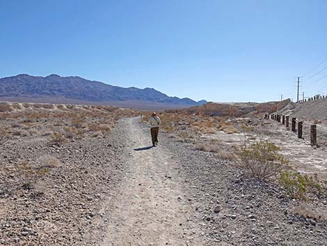 Hiker on trail in the first gravel-valley (view E) |
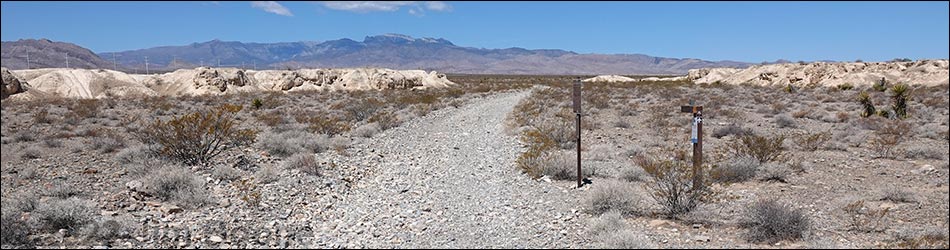
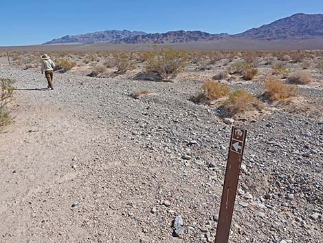
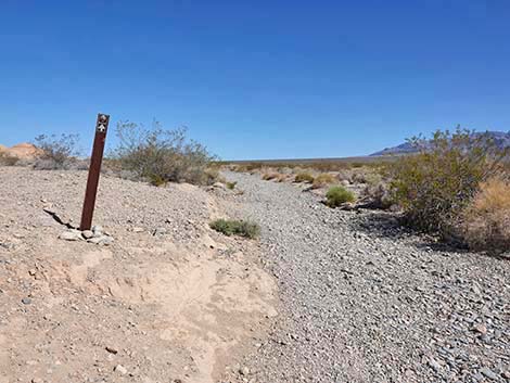
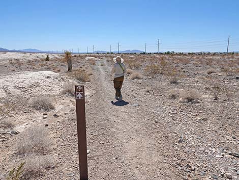
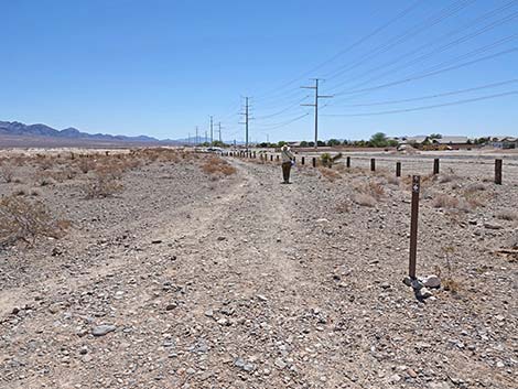
 Hiker passing the first carsonite trail sign (view NE) |
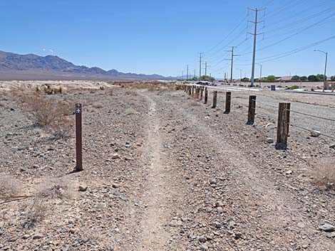
 Carsonite trail sign; watch for direction arrows (view NE) |
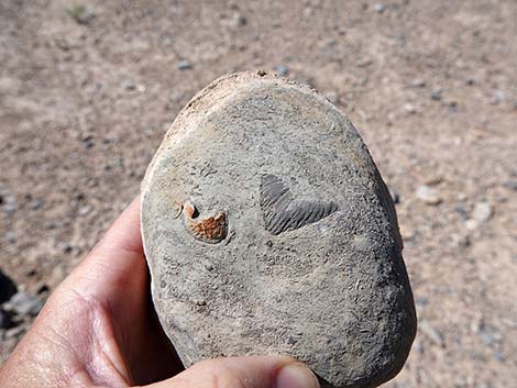 Paleozoic seabed fossils (coral and brachiopods) in the limestone cobbles |
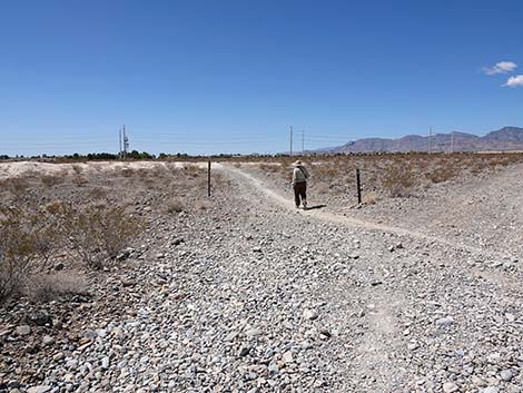
 Hiker turning into Las Vegas Wash (view NE) |
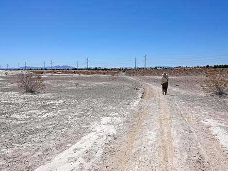
 The trail runs up Las Vegas Wash (view N) |
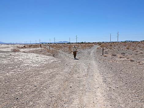
 Hiker in Las Vegas Wash passing end of Mud-Ridge #2 (view N) |
 Hiker in Las Vegas Wash continuing past end of Mud-Ridge #2 (view N) |
 Trail in Las Vegas Wash continues past the first mud-ridge (view N) |
 Hiker in Las Vegas Wash entering Gravel-Valley #2 (view N) |
 Hiker in Las Vegas Wash continues across Gravel-Valley #2 (view N) |
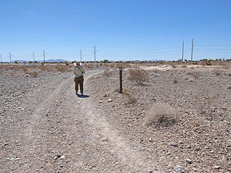
 When questions arise, carsonite signs mark the way (view NW) |
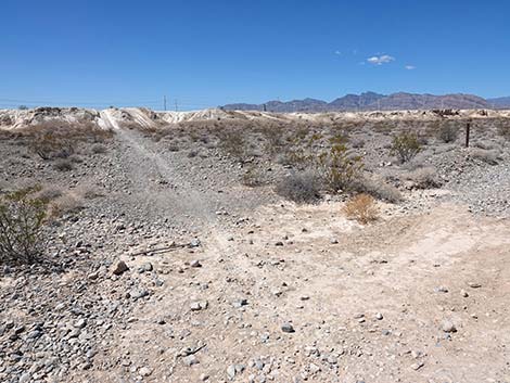
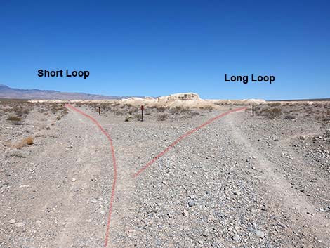 The trail forks: Short Loop left, Long Loop right (view N) |
 Hiker turning left onto the Short Trail (view W) |
 Carsonite signs mark the Short Trail (view W) |
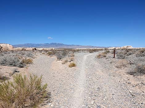
 Gravel-Valley #3 provides nice views of the mud-ridges (view W) |
 This part of the Short Loop has a nice, firm base that provides easy walking |
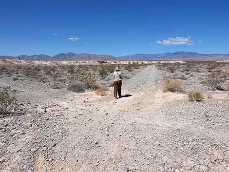
 Hiker crossing a small wash (view W) |
 Hiker at trail junction; main trail continues straight (view W) |
 At trail junction; alternate trail shortcuts back to the trailhead (view W) |
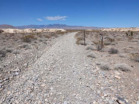 Gravel in the trail becomes deep and soft, making for harder walking |
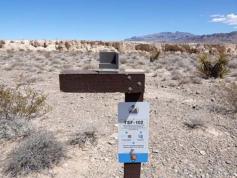
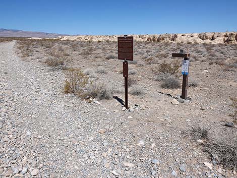 Approaching the Citizen Science Station (view NW) |
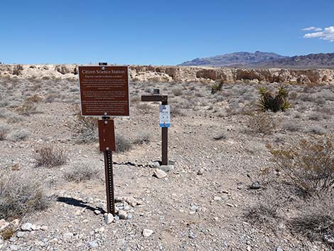 Citizen Science Station (view N) |
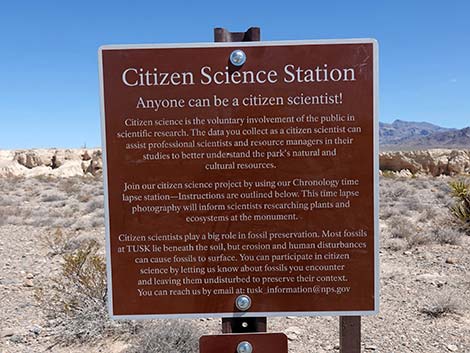 Citizen Science information sign (view N) |
 Citizen Science camera holder or "jig" (view N) |
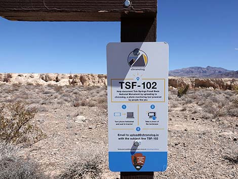 Submit your photo to upload@chronolog.io, Subject: TSF-102 Submit your photo to upload@chronolog.io, Subject: TSF-102 |
 This is my Chronolog photo (see time-lapse of the others) |
 Hiker approaching west end of Mud-Ridge #3 (view W) |
 Short Loop ends at intersection with Long Loop (view SW) |
 Hiker continuing on Long Loop Trail (view SW) |
 Hiker crossing west end of Mud-Ridge #3 (view S) |
 Atop Mud-Ridge #3, first view of the trailhead (view S) |
 Hiker staying left at trail junction (view SE) |
 Hiker staying left at trail junction (view SE) |
 Carsonite signs mark the route along edge of Mud-Ridge #3 (view SE) |
 Hiker starting across Gravel-Valley #2 (view SE) |
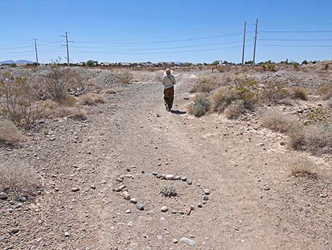 Someone showed some love for a small shrub in the trail (view SE) |
 Not visible in photo, but hiker passing west end of Mud-Ridge #2 (view S) |
 Trail entering Gravel-Valley #1 (view S) |
 Near the boundary fence, the trail turns left (view SE) |
 Hiker on trail paralleling Moccasin Road (view E) |
 Carsonite signs continue to mark the way (view E) |
 Carrying bag of trash, hiker approaches trailhead (view E) |
 At trailhead junction, hikers can continue straight or turn right (view E) |
 Hiker chooses to turn right towards west end of trailhead parking (view S) |
 Hiker exiting through gate in boundary fence at trailhead (view S) |
Table 1. Hiking Coordinates and Distances based on GPS Data (NAD27; UTM Zone 11S). Download hiking GPS waypoints (*.gpx) file.
| Wpt. | Location | UTM Easting | UTM Northing | Elevation (ft) | Point-to-Point Distance (mi) | Cumulative Distance (mi) |
|---|---|---|---|---|---|---|
| 01 | Trailhead | 654471 | 4022602 | 2,526 | 0.00 | 0.00 |
| 02 | Junction with Wash | 654994 | 4022820 | 2,476 | 0.36 | 0.36 |
| 03 | Old Road Forks | 654668 | 4023132 | 2,535 | 0.29 | 0.65 |
| 12 | Old Road Intersection | 654335 | 4023104 | 2,551 | 0.22 | 0.87 |
| 09 | Old Roads Intersect | 653880 | 4023025 | 2,582 | 0.30 | 1.17 |
| 10 | Old Roads Forks | 653912 | 4022910 | 2,580 | 0.08 | 1.25 |
| 11 | Powerline Road | 654115 | 4022622 | 2,570 | 0.25 | 1.50 |
| 01 | Trailhead | 654471 | 4022602 | 2,526 | 0.23 | 1.73 |
Happy hiking! All distances, elevations, and other facts are approximate.
![]() ; Last updated 240330
; Last updated 240330
| Hiking Tule Springs | Hiking Around Las Vegas | Glossary | Copyright, Conditions, Disclaimer | Home |