Hiking Around Las Vegas, Red Rock Canyon NCA
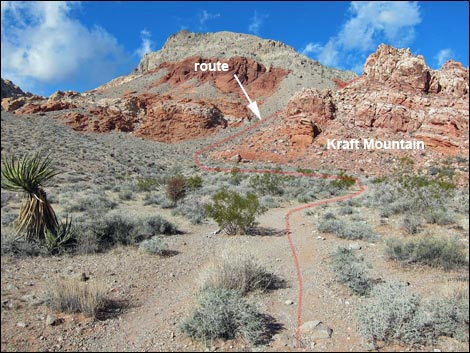
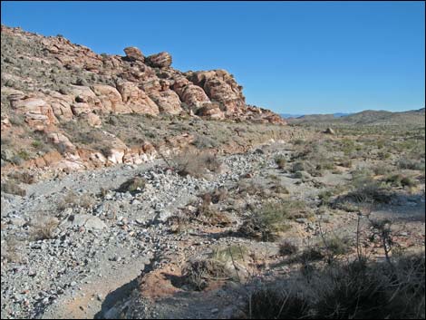
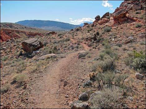
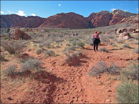
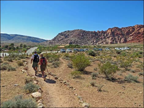
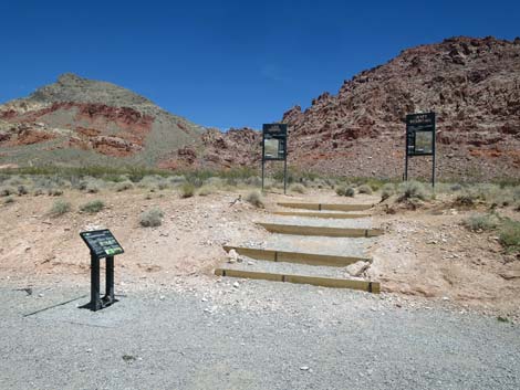 West Trailhead (view NW towards the route) |
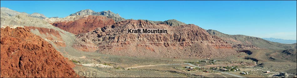
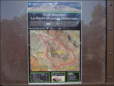
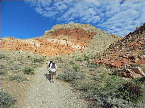
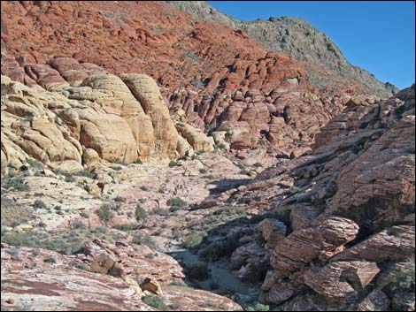
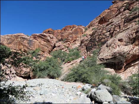
Overview The 3-1/4-mile Kraft Mountain Loop, also called Gateway Canyon Loop, circumnavigates Kraft Mountain (Peak 4714), which borders the north side of Calico Basin. The route can be hiked in either direction, but as described here, it starts heading northwest across desert flats on a use-trail that enters the La Madre Mountain Wilderness Area. In a tongue of gray limestone, the use-trail runs up steep slopes to a saddle with great views, then drops into Gateway Canyon. Following Gateway Wash, the route passes a few spots of easy rock scrambling and seasonal pools of water as it runs down to the mouth of the canyon. Use-trails then circle back across desert flats to the trailhead. Keep an eye out for wild geology and cool petroglyphs on this route. Link to map. Link to BLM Georeference PDF map file. |
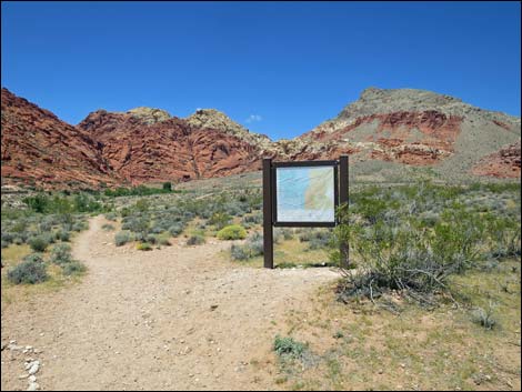
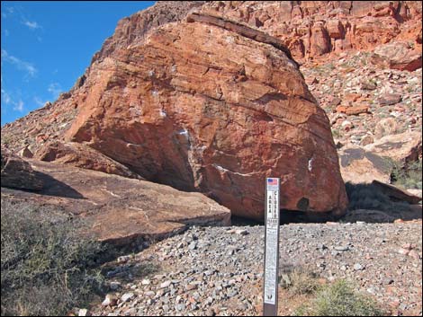
 Trailhead sign near entrance to parking lot (view NW) |
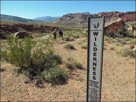
Watch Out Other than the standard warnings about hiking in the desert, ...this hike is fairly safe, but there are several short, steep Class-2 scrambles. Always be extra careful when you get high enough to fall and hurt yourself. While hiking, please respect the land and the other people out there, and try to Leave No Trace of your passage. Also, even though this is a short hike, be sure to bring what you need of the 10 Essentials. This route goes into the La Madre Mountain Wilderness Area, so pay particular attention to respecting the land. |
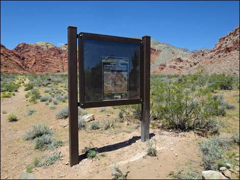
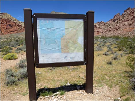
 Trailhead sign near entrance to parking lot (view W) |
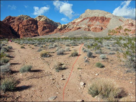
Getting to the Trailhead This hike is located in Red Rock Canyon National Conservation Area, about 30 minutes from town, but not on the Scenic Loop Road. Drive out West Charleston Blvd, turn right onto Calico Basin Road, and then drive to the end of the pavement and the Sandstone Road Trailhead. Park here; this is the trailhead. To hike the route clockwise, use the West Trailhead, which is located a few parking stalls from the west end of the parking area. For hiking in the other direction, use the trailhead that departs from the end of the paved road (outside the parking area). |
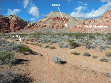 |
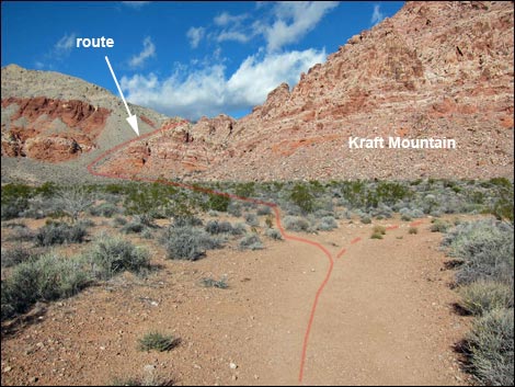
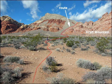
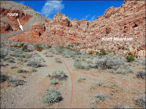
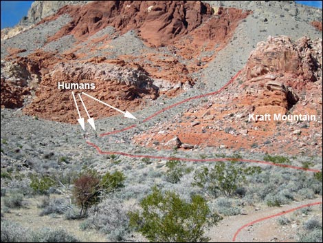
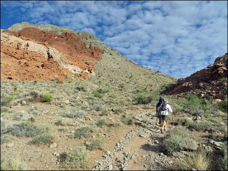
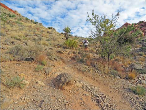
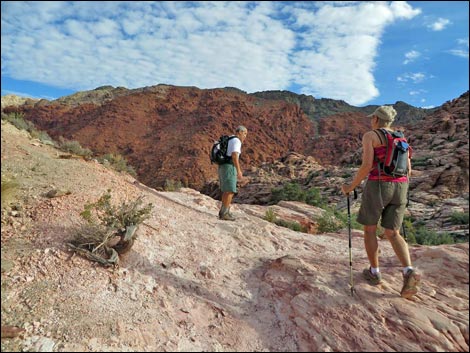
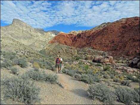
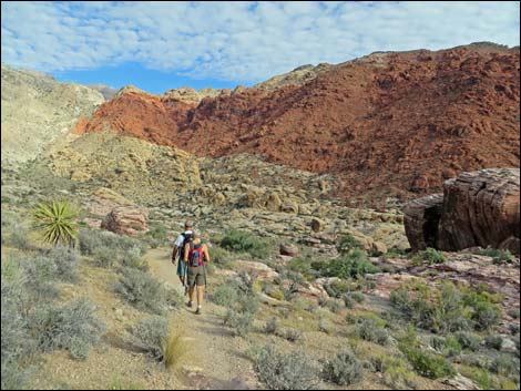
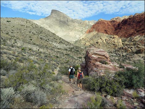
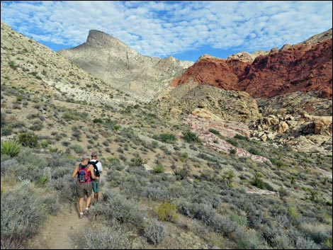
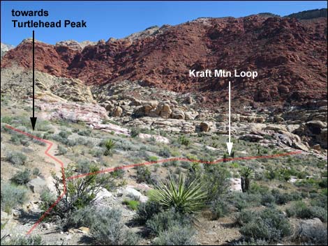
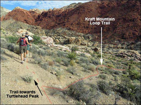
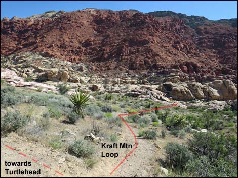
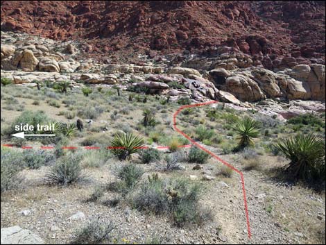
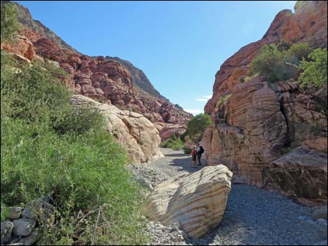
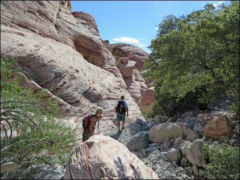
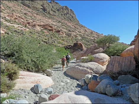
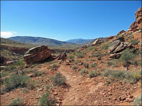
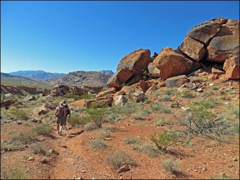
The Hike Before leaving the West Trailhead (Table 1, Waypoint 01), hikers need to look northwest and read the landscape so they can navigate the maze of use-trails and old roads that crisscross the desert flats between the trailhead and Kraft Mountain. First locate Kraft Mountain, the big, pink mountain north of the trailhead. Following the face of the mountain left, a tongue of gray limestone rubble can be seen flowing down the hillside from the skyline to the desert flats (between red-and-white sandstone cliffs). The route works across the flats to the gray hillside, and then climbs steeply up the gray. From the West Trailhead (Table 1, Waypoint 01), the route runs northwest following a maze of proliferating use-trails (Wpt. 02) and old roads (Wpt. 03) across the open desert. The exact trail matters little, so long as hikers are heading generally towards the tongue of gray limestone. |
 |
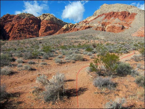
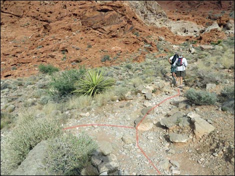
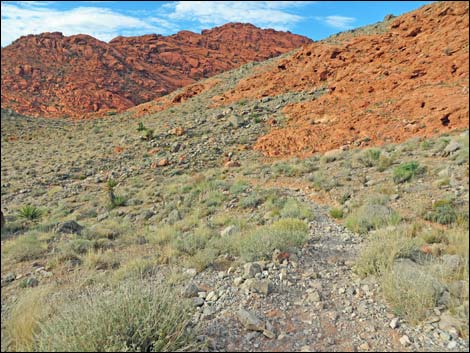
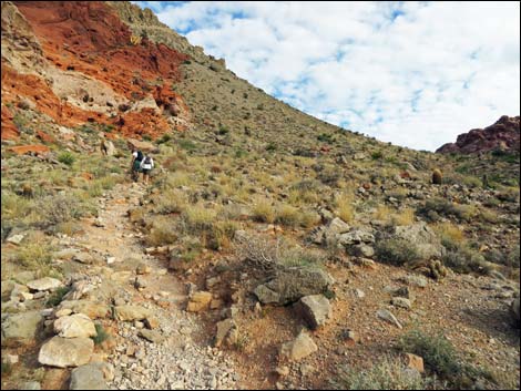
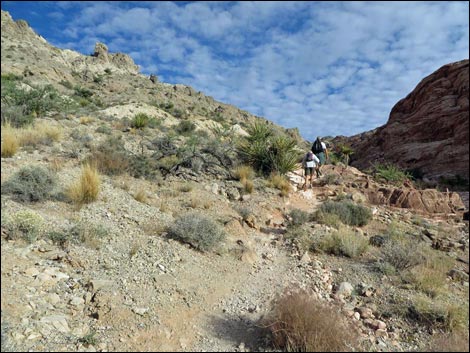
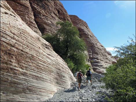
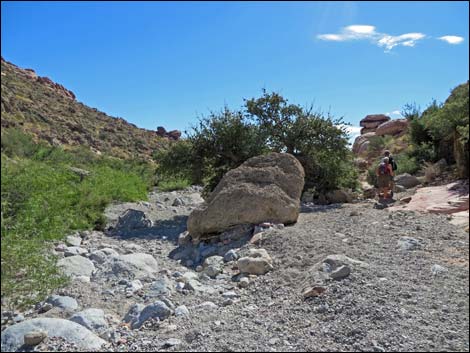
Through these desert flats, the vegetation is typical Mojave Desert Scrub where the dominant vegetation is composed largely of creosote bush and white bursage, with a few mojave yucca, spiny menodora, and catclaw acacia full of mistletoe. The use-trails lead northwest, then north and up a steep limestone hillside to a trail junction (Wpt. 04) where another use-trail comes in from the Ash Spring area to the west. From the trail junction (Wpt. 04), the route continues up the steep hillside following a single use-trail and eventually runs along the edge of a gully. Along this section, blackbrush becomes common on the slopes, and shrub live oak and desert almond become common in the gully where moisture levels are somewhat higher than on the hillsides. The use-trail finally reaches a saddle (Wpt. 05). Views to the south out over Calico Basin, and views to the north towards the mountains, are breathtaking. |
 |
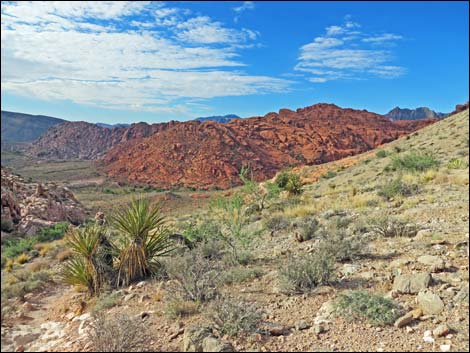
From the saddle (Wpt. 05), the use-trail continues northwest descending gradually across the hillside to a trail junction (Wpt. 06) just before a broad wash on the hillside. Turning right, the use-trail crosses the wash and descends across the hillside and slickrock. Alternatively, hikers can just descend the wash. Note that there are two use-trails along the wash. An alternative route leaves the saddle (Wpt. 05) and descends the boulder-choked canyon to the north. Scrambling down the canyon is slower, but undoubtedly more interesting. The route descends pour-overs; clambers over, under, and around enormous boulders; and winds among shrub live oak thickets. This route requires a bit of minimal 3rd-class scrambling. The various routes descending the hillside eventually run out onto sandstone slickrock. The easier route here stays left of the wash on the hillside, but eventually all routes converge at the bottom of the canyon (Wpt. 07) on the edge of Gateway Wash. |
 |
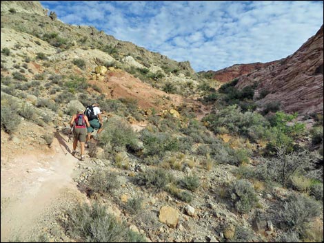
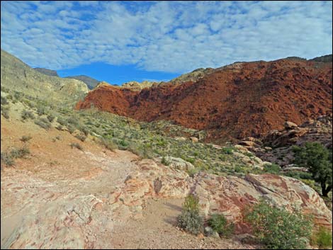
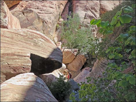
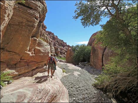
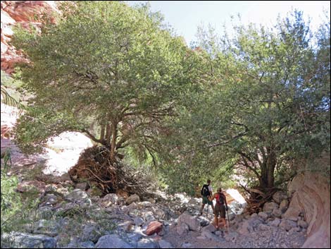
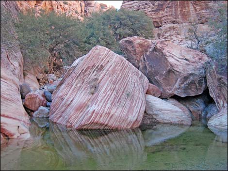
In the bottom of Gateway Canyon (Wpt. 07), the route turns to run southeast and down the canyon. Much of the route through the canyon runs in the gravel wash, but there are rocky areas and a couple of places where enormous boulders block the canyon and force hikers to scramble around the edges. During winter, deep pools of water impede progress and force a bit of extra rock scrambling. Because of the water and shade in the canyon, the vegetation is fairly lush compared to more sunny places. Canyon live oak are common along the wash, and there are some nice stands of desert willow. |
 |
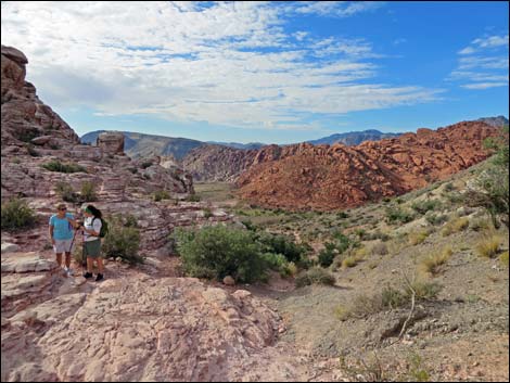
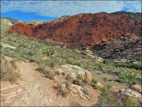
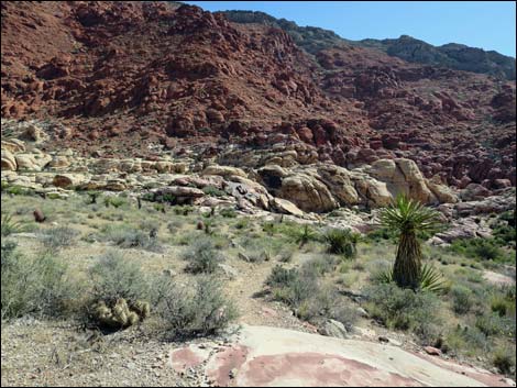
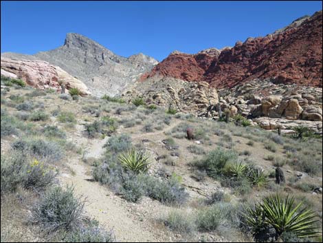
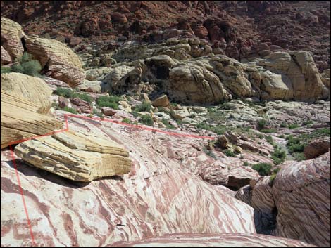
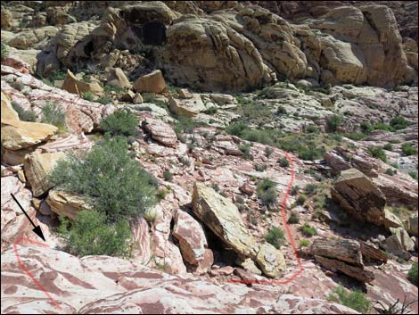
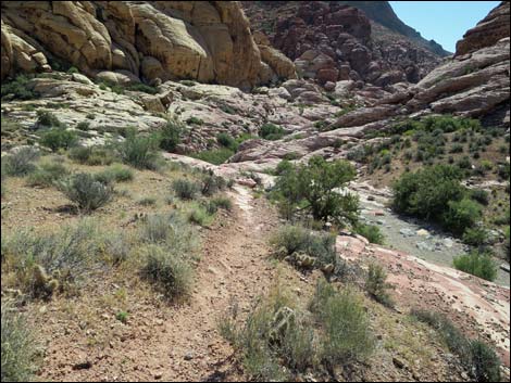
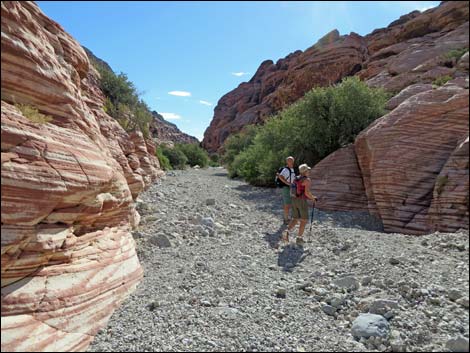
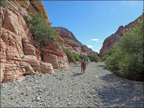
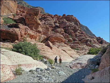
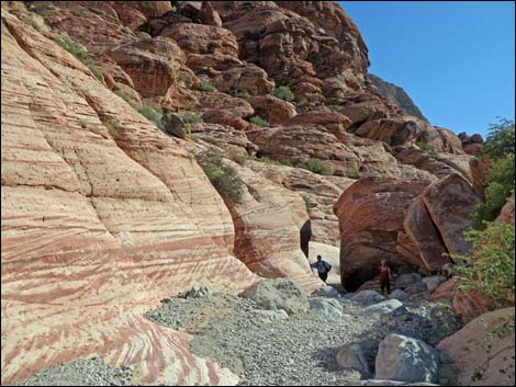
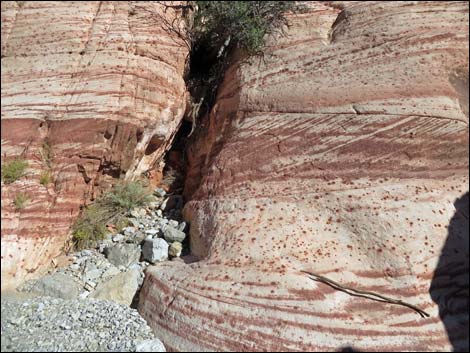
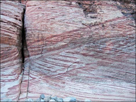
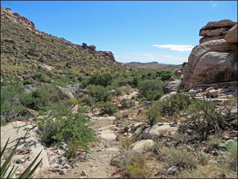
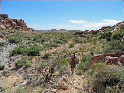
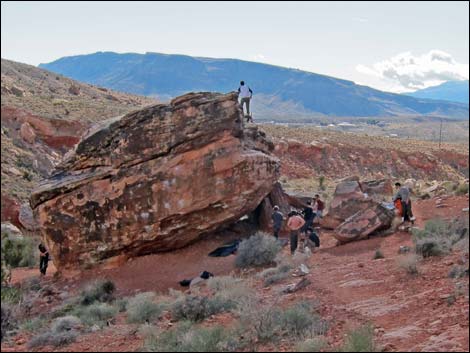
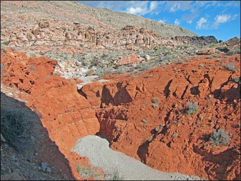
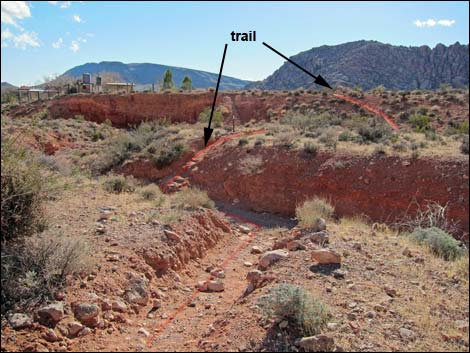
Eventually the canyon widens, and the wash spills out from the confining rock walls into the open desert (Wpt. 08). The route again picks up a use-trail and runs along the west (right) side of the wash, eventually wrapping around the toe of Kraft Mountain and starting back west towards the trailhead. Use-trails are proliferating in this area too, and at this point, the route always stays to the right. Not long after the use-trail begins curving to the south (Wpt. 09), the trail runs along a deep box canyon with interesting rock strata. At the first enormous rock-climber's boulder, it is worth taking a minute to walk over to the edge of the canyon and peer into the chasm. The route continues around the toe of Kraft Mountain, wandering through a scenic field of sandstone boulders that rolled down from the cliffs above. Watch for various lizards, Rock Wrens and other birds, plus bunches of rock climbers on the boulders. |
 |
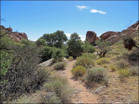
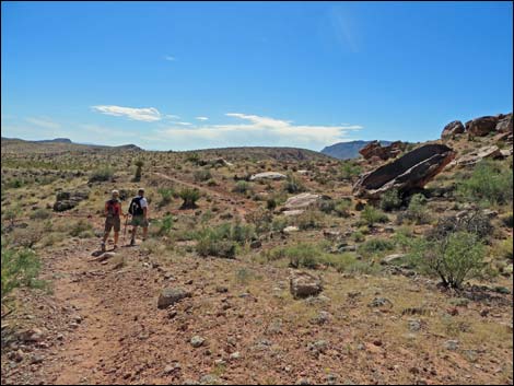
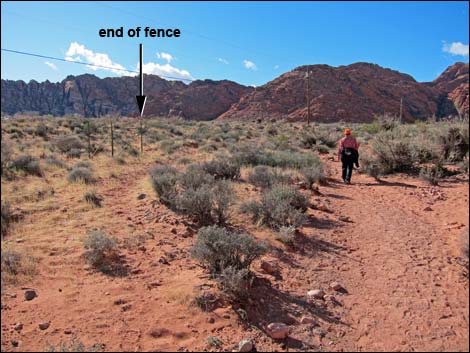
There are many use-trails in this area (the main trail divides and merges, and spur trails lead off to favorite climbing boulders). Hikers can follow any of the better developed use-trails, but in general, the main use-trails run east-west between the hillside to the north and a chain-link fence bordering private property to the south. Beyond the fence, the now well-marked trail bends left, crosses under powerlines, and angles towards the trailhead. A good landmark, which is visible from a long way off, is a house with elevated metal water tanks near the trailhead. Just north of that house, the use-trail crosses a deep ravine (Wpt. 10) and climbs out the other side. After crossing the ravine, the East Trailhead (Wpt. 11) is quite close and visible. |
 |
 |
 |
 |
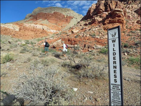 Hikers entering the La Madre Mountain Wilderness Area (view NW) |
 Hikers at the base of the hills (view NW) |
 Hikers starting up the hillside (view N) |
 Hikers passing trail junction on the left (view NW) |
 Side trail loops around Calico Basin (view W) |
 Hikers climbing steep hillside (view N) |
 Hikers climbing steep hillside (view N) |
 Hikers climbing steep hillside (view N) |
 Looking back into Calico Basin (view SW) |
 Hikers climbing steep hillside (view N) |
 Hikers climbing steep hillside (view N) |
 Hikers at the saddle (view N) |
 Saddle (view N) |
 Looking Back: hikers on the saddle (view S) |
 Hikers descending towards Gateway Wash (view N) |
 Hikers descending towards Gateway Wash (view N) |
 Hikers descending towards Gateway Wash (view N) |
 Hikers descending towards Gateway Wash (view N) |
 Hikers descending trail towards Gateway Wash (view NW) |
 Approaching Gateway Wash trail junction (view NW) |
 Hikers passing Kraft Mountain Loop trail junction (view NW) |
 Kraft Mountain Loop trail junction (view NE) |
 Descending towards Gateway Wash (view NE) |
 Approaching side trail left (view NE) |
 Side trail left (view NW) |
 Descending towards Gateway Wash (view NE) |
 Approaching Gateway Canyon (view NE) |
 Overlooking Gateway Canyon (view NE) |
 |
 |
 Hiker dropping into Gateway Canyon (view NE) |
 |
 |
 |
 |

|
 8-year-old hiker scrambling down into Gateway Canyon (view S) |
 Hiker after scrambling down into Gateway Canyon (view SW) |
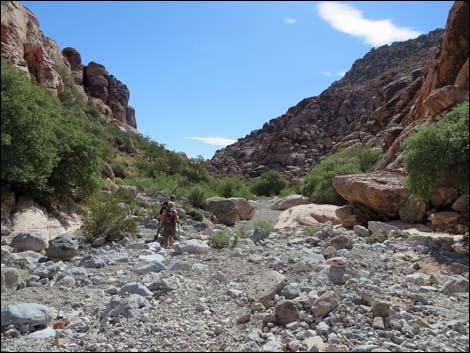
 Hikers starting down Gateway Canyon (view SE) |
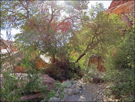
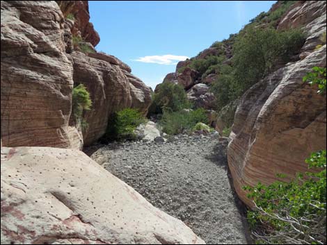
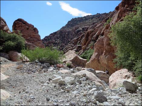
 Initially, Gateway Canyon is open (view SE) |
 |
 |
 |
 |
 |
 |
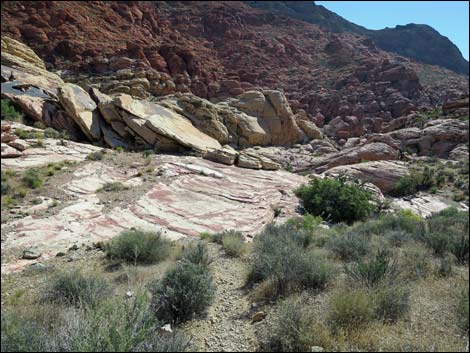
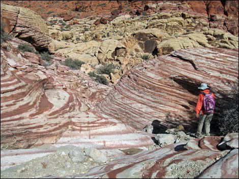
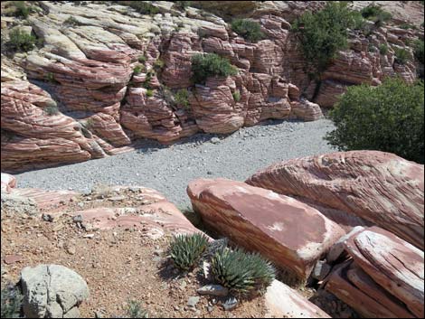
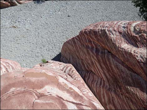
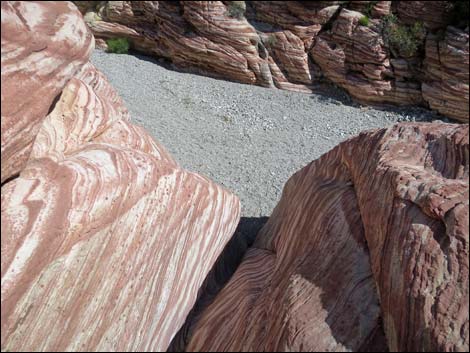
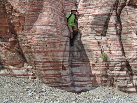
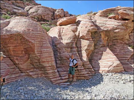
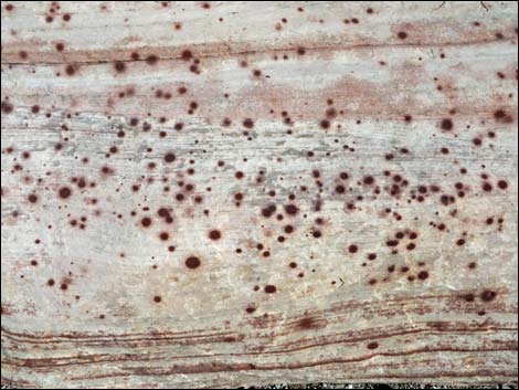
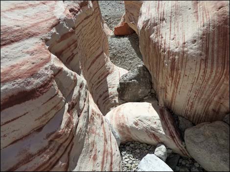
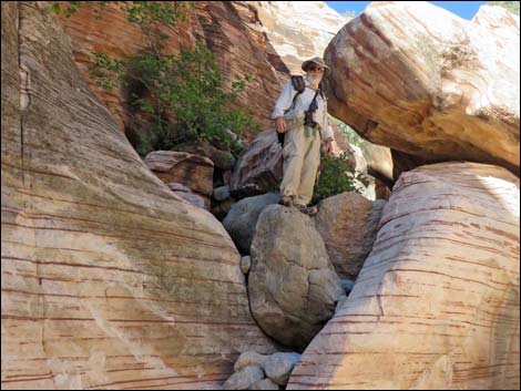
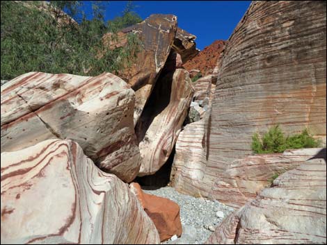
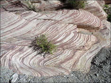
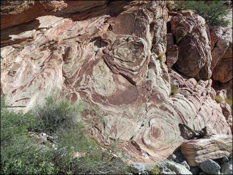
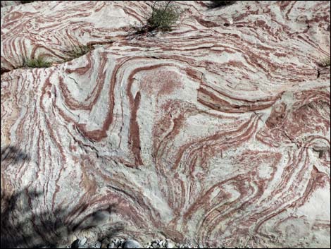
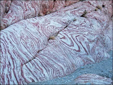 Wild patterns in the sandstone |
 Wild patterns in the sandstone |
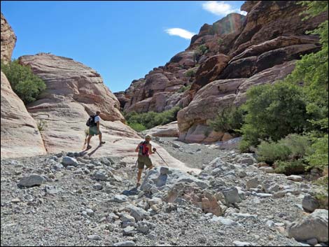
 Hikers approaching pour-over (view SE) |
 Top of pour-over (view SE) |
 Bypass pour-over under oak tree on the right (view SE) |
 Bypass pour-over under oak tree on the right (view E) |
 Looking back at hiker bypassing the Bypass pour-over (view NW) |
 Looking back at another pour-over (view NW) |
 |
 |
 |
 |
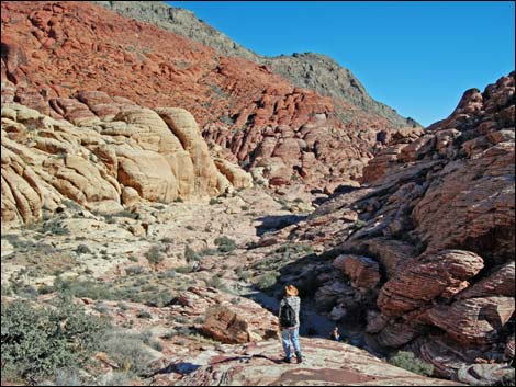
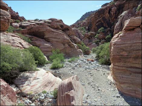 Gateway Canyon (view SE) |
 Hikers approaching another pour-over (view SE) |
 Top of another pour-over (view SE) |
 Looking back at hikers bypassing pour-over on north side (view NW) |
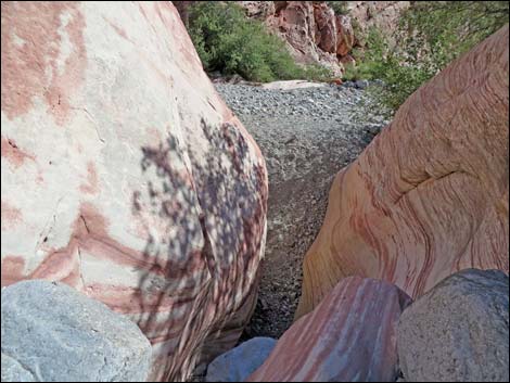
 Rock and water hazards in Gateway Cyn (view NW) |
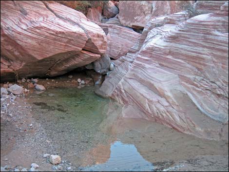 Rock and water hazards in Gateway Cyn (view NW) |
 |
 |
 |
 |
 |
 |
 Hikers in Gateway Canyon (view E) |
 Hikers exiting Gateway Canyon Wash to the right (view E) |
 Use-trail on south side of Gateway Canyon Wash (view SE) |
 Use-trail on south side of Gateway Canyon Wash (view SE) |
 Exiting Gateway Canyon (view SE) |
 Hikers above wash exiting Gateway Canyon (view SE) |
 Exiting Gateway Canyon (view SE) |
 Just outside Gateway Canyon (view SE) |
 Bending around the toe of Kraft Mtn (view S) |
 Use-trail passing the toe of Kraft Mountain (view S) |
 Climbers on first enormous boulder (view S) |
 Box canyon (view NE) |
 Agave roasting pit (sign: area closed; thoughtless climbers ignore) |
 Use-trail passing the toe of Kraft Mountain (view S) |
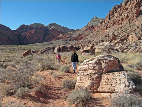
 Hikers exiting the wilderness area (view SW) |
 Hikers on the south side of Kraft Mountain (view SW) |
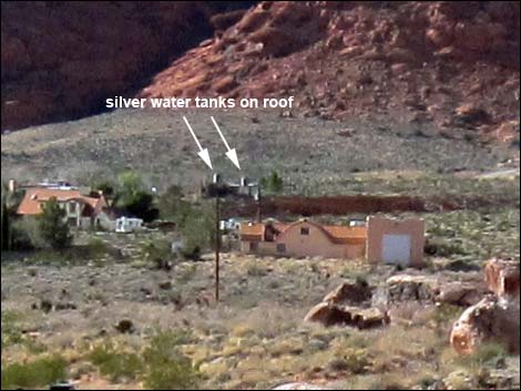 Landmark in the distance: galvanized water tanks on roof (view SW) |
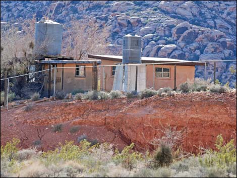 Close-up: galvanized water tanks on roof (view S) |
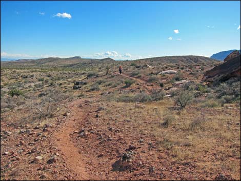
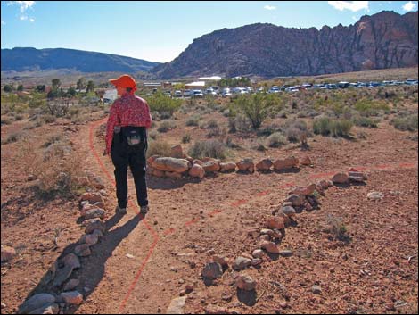
 Returning across desert flats (view W) |
 Returning across desert flats (view W) |
 Hiker between fence and boulders (view W) |
 Hiker passing the end of the fence (view W) |
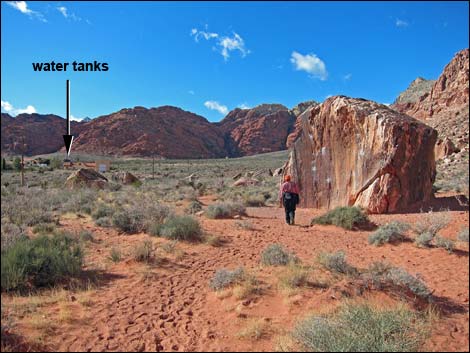
 Trail passing deep gully (water tanks in background; view S) |
 Hiker just past gully (view S towards trailhead parking) |
 Hikers approaching trailhead parking area (view S) |
 End of the trail: hikers at trailhead parking area (view W) |
Table 1. Hiking Coordinates and Distances based on GPS Data (NAD27; UTM Zone 11S). Download Hiking GPS Waypoints (*.gpx) file.
| Wpt. | Location | UTM Easting | UTM Northing | Elevation (ft) | Point-to-Point Distance (mi) | Cumulative Distance (mi) | Verified |
|---|---|---|---|---|---|---|---|
| 01 | Trailhead | 642105 | 4002299 | 3,710 | 0.00 | 0.00 | GPS |
| 02 | Trail Junction | 641897 | 4002521 | 3,728 | 0.20 | 0.20 | GPS |
| 03 | Trail Junction | 641779 | 4002770 | 3,822 | 0.18 | 0.38 | GPS |
| 04 | Trail Junction | 641534 | 4002941 | 3,996 | 0.21 | 0.59 | GPS |
| 05 | Saddle | 641585 | 4003313 | 4,299 | 0.26 | 0.85 | GPS |
| 06 | Trail Junction | 641461 | 4003575 | 4,209 | 0.19 | 1.04 | GPS |
| 07 | Gateway Canyon | 641662 | 4003746 | 4,041 | 0.19 | 1.23 | GPS |
| 08 | Exit Gateway Canyon | 643001 | 4002950 | 3,786 | 1.09 | 2.32 | GPS |
| 09 | Box Canyon Overlook | 643023 | 4002847 | 3,744 | 0.11 | 2.43 | GPS |
| 10 | Deep Gully | 642199 | 4002417 | 3,723 | 0.65 | 3.08 | GPS |
| 11 | East Trailhead | 642199 | 4002328 | 3,713 | 0.07 | 3.15 | GPS |
| 01 | Trailhead | 642105 | 4002299 | 3,710 | 0.07 | 3.22 | GPS |
Happy Hiking! All distances, elevations, and other facts are approximate.
![]() ; Last updated 240330
; Last updated 240330
| Hiking Around Red Rocks | Hiking Around Las Vegas | Glossary | Copyright, Conditions, Disclaimer | Home |