Backroads Around Las Vegas, Red Rock Canyon National Conservation Area
 West Charleston Blvd, approaching Calico Basin Road (view W) |
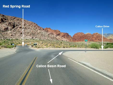
Overview Calico Basin Road, as described here, is the main paved road through the Calico Basin area. This is, however, somewhat confusing because it (the main road through Calico Basin) is a series of roads, two of which have similar names. The main paved road through the Calico Basin area starts as Calico Basin Road, then becomes Calico Drive, which connects with Assisi Canyon Ave, and finally ends as Sandstone Drive. Calico Basin Road provides access to the village of Calico Basin, the LaMadre Mountains Wilderness Area, numerous hikes, rock climbing areas, a developed picnic area, and lots of grand scenery. Calico Basin is inside Red Rock Canyon NCA, but not in the fee area, so access to the area and facilities is free. For photos of the return, see Returning down Calico Basin Road. Link to Road Map. |
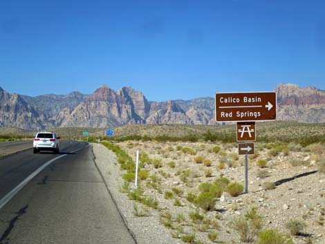
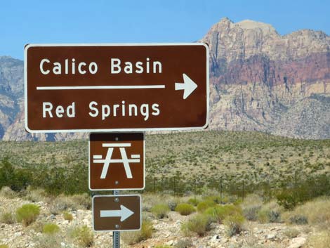 Highway sign: Calico Basin and Red Springs picnic area (view W) |
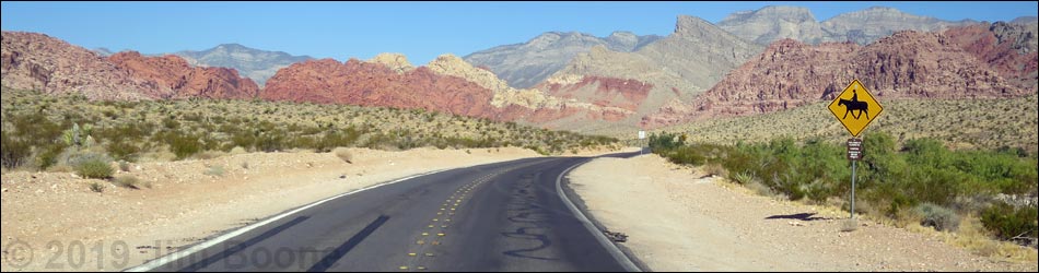
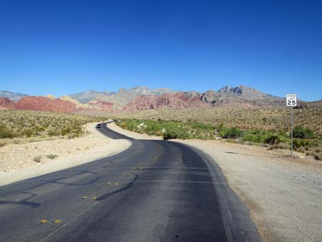
Watch Out Other than the standard warnings about driving in the desert, ...this is a fairly safe drive except that there are sharp curves, pedestrians, bicycles, small animals, horses, ATVs, seemingly blind drivers, and people stopping in the middle of the road to take pictures. The maximum speed limit is 25 mph. Drive slowly, enjoy the view, and pay attention to warning signs. While out, please respect the land and the other people out there, and try to Leave No Trace of your passage. Also, even though this road is short, be sure to bring what you need of the 10 Hiking Essentials. Getting to Calico Basin Road From Las Vegas, drive out West Charleston Blvd to Red Rock Canyon National Conservation Area. West Charleston passes the "Welcome to Red Rock Canyon" photo-op sign on the right, and then in about 1.4 miles, reaches Calico Basin Road (Table 1, Site 0520) on the right. |
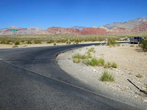
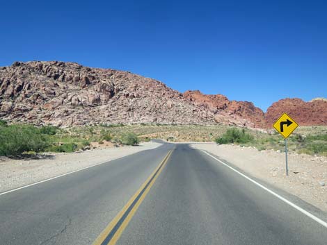
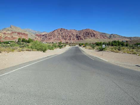
 West Charleston Blvd at Calico Basin Road (view W) |
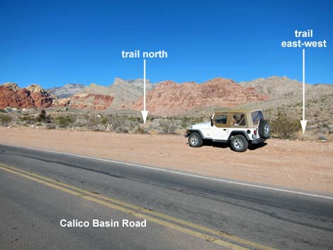
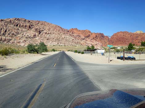
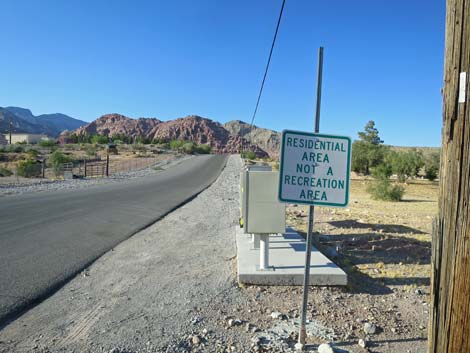
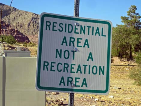
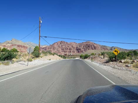
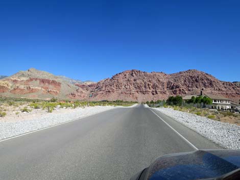
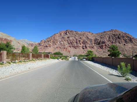
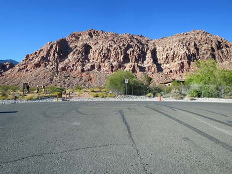
The Road From West Charleston Blvd, Calico Basin Road (Site 0520) branches to the right, crosses a cattle guard, and heads northwest out into the desert running parallel to Calico Wash. As the road approaches the first hills on the right, the road crosses Calico Basin Wash and arrives at Calico Wash Main Trailhead. Hikers park on both sides of the road here and hike up into the hills. The road bends a bit to the left, passes Calico Wash West Trailhead, and soon enters the village of Calico Basin. Calico Basin village is a small, rural community with lots of horses, dogs, children, and ATVs on the roads, so drive carefully. Most village streets are graded, but the first road on the right (Moreno Road) is paved. Note that a sign posed reads: Residential Area, Not a Recreation Area. Please respect the privacy and peace-and-quiet of the residents and stay off village roads. |
 Calico Basin Road (view NW from West Charleston Blvd) |
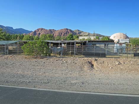
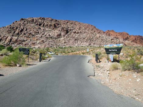
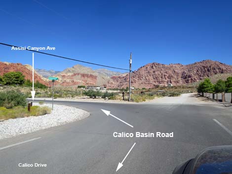
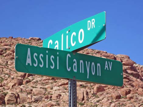
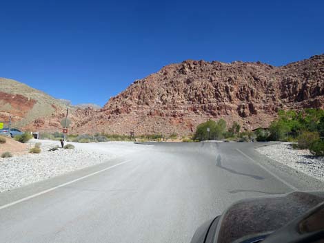
Continuing, Calico Basin Road passes Calico Creek Boarding Stables, (on the right) where horses in the yard can usually be seen. Just ahead, Calico Basin Road bends to the right and passes Red Spring Picnic Area and Trailhead, on the left. Note that Calico Basin Road does not stop here, so be careful if continuing straight into the picnic area because traffic from the right does not stop. Bending right, Calico Basin Road (now technically Calico Drive) runs north one city block and bends left (no stop signs). Bending left following the pavement, Calico Basin Road (now technically Assisi Canyon Ave), runs due west. In another city block, Calico Basin Road bends right and heads north. On this corner, hikers park on the outside shoulder, which is Assisi Trailhead. Now running due north again, Calico Basin Road (now technically Sandstone Drive) climbs over low hills, passes some big houses, and arrives at Kraft Mountain Trailhead, on the left, which is only a few yards before the end of the pavement at a turn-about loop. |
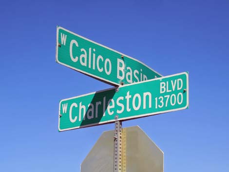 Street sign: Calico Basin Road and West Charleston Blvd |
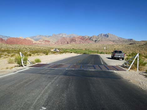 Calico Basin Road at a cattle guard (view N) |
 Calico Basin Road speed limit is 25 mph (view N) |
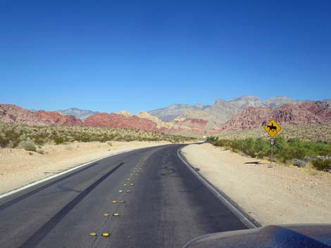 Watch for horses crossing the road (view NW) |
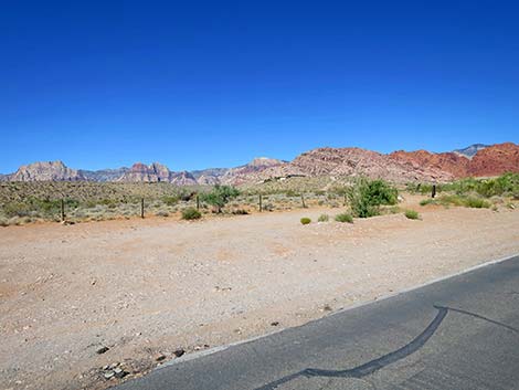
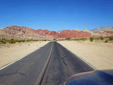
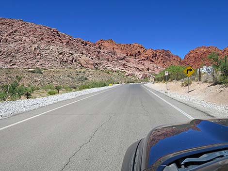
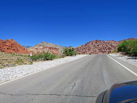
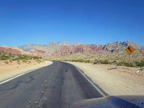 Calico Basin Road runs through gentle curves (view NW) |
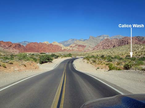 Calico Basin Road runs parallel to Calico Wash (view NW) |
 Calico Basin Road crosses Calico Wash (view NW) |
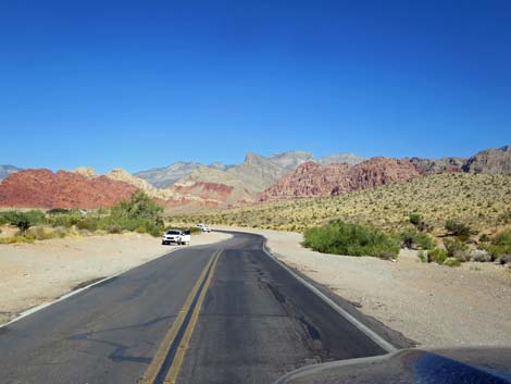
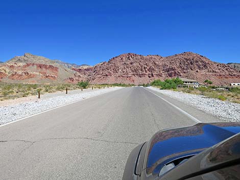
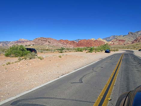 Calico Basin Road approaching Genes Trailhead -- west (view NW) |
 Calico Basin Road at Genes Trailhead -- west (view NW) |
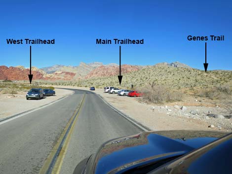 Calico Basin Road approaching main Genes Trailhead (view NW) |
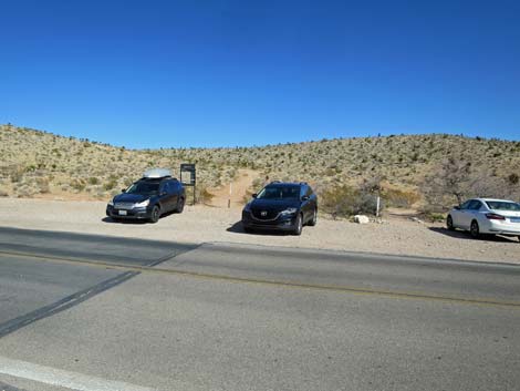 Calico Basin Road at Genes Trailhead (view N) |
 Calico Basin Road approaching Genes Trailhead (view W) |
 Calico Basin Road at the Genes Trailhead (view W) |
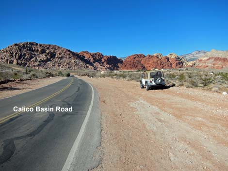
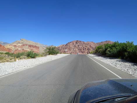
 Calico Basin Road (view W) |
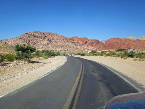 Calico Basin Road approaching Calico Basin Village (view W) |
 Calico Basin Road at Moreno Road (view W) |
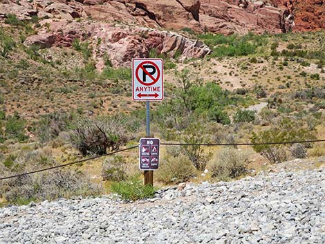
 Sign on Moreno Road (view N from Calico Basin Road) |
 Moreno Road sign: Residential Area, Not a Recreation Area |
 Calico Creek Boarding Stables (view N from Calico Basin Road) |
 Calico Basin Road (view W) |
 Calico Basin Rd bends right; Red Spring Trailhead on the left (view W) |
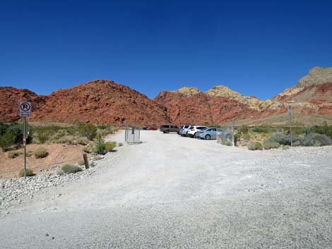
 Red Spring Trailhead Road (view W from Calico Basin Road) |
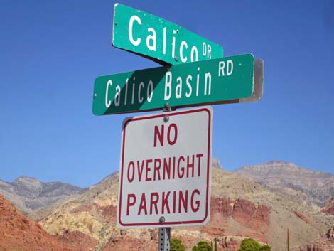 Street sign: Calico Basin Road at Calico Drive (view NW) |
 Calico Basin Road (technically Calico Drive; view N) |
 Calico Basin Road (technically Calico Drive; view N) |
 Calico Basin Road bends left (view N) |
 Street sign: Calico Drive at Assisi Canyon Ave (view SW) |
 Assisi Canyon Ave (view W) |
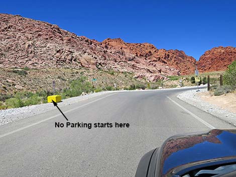 Assisi Canyon Ave -- no parking on curve (view W) |
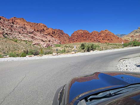 Assisi Canyon Ave bends right onto Sandstone Drive (view W) |
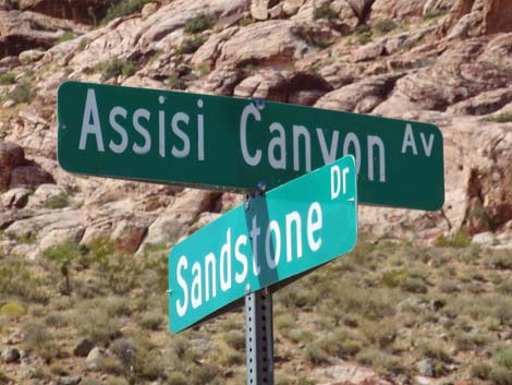 Street sign: Assisi Canyon Ave at Sandstone Drive (view SW) |
 Sandstone Drive with "no parking" signs (view N) |
 One of several "No Parking" signs on Sandstone Drive (view W) |
 Legal parking on Sandstone Drive (view W) |
 Calico Basin Road (technically Sandstone Drive; view N) |
 Big house along Calico Basin Road (view N) |
 Walls to keep us out along Calico Basin Road (view N) |
 Calico Basin Road approaching Kraft Mountain Trailhead (view N) |
 Kraft Mountain Trailhead parking (view W from Calico Basin Road) |
 End of Calico Basin Road (view N) |
Table 1. Highway Coordinates based on GPS data (NAD27; UTM Zone 11S). Download Highway GPS Waypoints (*.gpx) file.
| Site | Location | UTM Easting | UTM Northing | Latitude (N) | Longitude (W) | Elevation (ft) |
|---|---|---|---|---|---|---|
| 0520 | Hwy 159 at Calico Basin Rd | 36.14165 | 115.39863 | 3,506 | 0.00 | 0.00 |
| 1372 | Calico Wash Main TH Parking | 36.14591 | 115.40377 | 3,514 | 0.41 | 0.41 |
| 1387 | Calico Wash West TH Parking | 36.14717 | 115.40768 | 3,544 | 0.24 | 0.65 |
| 0464 | Red Spring Trailhead Parking | 36.14646 | 115.41822 | 3,670 | 0.50 | 1.15 |
| 1036 | Assisi Rd Trailhead Parking | 36.14951 | 115.41911 | 3,620 | 0.24 | 1.39 |
| 0971 | Kraft Mountain Trailhead Parking | 36.15668 | 115.41999 | 3,711 | 0.52 | 1.91 |
Happy Hiking! All distances, elevations, and other facts are approximate.
![]() ; Last updated 240330
; Last updated 240330
| Backroads | Hiking Around Las Vegas | Glossary | Copyright, Conditions, Disclaimer | Home |