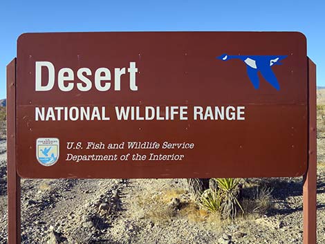
Backroads Around Las Vegas, Desert National Wildlife Refuge
previous section | next section
 |
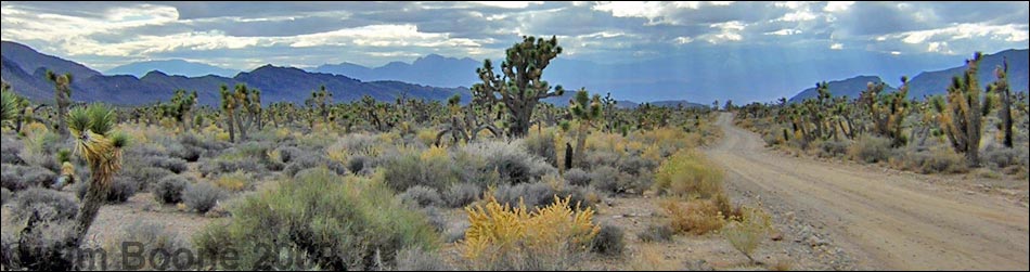
Overview The Mormon Well Road is a long, rough, dirt road that runs across the Desert National Wildlife Refuge from Corn Creek to Highway 93. The road runs across the desert and over the mountains through spectacular country, including towering limestone cliffs; broad, flat valleys; and narrow, winding canyons. The road runs through several desert vegetation life zones, starting in the very dry (stunted) Mojave Desert Scrub Zone and climbing to the Yellow Pine (Ponderosa Pine) Zone. The variety of life zones provides different habitats for birds and other wildlife. Details of the road (including GPS coordinates and maps) are presented on the Mormon Well Road webpage. Here photos show scenery and road conditions from Sawmill Canyon to Highway 93, that is, from about 33 to 47 miles out. |
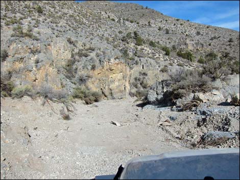
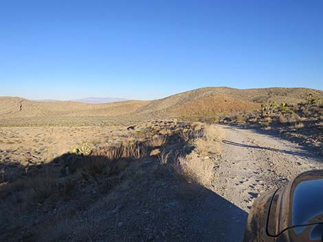
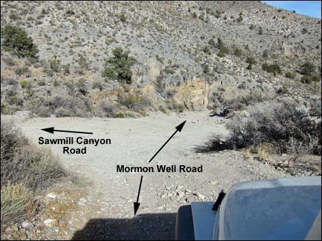 Second (main) turnoff to Sawmill Canyon Road (view N) |
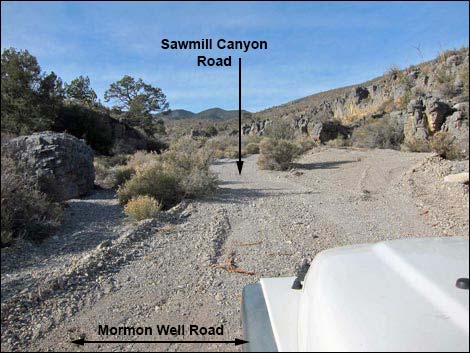 Looking up Sawmill Canyon Road (view W) |
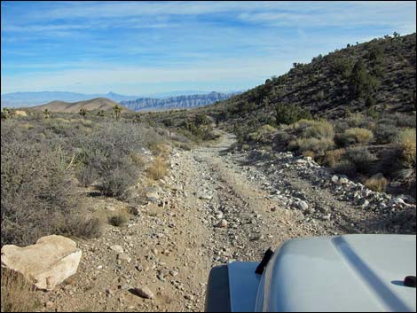
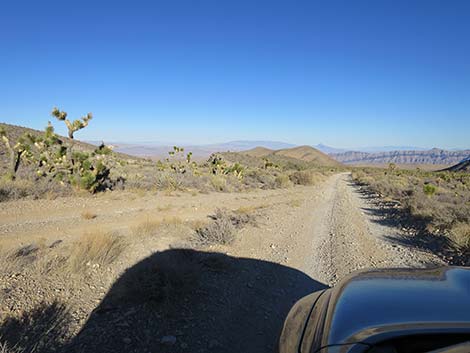
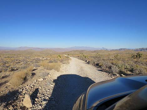
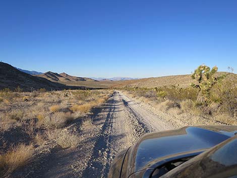
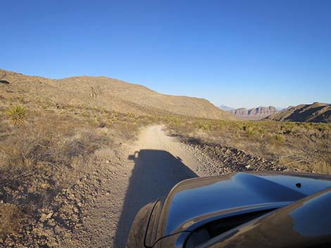
 Road follows main wash below Sawmill Canyon Road (view N) |
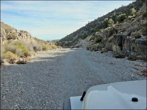 Road follows main wash below Sawmill Canyon Road (view E) Road follows main wash below Sawmill Canyon Road (view E) |
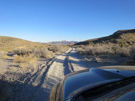
 Road departs main wash (view E) |
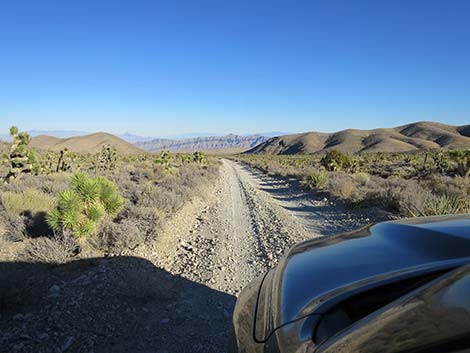
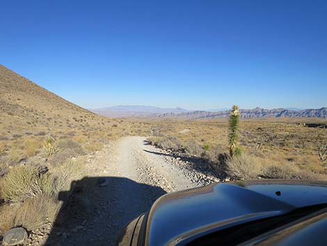
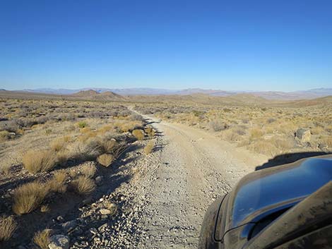
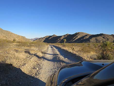
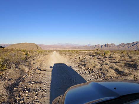
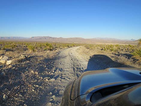
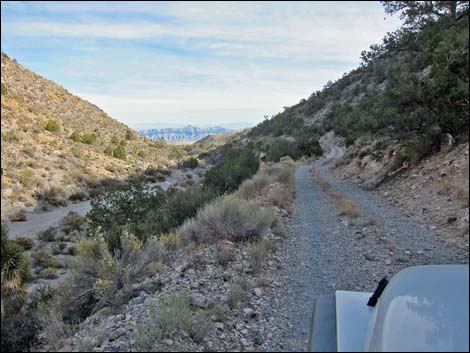 Road runs across hillside (first view E to Arrow Canyon Range) |
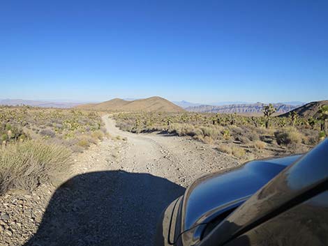
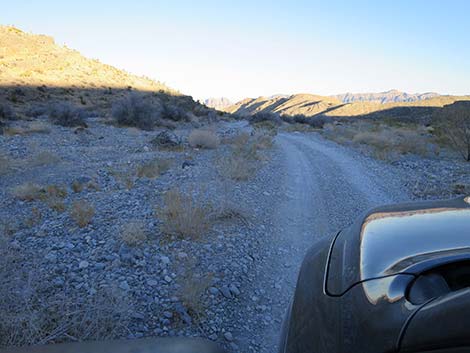
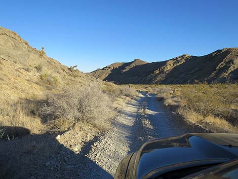
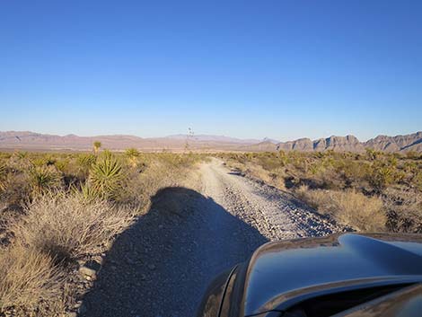
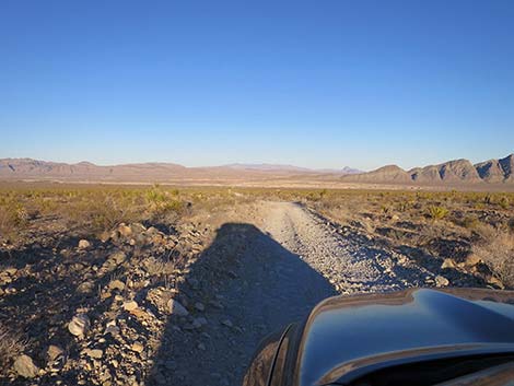
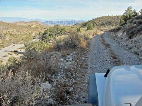 Road runs high above canyon bottom (view E) |
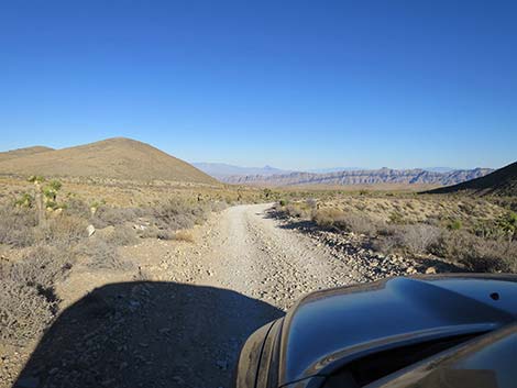
 Road becomes rough (view E) |
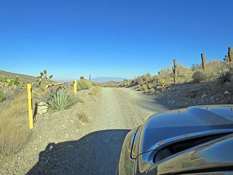 Gate on south side of washout areas (view E) |
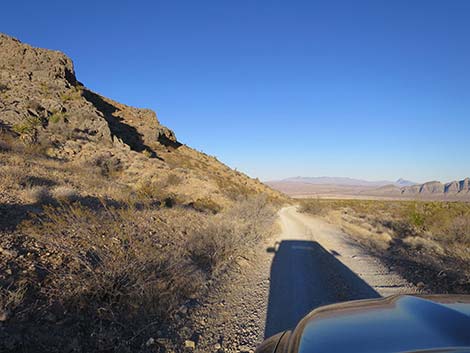
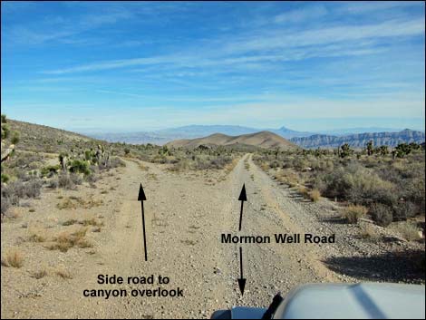 Turnoff to short side road to Canyon Overlook (view E) |
 Parking area for Canyon Overlook (view N) |
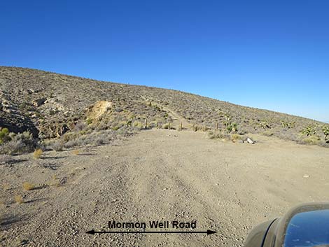
 Overlook road returning to Mormon Well Road (view E) |
 |
 |
 The road enters the 2005 fire zone (view E) |
 Not much survived the 2005 fire (view E) |
 |
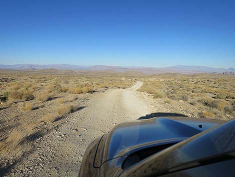 |
 Grand, open country where little survived the 2005 fire (view N) |
 Open country where a few Joshua trees survived the fire (view N) |
 |
 |
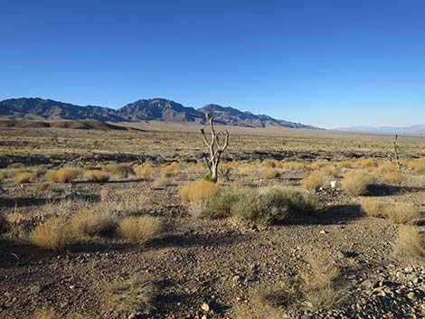
 Some patches of vegetation survived the 2005 fire (view E) |
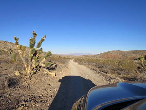
 Climbing over a low ridge (view E) |
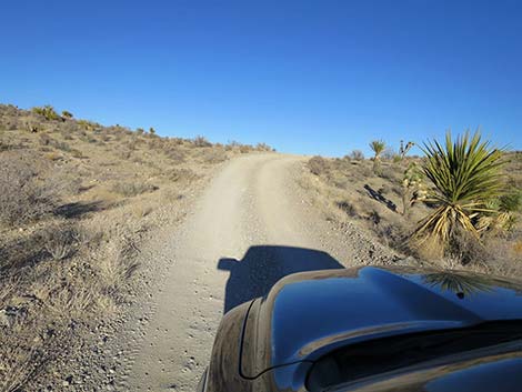
 Descending into Elbow Canyon (view E) |
 Descending Elbow Canyon (view N) |
 Crossing Elbow Canyon Wash (view E; subject to washout) |
 Crossing Elbow Canyon Wash (view E; subject to washout) |
 |
 |
 Descending along hillsides in Elbow Canyon (view E) |
 Descending along hillsides in Elbow Canyon (view E) |
 |
 |
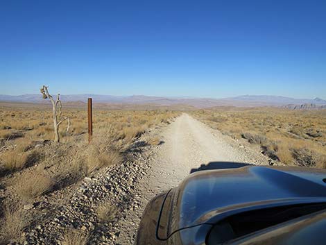
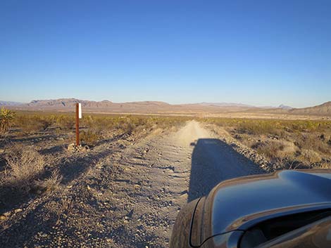
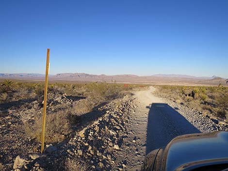 Approaching a road sign (view E) |
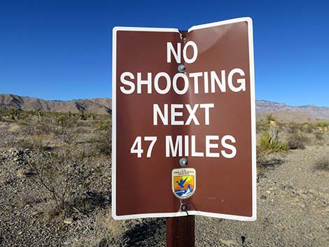
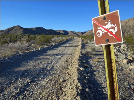 Road sign (looking back; view W) |
 Approaching a road sign (view E) |
 Road sign (looking back; view W) |
 Approaching a road sign (view E from behind) |
 Road sign (view W; looking back) |
 |
 |
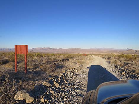
 Approaching a road sign (view E from behind) |
 Road sign (view W; looking back) |
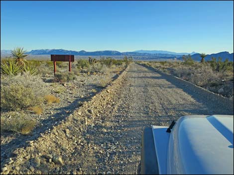
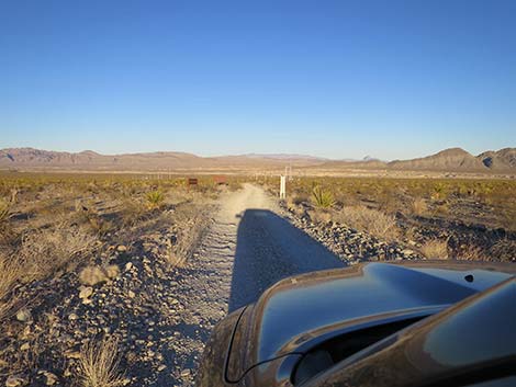 Approaching a road sign (view E from behind) |
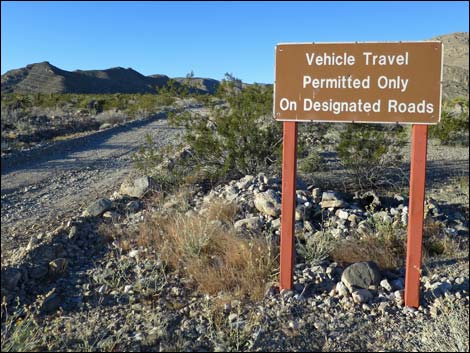
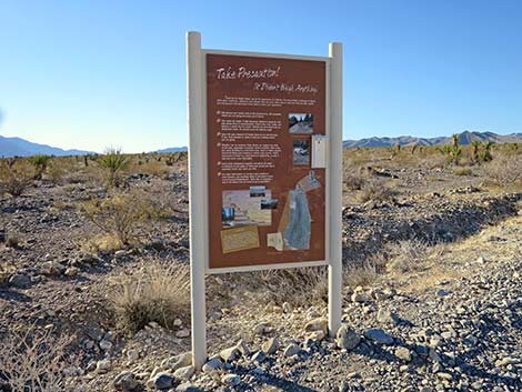 Information kiosk sign (view W; looking back) |
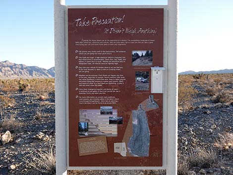 Information kiosk sign (view W; looking back) |
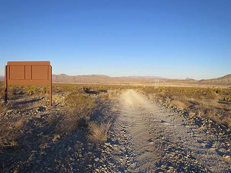 Approaching a road sign (view E from behind) |
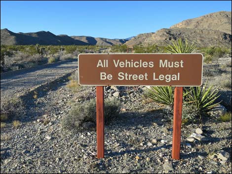
 Entrance sign (view W; looking back) |
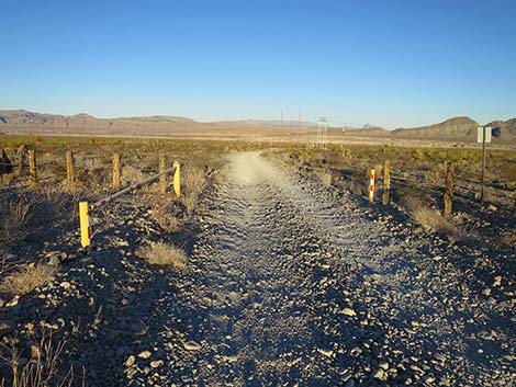 Approaching the gate (view E) |
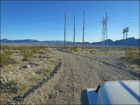 Approaching power substation (view E) |
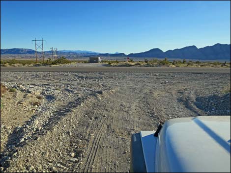
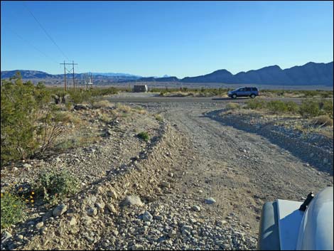 Approaching Highway 93 (view E) |
 Mormon Well Road at Highway 93 (view E) |
 More to come ... |
Happy Hiking! All distances, elevations, and other facts are approximate.
![]() ; Last updated 240324
; Last updated 240324
| Mormon Well Road | Backroads | Hiking Around Las Vegas | Glossary | Copyright, Conditions, Disclaimer | Home |