Hiking Around Las Vegas, Red Rocks National Conservation Area
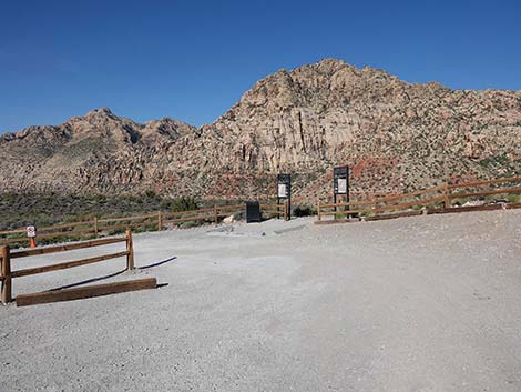
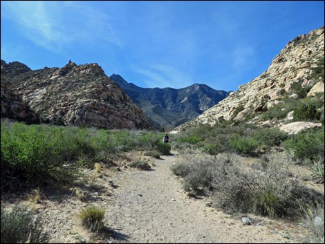
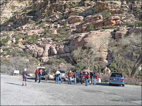 Hikers at Willow Springs Trailhead (view NE) |
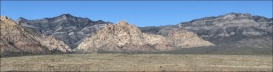
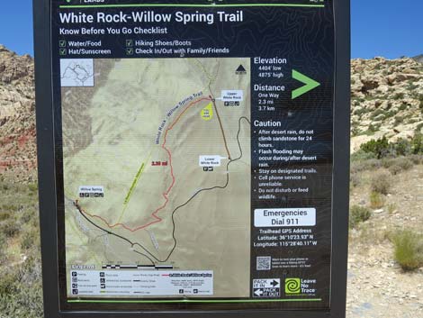
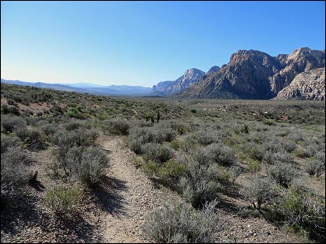
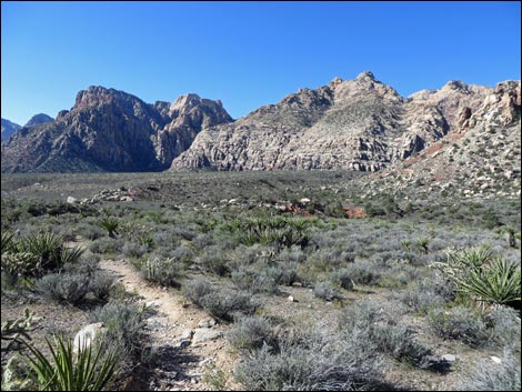
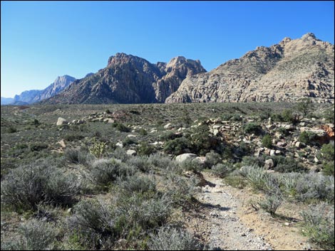
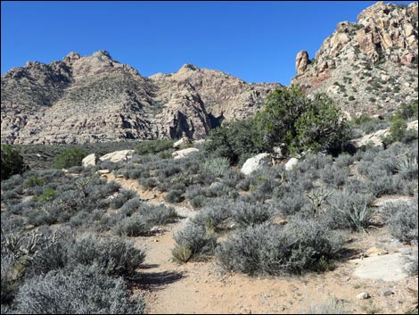
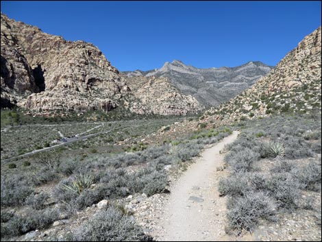
Overview This well-maintained trail makes a 6.3-mile loop around the White Rock Hills. Along the way, the trail passes through a variety of vegetation zones, provides grand views out across Red Rock Valley, displays particularly interesting geology, and visits several archeological sites. West of the White Rock Hills, the trail follows Red Rock Wash past Willow Springs and "lush" riparian vegetation. North of the Hills, the trail runs up a canyon between the White Rock Hills and the La Madre Mountains where the vegetation is typical of higher-elevation Pinyon-Juniper Woodlands. East and south of the hills, the trail traverses a dry bajada with vegetation typical of the Mojave Desert Scrub. Overall, this is an interesting hike through some beautiful country. As described here, the White Rock Loop starts at Willow Springs and runs north before turning right around the north side of the White Rock Hills and making the loop in a clockwise direction. For hikers going in the other direction, see the White Rock Loop Trail - Counter-Clockwise route description. |
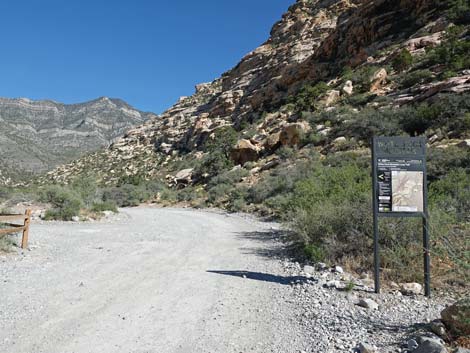
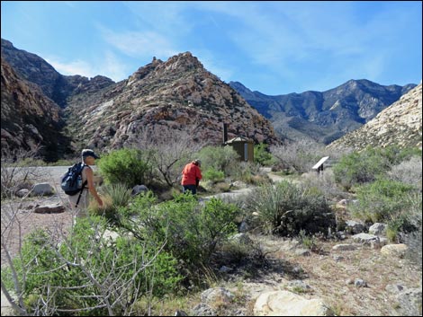
 The trail starts past the LaMadre Trailhead sign (view NW) |
Link to map or elevation profile. Link to BLM Georeference PDF map file. Watch Out Other than the standard warnings about hiking in the desert, ...this is a fairly safe hike. Water is available at White Rock Spring and at Willow Springs, so hikers might want to bring a water filter rather than carry enough water for the entire loop. The entire loop might be a bit long for kids, but otherwise this is a good trail for kids. While hiking, please respect the land and the other people out there, and try to Leave No Trace of your passage. Also, this is a fairly long hike, so be sure to bring the 10 Essentials. The trail runs up into the La Madre Mountain Wilderness Area, so pay particular attention to respecting the land. |
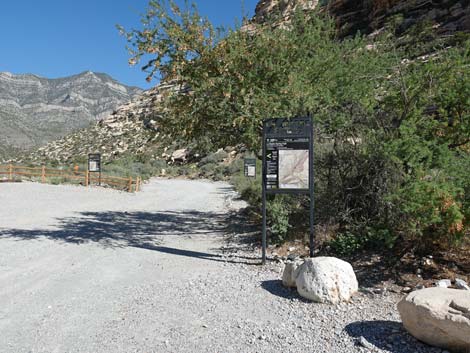
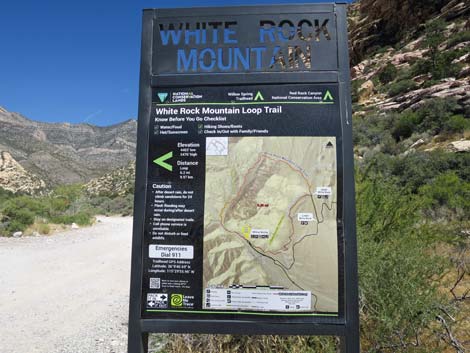
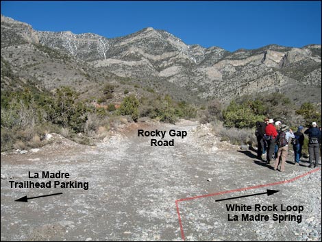
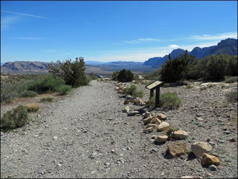
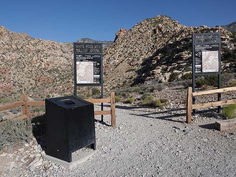
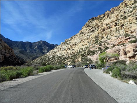
 Rocky Gap Road at White Rock Mountain Trailhead sign (view NW) |
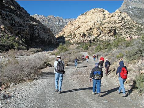
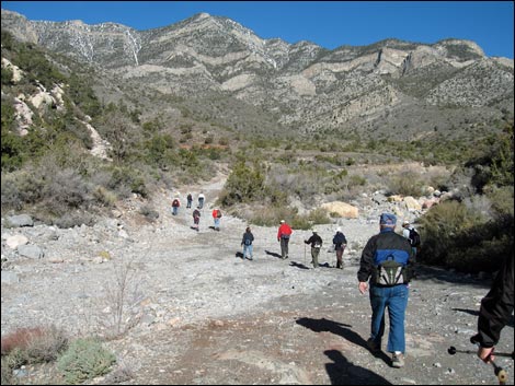
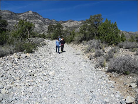
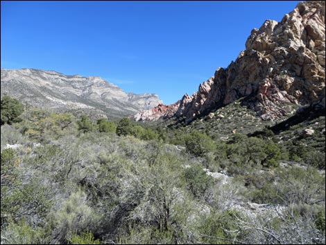
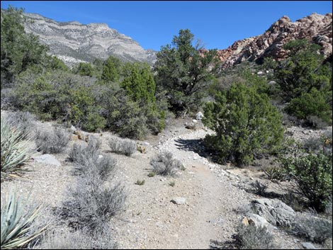
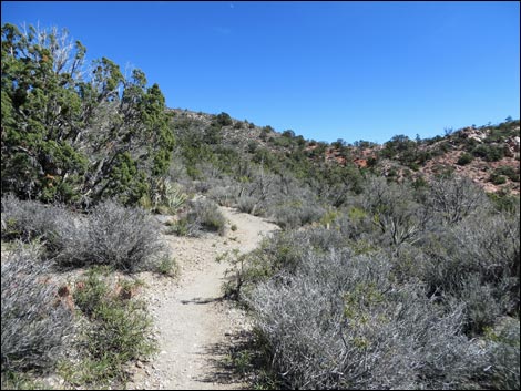
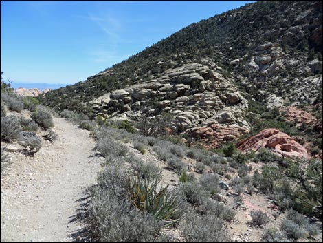
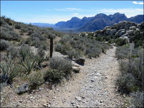
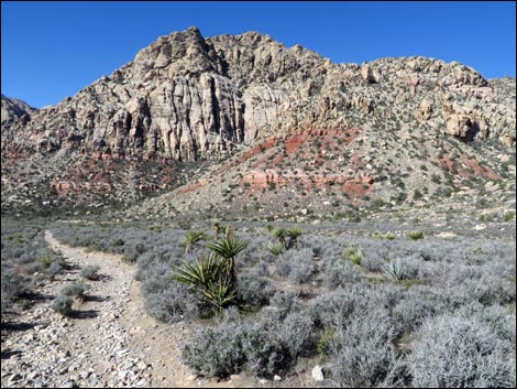
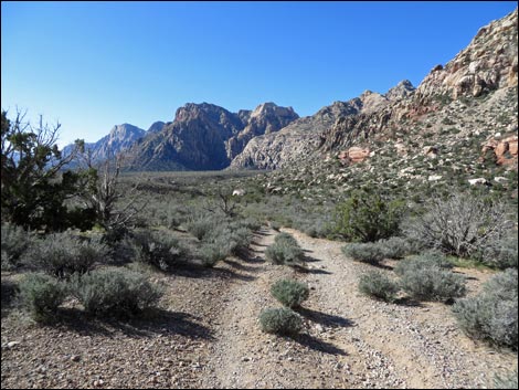
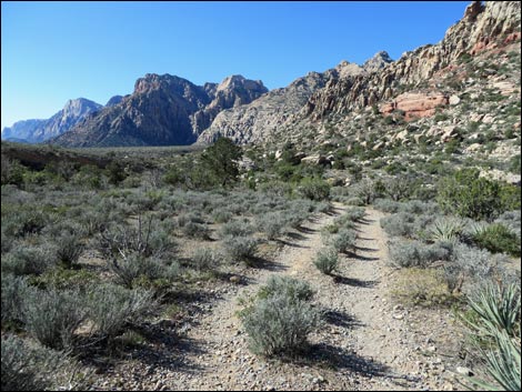
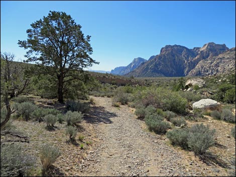
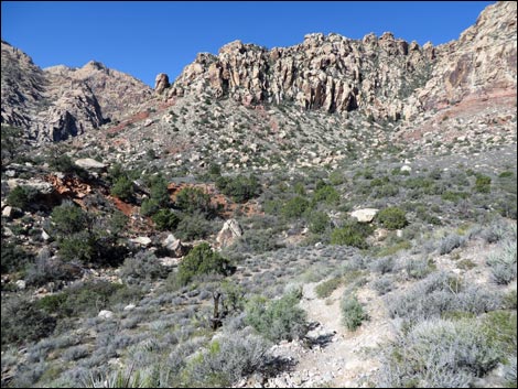
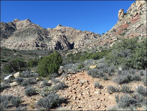
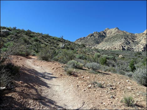
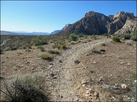
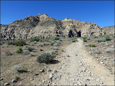
Getting to the Trailhead This hike is located along the Scenic Loop Road in Red Rock Canyon National Conservation Area, about 1 hour west of Las Vegas. Drive out to Red Rocks, pay the fee, and drive about half-way around the Scenic Loop Road to White Rock Trailhead or Willow Spring Trailhead. Park here or there; these are the trailheads. The Hike From Willow Springs Picnic Area (Table 1, Waypoint 01), the trail runs north on the unpaved Rocky Gap Road, parallel to Red Rock Wash. To the left are Red Rock Wash and the Red Rocks Cliffs (red-and-white banded sandstone that formed about 135 million years ago; MYA). To the north is the La Madre Range (gray limestone that formed about 400 MYA), and to the right are the White Rock Hills (mostly white sandstone that formed about 135 MYA). Running up the canyon, the road passes ancient kitchen sites (agave roasting pits) and eventually crosses Red Rock Wash (Wpt. 02). |
 White Rock Mountain Trailhead sign (view NW) |
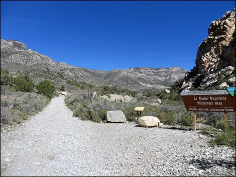
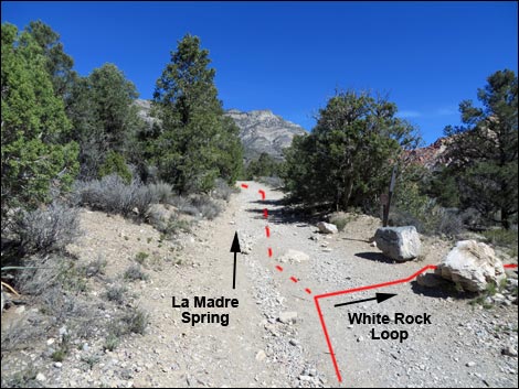
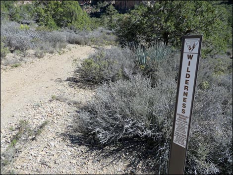
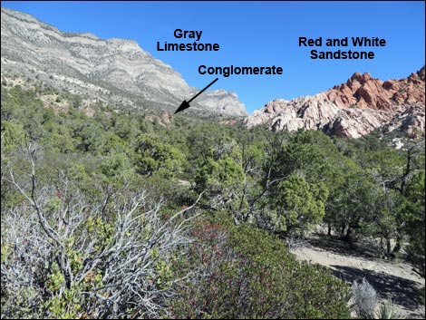
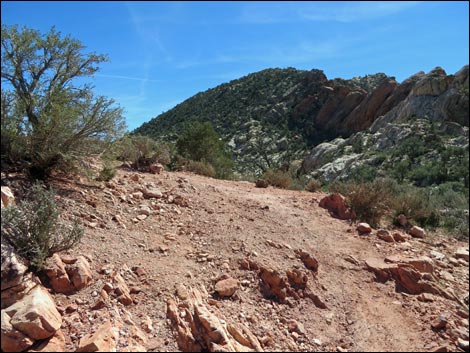
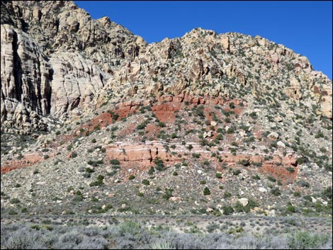
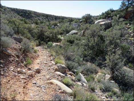
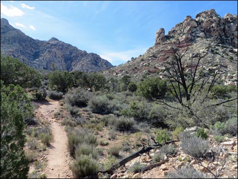
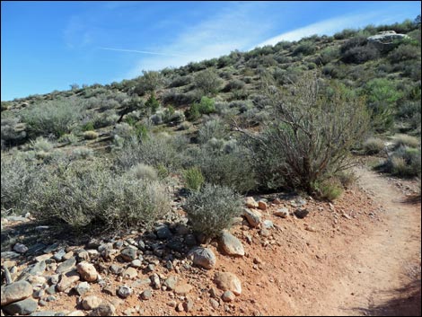
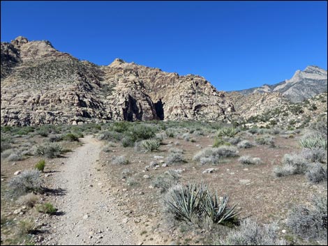
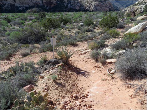
Continuing across the wash and up the other side, the hike follows the road for another 500 feet to the La Madre Trailhead parking, on the left. At that point, the hike leaves Rocky Gap Road, turning right onto the La Madre Spring-White Rock Loop Trail (Wpt. 03). A few yards farther, a sign announces entrance into the La Madre Mountain Wilderness Area, and from there, the trail follows an old road northward. On the old road, the trail climbs at a fairly steep grade before turning east and leveling out considerably. In this area, the trail runs through a geologically interesting valley where the sides of the valley are faulted, tilted, and twisted. The White Rock Hills are geologically young sandstone, and the La Madre Range is geologically old limestone. The limestone formed in the bottom of the ocean, but geologic forces pushed it up above sea level. As the ocean receded and the land dried out, rivers deposed silt and gravel in a delta, but they too eventually dried up. The area became a desert (much like the Sahara Desert in Africa) with huge sand dunes covering vast area of land. Over time, sand dunes were covered by more sand dunes, and eventually the ones on the bottom solidified into sandstone. |
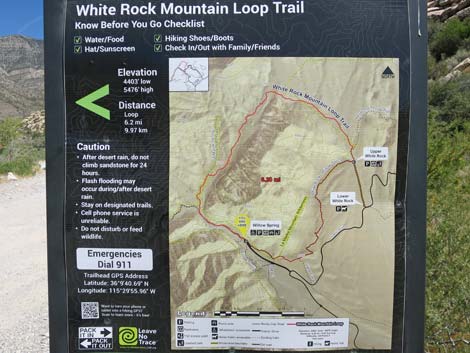 White Rock Loop Trail map (view NW) |
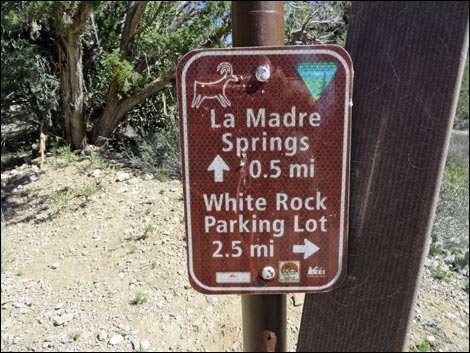
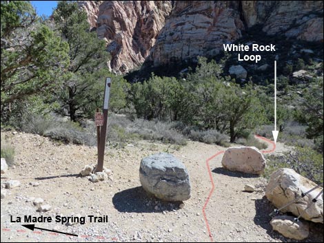
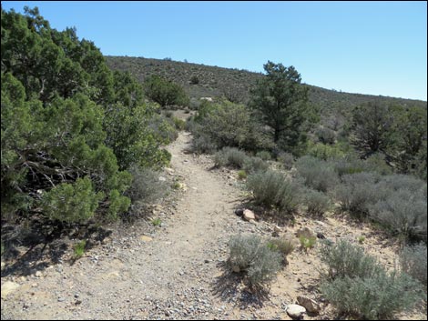
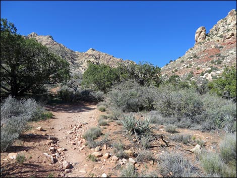
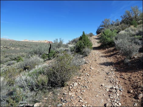
After the sandstone formed, geologic forces cracked the surface of the earth and pushed the older limestone mountains up and over the younger sandstone (thrust faulting), resulting in an unusual situation where older rocks lie on top of younger rocks. Over time, much of the limestone and some of the sandstone eroded away, leaving the landscape as we see it today. The valley is also interesting because it is heavily forested (at least for a desert) with many singleleaf pinyon pine and Utah juniper trees, which is unusual for this low-elevation desert area. This vegetation is typical of the Pinyon-Juniper Woodland, but the forest here is particularly dense with lots of desert shrubs between the trees. After following the old road for about 0.5 miles, the trail reaches a junction (Wpt. 20). Here, the La Madre Spring Trail continues left up the old road, while the White Rock Loop Trail turns right and runs south towards Red Rock Wash. |
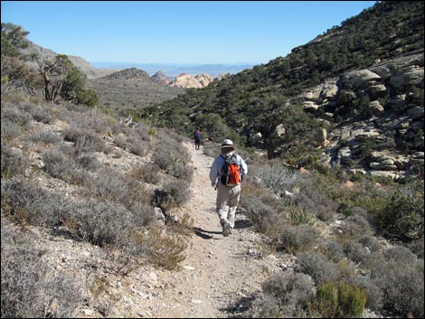
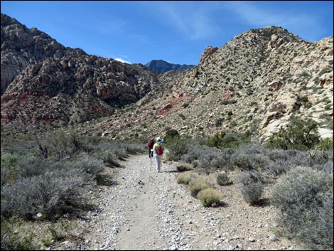
 Hikers on Rocky Gap Road (view NW) |
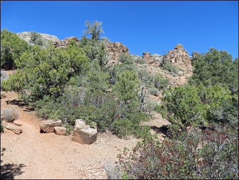
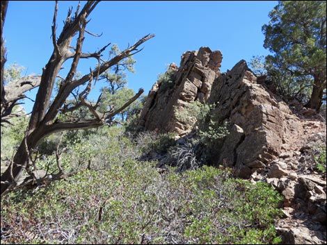
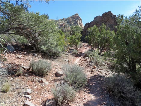
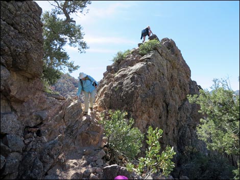
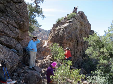
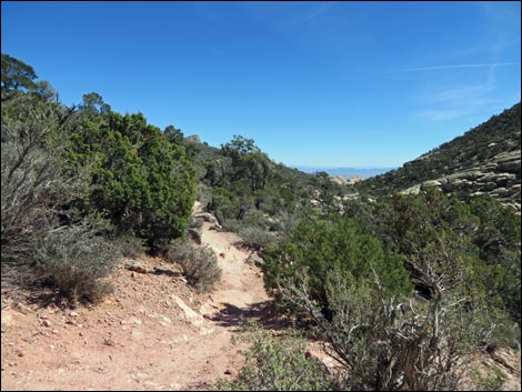
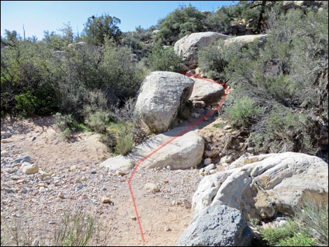
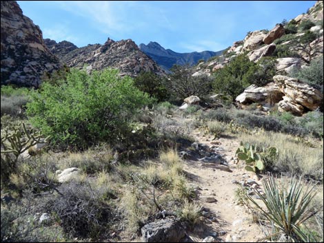
From the junction (Wpt. 20), the White Rock Loop Trail runs on an old road for a few minutes and curves left, but the road quickly ends, and the rest of the hike follows a foot trail. About 0.24 miles past the La Madre-White Rock junction, the trail reaches another trail junction (Wpt. 21). Here, a side trail goes left up to La Madre Spring, while the White Rock Loop Trail continues straight. Eventually the trail winds among some odd boulders (Wpt. 22 to Wpt. 23) that stick up out of the ground. Looking closely, the boulders are composed of polished gravels: these are the gravel beds left behind in the drying delta, although here they have been tilted on their side. Some parts of this valley are dry, but as the trail approaches the top of the canyon, the vegetation becomes progressively more lush. The pinyon pines near the top of the canyon grow relatively tall and straight, and they even start to look like real pine trees (at least for a desert). |
 Rocky Gap Road at Red Rock Wash (view NW) |
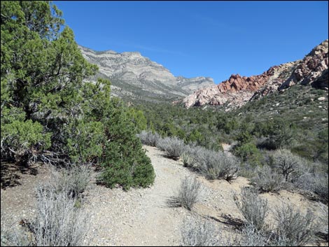
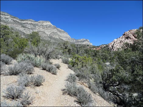
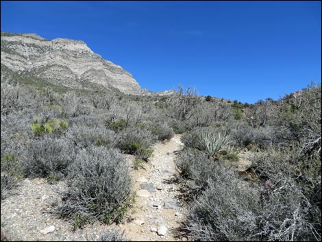
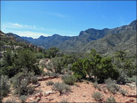
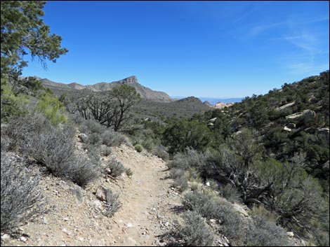
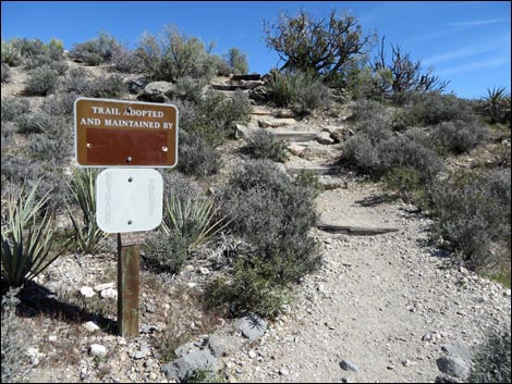
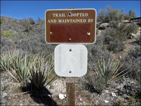
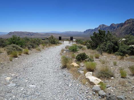
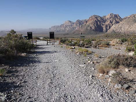
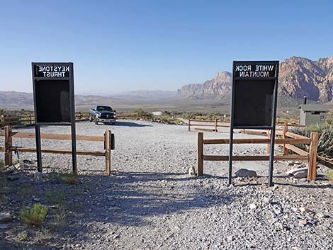
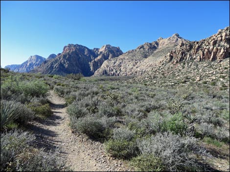
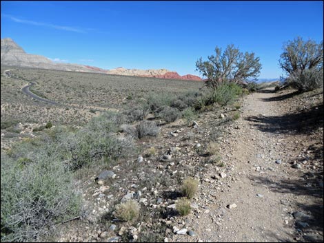
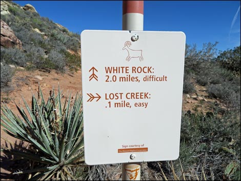
The trail climbs onto a saddle between White Rock Hills and La Madre Mountain (Wpt. 24) with nice view back down Red Rock Canyon. After passing the saddle, the vegetation quickly reverts to more-typical Mojave Desert Scrub, although even here the shrubs are fairly dense and much of the ground surface is covered with vegetation. Beyond the saddle, the trail runs downhill at a fair grade and hikers get great sweeping views to the east (towards Turtlehead Peak, Blue Diamond Hill, and Las Vegas). At a signed trail junction (Wpt. 27), the Keystone Thrust Trail turns left and runs east to a place where hikers can touch the Keystone Thrust (the contact between gray limestone rock overlying red sandstone). Continuing downhill a few minutes farther, the trail reaches White Rock Trailhead (Wpt. 29). Use the restroom if necessary, then exit the parking area to the west (not down the road) by another set of trailhead signs (Wpt. 30). |
 Hikers departing Rocky Gap Road (view NW) |
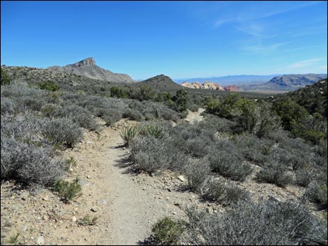
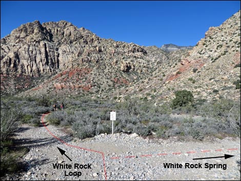
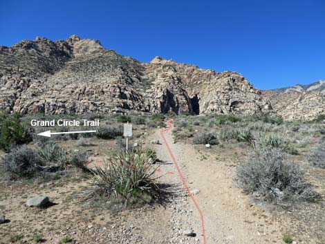
From the White Rock Trailhead (Wpt. 30), the trail runs west and down the hill towards White Rock Spring, which is about 5 minutes out. At a fork (Wpt. 31), the White Rock Spring Trail goes right a few yards to the spring. Visit the spring if desired, then either backtrack to this point and continue hiking southwest, or take the detour trail to enjoy White Rock Spring and avoid backtracking. The White Rock Loop Trail descends the bajada through nice stands of buckhorn cholla and eventually drops into, and crosses, a major wash. From the wash, trail continues west as if to circle around the base of the White Rock Hills, but it hits a switchback (Wpt. 36) and turns back to the east. the trail climbs onto a bench and circles around to the west again. The trail reaches another trail junction (Wpt. 37) at the south-most point of the White Rock Hills. Here, the Grand Circle Trail turns left, while the hike continues to the right. |
 Trail leaving Rocky Gap Road (view north) |
The trail curves around to the northwest and drops back into Red Rock Canyon, touching the bottom near the Lost Creek Trailhead at a trail junction with the Willow Springs Loop Trail (Wpt. 38). Continuing north, the trail runs up the canyon where historically it has been easy to spot Bighorn Sheep. The trail passes an archeological site with an agave roasting pit (Wpt. 39) and some rock art (painted hands), which are described for the Willow Springs Loop Trail, at the south end of the Willow Springs Picnic Area (Wpt. 40). Wandering up through the picnic area, the hike passes the restrooms and returns to the trailhead (Wpt. 01). |
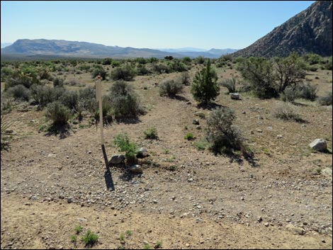
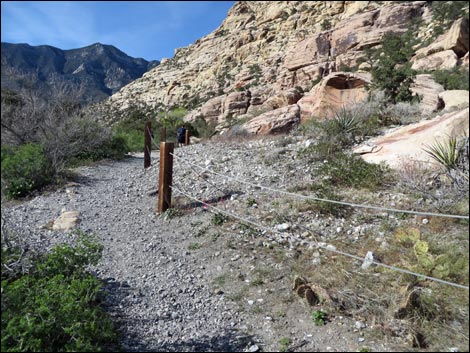
 Entering La Madre Mountain Wilderness Area (view NE) |
 Hikers on the steep part (view N) |
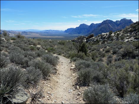
 Grand view up Red Rock Canyon (view NE) |
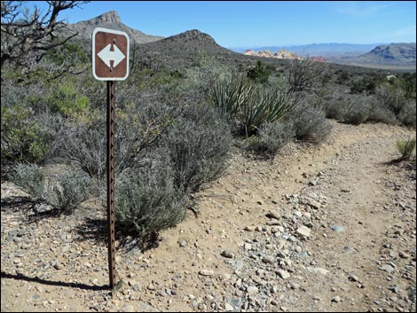
 Trail junction: White Rock Loop turns right (view NE) |
 Trail junction sign (view NE) |
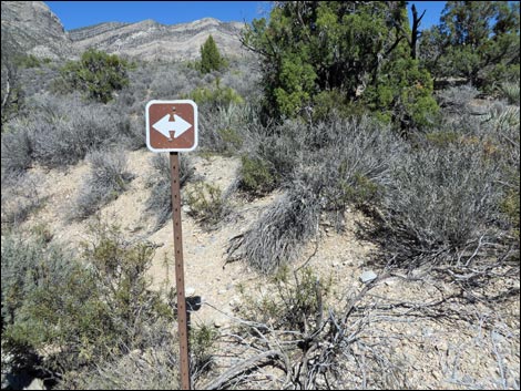
 Trail junction: White Rock Loop turns right (view SE) |
 Reminder: La Madre Mountain Wilderness Area (view SE) |
 Trail turns up along Red Rock Wash (view NE) |
 |
 |
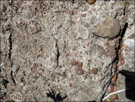
 Approaching Shinarump Conglomerate boulders (view NE) |
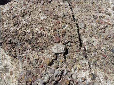 Triassic-age Shinarump Conglomerate boulders |
 Triassic-age Shinarump Conglomerate boulders |
 Triassic-age Shinarump Conglomerate boulders |
 Triassic-age Shinarump Conglomerate boulders |
 Hikers on Triassic-age Shinarump Conglomerate boulders |
 Hikers on Triassic-age Shinarump Conglomerate boulders |
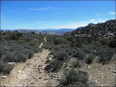
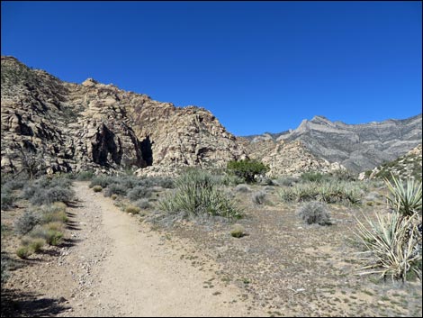
 Continuing up the canyon (view NE) |
 Continuing up the canyon (view NE) |
 High in the canyon (view E) |
 Arriving at the saddle (the highest point on the loop; view S) |
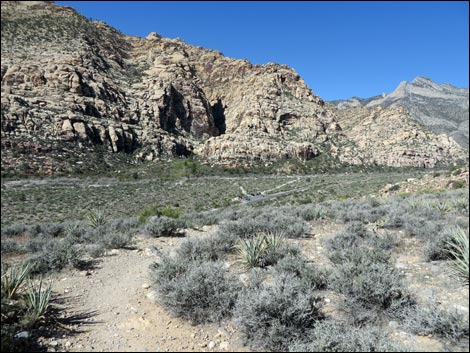
 View back into Red Rock Canyon (view W) |
 Trail starts down (view SE) |
 Red rocks at right make a nice lunch stop (view SE) |
 |
 |
 Lots of Blackbrush (view SE) |
 Unnecessary trail sign #1 |
 Unnecessary trail sign #2 |
 Lots of Blackbrush (view SE) |
 Approaching Keystone Thrust Trail junction (view S) |
 Keystone Thrust Trail junction (view S) |
 Keystone Thrust Trail junction (view E) |
 Keystone Thrust Trail junction (view N) |
 Keystone Thrust Trail junction (view E) |
 Crossing a wash (view S) Crossing a wash (view S) |
 Information sign: agave roasting pits on the right (view S) |
 Approaching at Upper White Rock Trailhead (view S) |
 Arriving at Upper White Rock Trailhead (view S) |
 Upper White Rock Trailhead (view S) |
 Exiting White Rock North Trailhead (view W) |
 Approaching White Rock West Trailhead (view W) |
 White Rock West Trailhead sign (view W) |
 Hikers on trail (view W) |
 White Rock Spring trail junction (view W). Consider the detour. |
 Staying left on the main trail (view W) |
 |
 |
 |
 |
 |
 |
 |
 |
 Approaching a deep ditch (view SW) |
 Atop bluff overlooking wash (view SW) |
 Trail descends into wash (view NW) |
 Trail turns to run down along wash (view S) |
 Trail finally crosses wash (view SW) |
 Climbing out of the canyon (view S) |
 |
 |
 |
 |
 Trail starts to turn up the hillside (view SE) |
 Trail turns and switchbacks up hillside (view SE) |
 Trail climbs across hillside (view SE) |
 Trail climbs to edge of bluff (view SE) ... |
 ... then turns back to the west (view S) |
 White Rock Loop Trail (view W) |
 White Rock Loop Trail (view W) |
 Grand Circle Trail junction (view W) |
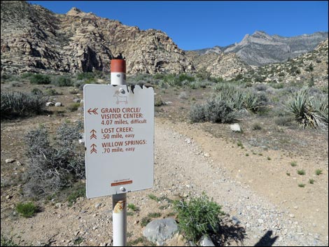 Grand Circle Trail junction sign (view W) |
 Grand Circle Trail (view S) |
 Continuing on White Rock Loop Trail (view NW) |
 Trail crests ridge (view NW into Red Rock Canyon) |
 Trail drops back into Red Rock Canyon (view NW) |
 Willow Springs Loop Trail junction (view NW) |
 Willow Springs Loop Trail junction sign (view E) |
 Following the Willow Springs Loop Trail (view NW) |
 Following the Willow Springs Loop Trail (view NW) |
 Arriving at archeological site (roasting pit and 5-Hands pictograph) |
 Hikers on cement trail heading towards lower restroom (view NW) |
 It becomes easier to just walk back up the road to the trailhead |
Table 1. Hiking Coordinates Based on GPS Data (NAD27; UTM Zone 11S). Download Hiking GPS Waypoints (*.gpx) file.
| Wpt. | Location | Time | Easting | Northing | Elevation (feet) | Point-to-Point Distance (mi) | Cumulative Distance (mi) | Verified |
|---|---|---|---|---|---|---|---|---|
| 01 | Willow Springs Trailhead | 1056 | 635112 | 4002653 | 4,568 | 0.00 | 0.00 | GPS |
| 02 | Crossing Red Rock Wash | 1109 | 634408 | 4003038 | 4,701 | 0.53 | 0.53 | GPS |
| 03 | Trail leaves the road | 1112 | 634312 | 4003150 | 4,744 | 0.09 | 0.62 | GPS |
| 04 | Crossing a wash | 1118 | 634261 | 4003442 | 4,871 | 0.21 | 0.83 | GPS |
| 20 | La Madre Trail junction, return | 1317 | 634462 | 4003819 | 4,911 | 0.00 | 1.11 | GPS |
| 21 | Unmarked trail junction | 1324 | 634763 | 4003982 | 4,932 | 0.24 | 1.35 | GPS |
| 22 | Conglomerate rocks, adjacent | 1339 | 635131 | 4004834 | 5,171 | 0.67 | 2.02 | GPS |
| 23 | Conglomerate rocks, east end | 1340 | 635163 | 4004828 | 5,189 | 0.03 | 2.05 | GPS |
| 24 | Saddle | 1359 | 635654 | 4005222 | 5,453 | 0.55 | 2.60 | GPS |
| 25 | Lunch, start | 1409 | 636184 | 4005052 | 5,286 | 0.00 | 2.60 | GPS |
| 25 | Lunch, end | 1426 | 636184 | 4005052 | 5,286 | 0.00 | 2.60 | GPS |
| 26 | Crossing wash | 1428 | 636267 | 4005033 | 5,235 | 0.44 | 3.04 | GPS |
| 27 | Keystone Thrust Trail | 1444 | 636955 | 4004268 | 4,944 | 0.73 | 3.77 | GPS |
| 28 | Crossing a wash | 1445 | 636968 | 4004163 | 4,902 | 0.07 | 3.84 | GPS |
| 29 | White Rock trailhead, north | 1446 | 637007 | 4004060 | 4,883 | 0.07 | 3.91 | GPS |
| 30 | White Rock trailhead, west | 1448 | 636979 | 4004051 | 4,876 | 0.02 | 3.93 | GPS |
| 31 | White Rock Spring Trail | 1450 | 636874 | 4004072 | 4,842 | 0.07 | 4.00 | GPS |
| 33 | Trail junction | 1506 | 636430 | 4003683 | 4,645 | 0.38 | 4.38 | GPS |
| 34 | Old road ends | 1512 | 636319 | 4003427 | 4,549 | 0.19 | 4.57 | GPS |
| 35 | Toe of ridge | 1522 | 636369 | 4002801 | 4,457 | 0.46 | 5.03 | GPS |
| 36 | Back of switchback | 1530 | 636176 | 4002518 | 4,429 | 0.30 | 5.33 | GPS |
| 37 | Grand Circle Trail | 1536 | 636044 | 4002353 | 4,519 | 0.25 | 5.58 | GPS |
| 38 | Willow Springs Loop Trail | 1546 | 635583 | 4002350 | 4,472 | 0.32 | 5.90 | GPS |
| 39 | Agave roasting pit | 1552 | 635240 | 4002555 | 4,538 | 0.28 | 6.18 | GPS |
| 01 | Willow Springs trailhead | 1555 | 635112 | 4002652 | 4,568 | 0.11 | 6.28 | GPS |
Happy Hiking! All distances, elevations, and other facts are approximate.
![]() ; Last updated 240330
; Last updated 240330
| Hiking Around Red Rocks | Hiking Around Las Vegas | Glossary | Copyright, Conditions, Disclaimer | Home |