Hiking Around Las Vegas, Gold Butte National Monument
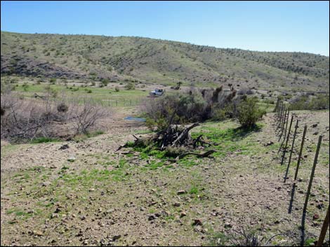
 Agua Chiquita Spring (view N from Catclaw Wash Road) |
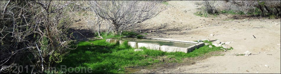
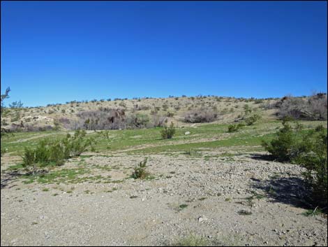
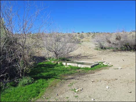
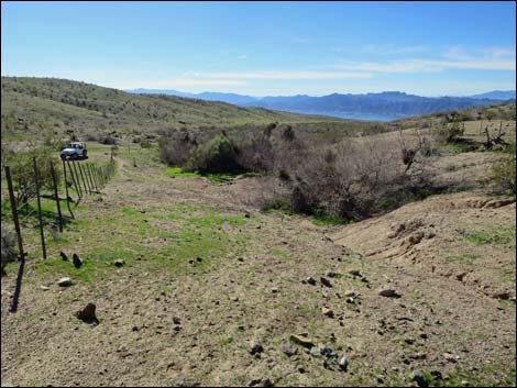
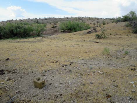
Overview Agua Chiquita Spring and Corral are located out at the far south end of Gold Butte National Monument, about 6 miles west of Gold Butte Townsite down towards the Overton Arm of Lake Mead. This historic spring area was developed by ranchers years ago, and water from the spring still flows to an old cement trough. The springbox is grown over with Honey Mesquite, and water overflowing from the trough supports another large clump of mesquite. The mesquite is full of Mesquite Mistletoe, which feeds fair populations of Phainopepla (a bird species of concern that eats mistletoe berries [note: poisonous to humans]). This point of interest makes for a place to stop while driving Catclaw Wash and contemplate the lives of people who once worked these hills, and to do so while listening to the songs of desert birds coming in for water. The spring is fenced to keep cows and feral burros out, but the gate is damaged, and they come in for water too. Link to map. |
 Agua Chiquita Spring (view N from outside the fence) |
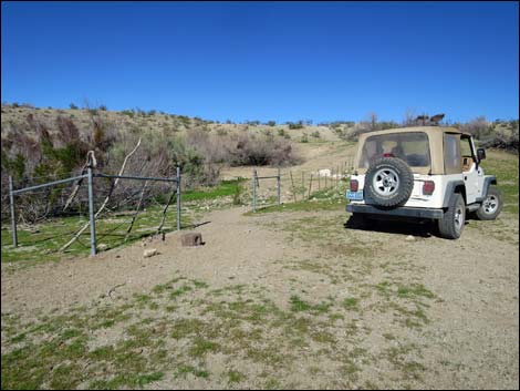
Getting to Agua Chiquita Spring Agua Chiquita Spring is located out in Gold Butte National Monument at the northeast end of Lake Mead, about 4 hours northeast of Las Vegas. From Las Vegas, drive out Gold Butte Road 21 miles to Whitney Pocket at the end of the pavement. Continue south on the unpaved Gold Butte Road 20 miles to Gold Butte Townsite. From the townsite, the main road that continues straight (southwest) is Scanlon Road. Drive south on Scanlon Road 4.1 miles to Catclaw Wash Road, a major fork with signs. Stay right and continue 3.1 miles to Aqua Chiquita Spring (Table 1, Site 1793), on the right about 60 yards out. |
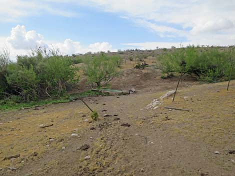
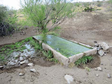
 Agua Chiquita Spring with mesquite and watering trough (view N) |
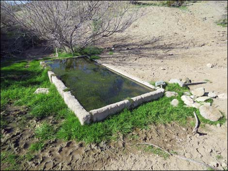 Agua Chiquita watering trough (view NW) |
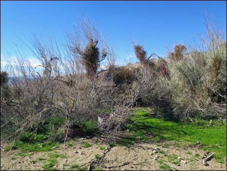 Dense thicket of Honey Mesquite |
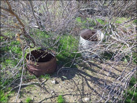 Old barrels in the thicket (old watering troughs?) |
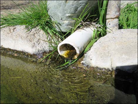 Water trickling into the watering trough |
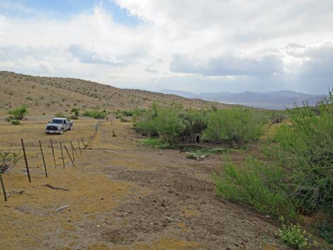
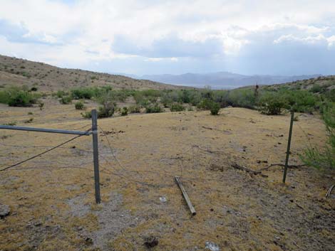
 Aqua Chiquita Spring (view S from NW corner of the fenced area) |
 Aqua Chiquita Spring (view S from NE corner of the fenced area) |
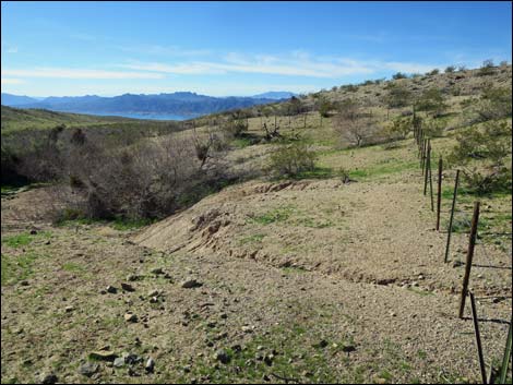 Aqua Chiquita Spring (view W from NE corner of the fenced area) |
 |
 |
 |
 |
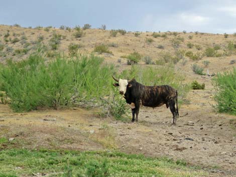 Cattle use the area |
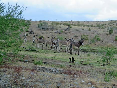 Feral burros use the area |
 |
 |
Table 1. Highway Coordinates Based on GPS Data (NAD27; UTM Zone 11S). Download Highway GPS Waypoints (*.gpx) file.
| Site | Location | UTM Easting | UTM Northing | Latitude (N) | Longitude (W) | Elevation (ft) |
|---|---|---|---|---|---|---|
| 1793 | Agua Chiquita Spring | 741859 | 4014436 | 36.24638 | 114.30845 | 2,356 |
Happy Hiking! All distances, elevations, and other facts are approximate.
![]() ; Last updated 240325
; Last updated 240325
| Backroads Around Las Vegas | Hiking Around Las Vegas | Glossary | Copyright, Conditions, Disclaimer | Home |