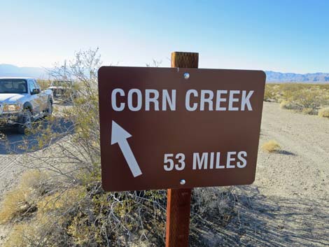
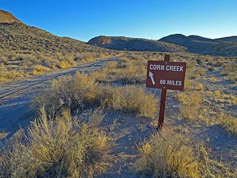
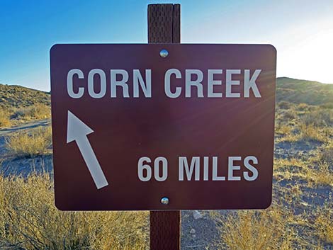
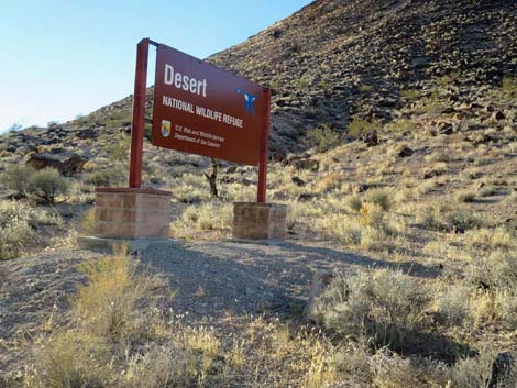
Backroads Around Las Vegas, Desert National Wildlife Refuge
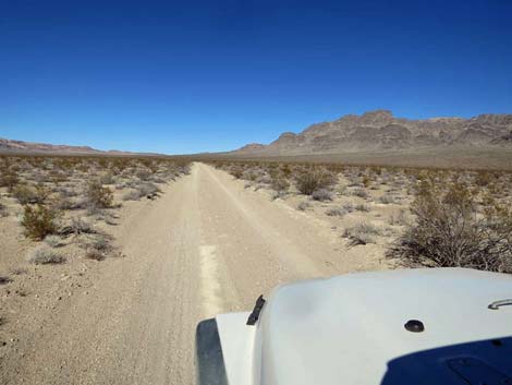
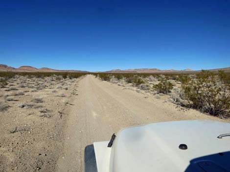
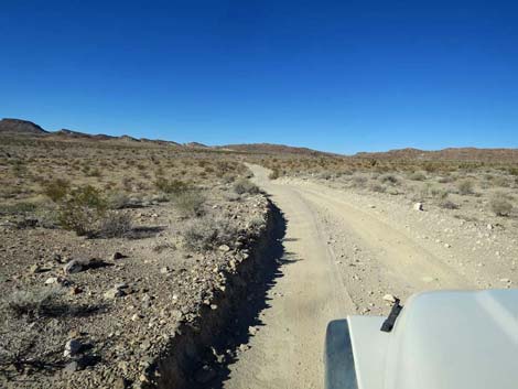
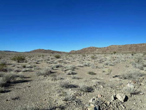
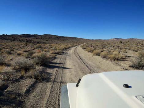
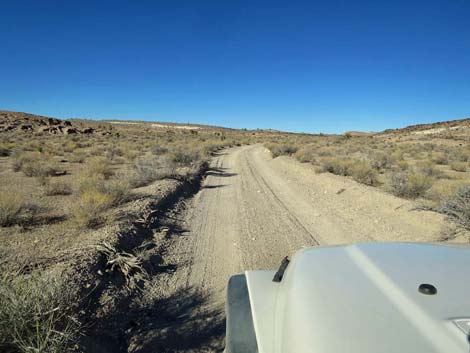
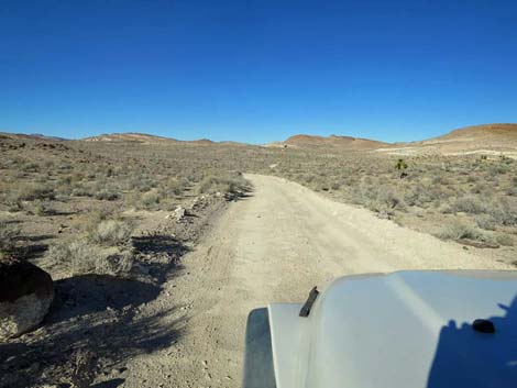
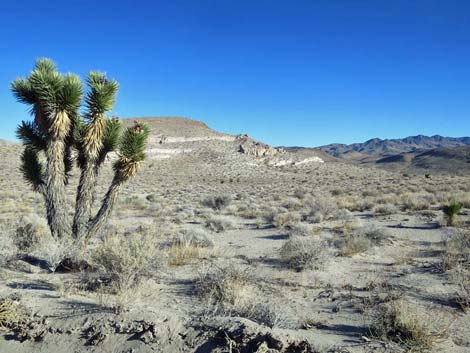
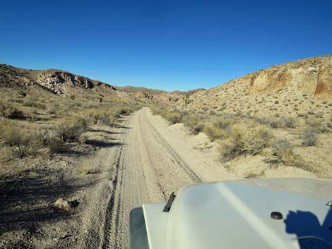
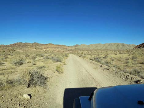
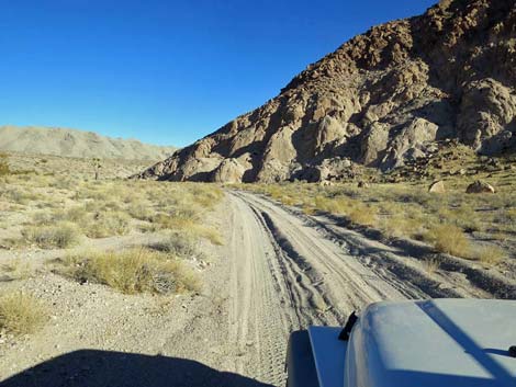
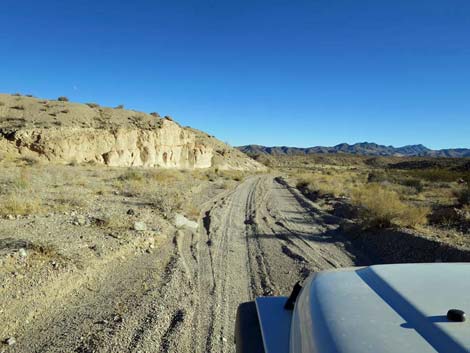
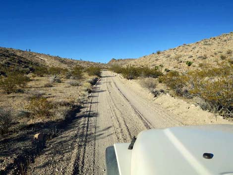
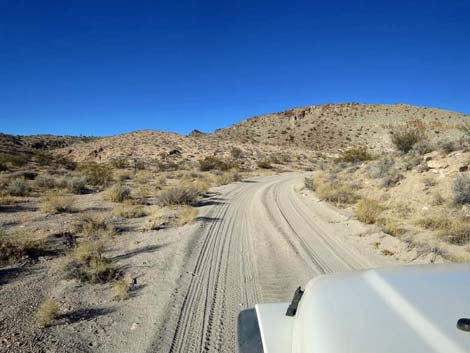
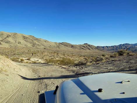
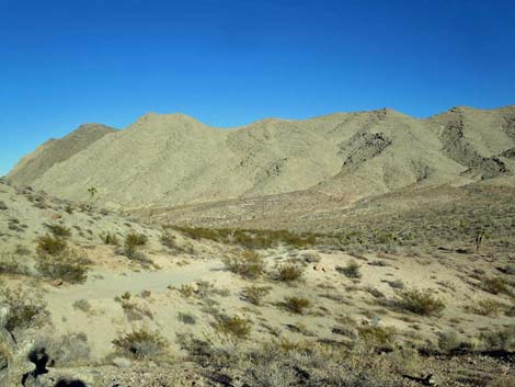
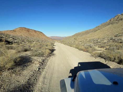
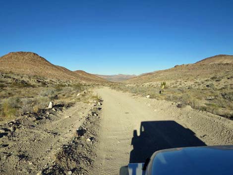
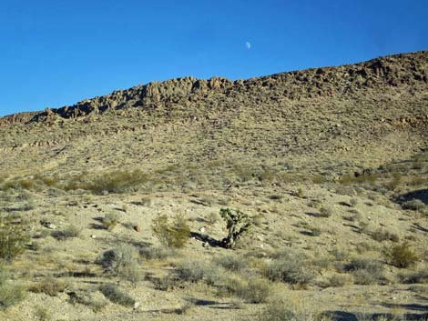
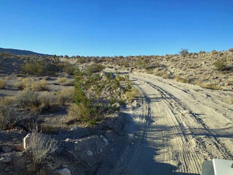
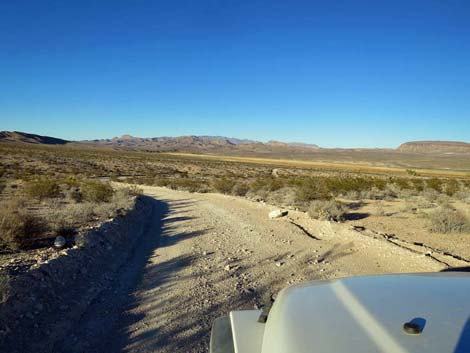
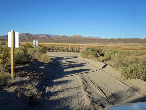
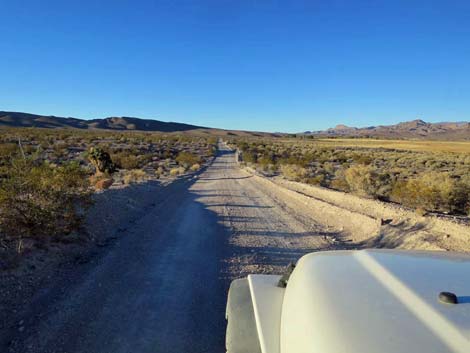
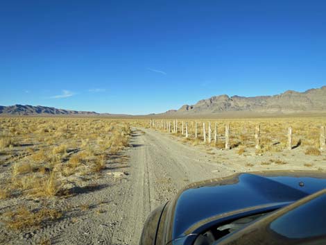 Departing North Dunes trailhead parking (view N) |
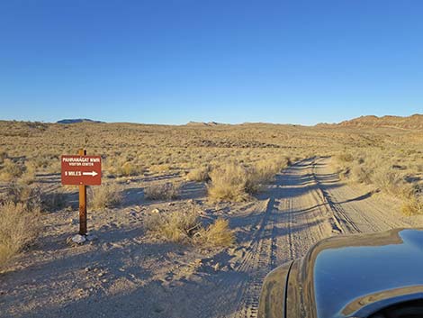
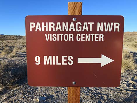
The Road -- Sand Dunes Highway 93 From Desert Sand Dunes, Alamo Road heads north for 11.6 miles before bending northeast (3 miles) to pass through gaps in the East Pahranagat Range. The road descends 4.3 miles to the west edge of Pahranagat Valley. Following north 1.8 miles along the edge of the marsh, the road reaches Pahranagat NWR Visitor Center and shortly beyond reaches the pavement at Highway 93, for a total of 69.8 miles from Corn Creek. This part of the road is graded from time to time and usually is suitable for high-clearance vehicles. After storms, however, the road can be washed at any of the many places where the road crosses washes. This part of Alamo Road provides access to campsites, grand scenery, and the pavement at Highway 93. Link to map. See Alamo Road for GPS coordinates. |
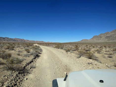
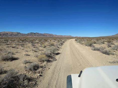
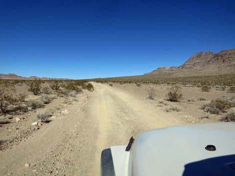
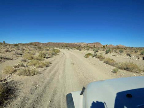
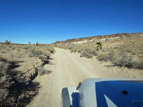
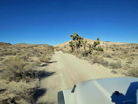
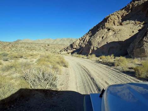
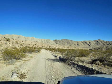
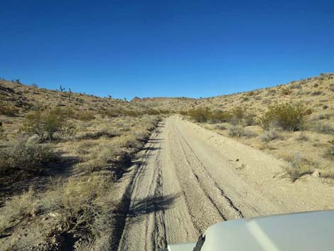
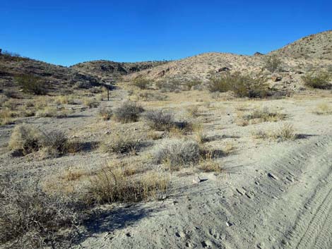
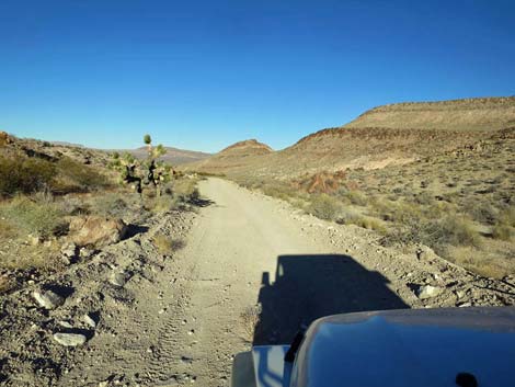
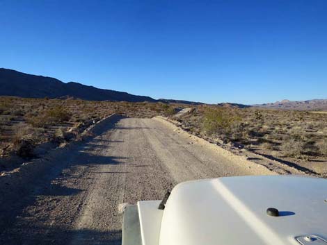
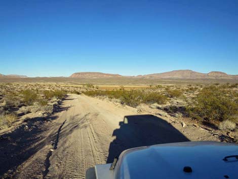
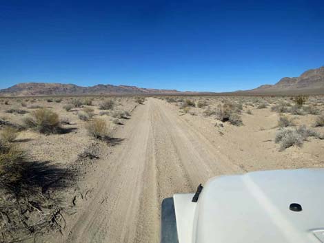 Alamo Road past North Dunes trailhead parking (view N) |
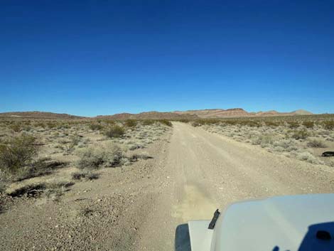
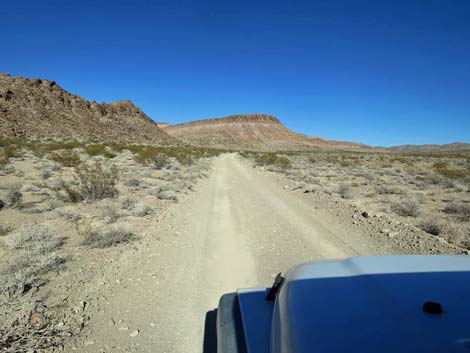
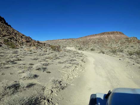
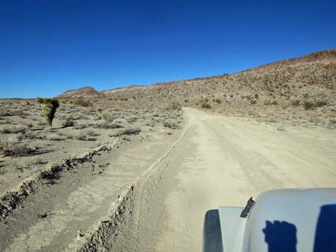
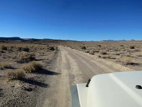
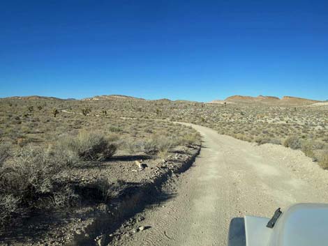
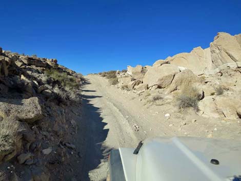
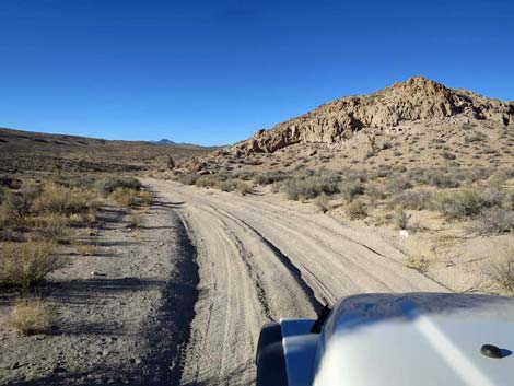
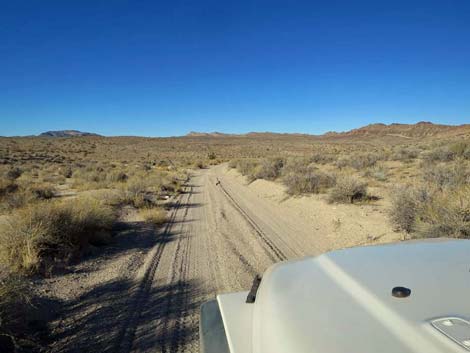
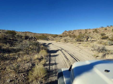
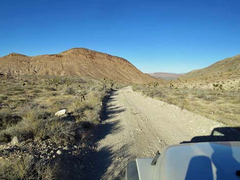
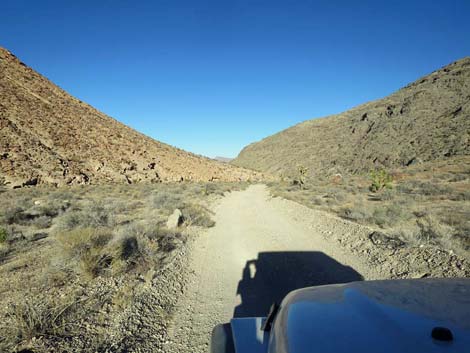
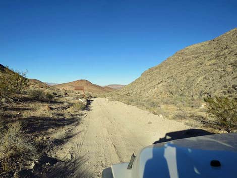
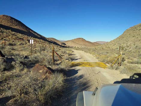
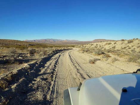
Beyond the dunes, Alamo Road climbs the gentle bajada heading north. Here, the road is straight and tends to be pretty good with only a few bits of excitement in the roadway. For people wanting to camp, there are some nice patches of desert pavement on the right that provide clean, low-impact campsites as long as people drive slowly and don't churn up the desert pavement. The pebbles make for a clean camping surface, but they cover dusty desert soils. Continuing north, Alamo Road passes a service road (Site 0542) on the left that angles back towards the playa. There were no signs in December 2017, but this road should be marked as closed to the public (we don't want to stray onto the bombing range). Beyond the service road left, Alamo Road bends a bit right and begins the long climb towards a low spot on the crest of the East Pahranagat Range (essentially an extension of the Sheep Range). The road becomes a bit rough in this area and partly runs in a wash where the sand and gravel can be a bit deep, but probably not deep enough to cause problems for those who can get this far. |
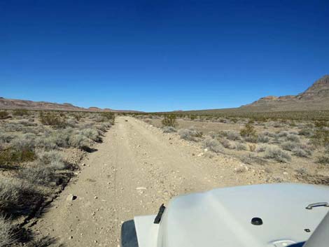
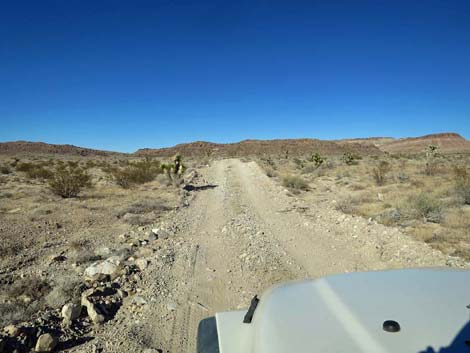
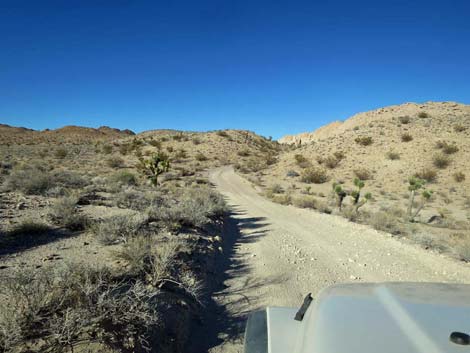
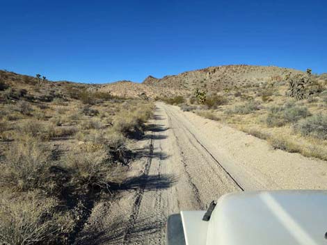
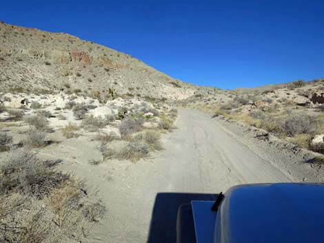
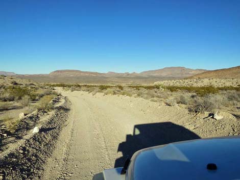
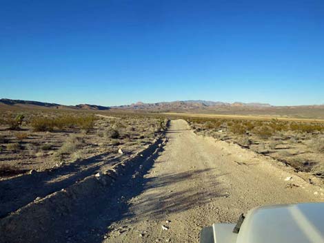
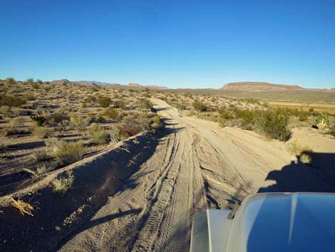
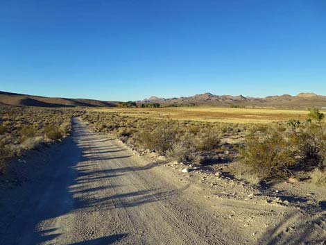
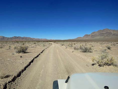 Alamo Road runs long and straight (view N) Alamo Road runs long and straight (view N) |
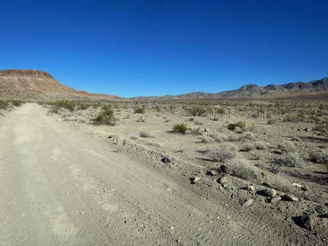
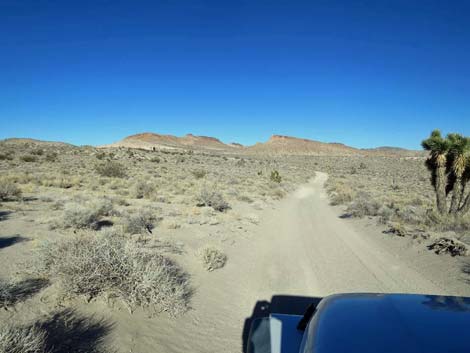
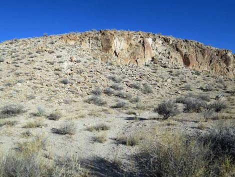
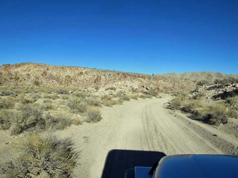
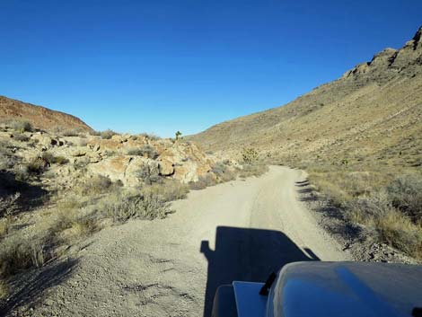
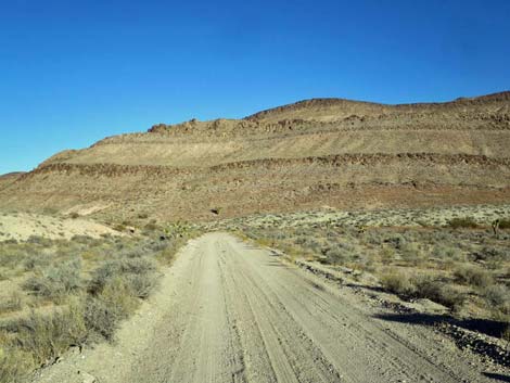
Alamo Road passes a now-closed side road to the right (55.7 miles out), then runs up along the edge of a bluff on the left. Passing the toe of the bluff, the road bends left and climbs a short, rocky section that is the worst part of the road north of the playa, but again this isn't a big problem and is only worth mentioning because the rest of the road is so good. The road trends northeast winding across open country, then takes aim at white volcanic cliffs. The road approaches the cliffs, bends left, and climbs through a narrow canyon bordered by white cliffs to a highpoint on a ridge. This is the highest point on the road (4,260 ft). Note the graffiti on the right: names scratched into the cliff -- don't do this! |
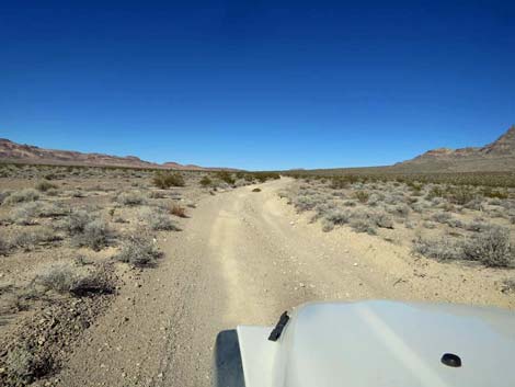
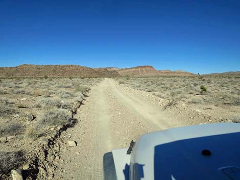
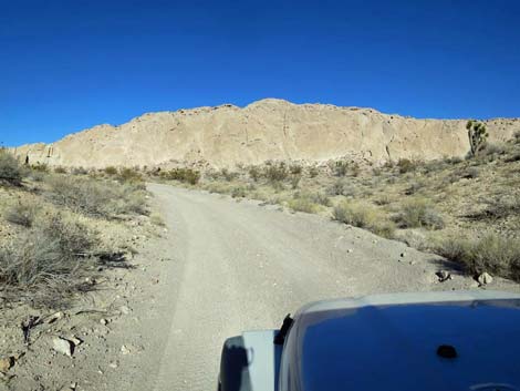
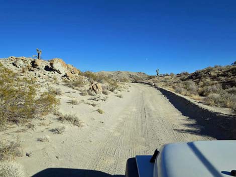
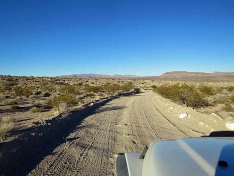
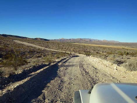
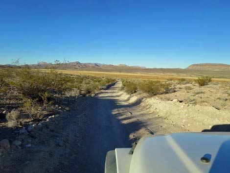
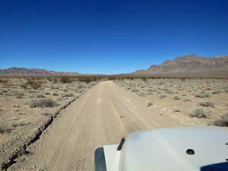 Alamo Road runs long and smooth too (view N) |
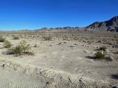
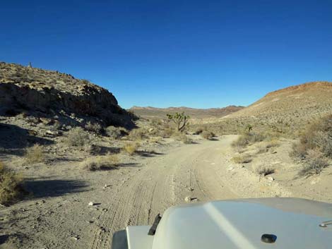
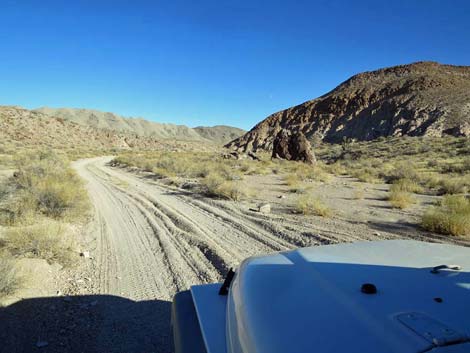
The crest of the ridge provides nice views northwards through the next valley, which the road follows down at moderate grades to the next road intersection (Site 0493). Alamo Road stays right, but the left connects with Badger Valley Road to the north, and can be used to drive out to Tikaboo Peak, to Highway 93 (just north of Pahranagat NWR visitor center), or to Alamo via the Shooting Gallery (an outpost of Basin and Range National Monument). Staying right, Alamo Road quickly passes the other leg of the Badger Valley Road triangle intersection and heads east following a sandy wash into a fairly narrow canyon. Alamo Road winds down the sandy canyon, and in passing a toe of a rocky hill on the right, passes an obscure side road to the left (0.5 miles from Badger Valley Road). My vehicle GPS indicated that I should turn left onto the obscure road, but the obvious main road stays right, so did I too. This turns out to be a GPS-map error -- be forewarned. |
 |
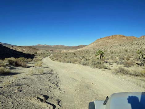
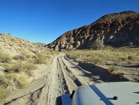
Staying right on the main road, Alamo Road continues eastward down the sandy track. The toe of the rocky ridge on the right provides nice afternoon shade (the first all day). The road continues into the full sun, and shortly a parking corral (Site 1541) comes into view. Here, a service road forks right through a gate and runs out to a guzzler visible ahead in the distance, while Alamo Road bends left to climb into the next sandy canyon. When the canyon bends to the right (about 0.6 miles from the parking corral), my GPS indicated that "Alamo Road," from the left, rejoins the "unnamed road" that I had been on. However, there is no road to the left here. This is the other end of the GPS-map error, but at least the GPS now says I'm back on Alamo Road. Continuing east, Alamo Road bends right and climbs onto a low ridge where a short spur road to the right the climbs onto the crest of a low hill. This hilltop provides a nice overlook to stop, get out, stretch the legs, and take in the grand view to the south. Somewhat unexpectedly, this turns out to be the crest of the East Pahranagat Range. |
 |
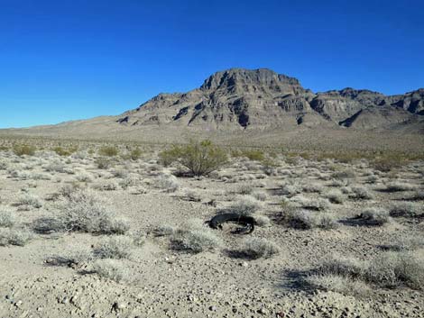
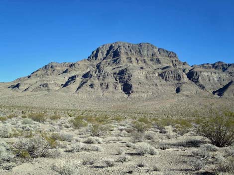
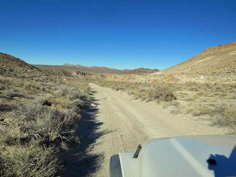
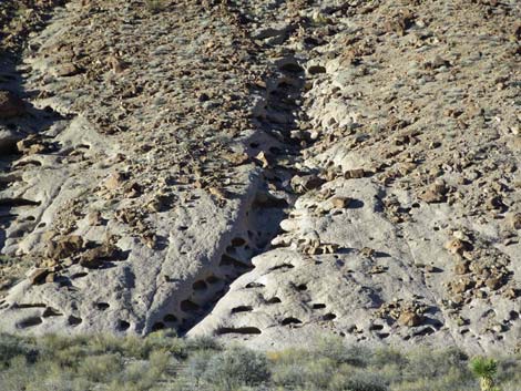
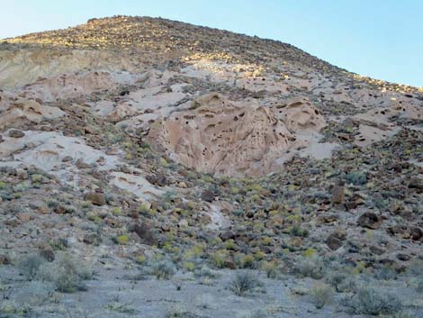
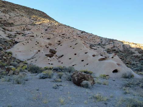
Heading east past the overlook, Alamo Road begins the long descent down the east side of the East Pahranagat Range. The limestone mountains here are overlain by volcanic-ash tuffs, and these softer rocks have eroded into wild and fascinating cliffs full of holes and other odd erosional patterns. Eventually, Alamo Road passes through a fence at a cattle guard with a Desert National Wildlife Range (NWR) boundary sign (Site 1878) on the hillside to the left. This is the old boundary of the National Wildlife Refuge, but the area was expanded, and the boundary now is coincident with the boundary of Pahranagat National Wildlife Refuge (several miles to the east). Alamo Road continues down the canyon, winding back and forth in the wash between wild erosion patterns in the stone on the left and layered volcanic rocks on the right. Eventually, the canyon walls lay back and the Pahranagat Valley opens to the east with what appears to be a gentle glide down towards Highway 93. |
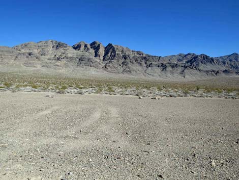
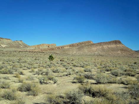
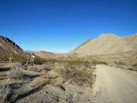
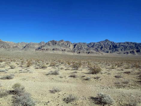 Grand scenery (view E from Alamo Road towards Sheep Range) |
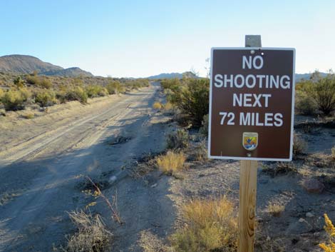
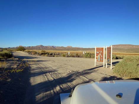
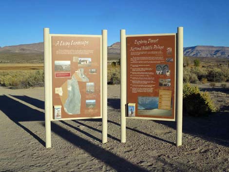
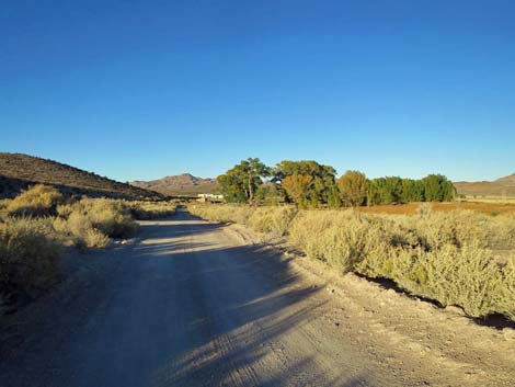
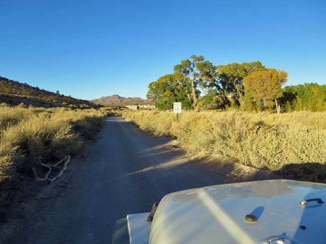
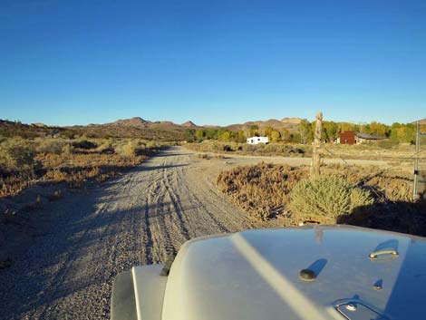
Somewhat unexpectedly, however, Alamo Roads hooks hard to the left and climbs out of the wash onto higher terrain heading north. The road continues to do this -- trend down to the east, then hooking back to the west -- several times before finally arriving at the edge of Pahranagat Marsh. A parking area (Site 0492) with information signs welcomes northbound drivers to Pahranagat NWR while only "No shooting next 72 miles" and "warning hazardous conditions" signs greet drivers heading south. Now heading north along the edge of Pahranagat Marsh (Middle Marsh), Alamo Road follows outside the boundary fence until passing a 10-mph sign (to reduce dust blowing into the Pahranagat NWR housing area), bending a bit right, and entering a grove of cottonwood trees. Alamo Road passes Petroglyph Cabin on the left, then stays left at a fork where a service road goes right. Passing the housing area, maintenance area, and visitor center (all on the right), Alamo Road merges (Site 0943) with the entry road to the visitor center and continues east. After passing under tall cottonwood trees, passing the Pahranagat NWR entrance sign on the left, Alamo Road ends at an intersection with Highway 93 (Site 0486). |
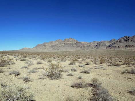 Grand scenery (view NE from Alamo Road towards Sheep Range) |
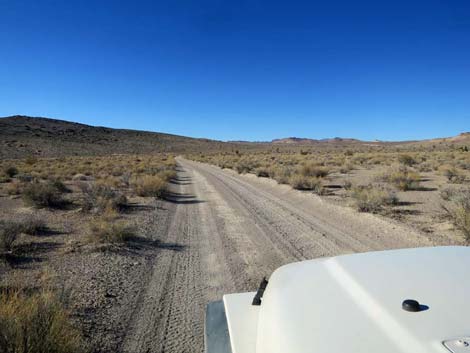
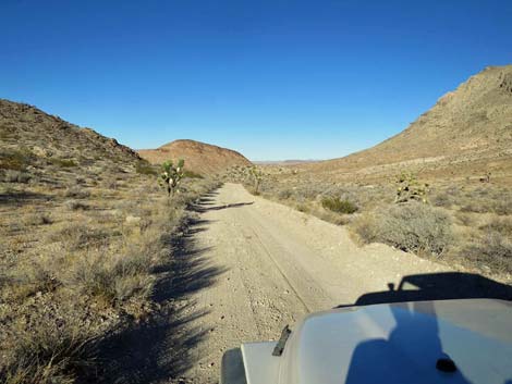
 Alamo Road continues to run long and smooth (view N) |
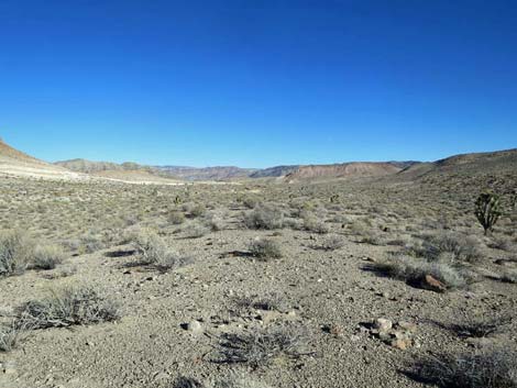
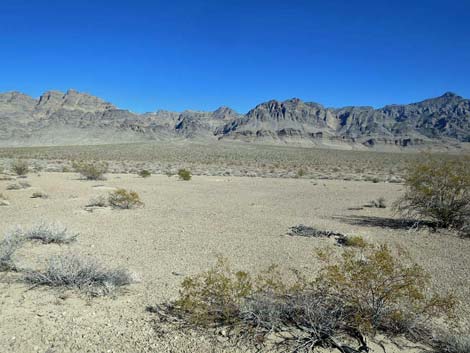 First of several desert pavement LNT campsites (view NE from road) |
 Alamo Road (view N) |
 Alamo Road (view N) |
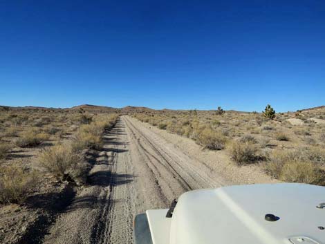
 Alamo Road continues to run long and smooth (view N) |
 Another desert pavement LNT campsite (view E from Alamo Road) |
 Yet another desert pavement LNT campsite (view N) |
 Alamo Road continues to run long and smooth (view N) |
 Alamo Road continues to run long and smooth (view N) |
 Alamo Road approaching closed road on the left (view N) |
 Alamo Road at closed road on the left (view N) |
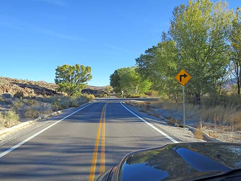
 Looking back at road sign: Alamo Road to the left (view S) |
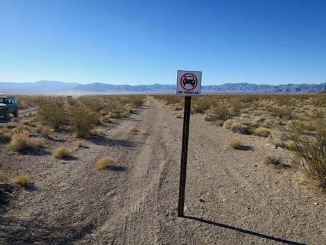 Looking back at road sign: no vehicles in military zone (view S) |
 Alamo Road bends a bit to the right (view NE) |
 Grand scenery (view E from Alamo Road) |
 Grand scenery (view E from Alamo Road; zoom) |
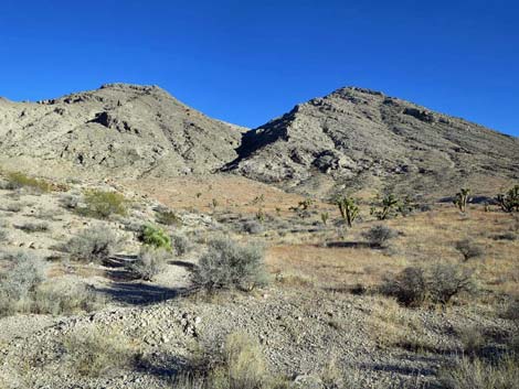
 Alamo Road starting to wind into the hills (view NE) |
 Alamo Road winding into the hills (view NE) |
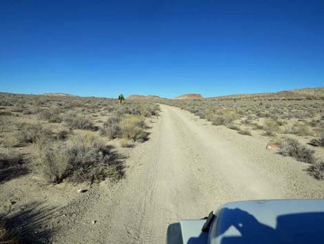
 Alamo Road (view NE) |
 Alamo Road (view NE) |
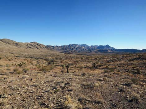
 Grand, open landscape (view N from Alamo Road) |
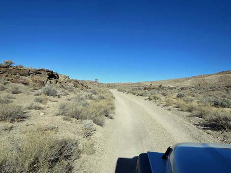
 Alamo Road nearing the first hills (view NE) |
 Alamo Road approaching a closed road right (view NE) |
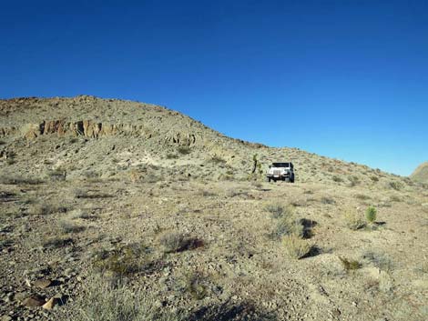
 Alamo Road at a closed road with campsite (view NE) |
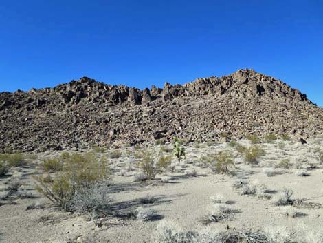 Grand scenery with rocky ridgeline (view N from Alamo Road) |
 Approaching the only road hazard: a rocky step (view NE) |
 Smooth road after the rocky step (view N) |
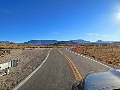
 Smooth road traversing wide, open spaces (view NW) |
 Smooth road and wide, open spaces (view N) |
 Grand scenery with layered volcanic ridges (view E from Alamo Rd) |
 Alamo Road (view N) |
 |
 |
 |
 |
 Alamo Road (view NE) |
 Smooth road and wide, open spaces (view NE) |
 Grand scenery (view E across open valley from Alamo Rd) |
 Alamo Road (view NE) |
 Alamo Road (view NE) |
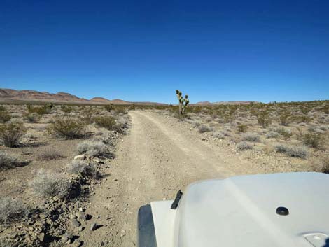
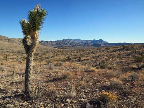
 Grand scenery with Joshua tree (view NE from Alamo Rd) |
 Smooth road approaching the next set of hills (view NE) |
 Winding into the hills (view NE) |
 Alamo Road approaching white, volcanic cliffs (view E) |
 Alamo Road bending left along white, volcanic cliffs (view N) |
 Alamo Road approaching the highpoint (view N) |
 Alamo Road atop the highpoint (view N) |
 Alamo Road descending from the highpoint (view N) |
 Alamo Road (view NE) |
 Alamo Road (view NE) |
 More white, volcanic cliffs (view N from Alamo Road) |
 Winding down into the next valley (view N) |
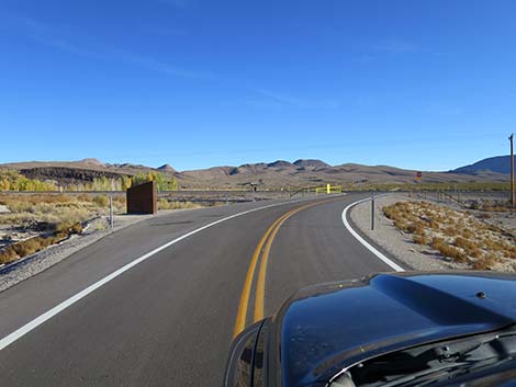
 Entering another broad, open valley (view N) |
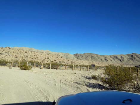
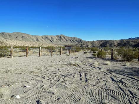
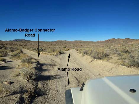 Alamo Road at Alamo-Badger Connector Road (triangle intersection) |
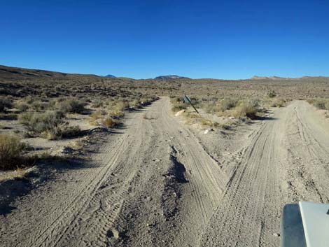 Alamo-Badger Connector Road (view N from Alamo Road) |
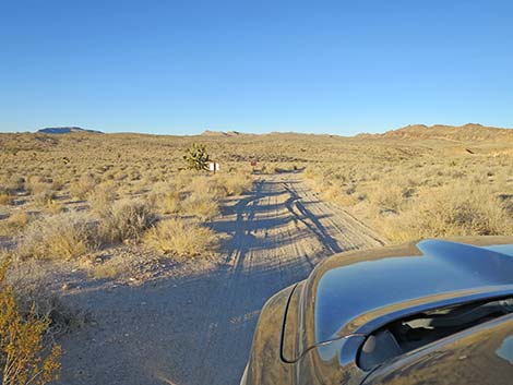 Alamo Road approaching Alamo-Badger Connector Road (view NE) |
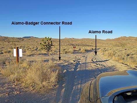 Alamo Road at Alamo-Badger Connector Road (view NE) |
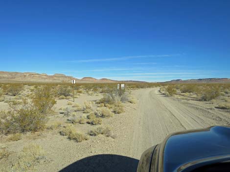
 Looking back at the "white" sign (view SW) |
 Looking back at the "white" sign (view SW) |
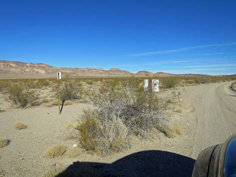
 Sign just beyond Alamo-Badger Connector Road (view NE) |
 Directional sign (view NE) |
 Alamo Road continues down across broad valley (view NE) |
 Alamo Road starting down into sandy canyon (view NE) |
 Alamo Road running down sandy wash (view E) |
 Alamo Road approaching toe of rocky ridge (view E) |
 Alamo Road approaching toe of rocky ridge (view E) |
 Alamo Road at toe of rocky ridge (view E) |
 GPS ERROR: Alamo Road does not go up this wash (view N) |
 Alamo Road continues around rocky ridge (view SE) |
 Alamo Road continuing down sandy wash (view SE) |
 Alamo Road approaching another parking corral (view SE) |
 Alamo Road at parking corral and service road gate (view SE) |
 Parking at service road gate (view S from Alamo Road) |
 Alamo Road bends hard left and runs up next canyon (view NE) |
 Alamo Road running up canyon (view NE) |
 Alamo Road (view NE) |
 Alamo Road (view NE) |
 Alamo Road approaching next GPS Error (view NE) |
 GPS ERROR: Alamo Road does not run up that narrow, sandy wash |
 Alamo Road continuing past GPS error (view E) |
 Alamo Road climbing towards next highpoint (view SE) |
 Alamo Road atop saddle and spur road to viewpoint (view SE) |
 Viewpoint (view S along spine of Sheep Range) |
 Viewpoint (view S along spine of Sheep Range) |
 Vehicle atop viewpoint (view NE) |
 Viewpoint (view E towards Alamo Road) |
 Alamo Road departing the viewpoint (view E) |
 Alamo Road running smooth and wide (view NE) |
 Cutting across the Sheep Range (view S from Alamo Road) |
 Alamo Road running smooth and wide (view NE) |
 Alamo Road winding down the canyon (view E) |
 Alamo Road (view NE) |
 Alamo Road (view NE) |
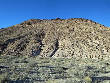 Hillside with curious erosion patterns in the volcanic ash |
 Curious patterns in the volcanic ash (view N from Alamo Road) |
 Alamo Road approaching old Desert NWR boundary (view NE) |
 Alamo Road at old Desert NWR boundary (view NE) |
 Old Desert NWR boundary sign (view NW) |
 Cattle guard at old Desert NWR boundary (view NE) |
 Another hillside with curious erosion patterns in the volcanic ash |
 Curious patterns in the volcanic ash (view N from Alamo Road) |
 Alamo Road winding down the broad canyon (view E) |
 More layers in the volcanic mountains (view SE) |
 Alamo Road winding down the broad canyon (view E) |
 Alamo Road winding down the broad canyon (view E) |
 The moon above layered volcanic ridge (view SE) |
 The broad canyon begins to open into Pahranagat Valley (view NE) |
 The broad canyon opening into Pahranagat Valley (view NE) |
 Alamo Road approaching hard bend to the left (view NE) |
 Alamo Road bending hard to the left (view NW) |
 Alamo Road traversing rolling bajada (view N) |
 Alamo Road traversing rolling bajada (view N) |
 Alamo Road approaching another bend to the left (view NE) |
 Alamo Road winding across rolling bajada (view N) |
 Alamo Road traversing rolling bajada (view N) |
 Alamo Road winding across rolling bajada (view NE) |
 Alamo Road approaching Pahranagat NWR (view NE) |
 Alamo Road at Pahranagat NWR (view NE) |
 Looking back at sign for drivers entering Desert NWR (view SW) |
 Approaching parking with info signs at Pahranagat NWR (view NE) |
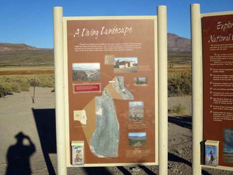
 Info signs at Pahranagat NWR parking (view E) |
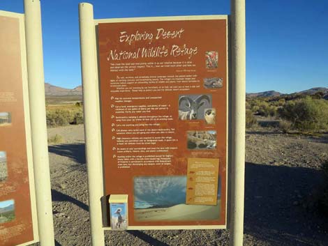 Info sign at Pahranagat NWR parking (view E) |
 Info sign at Pahranagat NWR parking (view E) |
 Other signs at Pahranagat NWR parking (view E) |
 Other signs at Pahranagat NWR parking (view E) |
 Continuing past Pahranagat NWR parking (view E) |
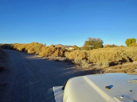
 Alamo Road running along edge of Pahranagat Marsh (view N) |
 Alamo Road approaching cottonwood trees (view N) |
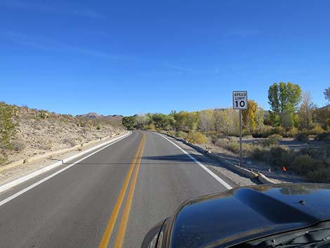
 Speed limit 10 mph to reduce dust in housing area (view N) |
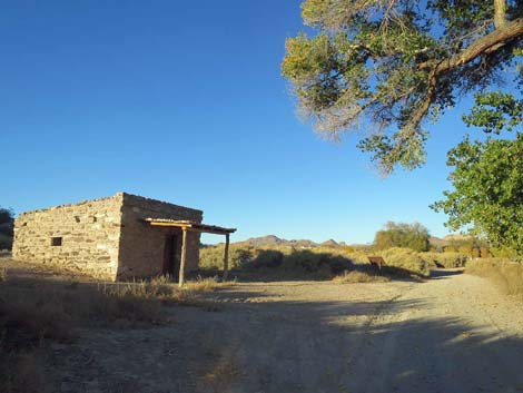 Alamo Road at Petroglyph Cabin (view NE) |
 Alamo Road just past fork in the road: stay left (view NE) |
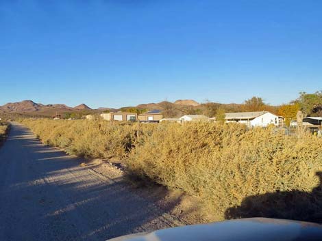 Pahranagat housing and maintenance area (view E from Alamo Road) |
 Alamo Road approaching side road to maintenance area (view NE) Alamo Road approaching side road to maintenance area (view NE) |
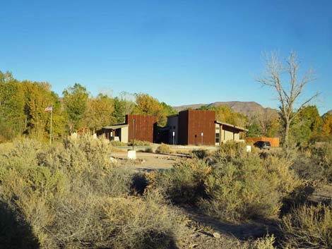 Pahranagat NWR visitor center (view E from Alamo Road) |
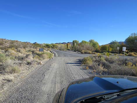 Alamo Road approaching paved Visitor Center Road (view NE) |
 Alamo Road at paved Visitor Center Road (view NE) |
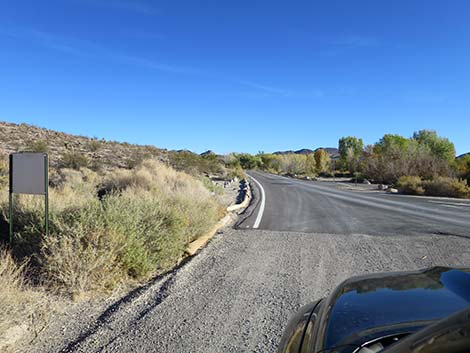
 Visitor Center Road exiting the Visitor Center area (view NE) |
 Visitor Center Road (view NE) |
 Visitor Center Road (view E) |
 Visitor Center Road approaching Highway 93 (view NE) |
 Visitor Center Road at Highway 93 (view NE) |
Happy Hiking! All distances, elevations, and other facts are approximate.
![]() ; Last updated 240324
; Last updated 240324
| Backroads Around DNWR | Hiking Around Las Vegas | Glossary | Copyright, Conditions, Disclaimer | Home |