Hiking Around Las Vegas, Desert National Wildlife Refuge
Thanks to Kenny Amundsen and others, the old cabin has been restored!
See photos of the roof and exterior reconstruction and the floor and interior reconstruction.
Additional photos of the Cabin Exterior, Cabin Interior, Cabin Grounds, Wiregrass Spring
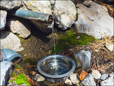 Water pipe at the cabin [more photos] |
Note: The climate is changing, and springs all over southern Nevada are drying up. In the early 2010s, the springbox at Wiregrass Spring went dry. Beginning in 2016, the water pipe at Hidden Forest Cabin, which originates at the spring, has become unreliable. After heavy rains during the 2016-17 winter, water flow rates at the cabin returned to normal. Since then, flow rates have ebbed and flowed, but after the wet winter of 2018-19, water barely flowed. Apparently, the flow fluctuates daily too: "We stayed the night, and while we were there, the rate changed quite a bit. Came to a stop at one point, steady stream at another, but most of the time it was a slow trickle." January 2025. Scott writes: I am happy to report that while the surrounding area is icy and slick, water is flowing at about 1.5 liters per minute. There is snow in the mid section of the trail, but no snow on the ground in the cabin area. Cabin is in serviceable condition with no signs of rodents. Hikers: Please send updates about flow rates. |
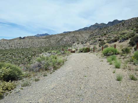
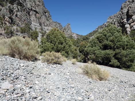
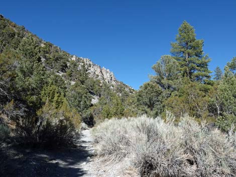
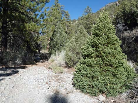
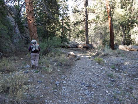
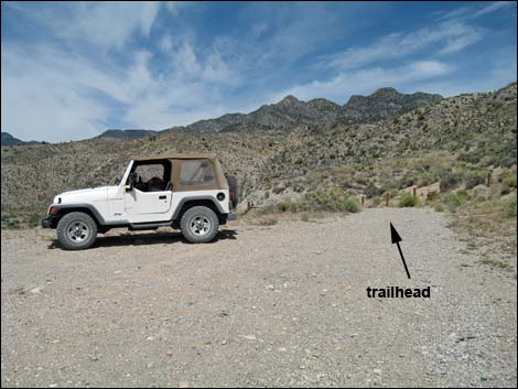 Trailhead parking (view NE towards trail) |
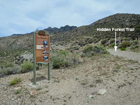
Overview This moderately strenuous hike follows an old road up a canyon into the mountains to a hidden ponderosa pine forest. The Hidden Forest starts at the first ponderosa pines (3.7 miles out) and continues to the crest of the mountains. The road ends at an old, hand-hewn log cabin (5.6 miles out). This is a good place to camp, sit beneath the pines, enjoy to coolness, and listen to the wind and the birds. Water is available at the cabin, so this is a good backpacking destination, but it is a popular place and can be crowded on weekends. For general information on camping, regulations, other issues, and the natural history of the Wildlife Refuge, see the Desert National Wildlife Refuge -- Area Overview page. Link to map or elevation profile. |
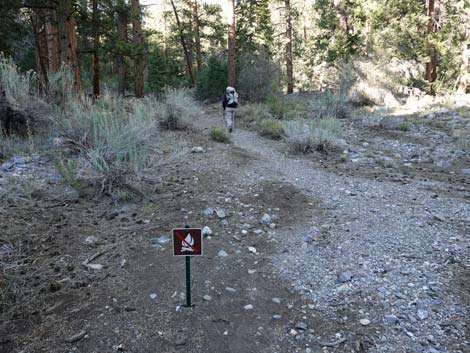
 Trailhead sign (view NE) |
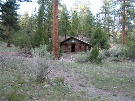
Hidden Forest Cabin The origins of Hidden Forest Cabin were surrounded in mystery and rumor, and it was thought that construction began as early as 1880. It would seem that the origins of a structure like this would not have been so quickly lost to history. In 2020, however, Reporter Tom Hawley of Las Vegas Channel 3 News did some digging in old newspaper archives and found stories reporting that the cabin was built in 1931 by Clarence Russell, a World War I veteran seeking a place of solace in the mountains. One can imagine that he was suffering from PTSD. USFWS archaeologists used tree-ring data to corroborate the 1930s date. In 1932, Mr. Russell was apparently enraged that another settler (Mr. Moore) encroached on his solitude by taking up residence in the next canyon to the north. Mr. Russell drove over, confronted his neighbor, and shot him dead. Mr. Moore's son then shot Mr. Russell dead. After that, the land became a refuge, and the cabin was taken over as a patrol cabin. Some say however, that the cabin was used for bootleg gin. I have no evidence, but I would not doubt it. |
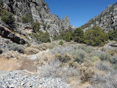
 Start of Hidden Forest Trail (view NE) |
Watch Out Other than the standard warnings about hiking in the desert... this is a safe hike. Hiking in loose gravel is tiring, more tiring than might be expected, so don't overestimate the speed at which you will be able to hike up the canyon. Depending on recent weather conditions, a 2WD-HC vehicle should make it to the trailhead, but call the refuge manager if you have questions. Large numbers of birds use the water at the cabin, so while camping, stay far enough away from the water to let the birds and other little creatures drink. While hiking, please respect the land and the other people out there, and try to Leave No Trace of your passage. Also, this hike is long, so be sure to bring the 10 Essentials. This is a wildlife refuge, so pay extra attention to respecting the land. Please, don't bother the bighorn sheep. They have a hard enough time making a living in these desert lands; they don't need extra stress from people camping or sitting around the spring. |
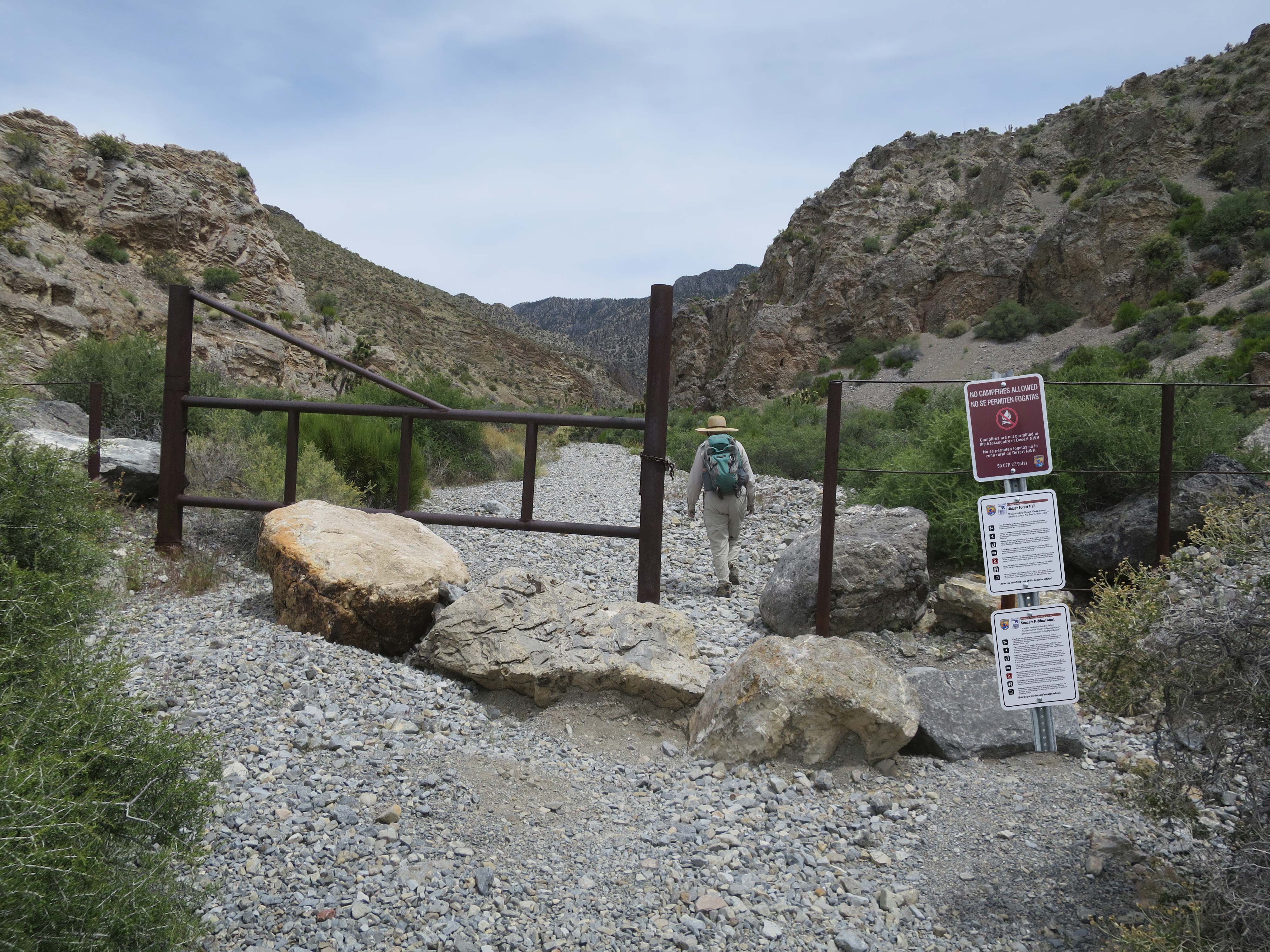
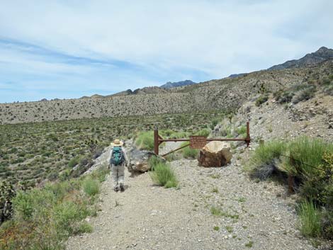 The trail goes around a gate blocking the old road (view NE) |
Because of heavy use and disuse, the USFWS requests that people stop leaving "supplies" in the cabin, stop sleeping inside the cabin (except for emergencies), make better pooping choices, pack out everything you brought in, and pack out some extra trash too. Getting to the Trailhead This hike is located on the Desert National Wildlife Refuge, about 2 hours north of town. From town, drive out to Corn Creek Field Station and continue east 50 yards to a T-intersection. Turn left onto Alamo Road and drive north for 14.5 miles to Hidden Forest Road. Turn right onto Hidden Forest Road and drive east 3.8 miles to a parking area at the end of the road. There are no turns, and the road ends against the first set of hills. Under normal conditions, these are good, well-graded roads. Park here; this is the trailhead. |
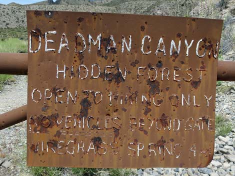 Sign on gate (actual distance to Wiregrass Spring is 5.7 miles) |
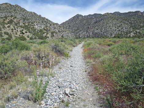
The Hike The trailhead is on a narrow bench between a steep rocky hillside and a deep, broad wash. The vegetation at the trailhead is typical of the dry desert region along the access roads, which as stunted creosote bush, white bursage, some small Joshua trees, and a few other scattered shrubs. Not only is this a dry desert area, but it is in the rain shadow of the Spring Mountains, so it gets even less rain than other areas in southern Nevada. Some of the most stunted plants in southern Nevada grow along the western flank of the Sheep Range. From the trailhead (Table 1, Waypoint 01), the old road continues past a gate and drops steeply into Deadman Wash. A sign at the trailhead says that Wiregrass Spring is 4 miles out, but the cabin is 5.7 miles out, and the spring is about 0.13 miles past the cabin. The sign should read: Wiregrass Spring 5.8 miles. |
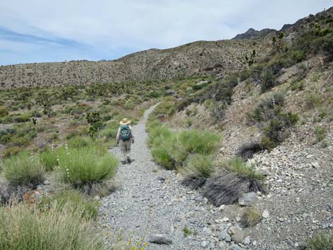
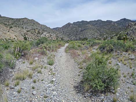
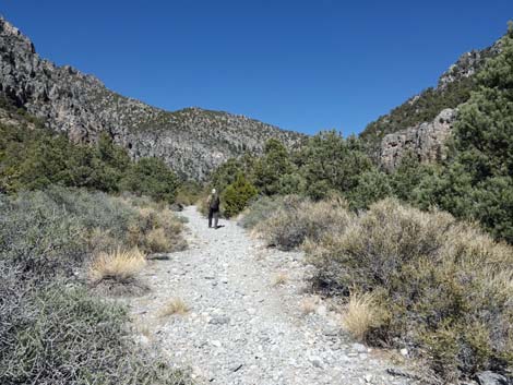
 Trail follows old road down into Deadman Wash (view NE) |
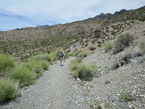
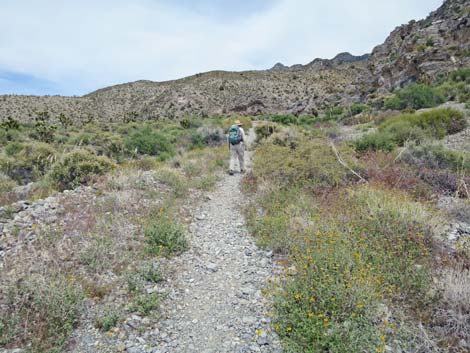
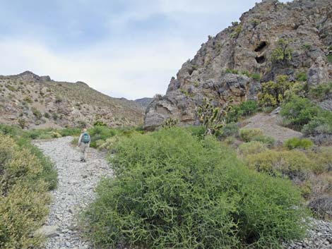
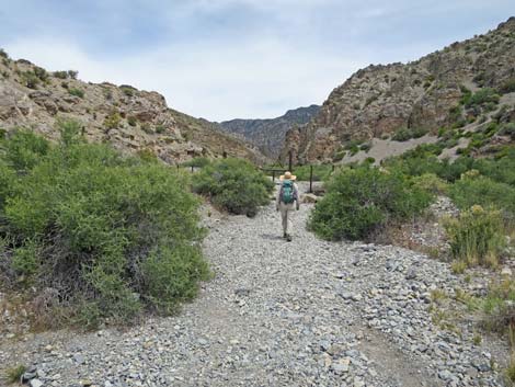
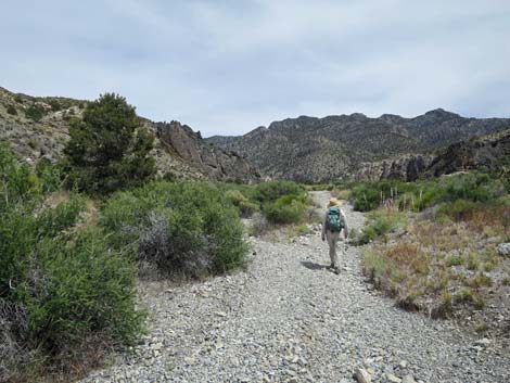
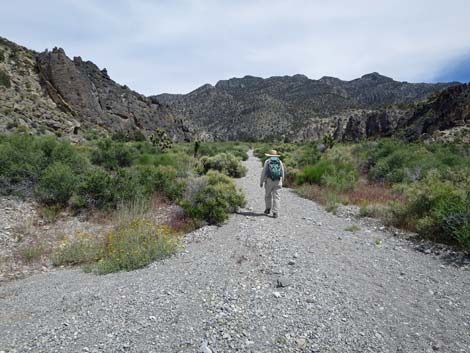
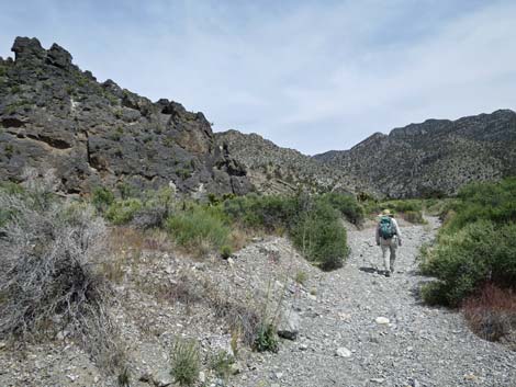
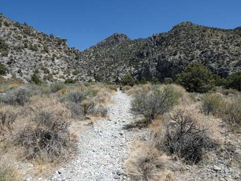
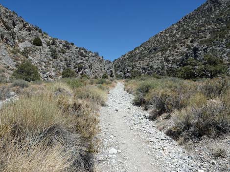
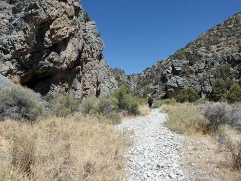
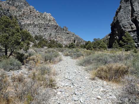
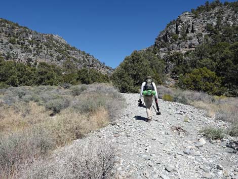
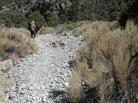
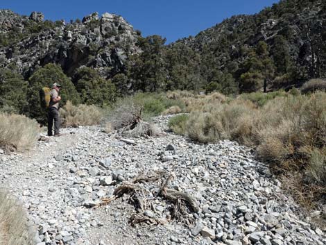
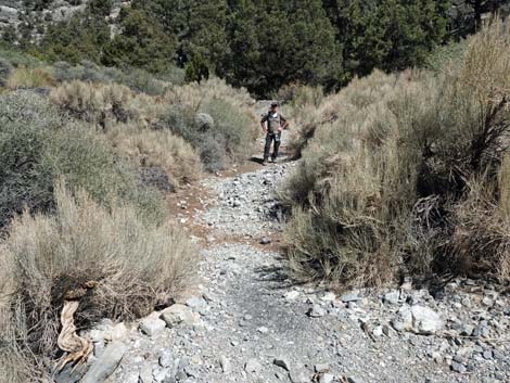
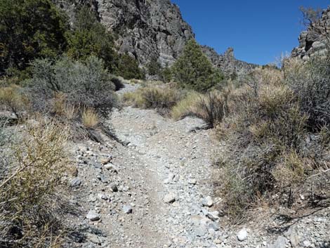
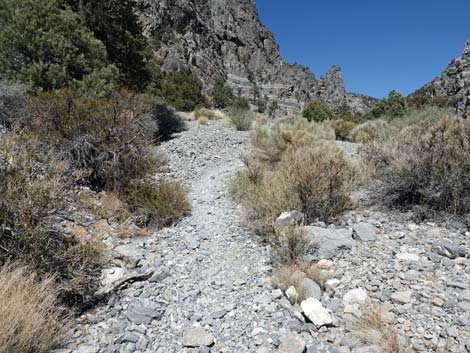
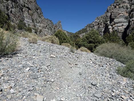
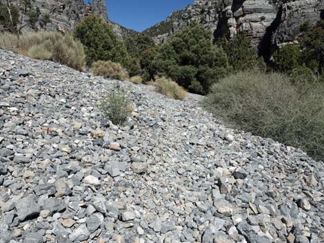
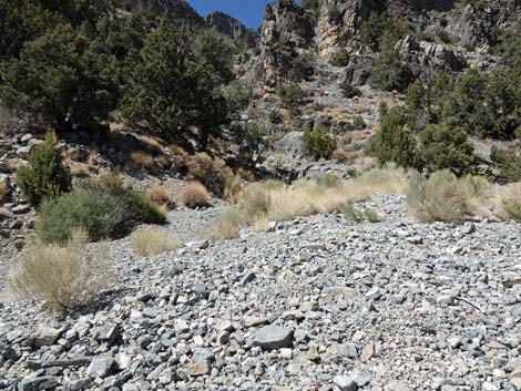
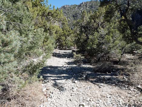
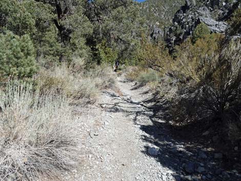
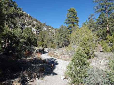
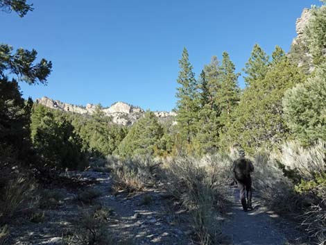
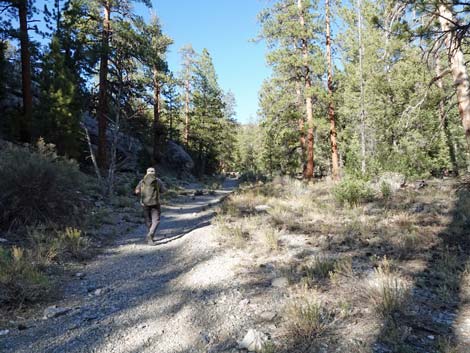
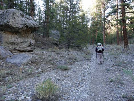
Shortly, the wash narrows abruptly, and the old road passes another gate at the narrowest point. In the wash, where underground water from the mountains is channeled into a narrow area, the vegetation is relatively lush compared to the trailhead, and there are lots of large, closely spaced shrubs including desert almond, apache plume, saltbush, Mormon tea, rabbitbrush, lots of little shrubs, and some spring flowers, but there is little shade. Through here, watch for Rock Wrens and Black-throated Sparrows, species typical of the lower-elevation desert mountains. Beyond the second gate, the wash opens up to several hundred yards wide, and the old road runs essentially straight up the canyon. Along this part, the grade seems fairly steep, and the old road is covered with loose gravel, making the hike seem hot (little shade), long, and steep. About 1.3 miles out (Wpt. 02), Deadman Canyon narrows and the nature of the environment changes to a pinyon-juniper forest. At this point, the hike seems to get easier and more pleasant (the trail is just as steep, but it seems easier, and there is some shade). |
 |
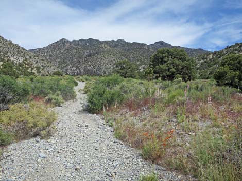
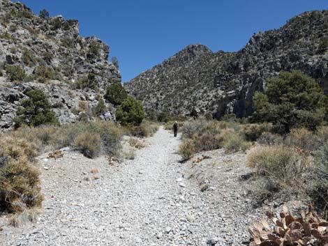
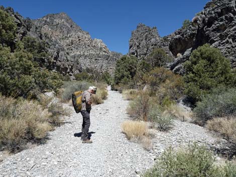
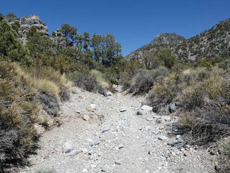
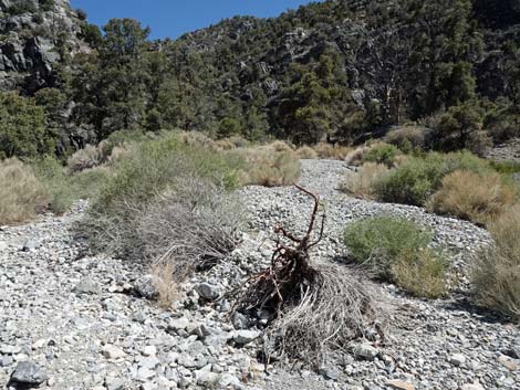
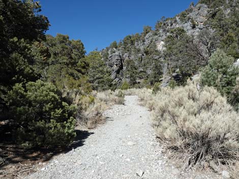
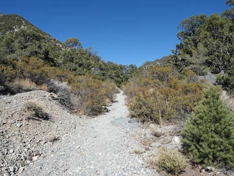
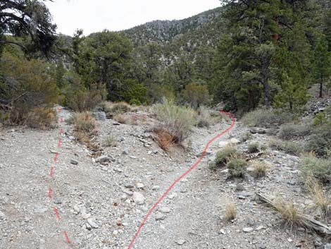
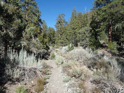
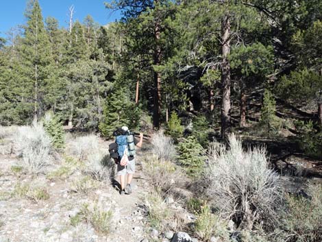
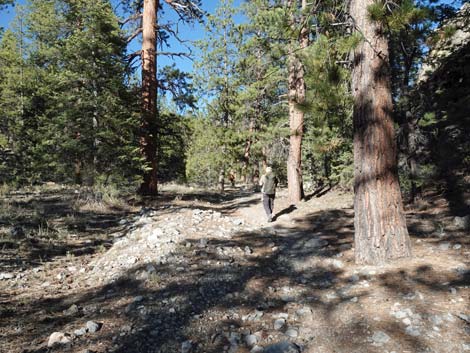
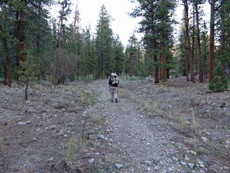
In the canyon, the trail switches between following the old road and following the wash. Sometimes it is hard to tell which is the best route, but the canyon is narrow and there is nowhere to get lost, so it doesn't really matter. In this part of the canyon, the single-leaf pinyon pines and Utah juniper offer lots of shade and there are lots of robust desert almond, apache plume, cliffrose, sagebrush, and other shrubs. At about 2.2 miles out, a large flashflood in July 2008, came down a side canyon and covered the bottom of Deadman Canyon with rocks and debris. At 3.0 miles out, there is a nice, but dry, camping area (Wpt. 03) where hikers can drop the packs and rest. Watch for Spotted Towhee, Juniper Titmice, and a variety of flycatchers, species typical of these middle-elevation mountains. |
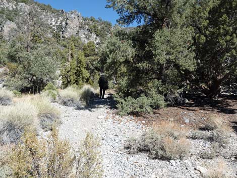
 Trail follows old road up towards mouth of Deadman Wash (view NE) |
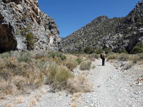
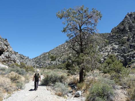
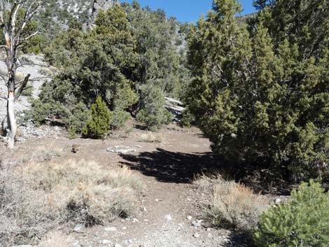
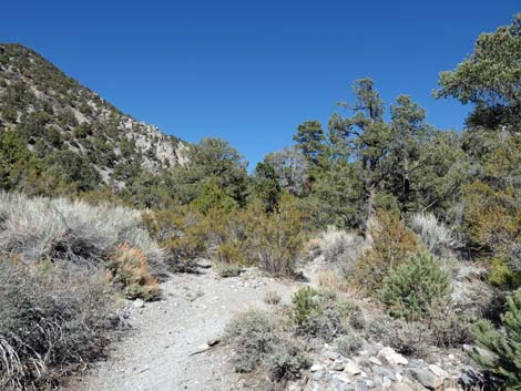
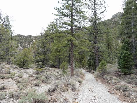
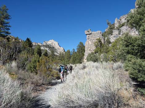
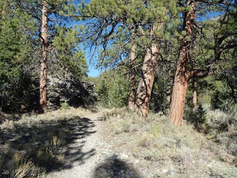
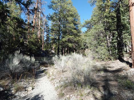
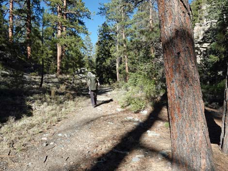
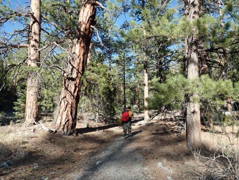
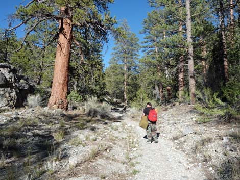
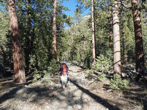
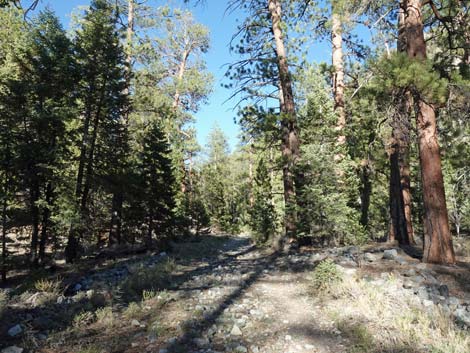
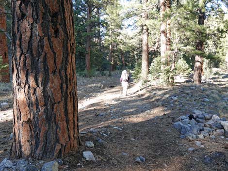
At 3.7 miles out, hikers round a corner and see the first ponderosa pines (Wpt. 04). Shortly the pinyon pines and junipers fade away, and the entire forest is composed of ponderosa pine with a few white fir scattered about. This is now the Hidden Forest, and this is where it really starts feeling like a pine forest; the trail seems even easier, and the air feels cooler, but on the grade doesn't really change that much. For the remaining two miles, the trail wanders up the canyon, which alternates from narrow to wide and back again. Rocky, tree-covered hillsides rise high above the canyon, and in a few place, tall limestone cliffs cap the canyon rim. The understory thins out higher up, giving the typical open, park-like feeling of mature ponderosa forests. In this forest, listen for Hermit Thrush, Western Tanager, and Ruby-crowned Kinglet songs, and the chatter of chipmunks and rock squirrels. Except for the rock squirrel, all of these are species of the higher-elevation desert mountains. |
 Passing cliffs at entrance to Deadman Canyon (view E) |
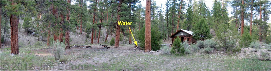
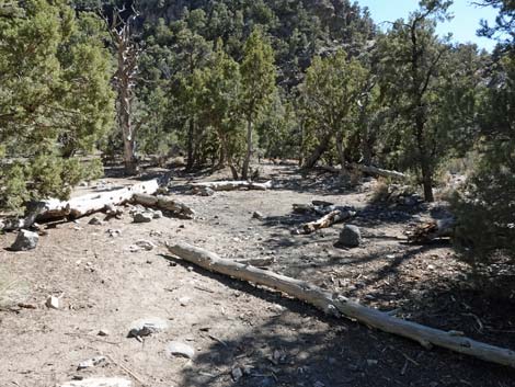
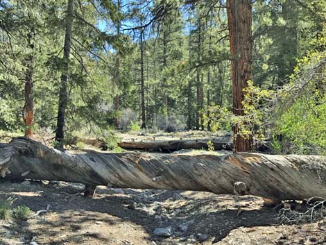
After wandering through the piney woods for a few miles, at about 5-1/4 miles out, the trail becomes faint and two large trees lie across the trail. It might seem that the trail ends here, but continuing around the logs, the trail picks up again and the cabin is only 5-10 minutes farther up the canyon. Continuing up the trail, the canyon bends to the northeast (left). The trail passes the new outhouse on the left, passes the site of an old corral (now gone) on the left, and quickly arrives at the old log cabin (Wpt. 05). Getting to the cabin is easy because the old road runs right up to it, but if you want to hike to Hayford or Sheep peaks, it is a bit confusing at first. The cabin is located in the mouth of a side canyon that comes down from the north; it is not in Deadman Canyon, proper. The cabin is on the east (right) side of the side canyon near the confluence with Deadman Canyon, which continues to the east (farther right). Standing on the porch of the cabin and looking out, Deadman Canyon is to the left (south) and Wiregrass Canyon runs up to the right (north). This distinction is only important for hiking farther up the canyon. |
 Hiker approaching the second Deadman gate (view SE) |
Wiregrass Spring is about 0.13 miles up Wiregrass Canyon beyond the cabin. From the porch of the cabin, look north up Wiregrass Canyon (standing on the porch, facing out, look right) and you will see a use-trail running across an open area and steeply up a hill into the trees. Follow the use-trail for 5-8 minutes to the spring, which is a hole in the ground covered by boards. In some years, a trickle of water runs out and across a flat area with some wiregrass (genus Juncus). The water runs over an edge below the spring, providing a place where birds come to drink and bathe. There is also a sheep drinker below the spring where larger animals can get water; be sure to keep the springbox covered to keep large animals out. |
 Hiker passing gate and Deadman narrows (view SE) |
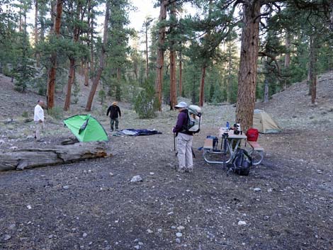
The old cabin area is a nice place to camp, sit in the shade, rest, relax, listen to the birds, and contemplate life during a simpler time when rangers lived in the log cabin and roamed these mountains guarding against poachers. While resting here, be sure to take a few minutes to clean up the site. The cabin and its contents are in pretty good shape, but over-use sometimes produces a lot of trash. The new outhouse (late 2020) is located along the trail just before the cabin. For those who prefer a more open experience, the old latrine is located across Deadman Wash, south of the cabin. It is behind a big tree, so walk across the wash and look around. It is a wooden box with a seat and a hole; there are no walls. Don't poop near the cabin! To return to the trailhead, follow your footprints back down the canyon, as there are no other easy routes available. |
 Trail sign (view SE) |
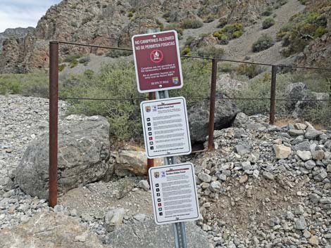
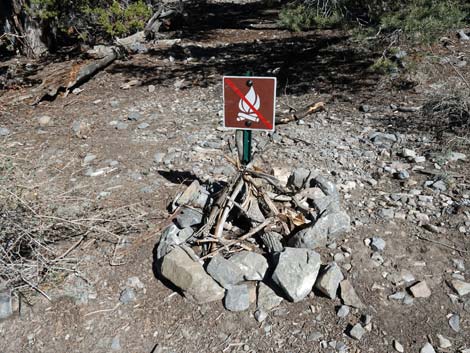
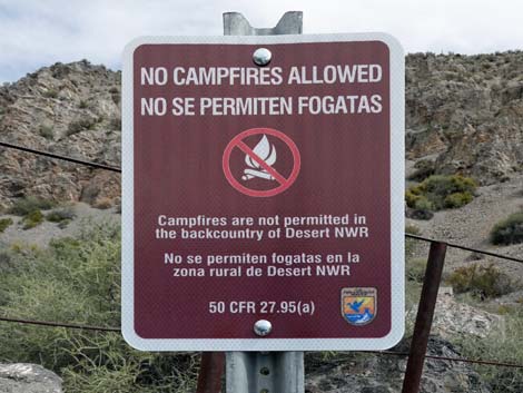 Trail sign: no fires (view SE) |
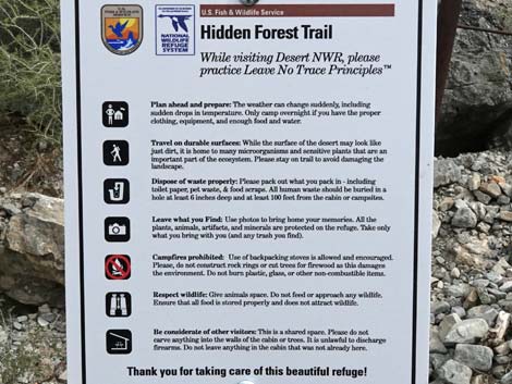 Trail sign: Leave no trace (view SE) |
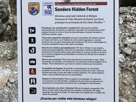 Trail sign: Leave no trace in Spanish (view SE) |
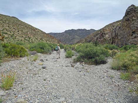 Trail follows gravel wash bottom (view SE) |
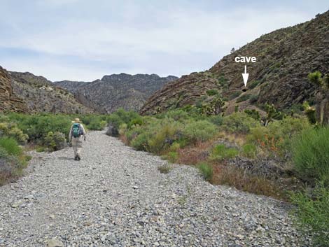 Interesting cave? (view SE) |
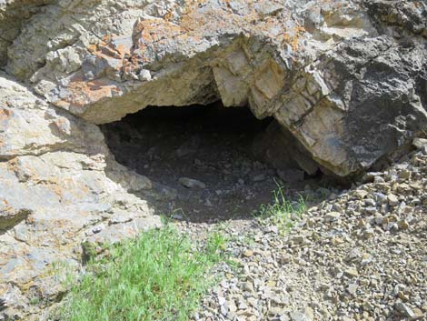 Entrance to interesting cave (view S) |
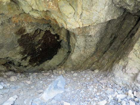 Not-so-interesting cave (but shelter for 2 people during rainstorm) |
 First pinyon pine along the trail (view SE) |
 Loose gravel in wash bottom (view SE) |
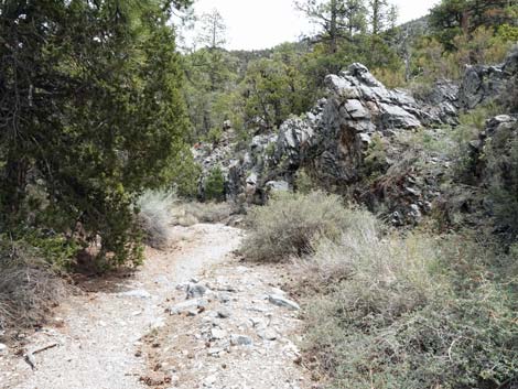
 Hiker approaching the Black Gate Cliffs (view SE) |
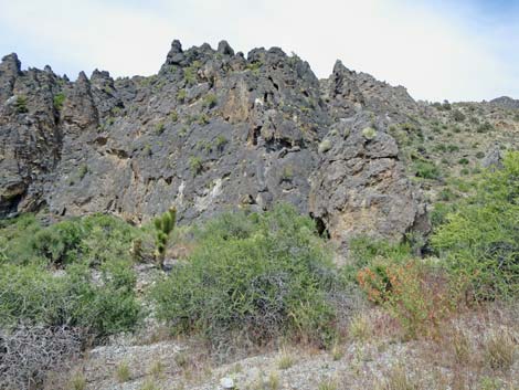 Black Gate Cliffs (view N from trail) |
 The trail starts to have more dirt and less loose gravel (view SE) |
 Approaching first shade tree and campsite (view SE) |
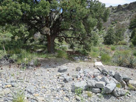 Campsite at first shade tree near trail (view S) |
 Deadman Canyon, about 1.2 miles out (view E) |
 |
 |
 |
 |
 Approaching the top of the open canyon (view SE) |
 Hiker entering the narrower canyon (view E) |
 The narrower canyon remains open and hot (view E) |
 The narrower canyon remains open and hot (view E) |
 Parts of the trail run in an erosion ditch (view NE) |
 Parts of the trail run in on gravel berms (view NE) |
 Hiker climbing over flashflood debris (view E) |
 Hiker atop flashflood debris (view E) |
 Flashflood debris came down this side canyon (view SE) |
 Hiker on the other side of the flashflood debris (view E) |
 |
 |
 Approaching flashflood debris from a canyon on the north side |
 Faint trail atop flashflood debris |
 Flashflood debris came down this side canyon (view N) |
 Crossing over the Flashflood debris |
 |
 |
 Hiker getting shade along the trail |
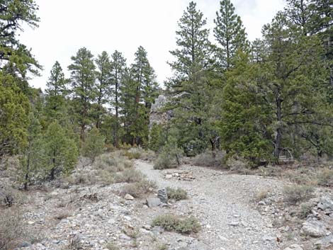
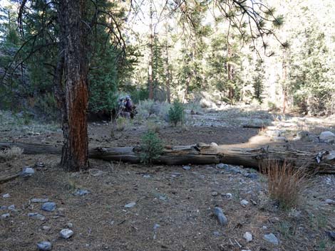
 Approaching Half-Way Camp |
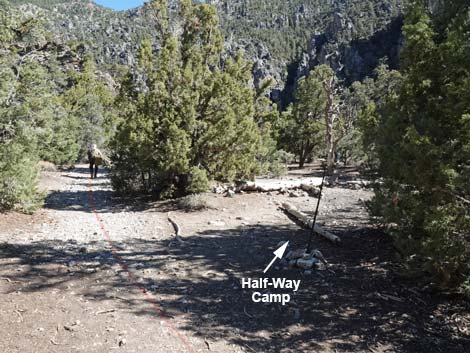 Hidden Forest Trail at Half-Way Camp |
 Half-Way Camp |
 Half-Way Camp |
 Half-Way Camp |
 Trail continues past Half-Way Camp (view SE) |
 No fires on the north side of the trail at Half-Way Camp (view NE) |
 Trees start to provide more shade along the trail (view SE) ... |
 ... but most of the trail is in full sun (view SE) |
 |
 |
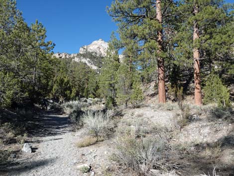
 The first ponderosa pines come into view (view E) |
 The first ponderosa pines along the trail (view E) |
 Nice ponderosa pine (view NE) |
 Trail forks: main trail stays right in the wash (view E) |
 Young ponderosa pines (view E) |
 Older ponderosa pines (view E) |
 Small stand of ponderosa pines (view NE) |
 Trail pass a rock outcrop (view NE) |
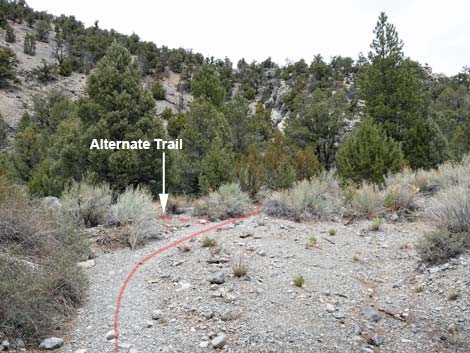 Alternate trail merges back into main trail (view NE) |
 Hiker continuing up the trail (view NE) |
 Hiker approaching Thorn's Hammer (view NE) |
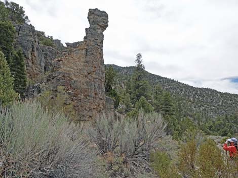 Looking back at Thorn's Hammer (view SW) |
 The area begins to feel like a real forest |
 A young white fir along the trail (view E) |
 Ponderosa pine along the trail (view E) |
 Big sagebrush along the trail (view E) |
 Hiker in Hidden Forest (view NE) |
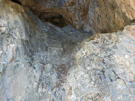
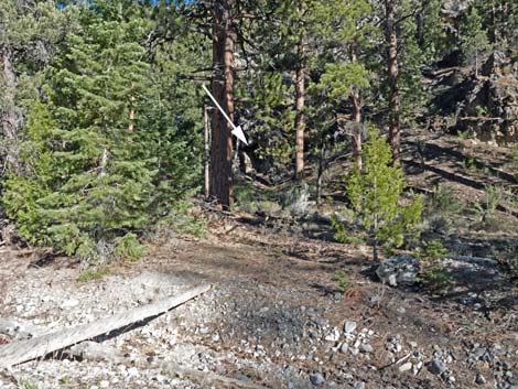 Skylight Cave is visible across the canyon (view SE) |
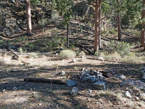 Campsite below the cave (view SE) |
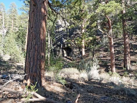 Approaching Skylight Cave (view SE) |
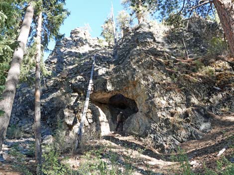 Hiker inside Skylight Cave (view SE) |
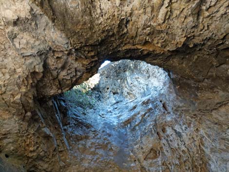
 The "floor" of Skylight Cave (view SE) |
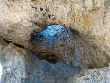 The skylight inside Skylight Cave (view up) |
 View of the sky through the skylight inside Skylight Cave (view up) |
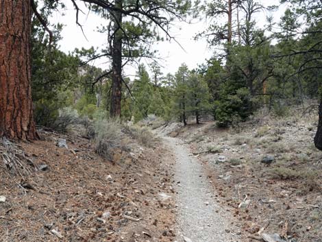
 The trail continues into the hidden forest (view NE) |
 Hiker on trail in Hidden Forest (view NE) |
 |
 |
 |
 |
 |
 |
 Trail runs up through Hidden Forest (view NE) |
 Big ponderosa pine along the trail (view NE) |
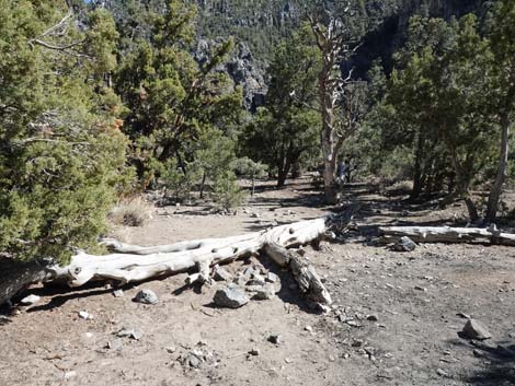
 Hiker beginning detour around fallen trees (view NE) |
 Logs across the trail -- almost there! (view NE) |
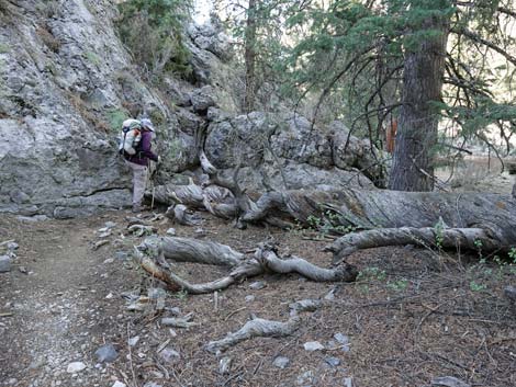 Hiker detouring around fallen trees (view NE) |
 Hiker, past second fallen tree, retuning to the trail (view NE) |
 Sign: no fires in this area (view NE) |
 Hiker on trail in evening light (view NE) |
 The cabin and outhouse come into view (view NE) |
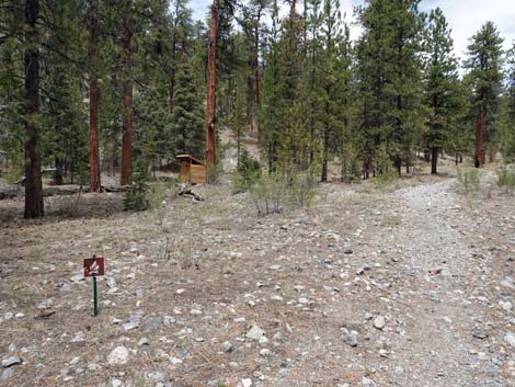 Approaching the outhouse, on the left (view NE) |
 Outhouse (view W from main trail) |
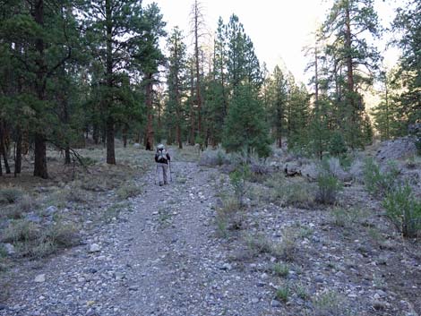 Hiker continuing past the outhouse (view NE) |
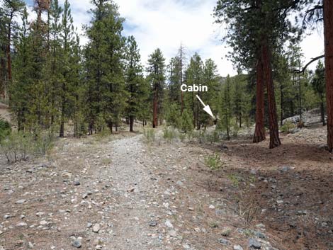 Approaching the cabin (view NE) |
 Hiker approaching the cabin (view NE) |
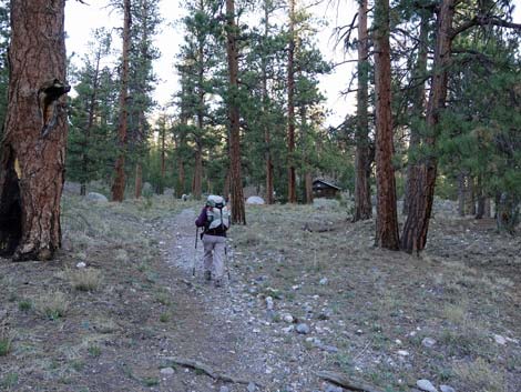
 Arriving at the cabin (view NE) |
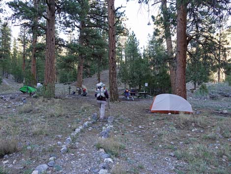 Hiker entering the camp area (view NE) |
 Hiker in the camp area; cabin is to the right (view NE) |
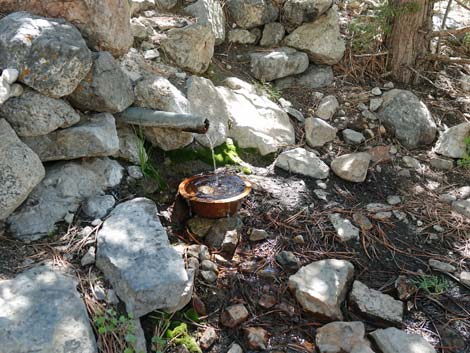 Drinking water pipe at the cabin |
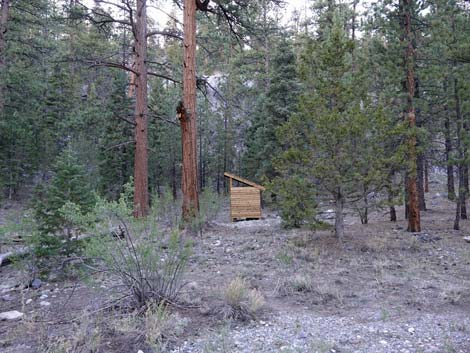
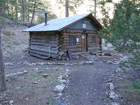 Hidden Forest Cabin, evening light (view SE) |
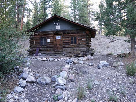 Hidden Forest Cabin, evening light (view E) |
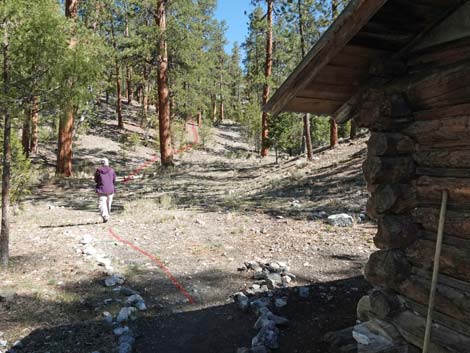
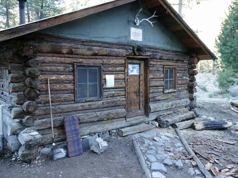 Cabin exterior (view NE) [more photos] |
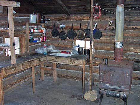 Cabin interior in 2013 ; please keep clean (view N) [more photos] |
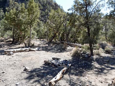
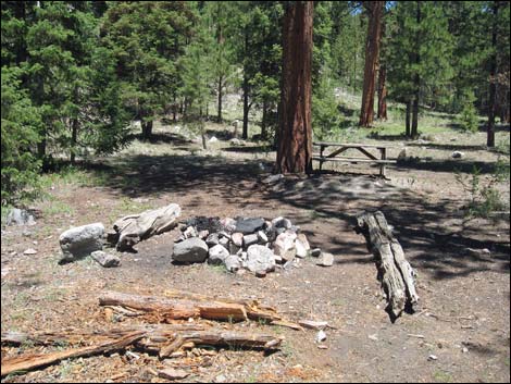 Fire ring and table in front of cabin (view N) [more photos] |
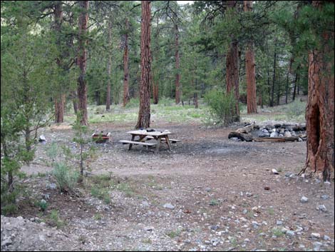 Fire ring and table in front of cabin (view S) [more photos] |
 Trail to Wiregrass Spring (view N from cabin) |
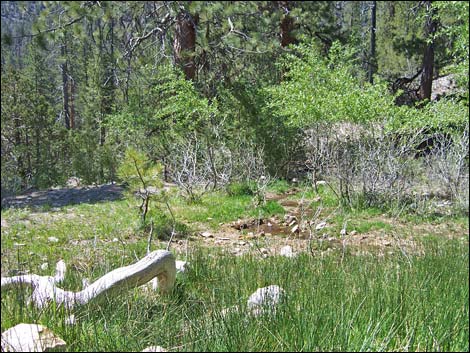 Wiregrass Spring in 2003 (view NW) [more photos] |
Table 1. Hiking Coordinates Based on GPS Data (NAD27, UTM Zone 11S). Download Hiking GPS Waypoints (*.gpx) file.
| Wpt. | Location | Easting | Northing | Elevation (ft) | Point-to-Point Distance (mi) | Cumulative Distance (mi) | Verified |
|---|---|---|---|---|---|---|---|
| 01 | Hidden Forest trailhead | 653158 | 4054877 | 5,833 | 0.00 | 0.00 | GPS |
| 02 | Trail enters Deadman Canyon | 654867 | 4054106 | 6,250 | 1.27 | 1.27 | GPS |
| 03 | Camping area | 657179 | 4054433 | 6,926 | 1.76 | 3.03 | GPS |
| 04 | First ponderosa pines | 657820 | 4054399 | 7,253 | 0.64 | 3.67 | GPS |
| 05 | Hidden Forest cabin | 660324 | 4055281 | 7,943 | 1.89 | 5.56 | GPS |
| 06 | Wiregrass Spring | 660246 | 4055433 | 7,980 | 0.13 | 5.69 | GPS |
| 01 | Hidden Forest trailhead | 653158 | 4054877 | 5,833 | 5.69 | 11.37 | GPS |
Happy Hiking! All distances, elevations, and other facts are approximate.
![]() ; Last updated 250126
; Last updated 250126
| Hiking Around DNWR | Hiking Around Las Vegas | Glossary | Copyright, Conditions, Disclaimer | Home |