Backroads Around Las Vegas, Basin and Range National Monument
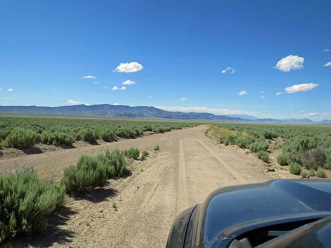
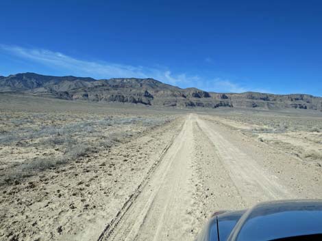
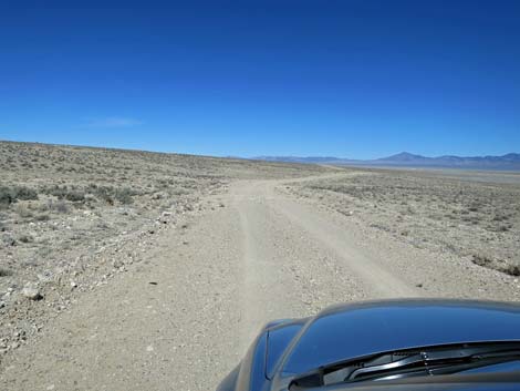
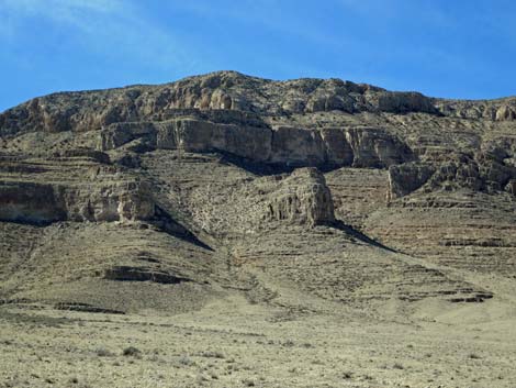
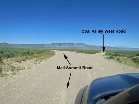 Mail Summit Road approaching Coal Valley West Road (view NW) |
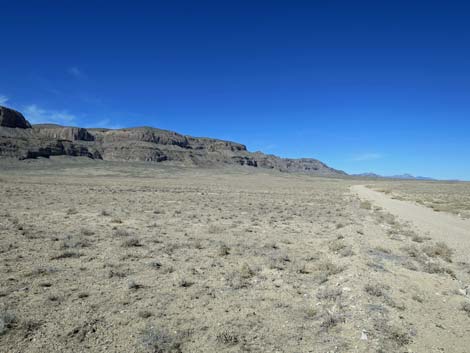
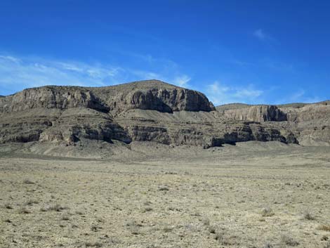
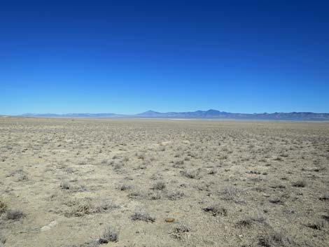
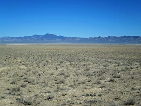
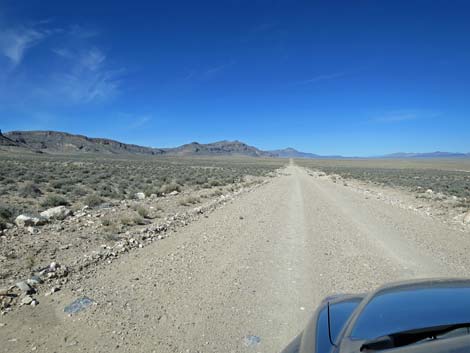
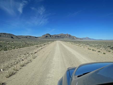
Overview Coal Valley West Road is a well-maintained dirt road that normally is suitable for 2WD vehicles. The road runs along the eastern base of the Golden Gate Range connecting Seaman Wash Road (near Water Gap) in the north with Mail Summit Road (near the bottom of Coal Valley) in the south. The road is a fairly easy drive and gives drivers nice views that stretch from the craggy cliffs of the Golden Gate Range out across Coal Valley. This road provides access to western regions of Coal Valley, wells and corrals, grand scenery, and the east side of the Golden Gate Range. |
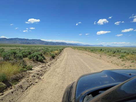
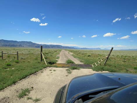
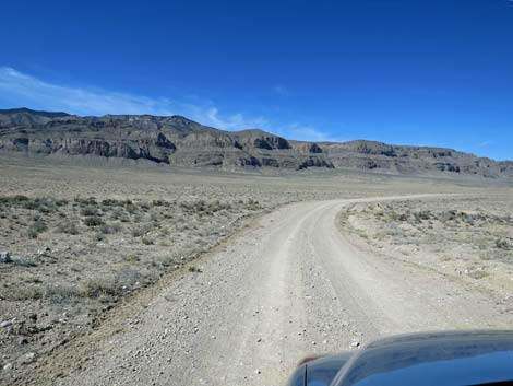
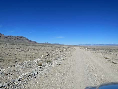
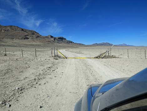
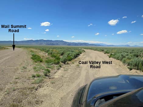 Exiting Mail Summit Road onto Coal Valley West Road (view NW) |
Watch Out Other than the standard warnings about driving in the desert, ...this road is pretty safe, but be sure that your vehicle is in good working condition, carry plenty of water (radiator and drinking), and pack a lunch. Always drive carefully; even though the road is well maintained, there are occasional hazards such as errant boulders in the roadway, mud after heavy rains, and unexpected rills across the road. While out, please respect the land and the other people out there, and try to Leave No Trace of your passage. This road goes into remote areas, so be sure to bring the 10 Essentials. Cell phones don't work along this road. |
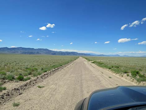
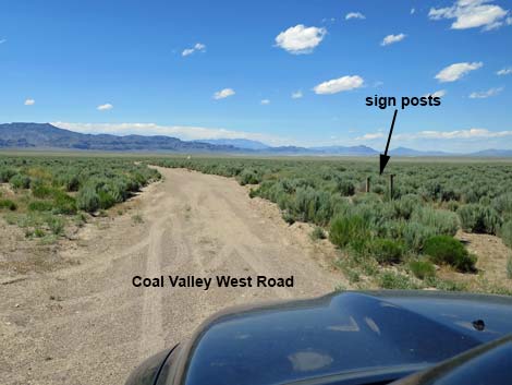 No sign, but the two sign posts remain (view NW) |
Getting to the Road Coal Valley West Road is located in the eastern part of Basin and Range National Monument, about 2.5 hours (130 miles) northeast of Las Vegas. From Las Vegas, drive north on Interstate-15 21 miles to Highway 93. Turn left onto Great Basin Highway (Hwy 93) and drive north past the towns of Alamo (95 miles from Las Vegas) and Ash Springs (102 miles) to the intersection of Highway 93 and Highway 318 (107 miles). Gasoline is available in Alamo, Ash Springs, Rachael, and Lund. Turn left onto Highway 318 and drive west then north for 9.4 miles to Mail Summit Road, on the left. On Mail Summit Road, drive northwest 11.2 miles to a bend in the road. The broad Mail Summit Road bends to the left, while Coal Valley West Road continues straight as a narrower road. |
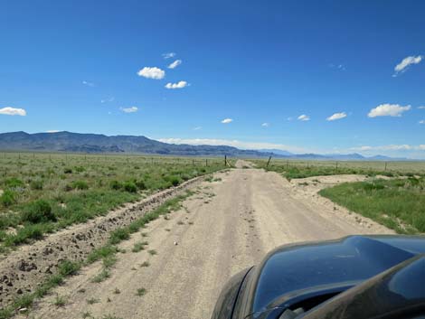
 Merging with the west arm of the triangular intersection (view NW) |
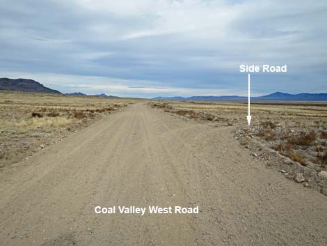
The Road From Mail Summit Road (Table 1, Site 0888), Coal Valley West Road continues straight (northwest) towards the bottom of Coal Valley. At about 4.2 miles out, Coal Valley West Road passes a T-intersection with Cold Springs Road (1912), on the left. This road runs southwest and connects back to Mail Summit Road. Still running straight northwest, at about 4.9 miles out, Coal Valley West Road passes a triangular intersection with Lower Hole Road, on the right. This road runs northeast to Murphy Gap Reservoir, then bends southeast to eventually connect with Seaman Wash Road. In the bottom of the playa, this road can get quite dusty. After running straight northwest on Coal Valley West Road for about 6.0 miles, the road finally bends; this first time to the left. The original road, shown on USGS topo maps continues straight, but apparently it was better to move the road up onto the bajada and out of the heavy playa dust and mud. |
 |
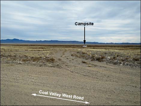
Shortly, Coal Valley West Road passes a minor road to the left. This little-used ranch road runs up into a canyon in the Golden Gate Range. Coal Valley West Road continues northwest, bending more to the north along the base of the Golden Gate Range. At about 7.9 miles out, the road passes a short loop-road to the right that runs out to old water tanks and troughs. This makes for a good campsite in southwest Coal Valley. In this area, two little-used ranch roads run west up into the Golden Gate Range (one ends at an old mine site) that would make nice hikes from camp. By about 10 miles out, the road has drifted a bit to the east, away from the mountains, staying near the edge of the playa. Here, the road is avoiding a large alluvial fan that comes down from a major canyon in the Golden Gate Range. Two old ranch roads head up in that direction. |
 |
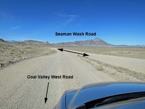
At about 11.9 miles out, the road passes through a fence at a cattle guard. The open area on the north side of the fence makes for a good campsite in western Coal Valley with grand views in all directions. At about 12.8 miles out, Coal Valley West Road passes a side road on the right that leads about 0.3 miles to a well and watering troughs. Continuing north, Coal Valley West Road hugs the base of the mountains, passes a few more old ranch roads that lead west into the canyons, and eventually, after about 20.2 miles, ends when it merges into Seaman Wash Road (Site 1558). |
 Coal Valley West Road approaching a cattle guard (view NW) |
 Coal Valley West Road at a cattle guard (view NW) |
 Water runs across the road to create rills (view NW) |
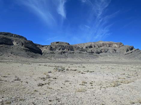
 Big open, bottom of Coal Valley (view NW) |
 Big open, bottom of Coal Valley (view NW) |
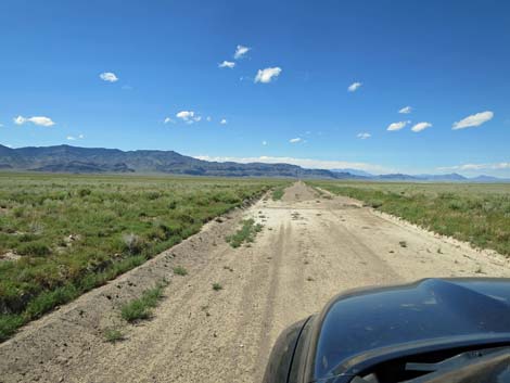
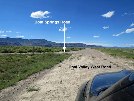 Coal Valley West Road approaching Cold Springs Road (view NW) |
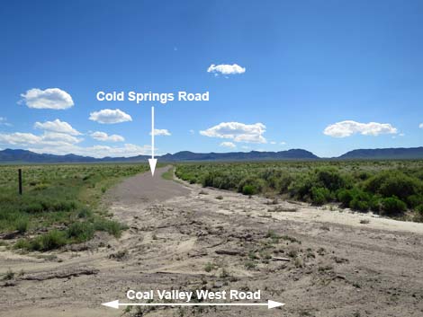 Cold Springs Road (view SW from Coal Valley West Road) |
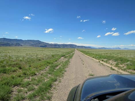
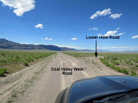 Coal Valley West Road approaching Lower Hole Road (view NW) |
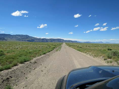
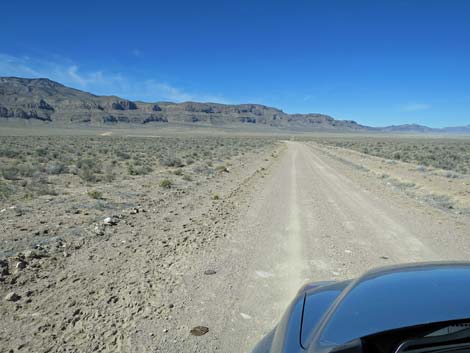 Coal Valley West Road approaching the first curve (view NW) |
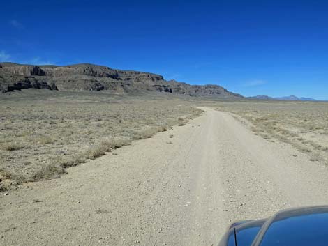
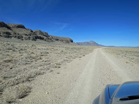
 Coal Valley West Road approaching Golden Gate Range (view NW) |
 Coal Valley West Road near the Golden Gate Range (view NW) |
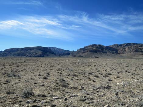
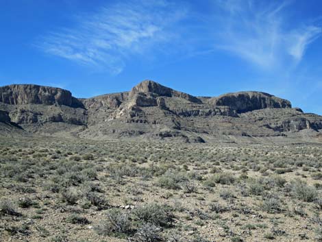
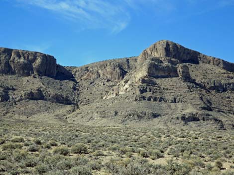
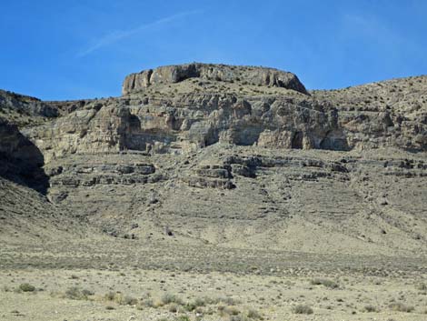
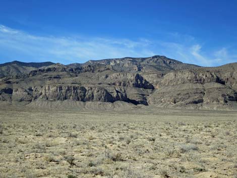 Golden Gate Range (view W) |
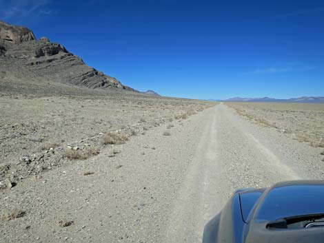
 Coal Valley West Road (view N) |
 Golden Gate Range (view W) |
 Golden Gate Range (zoom; view W) |
 Coal Valley (view NE towards Timber Mountain) |
 Coal Valley (zoom; view NE towards Timber Mountain) |
 Coal Valley West Road (view N) |
 Coal Valley West Road at spur road to water tanks (view N) |
 Spur to water tanks and campsite (view E from Coal Valley W Rd) |
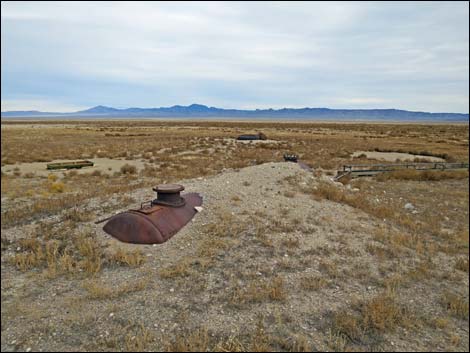 Water tanks at end of spur road (view NE from campsite) |
 Coal Valley West Road (view N) |
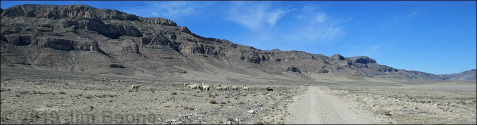
 Sheep below the Golden Gate Range (view W) |
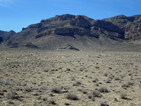 Sheep below the Golden Gate Range (zoom; view W) |
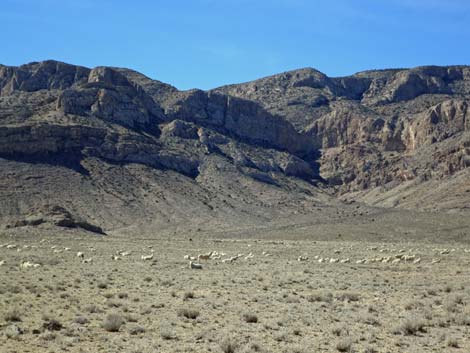 Sheep below the Golden Gate Range (zoom; view W) |
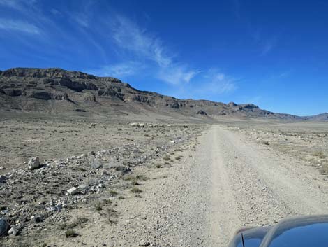 Sheep along Coal Valley West Road (view N) |
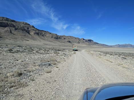 Sheepherders camper trailer (view W) Sheepherders camper trailer (view W) |
 Coal Valley West Road (view N) |
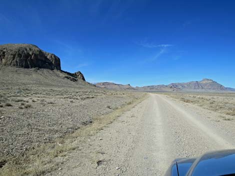
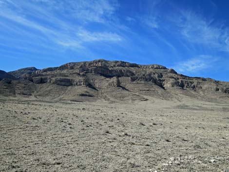 Golden Gate Range (view W) |
 Golden Gate Range (zoom; view W) |
 Coal Valley West Road at cattle guard (view N) |
 Camper at Cattle Guard Campsite (view E) |
 Golden Gate Range (view W) |
 Golden Gate Range (zoom; view W) |
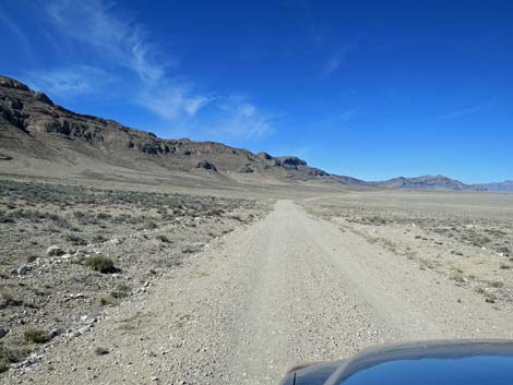
 Coal Valley West Road runs straight (view N) |
 Past a slight curve, Coal Valley West Road runs straight (view N) |
 Golden Gate Range (view W) |
 Golden Gate Range (zoom; view W) |
 Coal Valley West Road runs straight (view N) |
 Coal Valley West Road runs mostly straight (view N) |
 Coal Valley West Road approaching Water Gap (view N) |
 Coal Valley West Road at Seaman Wash Road (view NW) |
Table 1. Highway Coordinates and Distances based on GPS Data (NAD27). Download Highway GPS Waypoints (gpx) file.
| Wpt. | Location | Latitude (N) | Longitude (W) | Elevation (ft) | Point-to-Point Distance (mi) | Cumulative Distance (mi) |
|---|---|---|---|---|---|---|
| 0888 | Mail Summit Rd at Coal Valley Rd | 37.76390 | 115.31380 | 5,208 | 0.00 | 00.00 |
| 1912 | Coal Valley Wt Rd at Cold Spr Rd | 37.82105 | 115.34238 | 5,099 | 4.23 | 04.23 |
| 1558 | Seaman Rd at Coal Valley W Rd | 38.03557 | 115.34776 | 5,020 | 15.96 | 20.19 |
Happy Hiking! All distances, elevations, and other facts are approximate.
![]() ; Last updated 240324
; Last updated 240324
| Basin and Range | Backroads | Hiking Around Las Vegas | Glossary | Copyright, Conditions, Disclaimer | Home |