(aka Wilson Pimple Loop, Potato Knoll Loop)
Hiking Around Las Vegas, Red Rock Canyon National Conservation Area
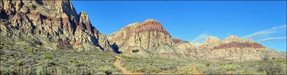
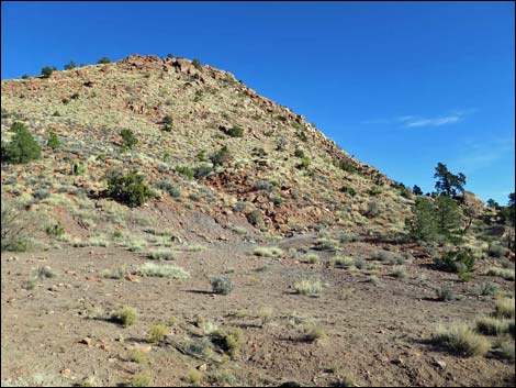
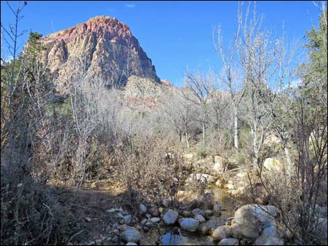
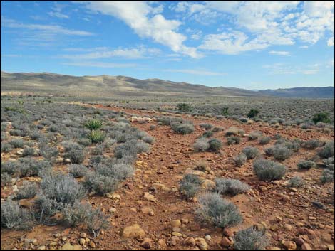
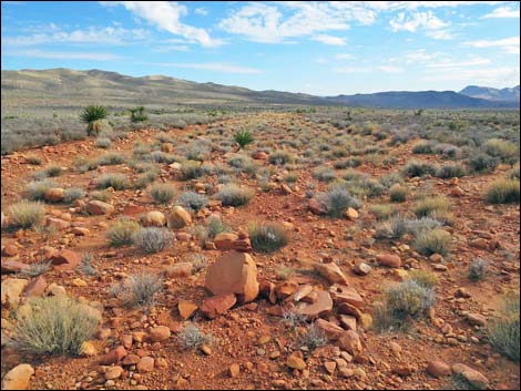
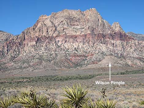 Wilson Pimple, a white hill below the face of Mt. Wilson |
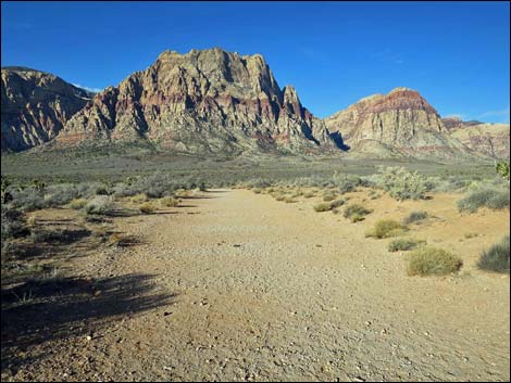
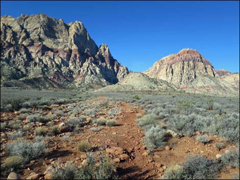
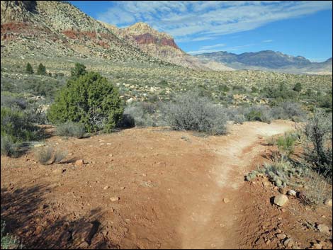
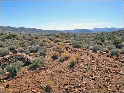
Overview The South Oak Creek Trail is a pleasant 4.3-mile partial loop that crosses Red Rock Valley to the base of Mt. Wilson, traversing a variety of desert habitats (including Blackbrush Flats, typical Mojave Desert Scrub, and Pinyon-Juniper Woodland) along the way. The hike then loops around the back of Wilson Pimple (aka Potato Knoll) to Oak Creek (with water in season), follows the Riparian Woodland downstream along the far side of Wilson Pimple, and finally loops back to meet the out-bound trail, and returns across desert flats to the trailhead. This hike links together several old mining roads that all run out to Wilson Pimple where someone tried to open a quarry or mine. As such, there is a network of old roads and a variety of ways to get to Wilson Pimple. Then on the far side of Wilson Pimple, there is a plethora of use-trails, which can seem confusing, but again provide a variety of ways to do the loop. Link to map or elevation profile. Link to BLM Georeference PDF map file. |
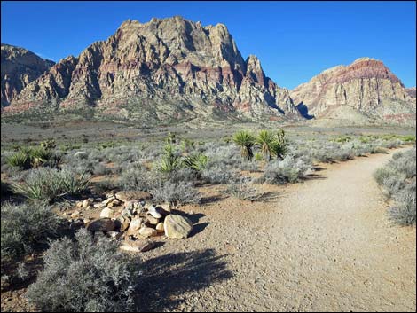
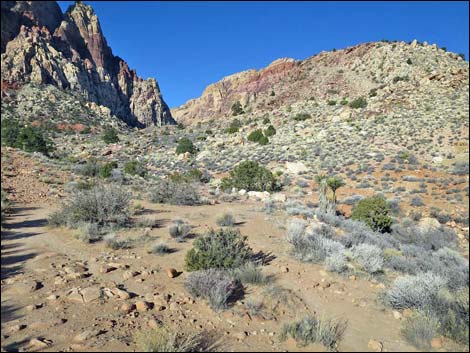
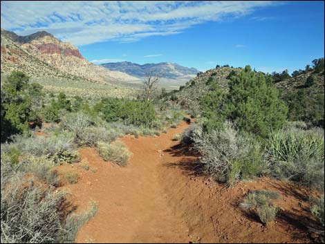
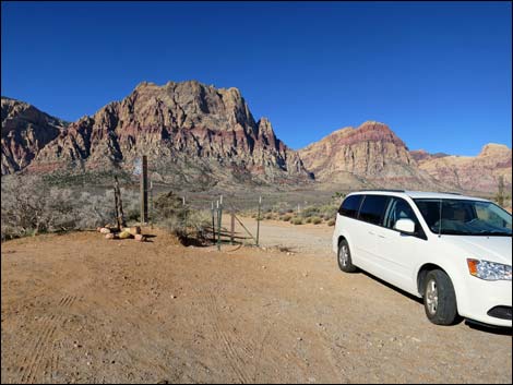 South Oak Creek Trailhead (view W) |
The open views and many options make some general rules useful. First, always stay on main trails. Second, on the way out, always hike towards the saddle between Mt. Wilson and Wilson Pimple (always stay left). Third, behind Wilson Pimple, stay close to the base of Wilson Pimple (always stay right). Finally, after crossing the creek for the second time and running along the northeast base of Wilson Pimple, always stay left on main trails back towards the trailhead. Watch Out Other than the standard warnings about hiking in the desert, ...this is a safe hike, even for kids. Watch for slippery rocks along the creek when water is flowing, and watch for ice during winter. In and around desert washes, always be aware of the potential for flash floods. While hiking, please respect the land and the other people out there, and try to Leave No Trace of your passage. Also, even though this hike is short, be sure to bring what you need of the 10 Essentials. |
 South Oak Creek Trailhead (view W) |
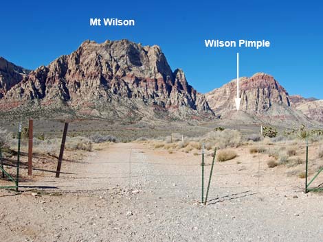
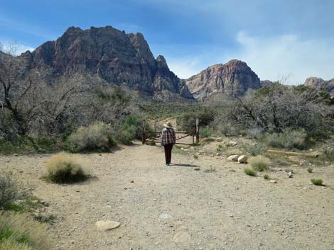
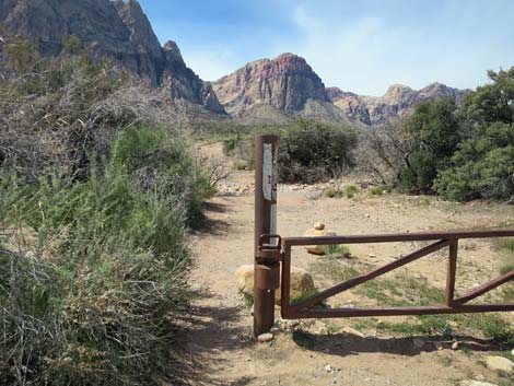
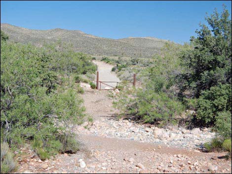
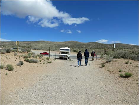
Getting to the Trailhead This hike is located in Red Rock Canyon National Conservation Area, about 40 minutes from town, but not on the Scenic Loop Road. Drive out West Charleston Blvd, past the entrance to and exit from the Scenic Loop Road, to the South Oak Creek Trailhead. Park here; this is the trailhead. The Hike From the trailhead (Table 1, Waypoint 01), the trail runs west, through the barbed-wire gate, and down the old road towards the original Red Rock Campground. Off to the left, this was a nice campground in the old days. The trail runs straight down the old road to a trail sign and heavy metal gate at the edge of Red Rock Wash (Wpt. 02). Vegetation along the wash includes desert willow and shrub live oak, which provides habitat for desert birds. |
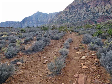
 Trail begins on the old campground entrance road (view W) |
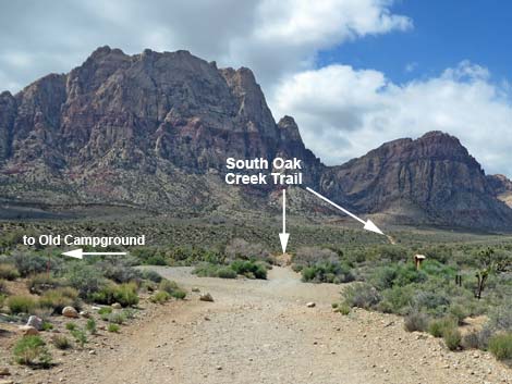
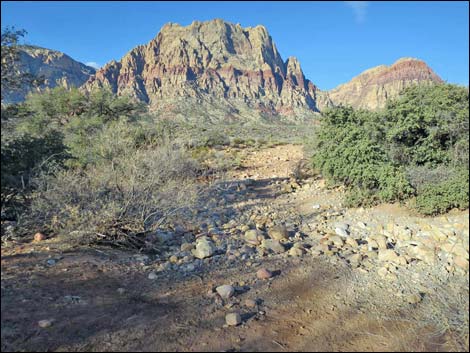
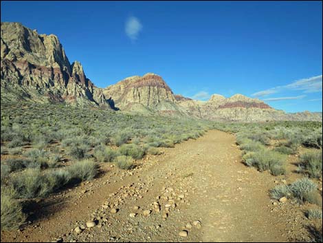
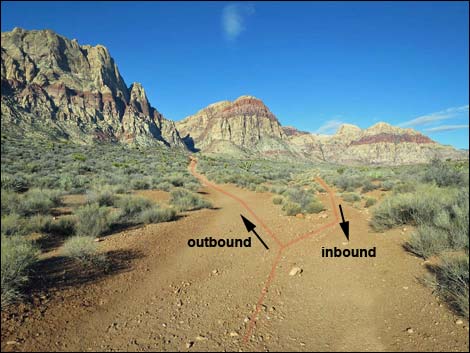
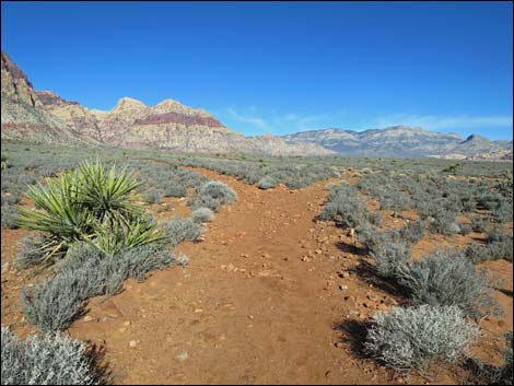
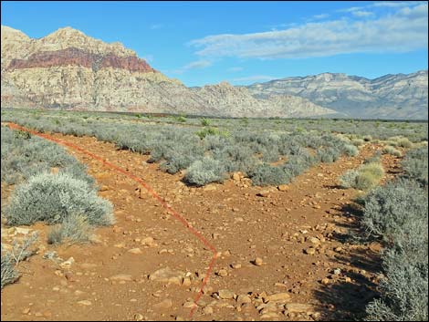
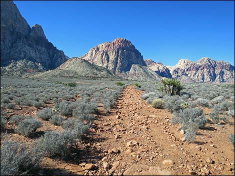
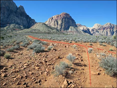
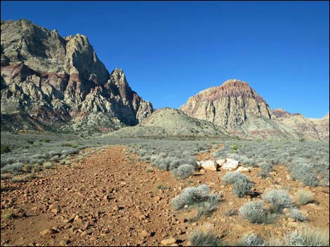
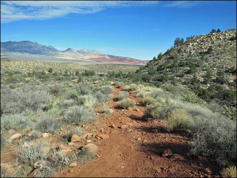
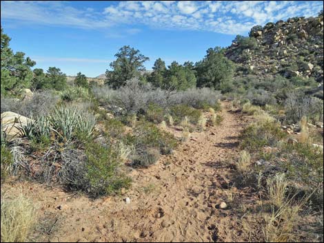
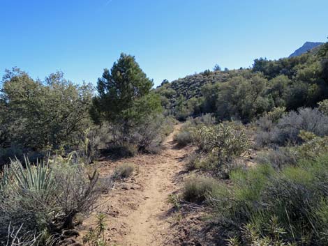
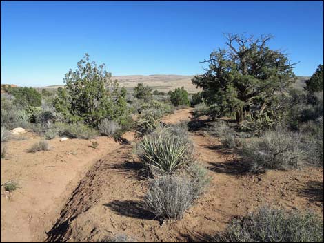
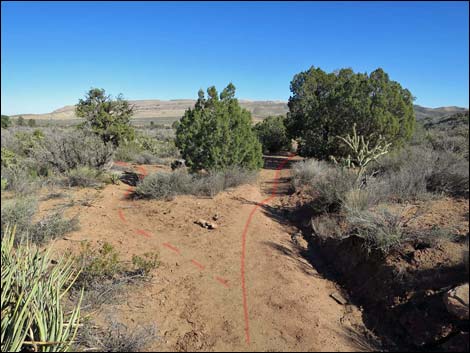
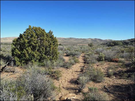
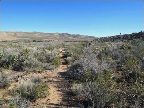
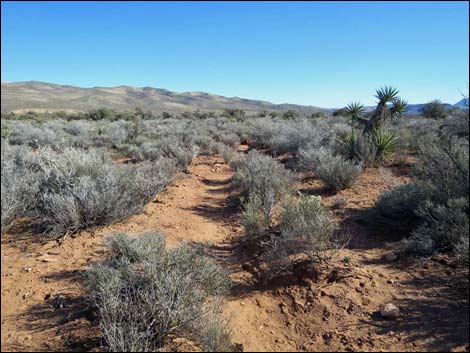
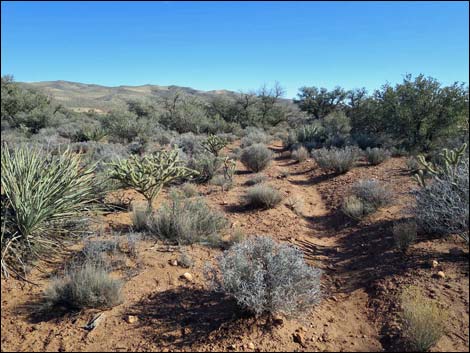
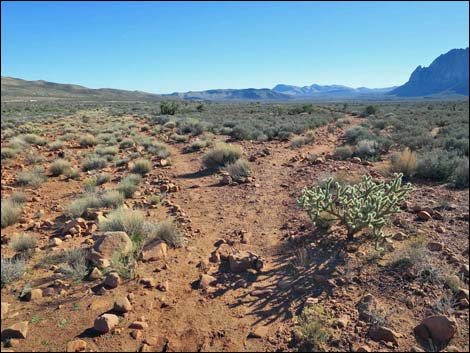
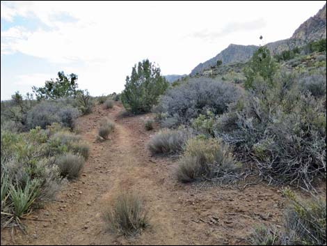
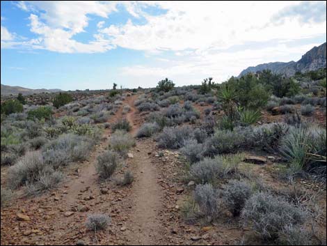
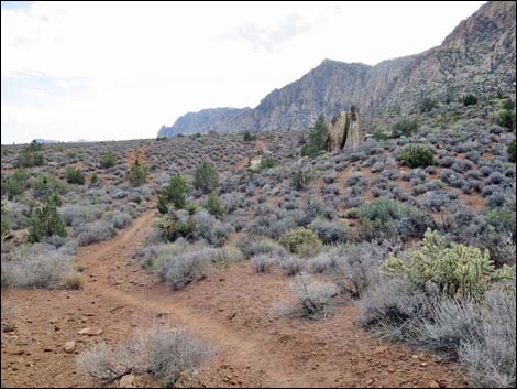
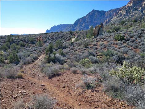
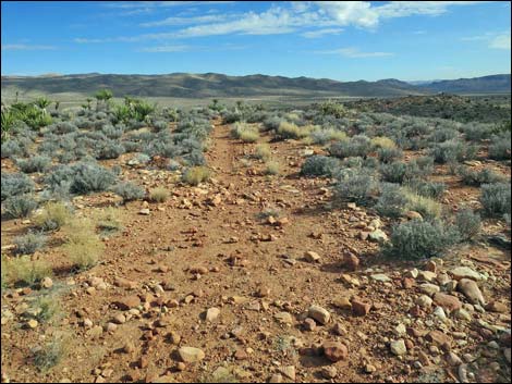
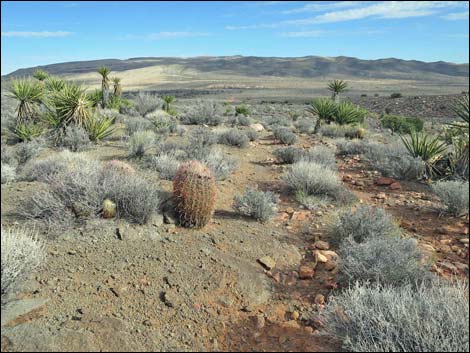
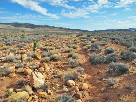
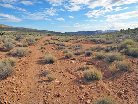
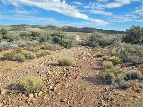
The trail runs around this gate, across Red Rock Wash, and up the old road on the other side. The road curves to the right and runs northwest out across the desert flats. Vegetation through here largely is Blackbrush with a few Buckhorn Cholla, plus a few Mojave Yucca and Joshua Trees. The trail runs northwest on the wide dirt road to a fork (Wpt. 03). Here, the outbound loop stays left, while the returning hikers will come back on the right fork. Staying left, the trail runs up the hillside on a narrow dirt road. The narrow old road, which is quite rocky in places, runs northwest across the desert flats until it forks (Wpt. 04). Here, the loop trail again stays left until finally rejoining the original wide dirt road (Wpt. 05) a short way ahead. On the wide dirt road, the loop trail now runs west and starts up into an open canyon on the south side of Wilson Pimple. An old road forks right, marked by a pile of white boulders, and higher up, an old campsite on the left made for a nice place for me to live during the winter of 1980 when I was climbing in the area. |
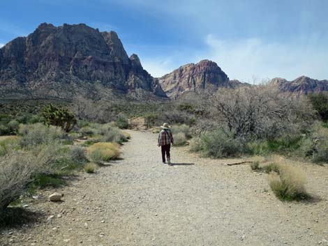 Hiker starting out on the South Oak Creek Trail (view W) |
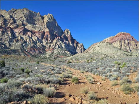
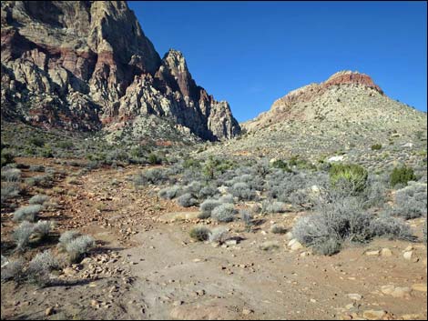
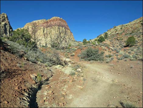
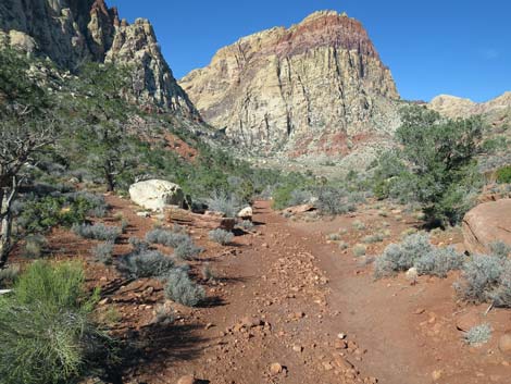
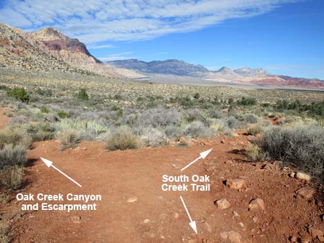
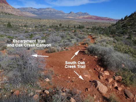
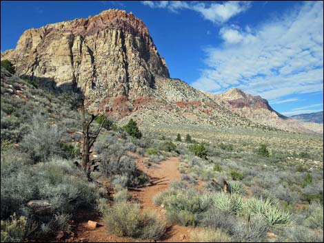
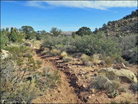
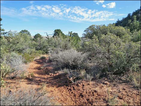
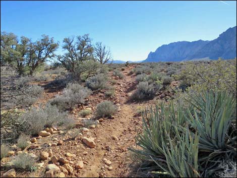
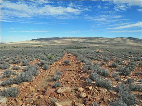
Higher in the canyon the vegetation begins to change, with Utah Juniper, Cliffrose, and Mojave Yucca becoming common. In the canyon, several dirt roads branch off to the right, but the loop trail stays left on the main dirt road up to a saddle (Wpt. 09). At the saddle, the use-trail to Wilson Pimple Peak forks off to the right. The loop trail crosses straight over the saddle and runs down the other side into a nice forest of Singleleaf Pinyon Pine and Utah Juniper. The trail stays out of the bottom of the canyon, running along the western hillside (the toe of Mt. Wilson). Through here, there is a maze of old roads, use-trails, and illegal walk-in campsites, but the loop trail always stay to the right on main trails. As the trail begins to pass Wilson Pimple and the canyon below the saddle opens into Oak Creek Canyon, the trail forks (Wpt. 07). Here, the well-used Escarpment Trail stays left, while Wilson Pimple Loop Trail stays right. Both of these trails look like "main" trails. |
 Old campground entrance road (view W) |
The trail now runs down a low ridge, staying towards the base of Wilson Pimple Hill. The trail winds about and feels like it might be going in the wrong direction, but always stay right at trail junctions and begins to run east on a bench above Oak Creek. At a not-so-obvious fork in the trail (Wpt. 08), the trail again stays right. After crossing a few rocks, the trail again becomes wide and obvious. If this trail junction is missed, hikers can use any of the next two or three side-trails to the right to easily get back on track. With the water in the canyon and the shade from Wilson Pimple, the forest along this section is dense and diverse. Here, the usual conifers mix with Ponderosa Pine (including young trees!), Fremont's Cottonwood, Velvet Ash, and Ashy Silktassel so big they look like trees. |
 Hiker approaching an old gate (view W) |
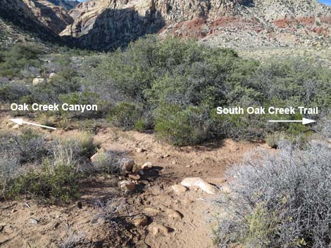
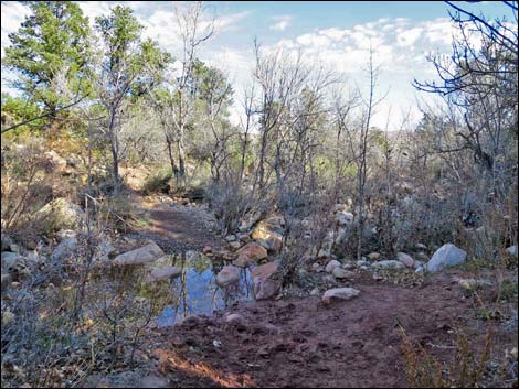
The trail follows Oak Creek downhill, staying on the forested bench between the creek and Wilson Pimple until the streamside bench pinches out against the hillside and forces the trail to cross Oak Creek (Wpt. 09). On the north side of the creek, the trail continues downhill on the rocky bench above the creek, staying right when side trails branch off. Eventually the trail drops back towards the creek, passing a nice outcrop of Shinarump Conglomerate, and crosses back over Oak Creek (Wpt. 10). Now, again on the south side of the creek, the trail winds through a forested area, but eventually begins to feel as if it is wrapping back around Wilson Pimple. Several minor trails branch off through here, but the main trail remains obvious. Heading southeast, the trail joins an old road (Wpt. 11) and continues southeast. As the trail emerges from an area of conifer trees and tall oak and tall shrubs into open desert, the old road forks (Wpt. 12). From this point (Wpt. 12), the goal is to return to the trailhead, which is off to the southeast. Hikers can turn left and hike more directly back to the trailhead, or they can stay right and continue circling around the base of Wilson Pimple. |
 South Oak Creek Trail passes around old gate (view NW) |
Staying left, the road runs east to pass right of a grove of tall, Canyon Oak trees that probably made for another nice campsite in the old days, then curves southeast to rejoin the original wide dirt road (near to Wpt. 04). Staying right (straight), the old road wraps around the base of Wilson Pimple, staying close to the hillside around to the southeast corner of the hill. This old road reaches a T-intersection where hikers can stay right to absolutely complete the circumnavigation of Wilson Pimple and return to the original wide dirt road. Staying left returns more directly to the trailhead, returning to the original wide dirt road (near to Wpt. 05). Returning, South Oak Creek Trail now continues southeast, but stays left at forks in the wide dirt road to maximize the amount of new terrain. Eventually, however, hikers return to the original fork in the road (Wpt. 03) and everyone returns to the trailhead (Wpt. 01) on the same trail. |
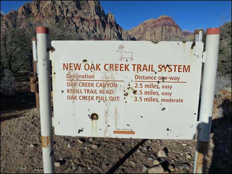 Historical sign by gate, now gone, gives distances (view W) |
 Trail crosses Red Rock Wash (view W) |
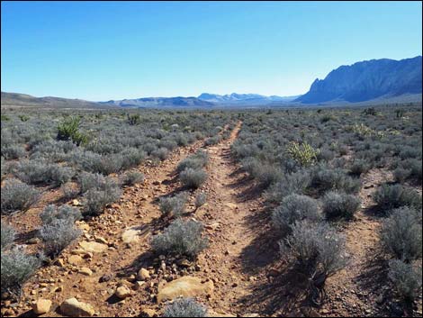
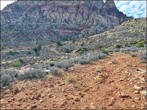
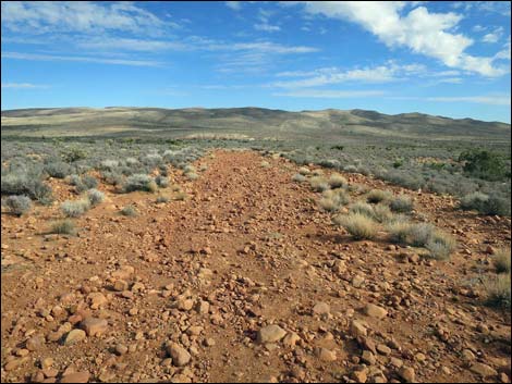
 Old road runs across desert flats (view NW) |
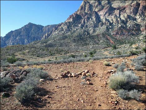
 Old road forks (view NW) |
 All that's left of an historic sign post (view NW) |
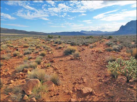
 Smooth trail and grand views across open desert flats (view N) |
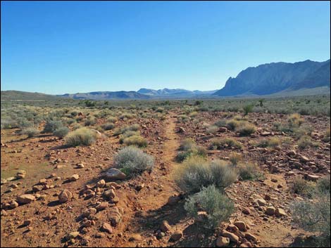
 Rocky trail crosses desert flats (view NW) |
 Approaching fork in the old road (view NW) |
 Fork in the old road, main loop goes left (view NW) |
 Rocky trail crosses desert flats (view NW) |
 Trail merging back into main old road (view NW) |
 Back on the main old road (view W) |
 Side road to the right (possible return trail; view W) |
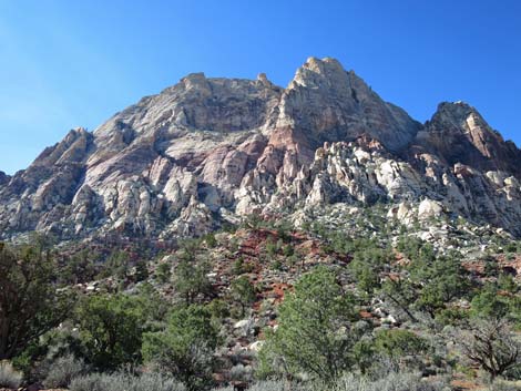
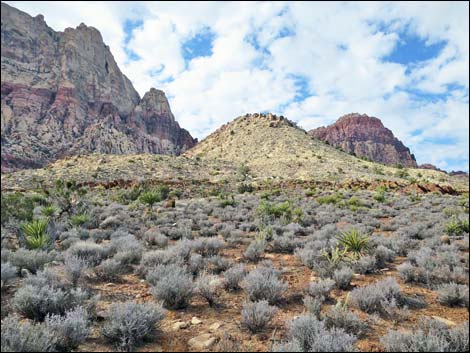
 Wilson Pimple below the face of Mt. Wilson (view W) |
 |
 |
 Side road to the right (possible return trail; view W) |
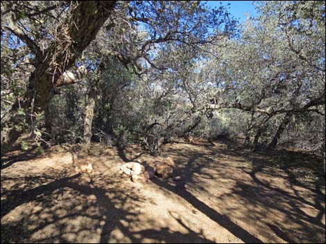
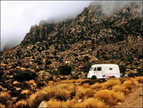 My "Home, Sweet Home" during the winter 1980 (view W) |
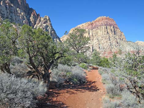
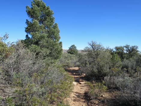
 Trail runs up canyon below Mt. Wilson (view NW) |
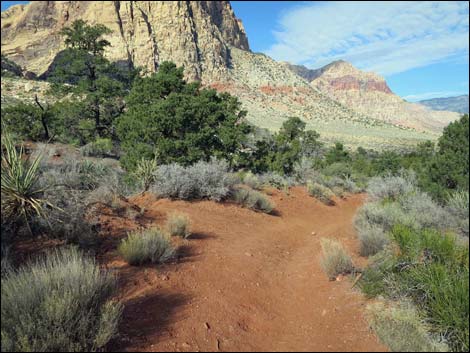
 Climbing towards Wilson Saddle (view NW) |
 Climbing towards Wilson Saddle (view NW) |
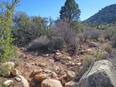
 Old quarry site on the right (view NE) |
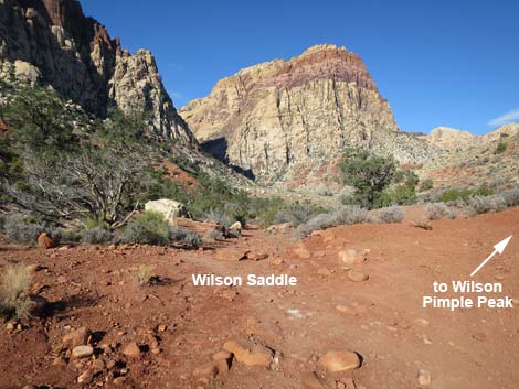 Wilson Saddle (view NW) |
 Descending behind Wilson Pimple (view NW) |
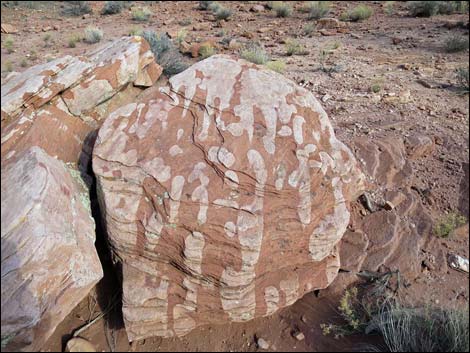 Interesting color in the rocks |
 Wilson Peak (view SW, up) |
 Descending behind Wilson Pimple (view NW) |
 Minor side trail to the left (view N) |
 Descending behind Wilson Pimple (view NW) |
 Trail forks: Escarpment left; South Oak Creek Trail right (view N) |
 Trail forks: Escarpment left; South Oak Creek Trail right (view N) |
 Trail forks: Escarpment Trail left -- Wrong Way! (view NW) |
 Trail forks: South Oak Creek Trail (view N) |
 Descending towards Oak Creek (view N) |
 Fork in the trail: stay right (view NW) |
 Trail stays along edge of Wilson Pimple Hill (view E) |
 Not-so-obvious trail junction: stay right (view E) |
 Trail runs on bench above Oak Creek (view E) |
 Trail runs on bench above Oak Creek (view E) |
 Crossing to north side of Oak Creek (view NE) |
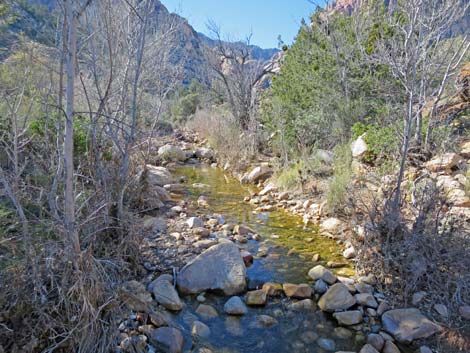
 Oak Creek upstream during winter (view W) |
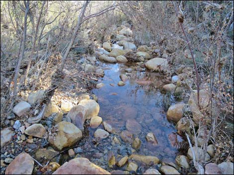 Oak Creek downstream during winter (view E) |
 Trail stays left across the creek (view NE) |
 Trail on bench above Oak Creek (view E) |
 Passing below an outcrop of Shinarump Conglomerate (view E) |
 Approaching Oak Creek crossing (view SE) |
 Oak Creek upstream (view W) |
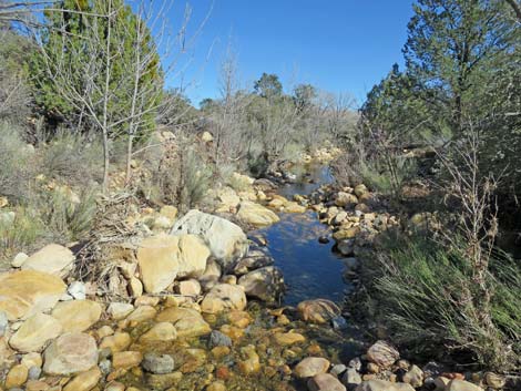 Oak Creek downstream (view E) |
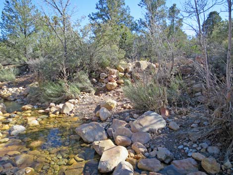 Crossing to south side of Oak Creek (view SE) |
 South side of Oak Creek (view S) |
 Loop stays left; minor side trail forks right (view S) |
 Loop stays left again; minor side trail forks right (view S) |
 South Oak Creek Trail (view SE) |
 South Oak Creek Trail stays right (straight; view SE) |
 Passing through area of conifer trees and tall shrubs (view S) |
 Trail merges with old road (view S) |
 Passing through area of conifer trees and tall shrubs (view S) |
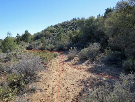
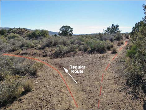
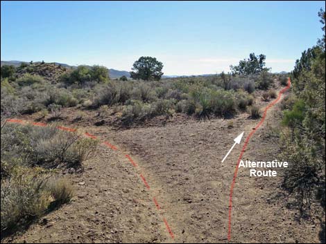
 Old road forks; hikers can go either way (view S) |
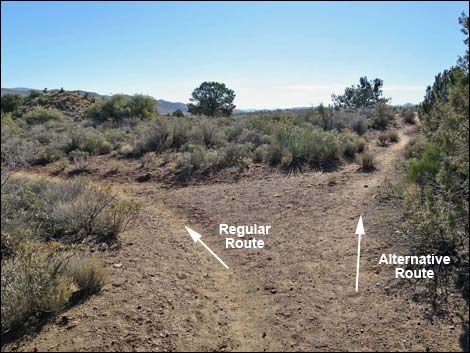
At this fork, hikers can go either way: The Regular Route turns left, and the Alternate Route stays straight (right)
Staying Left at the Fork (Regular Route)
 Fork in the trail: staying left on main loop trail (view E) |
 Staying left on main Loop trail (view E) |
 Nice stand of Canyon Live Oak (view E) |
 A hole in the tree ... |
 ... leads to a shady rest area |
 Trail continues east |
 Fork in the trail: stay right (view E) |
 Getting past the trees |
 |
 |
 Trail angles to the southeast |
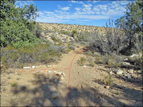
 Crossing a wash (view S) |
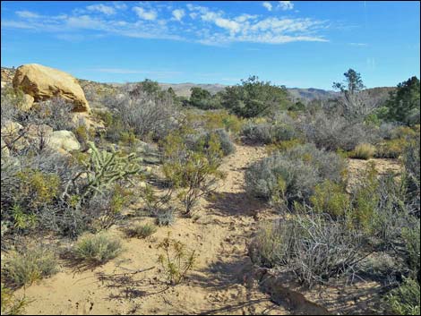
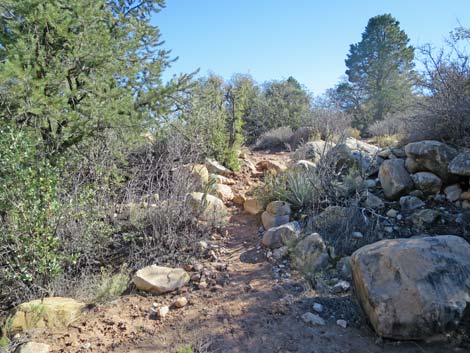
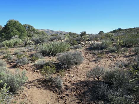
 Nice Blackbrush Flats (view S) |
 Approaching the old wide road (view S) |
 At the old wide road, the trail forks: go either way (view S) |
 More to come ... |
Staying Right at the Fork (Alternative Route)
 Fork in the trail: staying right onto the alternate trail (view S) |
 Staying right on alternate along base of Wilson Pimple (view S) |
 |
 |
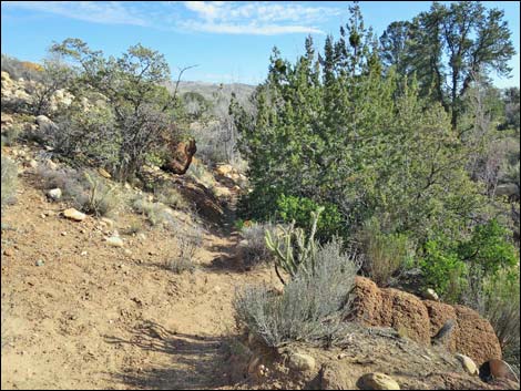
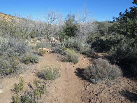
 Trail dips through a canyon (view S) |
 Interesting white sandstone boulders along the trail (view NW) |
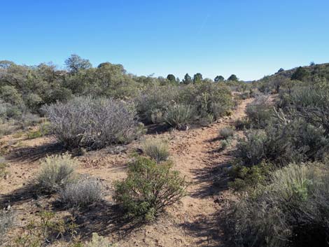
 Trail climbs out of canyon to Blackbrush flats (view S) |
 View towards Wilson Pimple (view NW) |
 Trail reaches a T-intersection (view S) |
 T-intersection (wrong-way view W towards Mt. Wilson) |
 Staying left at the T-intersection (view SE) |
 Trail (old road) runs down gentle hillside (view SE) |
 |
 |
 Approaching the old wide road (view SE) |
 Back on the old wide road (view SE) |
Left and Right Routes Merge
 Back at the wide dirt road, take either fork (view SE) |
 Staying left on the old road a second time (view SE) |
 Following the old road (view SE) |
 Return trail follows the wide dirt road (view SE) |
 Approaching the first fork in the wide road (view SE) |
 Approaching Red Rock Wash (view E) |
 Crossing back over Oak Creek Wash (view E) |
 Hikers approaching the South Oak Creek Trailhead (view E) |
 Hiker approaching the South Oak Creek Trailhead (view E) |
 Hikers exiting the South Oak Creek Trail (view E) |
Table 1. Hiking Coordinates and Distances based on GPS Data (NAD27; UTM Zone 11S). Download Hiking GPS Waypoints (*.gpx) file.
| Wpt. | Location | UTM Easting | UTM Northing | Elevation (ft) | Point-to-Point Distance (mi) | Cumulative Distance (mi) |
|---|---|---|---|---|---|---|
| 01 | South Oak Creek Trailhead | 639689 | 3994796 | 3,756 | 0.00 | 0.00 |
| 02 | Trail Sign and Gate | 639441 | 3994828 | 3,736 | 0.16 | 0.16 |
| 03 | Road Forks, Stay Left | 639284 | 3994936 | 3,742 | 0.13 | 0.29 |
| 04 | Road Forks, Stay Left | 638748 | 3995372 | 3,821 | 0.46 | 0.75 |
| 05 | Merge with Main Dirt Road | 638524 | 3995556 | 3,857 | 0.18 | 0.93 |
| 06 | Wilson Pimple Saddle | 637473 | 3995556 | 4,137 | 0.79 | 1.72 |
| 07 | Trail Forks, Stay Right | 637165 | 3995892 | 4,087 | 0.33 | 2.05 |
| 08 | Trail Forks, Stay Right | 637215 | 3996106 | 4,045 | 0.18 | 2.23 |
| 09 | Trail Crosses Oak Creek to North | 637495 | 3996122 | 3,978 | 0.21 | 2.44 |
| 10 | Trail Crosses Oak Creek to South | 637788 | 3996165 | 3,927 | 0.21 | 2.65 |
| 11 | Trail Joins Old Road | 637898 | 3996027 | 3,926 | 0.14 | 2.79 |
| 12 | Old Road Forks | 637982 | 3995943 | 3,913 | 0.08 | 2.87 |
| 04 | Road Forks, Stay Left | 638748 | 3995372 | 3,821 | 0.67 | 3.54 |
| 03 | Road Forks, Stay Left | 639284 | 3994936 | 3,742 | 0.45 | 3.99 |
| 02 | Trail Sign and Gate | 639441 | 3994828 | 3,736 | 0.13 | 4.12 |
| 01 | South Oak Creek Trailhead | 639689 | 3994796 | 3,756 | 0.16 | 4.28 |
Happy Hiking! All distances, elevations, and other facts are approximate.
![]() ; Last updated 200618
; Last updated 200618
| Hiking Around Red Rocks | Hiking Around Las Vegas | Glossary | Copyright, Conditions, Disclaimer | Home |