Hiking Around Las Vegas, Gold Butte National Monument
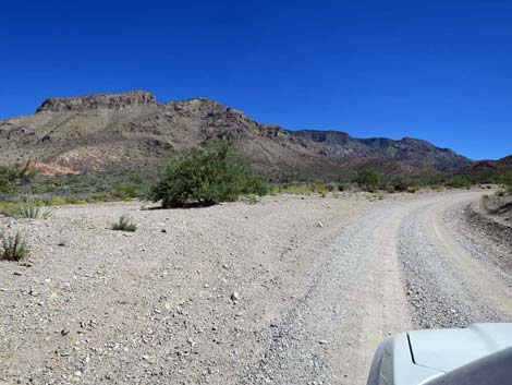
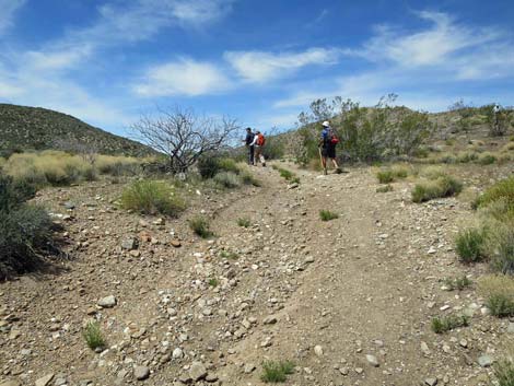
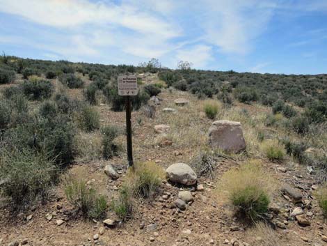
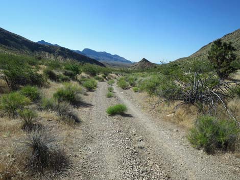
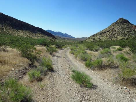
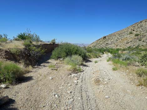
 Whitney Pass Road at Lower Trailhead (view E) Whitney Pass Road at Lower Trailhead (view E) |
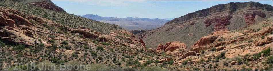
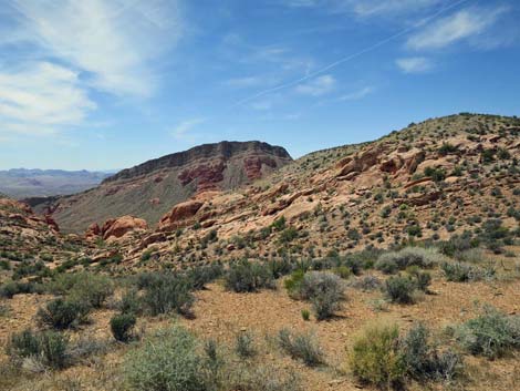
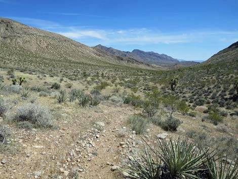
Overview Peak 1354 Loop is a fairly easy and interesting hike that circles around Peak 1354 following old roads with fairly little elevation change. At an overlook, hikers are rewarded with grand views down into Whitney Wash Bowl, and area of towering limestone cliffs pushed up over eroding red sandstone crags. The route makes a complete loop, but it is probably more enjoyable to do it with staged vehicles to avoid hiking back up the Whitney Pass Road, a two-lane gravel road. There are some large Native American agave roasting pits (cooking areas) along the loop, providing evidence that ancient peoples once thought this was a good place to live, or at least a good place for nomadic people to meet for a seasonal rendezvous. This is a convenient hike because it is near Whitney Pocket (a popular camping and picnic area) and because it is accessible in 2WD vehicles. Link to map. |
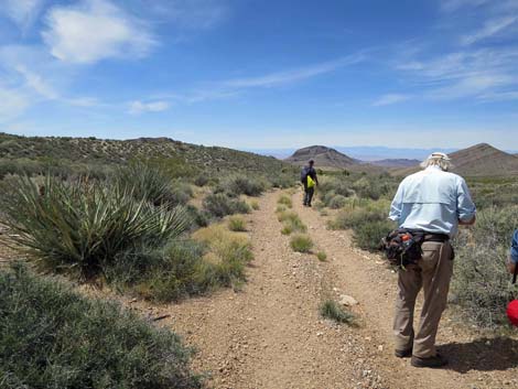
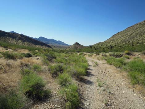
 Lower Trailhead (view NE from Whitney Pass Road) Lower Trailhead (view NE from Whitney Pass Road) |
Watch Out Other than the standard warnings about hiking in the desert, ... this is a relatively safe hike for those who stay on the old roads and don't stray too far out onto the sandstone crags at the several overlooks. This is, however, a wild and remote area without services of any kind (no restrooms, no water, no gas, no food). Bring what you need to survive. Be prepared and be self-reliant. Nobody will find you if you get lost in this area, but walking west or south with return hikers to a road. Some cell phones work near the overlook. While visiting the area, please respect the land and the other people out there, and try to Leave No Trace of your passage. Also, this is a remote area, so be sure to bring the 10 Essentials. |
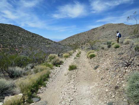
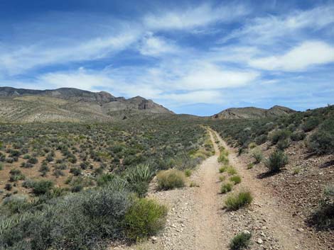
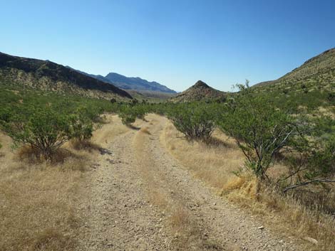
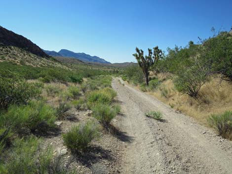
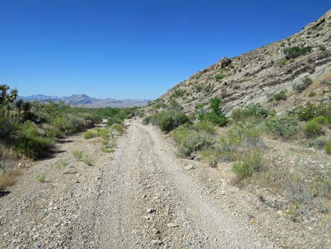
 Whitney Pass Road approaching Upper Trailhead (view E) Whitney Pass Road approaching Upper Trailhead (view E) |
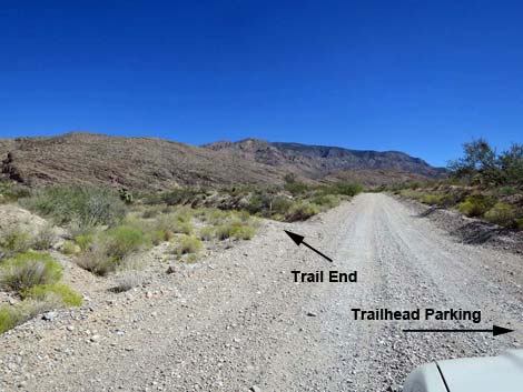
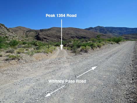
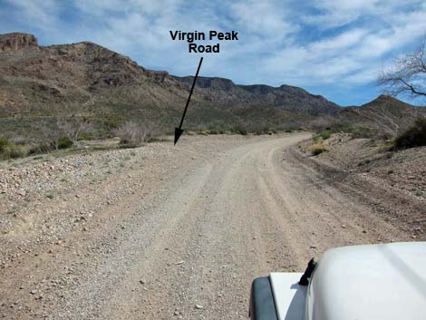
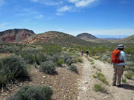
Getting to the Trailhead Peak 1354 Loop is located above Whitney Pocket out in Gold Butte National Monument at the northeast end of Lake Mead, about 2 hours northeast of Las Vegas in a wild, remote, and scenic area. From town, drive out to Gold Butte National Monument. Drive east on Interstate-15 to Highway 170. Take Exit 112 south towards Riverside and Bunkerville. Drive south across the Virgin River, then quickly turn right onto the paved Gold Butte Road. Follow the pavement (there are no paved side roads) for 21 miles until the pavement ends at Whitney Pocket. Continue south on the unpaved Gold Butte Road for about 120 yards to Whitney Pass Road, a graded road to the left. Turn left onto Whitney Pass Road and drive east 1.5 miles to an obscure left turn (Peak 1354 Road) into a narrow wash. This is the Lower Trailhead. Leave a vehicle here (preferably on the south side of Whitney Pass Road) and continue east another 0.9 miles to Virgin Peak Road, on the left. Park here near the intersection; this is the upper trailhead. |
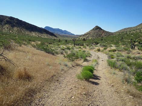
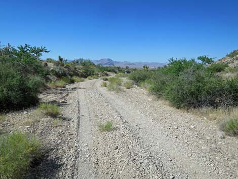
 Whitney Pass Road at Upper Trailhead; plenty of parking (view E) |
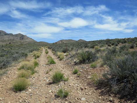
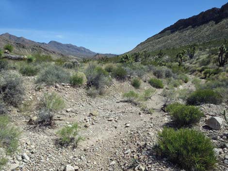
Whitney Wash Loop From the Upper Trailhead (Table 1, Wpt. 01), the route heads north on Virgin Peak Road. This is a legal, designated road that makes for easy walking. This road is little used, so hikers should not expect to be overrun by jeeps and ATVs. After a gentle incline, at about 0.78 miles out, the route passes Virgin Corral (Wpt. 02). The spring here (ahead on the left above the water tank) still trickles after wet winters, but it no longer supplies enough water for cattle. Most of the corral remains intact, and an old 1930s GMC flatbed truck adorns the site. The cab from another old truck laid here until recently, but someone removed it, stealing history from the site. After passing the old water tank on the left, Virgin Peak Road continues another 0.23 miles to a fork (Wpt. 03) that looks more like a wash crossing. Staying left into the wash-road, the route continues another 0.06 miles to where an obvious road exits (Wpt. 04) the wash climbing the hillside to the left. |
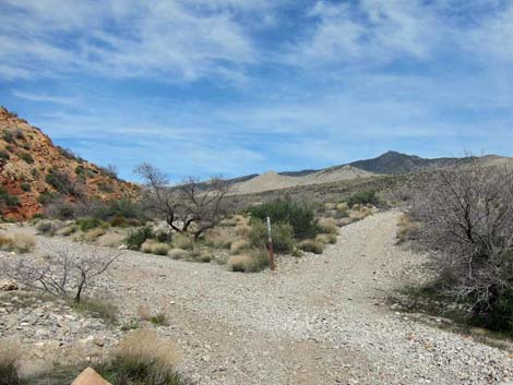
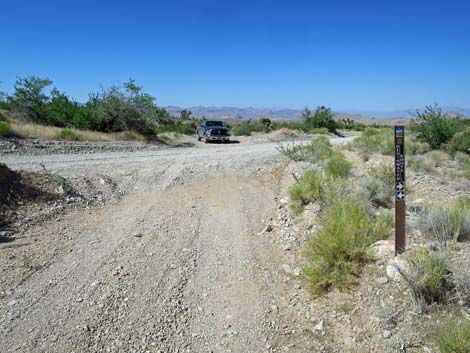
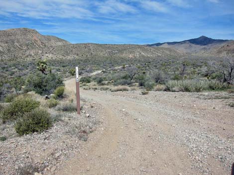 Upper Trailhead at Virgin Peak Road (view N from Whitney Pass Road) Upper Trailhead at Virgin Peak Road (view N from Whitney Pass Road) |
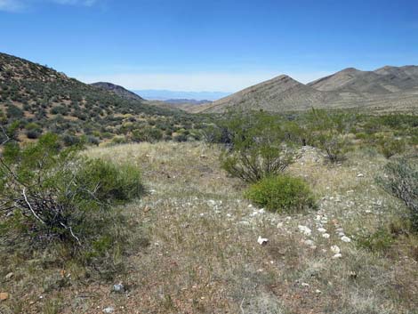
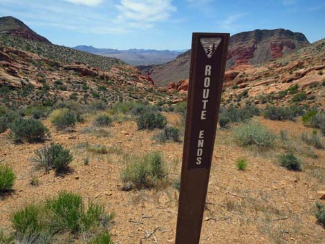
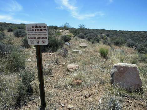
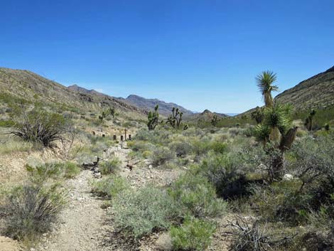
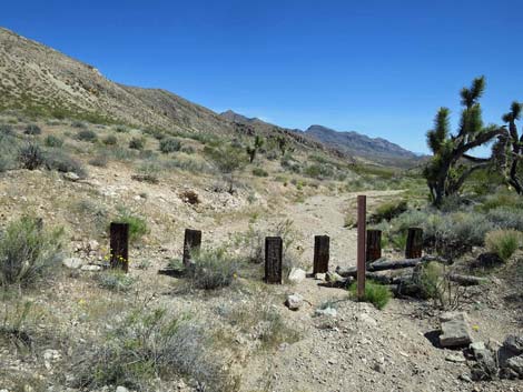
The old road heads northwest and climbs to a low ridge where a carsonite sign (Wpt. 05) warns visitors to care for this prehistoric site. To the right (north) are at least two very large agave roasting pits on a bench overlooking Virgin Wash. It is easy to imagine bands of native people rendezvousing here for a seasonal encampment to trade, share stories, feast, and perhaps look for a mate. The area would have been a Pinyon-Juniper Woodland back then, the stream likely would have been flowing, and the surrounding rocky cliffs would have been covered with Utah Agave. Continuing west, the old road runs down into a shallow canyon where storm waters have washed out the roadway (Wpt. 06) and even most ATVs turn around and abandon the route. At about 1.63 miles out, a wash crosses the road to the northwest and a sign (Wpt. 07) says to drive on roads only. Beyond there, the road stays higher on the south hillside giving nice views down the canyon to the northwest. At about 2.08 miles out, a sign (Wpt. 08) on the left marks a closed road saying that restoration is in progress. This old road is the route home, but first hikers should continue west on the main road for another 0.15 miles to the overlook (Wpt. 09). |
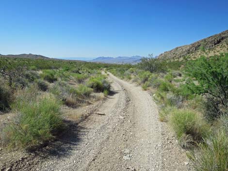
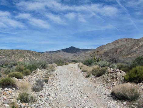 Hiking up Virgin Peak Road (view N) |
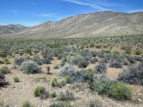
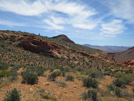
Near the overlook, there is another agave roasting on the right. Perhaps that was the kitchen for an unsociable family? From there, the road bends left and climbs onto a saddle where the road ends (Wpt. 09). Here, looking southwest, hikers are rewarded with grand views down into Whitney Bowl, and area of jumbled geology where eroded limestone and sandstone crop out in interesting formations. The overlook (Wpt. 09) is a nice place for lunch, and when ready to leave, the route returns back up the main road for 0.15 miles to the old road (Wpt. 06), which is now on the right. This old road is a place where off-road drivers just drove in the bushes trying to make a new road. When the travel management plan was developed in 2008, the BLM and the ATV community agreed to stop using this illegal road. Turning right, the route follows the old road up the gentle hillside to a highpoint, then continues down over the other side. For the next half-mile, the route follows along the edge of Whitney Bowl, providing from time to time, additional nice views into the bottom of Whitney Wash. |
 |
The old road eventually bends left (Wpt. 10) avoiding the toe of a ridge to drop into a canyon bordered by limestone hillside and cliffs. Parts of the landscape here burned several years ago, but some is very nice original vegetation with lots of nice Joshua Trees. At about 3.28 miles out, hikers encounter a barricade (Wpt. 11), which marks the end of the legal road. It is not apparent why the road to this point remains open, and it certainly isn't apparent why the road is closed here. Nonetheless, the route continues down this road through the canyon. Finally, at about 4.15 miles out, the route returns to Whitney Pass Road and the Lower Trailhead (Wpt. 10). For hikers who staged a vehicle, this is the end of the trail. For one-vehicle hikers, the route turns left to head up Whitney Pass Road for 0.88 miles to Virgin Peak Road and the Upper Trailhead (Wpt. 01), a total of 5.03 miles for the entire loop. |
 Hiking up Virgin Peak Road, approaching Virgin Corral (view N) |
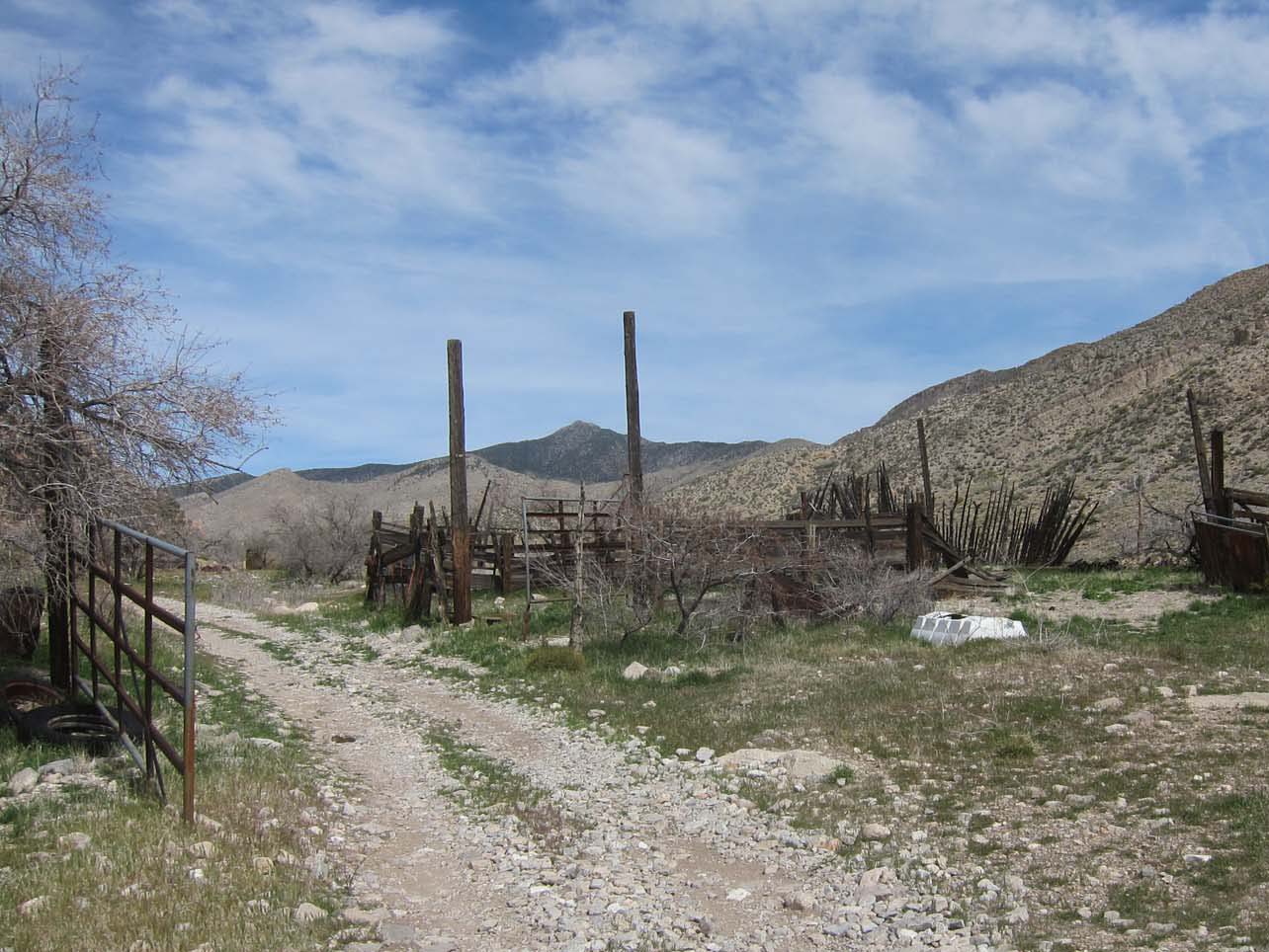 Hiking up Virgin Peak Road, arriving at Virgin Corral (view N) |
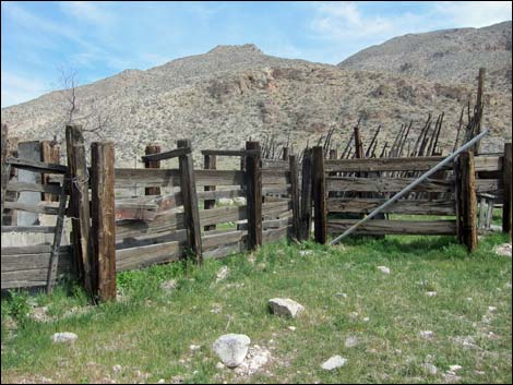 Part of Virgin Corral (view NE) |
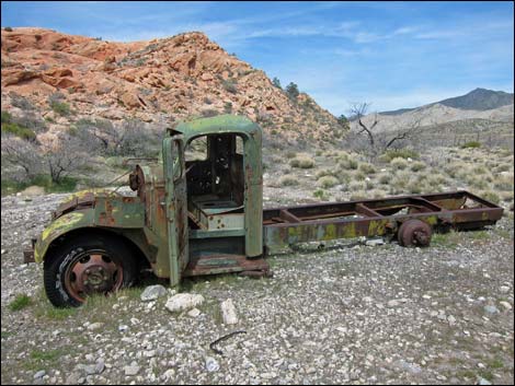 Old flatbed truck at Virgin Corral (view N) |
 Old water tank at Virgin Corral (view NW) |
 Beyond Virgin Corral, the road forks(view N) |
 Staying left into the road-wash (view N) |
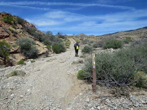 Hiker approaching exit from the wash (view N) |
 Approaching top of the low ridge (view NW) |
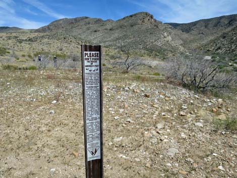 Carsonite sign: protect archeological sites |
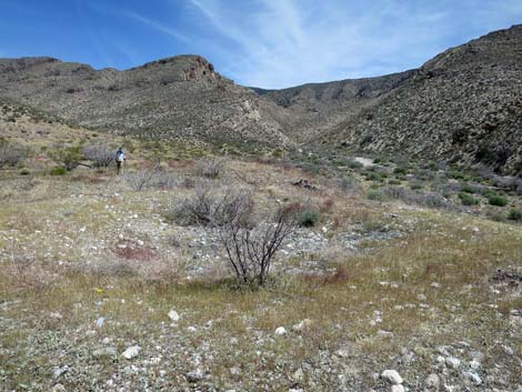 Field of agave roasting pits (view NE) |
 Continuing on narrow road (view W) |
 Starting down into the next canyon (view W) |
 Hiking down the canyon (view W) |
 A wash crosses the road (view W) |
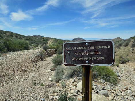 Vehicles stay on road; don't drive down the wash! |
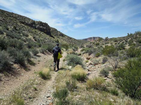
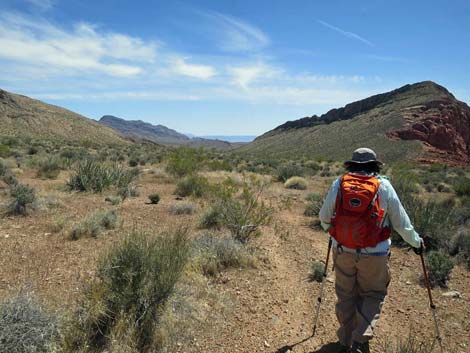
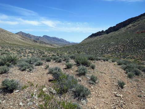
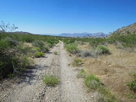
 Easy walking on gentle desert hillsides (view W) |
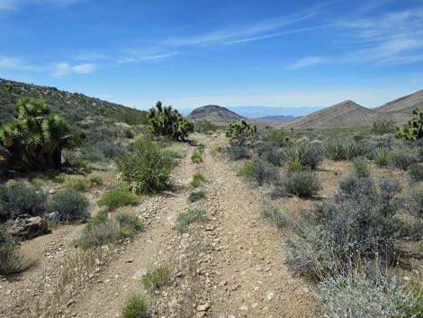 Easy walking on gentle desert hillsides (view W) |
 Easy walking on gentle desert hillsides (view W) |
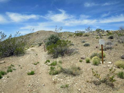
 Approaching the old, closed road; continue west on main road |
 Restoration sign at old, closed road (view S) |
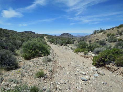
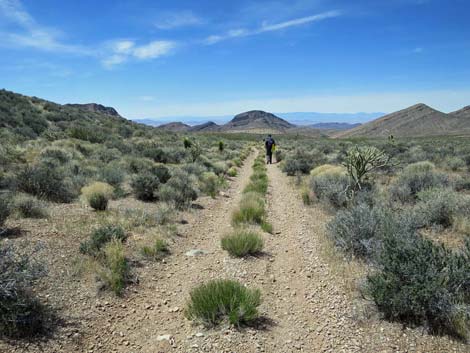
 Continuing on main road (view W) |
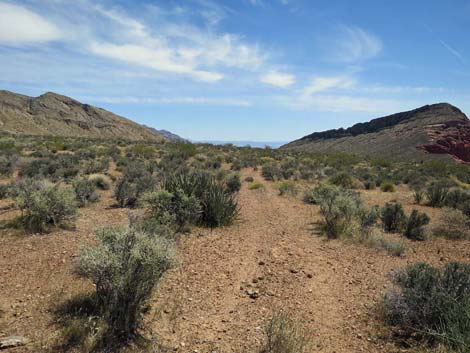
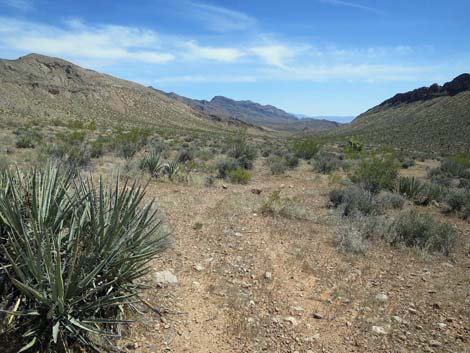
 Grand views down the canyon (view NW) |
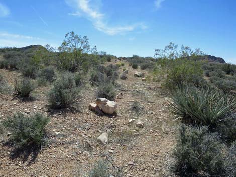
 Solitary agave roasting pit (view W) |
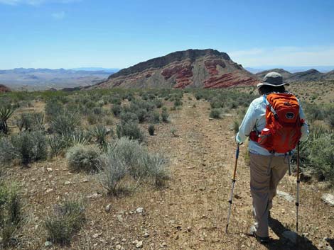
 Hikers arriving at the overlook (view SW) |
 For drivers, the road ends here on the overlook (view SW) |
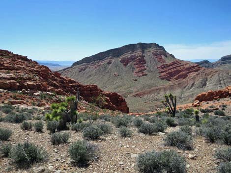
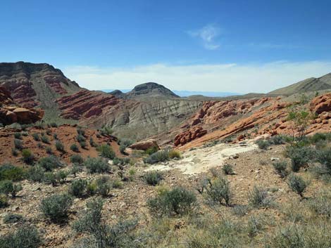
 Grand view into Whitney Bowl (view SSW) |
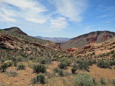 Grand view into Whitney Bowl (view SW) |
 Grand view into Whitney Bowl (view WSW) |
 Exiting overlook; returning up the main road (view E) |
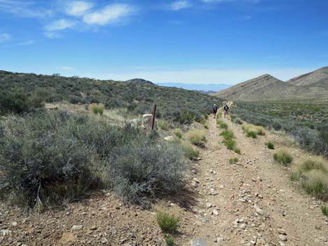
 Returning up main road; approaching closed road (view E) |
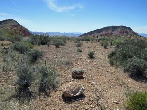
 Closed road (view S from main road) |
 Route follows closed road up gentle hillside (view S) |
 Highpoint on the closed road (view S) |
 Route follows faint old road (view S) |
 Hiker on faint old road (view S) |
 |
 |
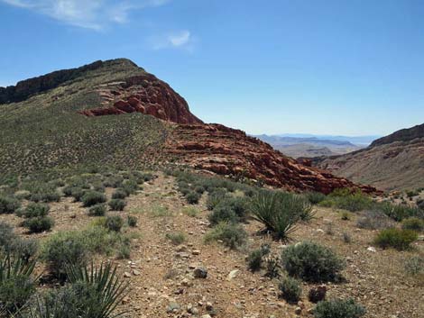 Approaching toe of sandstone ridge (view SW) |
 Another nice view into Whitney Bowl (view W) |
 Continuing towards the ridge (view S) |
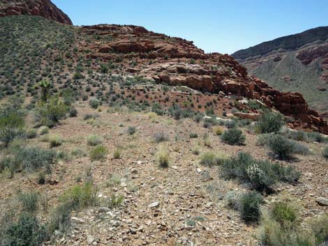 Approaching the toe of the ridge (view S) |
 One last view into Whitney Bowl (view NW) |
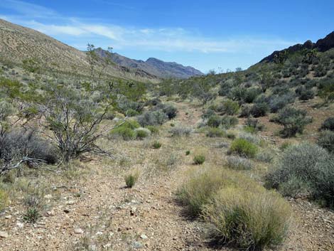 Heading down the valley (view SE) |
 Route continues to follow the two-track road (view SE) |
 Route drops into the wash (view SE) |
 Approaching a barricade across the wash (view SE) |
 Barricade in the wash that ends the legal road (view SE) |
 Route continues down the designated road (view SE) |
 Route continues down the designated road (view SE) |
 |
 |
 |
 |
 |
 |
 |
 |
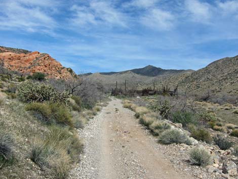
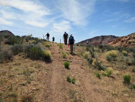
 Approaching Whitney Pass Road (view SE) |
 Approaching Whitney Pass Road and Trails-end (view SE) |
Table 1. Hiking Coordinates and Distances based on GPS Data (NAD27; UTM Zone 11S). Download Hiking GPS Waypoints (gpx) file.
| Wpt. | Location | UTM Easting | UTM Northing | Elevation (ft) | Point-to-Point Distance (mi) | Cumulative Distance (mi) |
|---|---|---|---|---|---|---|
| 01 | Trailhead | 759523 | 4046742 | 3,634 | 0.00 | 0.00 |
| 02 | Virgin Corral | 759280 | 4047944 | 3,915 | 0.78 | 0.78 |
| 03 | Road Forks | 759173 | 4048252 | 3,962 | 0.23 | 1.01 |
| 04 | Road Exits Wash | 759131 | 4048331 | 3,984 | 0.06 | 1.07 |
| 05 | Crest of the Hill | 759071 | 4048374 | 4,010 | 0.05 | 1.12 |
| 06 | Road Enters Wash | 758834 | 4048374 | 3,962 | 0.15 | 1.27 |
| 07 | Road Exits Wash | 758338 | 4048147 | 3,851 | 0.36 | 1.63 |
| 08 | Closed Road | 757619 | 4048158 | 3,747 | 0.45 | 2.08 |
| 09 | Overlook | 757415 | 4048159 | 3,698 | 0.15 | 2.23 |
| 08 | Closed Road | 757619 | 4048158 | 3,747 | 0.15 | 2.38 |
| 10 | Toe of Sandstone Ridge | 757531 | 4047478 | 3,631 | 0.49 | 2.87 |
| 11 | Barricade | 757987 | 4047095 | 3,546 | 0.41 | 3.28 |
| 12 | Trail-end | 758446 | 4045958 | 3,358 | 0.87 | 4.15 |
| 01 | Trailhead | 759523 | 4046742 | 3,634 | 0.88 | 5.03 |
Happy Hiking! All distances, elevations, and other facts are approximate.
![]() ; Last updated 240325
; Last updated 240325
| Hiking Around Gold Butte | Hiking Around Las Vegas | Glossary | Copyright, Conditions, Disclaimer | Home |