Backroads Around Las Vegas, Desert National Wildlife Refuge
previous section | next section
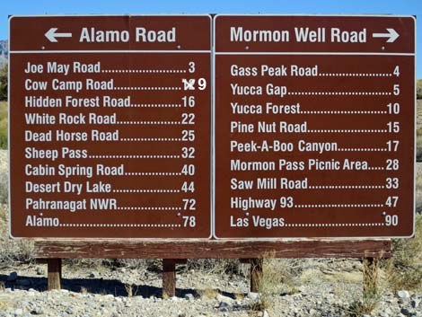 |
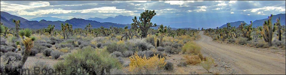
Overview The Mormon Well Road is a long, rough, dirt road that runs across the Desert National Wildlife Refuge from Corn Creek to Highway 93. The road runs across the desert and over the mountains through spectacular country, including towering limestone cliffs; broad, flat valleys; and narrow, winding canyons. The road runs through several desert vegetation life zones, starting in the very dry (stunted) Mojave Desert Scrub Zone and climbing to the Yellow Pine (Ponderosa Pine) Zone. The variety of life zones provides different habitats for birds and other wildlife. Details of the road (including GPS coordinates and maps) are presented on the Mormon Well Road webpage. Here photos show scenery and road conditions from Peek-a-Boo Canyon to Desert Pass, that is, from about 20 to 27 miles out. |
 Mormon Well Road approaching Quartzite Peak Trailhead (view E) |
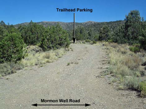 Quartzite Peak Trailhead Parking (view SE from Mormon Well Road) |
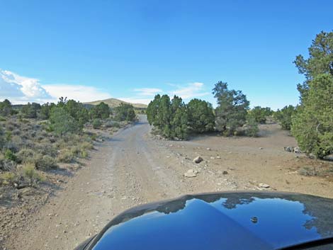
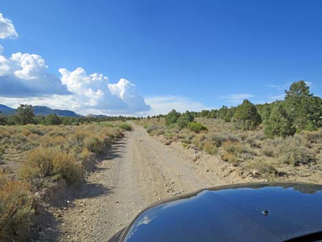
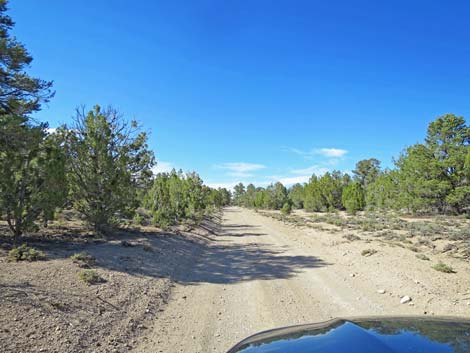
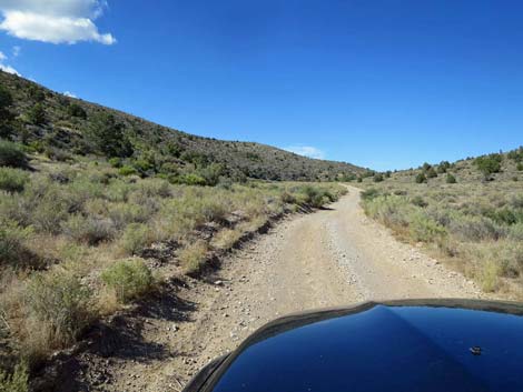 Mormon Well Road (view NE) |
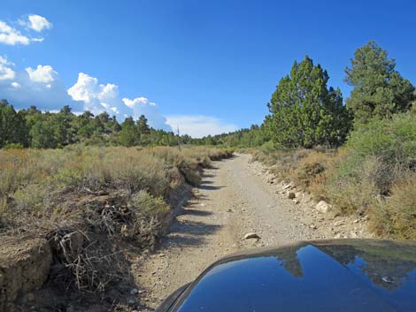
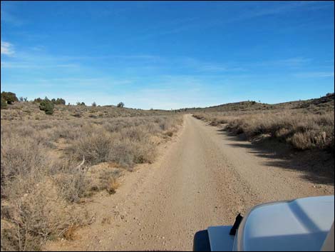 Sagebrush flats near Mormon Pass (view N during winter) |
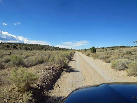 Mormon Well Road (view NE) |
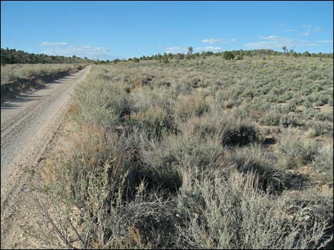 Sagebrush flats near Mormon Pass (view N during spring) |
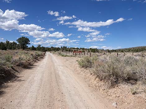 Mormon Well Rd approaching Searles Reservoir Service Road (view N) |
 Mormon Well Rd at Searles Reservoir Service Road (view N) |
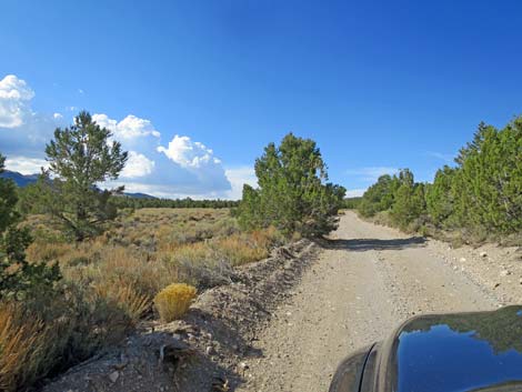
 Mormon Well Road (view NW) |
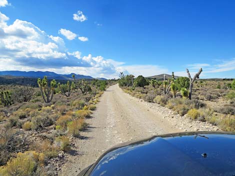
 Gaining elevation -- Blackbrush and Eastern Joshua Trees (view N) |
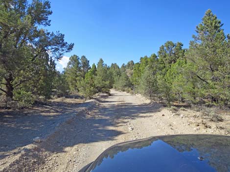
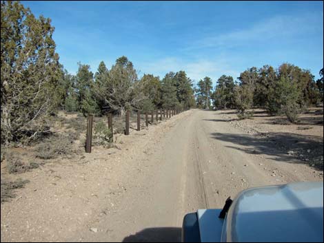
 Mormon Well Road at campsite (view N) |
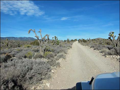
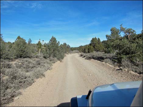 Gaining elevation -- Blackbrush and Utah Juniper trees (view N) |
 |
 |
 |
 |
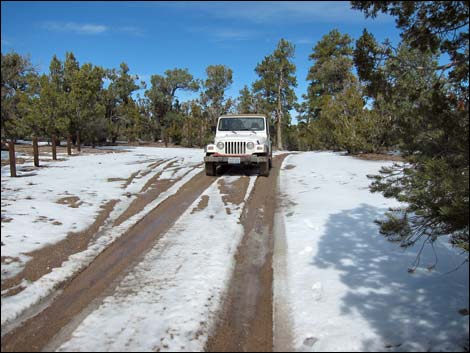
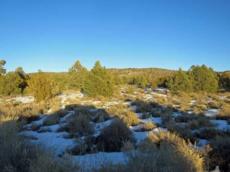 Snow between the pinyon and junipers (view E) |
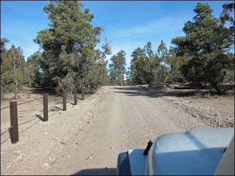
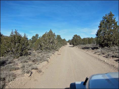 Mormon Well Road (view N) |
 Mormon Well Road (view N) |
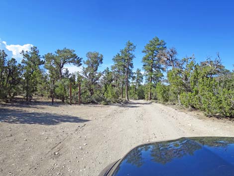
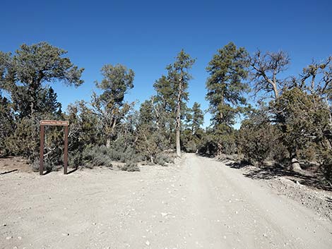
 Approaching Desert Pass (view N) |
 Desert Pass, south side (view N) |
 Desert Pass, south side (view N during summer) |
 Desert Pass, south side (view N during winter) |
 Desert Pass, south side (view N) Desert Pass, south side (view N) |
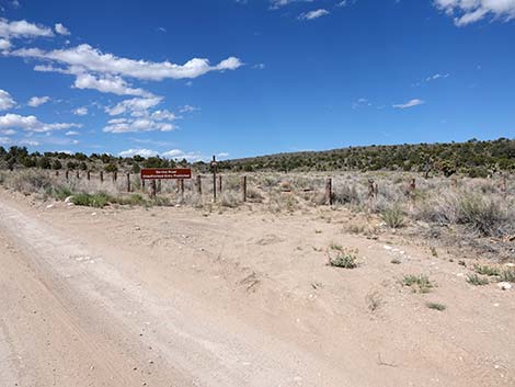
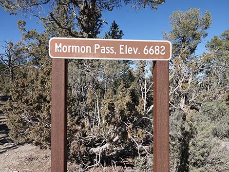 Mormon Pass (aka Desert Pass) sign (view N) |
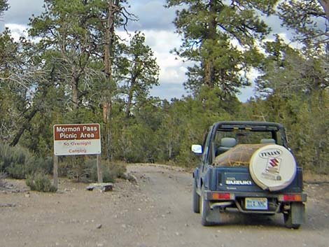 Historical "Mormon Pass Picnic Area" sign (view N) |
Happy Hiking! All distances, elevations, and other facts are approximate.
![]() ; Last updated 240324
; Last updated 240324
| Mormon Well Road | Backroads | Hiking Around Las Vegas | Glossary | Copyright, Conditions, Disclaimer | Home |