Hiking Around Las Vegas, Desert National Wildlife Refuge
 Trailhead parking (view S from Gass Peak Road) |
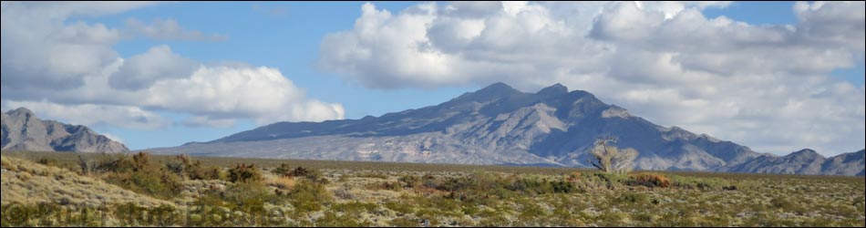
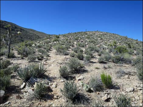
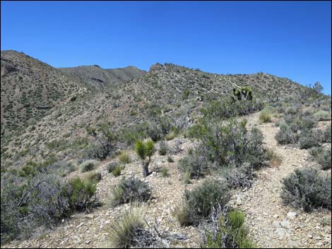
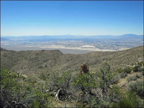
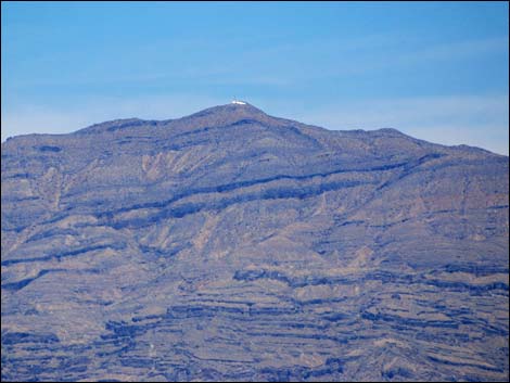
Overview Gass Peak is the highest point in the Las Vegas Range, the long ridge that forms the north edge of the Las Vegas Valley. During summer, Las Vegas residents sometimes see a bright reflection from the summit; this hike goes to that point. This hike is 6.5 miles round-trip and fairly stout, but it is suitable for sturdy children. The route follows a series of side-ridges on the north side of the mountain to the summit ridge, and then follows the summit ridge to the peak. Views from the summit provide a striking contrast: to the north lies a vast and glorious wilderness, and to the south lies a vast urban area. In the far distance, hikers can see mountains in Utah, Arizona, and California. Link to map. May 2018: trail is reported to be in good condition. For general information on camping, regulations, other issues, and the natural history of the Wildlife Refuge, see the Desert National Wildlife Refuge -- Area Overview page. |
 Trailhead (view SW) |
Watch Out Other than the standard warnings about hiking in the desert, ...this is a relatively safe hike. Depending on road conditions, the trailhead might be accessible with a 2WD-HC vehicle, but inquire locally or use a 4WD vehicle just to be sure. There are some rocks to scramble over on the summit ridge, but if hikers can get that far, they won't have any trouble. While hiking, please respect the land and the other people out there, and try to Leave No Trace of your passage. Also, this hike is remote, so be sure to bring the 10 Essentials. This hike is on a wildlife refuge, so pay particular attention to respecting the land. Please, don't bother the bighorn sheep. They have a hard enough time making a living in these desert lands; they don't need extra stress from people hanging around Gass Spring. |
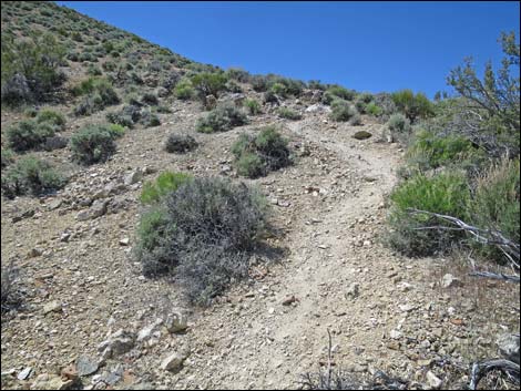
 Trailhead signs (view SW) |
Getting to the Trailhead
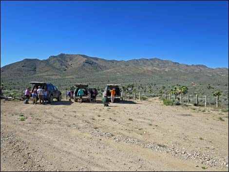
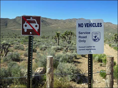
This hike is located on the Desert National Wildlife Refuge, about 1.5 hours north of town when the dirt roads are in good condition. From town, drive out to Corn Creek Field Station and continue east 50 yards to a T-intersection. Turn right onto Mormon Well Road, driving south and then east, the road heads up the bajada towards the mountains. At about 4.35 miles out from Corn Creek, shortly before Mormon Well Road gets to the mountains, Gass Peak Road turns right at a signed T-intersection. Gass Peak Road heads south and then east for 8.1 miles to Gass Spring Road. On the right (south) side of the road, watch for a parking corral, a gate, and "Service Road Only" signs. Park in the parking corral; this is the trailhead. |
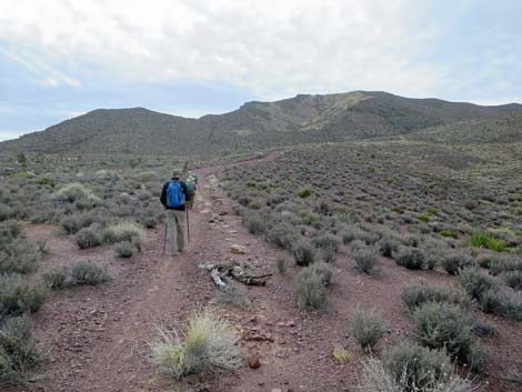
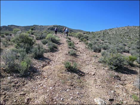
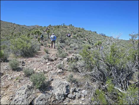
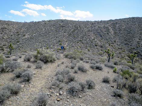
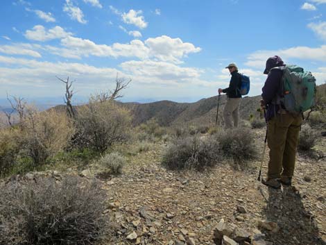
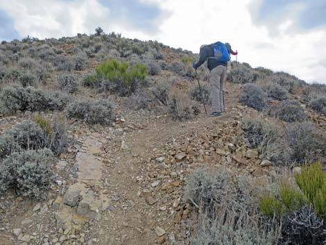
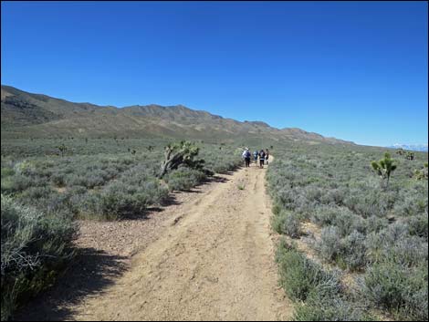 Hikers departing the trailhead (view SW) |
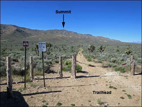
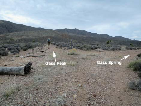
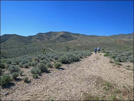
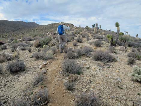
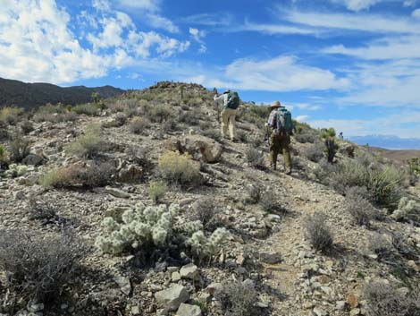
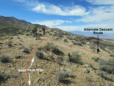
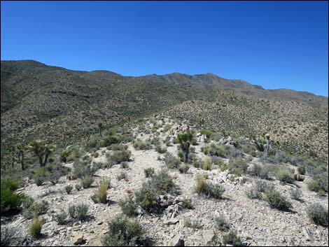
The Hike From the trailhead (Table 1, Waypoint 01), the route runs southwest on the service road (Gass Spring Road) heading towards mountains in the distance. While on these desert flats covered with dense blackbrush and scattered Joshua trees, hikers can look more-or-less straight ahead and see communication towers on the ridgeline. That is the summit; that is the goal. At about 0.4 miles out, the road forks (Wpt. 02). The right-fork road leads to Gass Spring and makes an alternative for the descent. The better route to the summit continues on the left-fork road. The left-fork road misses the spring, but it can be seen down on the right (dry in May 2017). Also, while hiking out the left-fork road, notice that the right-fork road heads farther west and eventually climbs the steep side of a ridge. Hikers should keep an eye on the right-fork road as they might want to descend that way. |
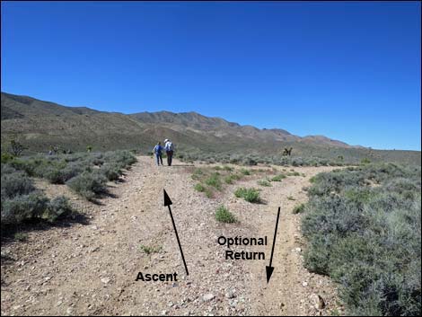 Fork in the road, ascent route stays left (view SW) |
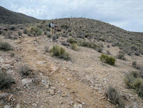
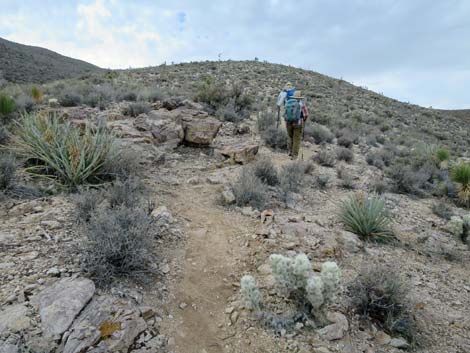
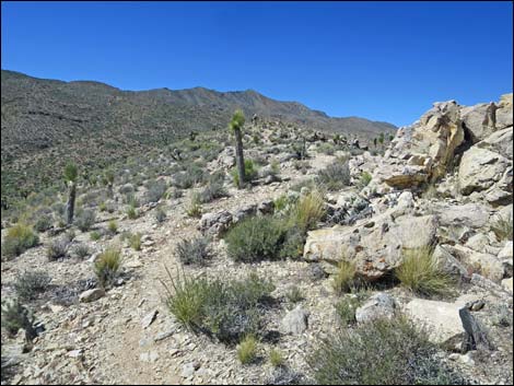
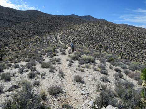
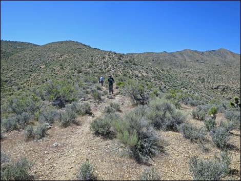
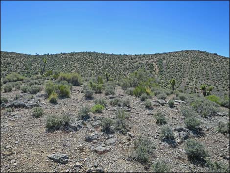
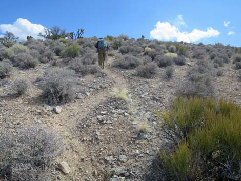
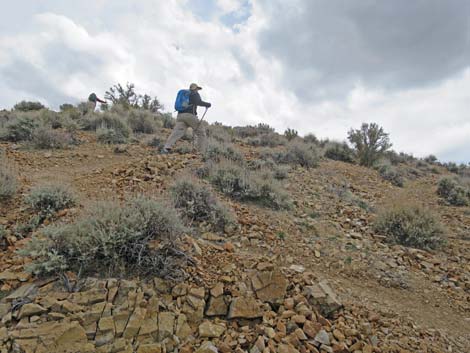
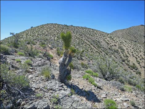
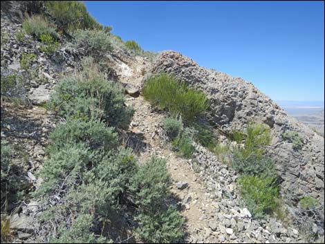
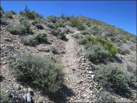
The left-fork road continues south-southeast towards the mountains, eventually reaching the toe of a ridge (Wpt. 03) that runs up and right, parallel to the main Gass Peak ridge. The road starts up the ridge, but then ends, for no apparent reason, after a short distance. From there, the route is obvious: it just runs up the crest of the ridge. Early on, the faint use-trail is hard to follow, but before long it becomes well defined. Even so, it is important to pay attention to remember the way down. In this area, and all the way up the ridge to the summit, notice the silvery cholla cactus with short, densely packed stems. In the spring, they have green flowers, and looking closely, notice that the fruits have no long spines (but they do have nasty tiny glochids -- don't touch!). This is our very own rare plant endemic to southern Nevada: Blue Diamond Cholla. There are plenty on this ridge, and plenty on the south end of Blue Diamond Hill in Red Rocks, but they occur only in a few places. |
 Volunteers have narrowed the road into a trail (view SE) |
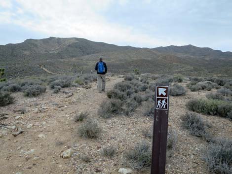
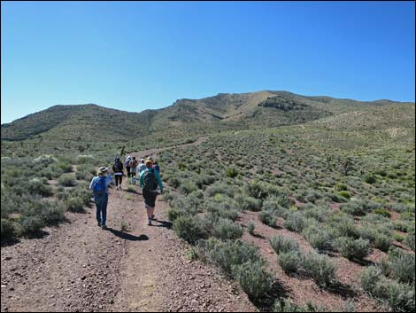
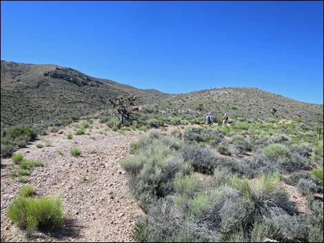
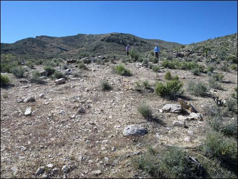
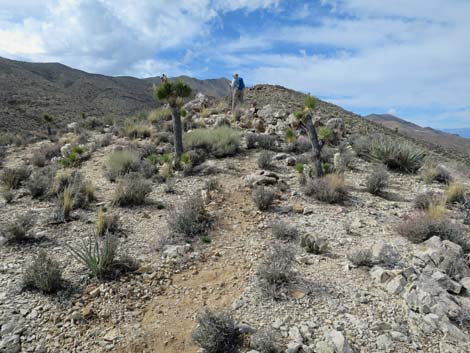
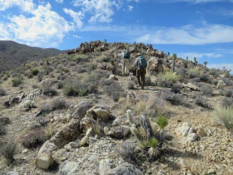
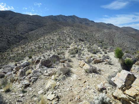
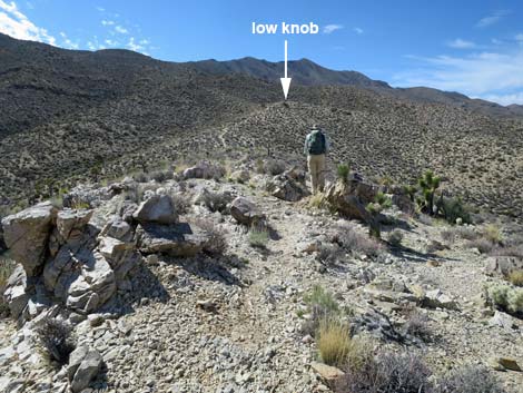
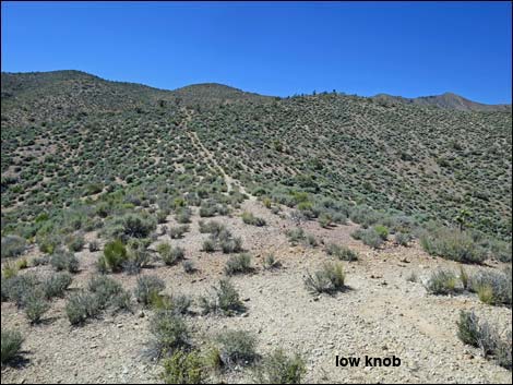
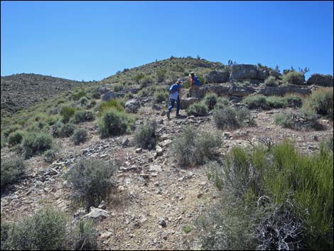
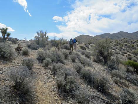
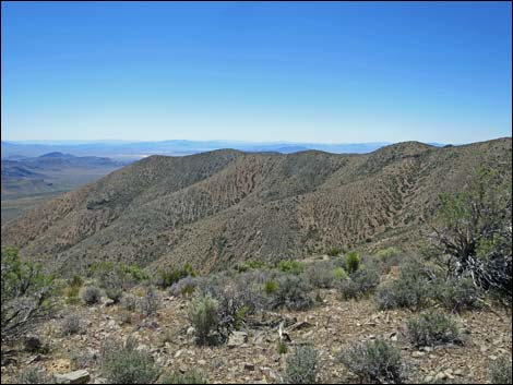
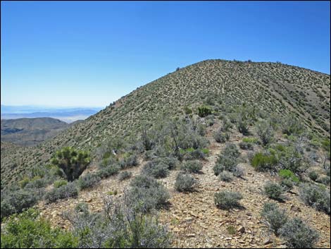
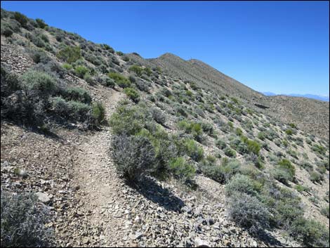
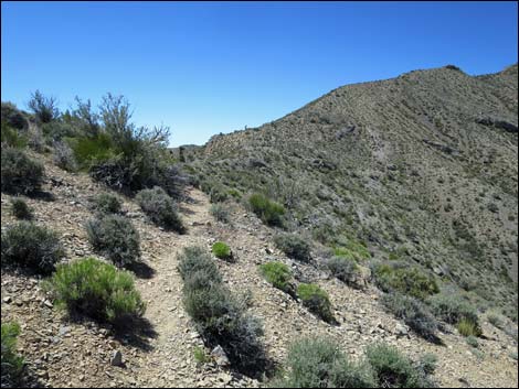
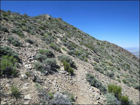
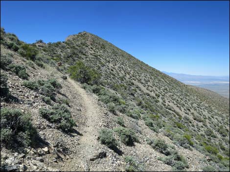
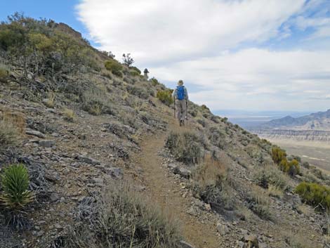
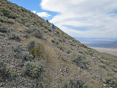
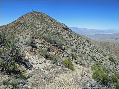
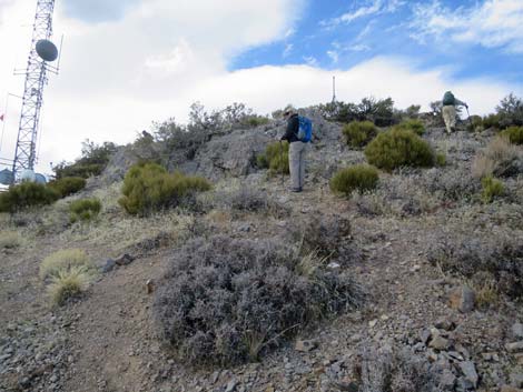
The use-trail runs up the crest of the ridge, which is a series of steeper parts followed by gentle parts or even slightly downhill parts. At about 1.2 miles out, the route passes the top of the right-fork road (Wpt. 04). Heading up, it is easy to miss this intersection, but on the way down the road below is more visible and the intersection is easier to see. Continuing up the ridge, hikers eventually arrive on a slight knob or flat area where this parallel ridge ends. Turning left, the route continues more steeply south towards the main ridge. Approaching the crest of the main ridge, the use-trail angles right to cut across the sideslope and eventually it climbs onto the summit ridge (Wpt. 05). Hikers expecting nice views across the Las Vegas Valley will be disappointed because a side-ridge to the south blocks the view except for the extreme east edge of town. Hikers need to continue up for better views south, but there are nice views north. |
 Directional sign: left to Gass Peak (view SE) |
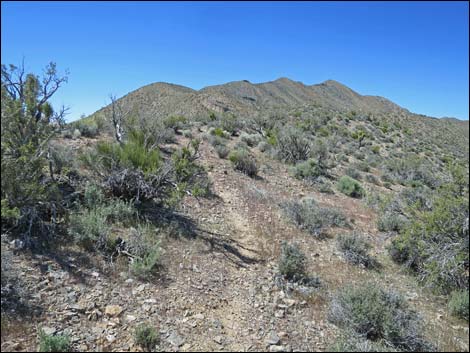
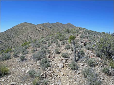
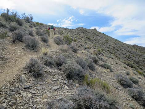
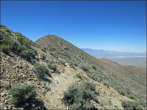
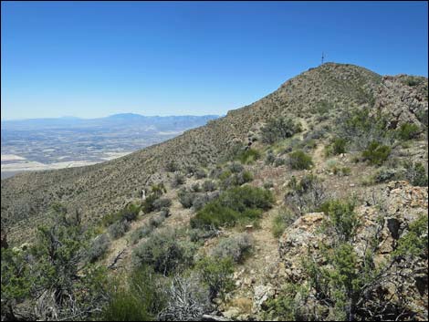
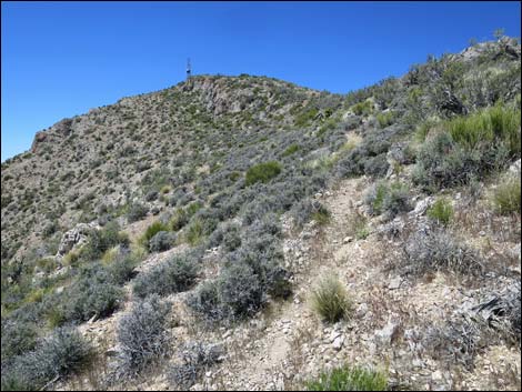
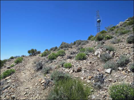
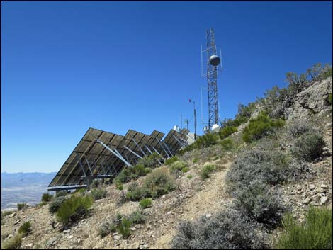
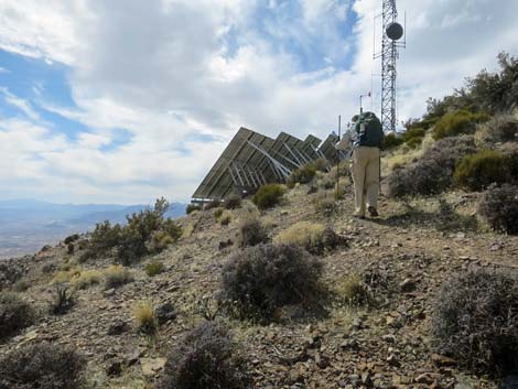
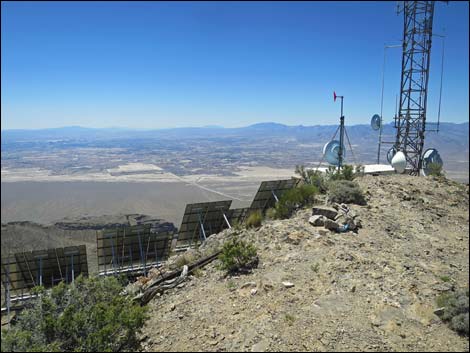
The route continues southwest following the main ridge and drops to cross a shallow saddle. In this area, hikers get nice views of the rest of the route. Beyond the saddle, the route climbs steeply to the next knob, then drops across a shallow saddle (Wpt. 06) and climbs steeply again across the steep north-facing slope. After climbing steeply, the route crests at a high spot on the summit ridge where hikers finally get broad views out over the Las Vegas Valley. The use-trail switches onto the south-facing slope and climbs somewhat steeply below a rocky outcrop. Oddly, in this area the use-trail becomes quite faint again, but it continues onto the shoulder of the peak at a point level with the large solar array that powers the communications equipment on the far side of the summit. Just before reaching the solar panels, the use-trail turns straight up the side of the ridge aiming towards an old metal tripod tower, the upper parts of which are visible from below. |
 Volunteers have narrowed the road into a trail (view SE) |
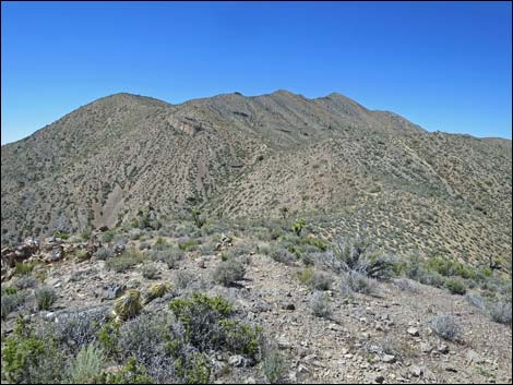
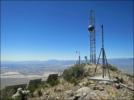
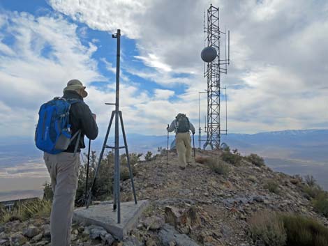
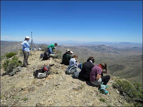
Climbing onto the summit ridge, hikers pass the metal tripod and walk a few yards farther west to the summit (Wpt. 07), which is marked by a cairn with a summit register. There is also a summit USGS benchmark and two auxiliary benchmarks. Views from the summit are spectacular. Hikers get grand sweeping views across the Las Vegas Valley, plus the views include mountains in Utah, Arizona, and California. For views from the summit, click here. To get down, follow your footprints down the summit ridge and down the side ridges. Lower down, consider cutting straight down the steep side of the ridge (Wpt. 04) on the right-fork road. The upper parts of this road are steep and slippery, and it might be harder than just walking off-trail down the regular ridge, but this old road runs past Gass Spring and makes for a bit of a loop. For views of the descent, click here. |
 Hikers just beyond the fork (view SE) |
 Approaching the side ridge (view SE) |
 On toe of side ridge, approaching end of road (view S) |
 Hikers at end of road (view SW) |
 Road unceremoniously ends; hikers continue (view SW) |
 Volunteers have constructed a trail (view SW) |
 Volunteers have constructed a trail (view SW) |
 Faint use-trail continues up ridgeline (view SW) |
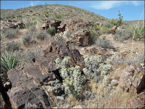 Blue Diamond Cholla at the toe of the ridge (view SW) |
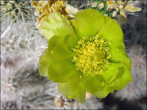 Blue Diamond Cholla flower |
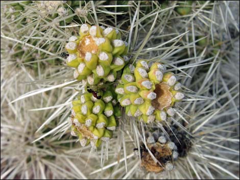 Blue Diamond Cholla with spineless fruits |
 Trail continues up ridgeline (view SW) |
 Hiker atop first small knob on ridgeline (view SW) |
 First small knob on ridgeline (view SW) |
 Gentle traverse (view SW from first small knob on ridgeline) |
 Hikers passing lots of Blue Diamond Cholla (view SW) |
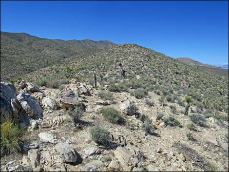
 Approaching first small knob on ridgeline (view SW) |
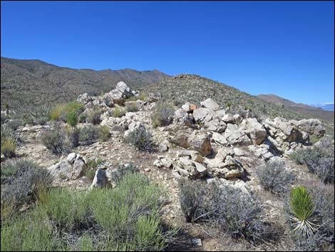
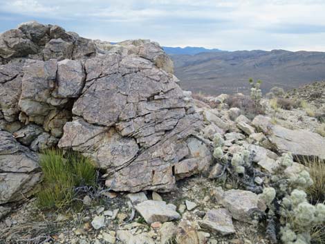 Seems to be a coarse-grained quartzite on the ridge |
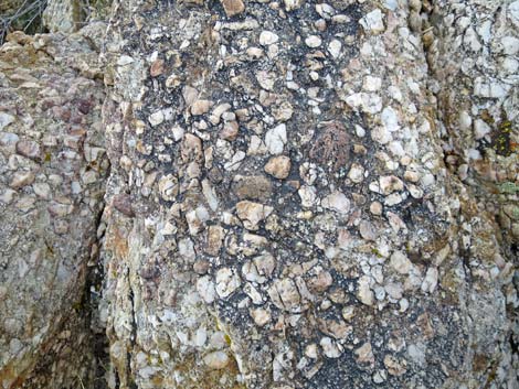 Seems to be a coarse-grained quartzite on the ridge |
 Approaching the alternate route down (view SW) |
 Continuing past the alternate route down (view SW) |
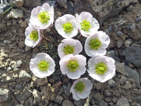 During spring, watch for lots of Anderson's Buttercup |
 Passing another small rocky outcrop on ridgeline (view SW) |
 Another gentle traverse on ridgeline (view SW) |
 Gentle traverse continues before climbing to low knob (view SW) Gentle traverse continues before climbing to low knob (view SW) |
 Hiker starting up towards the low knob (view SW) |
 Atop low knob, route turns to ascend towards summit ridge (view S) |
 Hikers ascending steep hillside (view S) |
 Hikers on gentle terrain (view S) |
 Hikers on steep hillside (view SE) |
 Arriving at next low knob (view SW) |
 A gentle bit, then another hill climb (view S) |
 Hiker on steep hillside (view S) |
 Hikers arriving on the summit ridge (view SW) |
 Arriving on summit ridge (view SW) |
 Hikers on the summit ridge (view SW) |
 Summit ridge (view SE, can see only extreme east Las Vegas) |
 Route continues on gentle ridgeline (view SW) |
 Route continues over high point on gentle ridgeline (view SW) |
 Route climbs gently along ridgeline (view SW) |
 Route climbs steeply along ridgeline (view S) |
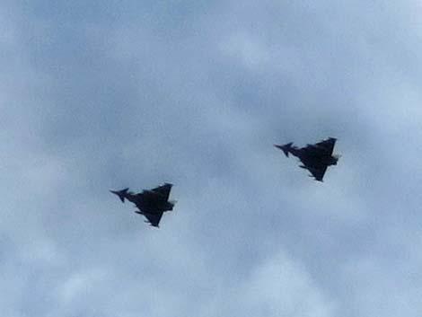 Two of six German Eurofighter Typhoons during a Red Flag exercise |
 Short switchbacks help on this steep hillside (view SW) |
 Short switchbacks help on this steep hillside (view SW) |
 Route continues on gentle ridgeline (view SW) |
 Route continues on gentle ridgeline (view SW) |
 Route climbs steeply across hillside (view SW) |
 Route climbs gently across hillside towards ridgeline (view SW) |
 Route continues on steep ridgeline (view SW) |
 Route climbs steeply across hillside (view SW) |
 Route climbs steeply across hillside (view SW) |
 A bit of a rocky step-up (view W) |
 Route climbs moderately across north-facing hillside (view W) |
 A bit of gentle trail traversing steep hillside (view SW) |
 Route climbs moderately across north-facing hillside (view W) |
 Hikers on moderate grade traversing steep hillside (view SW) |
 Towers on the summit come back into view (view W) |
 Back on ridgeline (view S into Las Vegas Valley) |
 Route continues along ridgeline (view W) |
 Route drops to bypass rocky crest (view W) |
 Route crosses onto south-facing slope (view W) |
 Steep route on slope below summit (view W) |
 Approaching summit structures; route turns up here (view W) |
 Approaching summit structures; route turns up here (view W) |
 Trail turns steeply up this side of the ridge (view NW) |
 Route climbing steeply (but easily) to crest (view N) |
 Arriving back on summit ridge (view SW) |
 Hikers arriving on the summit (view SW) |
 Gass Peak summit (view SW) |
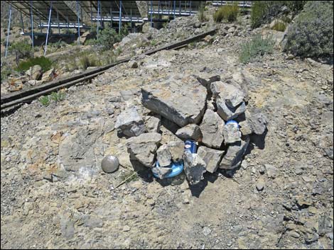 Gass Peak summit cairn with register (view SW) |
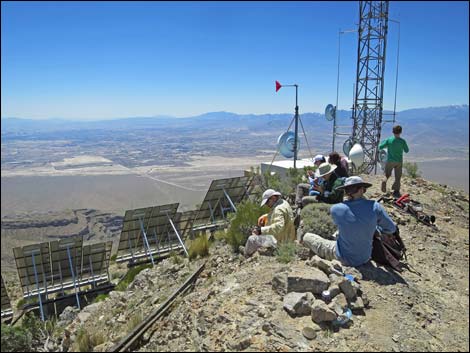 Hikers on summit (view SW) |
 Hikers on summit (view NE) Hikers on summit (view NE) |
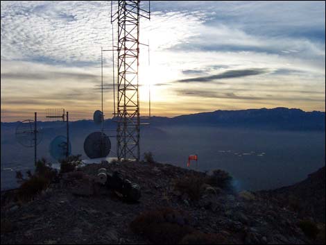 Sunset behind communication towers (view W over Las Vegas) |
 During mid-summer, we in Las Vegas can sometimes see a bright reflection from the big solar panels atop the peak |
Table 1. Hiking Coordinates Based on GPS Data (NAD27, UTM Zone 11S). Download Hiking GPS Waypoints (*.gpx) file.
| Wpt. | Location | UTM Easting | UTM Northing | Elevation (ft) | Point-to-Point Distance (mi) | Cumulative Distance (mi) |
|---|---|---|---|---|---|---|
| 01 | Trailhead | 665061 | 4033548 | 4,910 | 0.00 | 0.00 |
| 02 | Fork | 664764 | 4032948 | 4,965 | 0.43 | 0.43 |
| 03 | Base of Ridge | 664937 | 4032404 | 5,130 | 0.37 | 0.80 |
| 04 | Possible Descent | 664549 | 4031927 | 5,500 | 0.41 | 1.21 |
| 05 | Summit Ridge, Lower | 664464 | 4030853 | 6,060 | 0.80 | 2.01 |
| 06 | Summit Ridge, Higher | 664185 | 4030206 | 6,365 | 0.51 | 2.52 |
| 07 | Summit | 663251 | 4029729 | 6,943 | 0.74 | 3.26 |
| 04 | Possible Descent | 664549 | 4031927 | 5,500 | 2.04 | 5.30 |
| 08 | Gass Spring | 664586 | 4032517 | 5,030 | 0.44 | 5.74 |
| 02 | Fork | 664764 | 4032948 | 4,965 | 0.36 | 6.10 |
| 01 | Trailhead | 665061 | 4033548 | 4,910 | 0.43 | 6.53 |
Happy Hiking! All distances, elevations, and other facts are approximate.
![]() ; Last updated 240324
; Last updated 240324
| Hiking Around DNWR | Hiking Around Las Vegas | Glossary | Copyright, Conditions, Disclaimer | Home |