Backroads Around Las Vegas, Desert National Wildlife Refuge
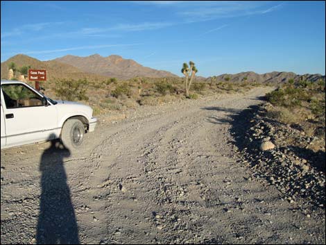
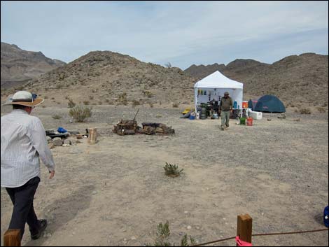
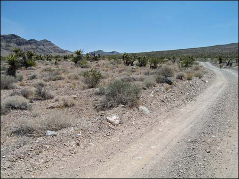
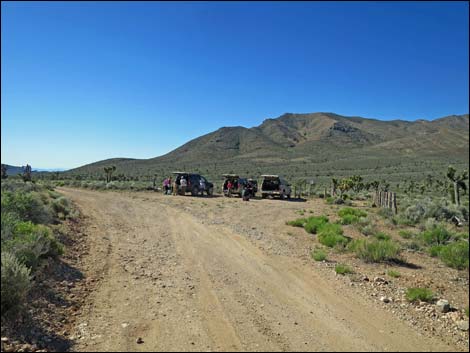
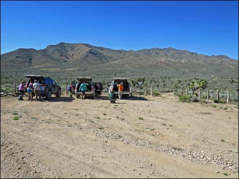
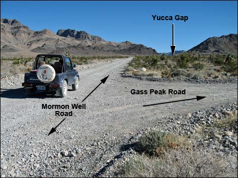 Mormon Well Rd at Gass Peak Rd |
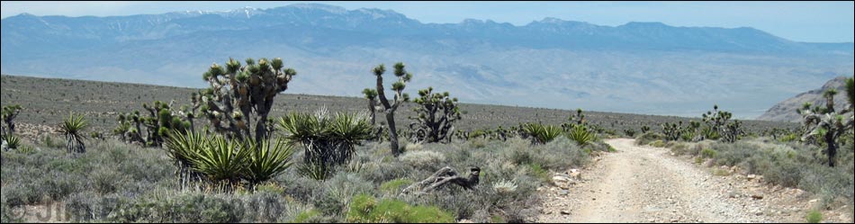
April 2023: Lloyd writes: The road is in "good" condition for a gravel road that is not maintained much and after a wet winter. There were no washout or dicey sections. It was fine for my Jeep Cherokee. Overview Gass Peak Road is a bumpy dirt road that runs south from the Mormon Well Road west of the Sheep Range, then turns and runs east up a broad valley between major ridges in the Las Vegas Range. The road usually is a high-clearance road, but when maintained, it can be driven in a sedan; call the refuge headquarters for current conditions. Gass Peak Road provides access to Gass Peak, Gass Spring, and Quartzite Mountain. This is a nice road for a drive in the desert or an easy get away from town to camp out in the desert, but it is wild and remote country. Link to map. For general information on camping, hiking, regulations, other issues, and the natural history of the Wildlife Refuge, see the Desert National Wildlife Refuge -- Area Overview page. |
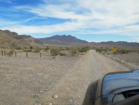
 Mormon Well Rd at Gass Peak Rd |
Watch Out Other than the standard warnings about hiking in the desert... the Gass Peak Road generally is a good dirt road, but it runs out into wild and remote country. There are no services or developments of any kind. Cell phones work along the west end of the road where you can see town, but don't count on calling for help farther out. Bring water and food, a good spare tire, a shovel, tools, a tow rope, bailing wire (I learned the hard way) and anything else that you might need to survive a night stuck out in the desert. While out there, please respect the land and the other people out there, and try to Leave No Trace of your passage. Also, this road leads to remote country, so be sure to bring the 10 Essentials. This is a wildlife refuge, so pay extra attention to respecting the land. |
 |
Location The Gass Peak Road is located on the Desert National Wildlife Refuge and starts about 45 minutes northwest of Las Vegas. To get there, drive out to the Corn Creek Field Station. Continue east for about 250 feet to a T-intersection with a large directional sign. Turn right onto Mormon Well Road, and follow it south then east for 4.3 miles to Gass Peak Road (Table 1, Site 0884), which turns off to the south (right). |
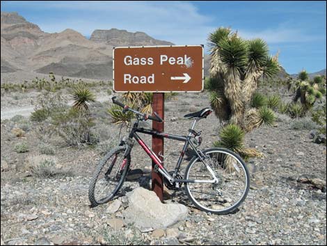
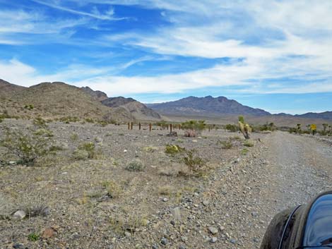
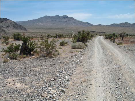
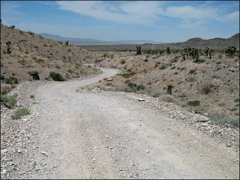
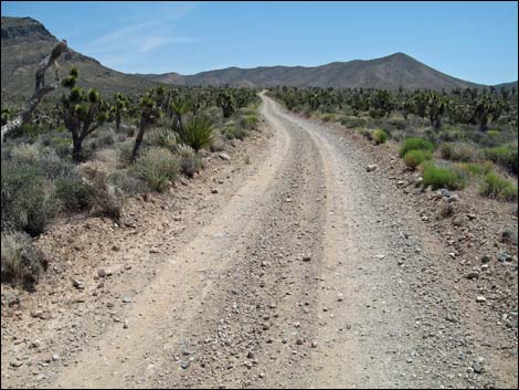
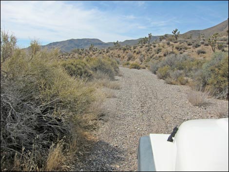
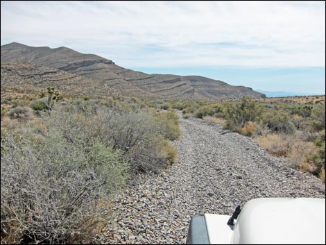
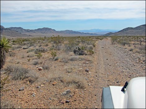
 Start of Gass Peak Rd (view SE) |
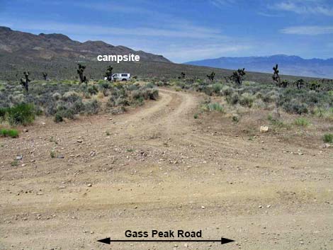
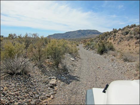
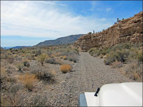
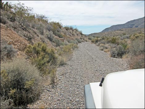
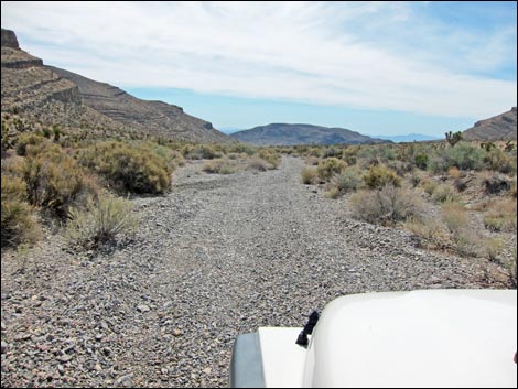
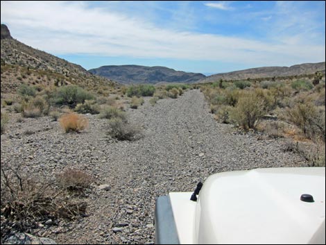
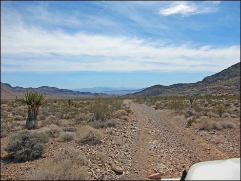
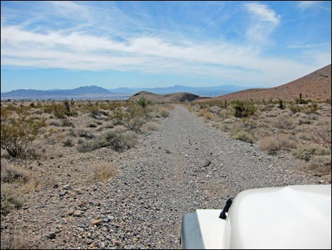
The Road Gass Peak Road (Site 0884) initially runs southeast along the west toe of Fossil Ridge, which is one of the major ridges in the Las Vegas Range. Within a minute or two (0.33 miles; Site 1009), the road passes a large, traditional campsite off to the left. This primitive campsite has been used for years, but other than the small, fenced-off parking area and large fire ring, it is relatively pristine. This is a good place for a quick get-away from town with a view of the city lights at night. Continuing, the road runs southeast for to the bottom of a broad valley and crosses the main wash (about 2.5 miles). The road winds around and turns to the northeast, running along the south side of the main wash for the duration. Most of the road along this section is reasonably good, but there are a few rough patches and a few patches of loose gravel. |
 Approaching campsite with view of Las Vegas (view SE) |
At about 7.95 miles out, Gass Peak Road passes a turnoff (Site 1010) to a traditional campsite about 200 feet south of the road. A spur road leads to the campsite (Site 1011), so it is located conveniently off the main road. This is a nice "wilderness" campsite with no sights or sounds of civilization, except for fighter jets flying out of Nellis Air Force Base. Another 0.15 miles farther down the main road, Gass Peak Road intersects with Gass Peak Spring Road (Site 0885). This road is ungated, but it is marked "Service Road Only." This road intersection is the trailhead for the Gass Spring and Gass Peak hikes. |
 Approaching campsite with view of Las Vegas (view SE) |
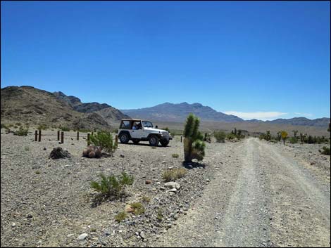
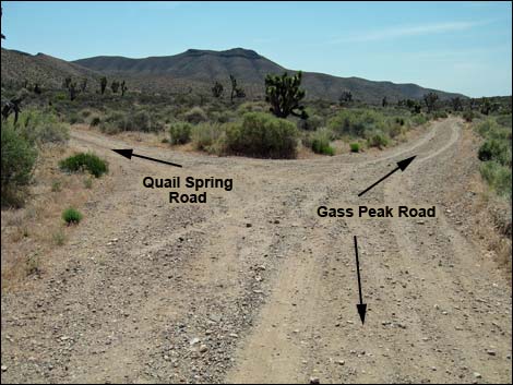
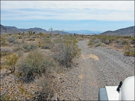
Continuing east for another 0.45 miles (about 8.6 miles from Mormon Well Road), the road forks (Site 0944). The fork to the left is Quail Spring Road, which runs about 1.4 miles to a parking area and the trailhead to Quail Spring Guzzler and Quartzite Peak. This road can be a bit rough, and it might be worth stopping about 1 minute or so short of the end in a wide spot at the top of a steep hill. The other fork continues east, then bends to the south. After only a short way, however, the road begins to deteriorates considerably, but it is a fine jeep road. The road leads south all the way to the edge of the wildlife refuge (Site 1516), but a fence blocks travel down into North Las Vegas. ATVs are illegal in the wildlife refuge, and I've seen rangers staked out on this road waiting to ticket illegal ATV riders. |
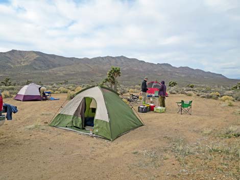
 Campsite with view of Las Vegas (view NE) |
 Campsite with view of Las Vegas (view NE) |
 Passing campsite with view of Las Vegas (view SE) |
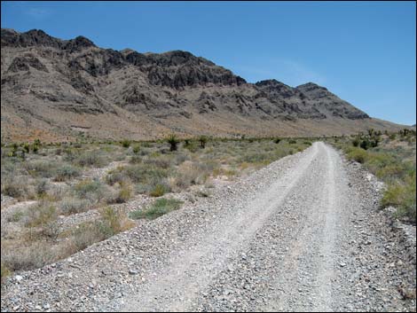
 Gass Peak Rd (view SE) |
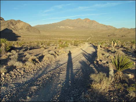 Gass Peak Rd running southeast towards Gass Peak (view SE) |
 Looking up the road, a little to the left at Fossil Ridge |
 Looking up the road, a little to the right at Gass Peak |
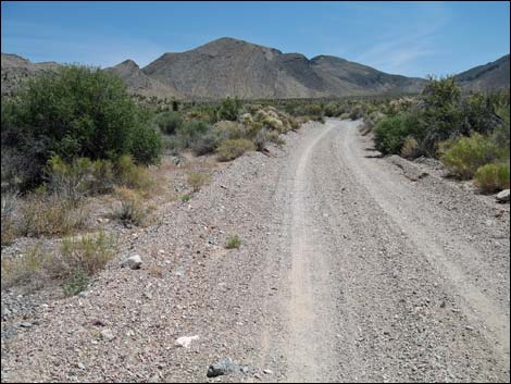
 Gass Peak Road along Fossil Ridge |
 There is a bit of loose gravel in some places |
 Getting pretty far up the road |
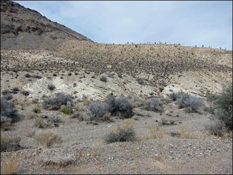 Interesting white-shale formation |
 Gass Peak Road at turnoff to traditional campsite (view SW) |
 Traditional campsite on right side of the road (view SW) |
 Traditional campsite on right side of the road (view SW) |
 Sunset over the Spring Mountains (view W from traditional campsite) |
 Approaching Gass Peak Trailhead (view SE) |
 Approaching Gass Peak Trailhead (view SE) |
 Gass Peak Road at Quail Spring Road |
 Beyond Quail Spring Road, the road deteriorates (view S) |
 Little-used road runs in a wash (view S) |
 |
 |
 |
 |
 |
 |
 |
 |
 |
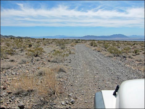 |
Table 1. Highway Coordinates based on GPS data (NAD27; UTM Zone 11S). Download Highway GPS Waypoints (*.gpx) file.
| Site | Location | UTM Easting | UTM Northing | Latitude (N) | Longitude (W) | Elevation (ft) | Verified |
|---|---|---|---|---|---|---|---|
| 0884 | DNWR, Mormon Well Rd at Gass Peak Rd | 653761 | 4033896 | 36.43980 | 115.28450 | 3,652 | Yes |
| 0885 | DNWR, Gass Peak Rd at Gass Spr Rd | 665068 | 4033559 | 36.43488 | 115.15848 | 4,887 | Yes |
| 0944 | DNWR, Gass Peak Rd at Quail Spr Rd | 665609 | 4033133 | 36.43095 | 115.15254 | 4,844 | Yes |
| 1009 | DNWR, Gass Pk Rd Camp 1 | 654113 | 4033507 | 36.43623 | 115.28066 | 3,701 | Yes |
| 1010 | DNWR, Gass Pk Rd Camp 2 turnoff | 664906 | 4033771 | 36.43682 | 115.16024 | 4,954 | Yes |
| 1011 | DNWR, Gass Pk Rd Camp 2 | 664862 | 4033731 | 36.43646 | 115.16075 | 4,943 | Yes |
| 1516 | Gass Peak Road End | 672337 | 4022717 | 36.33592 | 115.07983 | 2,772 | GPS |
Happy Hiking! All distances, elevations, and other facts are approximate.
![]() ; Last updated 240324
; Last updated 240324
| Hiking Around DNWR | Hiking Around Las Vegas | Glossary | Copyright, Conditions, Disclaimer | Home |