Hiking Around Las Vegas, Hiking Around Death Valley National Park
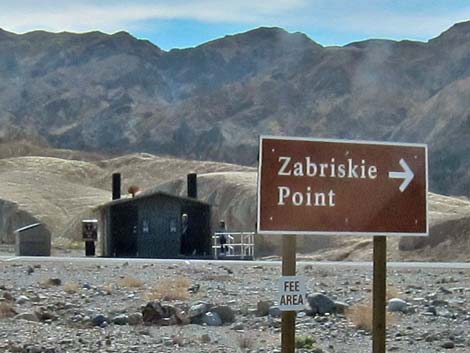 |
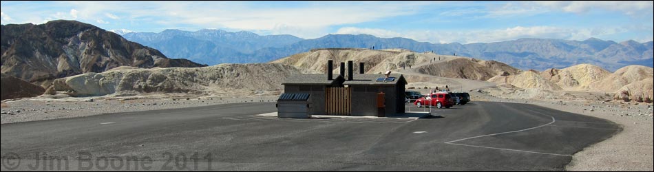
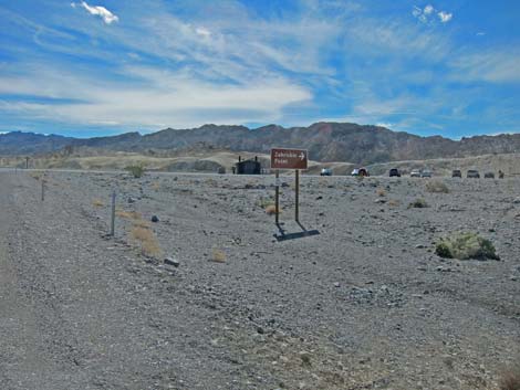
Zabriskie Point Trailhead is located along Highway 160 in Death Valley National Park, about 2-1/2 hours northwest of Las Vegas. From town, drive out to Death Valley. From the Furnace Creek Visitor Center (Table 1, Site 0712), drive south and east on Highway 190 for 4.8 miles to Zabriskie Point Road (Site 0606). Turn right and drive southwest into the Zabriskie Point parking area (Site 0747). Park here; this is the trailhead. Link to Trailhead Map. |
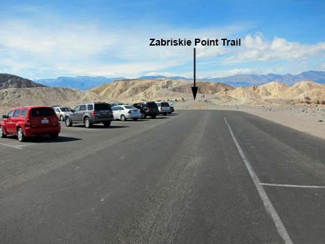 |
The Zabriskie Point Trailhead provides access to hikes in the hills and canyons between Zabriskie Point, Golden Canyon, and Gower Gulch, including access to Cathedral Cliffs, Manly Beacon, and several miles of relatively easy hiking. Trails: Zabriskie Point, Golden Canyon, Gower Gulch, Gower Gulch Loop, and Zabriskie Point to Golden Canyon. |
 Eastbound Highway 190 |
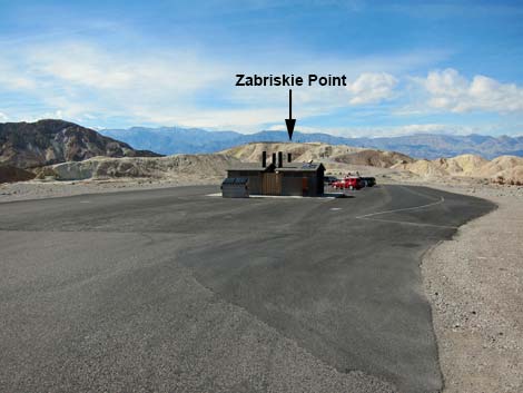 Trailhead parking and restrooms |
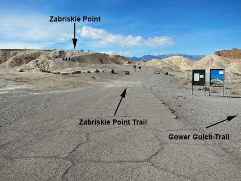 Trailheads |
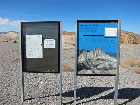 Information signs |
Table 1. Highway Coordinates (NAD27; UTM Zone 11S). Download Highway GPS Waypoints (*.gpx) file.
| Site # | Location | Latitude (N) | Longitude (W) | Easting | Northing | Elevation (ft) | Verified |
|---|---|---|---|---|---|---|---|
| 0606 | Hwy 190 at Zabriskie Rd | 36.42109 | 116.80807 | 517206 | 4030470 | 660 | GPS |
| 0712 | Furnace Creek Visitor Center | 36.46159 | 116.86574 | 512030 | 4034954 | -186 | Yes |
| 0747 | Zabriskie Point Parking | 36.42092 | 116.80912 | 517112 | 4030451 | 656 | Yes-2 |
Happy Hiking! All distances, elevations, and other facts are approximate.
![]() ; Last updated 240324
; Last updated 240324
| Hiking Around Death Valley | Hiking Around Las Vegas | Glossary | Copyright, Conditions, Disclaimer | Home |