Hiking Around Las Vegas, Death Valley National Park
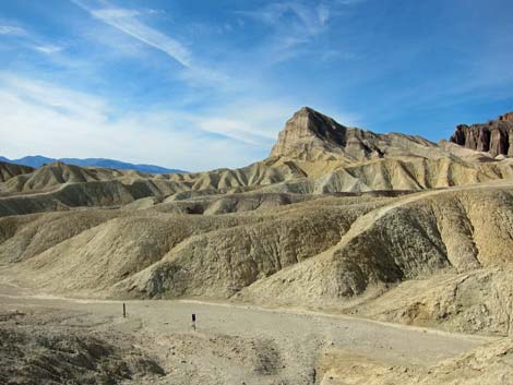
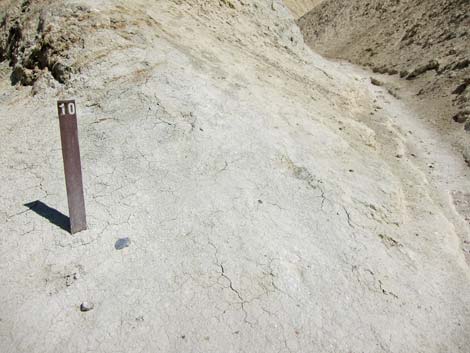
 Gower Gulch Trailhead (view N from parking lot) |
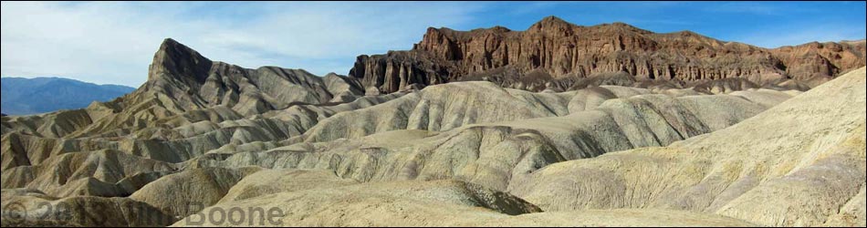
Overview This picturesque and geologically interesting, but moderately strenuous, 2.9-mile hike starts at Zabriskie Point and runs down narrow canyons to the edge of Gower Gulch. The trail then cuts up over mudhill badlands, passes Manly Beacon, and drops into Golden Canyon. From there, the trail meanders down Golden Canyon to the trailhead. This one-way hike requires a vehicle shuttle or other arrangement. Consider hiking back using the Gower Gulch Trail. Link to map. |
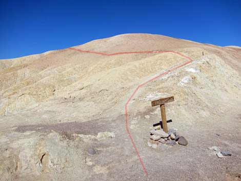
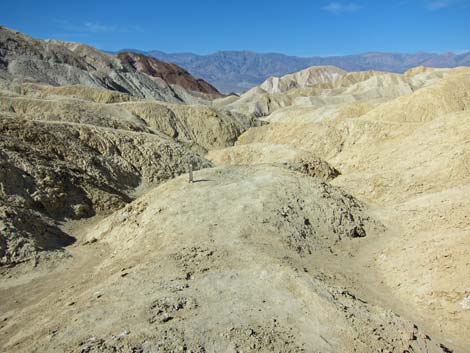
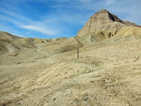
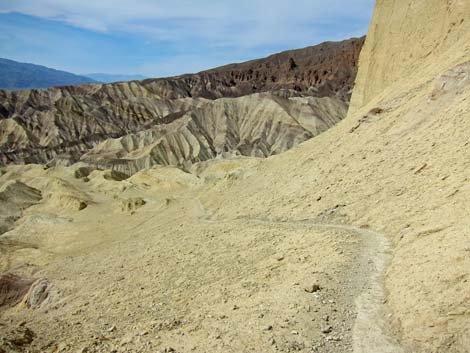
 Trail leading to low point on ridge (view NW) |
Watch Out Other than the standard warnings about hiking in the desert, ...this hike is pretty safe, but stay out of the canyons (and off the mudhills) if rain threatens because of flash flood dangers. While hiking, please respect the land and the other people out there, and please try to Leave No Trace of your passage. Also, this hike is fairly long, so be sure to bring the 10 Essentials. |
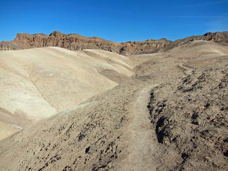
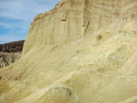
 Old road (view W) |
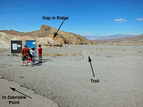
Getting to the Trailhead This hike is located along Highway 160 in Death Valley National Park, about 2-1/2 hours northwest of Las Vegas. From town, drive out to Death Valley, pay the entrance fee, and then drive to the Zabriskie Point Trailhead. Park here; this is the trailhead. |
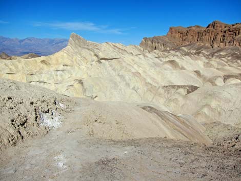
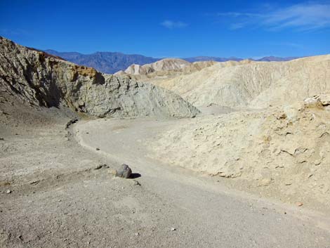
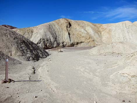
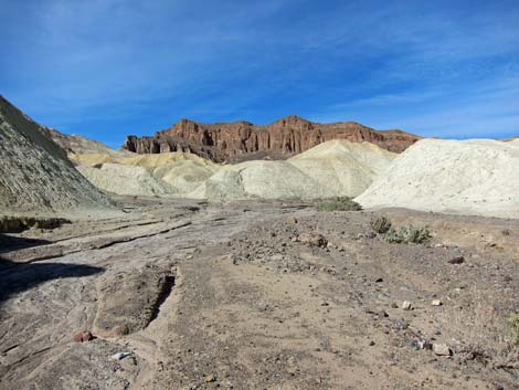
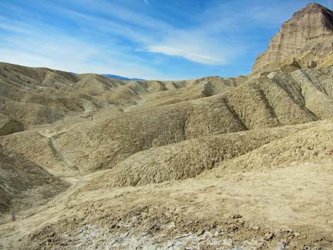
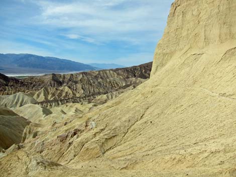
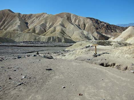 Arriving at edge of Gower Gulch, proper (view SW) |
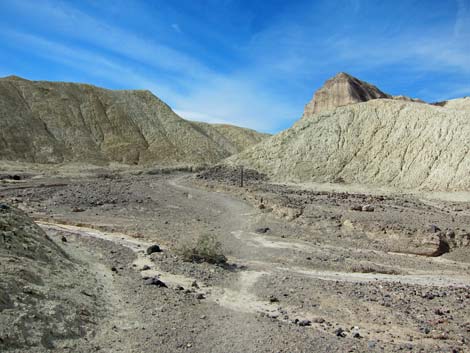
The Hike From the Zabriskie Point trailhead by the information sign (Table 1, Waypoint 10), the route runs northwest on a well-defined gravel trail for about 1 minute to a low point on the ridge north of the Zabriskie Point overlook. Note that this trail does not follow the paved path westward and up to the Zabriskie Point overlook; the hiking trail runs north from the parking area and across some gravel flats before turning to the west. The trail climbs the low ridge to a notch that separates the Furnace Creek drainage (to the northeast) from the Gower Gulch drainage (to the southwest). The trail then heads generally westward for 0.4 miles as it drops through narrow, winding canyons to the edge of Gower Gulch Wash (Wpt. 12). From there, Zabriskie Point Overlook can be seen atop yellow mudhills back up some 225 vertical-feet. |
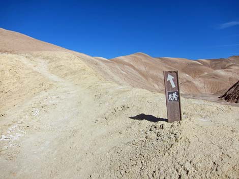
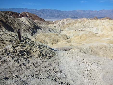
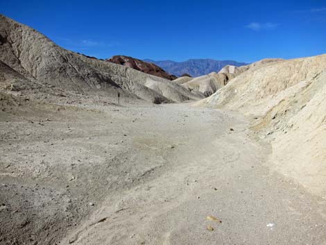
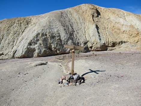
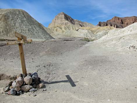
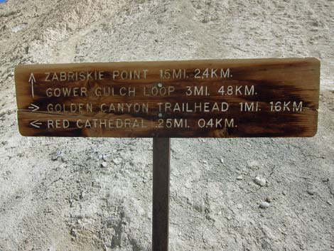
 Trail sign (view NW) |
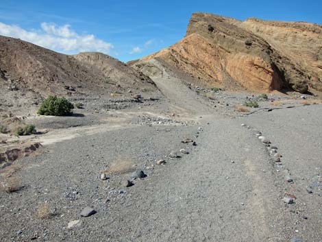
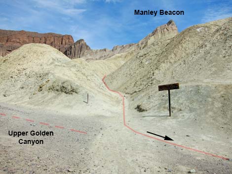
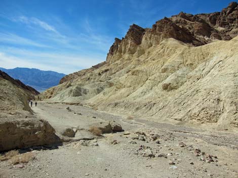
A sign at the edge of Gower Gulch wash says that the Gower Gulch route runs southwest (left) and down the gravel wash, while the trail to Golden Canyon runs northwest (right) and up a mud ridge. At the junction, the route leaves the gravel wash and heads up the mud ridge. The trail crosses the mudhills and drops into shallow badland canyons as it runs for 0.5 miles to another signed trail junction (Wpt. 05). From there, the route to the southwest (left) runs back down to Gower Gulch, while the trail to the northwest (right) runs up a canyon towards Manly Beacon (the white cliff with a sheer west wall) and over into Golden Canyon. |
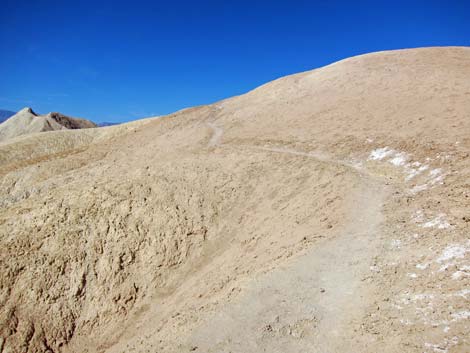
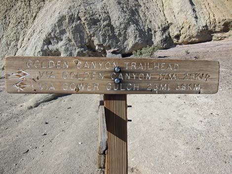
 Trail marker to Golden Canyon (view N) |
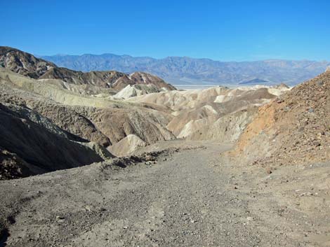
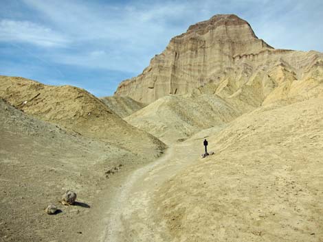
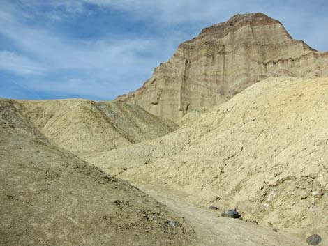
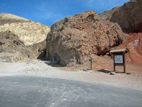
Heading northwest towards Manly Beacon, the trail starts at a gentle angle, but then climbs steeply to a saddle (Wpt. 04) on the southwest shoulder of Manly Beacon, which is 0.3 miles from the junction. From the shoulder, the trail runs for 0.4 miles as it cuts across yellow slopes beneath the west face of Manly Beacon and drops steeply into Golden Canyon. The trail intersects the Golden Canyon Trail at Trail Marker #10 (Wpt. 02). From the junction, the route follows the Golden Canyon Trail downhill and westward for 1.0 miles to the trailhead (Wpt. 01). For details on this part of the hike, see the Golden Canyon Trail description. |
 Trail to Golden Canyon (view N) |
 Trail to Golden Canyon (view N) |
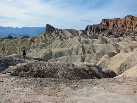
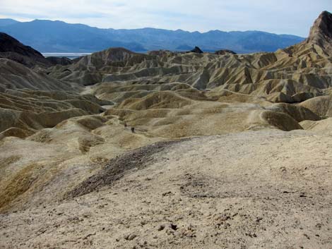
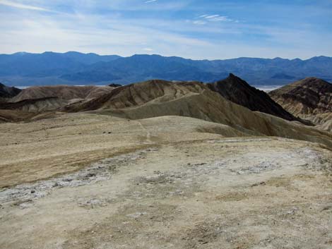
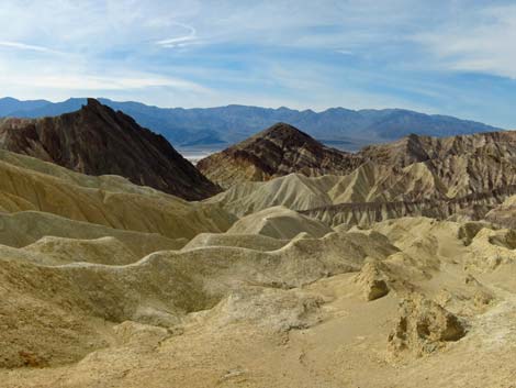
 Grand scenery (view W towards Death Valley) |
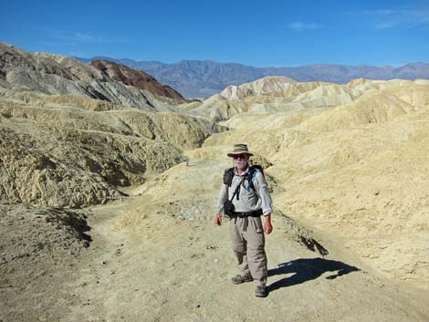
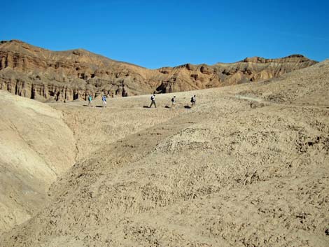 Hikers on trail (view N) |
 |
 |
 |
 |
 |
 |
 |
 |
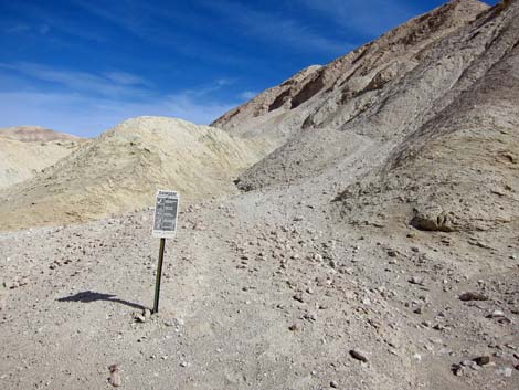 Mine warning sign (note: mine has been collapsed) |
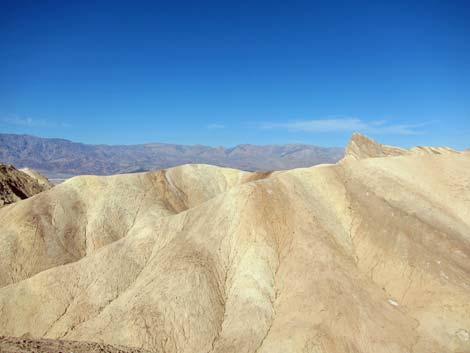
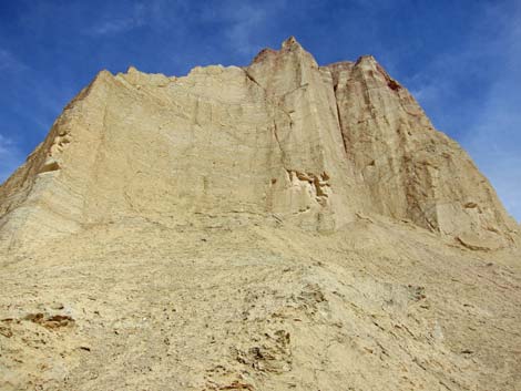
 Manley Beacon (view NW from closed mine site) |
 Approaching trail junction (view W) |
 Trail junction (view W) |
 Trail sign (view W) |
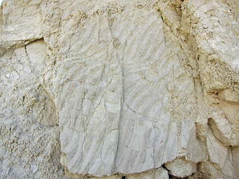 Ripple marks in rock wall behind sign (view W) |
 Trail turns right and runs north (view N) |
 Trail runs north (view N) |
 |
 |
 |
 |
 |
 |
 |
 |
 Passing beneath Manley Beacon (view up; east) |
 Grand scenery beneath Manley Beacon (view west) |
 Trail descends into Golden Canyon (view N) |
 Looking back at Golden Canyon Trail junction (view E) |
 Golden Canyon Trail sign (view E) |
 Golden Canyon Trail marker #10 (view E) |
 Hiking down Golden Canyon (view SW) |
 Looking back at Golden Canyon Trailhead (view NE) |
Table 1. Hiking Coordinates Based on GPS Data (NAD27, UTM Zone 11S).Download Hiking GPS Waypoints (*.gpx) file.
| Wpt. | Location | UTM Easting | UTM Northing | Elevation (ft) | Point-to-Point Distance (mi) | Cumulative Distance (mi) | Verified |
|---|---|---|---|---|---|---|---|
| 10 | Zabriskie Point Trailhead | 517080 | 4030461 | 656 | 0.00 | 0.00 | GPS |
| 12 | Gower Gulch Wash, Edge | 516600 | 4030309 | 502 | 0.53 | 0.53 | GPS |
| 05 | Signed Trail Junction | 516004 | 4030275 | 379 | 0.57 | 1.10 | GPS |
| 04 | SW Flank, Manly Beacon | 515644 | 4030645 | 500 | 0.37 | 1.47 | GPS |
| 02 | Trail Marker #10 | 515145 | 4030868 | 131 | 0.44 | 1.91 | GPS |
| 01 | Golden Canyon Trailhead | 513838 | 4030440 | -167 | 1.01 | 2.92 | GPS |
Happy Hiking! All distances, elevations, and other facts are approximate.
![]() ; Last updated 240324
; Last updated 240324
| Death Valley | Hiking Around Las Vegas | Glossary | Copyright, Conditions, Disclaimer | Home |