Hiking Around Las Vegas, Red Rock Canyon National Conservation Area
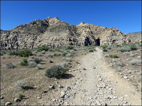
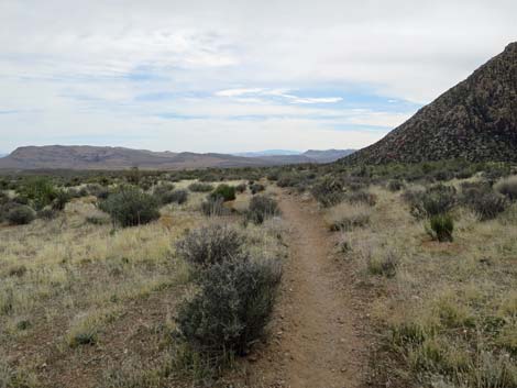
 Grand Circle Trail exits the West Trailhead (view NW) |
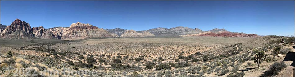
Overview The Grand Circle Trail is an 11.6-mile loop that starts at the Visitor Center and roughly parallels the Scenic Loop Road. From the Visitor Center, the trail runs up along the base of the Calico Hills to Sandstone Quarry, cuts out across the desert to White Rock Spring, the highpoint on the loop trail, then follows the White Rock Loop trail down towards Willow Springs, finally turning off and heading back down along Red Rock Wash to the Visitor Center. The trail passes red sandstone crags and rock art, all the while traversing open desert with grand vistas in all directions. Parts of the trail aren't laid out as well as one might wish, but the trail makes for a good winter workout in the desert. Presented here are details of the Grand Circle Loop Trail from the Upper White Rock Trailhead to yet another Scenic Loop Road crossing. For an overview of the entire trail, see Grand Circle Overview. Link to map. Link to BLM Georeference PDF map file. |
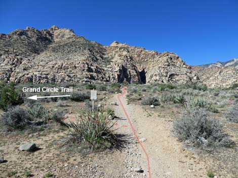
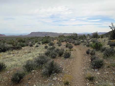
 Hikers continuing on Grand Circle Trail (view NW) |
Watch Out Other than the standard warnings about hiking in the desert, ...this hike is fairly safe, even for kids, but there are some short, steep scrambles through rocky areas near the Calico II parking area. Always be extra careful when you get high enough to fall and hurt yourself. Most of this trail is relatively well groomed, relatively free of rocks, and makes for easy walking. Be careful crossing the paved roads. While hiking, please respect the land and the other people out there, and try to Leave No Trace of your passage. Also, even though this is a short hike, be sure to bring what you need of the 10 Essentials. |
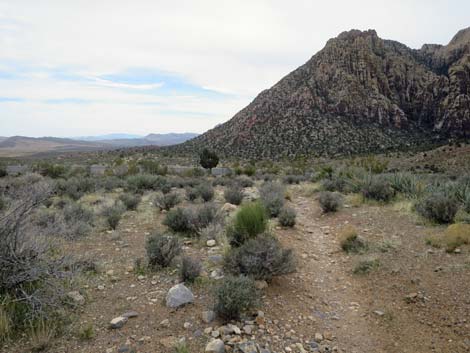
 Grand Circle Trail approaching White Rock Spring (view NW) |
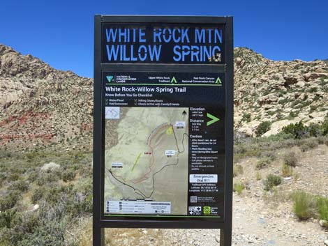
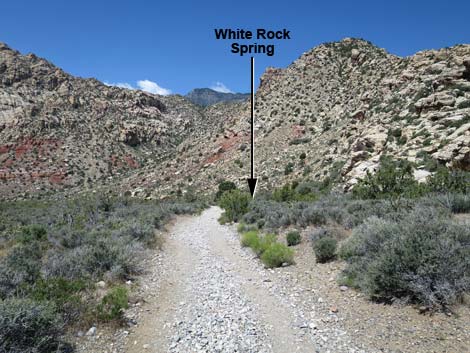
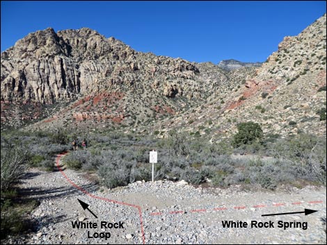
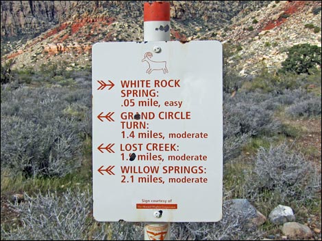
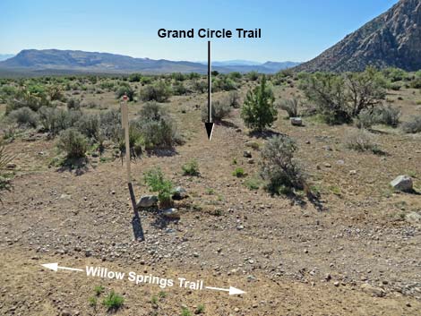
The Hike White Rock to Road Crossing -- 2.1 miles From the White Rock Mountain Trailhead sign (Wpt. 17) on the west side of the parking area, the Grand Circle Trail runs west and down the hillside on an old road. At about 5 minutes out, the trail forks (Wpt. 18) at a signed intersection. Here, the White Rock Spring Trail runs right a short distance to the spring, while the Grand Circle Trail runs left continuing on the White Rock Loop Trail. Visit the spring if desired, then either backtrack to this point (Wpt. 18) and continue hiking southwest, or take the short detour trail to enjoy White Rock Spring and avoid backtracking. |
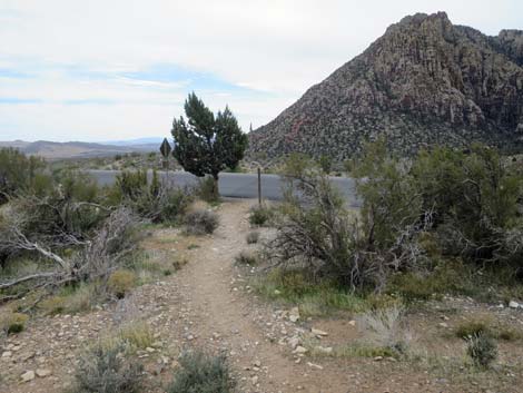
 Grand Circle stays left at this trail junction (view NW) |
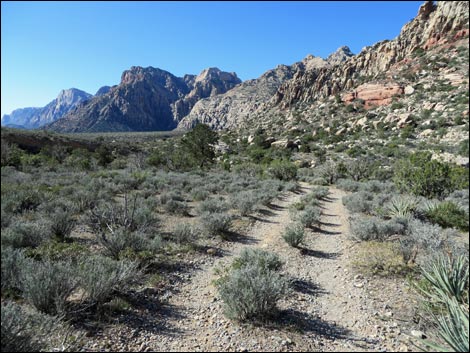
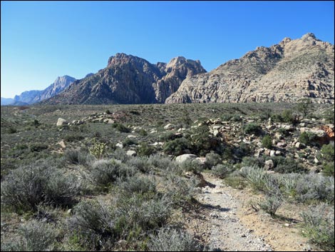
The trail descends the bajada on an old road through nice stands of buckhorn cholla and with grand views south to the Red Rock Cliffs. In this area, the trail enters the La Madre Mountain Wilderness Area for about 0.5 miles. The old road eventually ends, and from there the trail turns more to the south and runs along the top of a deep wash. The trail eventually drops into and crosses a wash (Wpt. 19). The trail then climbs onto a bench and runs up into a side canyon before switchbacking up onto the broad ridge at the southern-most edge of the White Rock Hills. Near the top of the ridge, the trail forks at a signed trail intersection (Wpt. 20). The Grand Circle Trail turns left (south and downhill), while the White Rock Mountain trail continues straight (west and uphill). From the trail junction, the Grand Circle Trail runs south and down the gentle hillside to cross the Scenic Loop Road for a last time (Wpt. 21). |
 Trail junction sign (view NW) |
 Beyond White Rock Spring, the trail follows an old road (view SW) |
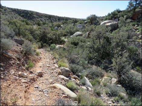
 Grand Circle Trail approaching a deep wash (view SW) |
 Crossing a wash (view S) |
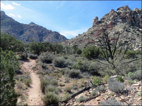
 Grand Circle Trail climbs into the next valley (view SW) |
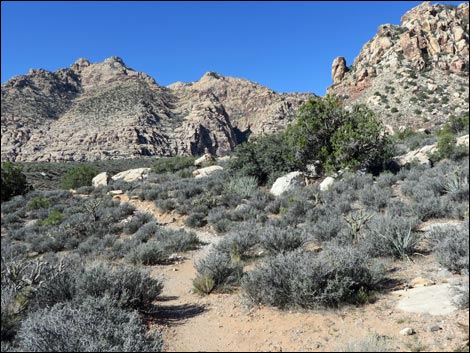
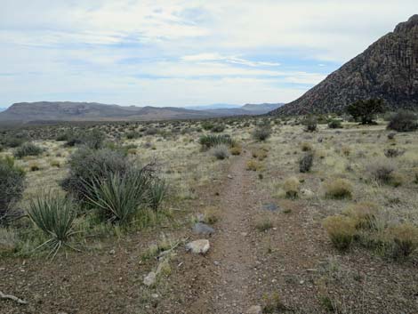
 Grand Circle Trail (view SW) |
 Grand Circle Trail climbs to a high point (view SE) |
 Grand Circle Trail circles back to the west (view W) |
 Grand Circle Trail at trail junction (view W) |
 Grand Circle Trail departing the White Rock Loop Trail (view SE) |
 Grand Circle Trail descends across gentle flats (view SE) |
 Grand Circle Trail descends across gentle flats (view SE) |
 Grand Circle Trail descends across gentle flats (view SE) |
 Grand Circle Trail descends across gentle flats (view SE) |
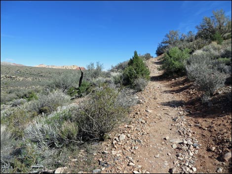
 Grand Circle Trail approaching the Scenic Loop Road (view SE) |
 Grand Circle Trail at the Scenic Loop Road (view SE) |
Table 1. Hiking Coordinates based on GPS Data (NAD27; UTM Zone 11S). Download Hiking GPS Waypoints (*.gpx) file.
| Wpt. | Location | UTM Easting | UTM Northing | Elevation (ft) | Point-to-Point Distance (mi) | Cumulative Distance (mi) |
|---|---|---|---|---|---|---|
| 17 | White Rock Upper Trailhead | 636979 | 4004051 | 4,876 | 0.56 | 05.96 |
| 18 | Trail Junction, White Rock Spring Spur | 636869 | 4004072 | 4,843 | 0.07 | 06.03 |
| 19 | Wash Crossing | 636351 | 4002762 | 4,457 | 1.11 | 07.14 |
| 20 | Trail Junction, Willow Springs | 636050 | 4002352 | 4,519 | 0.49 | 07.63 |
| 21 | Road Crossing #4 | 636278 | 4001868 | 4,450 | 0.35 | 07.98 |
Happy Hiking! All distances, elevations, and other facts are approximate.
![]() ; Last updated 240330
; Last updated 240330
| Hiking Around Red Rocks | Hiking Around Las Vegas | Glossary | Copyright, Conditions, Disclaimer | Home |