Hiking Around Las Vegas, Lake Mead NRA, Bridge Mountain Wilderness Area
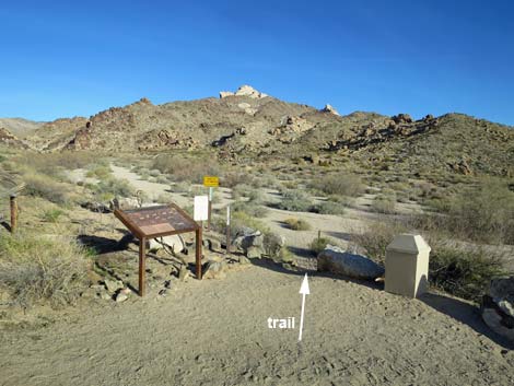
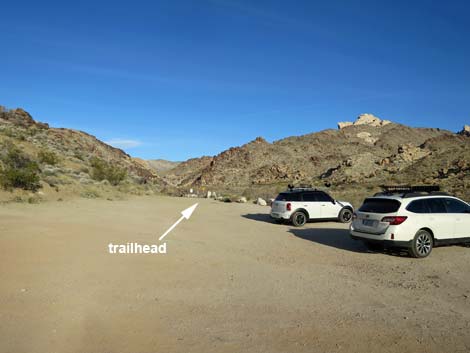 Trailhead parking and trailhead (view W) |
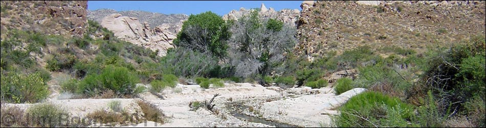
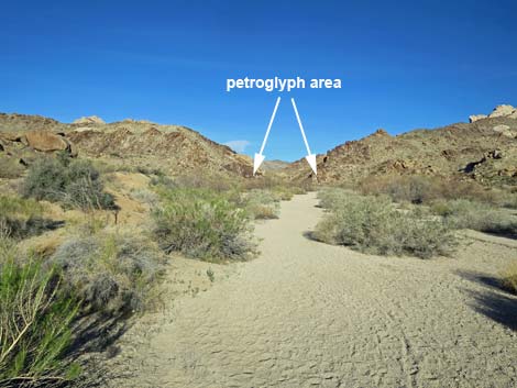
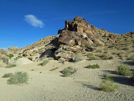
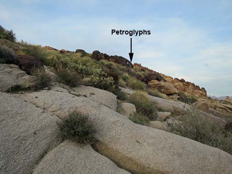
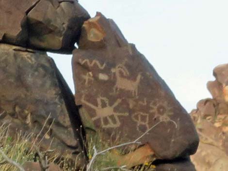
Overview Grapevine Canyon is a rocky canyon in granite mountains (unusual for the Las Vegas area) with an amazing array of petroglyphs, several stands of cottonwood trees, a seasonal stream, water-sculpted narrows, and a nice little waterfall with a bathtub at about 1.7 miles out. The Grapevine Canyon Waterfall route is a good hike that runs up a sandy wash for 0.3 miles to petroglyphs on cliffs at the mouth of the canyon. After that, the route boulder-hops up the canyon for another 1.4 miles to a 15-foot waterfall. Link to map. |
 Trailhead (view W) |
Watch Out Other than the standard warnings about hiking in the desert, ...this hike is fairly safe, but for those of us used to walking on rough, almost sticky, limestone and sandstone, the water-polished granite is surprisingly slick. There is a fair bit of scrambling over and around boulders and walking on granite slickrock, so be careful when you get high enough to fall and hurt yourself. While hiking, please respect the land and the other people out there, and try to Leave No Trace of your passage. Also, this is a fairly short hike, so just bring what you need of the 10 Essentials. This hike goes into the Bridge Mountain Wilderness Area, so pay extra attention to respecting the land, and don't touch or otherwise mess with the petroglyphs. |
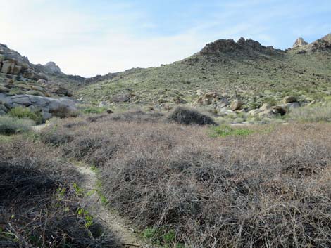
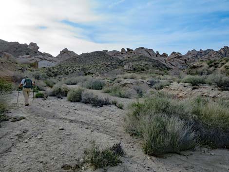
 Approaching the trailhead (view W) |
Getting to the Trailhead This hike is located in Lake Mead National Recreation Area near Laughlin, about 75 miles south of Las Vegas (7 miles west of Laughlin). From Las Vegas, drive south 54 miles on Highway 95 to Highway 163. Turn left onto Highway 163 towards Laughlin and drive east for 12.8 miles to Christmas Tree Pass Road. Watch for a small sign indicating a left turn. Turn left onto Christmas Tree Pass Road, into Lake Mead NRA, and drive north 1.8 miles to a T-intersection with the Grapevine Canyon Road. Turn left onto Grapevine Canyon Road and drive west about 0.15 miles to the parking area at the end of the road. Park here; this is the trailhead. |
 Trailhead (view NW) |
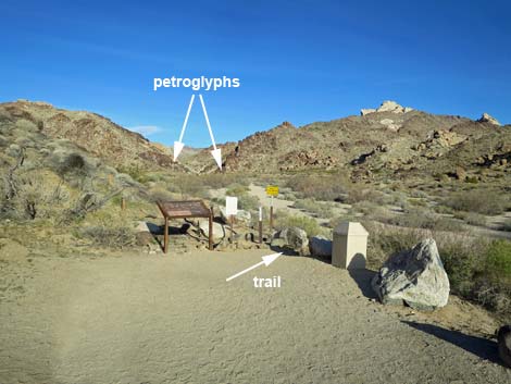
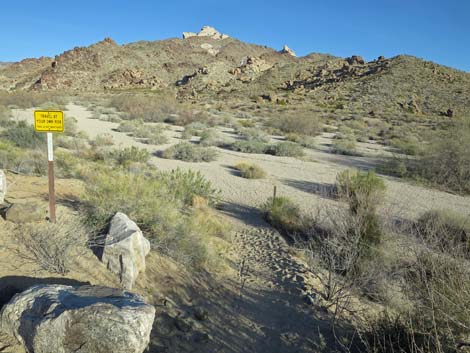
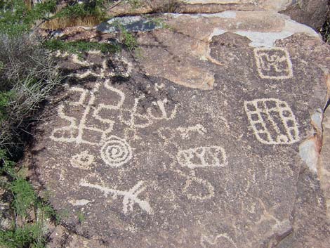
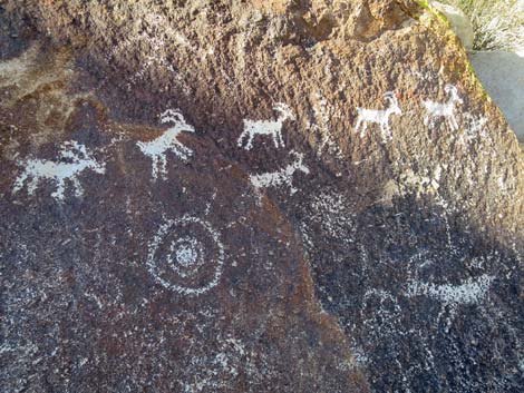
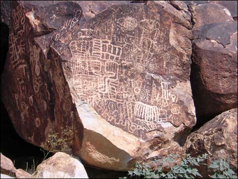
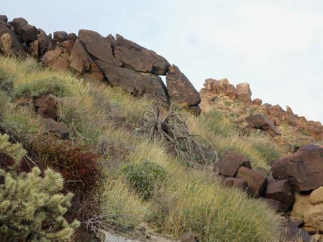
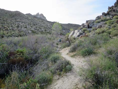
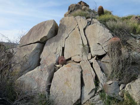
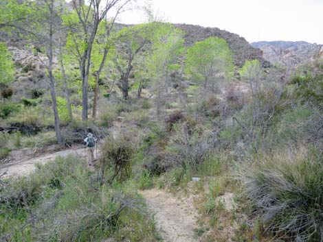
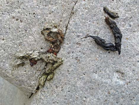
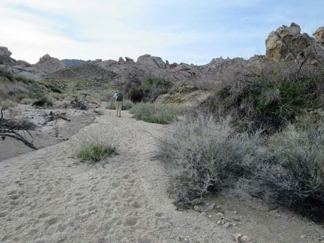
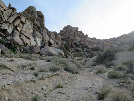
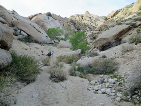
The Hike From the trailhead (Table 1, Waypoint 01), The Grapevine Canyon trail drops into Grapevine Wash. The trail runs out for 0.27 miles to a gap in the cliffs where Grapevine Wash comes out of the canyon (Wpt. 02) and empties onto the desert flats. There is an amazing amount of rock art on the granite cliffs on both sides of the gap. There are some nice petroglyphs at eye-level right where the trail gets to the cliffs, but there are better ones a few feet higher up the cliff and across the wash. Most of the rock art is within a 1-minute walk of the gap, but rock art is scattered up the wash. Be careful if you climb the cliffs to see the petroglyphs up close. Don't fall, and also don't climb on the petroglyphs. These are treasures from a time gone by, and all of us are responsible for taking care of them. |
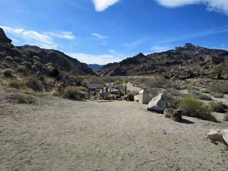
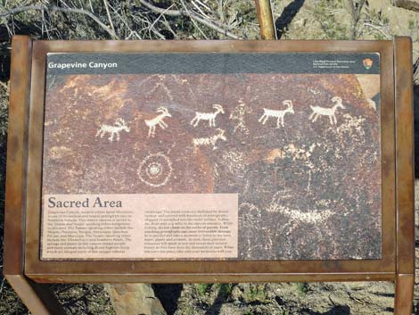 Trailhead sign: sacred area (view NW) |
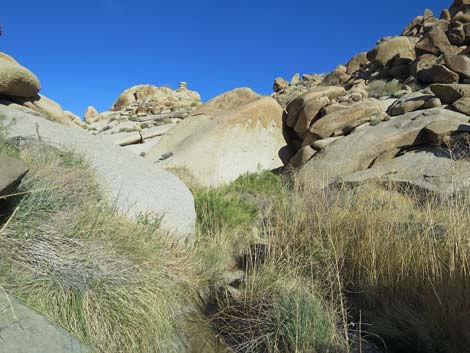
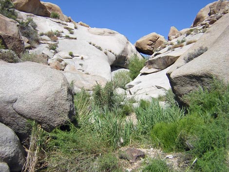
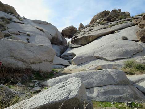
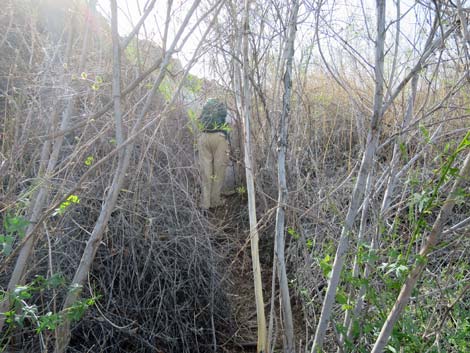
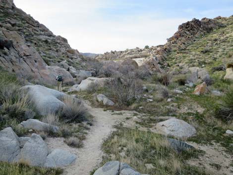
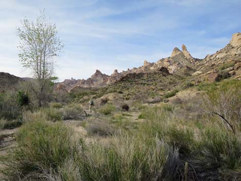
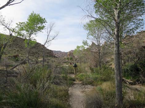
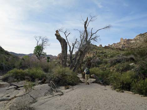
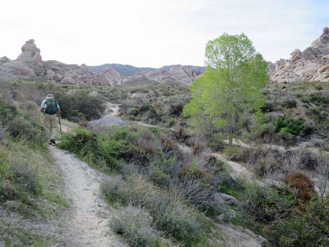
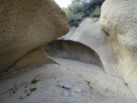
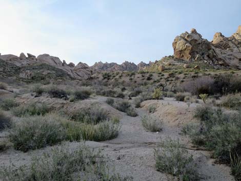
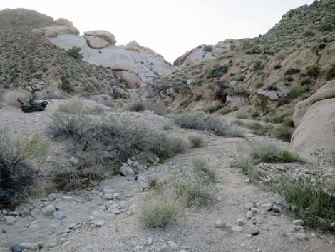
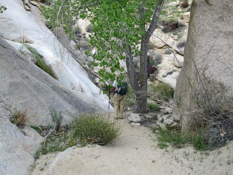
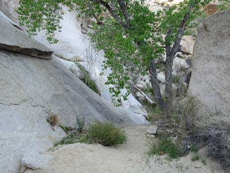
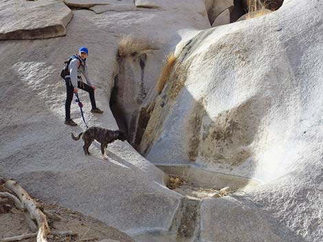
Past the end of The Grapevine Canyon Trail, the waterfall route continues west and up the wash (including climbing through and around a thicket of wild grape and common reed) for about 0.09 miles, there is an enormous overhanging boulder in the bottom of the canyon. Just beyond the boulder, someone (probably ranchers), built a small cement dam (Wpt. 03) on a slickrock pour-over to catch water and pipe it down the canyon. The dam is now gone, but marks on the granite slickrock recall its former glory. Use-trails continue up the canyon on both sides of the wash, but getting past a narrow granite canyon with a boulder cap is a bit easier on the north side. Above the narrow section, the canyon opens onto a nice grove of cottonwood trees (Wpt. 04). For the next 0.75 miles or so, use-trails run up both sides of the wash, passing narrow rocky spots and slickrock granite interspersed with broad, sandy canyon bottoms with cottonwood groves. The trees attract a variety of bird species. Northern Mockingbirds, Gambel’s Quail, Ash-throated Flycatchers, American Goldfinches, House Finches, and other species nest here. |
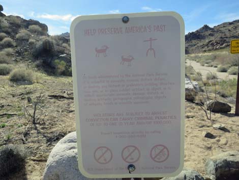 Trailhead sign; protect America's past (view NW) |
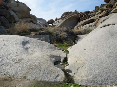
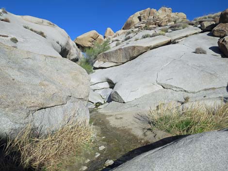
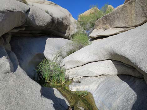
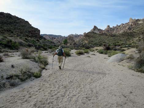
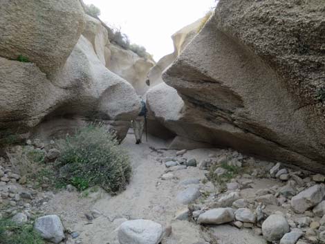
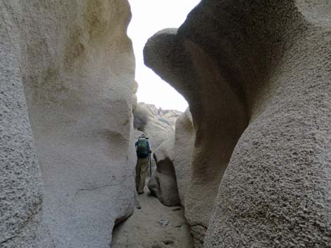
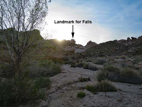
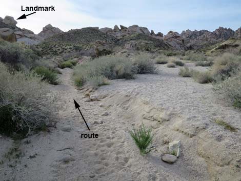
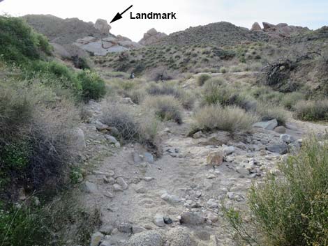
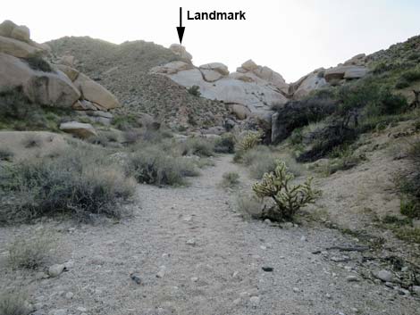
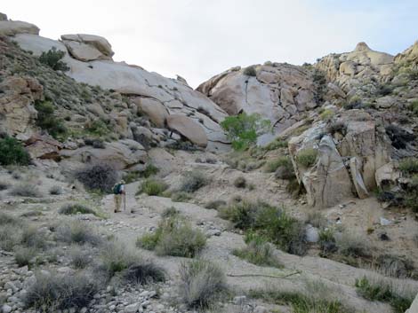
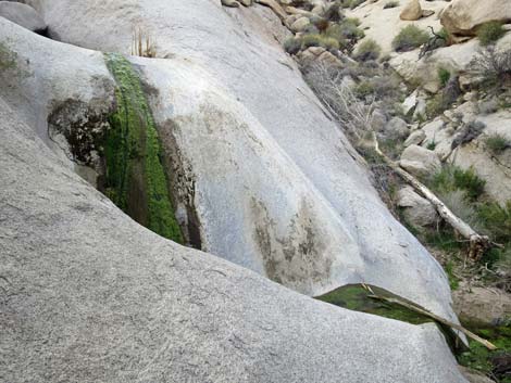
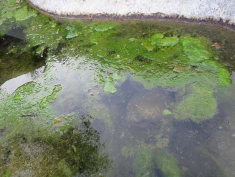
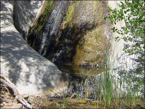
Past the last large grove of cottonwood trees (Wpt. 05), the wash runs up through a section of shallow, but winding narrows cut into the granite bedrock (Wpt. 06). The walls are low, but the gorge is narrow, winding, and scenic. Just above the narrows, hikers can look west to see an odd granite crag on the skyline shaped like a head with the nose pointing north. This crag makes for a good landmark going forward. Above the granite narrows, stay left (south) at the confluence of two washes. The south fork winds about, and at about 0.27 miles above the top of the narrows, the canyon is blocked by a 15-ft waterfall that drops into two nice bathtub pools in a little granite gorge (Wpt. 07). The outer pool, at least, is a nice place for a cold bath on a hot day, but be careful to avoid hurting red-spotted toad tadpoles if they are present. Routes continue up the canyon, but this is a nice spot to stop, rest in the shade of the cottonwood tree, and then return to the trailhead by following the wash back down the canyon. For photos of the return, see Grapevine Canyon Waterfall, Return to Trailhead. |
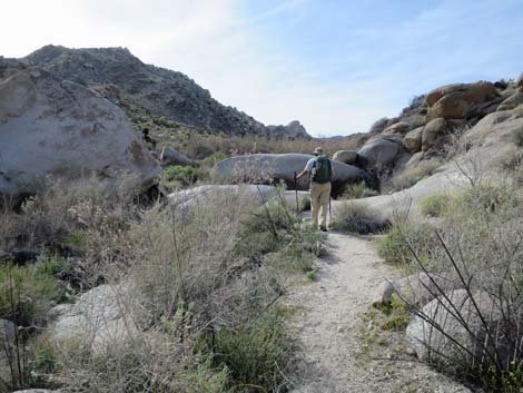
 The trail descends into the wash (view NW) |
 In the wash, the trail heads uphill (view N) |
 Trail in the wash with blooming Brittlebush (view N) |
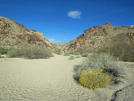
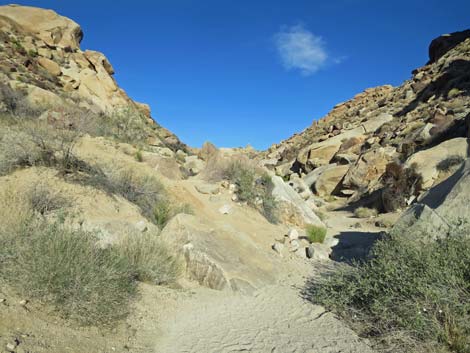
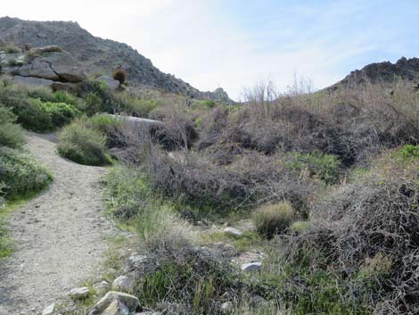
 Entrance to the canyon (view W) |
 Entrance to the canyon during wet spring (view W) |
 Entrance to the canyon: south side (view W) |
 South side, outside entrance to the canyon (view SW) |
 South side, inside entrance to the canyon (view S) |
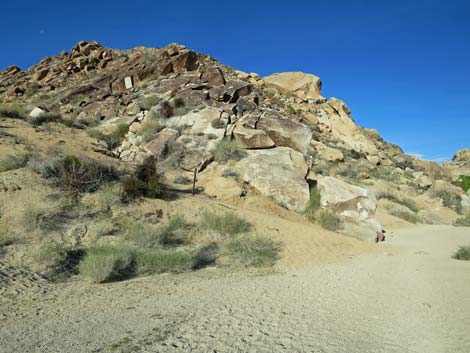
 Entrance to the canyon: north side (view W) |
 North side, entrance to the canyon (view NW) |
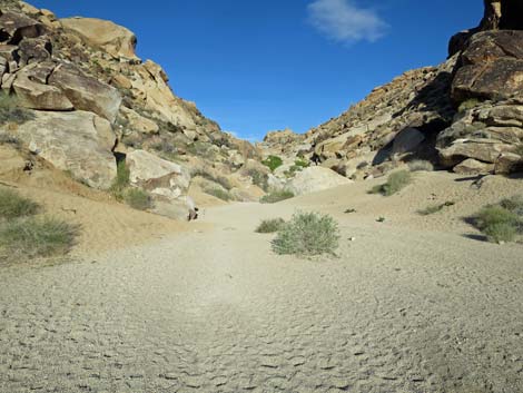
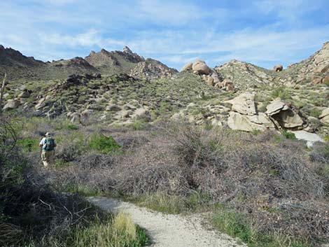
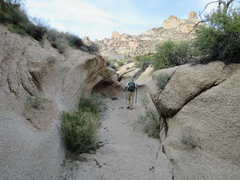
 Continuing up the canyon (view W) |
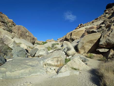 Lots of boulders to pass (view W) |
 First patch of Canyon Grape (view W) |
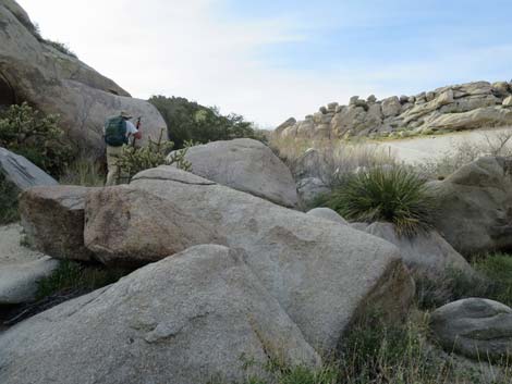
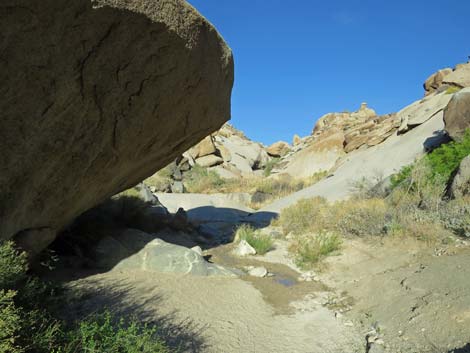 Enormous overhanging boulder (view W) |
 chockstone ahead spans a gorge (view W) |
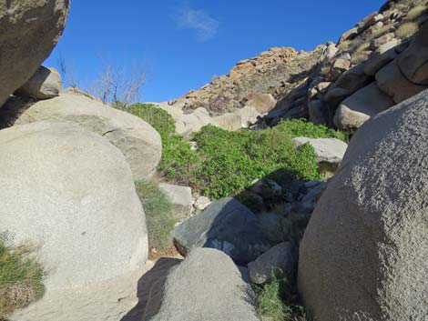
 Grasses and shrubs hinder travel (view W) |
 Stream and smooth granite (view W) |
 Minor obstacles (view W) |
 Stream and smooth granite; not the route (view W) |
 Pick either side to pass the chockstone (view W) |
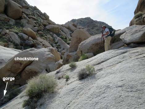 Hiker staying right to pass the granite gorge (view W) |
 Narrow path above the gorge (view W) |
 Looking back, the chockstone spans the gorge (view SE) |
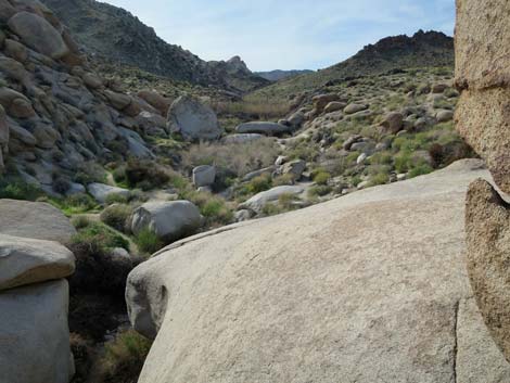
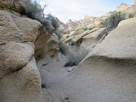
 Beyond the gorge, the canyon opens up (view W) |
 Use-trail winds through grapevines and other shrubs (view W) |
 Use-trail winds through grapevines and other shrubs (view W) |
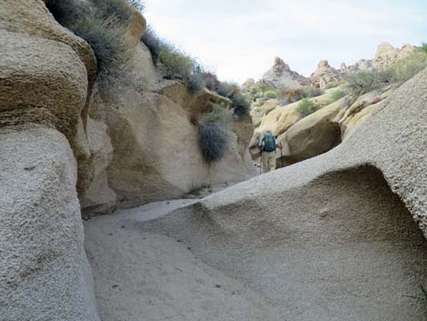
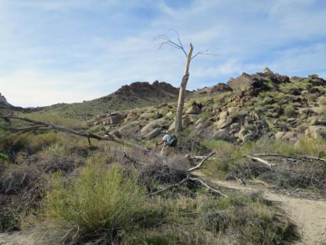 Hiker passing a dead cottonwood tree (view NW) |
 Isolated petroglyph panel high on the hillside (view N) |
 Isolated petroglyph panel high on the hillside (zoom, view N) |
 Isolated petroglyph panel high on the hillside (zoom, view N) |
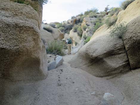
 Use-trail pushes through willow thicket (view W) |
 Use-trail winds through field of grapevines (view W) |
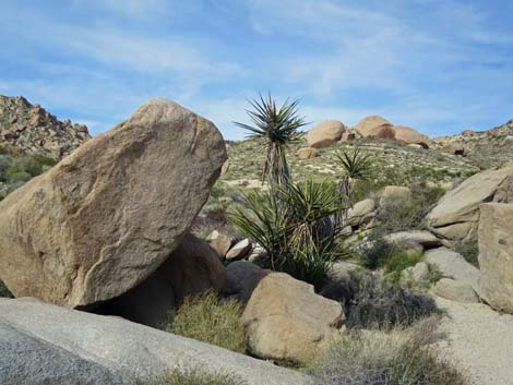 Granite boulders and Mojave Yucca (view N) |
 |
 Hiker working through granite boulders (view N) |
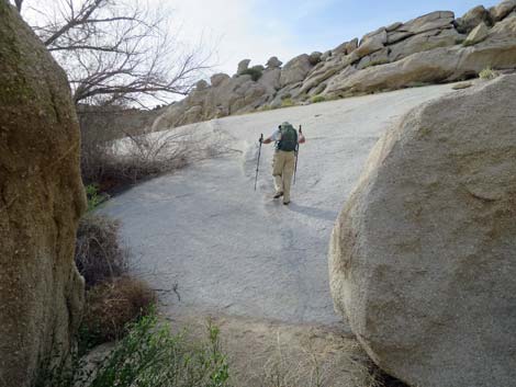 Hiker starting onto smooth granite (view W) |
 Hiker crossing smooth granite (view W) |
 The route drops back into the sandy wash (view W) |
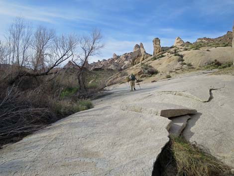
 Grand scenery with granite spires (view N) |
 Use-trail running along edge of the wash (view W) |
 Fractured granite with barrel cactus (view N) |
 Use-trail runs back into the wash (view W) |
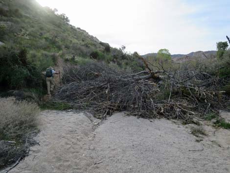
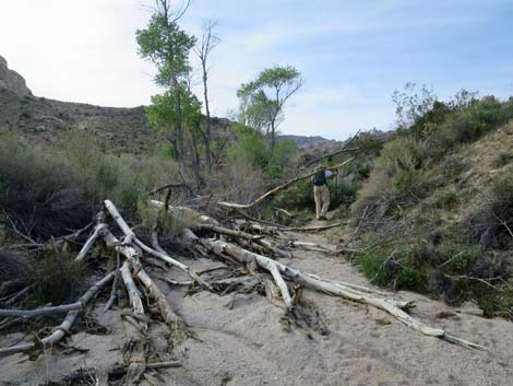 Fallen cottonwoods block the wash; bypass on right bank (view W) |
 Past the tree fall, use-trail drops back into the wash (view W) |
 Dead giants make way for young cottonwood trees (view W) |
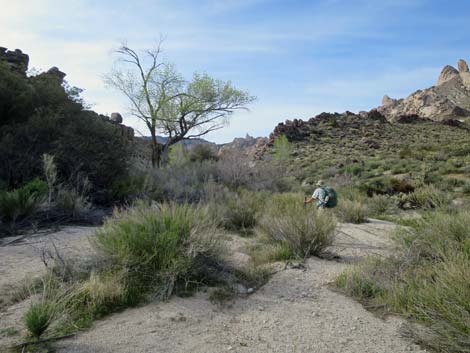
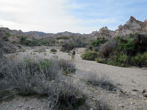
 Open, sandy wash (view NW) |
 Another dead giant in the wash (view NW) |
 Yet another dead giant blocks wash; bypass to the right (view NW) |
 Bypass runs high on the hillside (view NW) |
 Route drops back into the wash (view NW) |
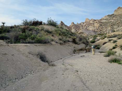 Wash bends right and narrows (view N) |
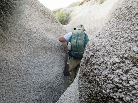
 Hiker entering the granite narrows (view N) |
 Hiker in the granite narrows (view N) |
 Hiker winding through the granite narrows (view N) |
 A bit of more-open canyon (view N) |
 A small carnivore lives here (skunk, weasel, or ringtail scat) |
 Sculpted stone in the granite narrows (view N) |
 The granite narrows get narrower (view N) |
 The granite narrows get narrower and deeper (view N) |
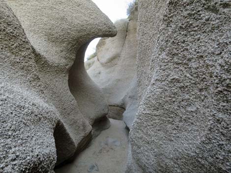 Sculpted stone in the granite narrows (view N) |
 Hiker at the end of the granite narrows (view N) |
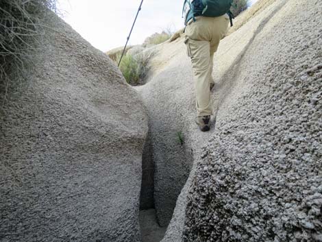 Hiker exiting the granite narrows (view N) |
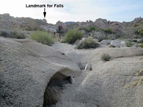 Hiker beyond granite narrows; note landmark on horizon (view NW) |
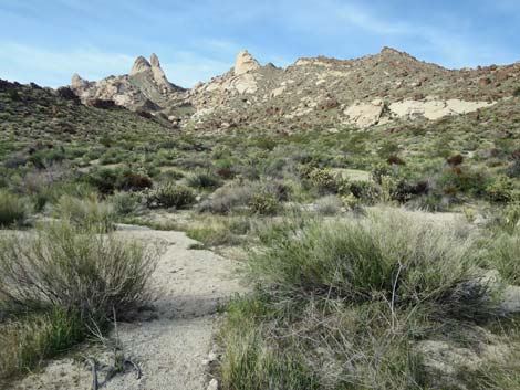
 Open wash beyond the granite narrows (view NW) |
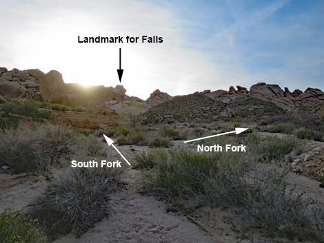 Beyond the granite narrows, the canyon forks (view W) |
 North Fork; not the route (view N) |
 South Fork; the route (view W) |
 Hiker staying left into the South Fork (view W) |
 Staying left into the South Fork towards landmark (view W) |
 South Fork is narrower and smaller than North Fork (view W) |
 Winding up the South Fork (view W) |
 Granite crags along the South Fork (view SW) |
 Continuing towards the landmark on the horizon (view W) |
 The landmark stone sinks behind granite slabs (view NW) |
 Hiker approaching granite slabs and cottonwood trees (view NW) |
 Hiker approaching granite slabs and cottonwood trees (view NW) |
 Hiker approaching cottonwood trees (view N) |
 Hiker approaching cottonwood trees (view N) |
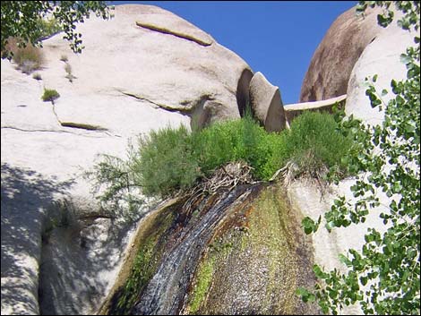
 Waterfall past cottonwood tree (view N) |
 Waterfall and sculpted granite (view N) |
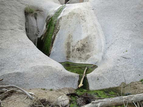 Waterfall and sculpted granite (view W) |
 Waterfall and sculpted granite (view W) |
 Waterfall and sculpted granite (view W) |
 Not the best time for a soak (view down) |
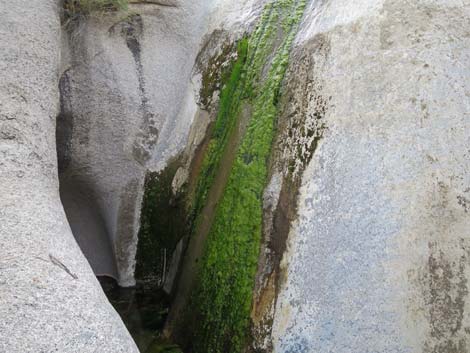 Trickle of water over the water-polished granite (view W) |
 Waterfall and sculpted granite (view S) |
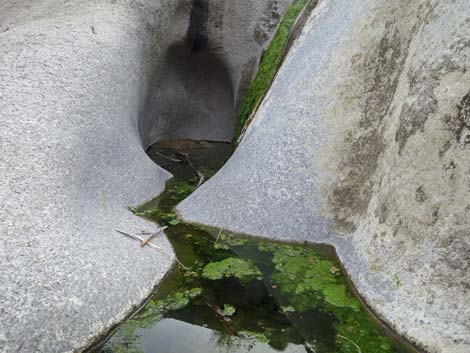
 Top of the waterfall (view W) |
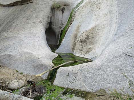
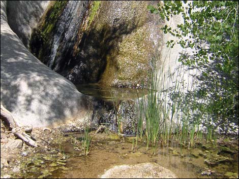 Waterfall and bathtub (view W) |
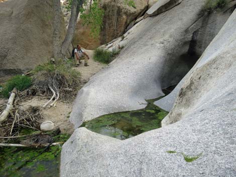
 Bottom of the waterfall and bathtub (view W) |
 Sometimes the falls are dry (view W) |
Table 1. Hiking Coordinates Based on GPS Data (NAD27; UTM Zone 11S). Download Hiking GPS Waypoints (*.gpx) file.
| Wpt. | Location | UTM Easting | UTM Northing | Elevation (ft) | Point-to-Point Distance (mi) | Cumulative Distance (mi) |
|---|---|---|---|---|---|---|
| 01 | Grapevine Canyon Trailhead | 711051 | 3900358 | 2,366 | 0.00 | 0.00 |
| 02 | Petroglyphs | 710645 | 3900478 | 2,420 | 0.27 | 0.27 |
| 04 | Trees above Rock Tunnel | 710246 | 3900521 | 2,539 | 0.29 | 0.56 |
| 05 | Cottonwood Grove | 709415 | 3900850 | 2,680 | 0.67 | 1.23 |
| 06 | Top of Narrows | 709213 | 3900957 | 2,691 | 0.16 | 1.39 |
| 07 | Waterfall | 708780 | 3900963 | 2,751 | 0.31 | 1.70 |
| 01 | Grapevine Canyon Trailhead | 711051 | 3900358 | 2,366 | 1.70 | 3.40 |
Happy Hiking! All distances, elevations, and other facts are approximate.
![]() ; Last updated 240326
; Last updated 240326
| Hiking Around Lake Mead | Hiking Around Las Vegas | Glossary | Copyright, Conditions, Disclaimer | Home |