Fence Point to Parissawampitts Point Loop
Hiking Around Las Vegas, Grand Canyon National Park
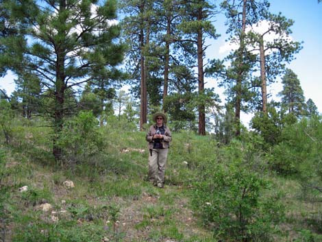
 Campsite at Fence Point (view SW) |
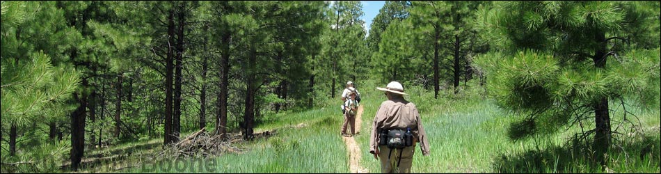
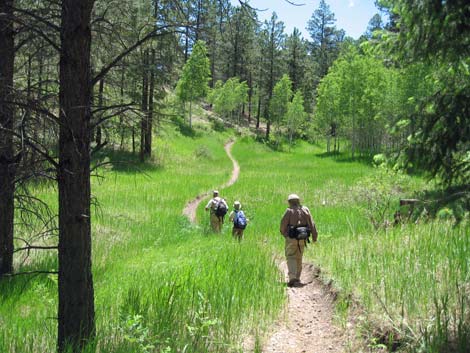
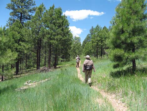
Overview The Rainbow Rim Trail runs for about 18 miles from Timp Point in the south to Parissawampitts Point in the north, passing North Timp, Locust, and Fence Points along the way. This area is not actually in Grand Canyon National Park, rather it is located on the Kaibab National Forest where regulations are less restrictive. For example, the area is free, this trail is open to mountain bikes, and camping is permitted anywhere. However, there are no facilities. The trail was actually designed for mountain biking and the grades are gentle, which makes for easy hiking. While it is true that there are some nice views of the Grand Canyon along this trail, they are only at the points. Essentially all of the hiking is back in the woods, and we were disappointed to spend an entire day of vacation hiking on this trail. Link to trail map, trailhead sign map, or elevation profile. |
 Hiking in the woods (view NE) |
Watch Out Other than the standard warnings about hiking in the desert, ...this trail is pretty safe, but in a couple of places, it runs along steep hillsides with precipitous drop-offs, and while not a dangerous trail, falls from the overlooks would be damaging. While hiking, please respect the land and the other people out there, and try to Leave No Trace of your passage. Also, this is a long hike, so be sure to bring the 10 Essentials. |
 Hiking in the woods (view NW) |
Getting to the Trailhead
This hike is located on the North Rim of the Grand Canyon, about 7 hours northeast of Las Vegas. From Las Vegas, drive out towards the North Rim of Grand Canyon National Park. From Jacob's Lake, AZ (Table 1, Site# Road 00), drive south to the Kaibab Lodge, which is before you enter the National Park. Just south of the Lodge, turn west on Forest Road (FR)22 (Site# Road 11). All of the signed roads are well maintained, but rain, snow, and fallen trees can make the roads temporarily impassable. |
 Hiking in the woods (view N) |
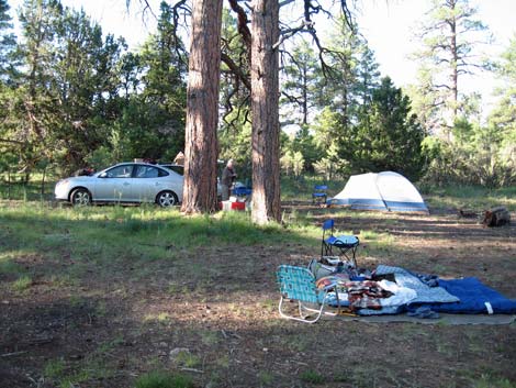
Drive northwest on FR22 for about 10.4 miles to a signed intersection with FR206 (Site# Road 12). Follow FR206 south for 5.0 miles to a signed intersection for Locust and Fence Points (FR293, FR294) (Site# Road 15). Turn west and shortly turn northwest onto Fence Point Road (FR293; Site# Road 16). Follow the road for another 8.2 miles to Fence Point (Site# Road 23). There is one big drive-in campsite just back from the end of the road and some walk-in campsites out on the rim. |
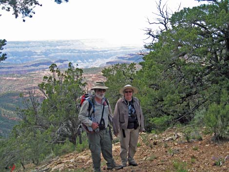 Finally -- a view only a few minutes before Parissawampitts! |
The Hike I didn't think the hike was worth it, so I don't want to spend a lot of effort here. Suffice to say that we picked up the trail where it finally left the road, walked through the woods all the way to within a few minutes of Parissawampitts Point before we got a view, then walked back on the road hoping for a change of scenery (see the map of our route). In all, we put in 7.9 miles on this hike, and our conclusion was that it was a nice hike in the woods, but we wanted rim views. In hindsight, we could have enjoyed our rim view at camp on Fence Point, driven to Parissawampitts Point and enjoyed the view there, and still we would have had enough time for a real hike in the canyon. |
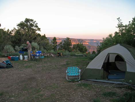
 Parissawampitts Point and car camping (view W) |
From the looks of things, my guess is that the hike from Fence to Locust would also stay away from the rim. I can't speak about the trail south of Locust, but the map makes it look similar. I would not spend my time hiking this trail unless you want to hike in the woods. For car camping at Parissawampitts Point, there is one campsite with a view. There are a few other campsites a short way back up the road, perhaps three sites in total. |
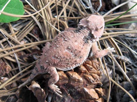 One of several horned lizards along the trail |
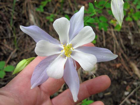 Colorado Blue Columbine |
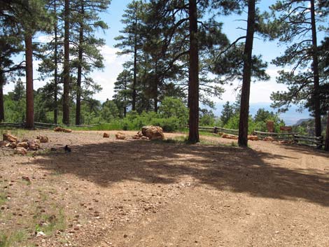
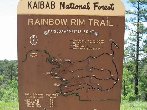 Trailhead sign at Parissawampitts Point (click to enlarge) |
 Camp with a view (view S) |
Table 1. Highway Coordinates (NAD27, UTM Zone 12S). Note: these are UTM Zone 12 Download GPS Waypoints (*.gpx) file.
| Site # | Location | Latitude (N) | Longitude (W) | UTM Easting | UTM Northing | Elevation (feet) | Verified |
|---|---|---|---|---|---|---|---|
| Road 11 | Hwy 67 at FR22 | 36.40108 | -112.12876 | 398781 | 4028826 | 8,700 | GPS |
| Road 12 | FR22 at FR206 | 36.46470 | -112.26049 | 387060 | 4036029 | 8,354 | GPS |
| Road 15 | FR206 at FR293-FR294 | 36.40120 | -112.23475 | 389276 | 4028955 | 8,510 | GPS |
| Road 16 | FR294 at FR293 | 36.40191 | -112.24179 | 388646 | 4029042 | 8,537 | GPS |
| Road 23 | FR293 at Fence Point (end of road) | 36.40488 | -112.36736 | 377390 | 4029524 | 7,531 | GPS |
| Road 14 | FR214 at Parissawampitts Point | 36.41871 | -112.36634 | 377503 | 4031056 | 7,620 | GPS |
Table 2. Hiking Coordinates (Waypoints; NAD27; UTM Zone 12S). Note: these are UTM Zone 12. Download GPS Waypoints (*.gpx) file.
| Wpt. | Location | Easting | Northing | Elevation (ft) | Point-to-Point Distance (mi) | Cumulative Distance (mi) | Verified |
|---|---|---|---|---|---|---|---|
| 01 | Start along Road | 378720 | 4029775 | 7,702 | 0.00 | 0.00 | GPS |
| 02 | First View | 377698 | 4030781 | 7,640 | 3.73 | 3.73 | GPS |
| 03 | Parissawampitts Point | 377404 | 4031125 | 7,562 | 0.43 | 4.16 | GPS |
| 04 | Parissawampitts Trailhead | 377503 | 4031056 | 7,620 | 0.09 | 4.25 | GPS |
| 05 | Leave Road | 379946 | 4030810 | 7,814 | 1.66 | 5.91 | GPS |
| 06 | Leave Trail | 379318 | 4029796 | 7,758 | 1.45 | 7.36 | GPS |
| 01 | End along Road | 378720 | 4029775 | 7,702 | 0.43 | 7.79 | GPS |
Happy Hiking! All distances, elevations, and other facts are approximate.
![]() ; Last updated 240326
; Last updated 240326
| Hiking the Grand Canyon | Hiking Around Las Vegas | Glossary | Copyright, Conditions, Disclaimer | Home |