Backroads Around Las Vegas, Desert National Wildlife Refuge
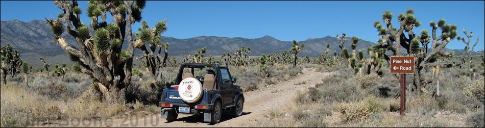
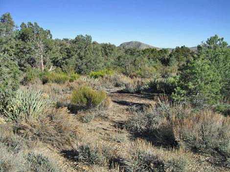
 Pine Nut Road (view N from Mormon Well Road) |
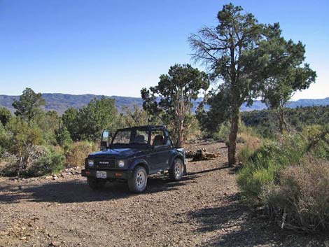
Overview Pine Nut Road is a 6-mile, bumpy dirt road on the east side of the Sheep Range that runs north from Mormon Well Road to Pine Nut, a traditional camping area. Pine Nut is just inside the Pinyon-Juniper Woodland zone, which means the campsites are shaded by Single-leaf Pinyon and Utah Juniper. The road usually requires only a high-clearance vehicle, but it can get troublesome crossing the first and second large washes. Pine Nut Road provides access to the east face of Sheep Mountain, the namesake of the mountain range. This is a nice side road for a drive in the desert and an easy way to get away from town and camp out in the desert with some shade, but it is wild and remote country without any services. Link to map. |
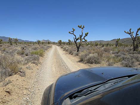
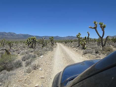
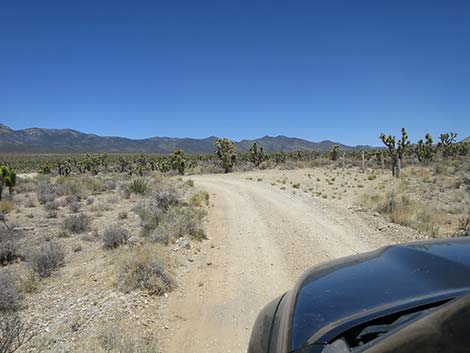
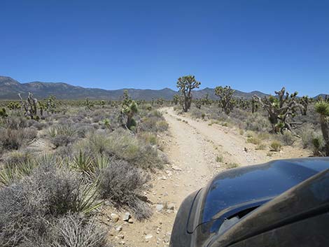
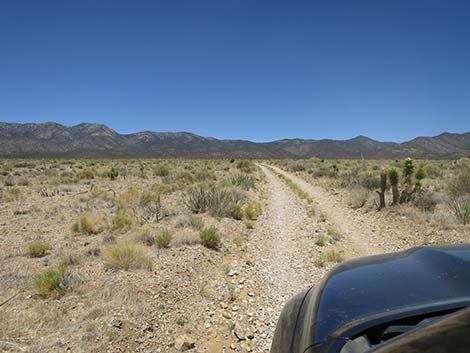
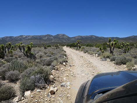
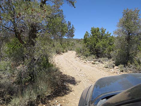
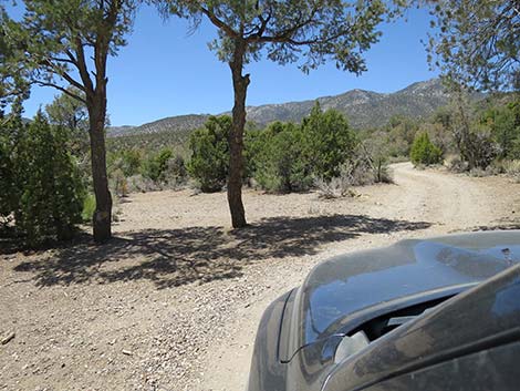
 Pine Nut Road is bumpy, but generally a good road (view N) |
Watch Out Other than the standard warnings about hiking in the desert... Pine Nut Road generally is a good dirt road, but it runs out into wild and remote country. There are no services or developments of any kind. Cell phones do not work. Bring water and food, a good spare tire, a shovel, tools, a tow rope, bailing wire (I learned the hard way) and anything else that you might need to survive a night stuck out in the desert. While out there, please respect the land and the other people out there, and try to Leave No Trace of your passage. Also, this road leads to remote country, so be sure to bring the 10 Essentials. This is a wildlife refuge, so pay extra attention to respecting the land. For general information on camping, hiking, regulations, natural history, and other issues about the Wildlife Refuge, see the Desert National Wildlife Refuge -- Area Overview page. |
 |
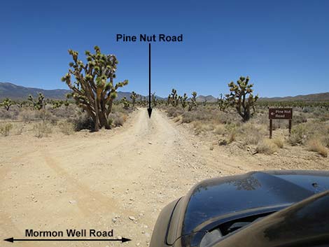
Location Pine Nut Road is located on the Desert National Wildlife Refuge and starts about 1.5 hours northwest of Las Vegas. To get there, drive out Corn Creek Road to the Information Kiosk (Table 1, Site 0106) at Corn Creek Field Station. Continue east for about 100 yards to a T-intersection with a large directional sign. Turn right onto Mormon Well Road and follow it south, then east, for about 15 miles to Pine Nut Road (Site 0424), on the left (north). |
 |
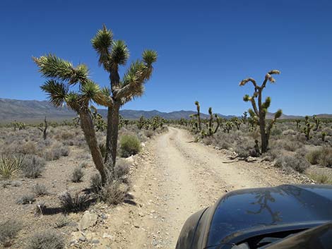
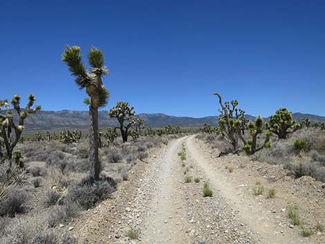
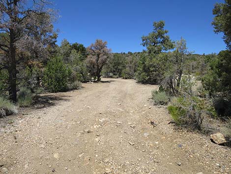
The Road From Mormon Well Road (Site 0424), Pine Nut Road runs north along a low ridge through the Yucca Forest. At about 1.28 miles out, the road passes a weather station, on the right. The road winds about, generally heading north, and at about 2.51 miles out, bends to the left at a trailhead parking area with a post-and-cable fence and a small trailhead sign, on the right. Here, the Yucca Forest Trail heads north following an old road. Although not advertised, this trail runs generally north for 6 miles to a dead end in the foothills of the Sheep Range. Passing the trailhead, Pine Nut Road bends left (west) to drops into and cross a wash (2.6 miles out). After storms, this wash can be a problem to cross in 2WD, but if you get across, the rest of the road is in better condition. |
 |
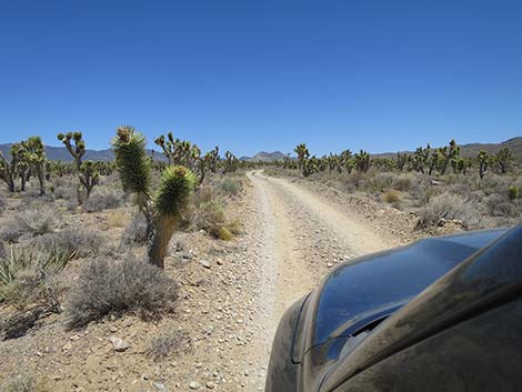
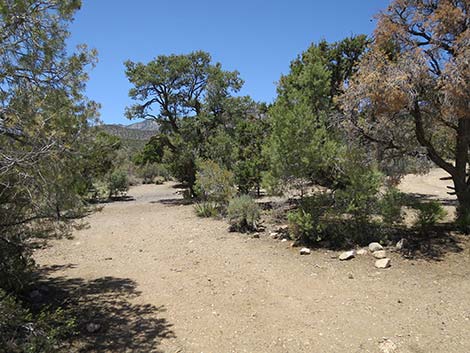
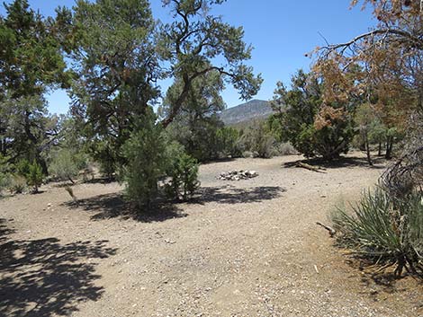
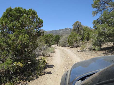
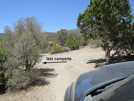
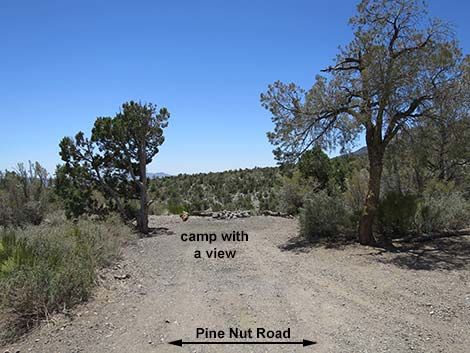
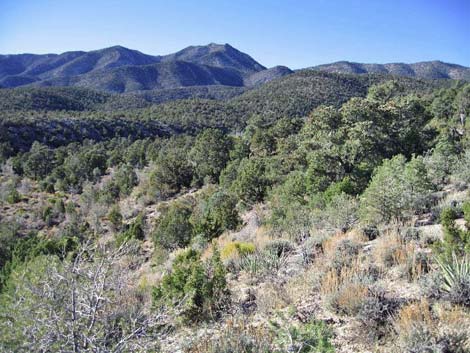
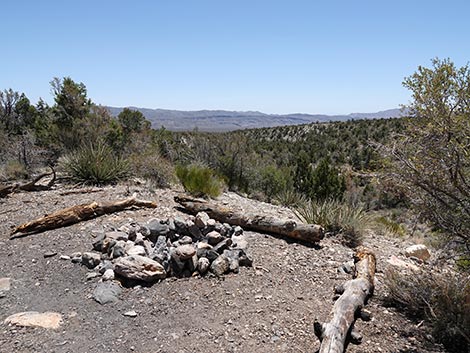
After the wash, Pine Nut Road bears more to the northwest, heading towards Sheep Peak in the distance. At about 3.71 miles out, the road enters into an old burn area. I think this fire burned in the early 1990s (certainly before 2000), and it is interesting to see how the desert is growing back, or not growing back, as the case may be. Continuing, at about 4.17 miles out, Pine Nut Road exits the burn area. Eventually, the road gains enough elevation to climb out of the Mojave Desert Scrub zone and into the Pinyon-Juniper Woodland zone where trees begin to provide shade. At first, the trees are sparse, but near the end of the road (about 5.75 miles out), the trees are dense and press in on the sides of the road. At the end of the road, 6.06 miles out, 6-8 campsites are variously tucked under or around the trees. The last campsite has a nice cliff-edge view to the south across Yucca Forest Valley, but unfortunately, little shade. This would be a great campsite during fall or spring when temperatures are cooler and winter snow doesn't block the road. For the return, see Pine Nut Road - Southbound. |
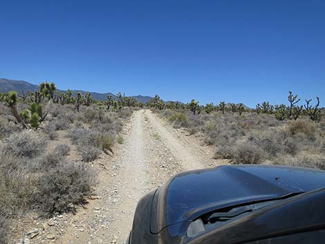
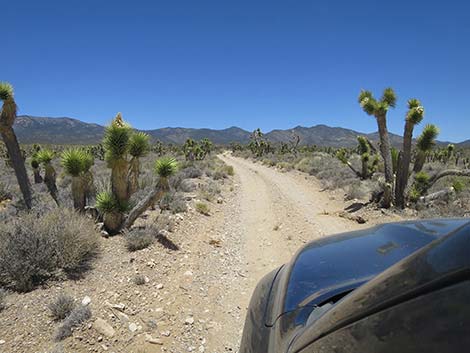
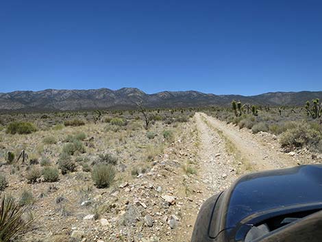
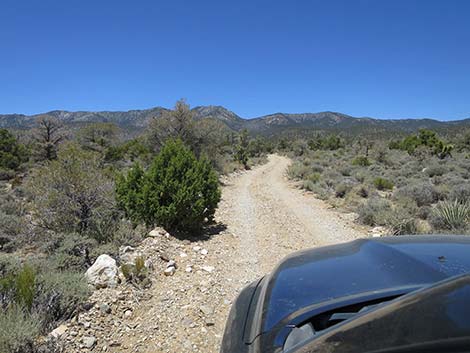
 Pine Nut Road approaching a weather station (view N) |
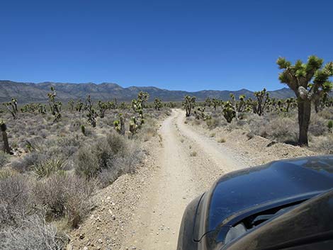
 Pine Nut Road is bumpy, but generally a good road (view N) |
 |
 |
 |
 |
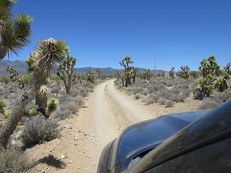
 Pine Nut Road approaching Yucca Forest Trailhead parking (view N) |
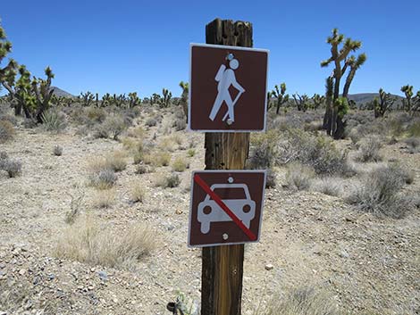
 Start of Yucca Forest Trail (view N) |
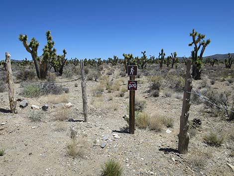
 Yucca Forest Trailhead sign (view N) |
 Past Yucca Forest Trailhead, the road dips to cross a wash (view NW) |
 |
 |
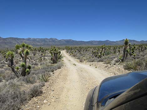
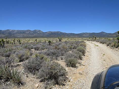 Pine Nut Road approaching Yucca Forest fire zone (view NW) |
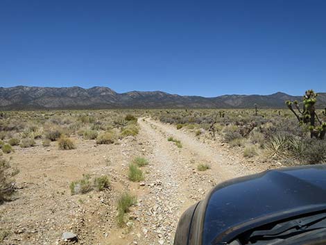 Pine Nut Road traversing Yucca Forest fire zone (view NW) |
 Pine Nut Road traversing Yucca Forest fire zone (view NW) |
 Pine Nut Road exiting Yucca Forest fire zone (view NW) |
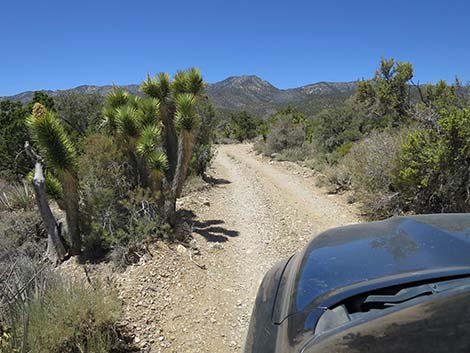
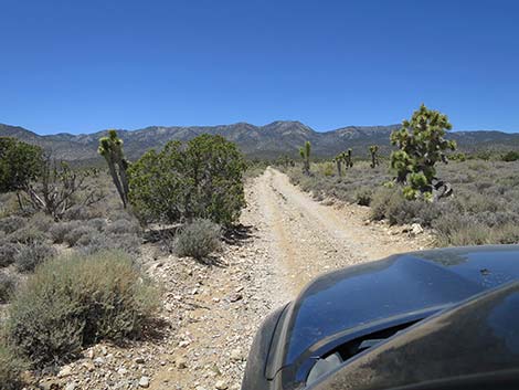 Pine Nut Road approaching first Utah Juniper tree (view NW) |
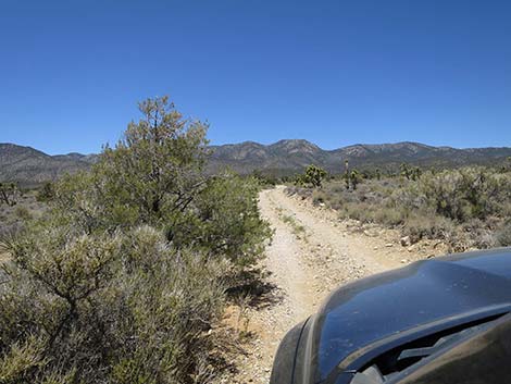 Pine Nut Road approaching first Singleleaf Pinyon Pine tree (view NW) |
 |
 |
 |
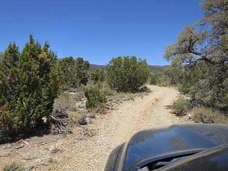 |
 Pine Nut Road winds into the forest zone (view NW) |
 Pine Nut Road approaching the first campsite (view NW) |
 Pine Nut Road passing campsites (view NW) |
 Pine Nut Road passing campsites (view NW) |
 Pine Nut Road passing campsites (view NW) |
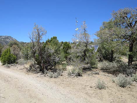 Pine Nut Road approaching a second weather station (view N) |
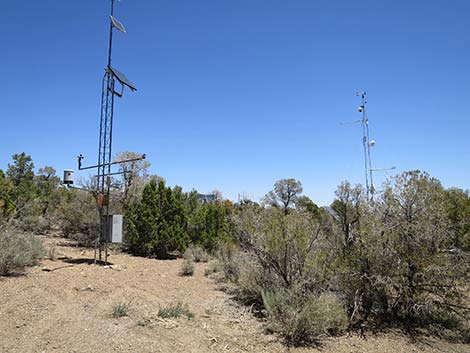 Weather station (view NE from Pine Nut Road) |
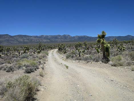
 Pine Nut Road (view SW) |
 Pine Nut Road approaching end of the road (view SW) |
 Last Campsite (view S from Pine Nut Road) |
 Last Pine Nut campsite (view SE) |
 Sheep Peak (View SW from Pine Nut Camp) |
 Trees and shrubs in the Pine Nut Camp area (view N) |
 Yucca Forest Valley (view SE from cliff-edge campsite ) |
Table 1. Highway Distances based on GPS Data (NAD27; UTM Zone 11S). Download Highway GPS Waypoints (*.gpx) file.
| Wpt. | Location | Latitude (N) | Longitude (W) | Elevation (ft) | Point-to-Point Distance (mi) | Cumulative Distance (mi) |
|---|---|---|---|---|---|---|
| 0424 | Mormon Rd at Pine Nut Rd | 36.50165 | 115.16431 | 5,282 | 0.00 | 0.00 |
| 1229 | Pine Nut Road at Wash | 36.53713 | 115.16742 | 5,748 | 2.61 | 2.61 |
| 0390 | Pine Nut Camp | 36.57270 | 115.20448 | 6,768 | 3.45 | 6.06 |
Happy Hiking! All distances, elevations, and other facts are approximate.
![]() ; Last updated 240324
; Last updated 240324
| Hiking Around DNWR | Hiking Around Las Vegas | Glossary | Copyright, Conditions, Disclaimer | Home |