Backroads Around Las Vegas, Desert National Wildlife Refuge
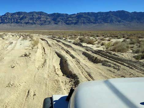 Caution: deep, soft poof-dirt on the playa |
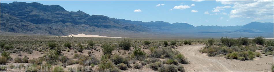
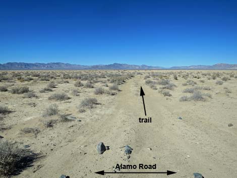
Alamo Road Southbound -- Desert Sand Dunes to Desert Dry Lake Alamo Road, so named because it connects Corn Creek Field Station in the south with the town of Alamo in the north, is a bumpy, 70-mile dirt road that runs north along the west side of the Sheep Range until crossing over near the northern terminus. Perhaps not surprisingly, this road is also called Old Corn Creek Road because, from the northern perspective, it connects Alamo with Corn Creek. Alamo road was closed some 40 miles out because of road conditions, so to visit the north end, drivers had to drive north on Highway 93 almost to Alamo, and then drive back south on Alamo Road. However, the road is now open all the way from Highway 95 to Highway 93. For a detailed description of the entire road, maps, and GPS coordinates, see Alamo Road Southbound. |
 Alamo Road at North Dunes main parking (mile 21.27; view ESE) |
 Alamo Road south of North Dunes parking (view S) |
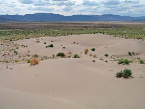
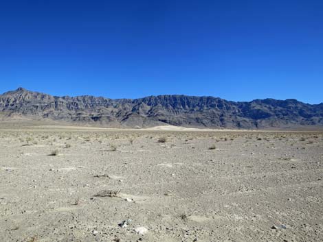 North Dunes (mile 21.41; view E from Alamo Road) |
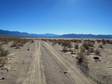
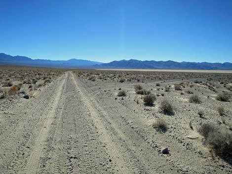
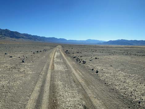 Alamo Road (view S) |
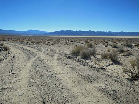
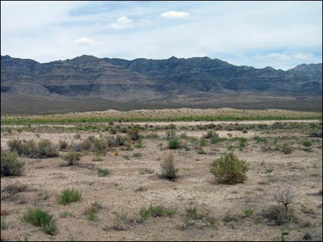
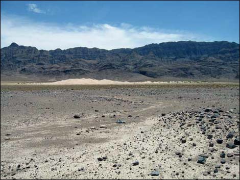 North Dunes (mile 21.88; view E from road) |
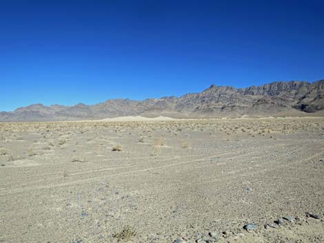
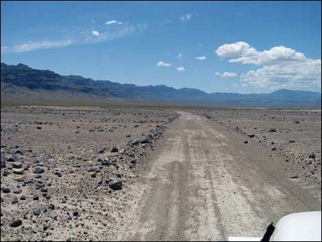 (mile 21.88; view S) |
 |
 |
 Approaching North Dunes south-end parking (mile 22.66; view SE) |
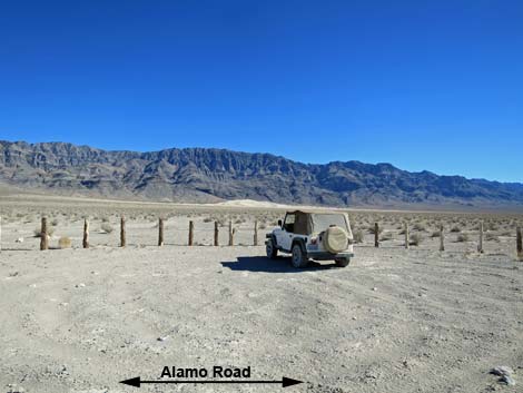
 North Dunes south-end parking (mile 22.69; view NE from Alamo Rd) |
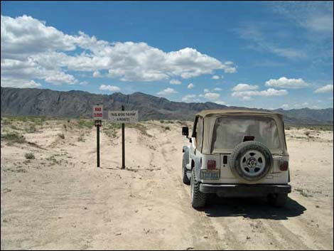
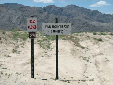
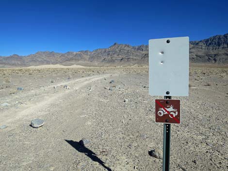 North Dunes south-end parking; road closed sign (view NE) |
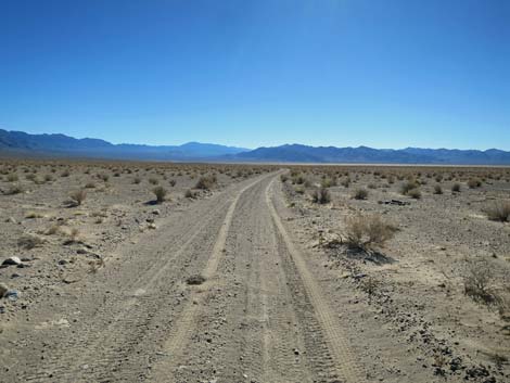
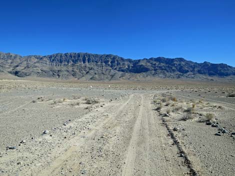
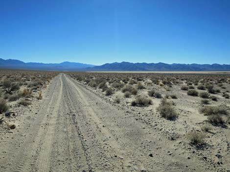 Alamo Road (view S) |
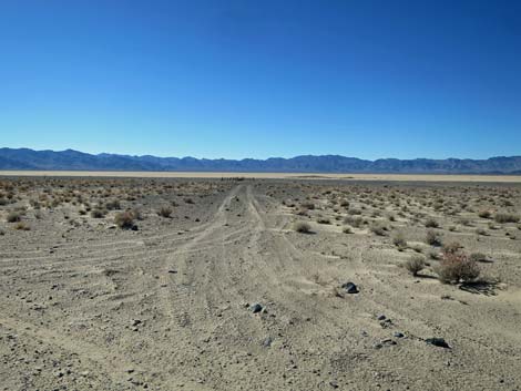
 Approaching north spur road to historic corral (mile 23.07; view S) |
 North spur road to historic corral (mile 23.07; view SW) |
 Approaching south spur road to historic corral (mile 23.07; view S) |
 Spur road to historic windmill site (mile 26.67; view NW) |
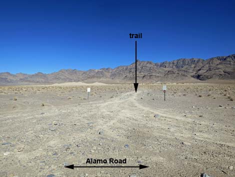
 Alamo Road North used to end here (mile 27.40; view SW) |
 Historic signs now gone (mile 27.40; view SW) |
 South Dunes (mile 27.40; view SW from Alamo Road) |
 South Dunes (view NW towards Alamo Road trailhead) |
Happy Hiking! All distances, elevations, and other facts are approximate.
![]() ; Last updated 240324
; Last updated 240324
| Backroads Around DNWR | Hiking Around Las Vegas | Glossary | Copyright, Conditions, Disclaimer | Home |