Hiking Around Las Vegas, Death Valley National Park
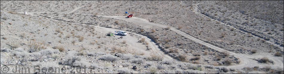
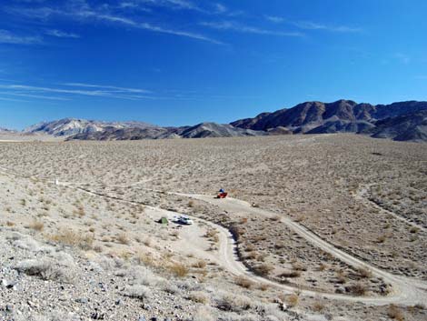
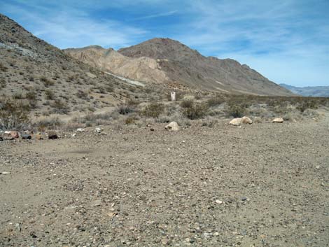
 Overview of Homestake Dry Camp (view N) |
Overview Homestake Dry Camp, located deep in the heart of Death Valley National Park and surrounded by the Death Valley Wilderness Area, is the last legal place to camp along Racetrack Road and the closest camp to the Racetrack Playa. Homestake Dry Camp is not much of a campground. It is merely a few graded areas along the turn-around loop at the end of Racetrack Road. There are no amenities except one outhouse. Campfires are illegal (despite the existence of campfire rings), and gathering firewood is unlawful. The Racetrack Playa Trailhead, with its famous moving rocks, is only 2.0 miles away, and the route to Lippincott Mine starts from the south end of the campground loop. Link to map. |
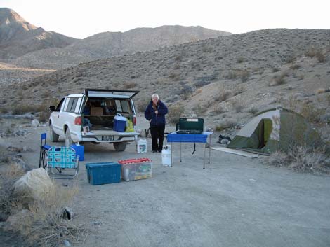 Camping in Site #2 (view S) |
Watch Out Other than the standard warnings about hiking in the desert, ...there are no particular hazards in this area, but watch for people driving too fast on "Racetrack" road. Ensure that your spare tire is in good condition, and bring plenty of water. There are a number in interesting holes in the ground at the nearby Lippincott Mine, but remember -- holes in the ground are never safe to enter. For details of issues associated with the journey, see the Racetrack Road webpage. |
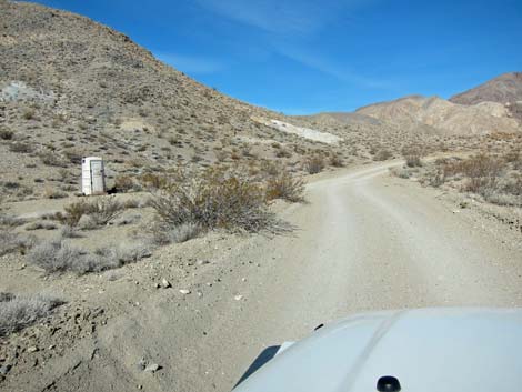
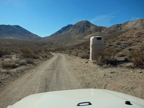 Outhouse along the entrance road (view S) |
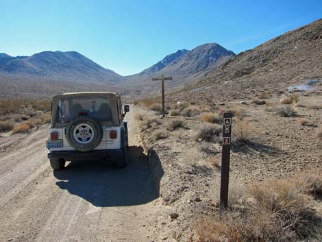
Getting to Homestake Dry Camp Homestake Dry Camp is located along Racetrack Road in the north end of Death Valley National Park, about 5-1/2 hours northwest of Las Vegas. From town, drive out to Death Valley. From the Furnace Creek Visitor Center (Table 1, Site 0712), drive north about 50 miles to the Grapevine Ranger Station. Continue north for 0.2 miles, then turn left onto Ubehebe Crater Road and drive northwest for 5.7 miles to Racetrack Road (Site 0756). Turn right onto Racetrack Road and drive 19.5 miles to Teakettle Junction (Site 0757) and the well-adorned road sign. Continue straight for 8 miles to the Racetrack Playa Trailhead, and then straight 2.0 more miles to Homestake Dry Camp. For details of the journey, see the Racetrack Road webpage. |
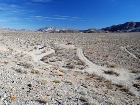
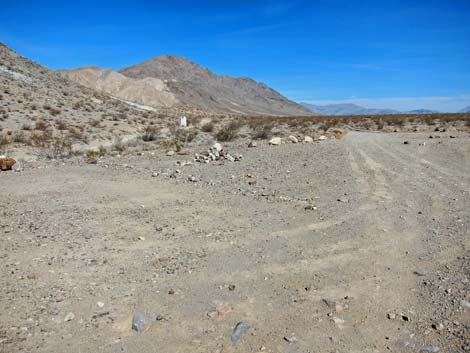
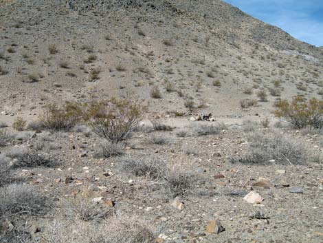
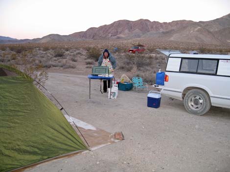
 Camp overview |
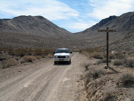
 Entrance signs |
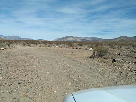
 Site #1 (view W from Racetrack Road) |
 Site #2 (view S) |
 Site #3 (view NW) |
 Site #3 (left) and #4 (right; view N) |
 Site #3 and #4 (view N) |
 Site #4 (view N) |
 Exiting camp area; outhouse on left (view NW) |
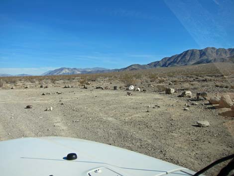
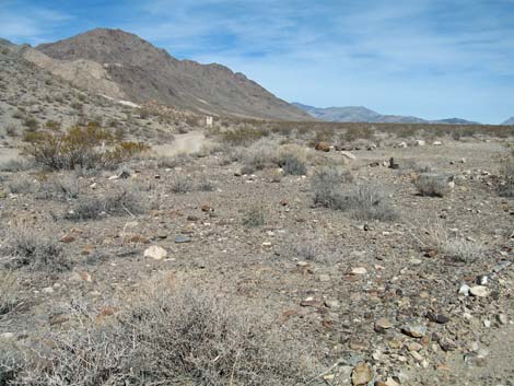
 Exiting Homestake Dry Camp (view S) |
 Illegal campfire pit in Site #2 (view W) |
 Entrance Road and outhouse (view N) |
 Camping in Site #2 (view SW) |
 Camping in Site #2 (view W) |
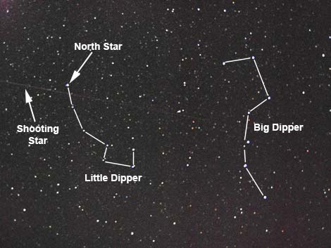 Billions of stars (view up) |
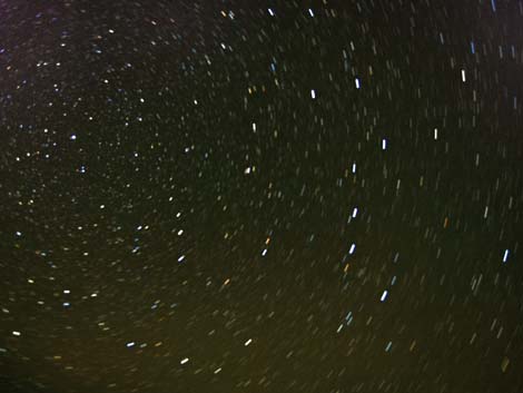 Stars rotating in the night (view up) |
Table 1. Highway Coordinates (NAD27; UTM Zone 11S). Download Highway GPS Waypoints (*.gpx) file.
| Site # | Location | Latitude (°N) | Longitude (°W) | UTM Easting | UTM Northing | Elevation (feet) | Verified |
|---|---|---|---|---|---|---|---|
| 0712 | Furnace Creek Visitor Center | 36.46159 | 116.86574 | 512030 | 4034954 | -186 | Yes |
| 0756 | Ubehebe Crater Rd at Racetrack Rd | 37.01291 | 117.45699 | 459345 | 4096199 | 2,515 | Yes |
| 0757 | Racetrack Rd at Teakettle Jct | 36.76008 | 117.54142 | 451674 | 4068192 | 4,143 | Yes |
| 0821 | Homestake Dry Camp | 36.63752 | 117.57326 | 448751 | 4054614 | 3,760 | GPS |
| 1051 | Racetrack Rd at Saline Valley Rd | 36.64157 | 117.57365 | 448719 | 4055062 | 3,803 | GPS |
Happy Hiking! All distances, elevations, and other facts are approximate.
![]() ; Last updated 240324
; Last updated 240324
| Death Valley | Hiking Around Las Vegas | Glossary | Copyright, Conditions, Disclaimer | Home |